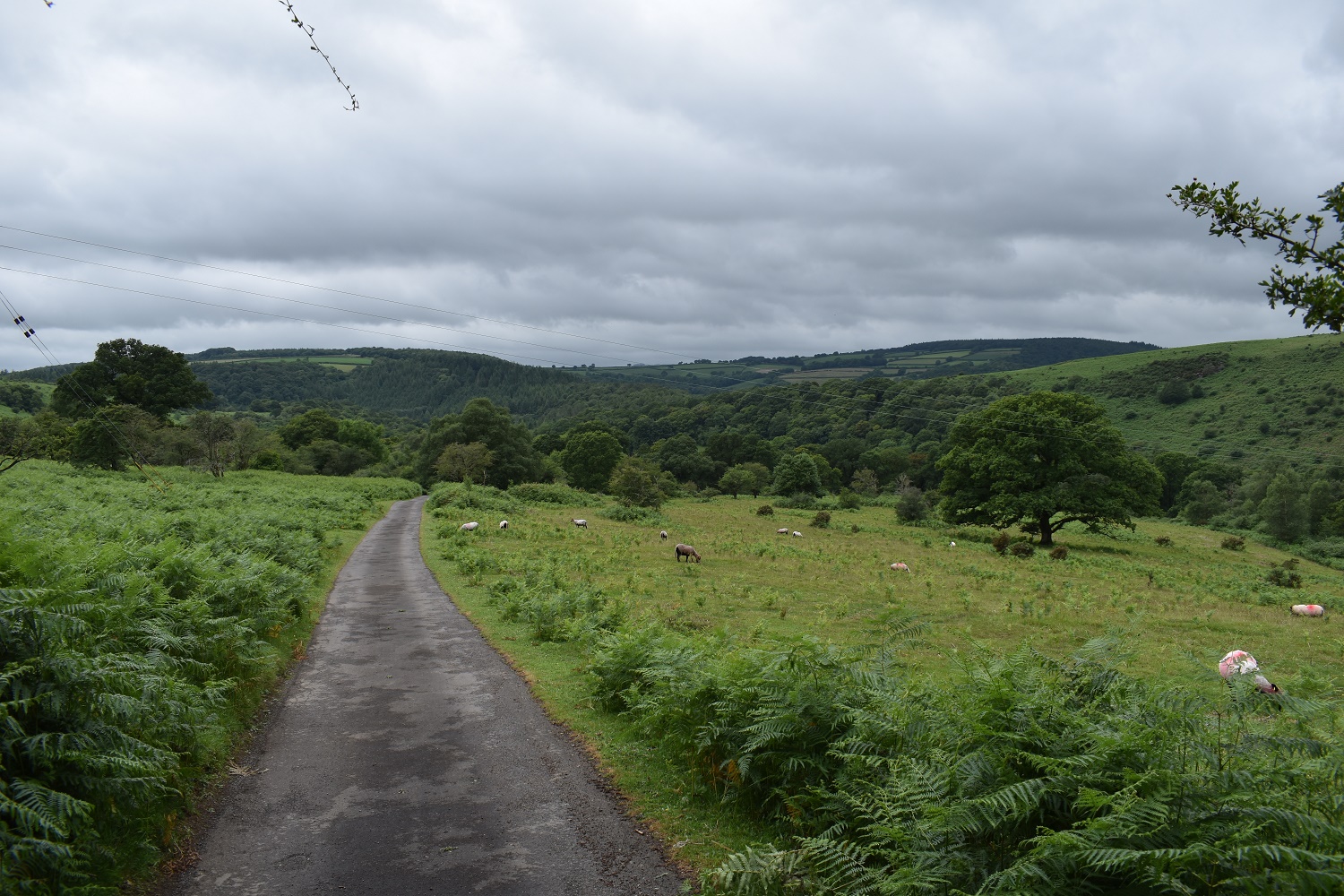
Day 2 (Day 1 is here) and after a few pints in the Castle Inn at Lydford and a decent nights sleep I was ready. Breakfast downstairs was the full English variety and by 10am I was on my way. Today was a long day, 16 miles, a fair bit on roads so I knew it would be hard on the feet. Still I had time to look inside the Lydford Church before heading off to walk through Lydford Gorge, I figured the gorge was a good plan because it got me off the road and I have National Trust membership, no brainer really. Plus I wanted to stop in the NT cafe at the White Lady end of the gorge. This was the place that I first saw the booklet on the West Devon Way and hatched the plan. The area after the gorge was brilliant, walking across Black Down, the weather improving as I went, with views to Brent Tor and down to Mary Tavy/Tavistock.
I enjoyed the section through all the way to Tavistock, before reality hit. People and cars everywhere after so much time alone, I scooted through Tavistock (I’ve been many times before, if you haven’t its well worth a browse). Onwards up the lane to West Down and again a fabulous section down to Doublewaters, at this point I was on mile 14 and the plod uphill out of Doublewaters nearly finished me off. I knew though that Yelverton isn’t far. A chinese and a few pints in The Rock pub and I was ready for bed again
| Start – Lydford |
| Route – Lydford Castle and Church – Lydford Gorge – Black Down – Mary Tavy – Mary Tavy Church – Harford Bridge – Tavistock – West Down – Double Waters – Virtuous Lady Crags – Buck Tor – Roborough Down – Yelverton – The Rosemont B&B |
| Distance – 16 miles Start time – 10am Time taken – 7.5hrs Highest Point – Black Down 270metres |
| Weather – Drizzle in Lydford Gorge then it stopped, cloudy all day after that |

© Crown copyright 2017 Ordnance Survey FL 2017 SF

© Crown copyright 2017 Ordnance Survey FL 2017 SF
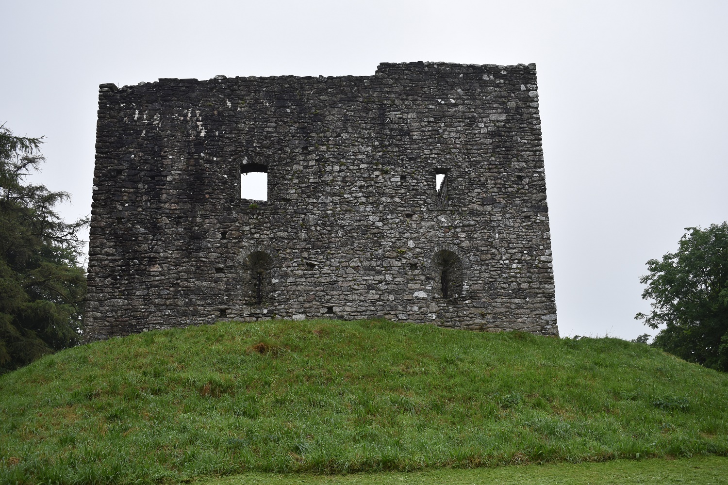
Starting out past Lydford Castle, English Heritage own this, it used to be a court and prison I think

Next door to the castle is the church (13th century??)

Nice inside

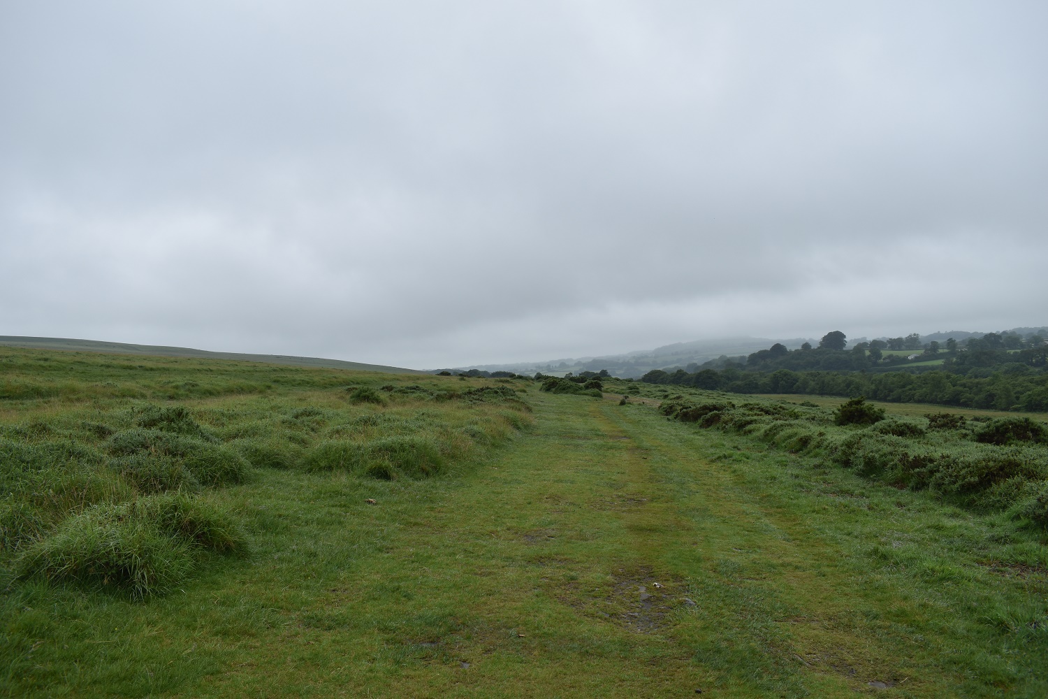
Now on the National Trust path through Lydford Gorge, if you aren’t a member you need to pay to come through here, or use the road route around

Lydford Gorge looking like a scene from Jurassic Park!!

Onto Black Down and the rain has stopped
Cloud lifting a bit, Gibbet Hill is up on the left hand side

Cloud is nearly off Brent Tor now as well

Looking back towards Lydford

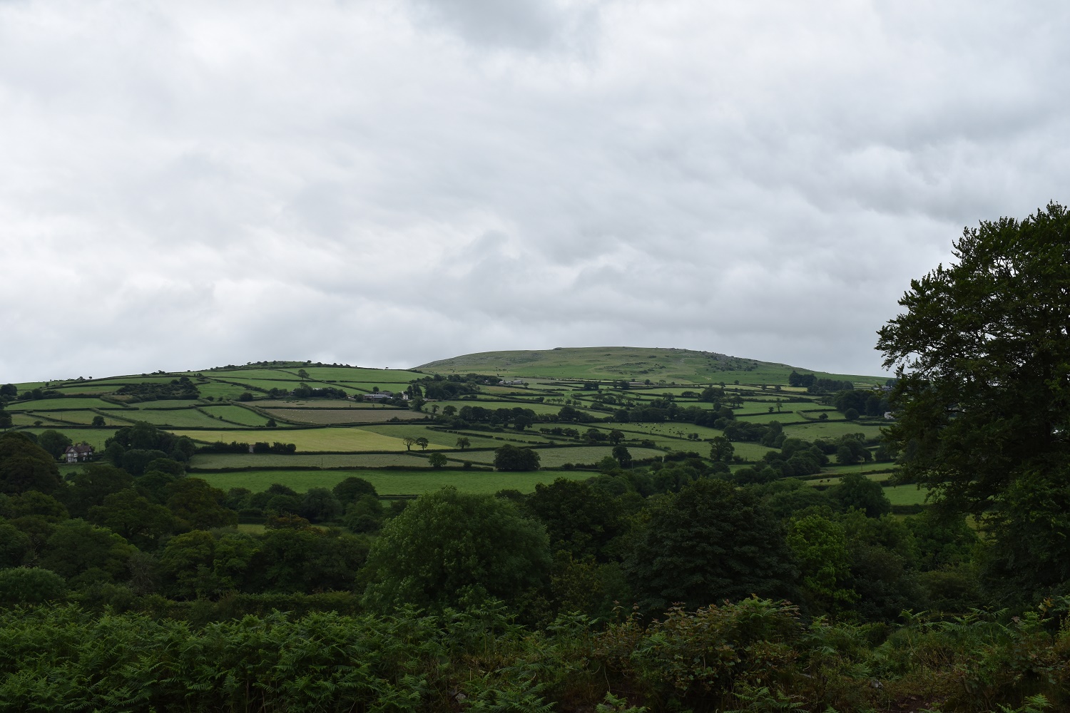
Nice views down to Tavistock
As I leave Black Down I take one last look back to Brent Tor and its church on top. This point is also one of the Dartmoor 365 squares

The valley down to Tavistock, I’m heading left along the road into Mary Tavy

Mary Tavy church

Its not long before you climb out of Mary Tavy and into farmers fields, down there is the Hydro electric plant in Mary Tavy

The improving views mean that Dartmoor opens up to the east, Boulters Tor on the left and Cox Tor to the right (keep Cox Tor in mind as there’s a photo later showing how far I walked)
Lots of fields, far back left is Hare Tor just clearing the cloud, standing at over 500 metres asl
Cox Tor and Sharp Tor to the left

Now at Harford Bridge and a fair bit of road walking now to Tavistock

After a bit of a climb I get this great view back up the western side of Dartmoor. Gibbet Hill is far left, the really dark bit at the back is the area around Hare Tor

These all came running up to greet me, good job there’s a fence between me and them!!

The winding track around this part, used only by farmers is a delight to walk with great views in all directions. This is north west, looking to Brent Tor on the left and Gibbet Hill right

Pew Tor, Sharpitor and Peek Hill in view to the east

Now into Tavistock with the River Tavy accompanying me on my way through

Tavistock
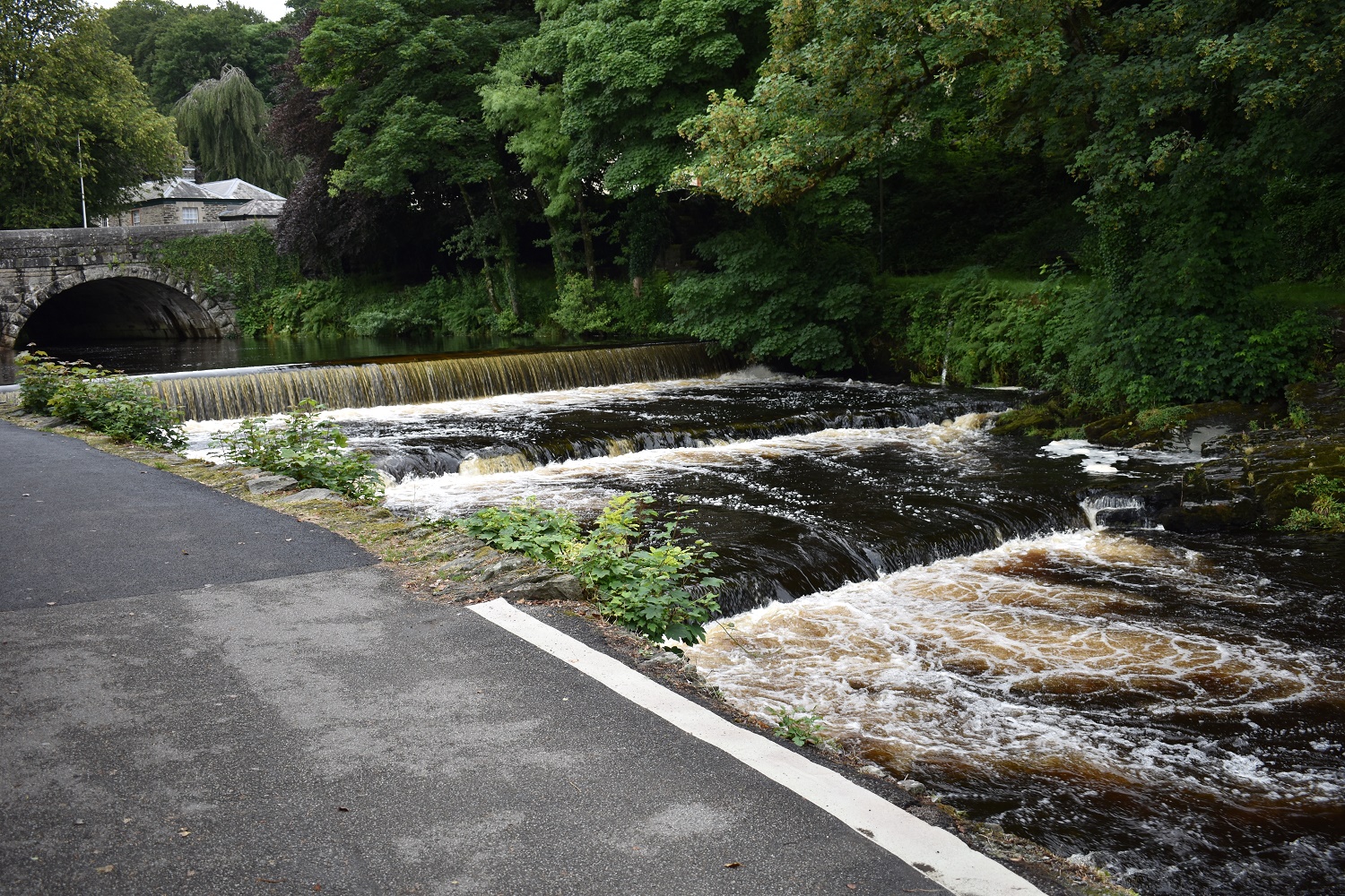
The weir in Tavistock

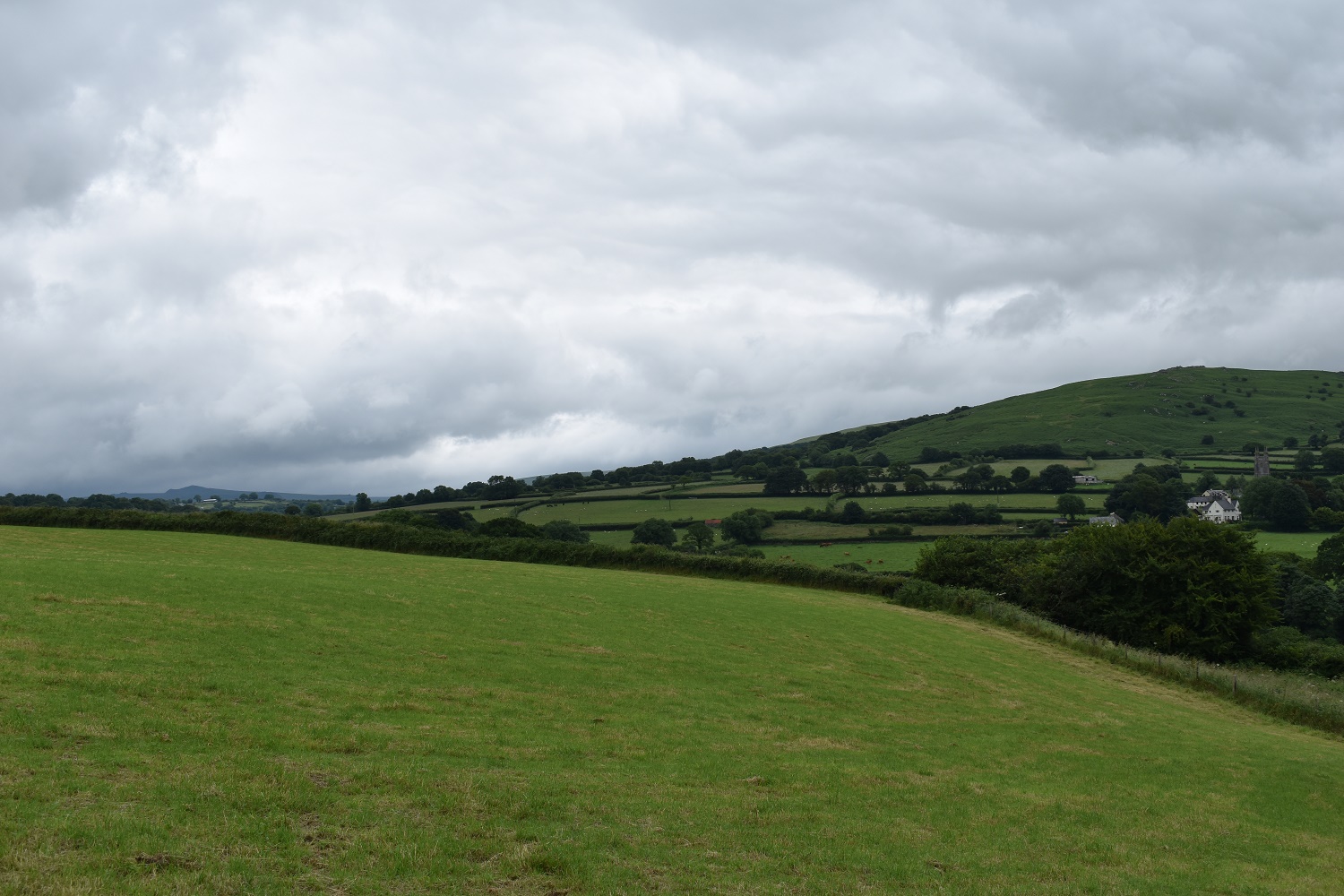
The walk up to here was pretty long, hard on the feet and dull. However getting to West Down was a good milestone with great views down to Doublewaters (in the trees)
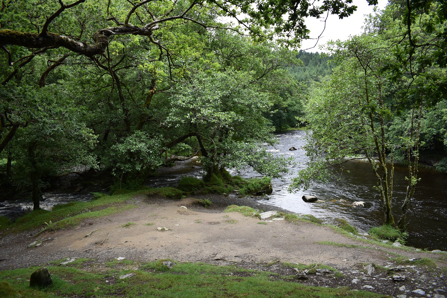
Doublewaters, the River Walkham from the left and River Tavy from the right, going forwards this is just then the River Tavy
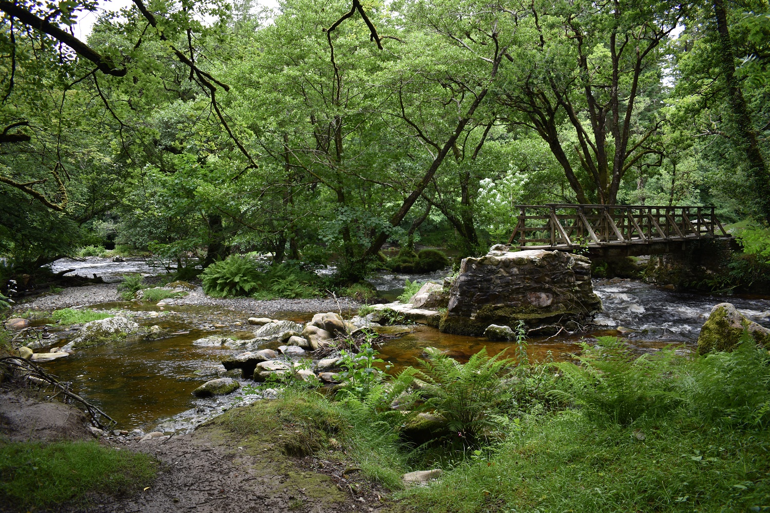
The bridge over the Walkham which seems to be a few metres too short!! Rock hopping needed
After the long road walk up to West Down I then faced a harder road walk up from Doublewaters, here I look back the way I’ve come, at this point I need the finish. Luckily its only a couple of miles of flat walking

I stand here for about 5 minutes realising that I’m looking at Cox Tor (above the stone). How far away is that now!! Gibbet Hill far left looks a long way off as well. I was at Gibbet Hill 6 or so hours ago!!

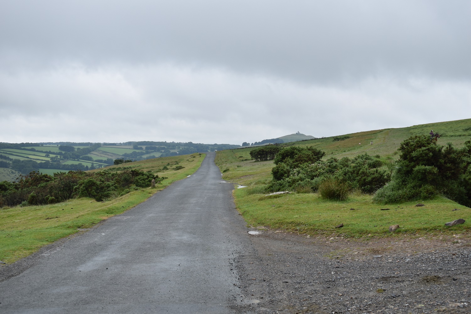
Looks like rain is approaching over Dartmoor, I pick up the pace on the way into Yelverton

Last road junction and its a grassy walk across Roborough Down

Bit of zoom with Cox Tor left, the Staple Tors middle and Great Mis Tor disappearing under cloud to the right


Wow you’ve really pushed on! Did you book your B&B’s as and when or in advanced?
LikeLiked by 1 person
Yes I booked in advance all the B&Bs. I knew roughly that I could do the distance each day. I planned shorter days after a long one. It helps to compartmentalise each day into sections. You can then concentrate just on one day getting from A to B and split that day into sections, which usually revolve around where to stop for food!!1 Keep in mind places to stock up with supplies. Also if you know you will be at a certain place on a certain day you can post supplies to yourself to be delivered there that day.
LikeLike