Probably one of the most recognisable hills on Dartmoor due to its proximity to the A38. Driving towards South Brent, eastwards, it looms on the left hand side like a scalene triangle (testing your maths now!). At its summit lies the remains of an Iron Age hill fort from around 500 BC, this was used for a while and this hill and fort would have been part of the warning system (beacons) for invasions, such as the Spanish Armada. Its a tricky hill to get up as well, with a large amount of farming land around it there’s only a few ways up that I know of, two tracks leading to the summit from the road to the north west side of Brent Hill, with one permissive path to the south (which I tend to use in decent back to South Brent where I park). With its location, set slightly away from the real Dartmoor, the views are great in all directions, particularly with South Hams set below you stretching out to the south coast. There are obviously no military ranges around this hill.
Height – 311 metres OS Grid Reference – SX703617 Mark out of 10 – 7.5

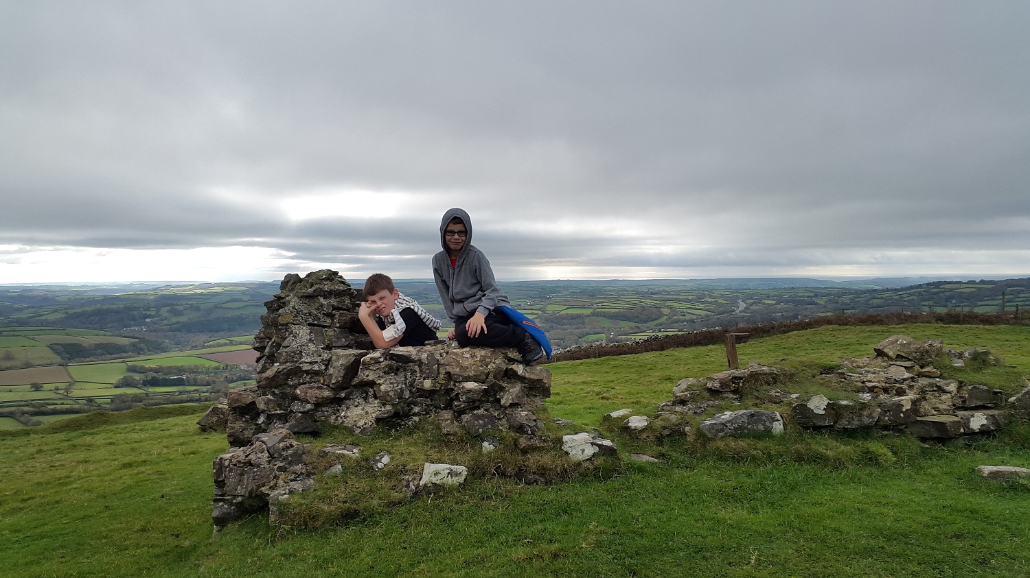
The boys on the remains of the fort at the top of Brent Hill

Hill fort remains and South Hams stretching away

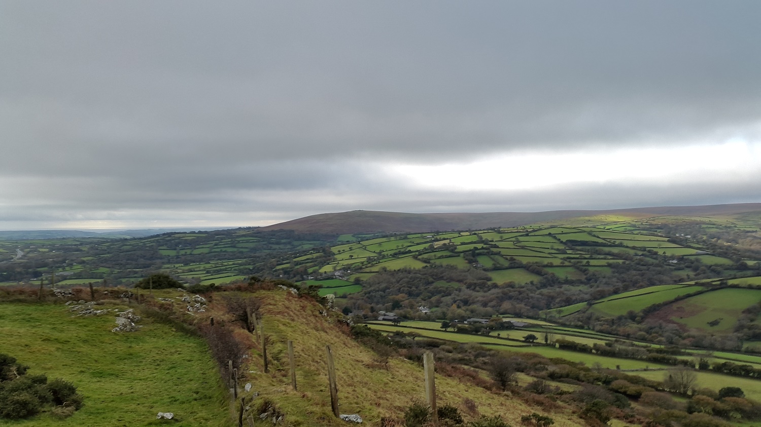
Summit trig point looking into Dartmoor around Eastern White Barrow and Grippers Hill
Ugborough Beacon over there would have been the preceding warning point for invasion
