This outcrop is a long way east on my tour of Dartmoor’s tors. Its a very easy rock to get up to, once you have found your way down the narrow lanes to this spot. The way up is from the roadside parking to the south of the rock, the permissive path is 100 yards to the top and you will be up and down in 10 minutes. The summit is a bit of a scramble but its easy on a dry day and you will notice the summit rock is split in two, the Devil’s Gully separates the granite on this one. The best views are to the east across the fields towards Exeter, however you can get views back to Dartmoor and also to nearby Blackingstone Rock. This rock sits kind of on its own, however you could link this one with Blackingstone and Hingston Rocks with a bit of invention. No military areas this far east.
Height – 302 metres OS Grid Reference – SX799870 Mark out of 10 – 7

The permissive path to Heltor Rock
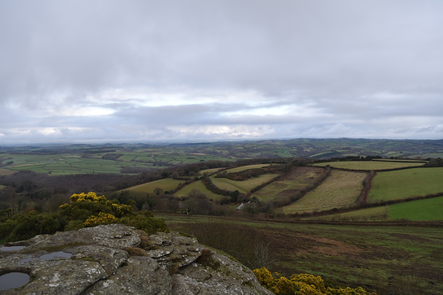
Fields and fields to the east of Heltor Rock
The silhouetted thimble shaped Blackingstone Rock from Heltor Rock

Heltor Rock

Linda on Heltor Rock
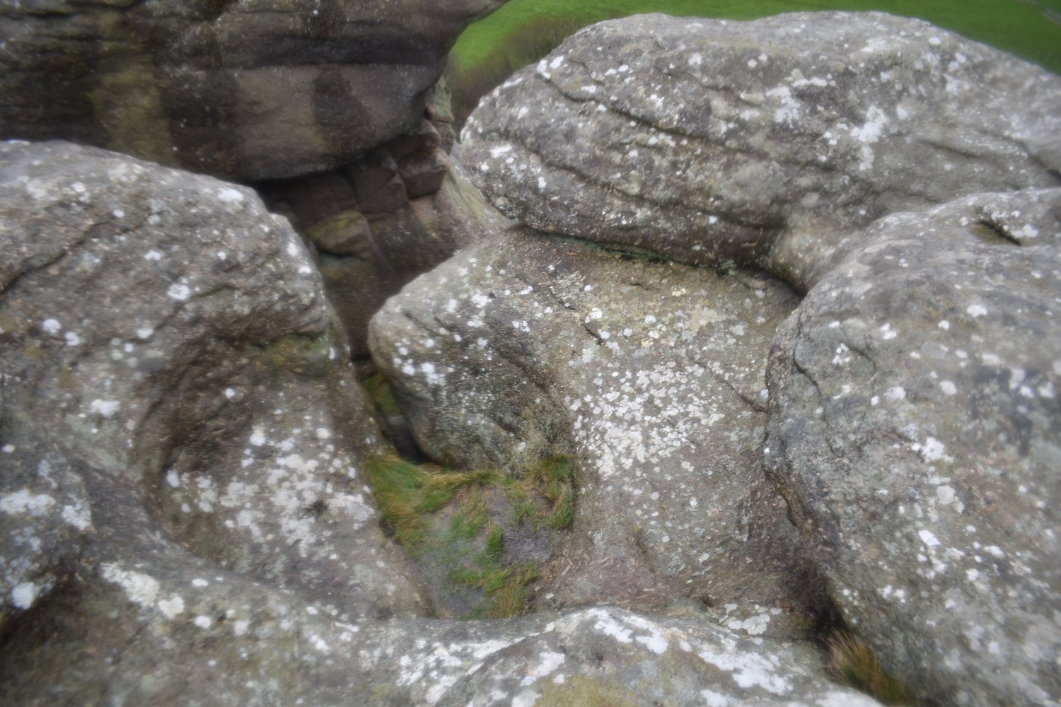
Large rock basin on Heltor Rock, you can see were the water has worn away the rock and worked a way out the side
