The outcrop sits a hundred metres to the west of Great Rock and runs north to south across a logging path which splits it in half. The tor itself starts to the north of the path with some large rocks scattered around a small area before dropping down the hill with one large rock with a balanced rock on top sitting near the logging path. The outcrop then continues below the path with the outcrop forming a wall like structure as it tumbles down the hill. There are very little views from this tor as it sits within a woodland, mainly made up of non native trees. There are no military ranges near here.
Height – 196 metres OS Grid Reference – SX820818 Mark out of 10 – 4

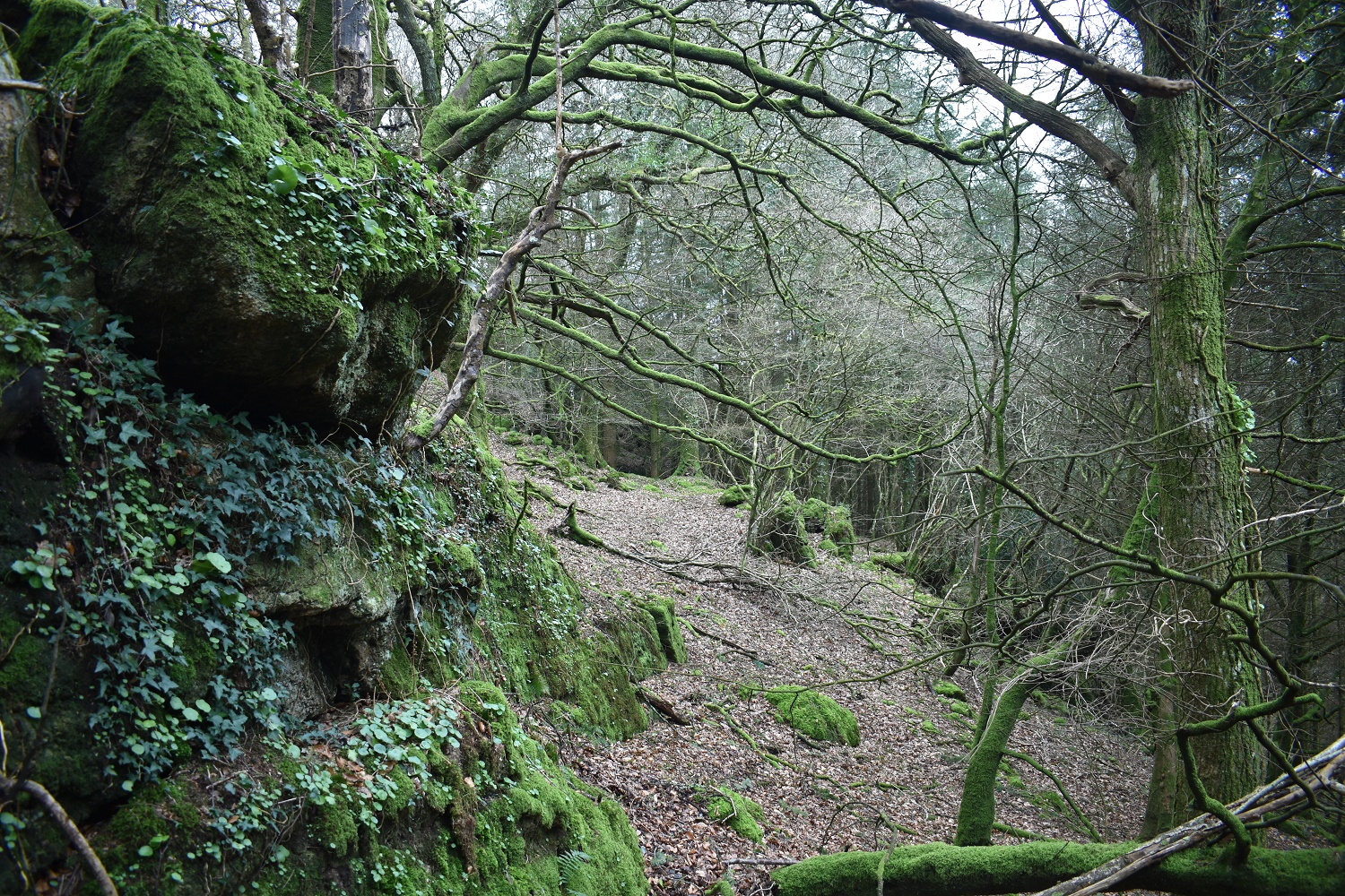
The lower part of Easterndown Copse Tor

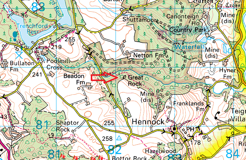
The logging path in between the lower and upper parts. What looks like the old water pipe, which has now been dug up on the right
More outcrops on the higher part of the tor

The balanced rock on the upper side of the path
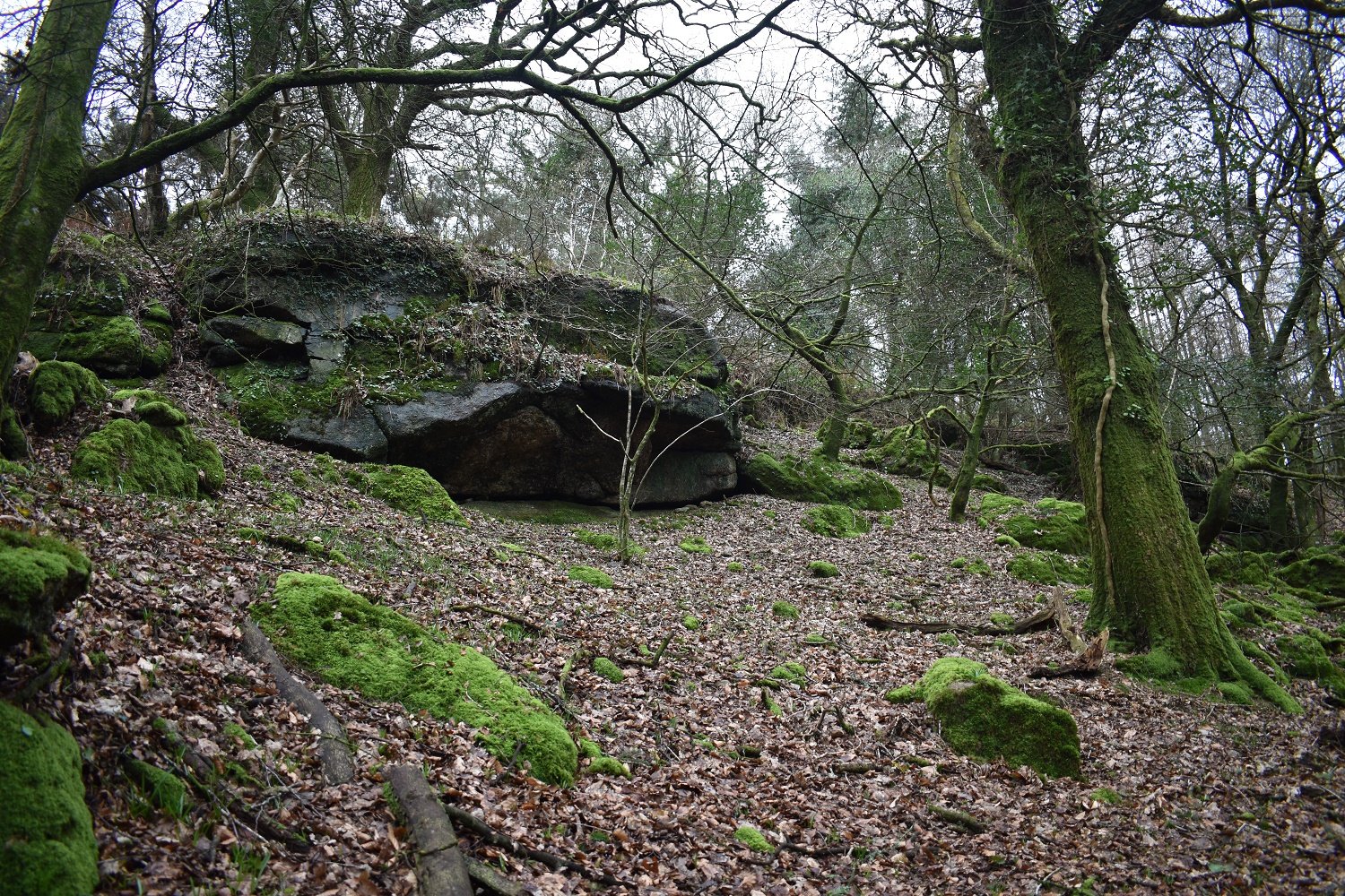
Outcrops on the upper side

The path and outcrops beside
