I’d been planning this walk for a while, I’d neglected the eastern fells, picking at the Mell Fells or Arnison Crag on one off walks that didn’t really do the area justice. The plan was to walk the Helvellyn ridge, Clough Head to Seat Sandal 10 fells in a line (11 if you venture off to Hartside as well). I’d only done Helvellyn of this lot so I was looking at a good “bagging day”. Its a long walk, with a steep ascent at the beginning so I knew an early start was needed, I also knew that walking solo meant that it would be beneficial if I looked at a bus to get me from one end of the walk back to the car. The plan was to park at Legburthwaite and walk through St John’s in the Vale, up to Clough Head, along the Dodds (maybe Hartside) up to Raise and White Side, across to Helvellyn, Nethermost and Dollywaggon, then possibly Seat Sandal, grabbing the 4.30pm bus back north. Well my timing was sort of ok, I was about 30mins behind as the walk up to Clough Head took longer and by the time I got to Stybarrow at exactly midday I was happy. However I was absolutely knackered, I was walking into a stiff headwind, all the time, plus rain was due around 5pm which meant low cloud. I was also looking at the map and not wanting to miss Hartside, as it would leave an awkward fell away from others on my list of Wainwrights. The plan evolved into dropping off Stybarrow to pick up Hartside, have lunch, back to Raise and White Side. Then down the path to somewhere around Fisher Place and a short roadside walk to the car. The plan worked and I was back at the car before 4pm, and before the rain, meaning I have completed 7 Wainwrights here taking me to 96 out of 214
| Start – Legburthwaite roadside |
| Route – St John’s in the Vale – Fisher Wife’s Rake – Clough Head – Calfhow Pike – Great Dodd – Watson’s Dodd – Stybarrow Dodd – Hartside – Sticks Pass – Raise – White Side – Brown Crag – Fisher Place – Roadside Legburthwaite |
| Distance – 12.5 miles Start time – 8am Time taken – 7 hrs 45mins Highest Point – Raise 883metres |
| Weather – Some blue skies, thin cloud to start, some thicker cloud later one, stiff headwind throughout |
© Crown copyright 2016 Ordnance Survey FL 2016 SF
Starting out, I’m parked back there by the road and heading over the wall to the left. Helvellyn in cloud in the distance, but it will burn off
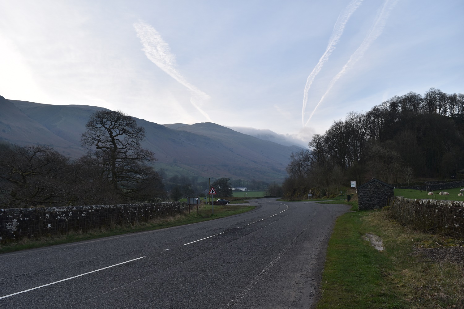
My first fell, Clough Head, has a bit of cloud too. Looks very steep from here. I’m heading around it to the left and then kind of straight up!!
Passing by the lambing shed at Low Bridge End farm

Bit of road walking, Blencathra with a cloud cap
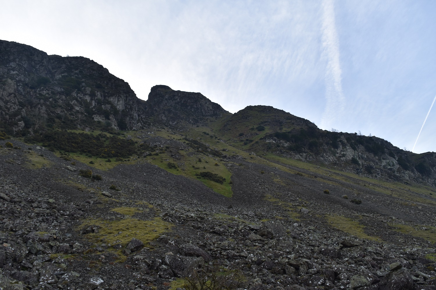
A bit of navigation got me to this point, the grassy slope is Fisher Wife’s Rake. I’m heading for that under the crags up on the left

This fella and his missus weren’t too keen on my presence. Buzzards protecting their eggs or young I assume, plenty of swooping and noise from this one.

Fisher Wife’s Rake with Skiddaw in the distance. This is a very steep route, with steep drops to the right, handrailing the crags helps with navigation to know you’ll reach the rake and its top. But beware there are plenty of times where 3 or 4 points of contact are needed. It was a great route up.
Blencathra still has a cloud cap as I reach the top of the rake
Popping out the top you are left with a 200 metre ascent and half a mile of walking to get to Clough Head. This can be tough considering the effort put in already
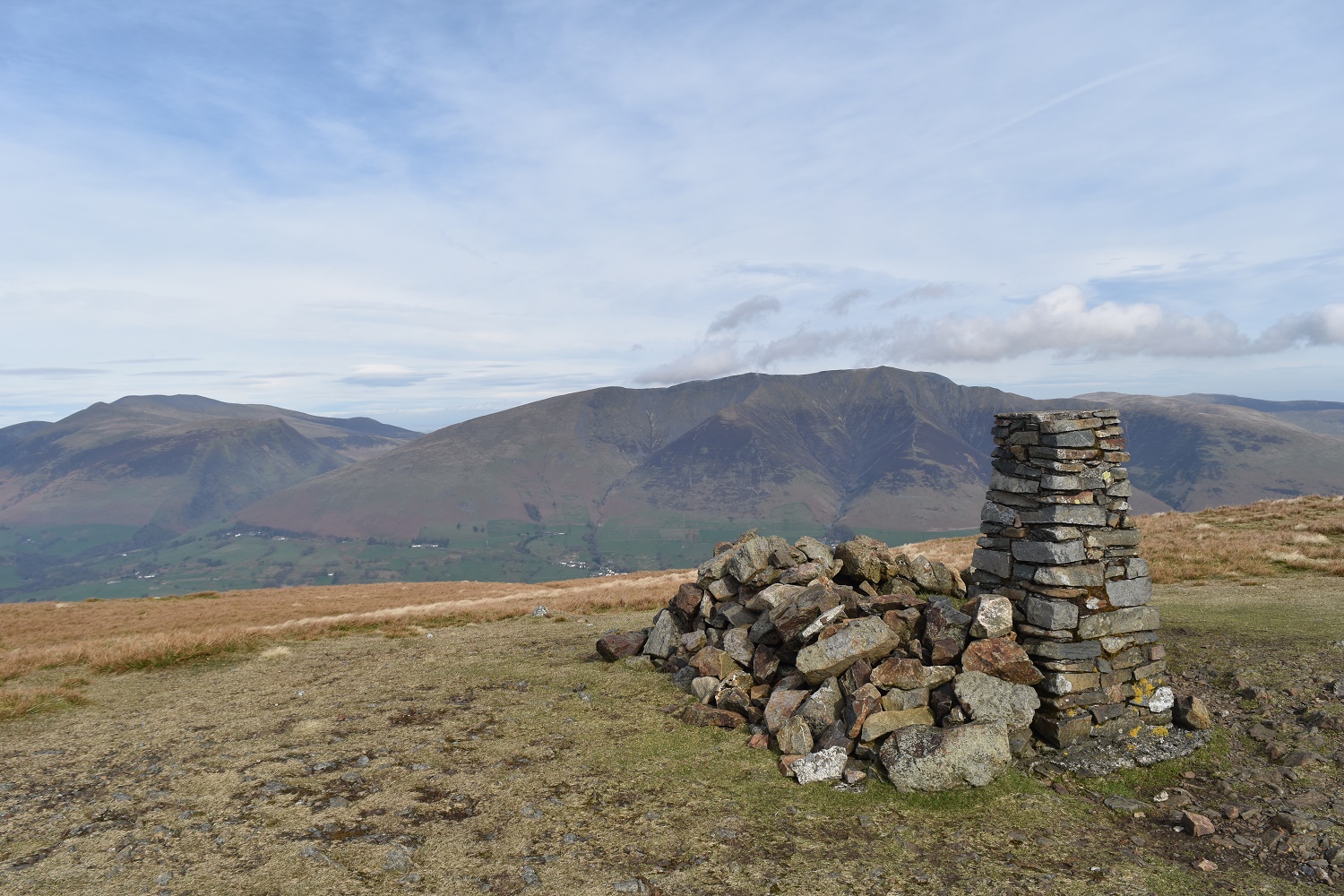
3 miles in and number one summit, Clough Head. They come quicker from this point on. Blencathra right and Skiddaw left behind the trig
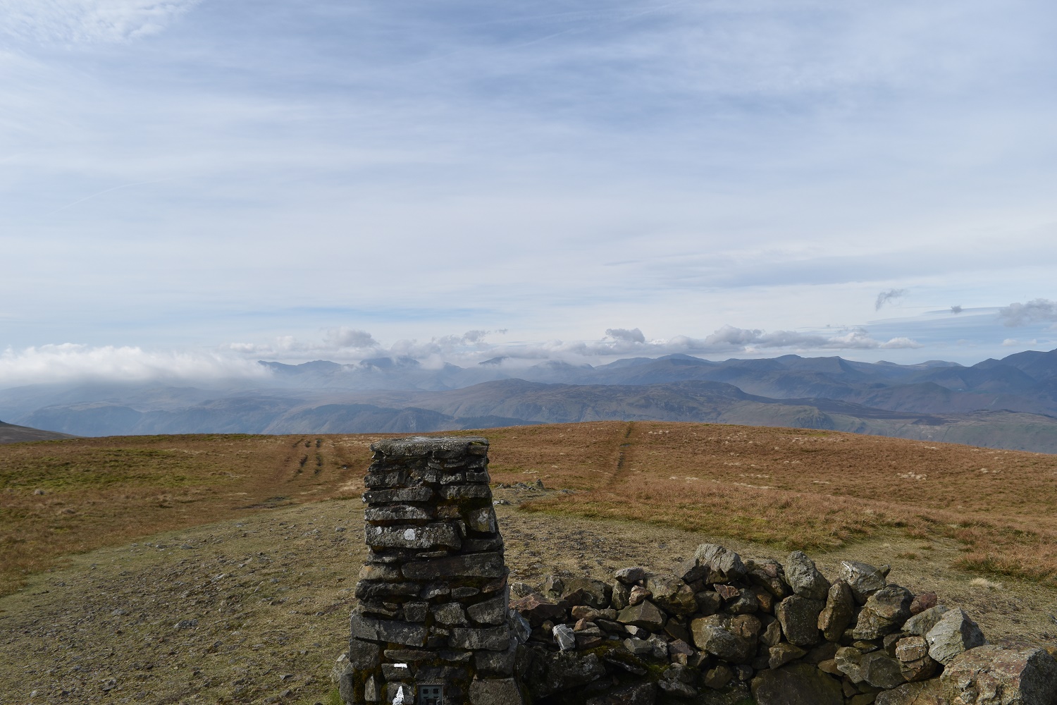
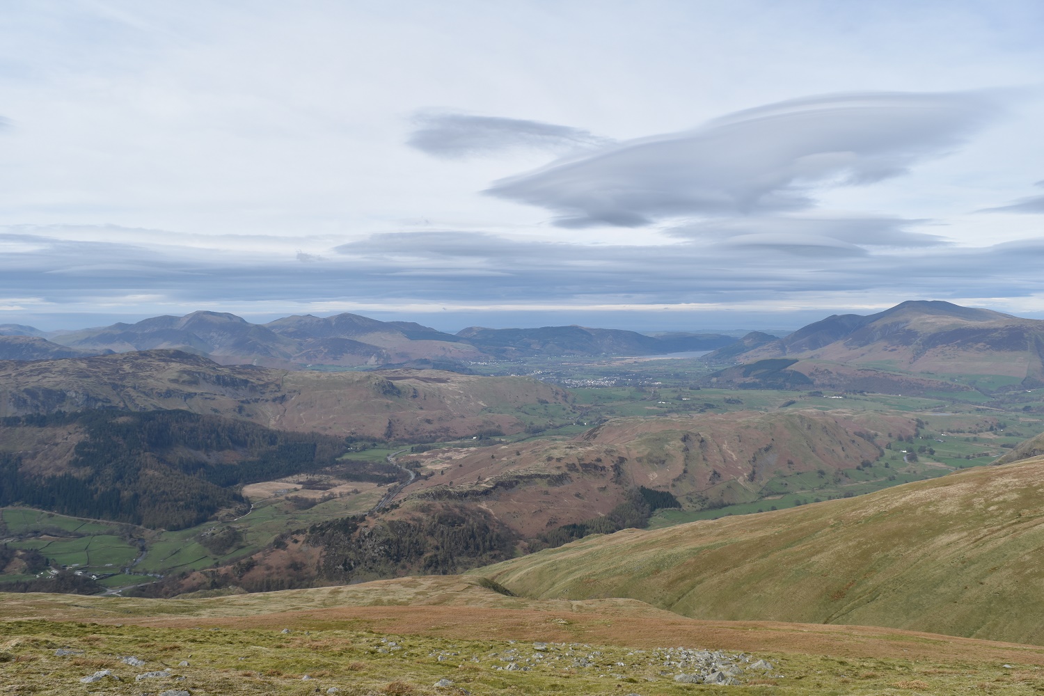
Cloud spills across the higher Lakeland fells to the south and west

Derwent Water from Clough Head, a part of Keswick can also be seen
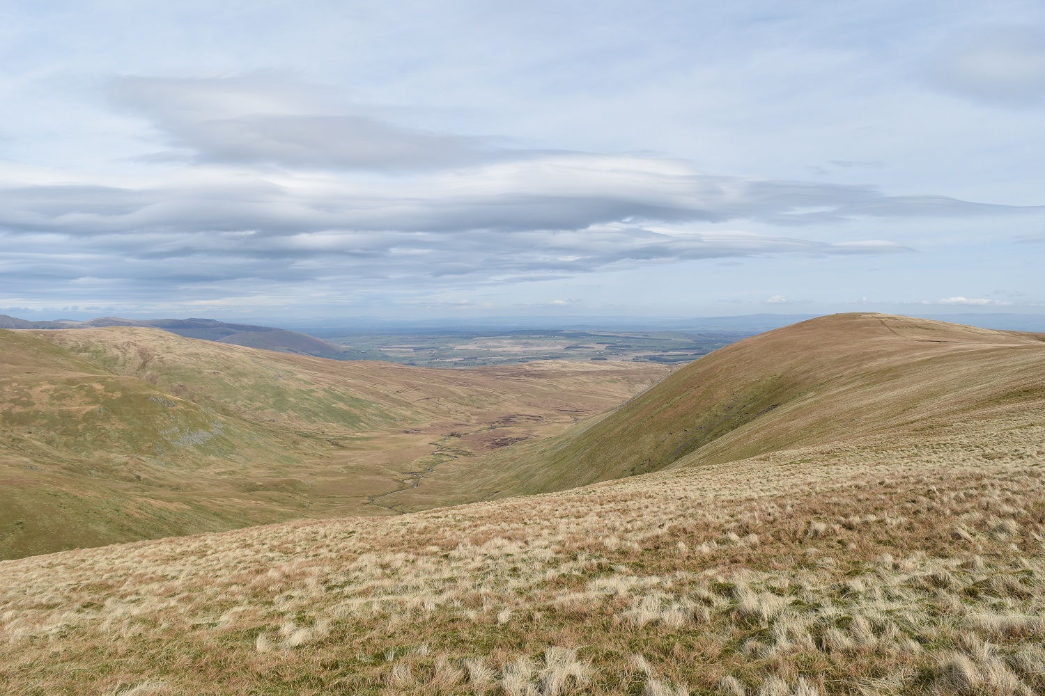
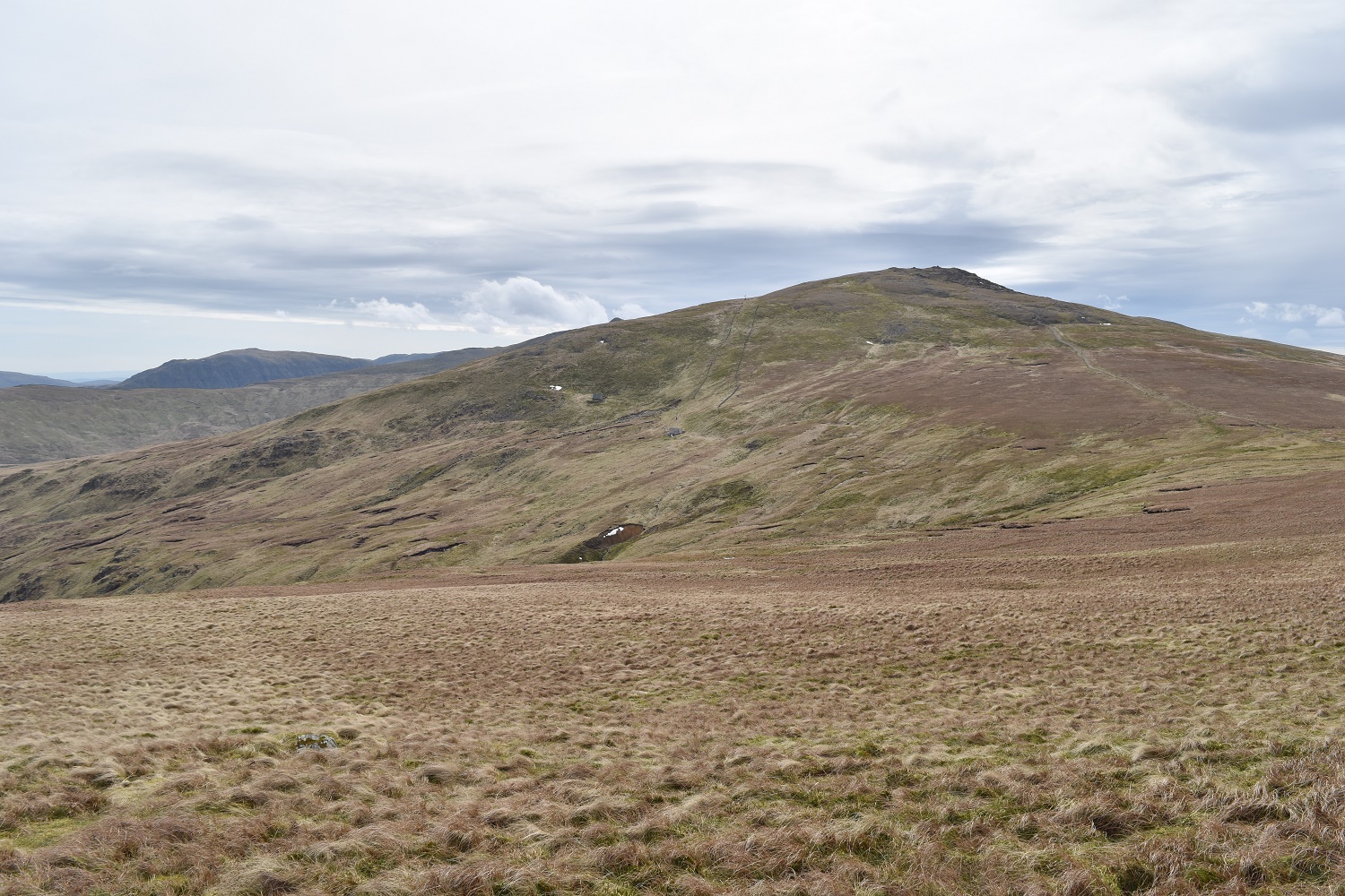
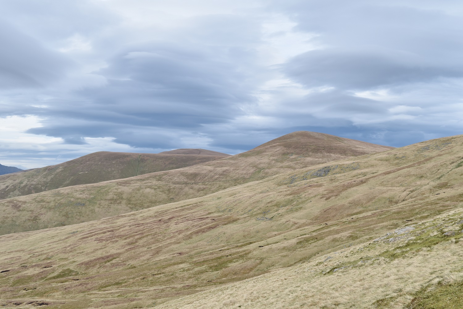
Great Dodd, my next target

On the path up to Great Dodd, Calfhow Pike (a Birkett not a Wainwright) is below, Clough Head off to the right, Skiddaw and Blencathra behind

Great Dodd summit
North western fells to the left and Skiddaw right from Great Dodd

A smidge of snow on the way to Watson’s Dodd with Stybarrow next in line to the left, the distance views along this part are brilliant to the south and west

Snow, in April, Watson’s Dodd just up there on the left
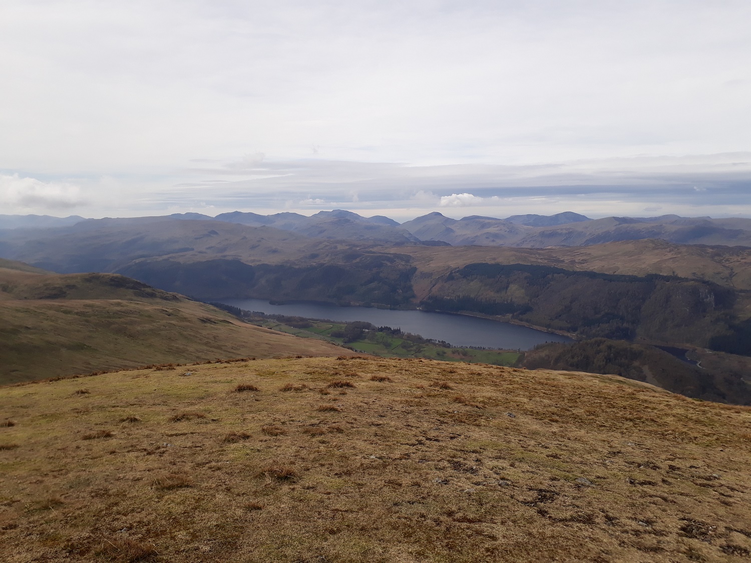
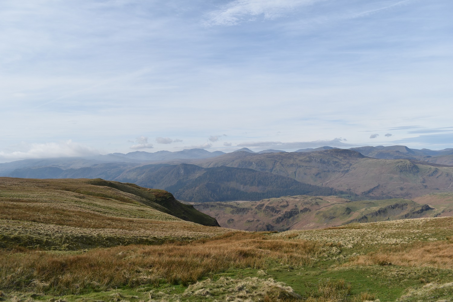
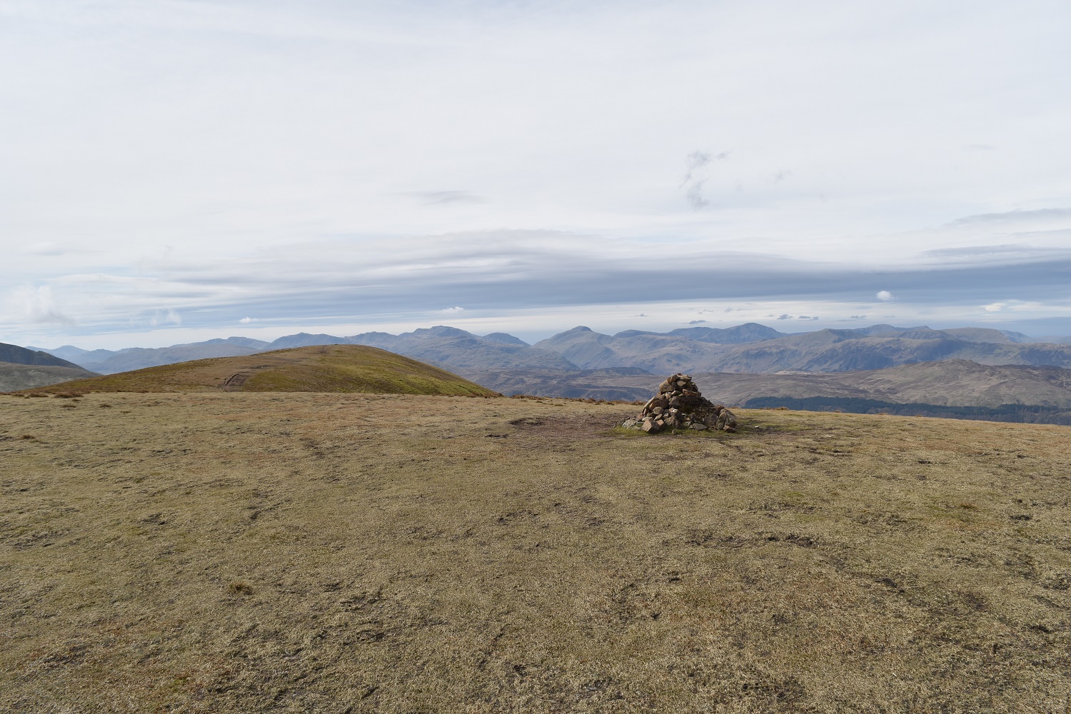
Thirlmere below from Watson’s Dodd. The cloud has cleared from the high fells around Scafell Pike with Crinkle Crags, Bowfell, Esk Pike, Lingmell, Great Gable and the High Stile ridge all in view
Looking north west to Keswick from Watson’s Dodd
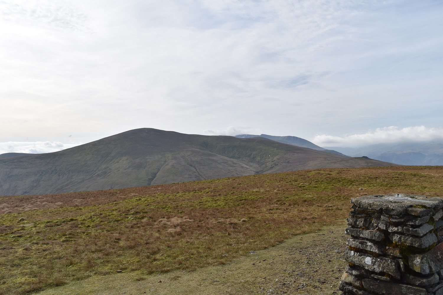
Next up Stybarrow Dodd on the left with the rest of the Helvellyn ridge stretching away from Watson’s Dodd
Stybarrow Dodd summit area, same distance views with the fells lining up

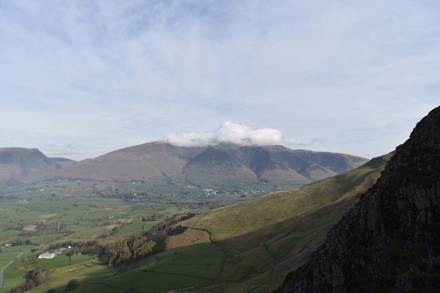
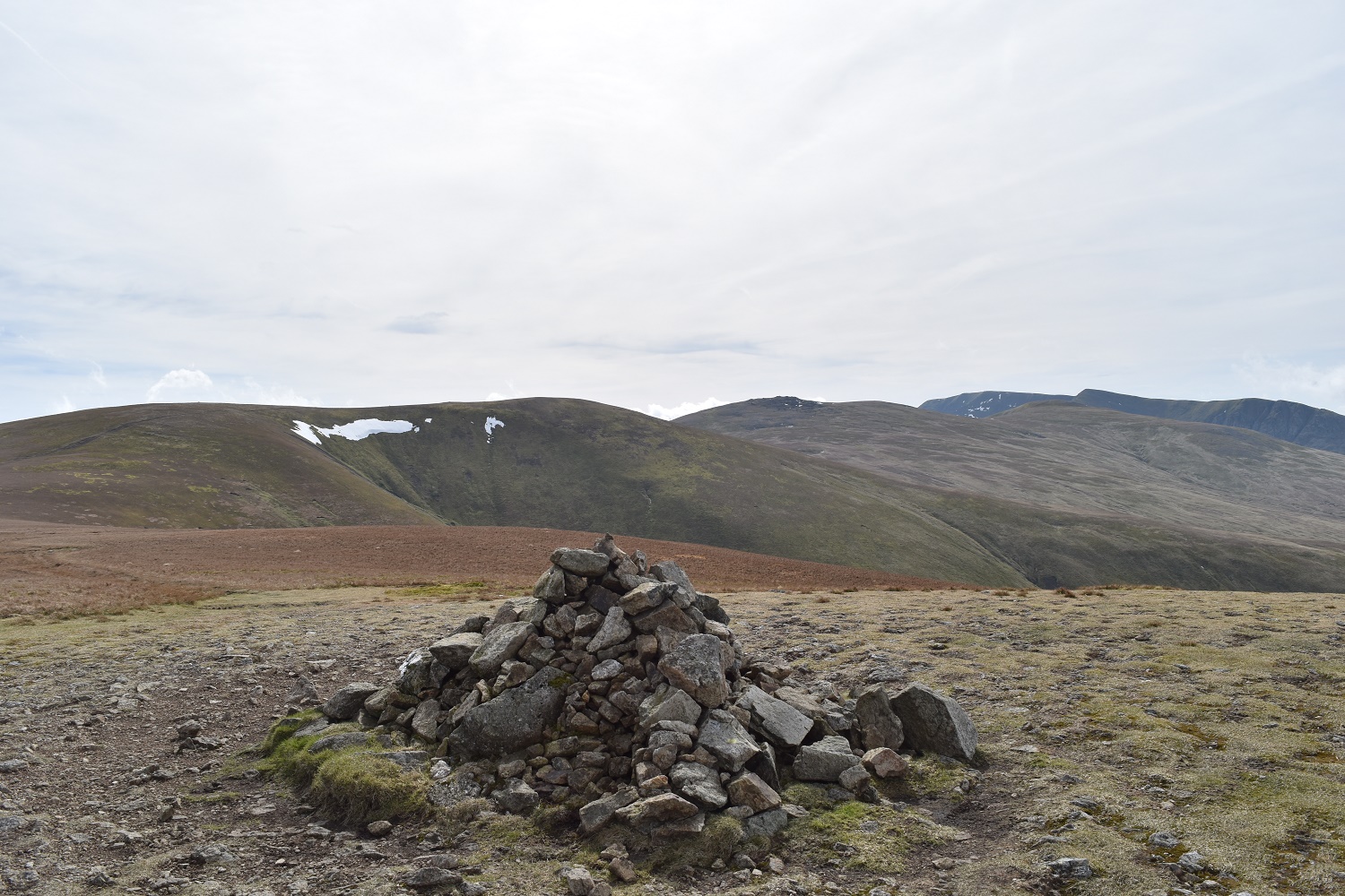
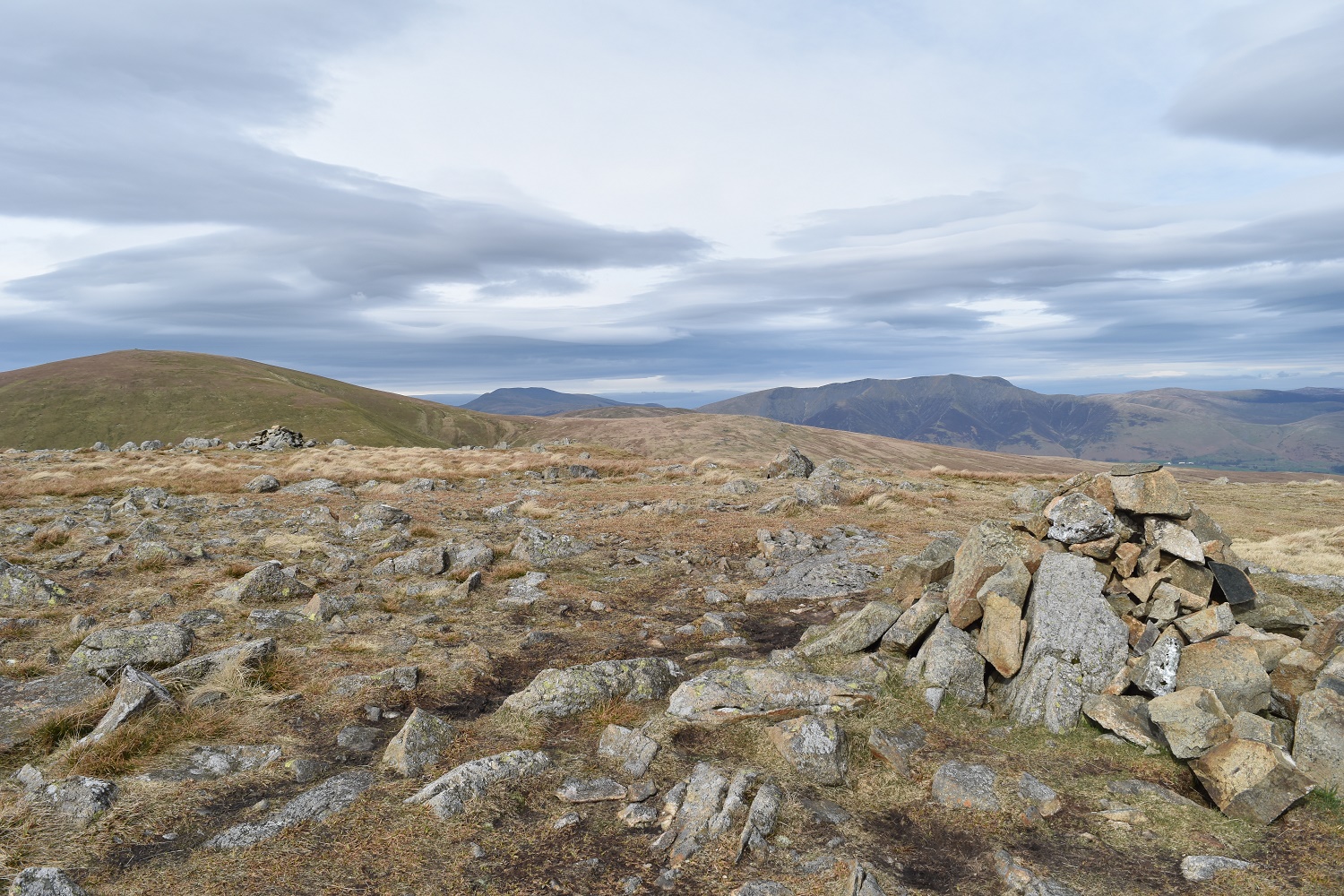
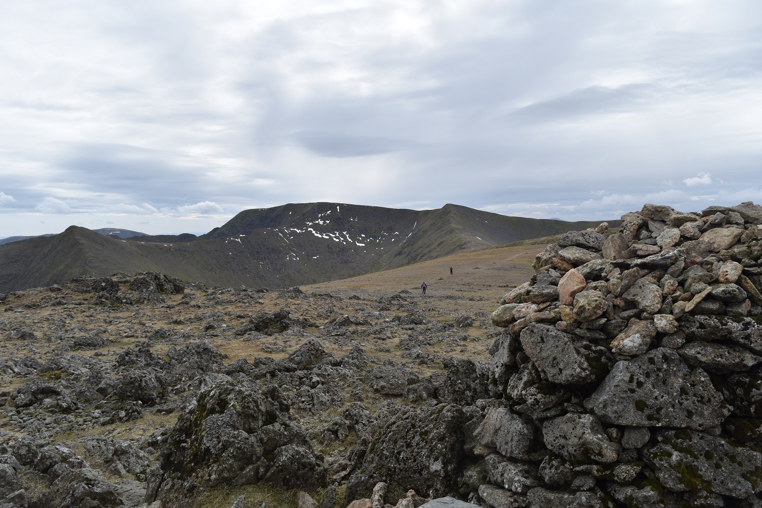
The summit shelter is left of photo, above that is Hartside, its a fair old walk to get there and back which takes around 50 minutes. White Stones is the lump on the right
The fells around Helvellyn from the descent of Stybarrow Dodd
Deepdale left and Hartside right. Whilst this detour was a bit of an annoyance the views down to Deepdale were lovely
Hartside summit, Great Dodd behind
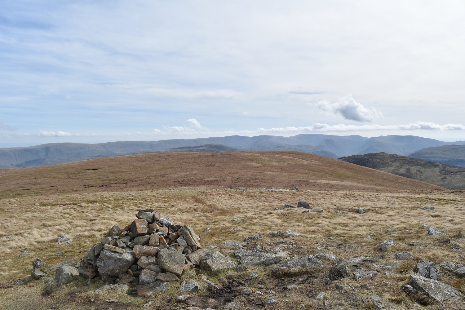
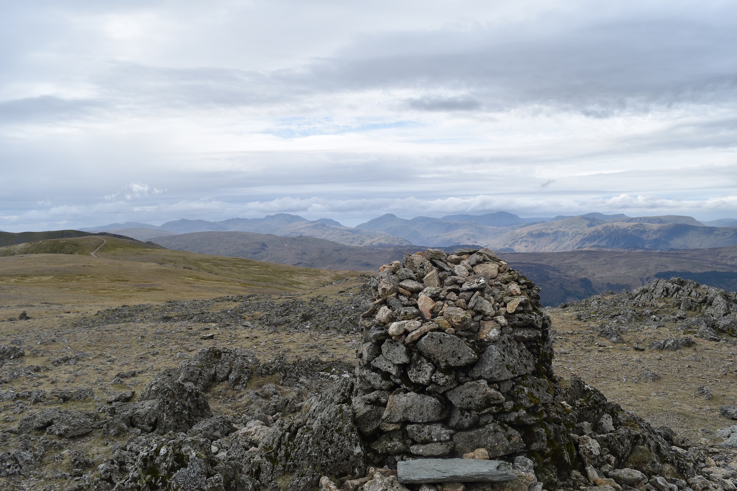
Birkett Fell nearest and the High Street ridge in the distance
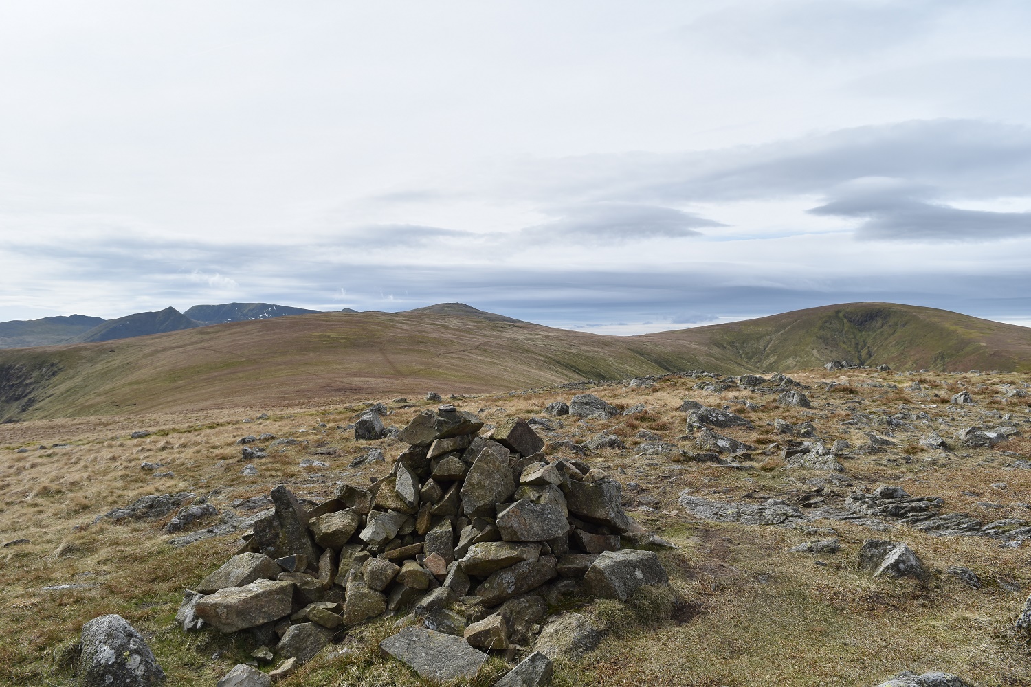
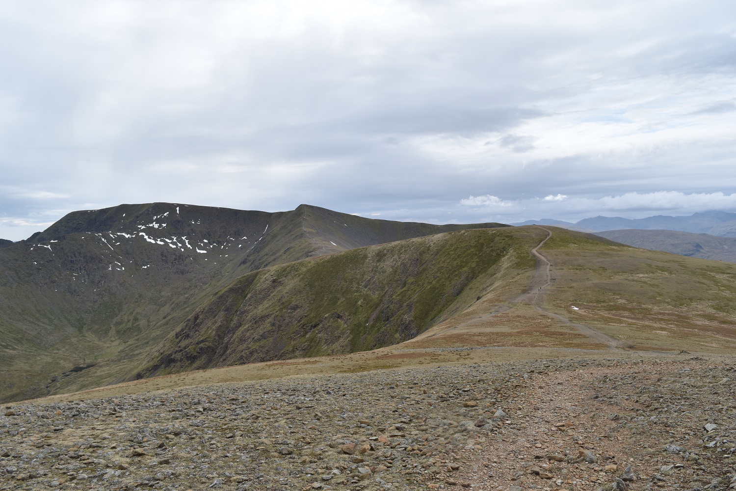
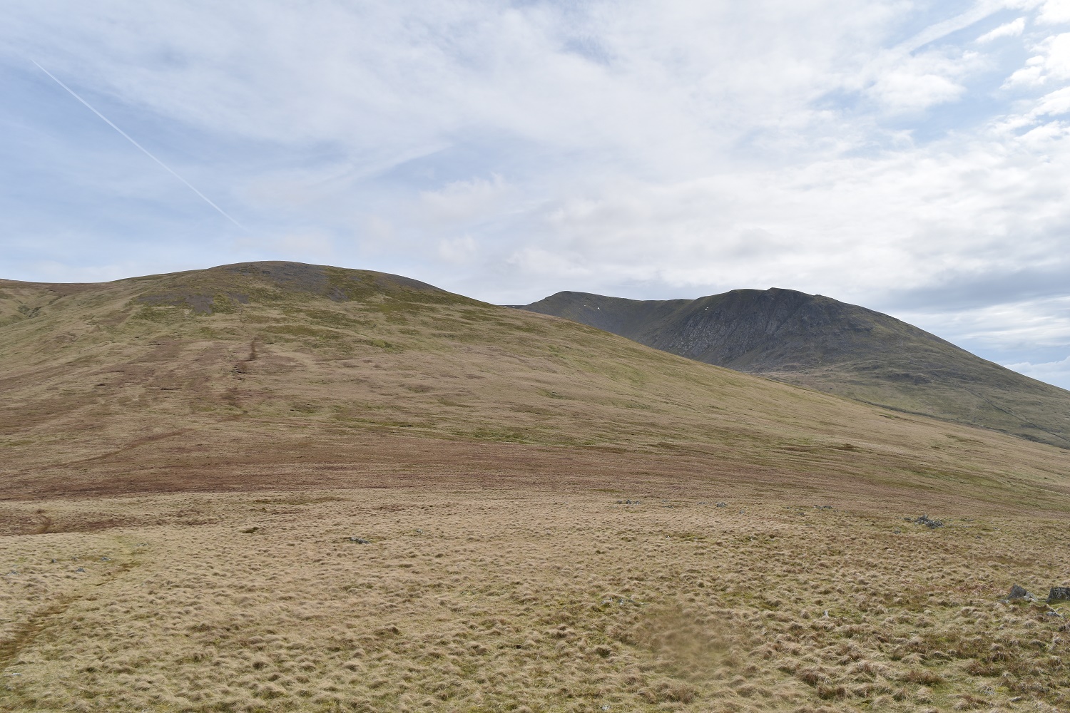
Stybarrow Dodd on the right, White Stones is straight ahead, Raise and Helvellyn behind that
I’ve returned back from Hartside to the col below Stybarrow. Raise is my next target , first I need to reach Sticks Pass
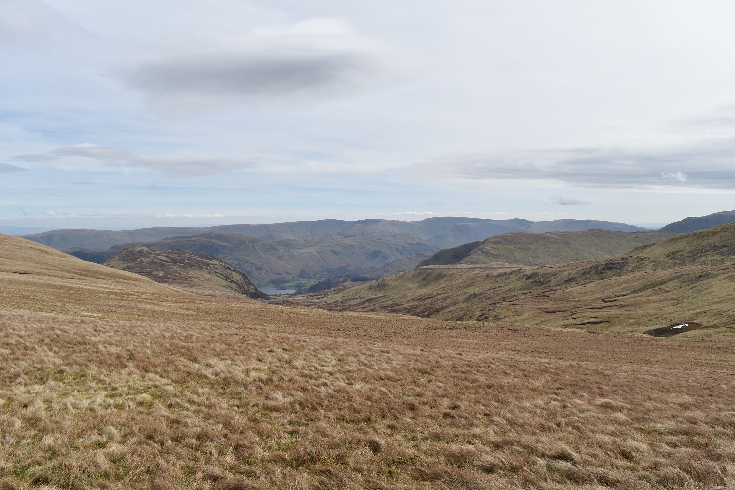
The valley that leads to Glenridding from Sticks Pass, part of Ullswater just in view

Between White Stones left and Sheffield Pike right another view to Ullswater
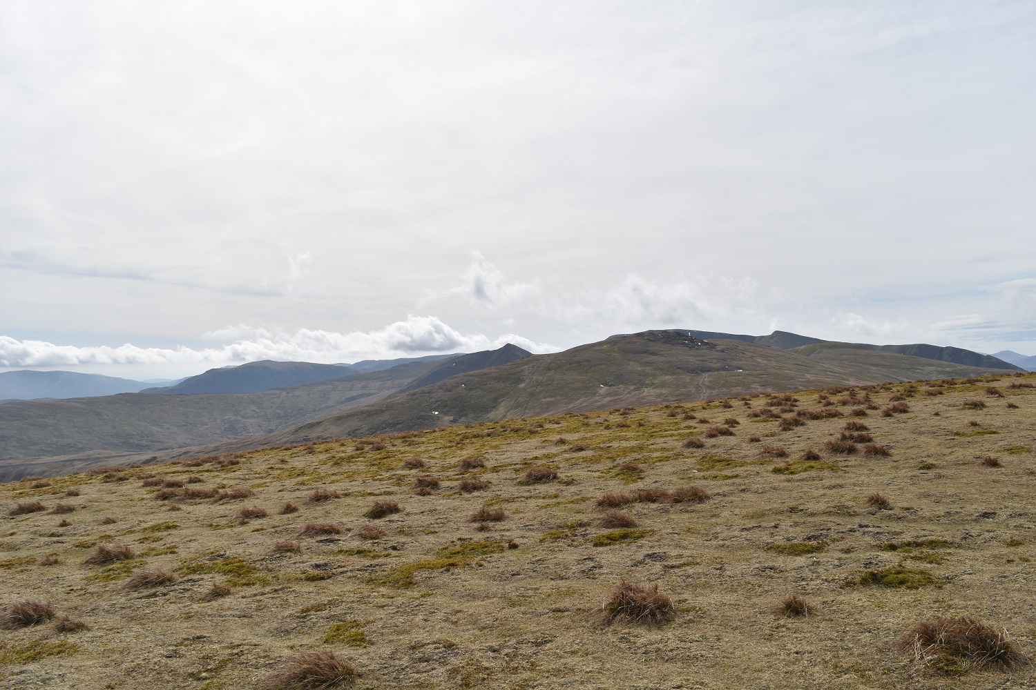
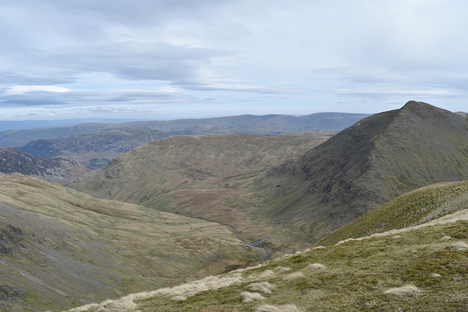
Raise summit looking to the higher fells and White Side to the left, by this point I’d decided to descend from White Side
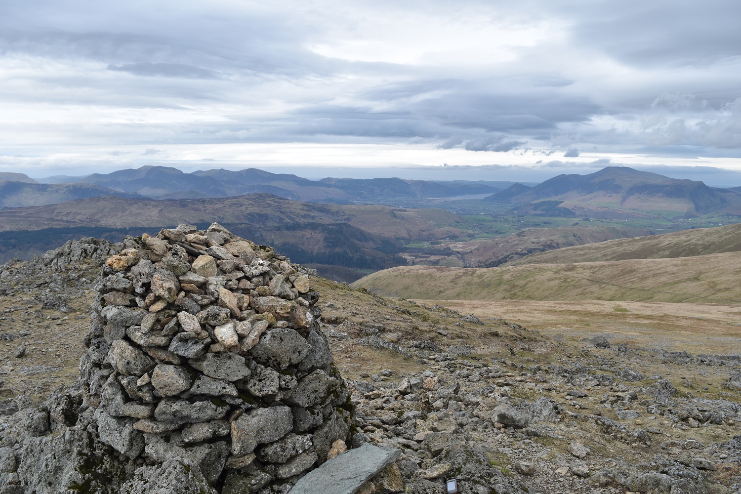
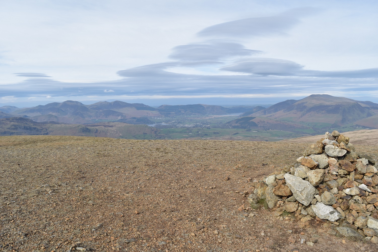
The views north west along this ridge are always awesome. Skiddaw stands proud to the right, Bassenthwaite Lake in view
Bits of snow left on the side of Swirral Edge coming off Helvellyn, looking from Raise

Swirral Edge and the pointy Catstycam, the north ridge looks steep from here heading to the summit
White Side ahead and Helvellyn Lower Man is the pointy fell beyond, Helvellyn itself after that to the left
Great sky looking back to Raise and The Dodds
White Side summit and that view north west again
Keppel Cove below White Side and the north ridge of Catstycam to the right looking very rugged from here

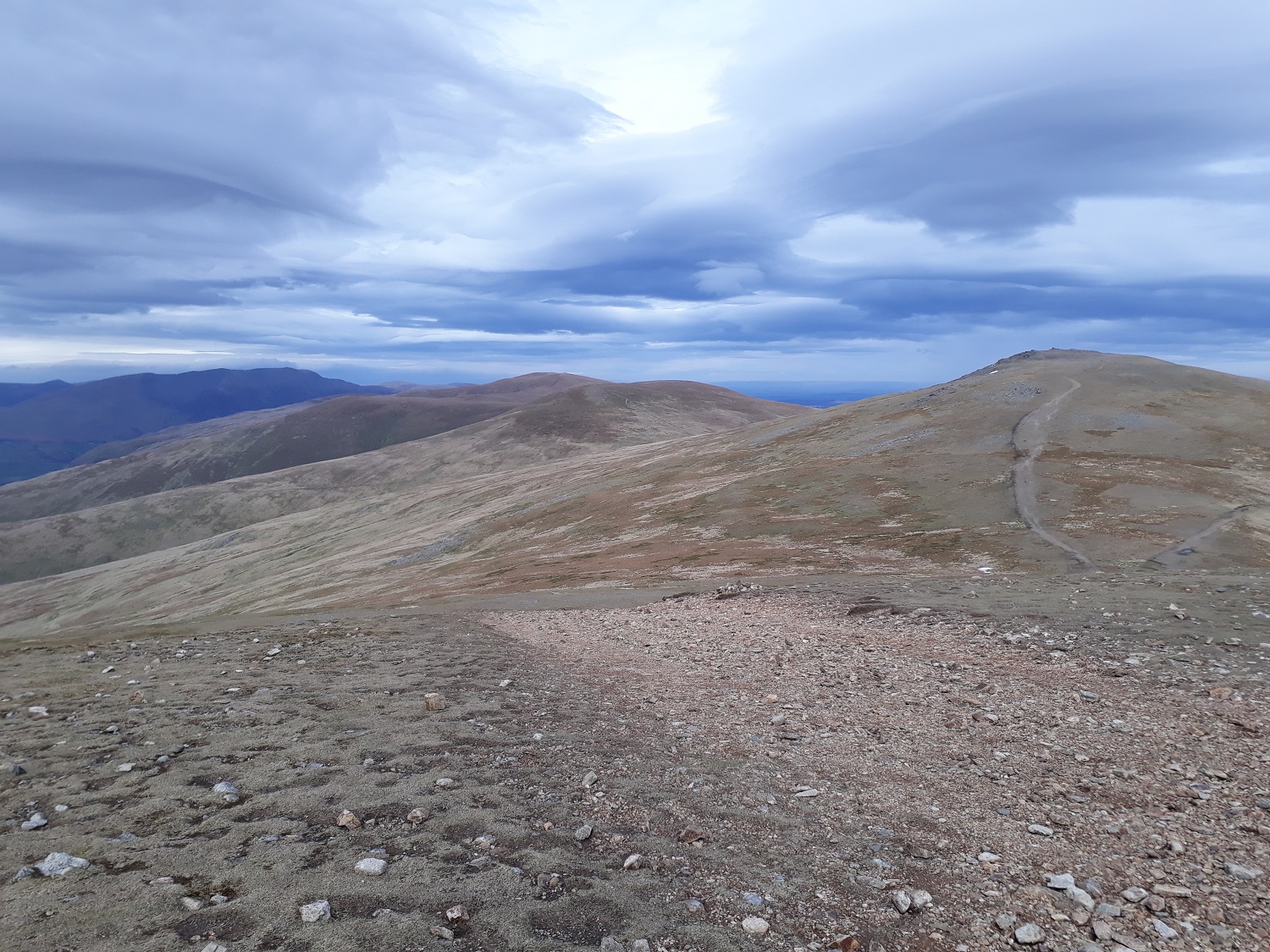
My descent route, the bump ahead is Brown Crag where I head first
The Dodds from my descent, Stybarrow right, Watson’s left and Great Dodd back middle
Looking back up at White Side, with Browncove Crags and Helvellyn Lower Man to the right

Nearly down and the valley floor opens up
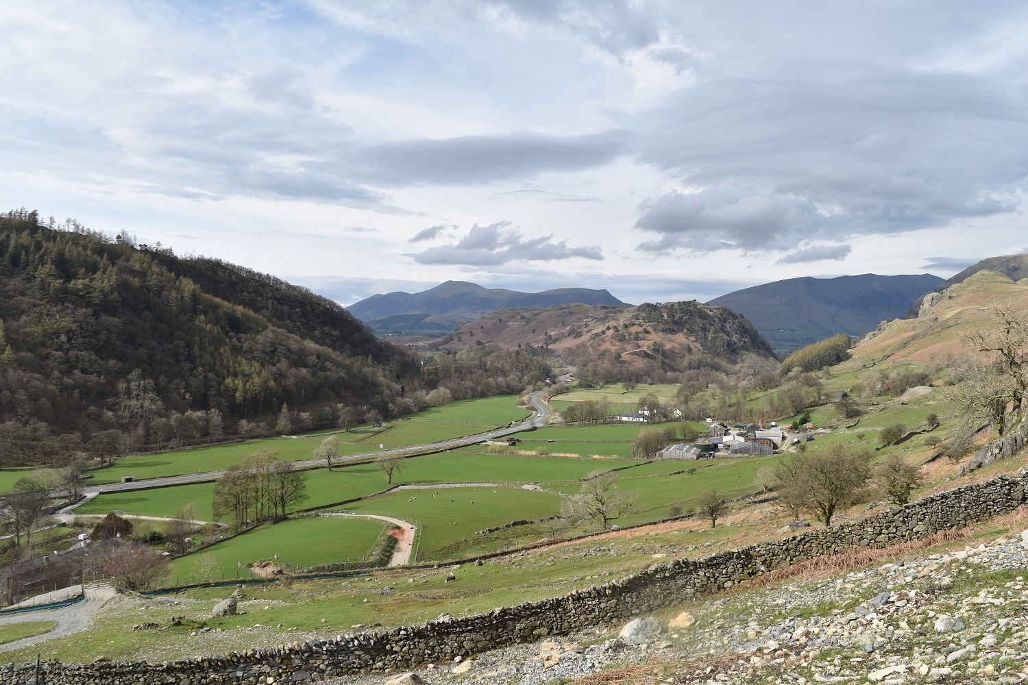
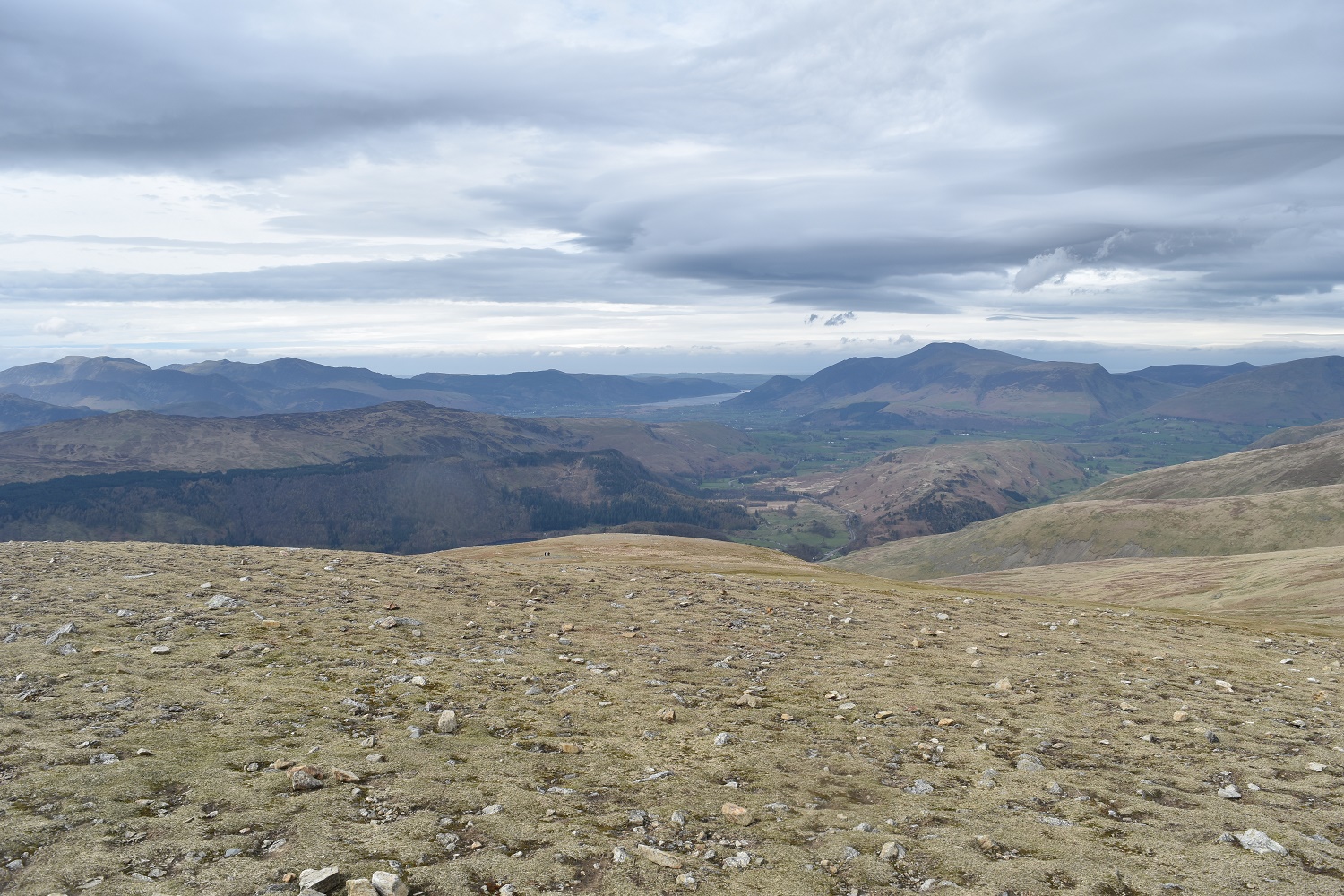
High Rigg is centre photo. My car is at its base. Skiddaw forms the backdrop, 20 minutes walk back to the car to end a brilliant walk


A good walk.
LikeLiked by 1 person
Gorgeous photos! I’m aiming to hit some of the high peaks in that area this summer. We did High Rigg from St Johns in the Vale recently and despite being an easy walk the views are amazing!
LikeLiked by 1 person
The Helvellyn ridge is a great area, Sticks Pass or the path down from Whiteside that I used are good decent routes. There’s also the Old coach road to the north of Clough Head which is an easier way up if you don’t fancy Fisher Wife’s rake
LikeLiked by 1 person