Nakers Hill is a very remote spot on the southern moor, it’s probably the hardest of the summits to get to on the south moor due to the distance from a road and the boggy flat featureless ground all around. Naker’s Hill itself is surrounded by mires. Aune Head Mires are to the north east, Fishlake Mire to the south and Blacklane Mire/Black Lane Mire to the west and south west. There’s is a north/south path (jobber’s or peat path) that passes over Naker’s Hill but given this context, as mentioned, it can feel intimidating. The views are a little dull given that the ground around is so flat, that said Redlake can be seen to the south and even Ducks Pool to the west. There are no military firing areas around these parts.
Height = 483 metres OS Grid Reference – SX640688 Mark out of 10 – 3.5

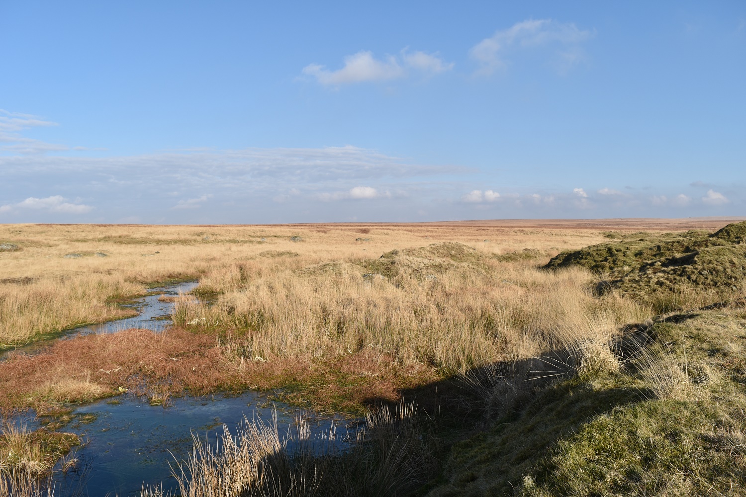
Looking towards Crane Hill and Lee Moor from Nakers Hill
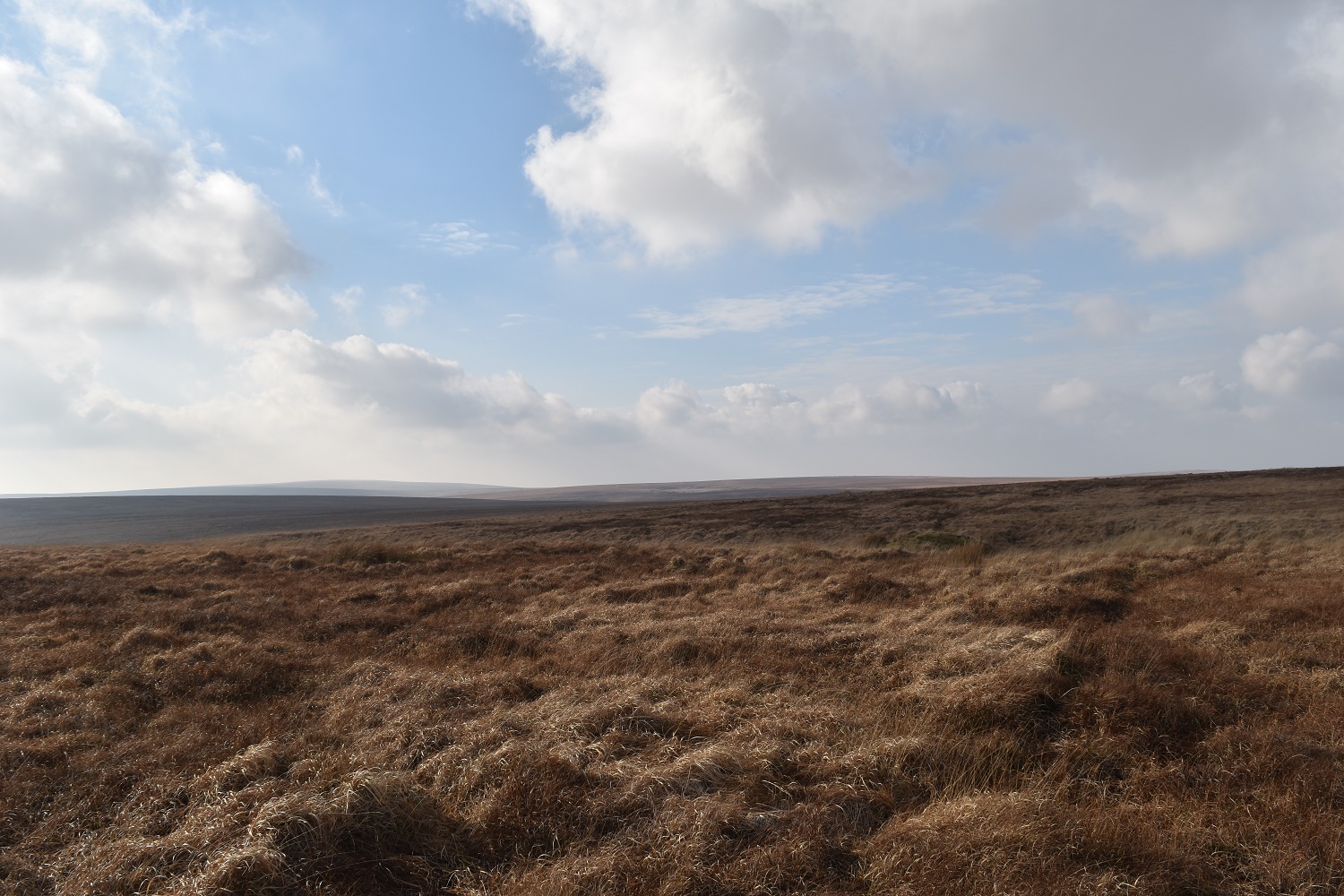
Looking from Duck’s Pool with Nakers Hill in the far distance
And in the other direction, Duck’s Pool is the depression in the hillside

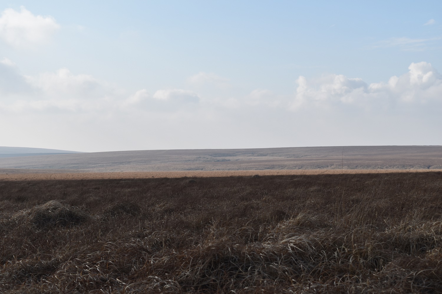
Pointy Redlake from Nakers Hill. Eastern White Barrow to the left of that
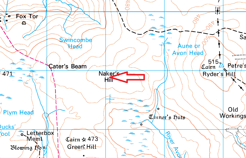
Typical Nakers Hill terrain
