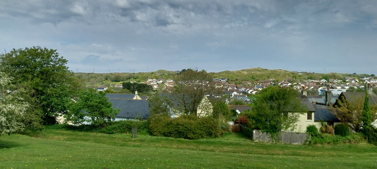
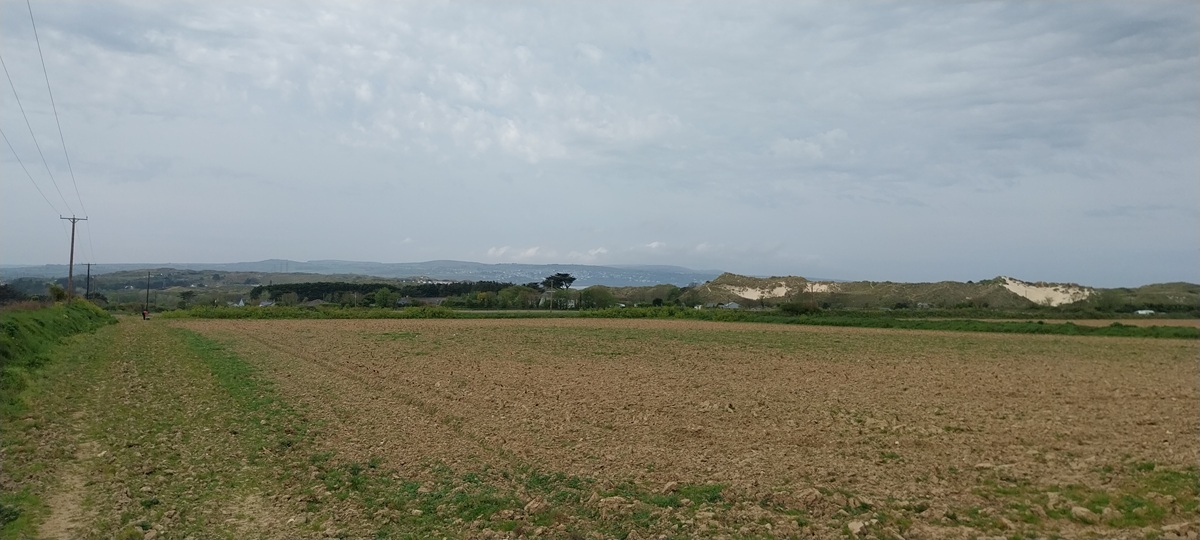
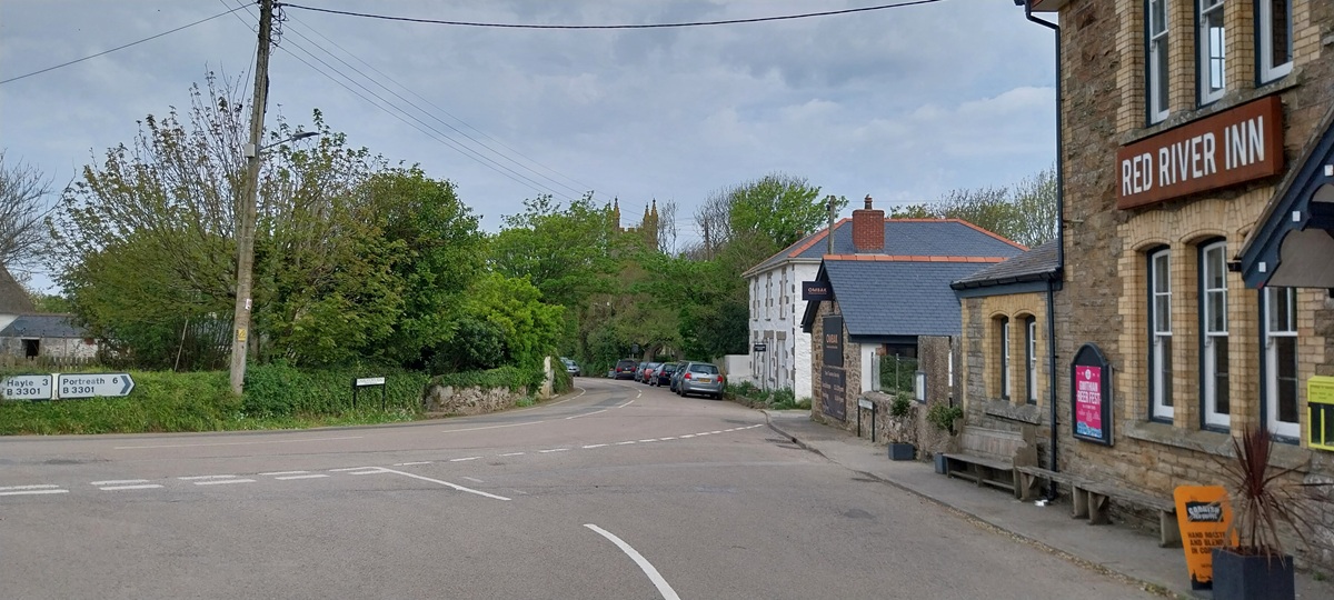
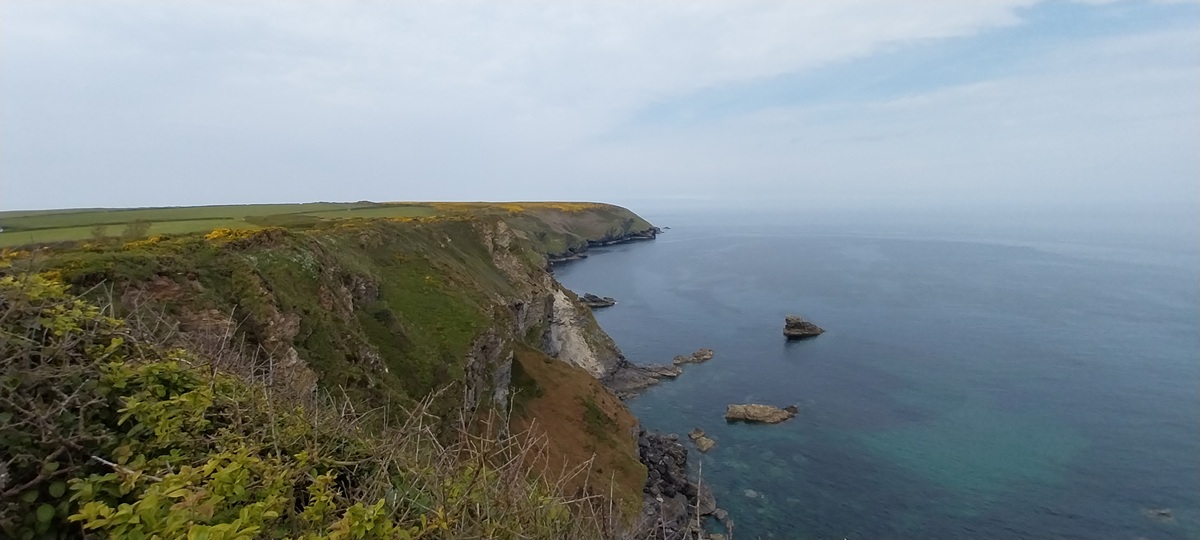
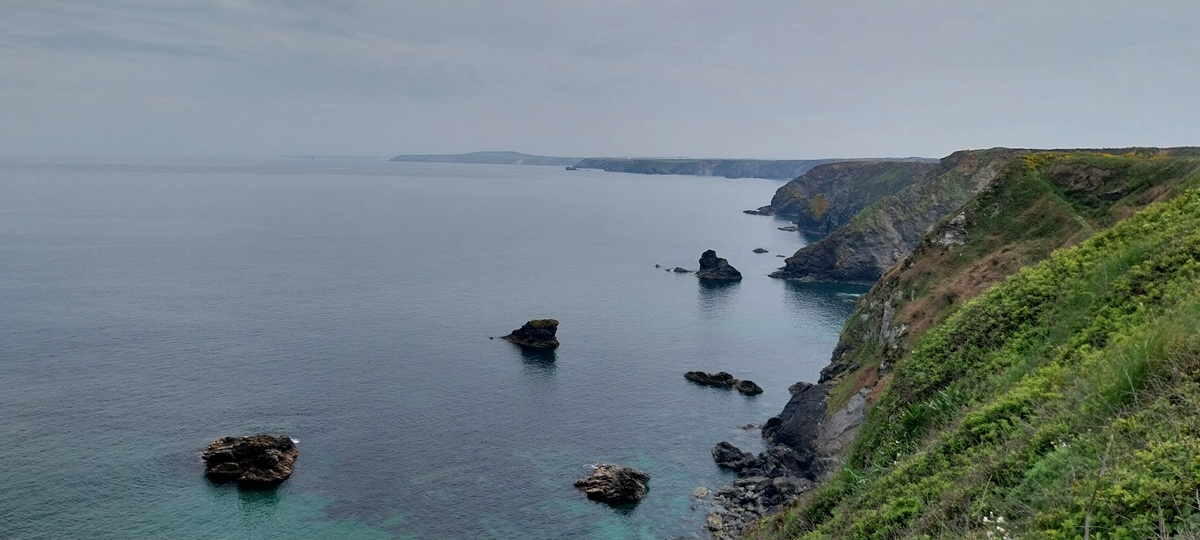
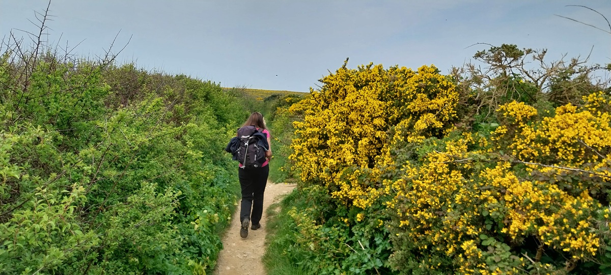
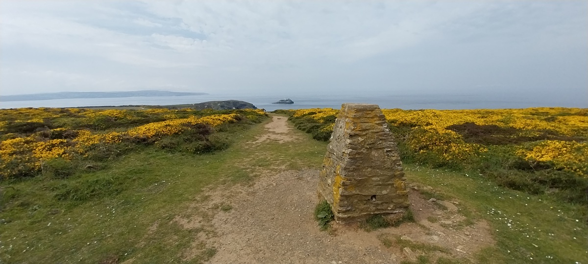
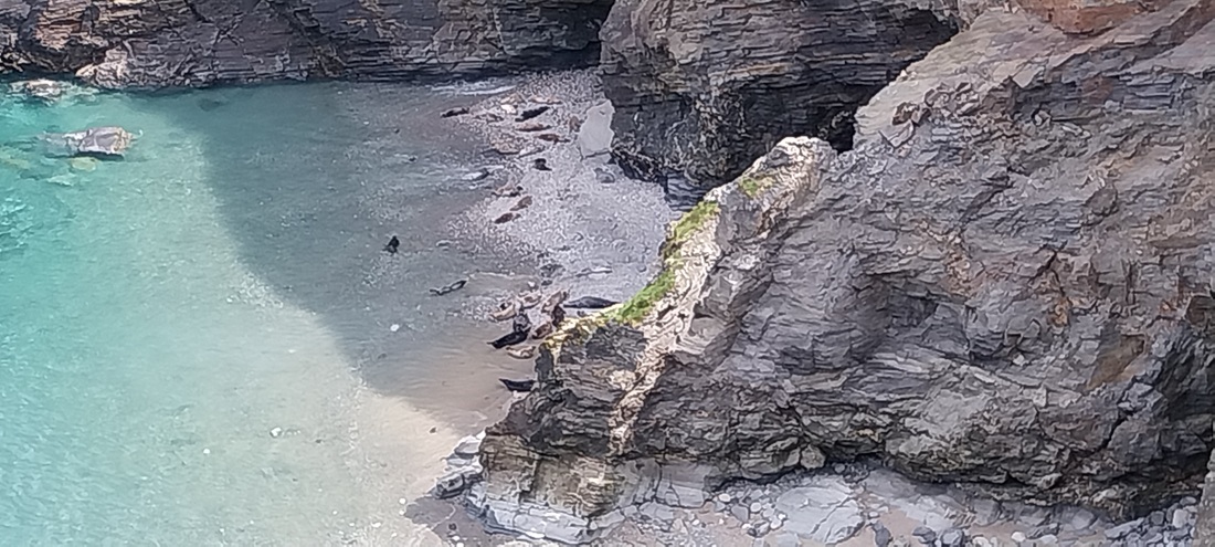
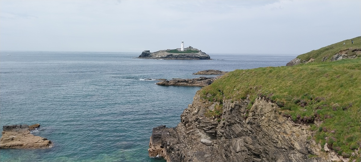
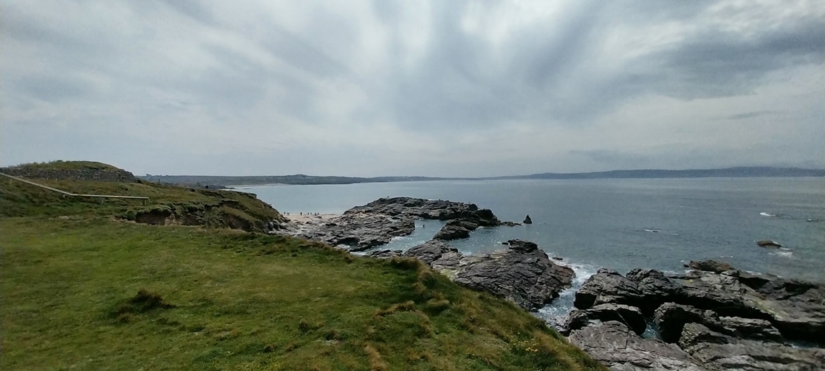
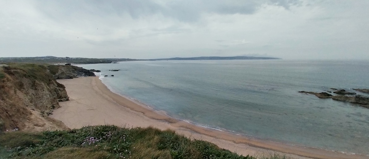
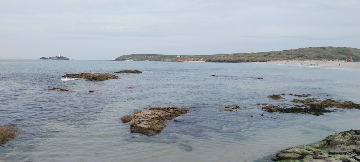
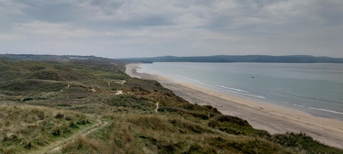
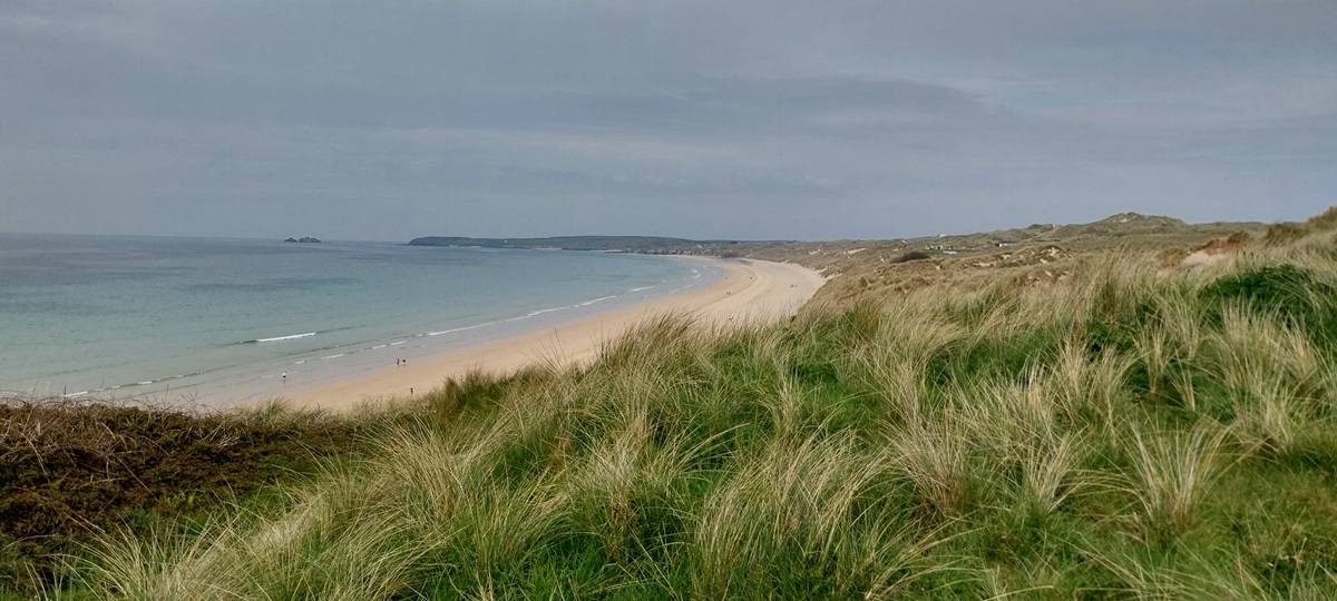
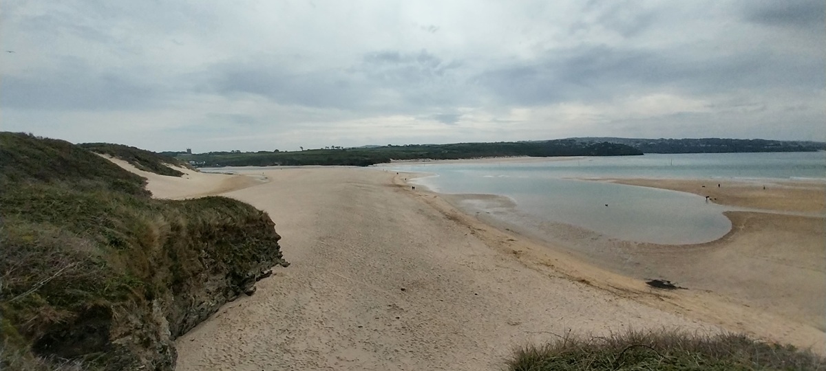
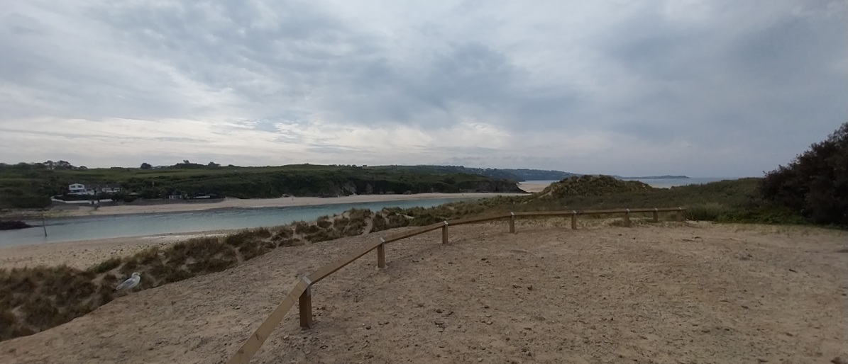
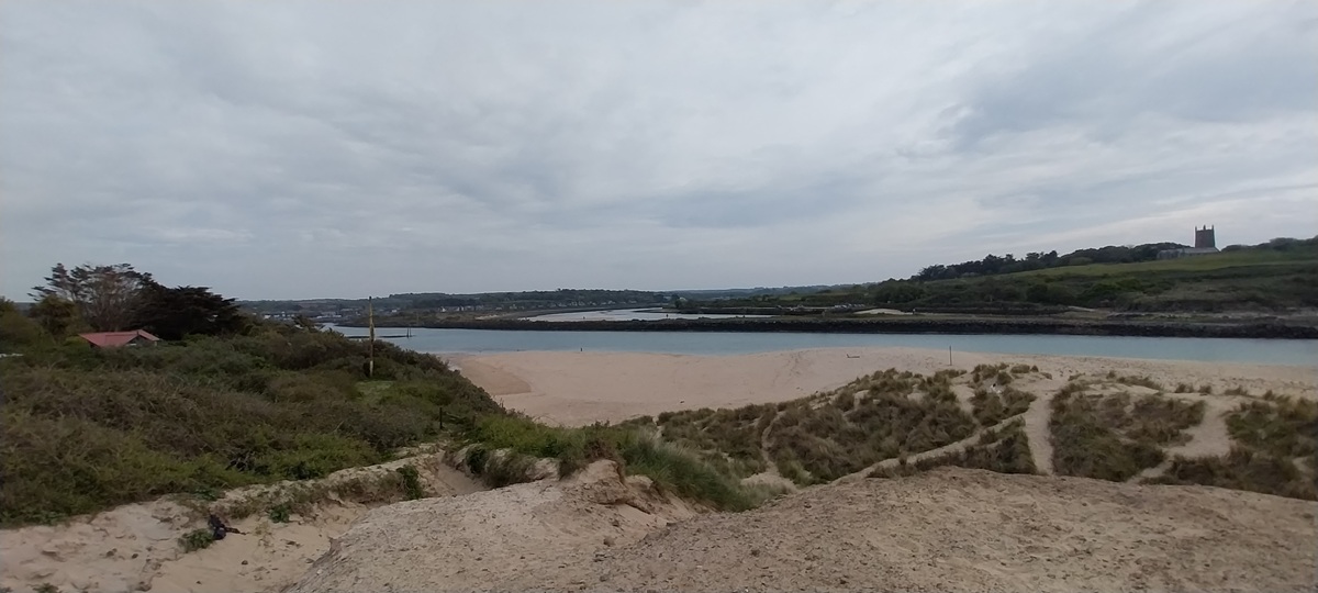
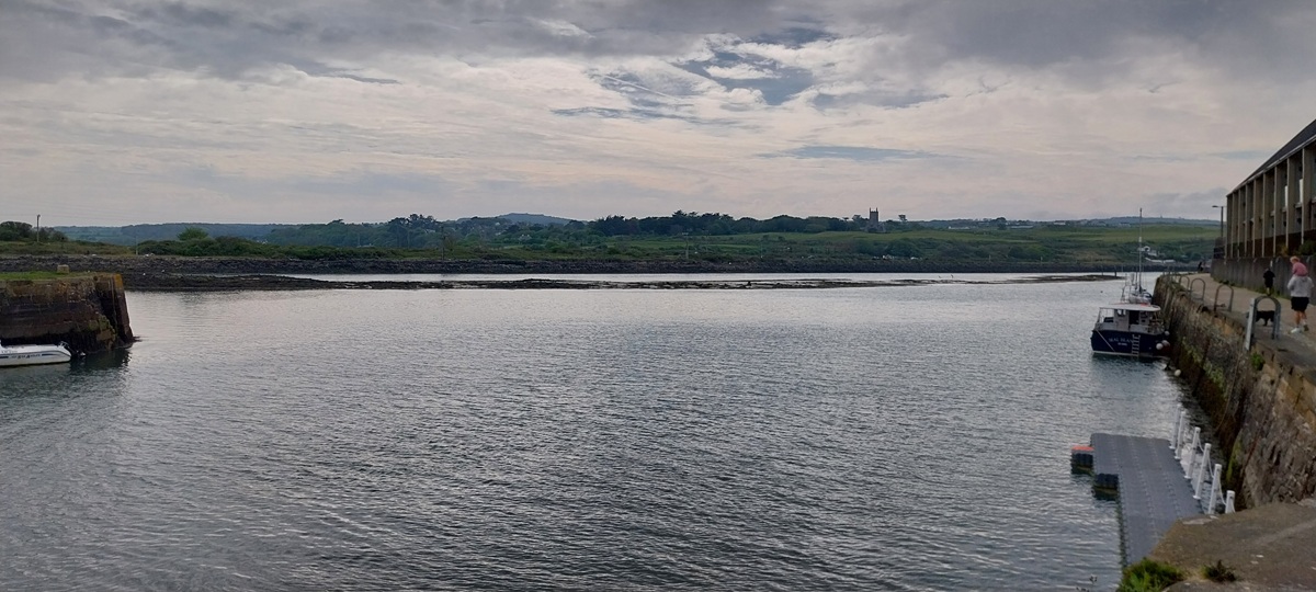
So with just one walk under our belts on Dartmoor, we headed off again at the end of April for some coastal path walking. The weather again was superb (like it was in South Wales), and on returning to work the next week, I was told others would be booking the same time off as myself, to ensure good weather. This section of the path is a bit awkward to do, firstly the Hayle estuary is a bit of an annoying inland and back section along roads, past an Asda and alongside a harbour that has seen better days. But that is the way of the coastal path, you take the soaring cliffs, turquoise oceans, bays and sandy beaches, as well as the walks through the towns and cities dotted along its route. The second awkward bit was the sand dunes, energy sapping and going on for ages, with hundreds of paths criss-crossing, making it tricky to navigate. We had a place to stay booked in Hayle, so parked near to that and set off for Loggans Road (B3301), which eventually ends up in Portreath. We were heading for Godrevy Point, but first needed to pick up the path at Hell’s Mouth, where we finished the last time we were in these parts (here). The road wasn’t too bad, with a good pavement to start with, then across fields to Gwithian and the road again to Hell’s Mouth. Here yellow gorse filled the air with that sweet honey smell and we stopped for a bite to eat with lovely views east along the coast. Soon we were at Godrevy lighthouse and a large gathering of people looking down into Mutton Cove, where a large group of seals were on the beach. One small pup had been abandoned by its mother, so the NT staff who look after area, were sending down some people to retrieve it and look to hand rear it if possible. Fingers crossed. Next were the sand dunes, running for 2 miles and a maze of paths. The National Trust have placed large stones to mark the correct path, but we must have missed the first one and stayed close to the sea, soon we rejoined the correct path, but even then the stones weren’t in sight of the last and path junctions had us guessing the right way. We made it through and rounded the corner into the Hayle estuary, we passed a very inviting Wetherspoons but pushed on into the quays and our end point, before turning back and up into Hayle. We picked up a good Chinese in a box and sat in the car eating that, before heading to our accommodation. Looking at the distance it was a lot further than I planned, and once in the dunes we felt that we couldn’t bale out. Feet were a bit sore, but we rested well that night ready for a truly superb walk the next day.
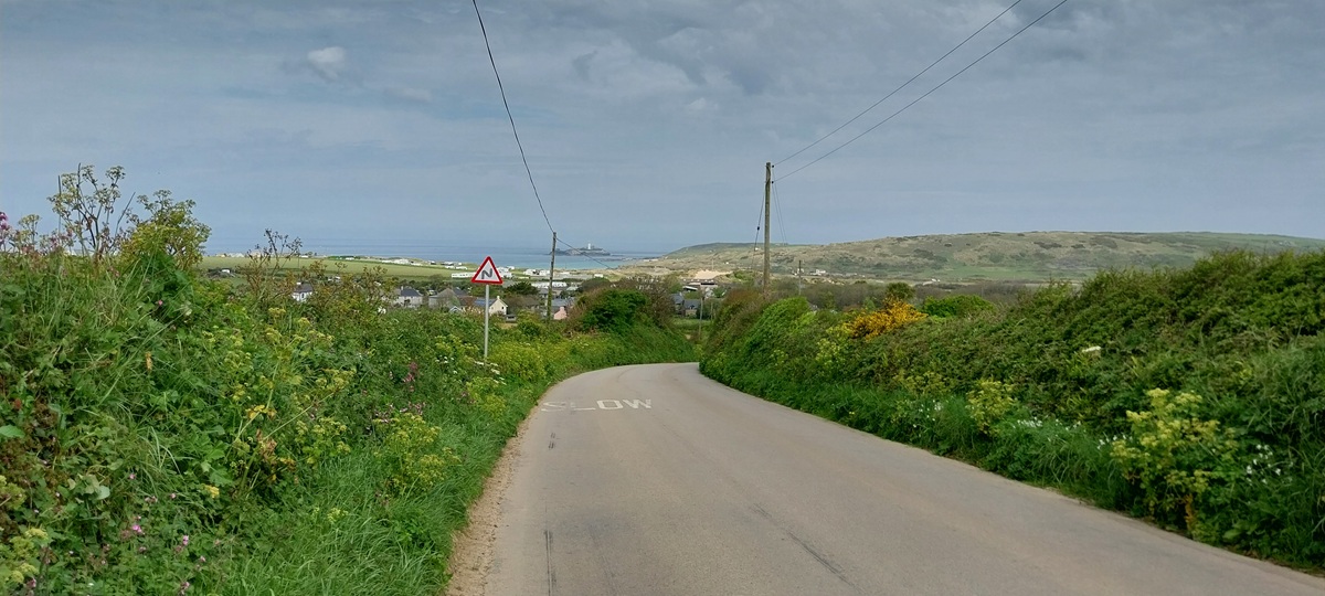
Start – Hayle
Route – Loggans Road – Gwithian – Gwithian Bridge – South West Coastal Path – The Knavocks – Godrevy Point – St Gothian Sands – Gwithian Towans – Upton Towans – Common Towans – Hayle Harbour – South Quay – The Causeway – Hayle
Distance – 13 miles Start time – 10.15am Time taken – 7hrs Highest Point – 76 metres The Knavocks
Weather – Lots of sunshine, quite warm


Sand dunes are really draining to walk on so, well done! Much of this is familiar to me from Jude’s blog, Travel Words. She lives quite close to here. Happy weekend, Steve! xx
LikeLiked by 1 person
I do see Jude’s blog on my Reader, so I knew bits of the walk as we neared Hayle.
LikeLiked by 1 person
The gorse does look glorious and I hope the seal pup was saved, poor thing.
LikeLiked by 1 person
Yes, not long after we left the crowd that was there had gone, so I assume they had been down to rescue it and whisk it away for treatment and food. A couple of days without its mother would be awful, so thankfully the volunteers are there to spot that sort of thing
LikeLiked by 1 person
Funnily enough gorse is a nocuous plant and evasive one that continues to ruin bush areas. I think it grows much slower in the UK than NZ. Beautiful walk and wonderful spring weather to enjoy the vistas.
LikeLiked by 1 person
On Dartmoor it is quite quick to grow, hence the swaling (controlled burning) they do to protect grazing areas and stop it becoming dominant
LikeLike
Great coastal walk Steve. The cliffs are very nice.
LikeLiked by 1 person
Its a lovely part of the country, the next day we had an even better day, that one is to come on my next post
LikeLiked by 1 person
Oh what a beautiful and scenic walk. I really love the views down to Mutton Cove and the seals! 13 miles is a good distance in 7 hours, and looks like the weather stayed on your side.
LikeLiked by 1 person
We had two good days in a row for weather.
LikeLike
Pingback: Jo’s Monday walk : Leeds waterways | Still Restlessjo
Naturally I had to pop over from Jo’s blog post to have a look at your walk in my favourite part of Cornwall (Godrevy). I don’t envy you that road walk. Cars fly around the bends! I have only walked from Godrevy Point to Hell’s Mouth and back, the Knavocks are wonderful. And I have only walked a short distance in those dunes, need to watch out for adders in the summer. A shame it wasn’t low tide or you could have walked the entire way on the beach.
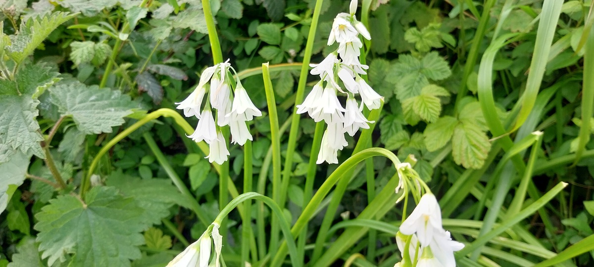
Oh and the white bells are actually three cornered leeks / wild onions. Very invasive, I am constantly trying to pull them out of my garden.
LikeLiked by 1 person
Brilliant thanks Jude, I did wonder about the white flowers as they didn’t quite fit White Bells. We actually thought we’d catch an adder seeing it was nice but not this time, just a few lizards.
LikeLiked by 1 person
We had a few family holidays at Hayle on the big caravan park that I think is run by Haven now. Some happy memories of exploring the area and playing on Hayle beach. Great to see the Seal colony is still doing well. Always a pleasure to see them.
LikeLiked by 1 person
There are two or three caravan parks in those dunes, but the Haven one is still there
LikeLiked by 1 person