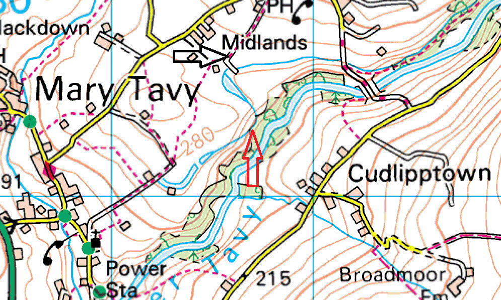
Now this one is a bit naughty, I’ve heard that this one is on private land, probably the water board. However from the direction I came in, I went through two gates, neither said private. The map below shows a black arrow, get here along the public paths, then head down the lonning, through the two gates (the reservoir banks will be clear on the right). The path is fenced off from the reservoir which suggests to me that walking here is ok. Brimhill Tor will be in the trees on the right as you go through the second gate, Head past that and pick up a faint path, passing across the top of a steep banked outflow stream. Now hop over a wooden gate/fence on to a good path, within 50 metres you should reach Kents Tor. You can hear the Tavy below, but the trees cover the view, the only point of interest is the leat which feeds the Hydro Power station downstream which is behind this tor.
Height – 190 metres OS Grid Reference – SX517793 Mark out of 10 – 3
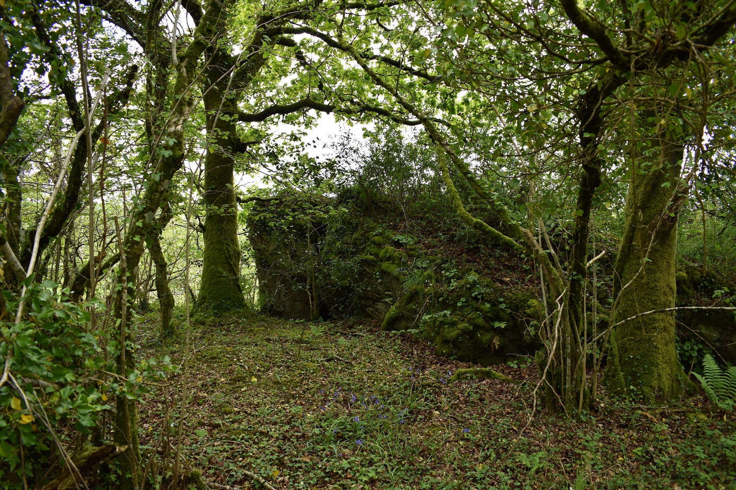
Kents Tor in the trees
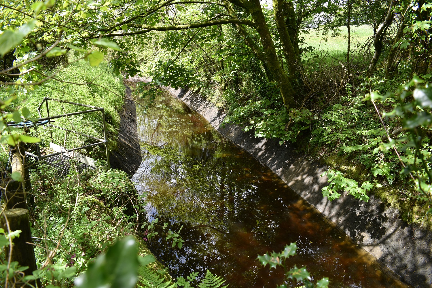
The leat behind Kents Tor

View out from Kents Tor towards White Tor
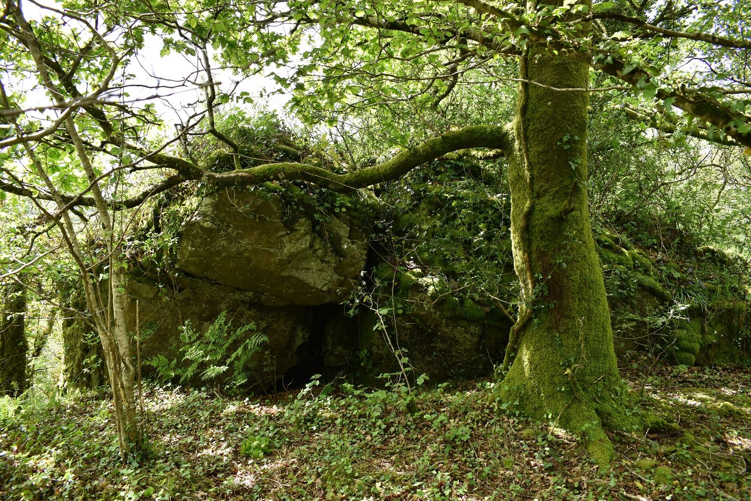
Kents Tor
