I’ve done a fair bit of looking around the internet for these rocks and they don’t come up very often. In the older books (William Crossing) is suggesting that these sit on opposite banks of the Blackbrook. Social Hiking prefers a tiny split rock to the west of those two outcrops. I’ve marked all three on the map, but for me its the two outcrops, either side of the river by the bridge, that count. The bridge below handily joins these two rocky sections and once on the summits there are good views back along the brook towards Princetown and the other way towards Skir Hill. The easiest way to get to the rocks is from the main path past the Crock of Gold above, heading down past Blakey Tor to Prince Hall Rocks. There are no military firing ranges near this tor.
Height – 342 metres OS Grid Reference – SX616742
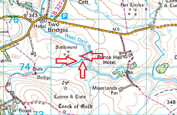
The lone split rock of Prince Hall Rocks. For me head 80 metres or so further east to the two outcrops either side of Blackbrook
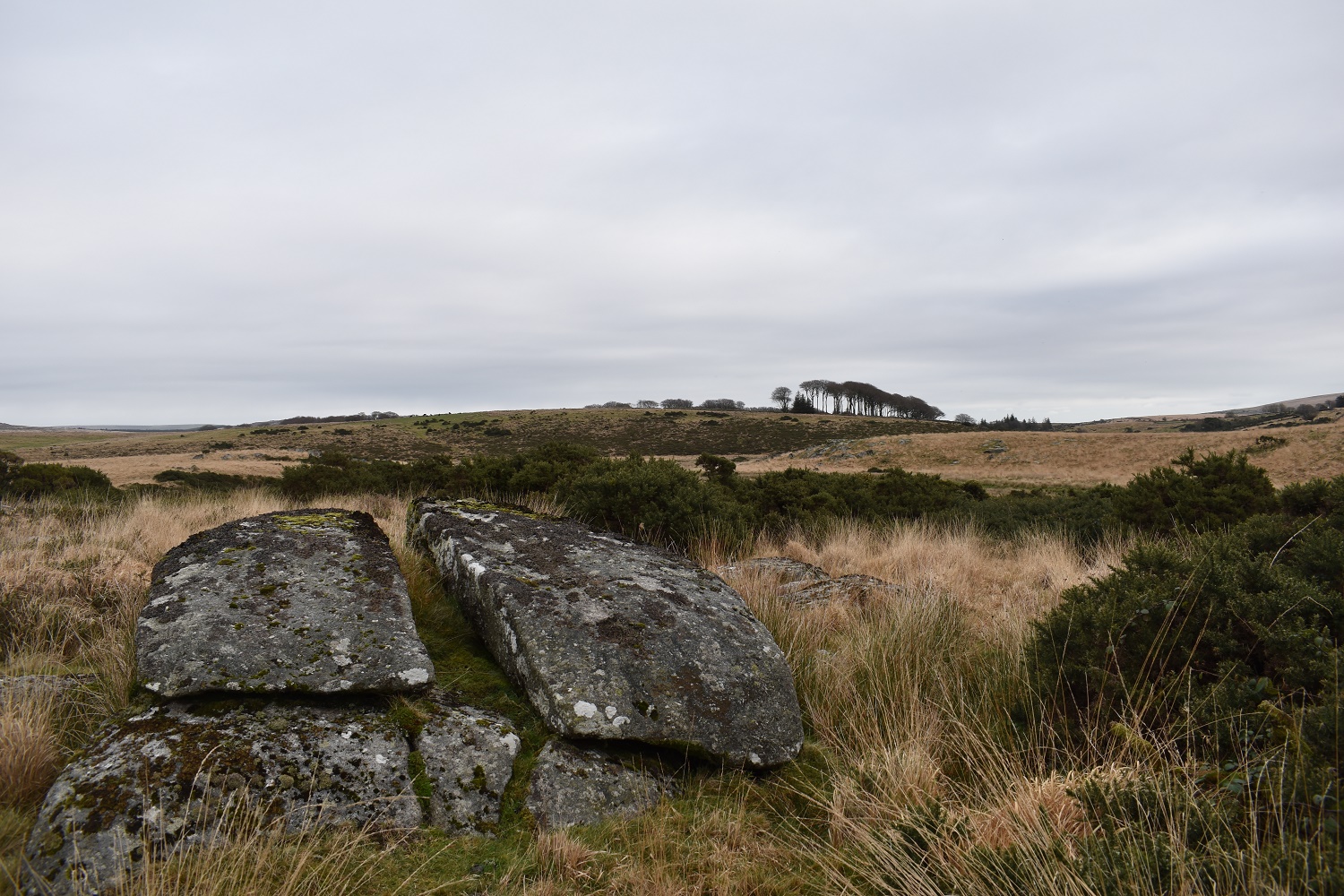
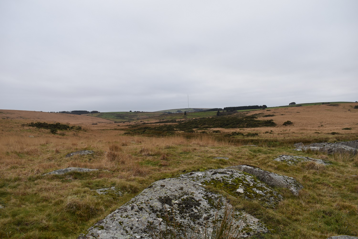
The Princetown mast on the left and the West Dart valley to the right from the northern of the two outcrops
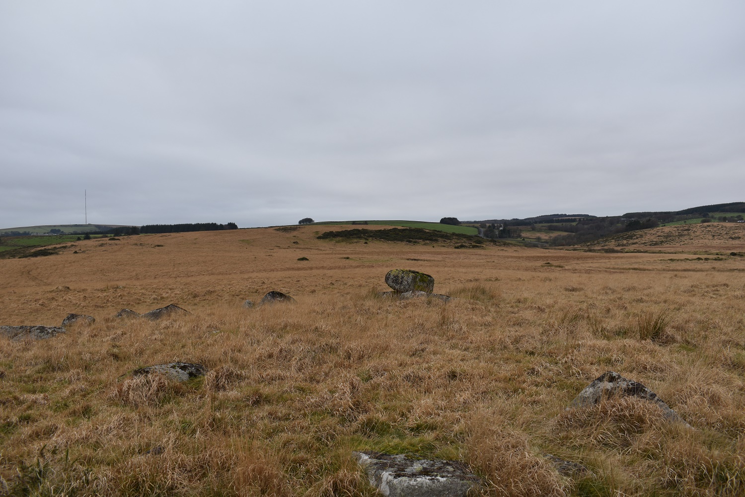
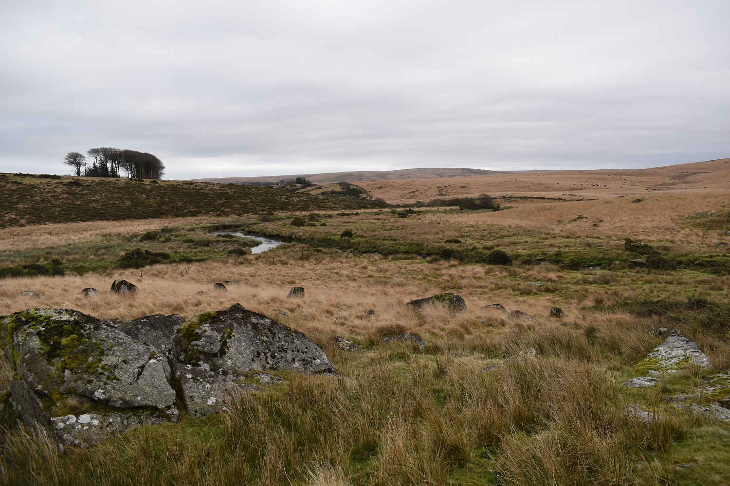
The Blackbrook and its bridge below from the northern Prince Hall Rocks, the southern outcrop is just beyond the bridge. Blakey Tor is top right
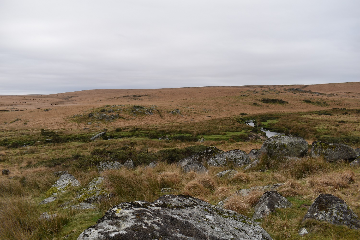
The Blackbrook and the West Dart rivers join here, with Skir Hill in the distance
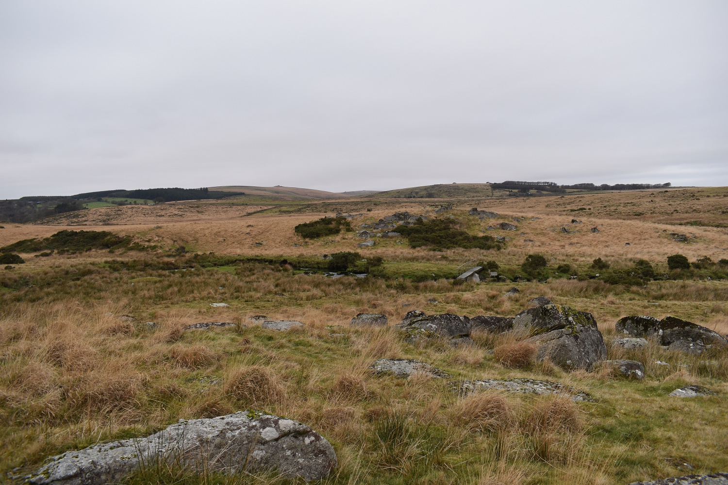
On the southern outcrop now looking back to the northern one
Looking back to Princetown along the Blackbrook
