Tristis Rock sits high on the western side of the River Erme on Burford Down. Its a fairly obvious rocky outcrop which stands out against the skyline. Its a reasonably easy spot to get to, and you have a number of options in order to get there. First is a path (marked on OS maps) in a south west direction from the road into Harford, on the Hall Farm side of Harford Bridge, starting at a gate. You can also drop down from the Stalldown Barrow side, or finally the tricky option of crossing the Erme. This last option will probably involve a wade through the river, a climb over a fence and a thrash through steep undergrowth!! The views are good for such a small tor, especially along the Erme valley and across towards Butterdon Hill. There are no military firing areas near here.
Height – 260 metres OS Grid Reference – SX638601 Mark out of 10 – 6.5

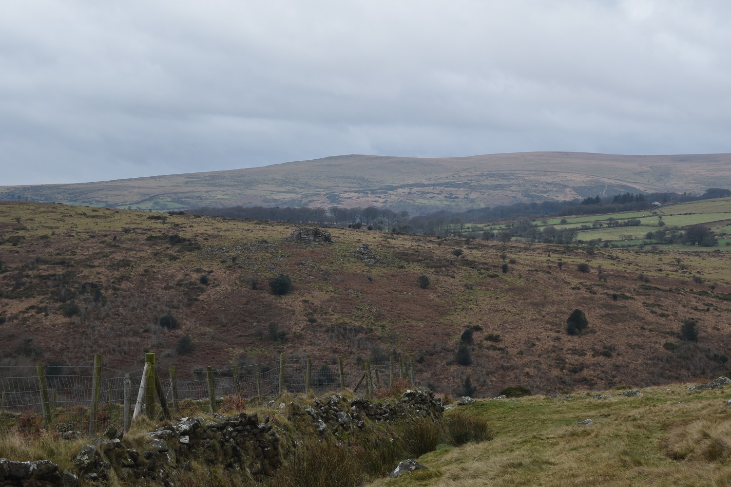
Tristis Rock on the other side of the valley
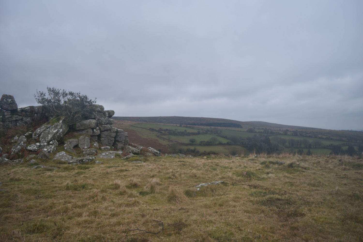
From beside Tristis Rock looking to Butterdon Hill
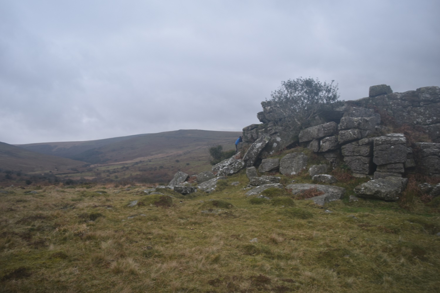
Three Barrows in the distance from Tristis Rock

Tristis Rock looking up the River Erme, Stalldown Barrow on the left
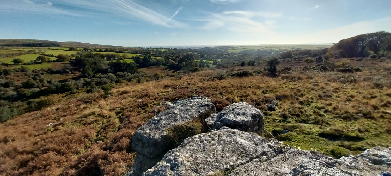
Looking out of the moor from Tristis Rock
