A short Saturday trip out with the boys and a chance to do some of my youngest’s homework. He’s been given a booklet with lots of different tasks in it to complete, things like a blind taste test, climb a mountain/hill, go to a science lab and learn to read an OS map. So here we were, parked up near to Cadover Bridge, with the plan for him to lead us to Shadyback Tor (which I had located for him as it is not marked on the OL28 map). He first used the compass to locate north and the worked out which way that was on the map and the direction we needed to head, picked out the landmarks we would pass and took us along the correct path to the area were you could see the tor easily. It was good fun and something that I will get him doing again in the future on some of our longer walks. It was only a short walk of around a mile and the weather was a bit grotty and overcast, but some credit to the school for giving a great piece of home work.
© Crown copyright 2019 Ordnance Survey FL 2019 SF
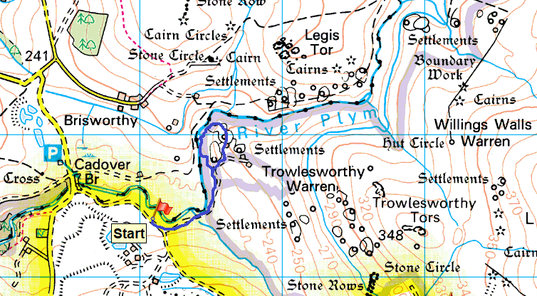
The River Plym with the Trowlesworthy Tors ahead, my youngest had picked those out on the map already so knew we had to follow the river around to the left

I’d asked him what tor that was in the distance he correctly worked out that it was Legis Tor and conveniently it is on a line to Shadyback Tor
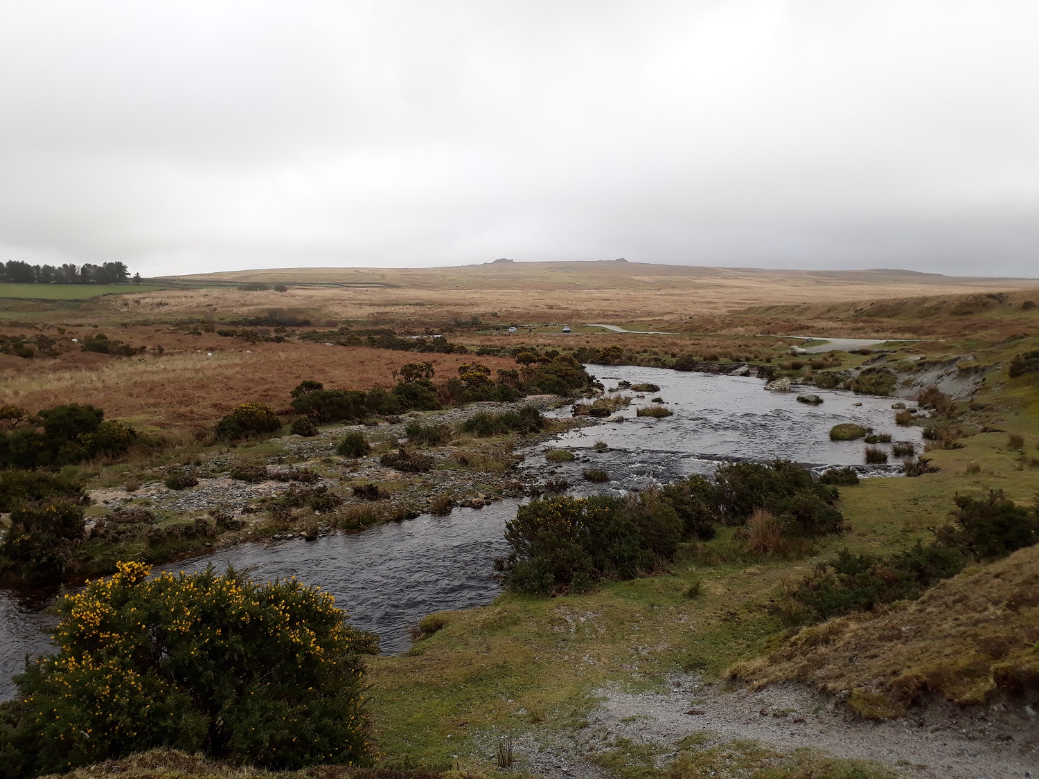
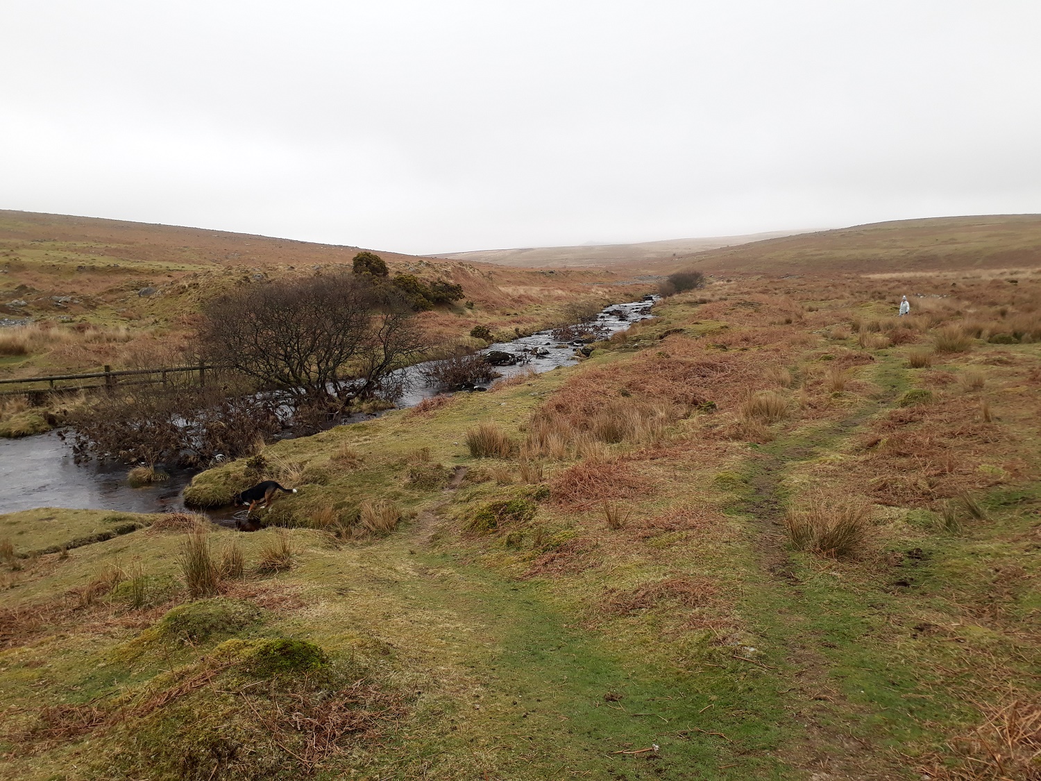
The Blacka Brook which flows into the Plym, that’s Penn Beacon up on the left
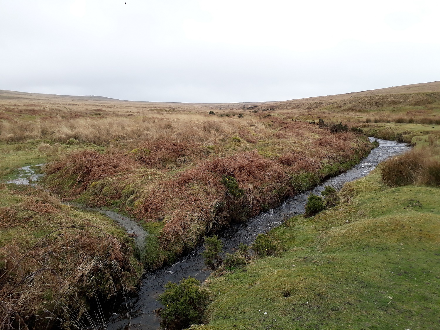
River Plym again with the Blacka Brook pouring in from the left
Just below Shadyback Tor, which is to my right, stood by the Plym looking upstream. Normally Hen Tor would be straight ahead but the low cloud has covered it.

Shadyback Tor looking upstream along the Plym
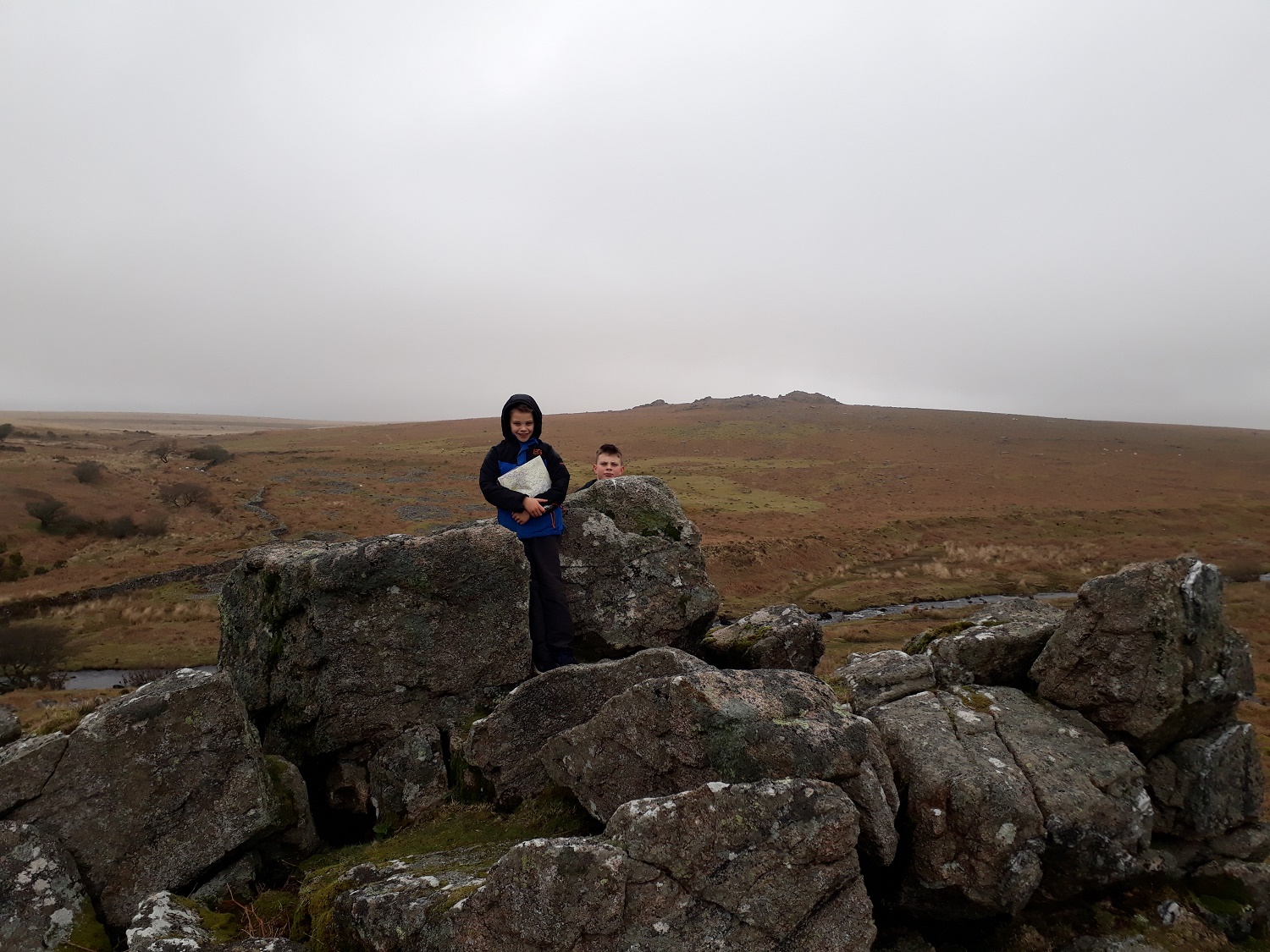
Successful map reading as we reach Shadyback Tor, Legis Tor behind
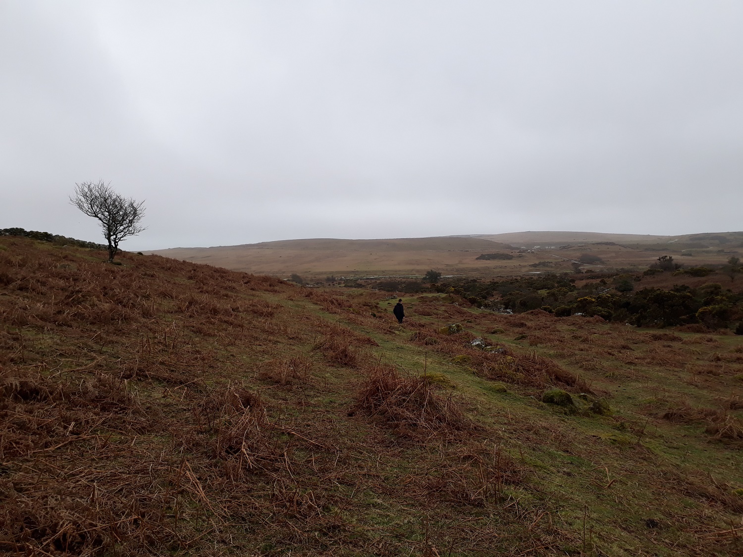
Now heading back, Saddlesborough forms the backdrop

Nearly back at the car, looking to Legis Tor again, Trowlesworthy Warren House in the trees to the right. A nice little walk, and a small piece of the homework completed!!


Nice to see some interesting homework for a change as a chance to leave electronic devices at home. Mind you, I use maps on my phone to navigate these days!
LikeLiked by 1 person
I pretty much use my gps all the time as well. It was good, we weren’t counting steps for distance or anything complicated, it was just to get him used to translating what is on the map to what is on the ground and then walking in the right direction.
LikeLike
I never got used to using the GPS device. OS maps on my phone works pretty well although I always carry a paper back up
LikeLiked by 1 person
My mobile ran out of battery on Sunday, it was very cold, I hadn’t charged it all the way and my normal camera was out of battery so I was using my phone for photos. Good job I knew where I was!!
LikeLiked by 1 person
Being the tech geek, I carry a backup charger on day walks and a solar panel when I’m out backpack trips
LikeLike
That’s excellent, speaking as nav trainer! Good to get the skills under the belt and then use the gadgets!
LikeLiked by 1 person