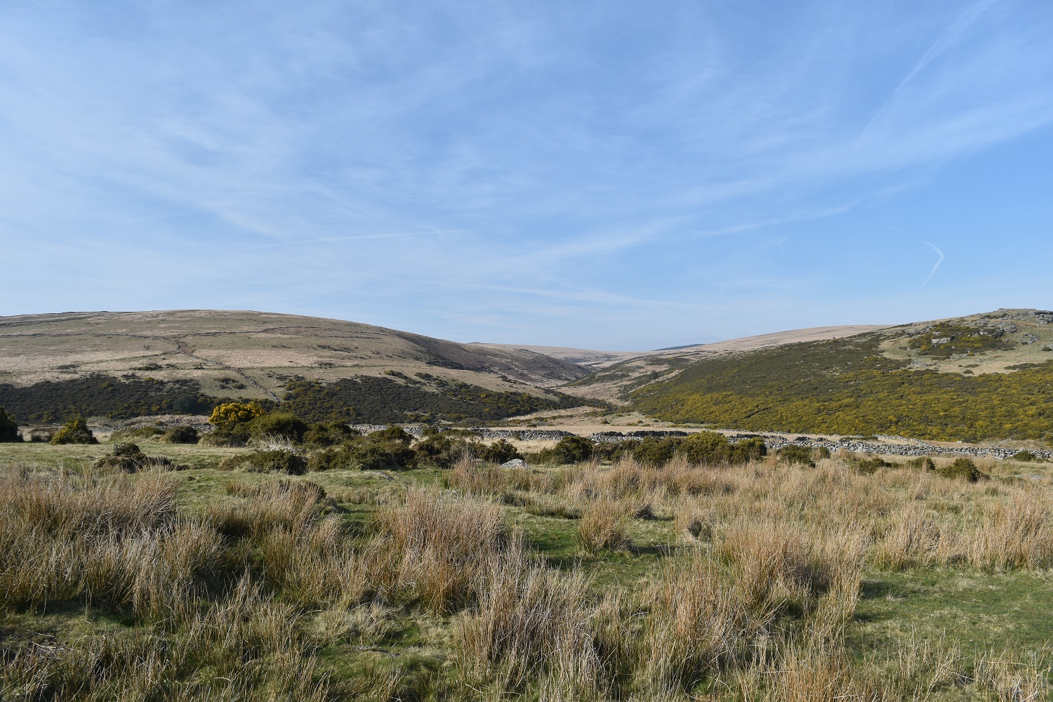
The area of Broad Down is quite a large area of rolling grassland to the north of Postbridge. It sits between the East and West Dart rivers and runs up as far as Sandy Hole Pass. This page covers just Broadun Rocks (black arrow below). Broadown Tor (red arrow below) can be found on its own page also sits on Broad Down about half a kilometre apart. The views from here are pretty good especially to the south across to Bellever Tor and from Broadun Rocks you get good views north to the East Dart Waterfall and to Sandy Hole Pass. The easiest route to Broad Down is from Postbridge following the Drift Lane path which leads out from behind the Dartmoor National Park centre, this path takes you straight to Broadun. No military areas are immediately around Broad Down, only further north and west.
Height – 455 metres OS Grid Reference – SX630802 Mark out of 10 – 5


Looking across to Fernworthy Forest from Broadun Rocks

Higher White Tor sticking up at the back with Broadown Tor to the right and nearer
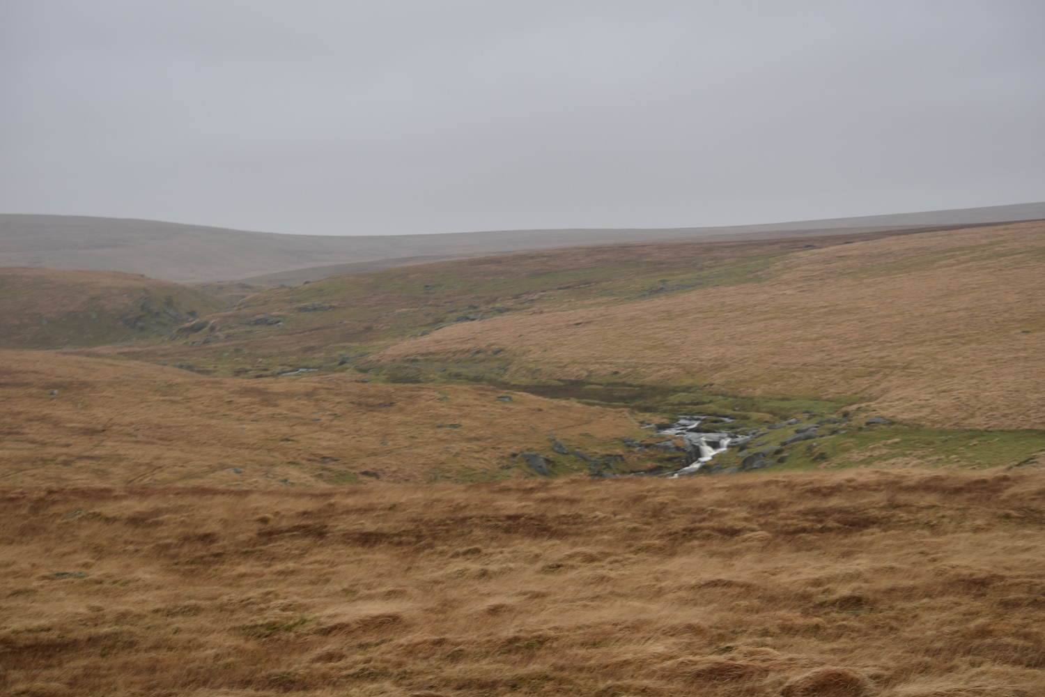
East Dart Waterfall and Sandy Hole Pass behind and to the left. Cut Hill rising back left. From Broadun Rocks
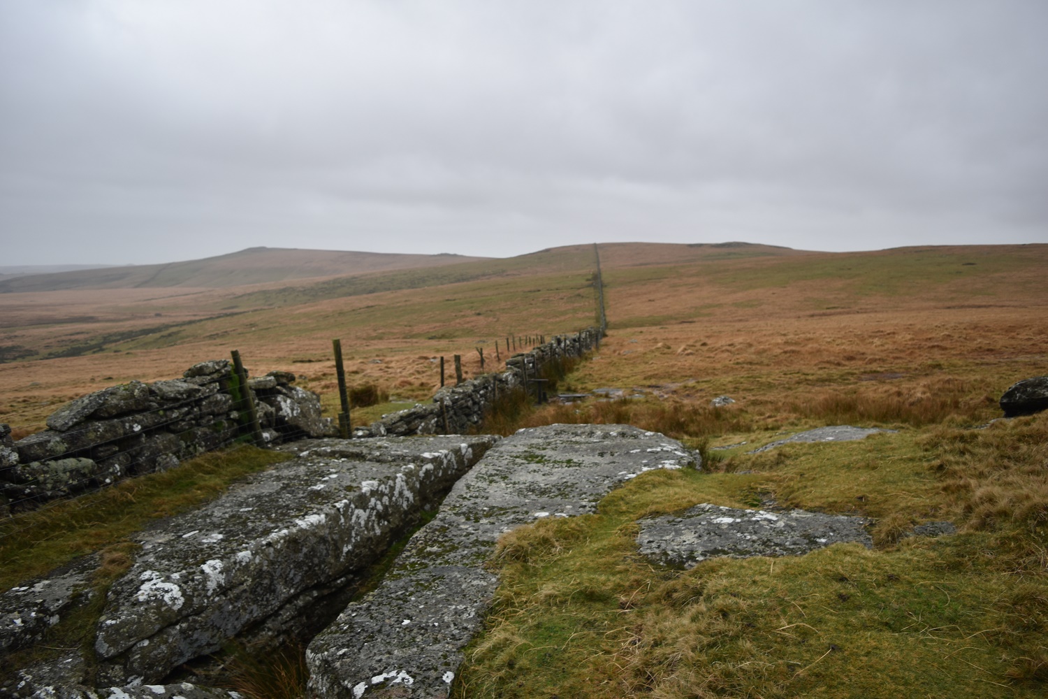
Broadun Rocks and the wall to Broadown Tor
Broad Down to the left and Hartland Tor on the right. The East Dart valley separating the two
