The last walk of an autumn week in The Lakes and being the last day I always try to pick something easy and as easterly as possible to get on the M6 quickly. The 6 plus hour drive to Plymouth necessitates leaving late afternoon, so you miss the worst of the traffic around Manchester and Birmingham. The weather looked poor for the final day though, with possible dry spells from midday onwards. I decided a quick trip to Keswick for a coffee was needed before heading to Mungrisdale and a walk into Bannerdale. Depending on the weather it would either be a sharp climb up the east ridge to Bannerdale Crags and then Bowscale Fell. Or if the weather was poor Souther Fell would be the target. As it was the weather got slightly worse, the cloud lower as the day went on so Souther Fell it was.
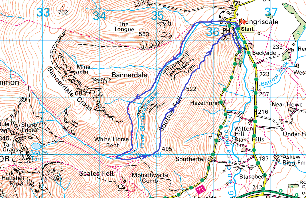
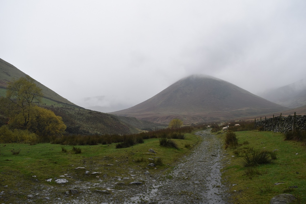
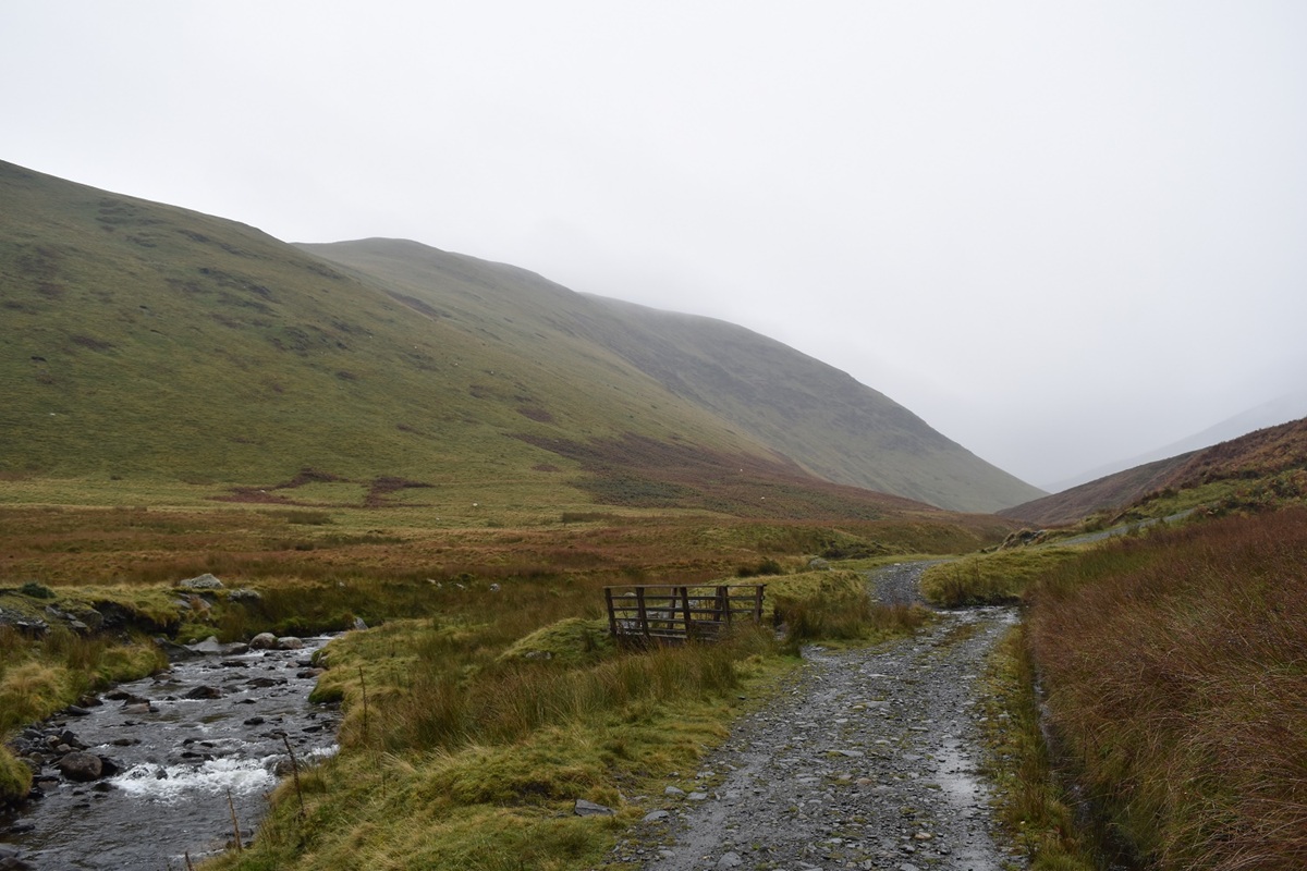
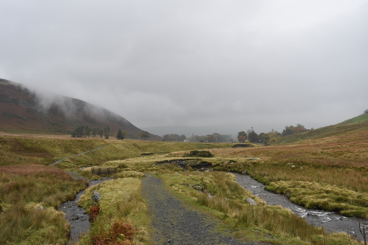
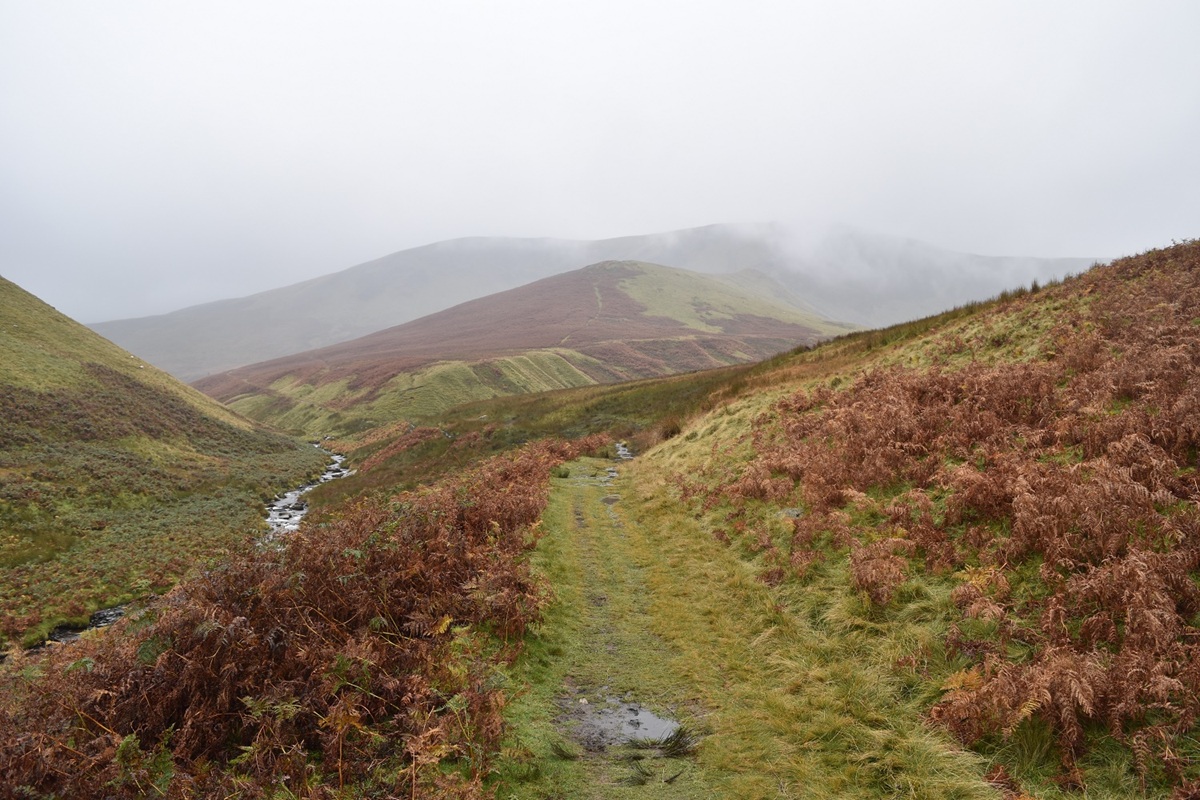
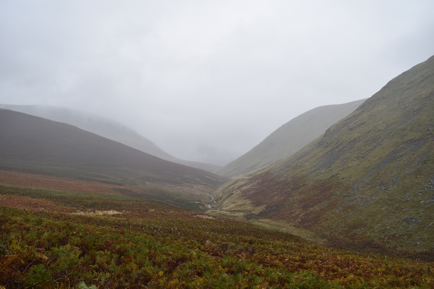
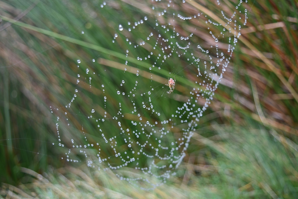
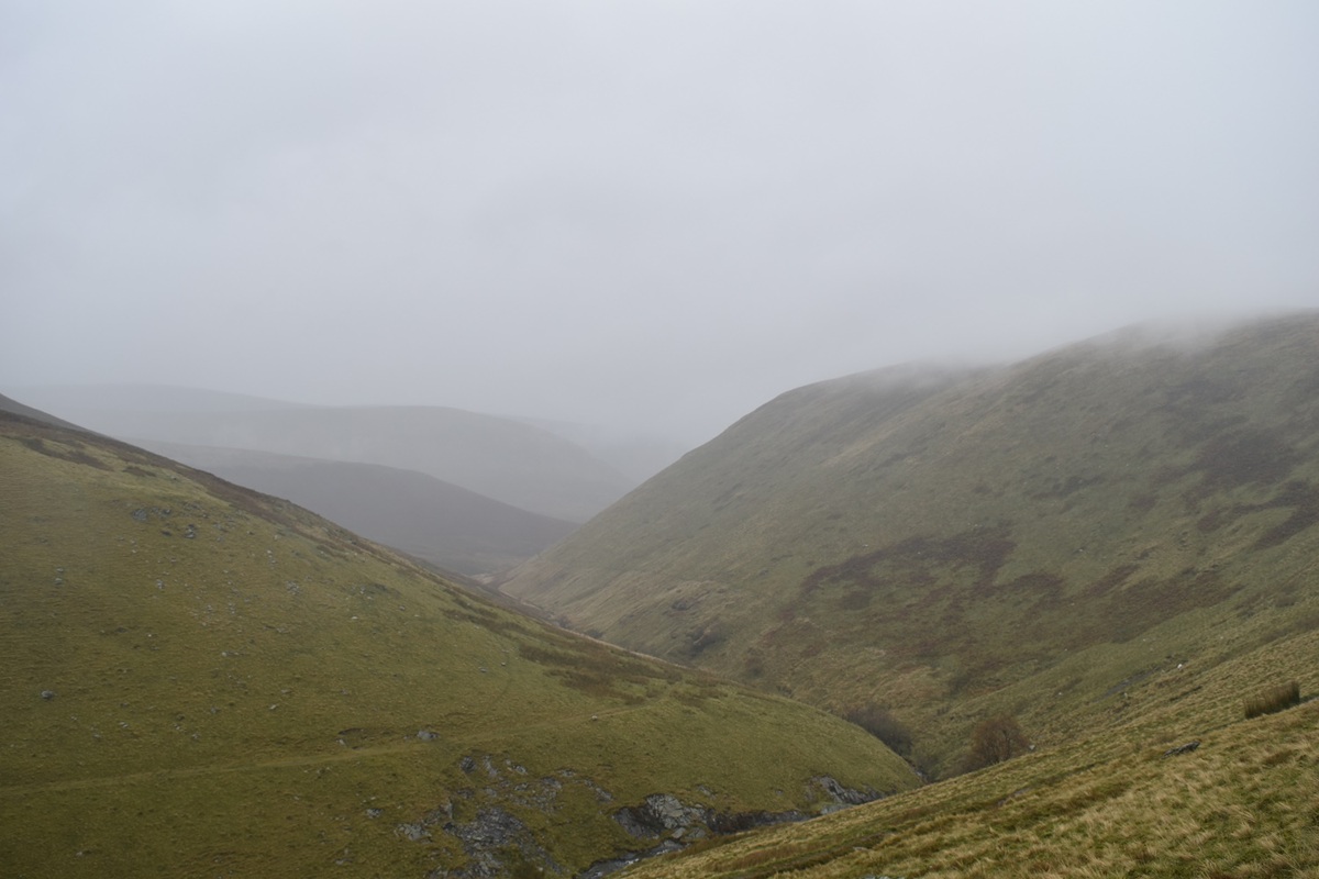
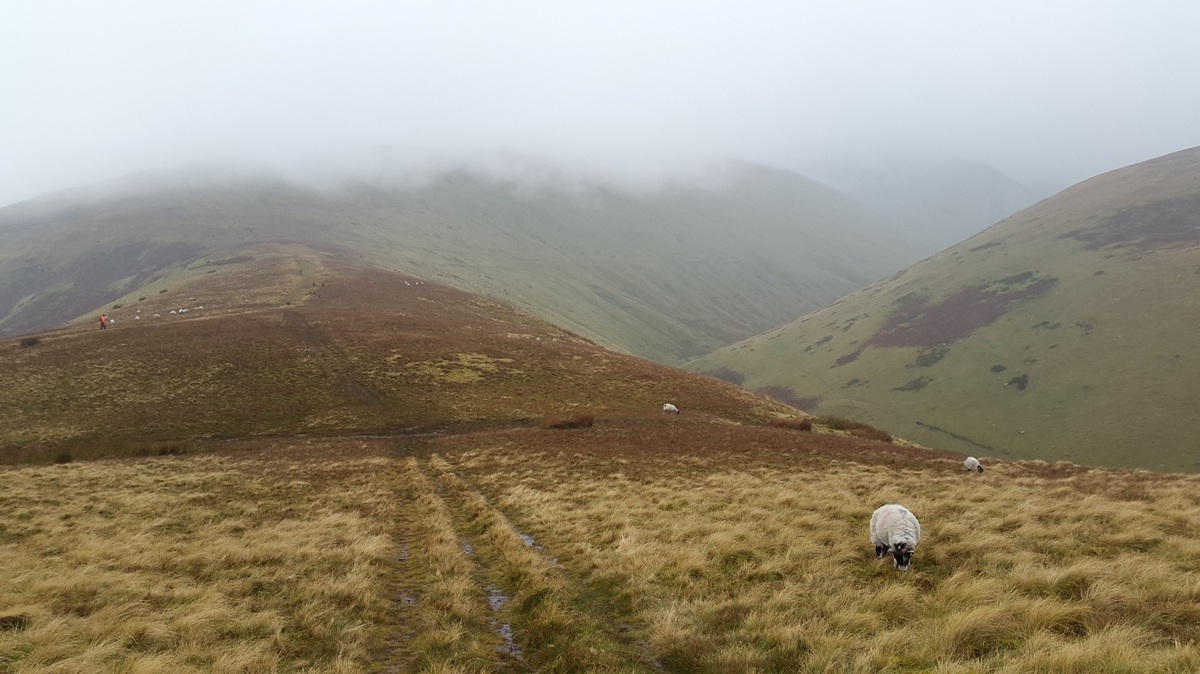
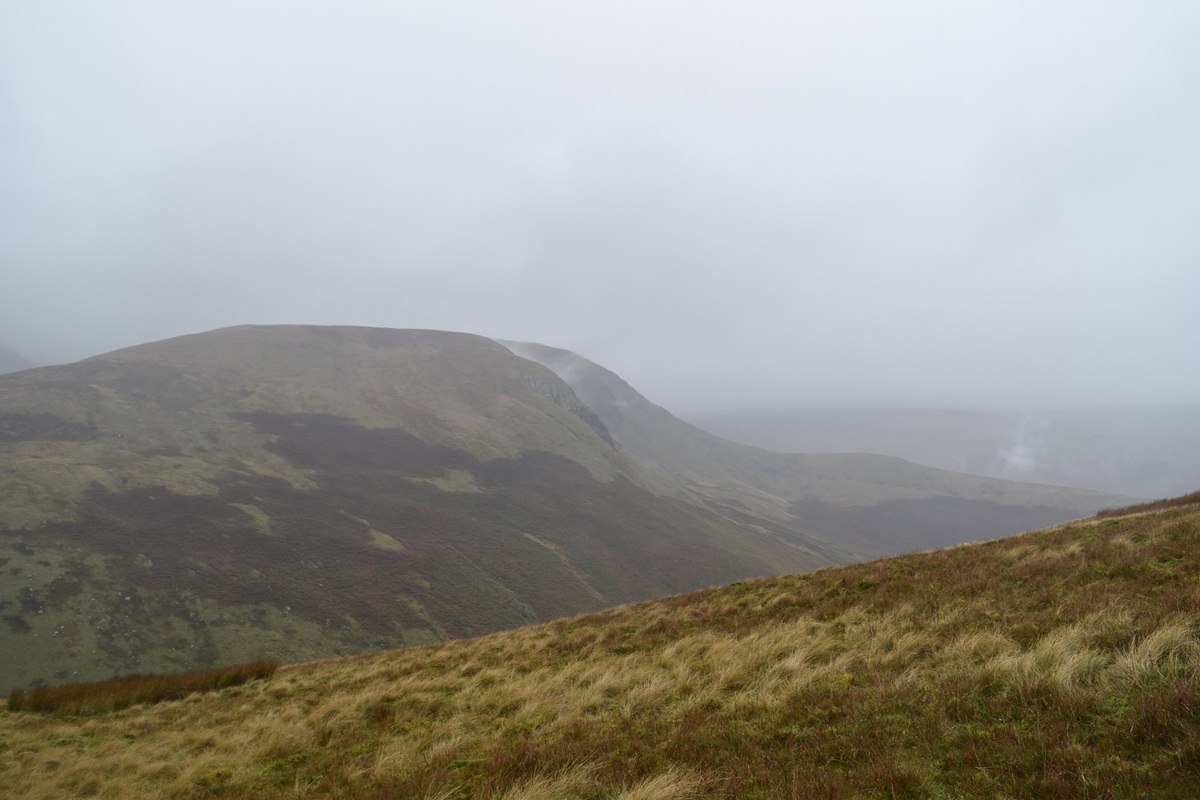
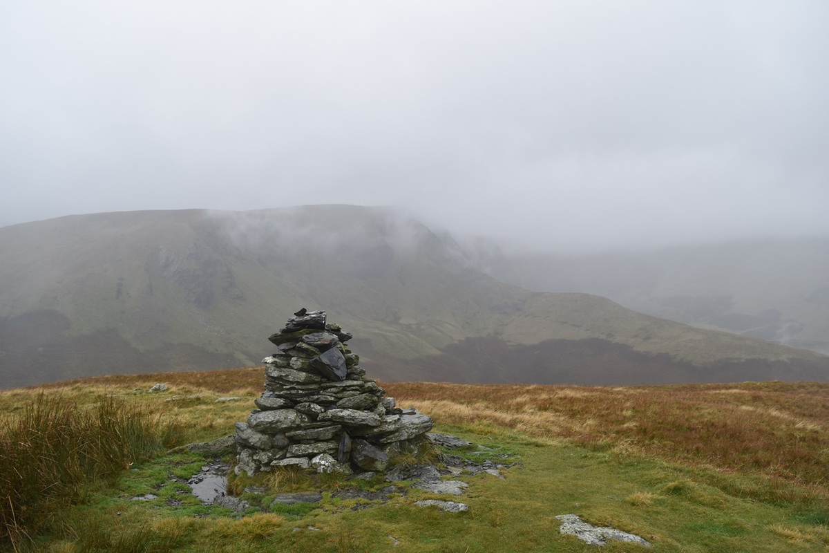
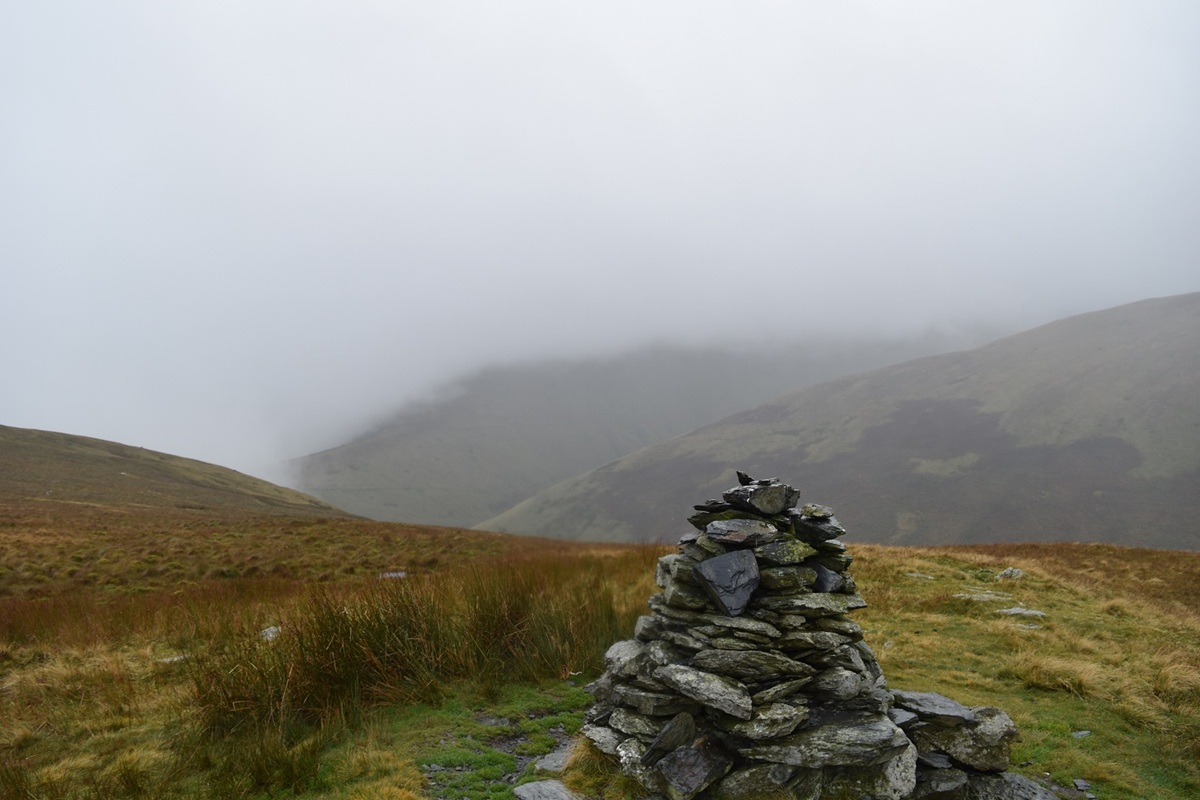
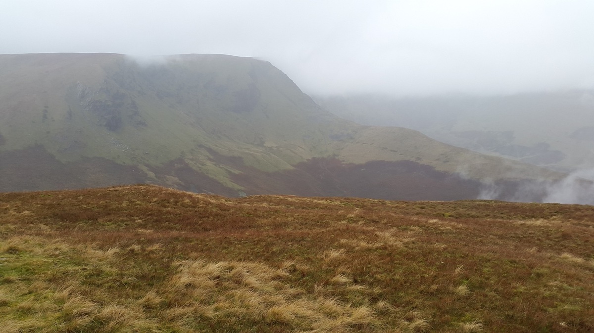
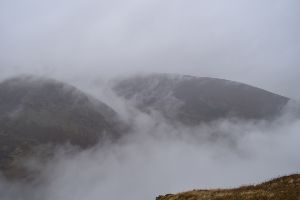
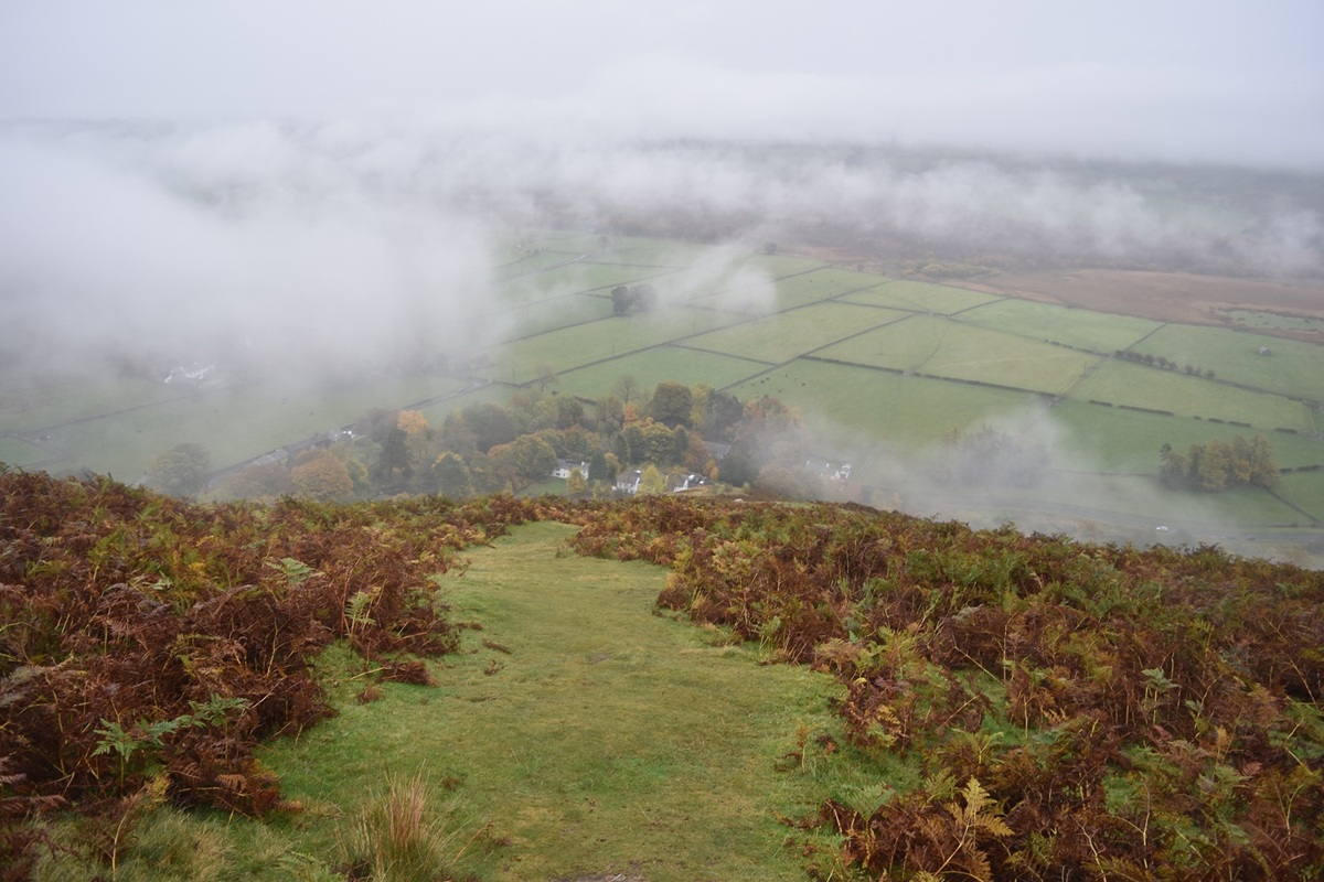
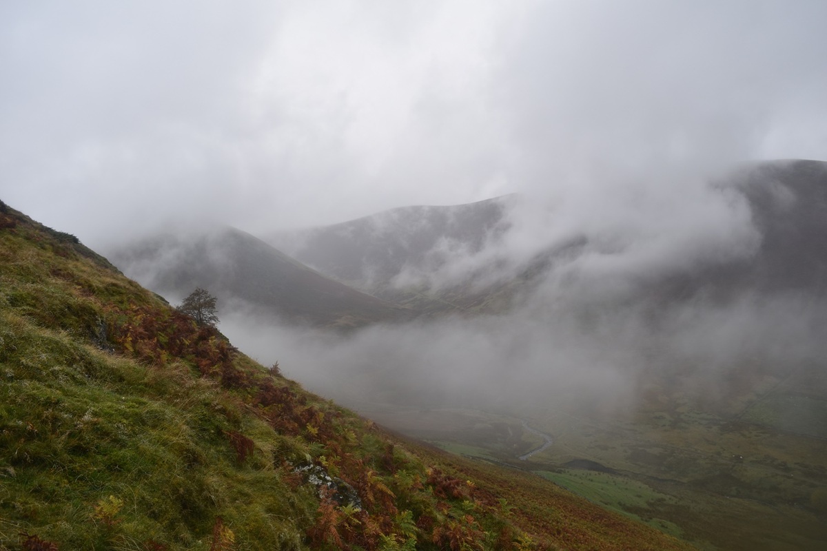
Heading out from Mungrisdale, The Tongue dead ahead and the lower slopes of Souther Fell leftSouther Fell left along the good path that leads into BannerdaleLooking back to MungrisdaleDecision time coming up, Bannerdale Crags straight ahead, or do I go round to the left to Mousthwaite Comb.The River Glenderamackin snaking its way towards Mungrisdale, the cloud is getting lower!Rain drenched house for this little fella!At Mousthwaite Comb, Souther Fell up on the right. On a good day this must be a great place to be. Sharp Edge to the left and behind me here. The A66 directly behind me and the Vale of Keswick and this view down to Bannerdale.Looking back to Mousthwaite Comb as I climb Souther Fell, Blencathra is up there in the cloudsBannerdale CragsThe cloud was below this shot as I look from Souther Fell summit cairn to Bannerdale CragsA murky Souther Fell summitBannerdale Crags and the east ridge climb, another day!All of a sudden the cloud filled Mousthwaite Comb and spilled into Bannerdale below meMungrisdale as I descend Souther FellFinal look at The Tongue as I reach Mungrisdale, the path here takes an out and back away from Mungrisdale to cross a bridge before returning to the village. Signs from the farmer say that the land is private and must not be crossed to the village