Pil Tor

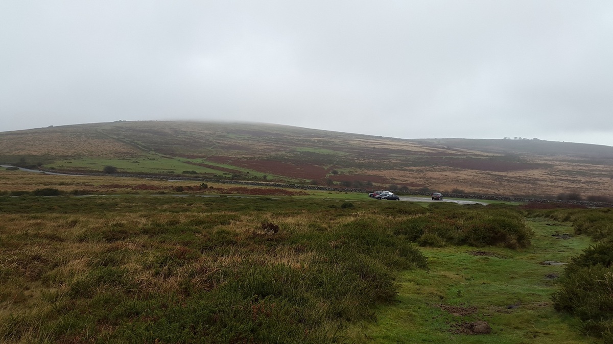
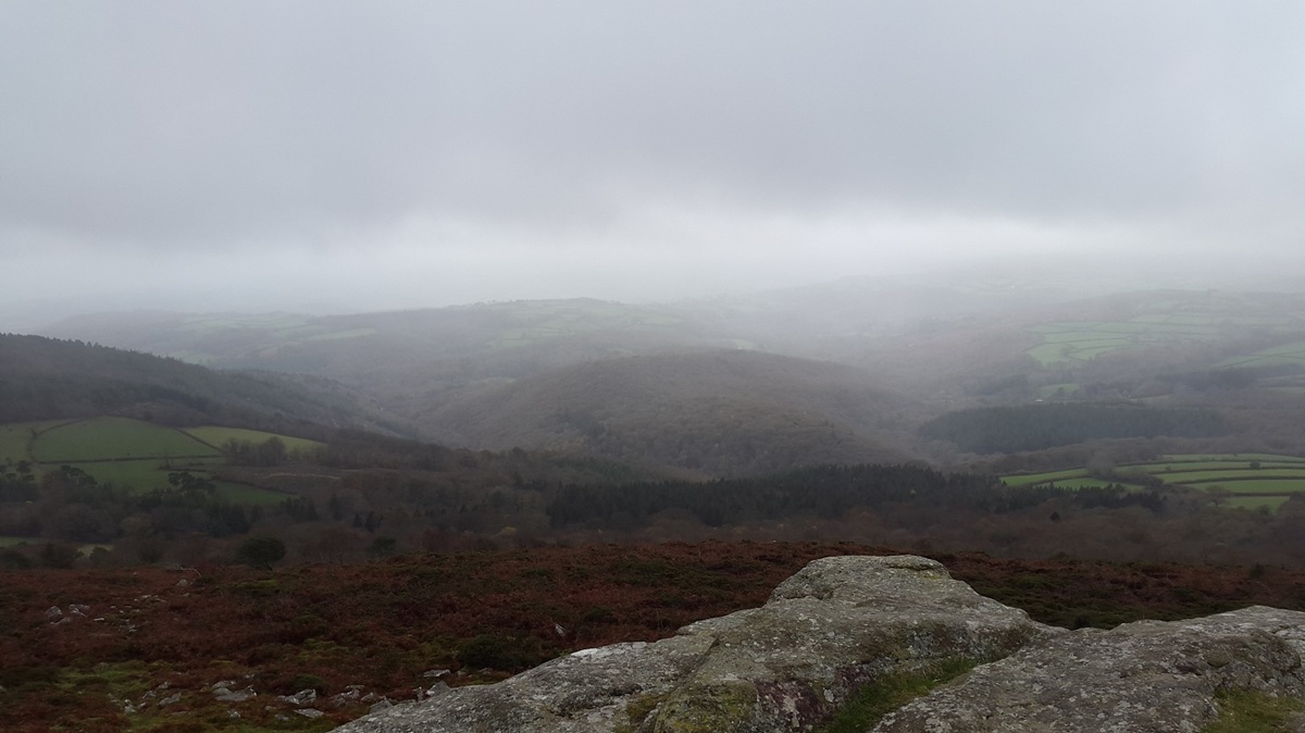
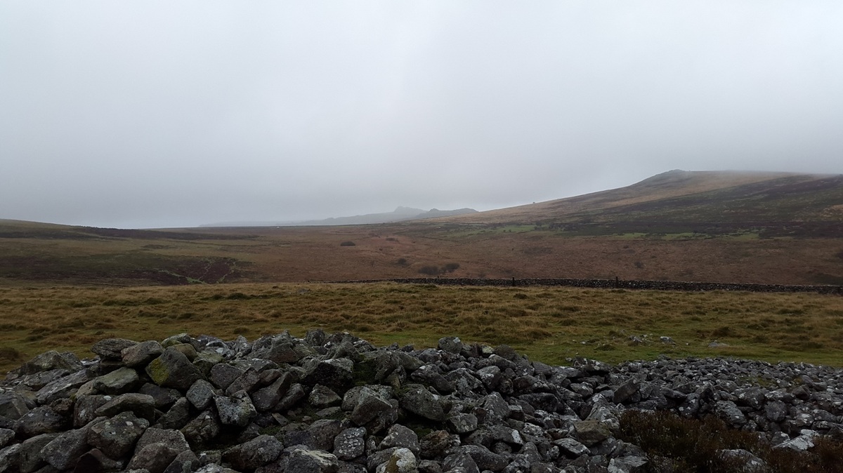
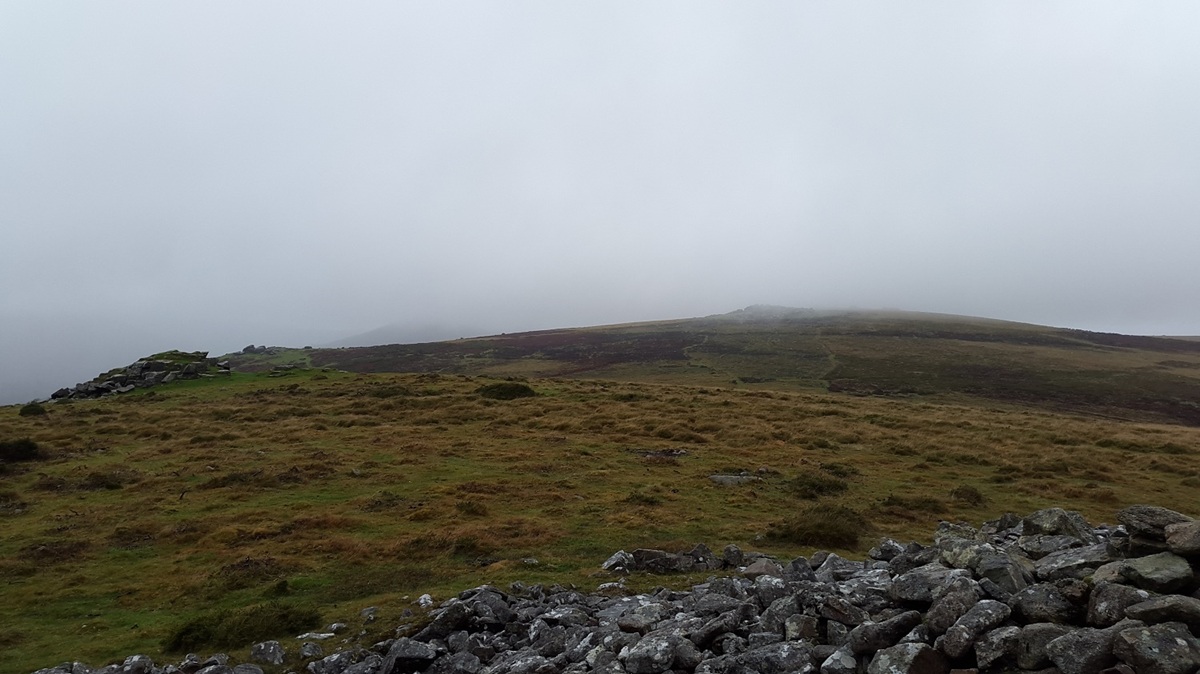
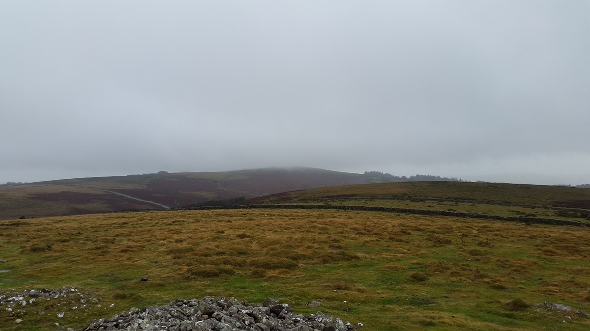
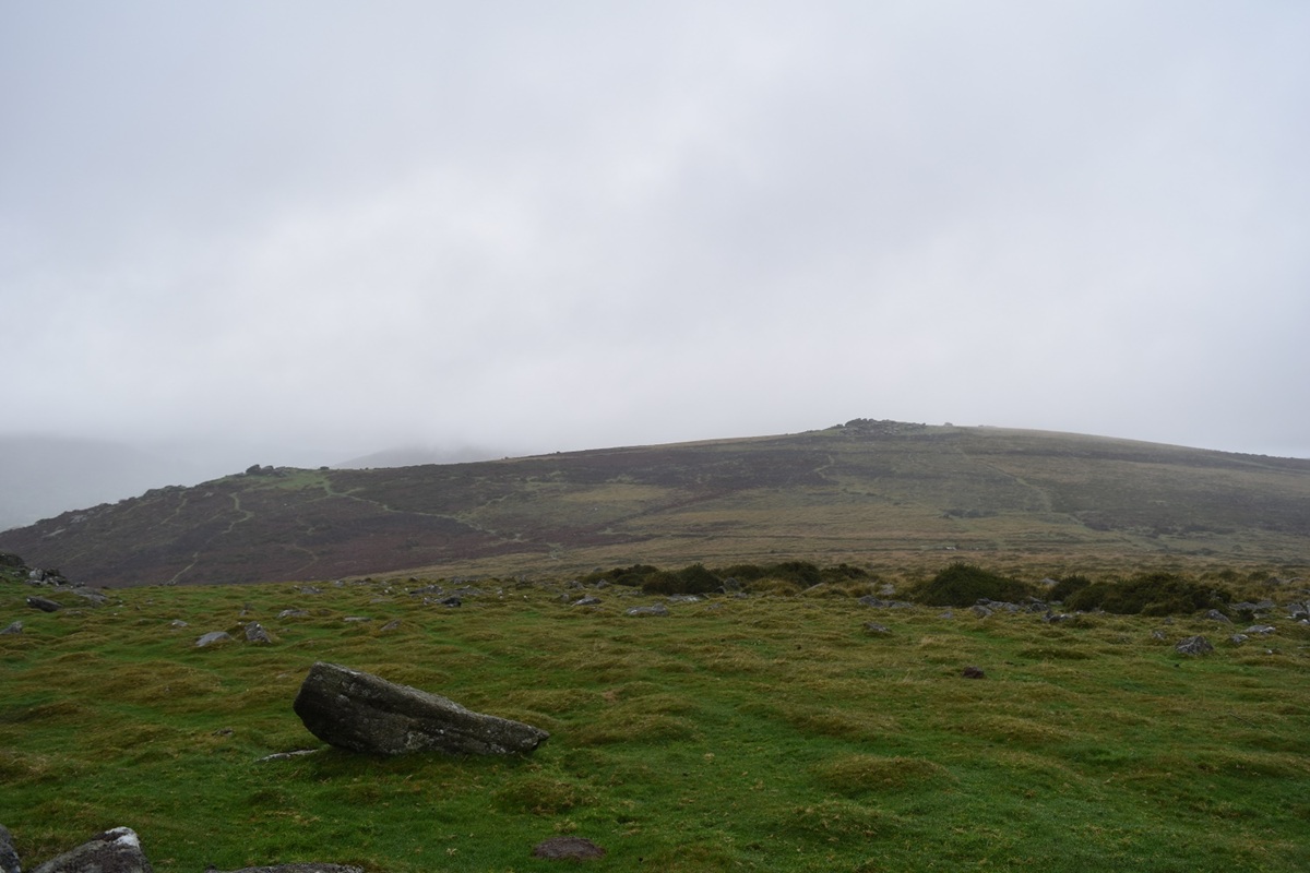
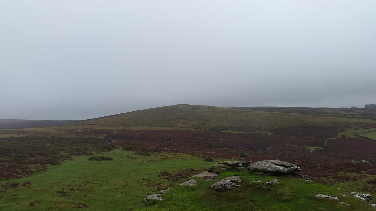
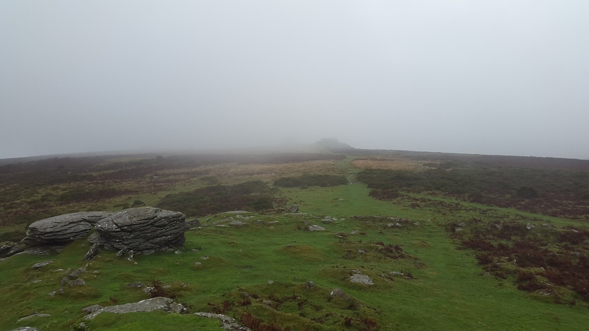
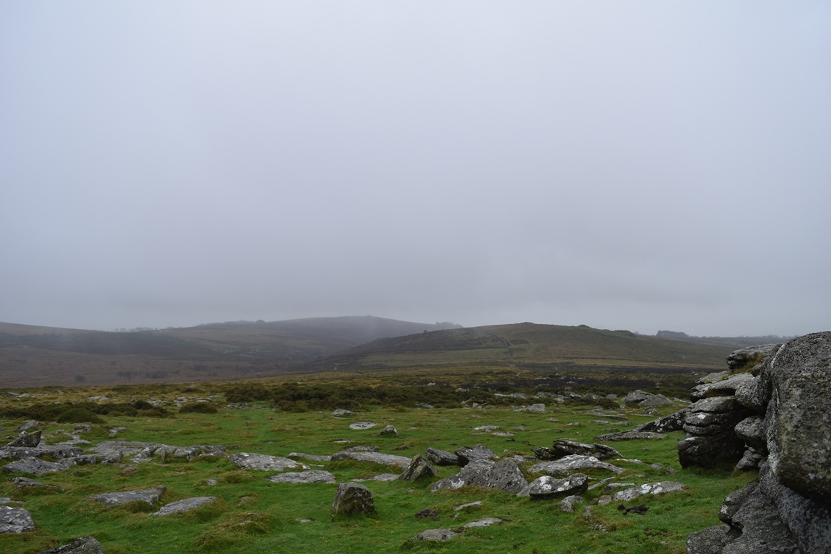
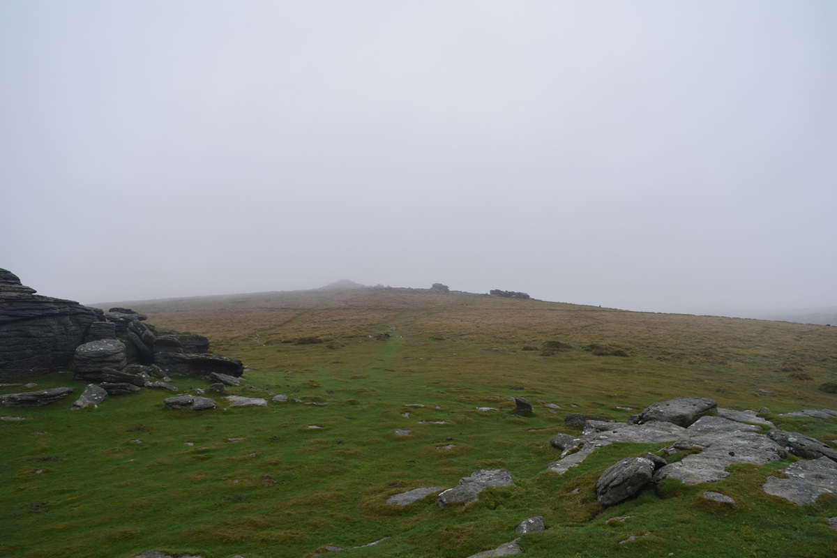
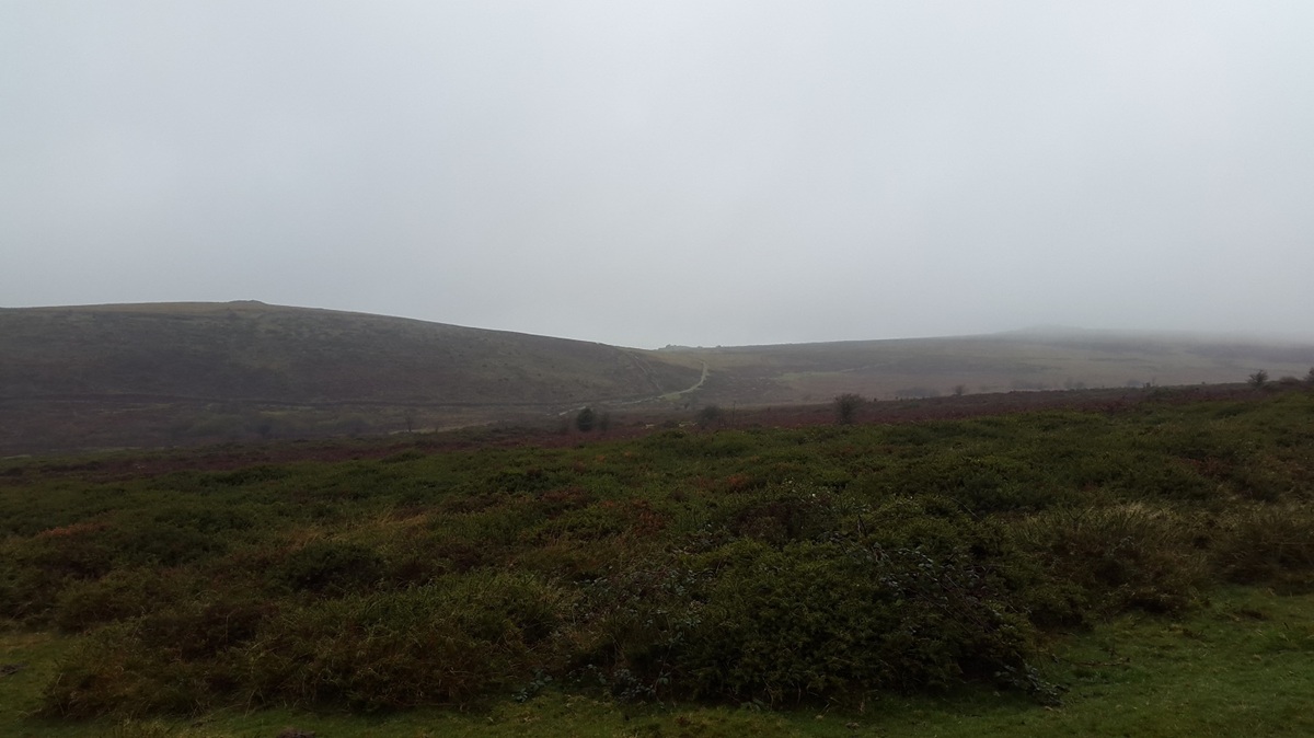
It had been over a fortnight since my last walk in The Lake District on Souther Fell and I needed to get out. The problem was in that time the rain had pounded down for 2 weeks solid and there was no sign of a halt. Enough was enough though and a simple walk around some tors near to Haytor would suffice. If the weather got really bad I could bail out at a number of spots or extend it to 10 miles if I wanted. As it was I did an easy 5 miles and washed away any rust that I had!!

Start – Cold East Cross
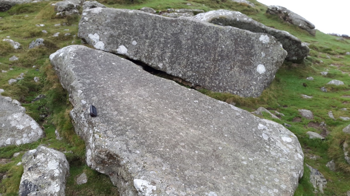
Route – Buckland BeaconTen Commandments StonesWittaburrowTunhill RocksPil Tor – Cold East Cross
Distance – 5 miles    Start time – 11am     Time taken –  4 hrs    Highest Point – Pil Tor 415m
Weather – Low cloud, drizzle, generally miserable!!

© Crown copyright 2014 Ordnance Survey FL 2014 SF
Cold East Cross car park with Rippon Tor behind, its summit just in the clouds
Wittaburrow in the centre with Pil Tor to the right (also in the clouds!)
Buckland Beacon ahead
Hmmm….rain
River Dart valley from Buckland Beacon
The Ten Commandments Stones
Leaving Buckland Beacon and another band of rain threatens
Crossing one of the brooks that lead into the Dart, I’m heading out to the left of this picture through the woods
On Wittaburrow now with Rippon Tor showing its summit, Haytor just visible in the distance
All misty on Pil Tor from Wittaburrow
Even Buckland Beacon has a cloudy top now!
Heading first for Tunhill Rocks to the left and then to Pil Tor to the right
Wittaburrow from Tunhill Rocks
Good job Pil Tor isn’t far!
On Pil Tor with Wittaburrow and behind left is Buckland Beacon
Top Tor…… just
Wittaburrow left, Tunhill Rocks can just be seen in the dip centre with Pil Tor in the cloud again right as I reach the car after having enough for today.

Leave a comment

This site uses Akismet to reduce spam. Learn how your comment data is processed.