This was to be my big walk of the week and it didn’t disappoint. I’d neglected the Far Eastern Wainwrights during the 80 odd I’d done so far and decided this holiday to put that right. I’d fashioned two walks of 5 and 7 fells each, one that took in Steel Fell, Wether Hill, Loadpot Hill, Arthurs Pike and Bonscale Pike, with another that went around Brock Crags, The Nab, Rest Dodd, Rampsgill Head, High Raise, Kidsty Pike and The Knott. I’d plumped for the latter walk however once on the fells, I realised I’d spent too long in bed this morning and too long taking photos of inversions on the way to Hartsop!! This meant that Kidsty Pike and High Raise will need to wait until I go up High Street, plus my legs weren’t quite ready for the steep ascents of Brock Crags and Rest Dodd and they then failed me when trying to get to Rampsgill Head, meaning lots of stops and snacks!! Still the weather was as good as I’ve had in the Lakes, the views were crisp and the noise of the deer rut an ever present sound throughout. The sight of a hundred deer running 100 metres from me across The Nab is one I’ll remember for a while. I’m heading back next year for sure.
| Start – Hartsop |
| Route – Brock Crags – Satura Crag – The Nab – Rest Dodd – Rampsgill Head – The Knott – Hayeswater Gill – Hartsop |
| Distance – 8 miles Start time – 9.30am Time taken – 6hrs Highest Point – Ramspgill Head 792m |
| Weather – Beautiful crisp morning, lovely sunshine, inversion over Ullswater. Clouded over later |
© Crown copyright 2016 Ordnance Survey FL 2016 SF

We were staying in Keswick and this was the view from the end of the road of the inversion over Derwent Water

As I headed out along the A66 I could see this inversion creeping out of St Johns in the Vale

Having driven through an inversion over Ullswater I arrived at Hartsop. Here I’m looking back along the path to another smaller inversion over Brothers Water

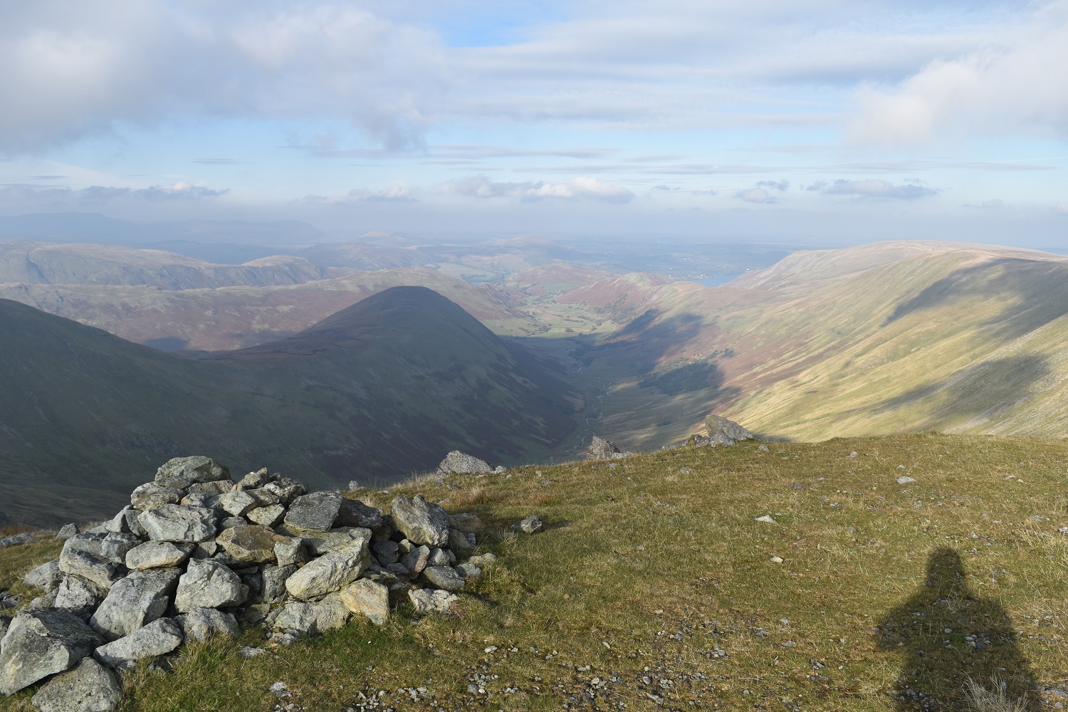
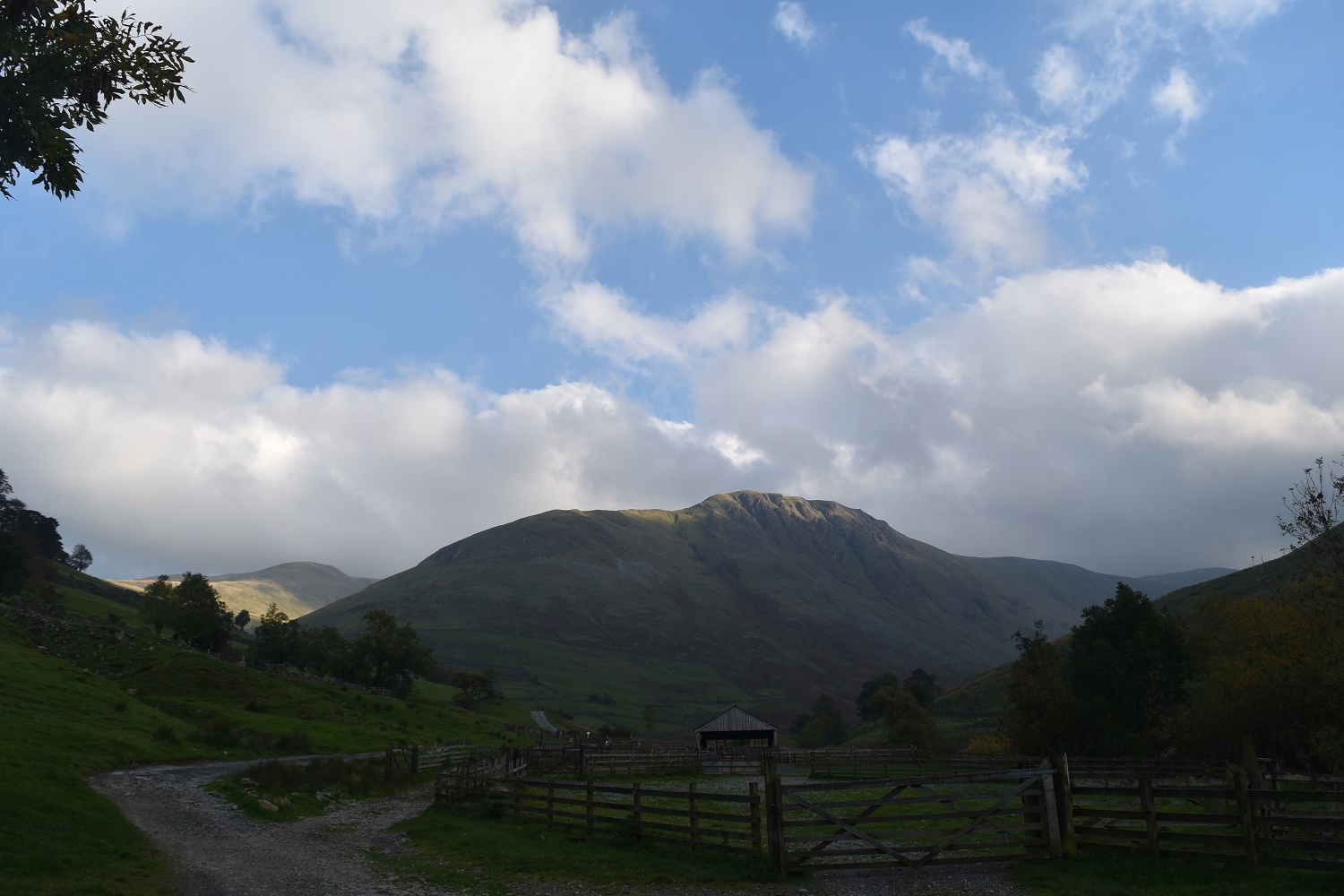
Threshwaite Mouth at the far end, Caudale Moor on the right and Thornthwaite Crag left. The fields nearer are part of Pasture Bottom (snigger!!)

The dark shadow on Grey Crag right and The Knott in the sunshine, that’s my last fell today

Blimey, that was hard work up the zigzag from Hayeswater Gill. I’m at the pointless gate looking to Grey Crag on the left and Caudale Moor to the right

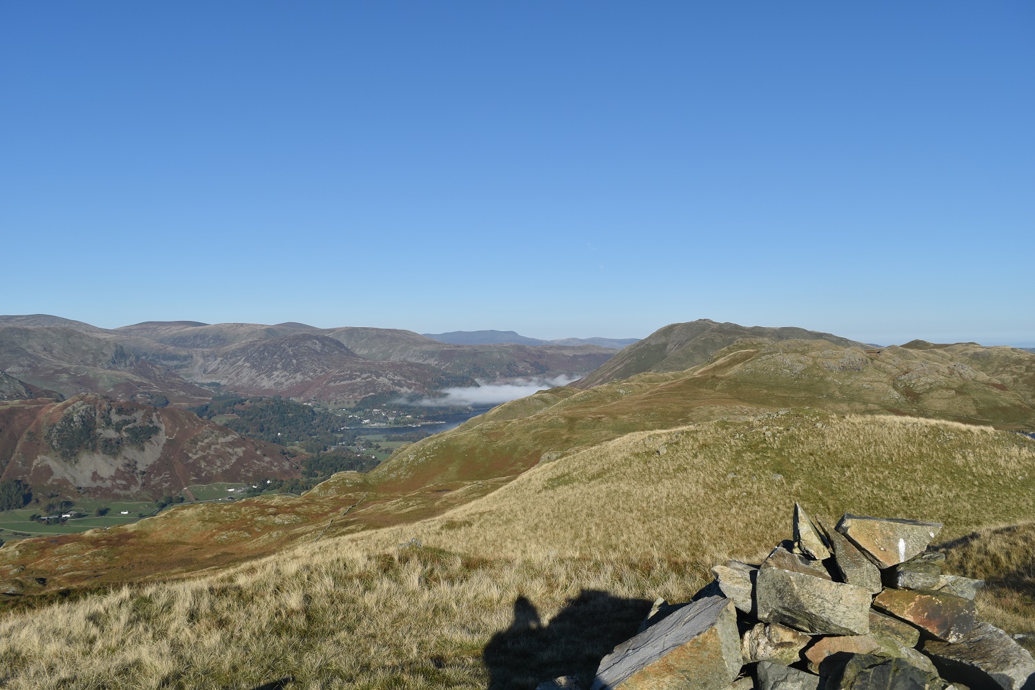
The air clarity was superb here on Brock Crags summit. St Sunday Crag is middle left with the pointy Catstycam further right

Brothers Water below with the Hartsop above How ridge running from right of picture up to Dove Crag
The cloud is still lingering over Ullswater. The village of Glenridding just visible to the left of the cloud

The shapley Grey Crag from Brock Crags

Angle Tarn and the Angletarn Pikes
A bit of zoom brings out the flat topped Fairfield and Hart Crag to the left, the weather was fantastic at this point with dozens of fells in clear view
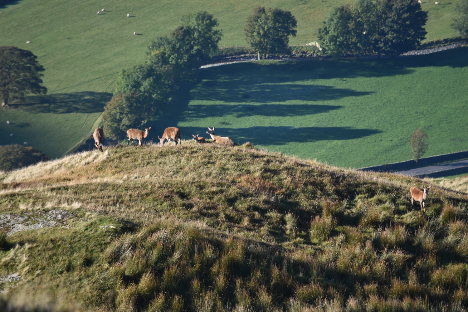
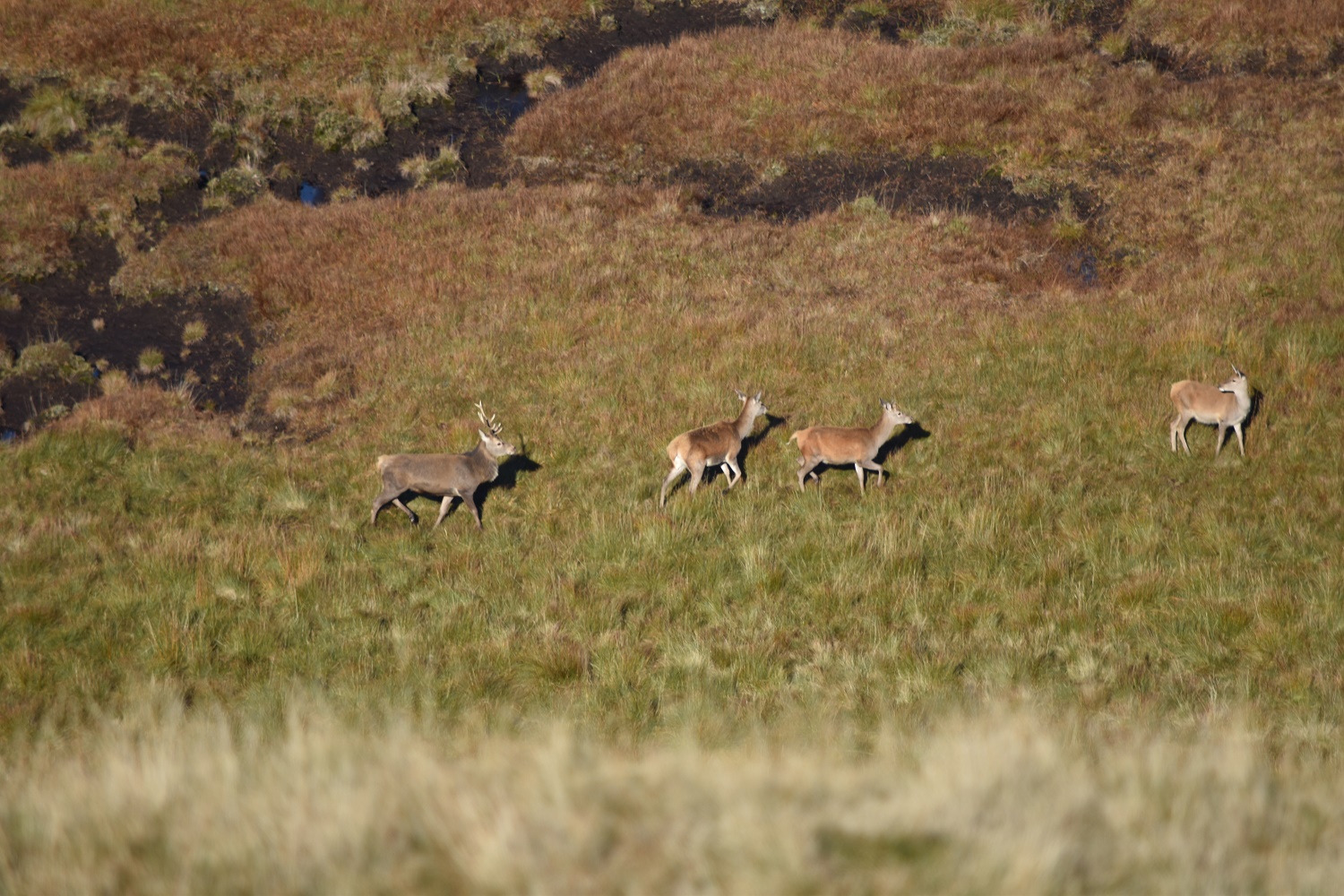
Below me a group of deer were warming up for the day, behind me I’d heard the rut and the stags announcing their presence for the last hour, little did I know at this time that I’d get better views of the herds.

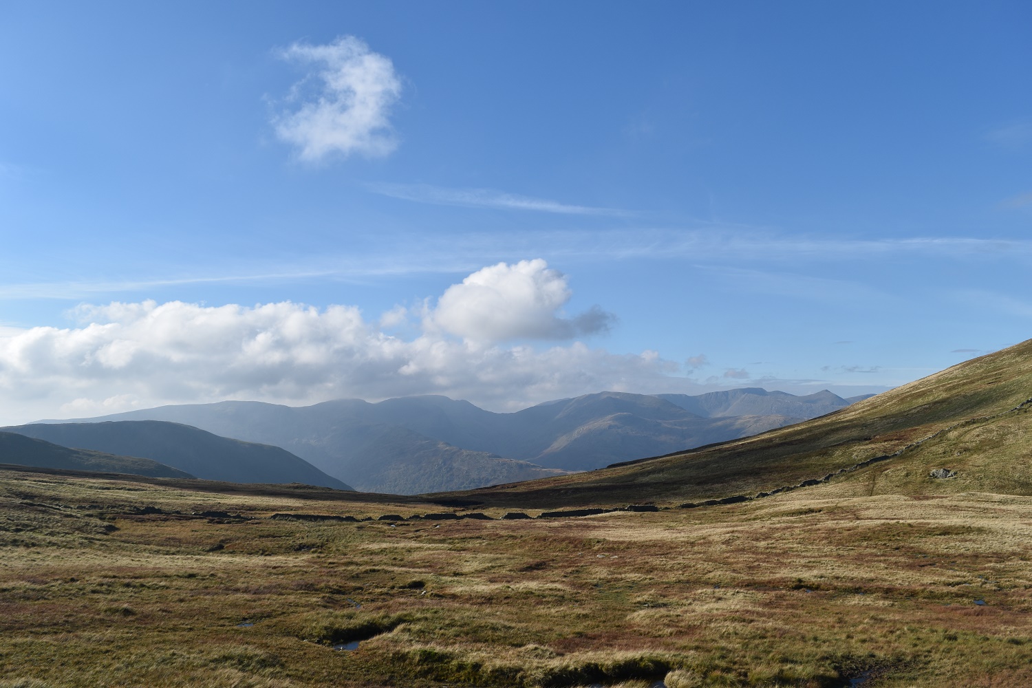
Having passed Satura Crag I get this view along Bannerdale with The Nab in sun on the right hand side, that’s my next objective. The inversion over Ullswater is in the distance behind Beda Fell

Looking back to Brock Crags with that backdrop of Eastern Fells
Another herd of deer on the side of Angletarn Pikes

Traversing the peat hags of The Nab I look across to Beda Head with the backdrop of Helvellyn

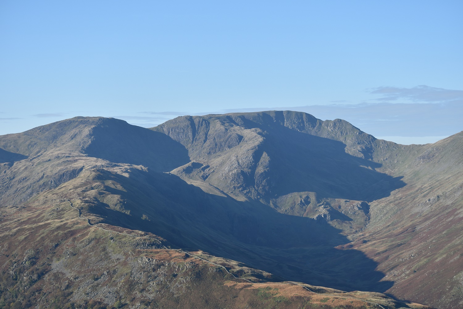
On The Nab you get a great view of Helvellyn and its surrounding edges. Striding Edge runs from right to left across the middle of the photo, with Catstycam the pointy fell

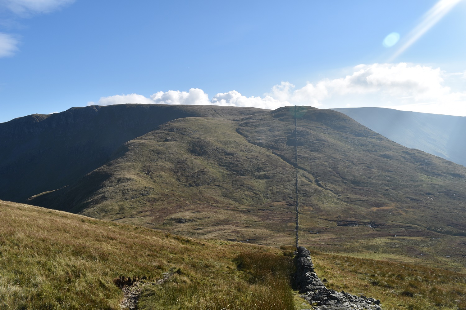
Looking back from The Nab to Rest Dodd which looks a tough climb from here

I’m at the bottom of Rest Dodd here, looking down to Rampsgill. Wether Hill opposite

The Nab from the same spot, the brown areas are the peat hags

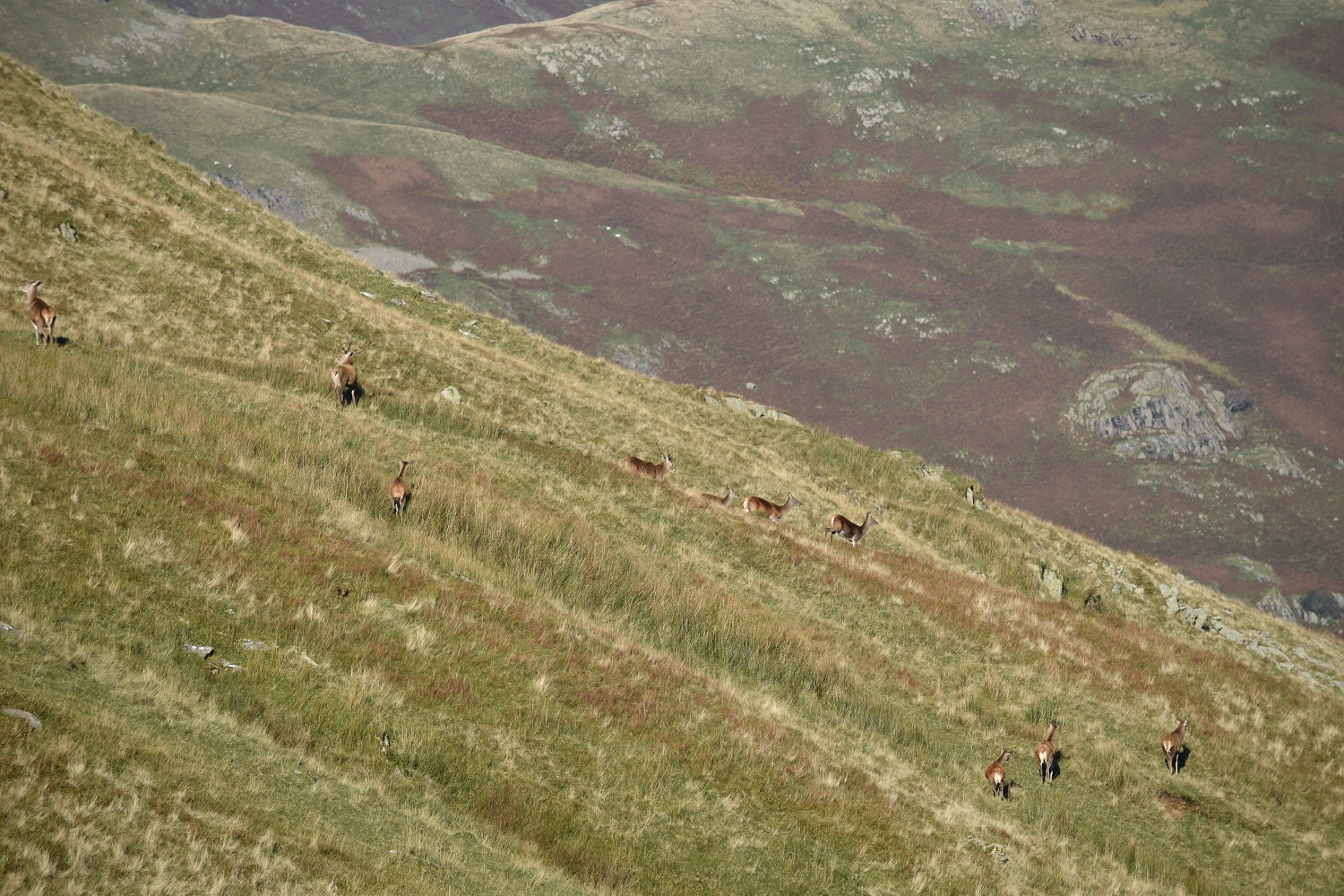
I then spotted some deer running across The Nab below me, I counted to 70 and gave up!!
The stag at the back of the herd was making sure everyone around knew he was boss! The noise of the rut was an ever constant and a glorious sound.
Rest Dodd summit looking to The Nab
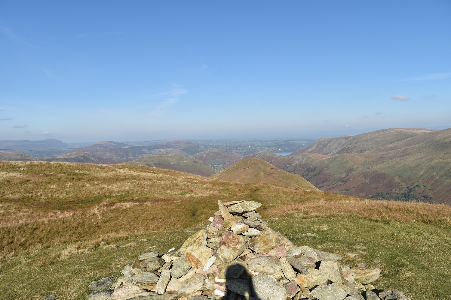
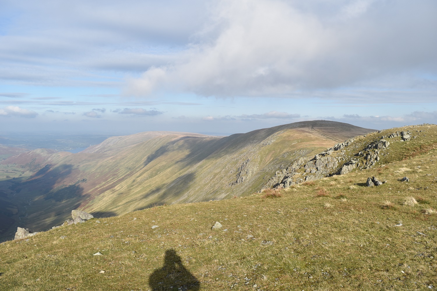
Rampsgill Head with the Knott to the right. Cloud builds behind High Street
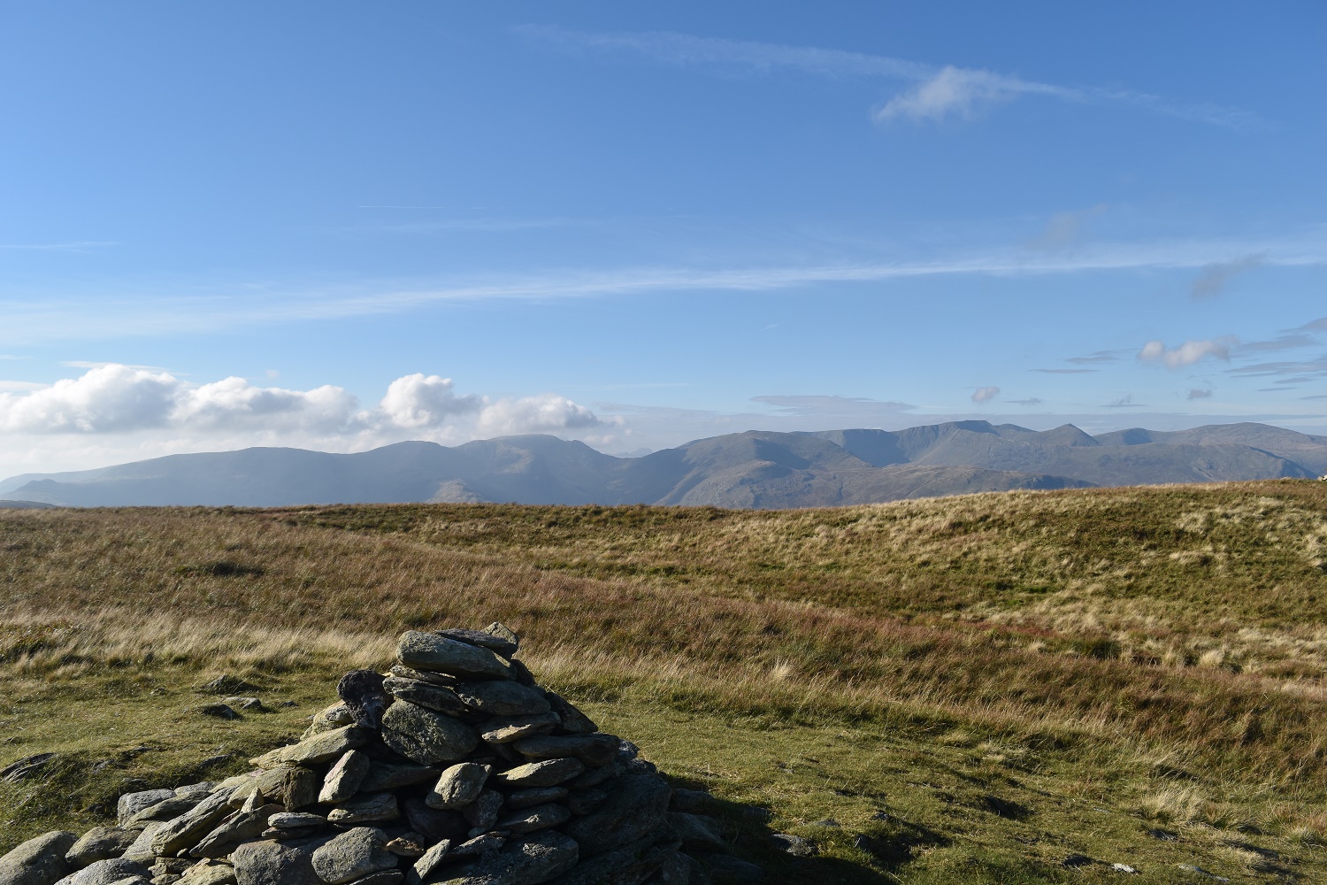
The Eastern Fells from Rest Dodd, to this point the weather had been picture perfect
The wall the joins Rest Dodd to The Knott, I am heading over to the left though to keep the view down into Ramps Gill
My legs were a bit tired at this point so I sat here eating some lunch looking at the cloud building over Fairfield and………….

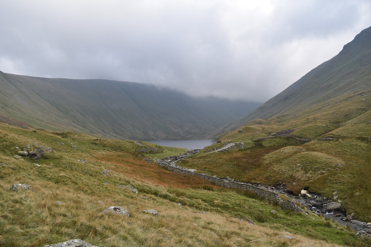
…….with this fantastic view down into Ramps Gill. The Nab to the left and the Wether Hill ridge to the right
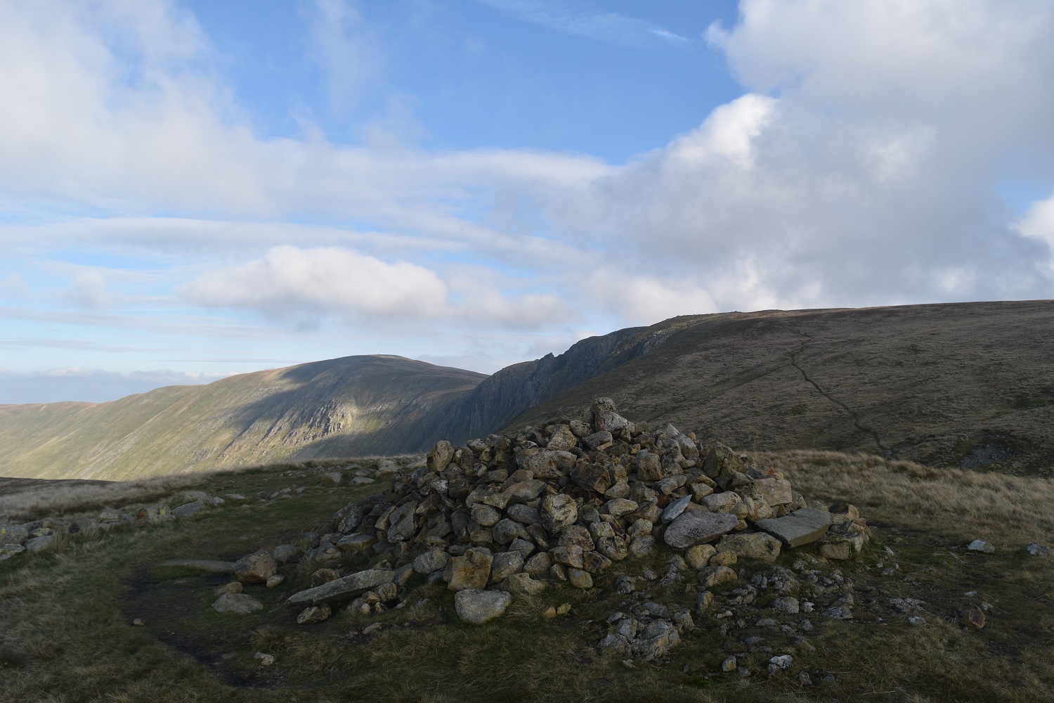
Rampsgill Head summit
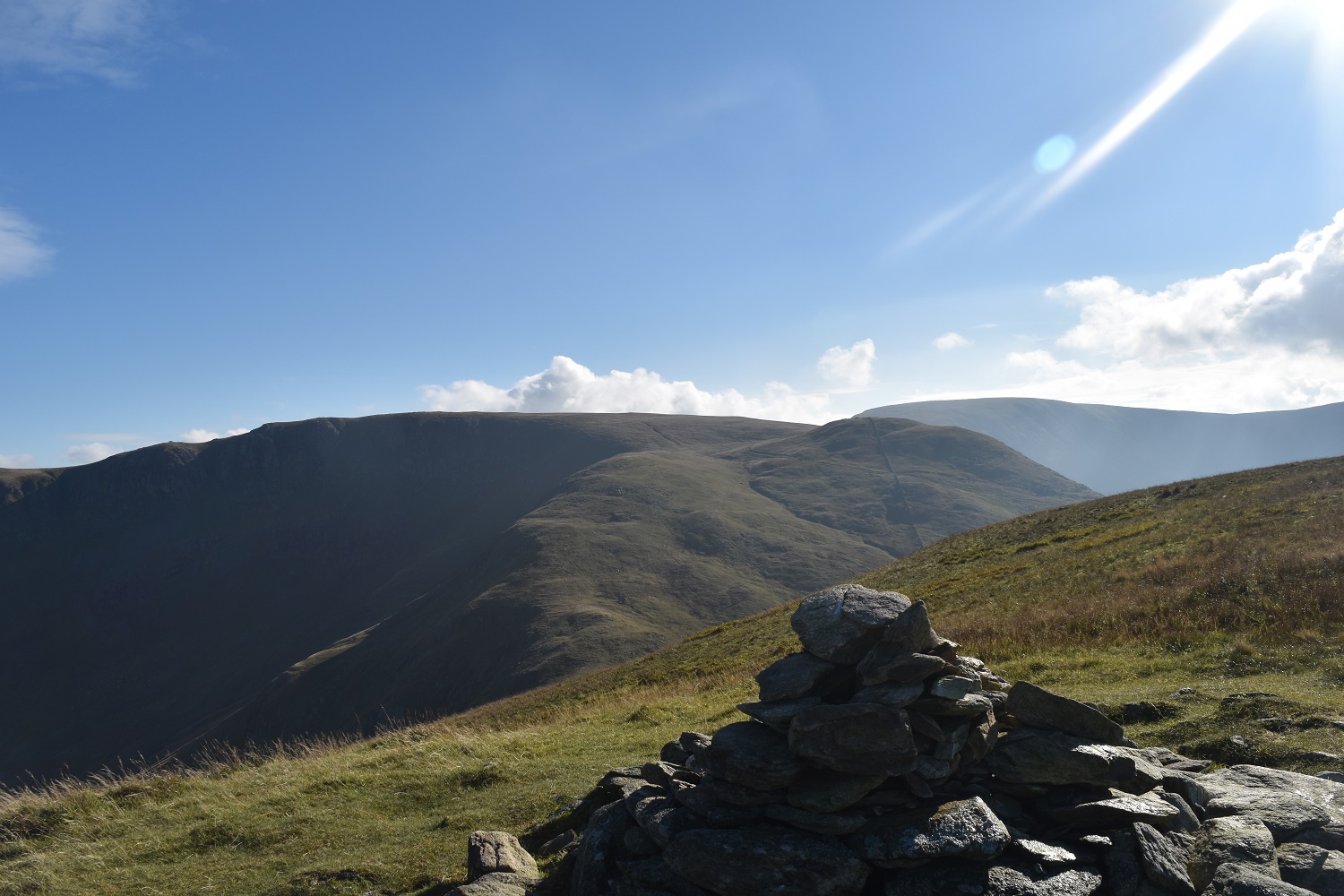
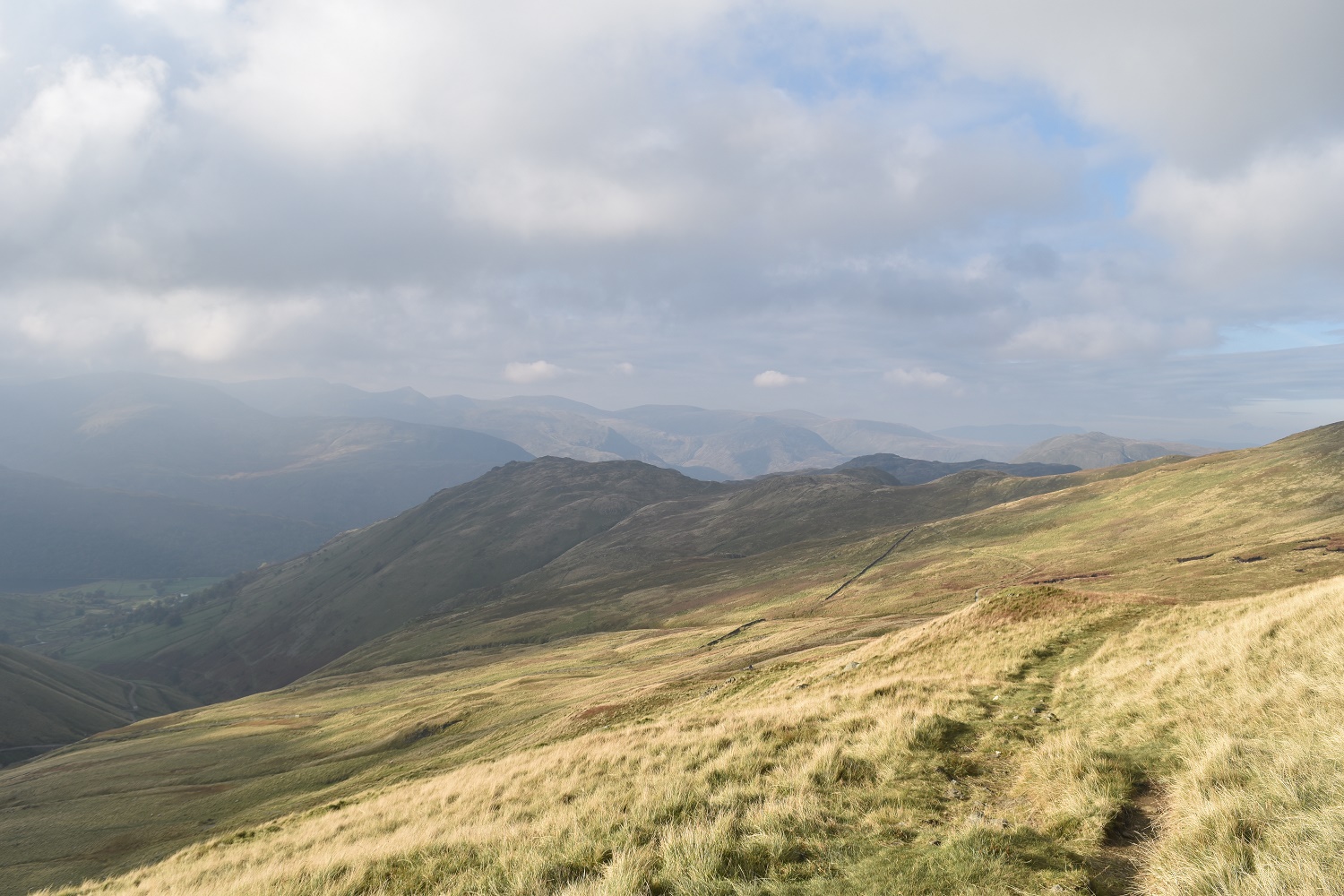
High Raise (Mardale) from Rampsgill Head, however I’d decided that I’d cut the walk short to ensure I got back to the car in good daylight as it was around 2pm at this point

Rest Dodd in cloud now as the weather begins to close in
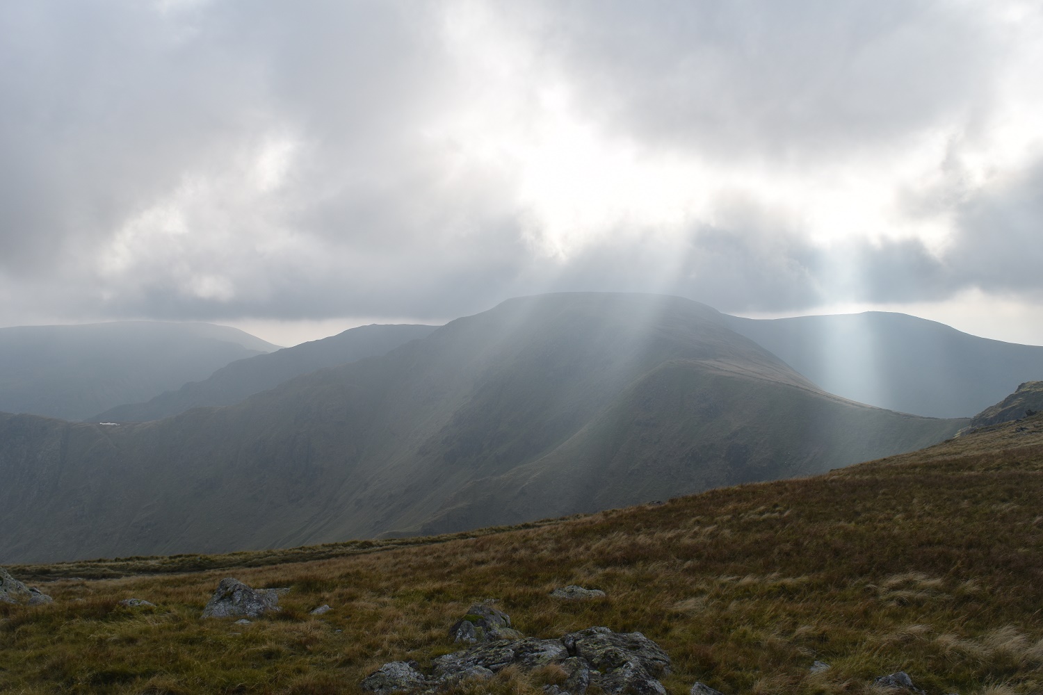
Shafts of sunlight pierce the clouds over High Street

Kidsty Pike, only a ten minute walk away from Rampsgill Head, however I’d decided at this point to include it in a walk with High Raise and High Street so it wasn’t for today
On The Knott now looking back up to Rampsgill Head with High Raise catching the sun behind

A small part of Hayeswater below with High Street up to the left

Rest Dodd and The Nab (in the sun) from The Knott
I pick up part of the coast to coast route on the way down from The Knott, here looking across to Brock Crags, my first fell today
Down at the outflow from Hayeswater as the cloud drops down on High Street behind

The Knott at the back as I follow the good path down from Hayeswater
Grey Crag to finish as I reach the car park at Hartsop


