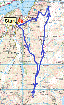
The roman road over High Street is famous around the country for traversing the 828 metre peak of the same name. It connected the two roman forts of Broughton (near Penrith) to Galava (near Ambleside) and took its route due to the marshy and wooded valleys on the normal route, which were prone to ambush. This walk manages to traverse a fair portion of it, from High Raise (Martindale) in the south going northwards to near Arthur’s Pike. In good weather this is a good walk over fairly easy ground with little descent and ascent to worry about, once you are on High Raise itself. To reach the ridge the walk over Steel Knotts is steep to start, but after that it is a fine walk with great views into Bannerdale. On this walk the weather looked to be playing ball to start with, however the weather forecasters got it completely wrong (they forecasted that it would clear completely in the afternoon) and the cloud dropped at midday and my time on High Raise was in cloud for the main. Still it cleared a bit to finish with and the views from Bonscale Pike are a great way to end, although the steep descent down the zigzag path is not easy in damp weather. Still this walk pushes me to 116 Wainwrights, leaving less than 100 to do!!
| Start – Martindale new church car park |
| Route – Steel Knotts (Pikawassa) – Gowk Hill – Red Crag – Raven Howe – High Raise (Martindale) – Raven Howe – Red Crag – Wether Hill – Loadpot Hill – Arthur’s Pike – Bonscale Pike – Mellguards – Martindale new church car park |
| Distance – 10 miles Start time – 11am Time taken – 6 hrs Highest Point – High Raise (Martindale) 802 metres |
| Weather – Glorious to start, cloud came down on Red Crag and stayed down until I left Loadpot Hill, it then lifted to leave grey cloud |
© Crown copyright 2017 Ordnance Survey FL 2017 SF

Martindale New Church with Steel Knotts in view through the tree. The path starts pretty much at this point

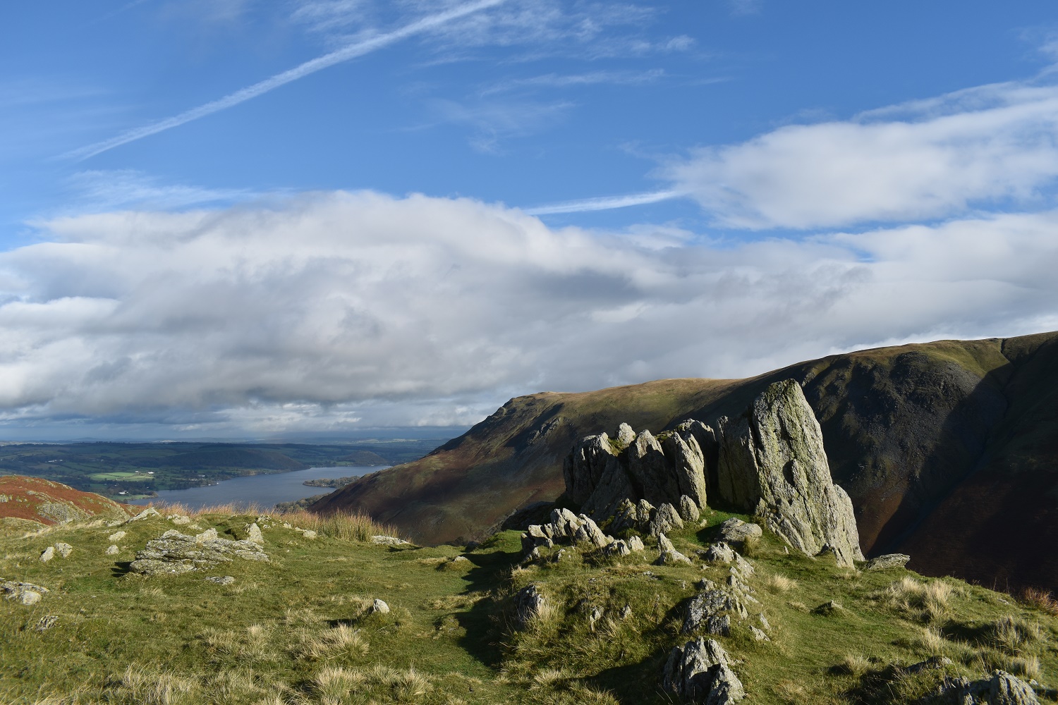
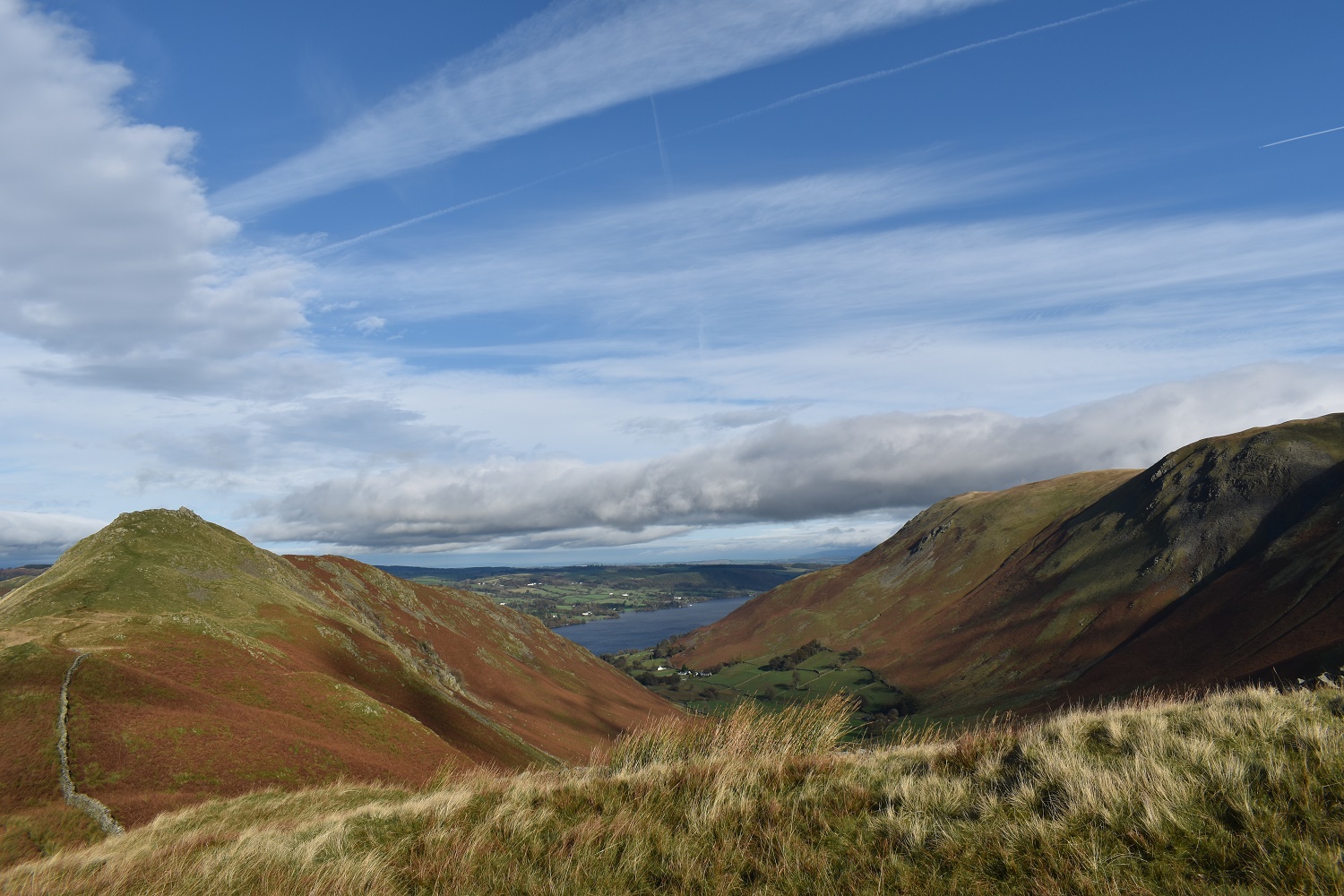
Bit of height gained and a view of the northern end of Ullswater. Bonscale Pike on the right
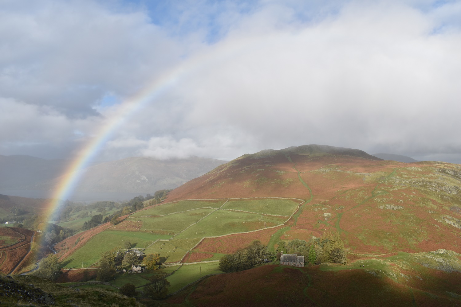
Rainbows over Hallin Fell. There was plenty of blue sky at this point and I had high hopes of a good weather walk
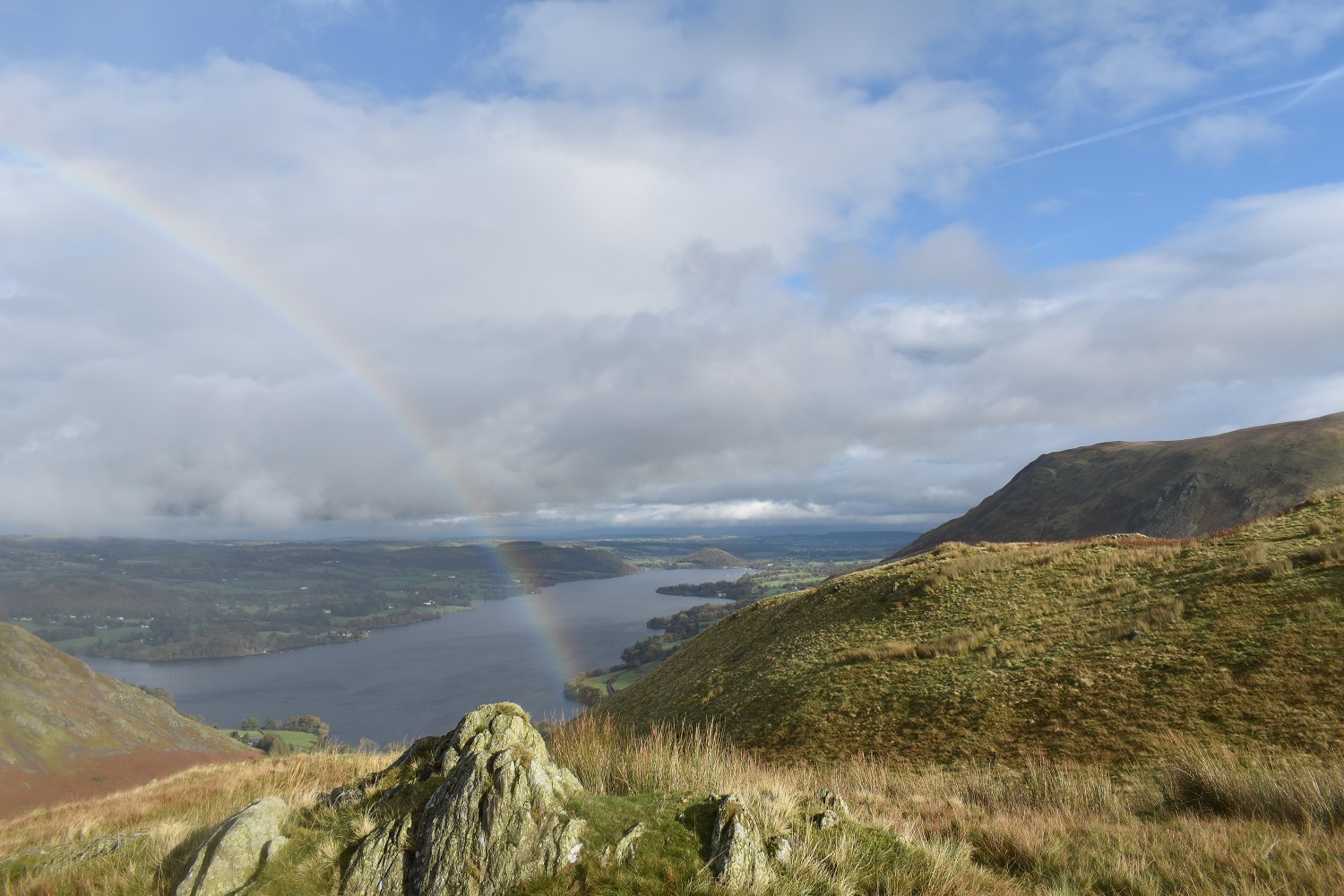
The other end of the rainbow and Ullswater
The summit of Steel Knotts is this rocky outcrop called Pikawassa

The Nab in the centre looking very misty, with Ramps Gill left and Bannerdale to the right. It was lovely up here at this point

Gowbarrow Fell across Ullswater from Pikawassa
A view along Fusedale, with Steel Knotts left and Bonscale Pike right. At this point I realised that any hope of hearing the yearly deer rut in this area was not going to happen. The breeze was strong enough to wash out any of the calls from the deer, which was a shame.
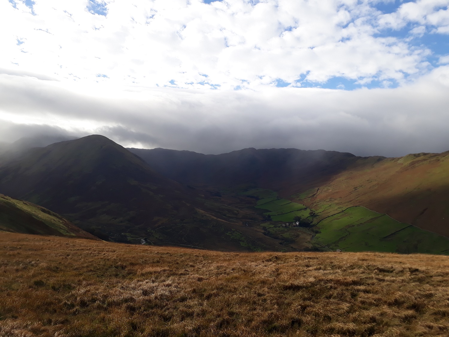
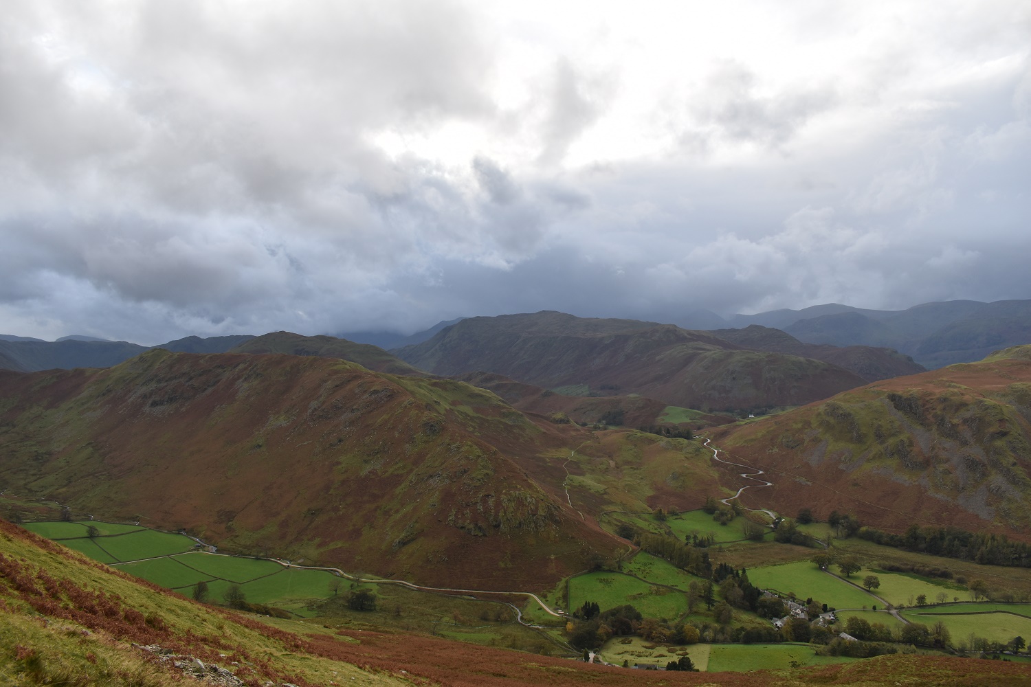
It looks a little darker over in Bannerdale now with the cloud looking to pour into the valley

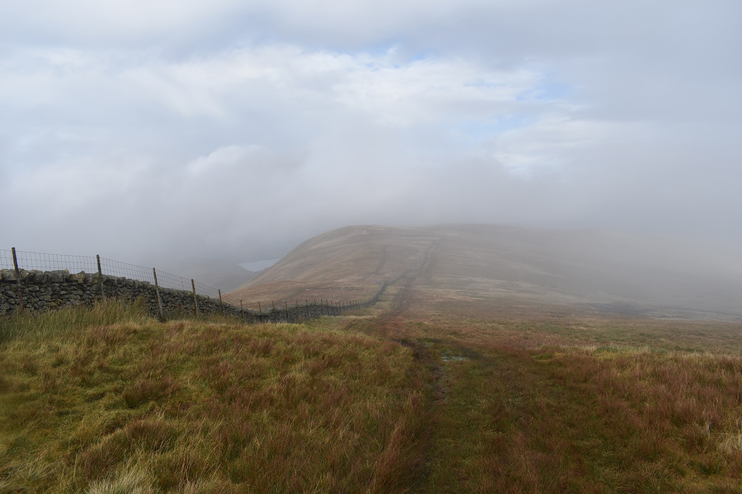
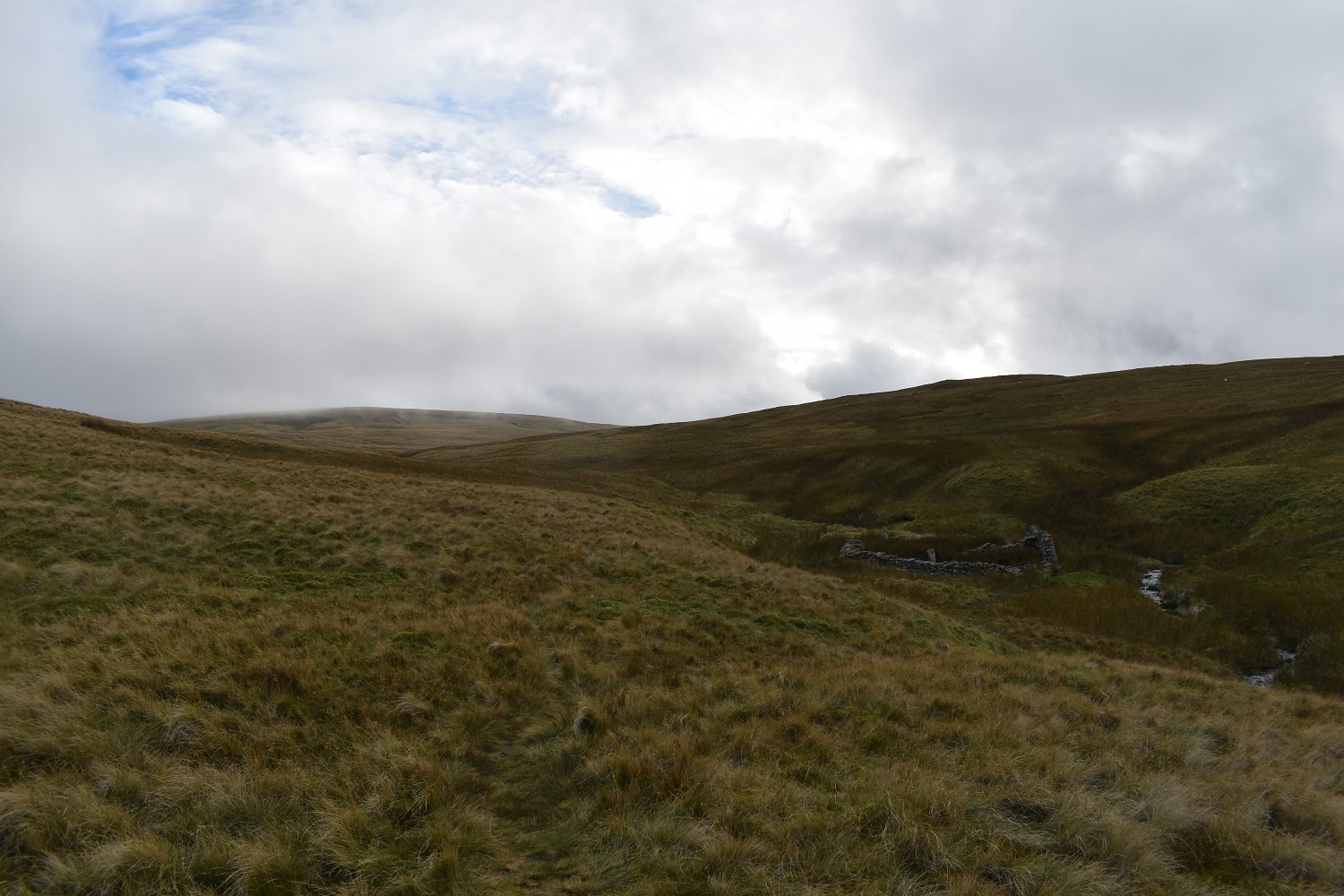
I was on the roman road at this point and decided that an out and back to High Raise would be possible as I had time. I’d missed High Raise last year, when sat on Rampsgill Head feeling tired, so I thought I would rectify that. So off I went, this is looking back to Wether Hill where I will be in about an hour or so

Heading over Red Crag, this happened!! With High Raise being swallowed by the clag

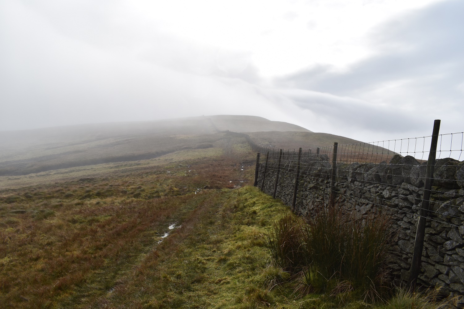
At least you get some reassurance that you are on the right path
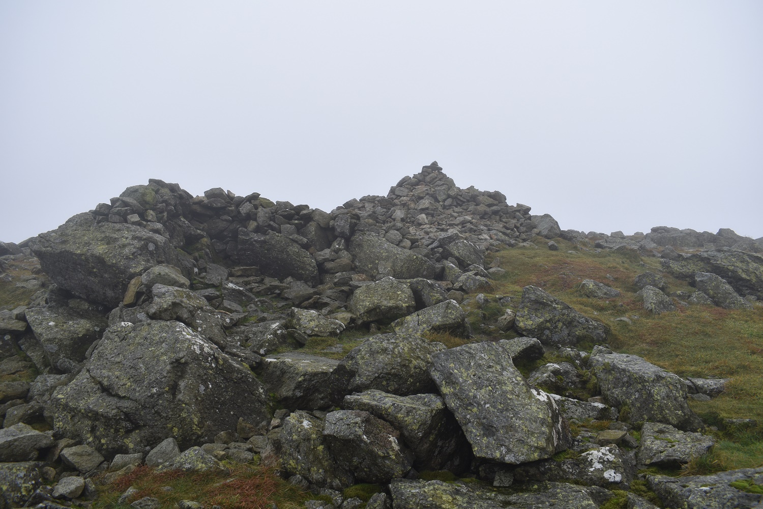
Wainwright 2 of 6 today. High Raise (Martindale)
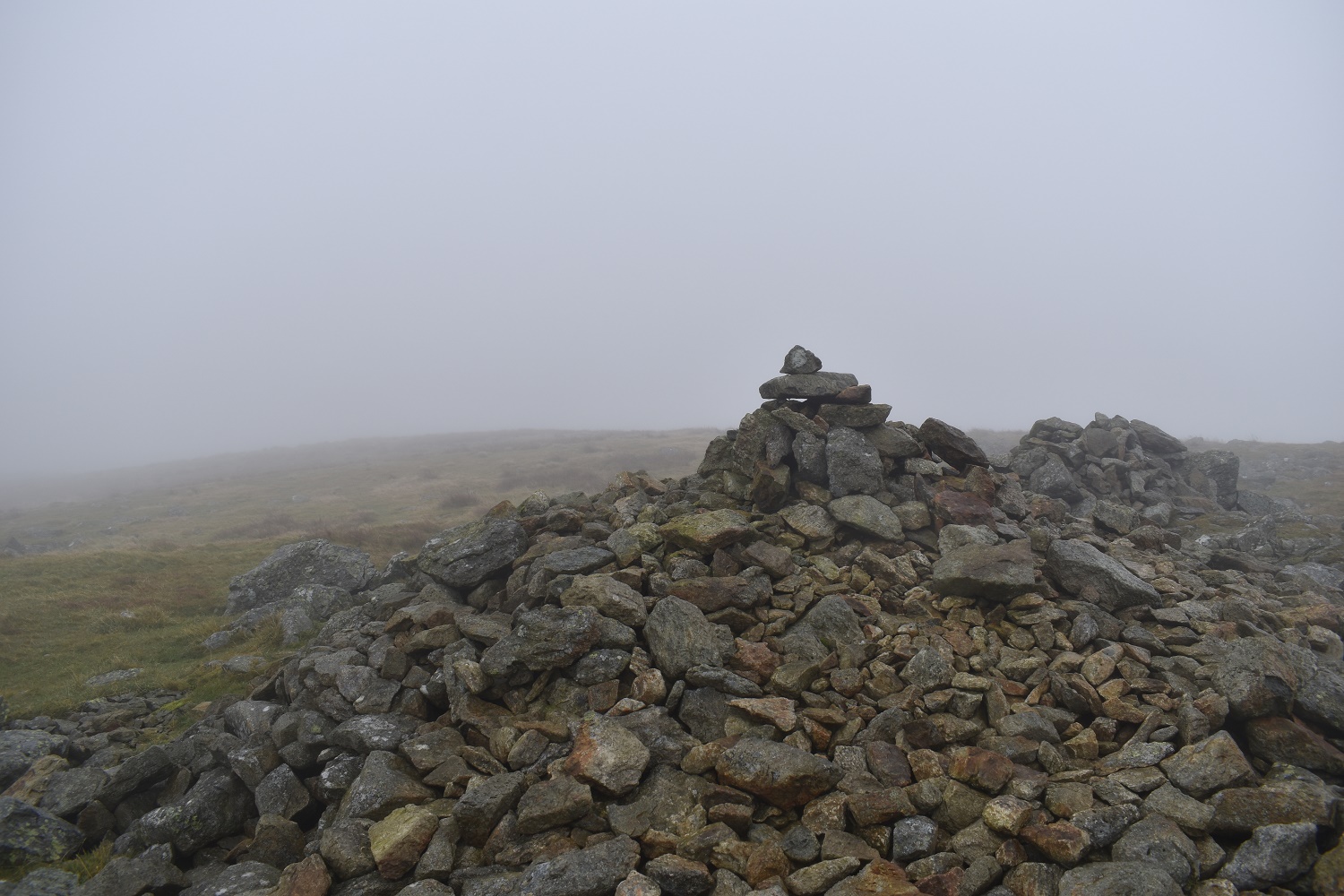
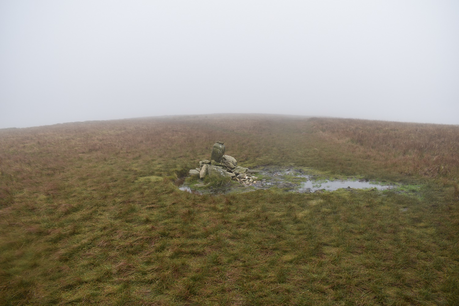
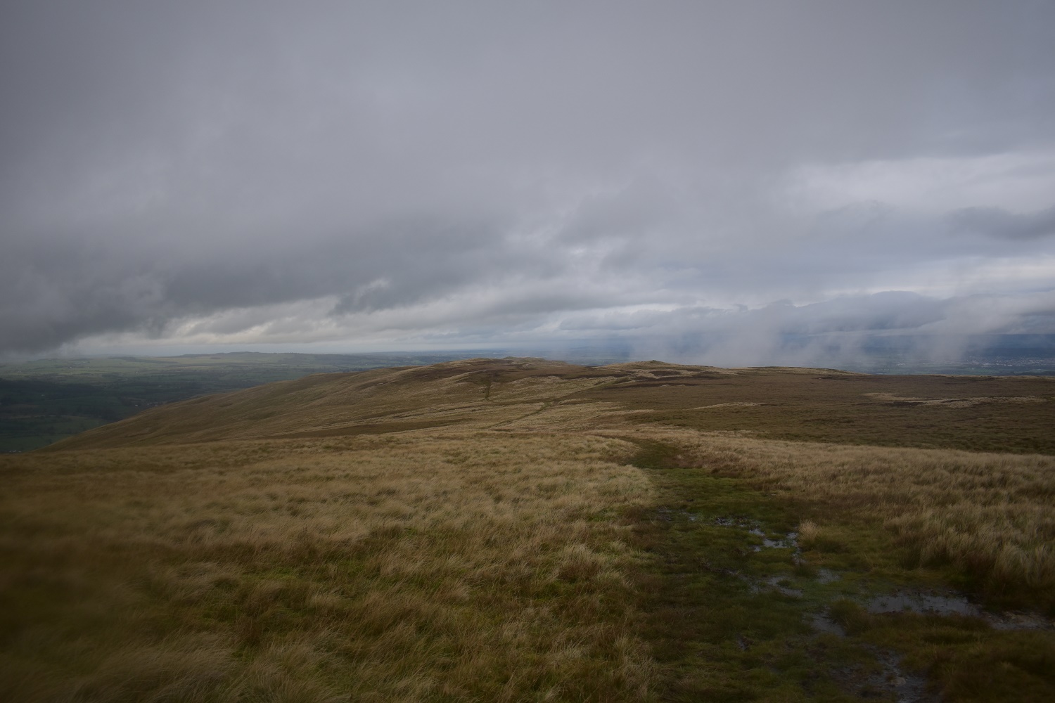
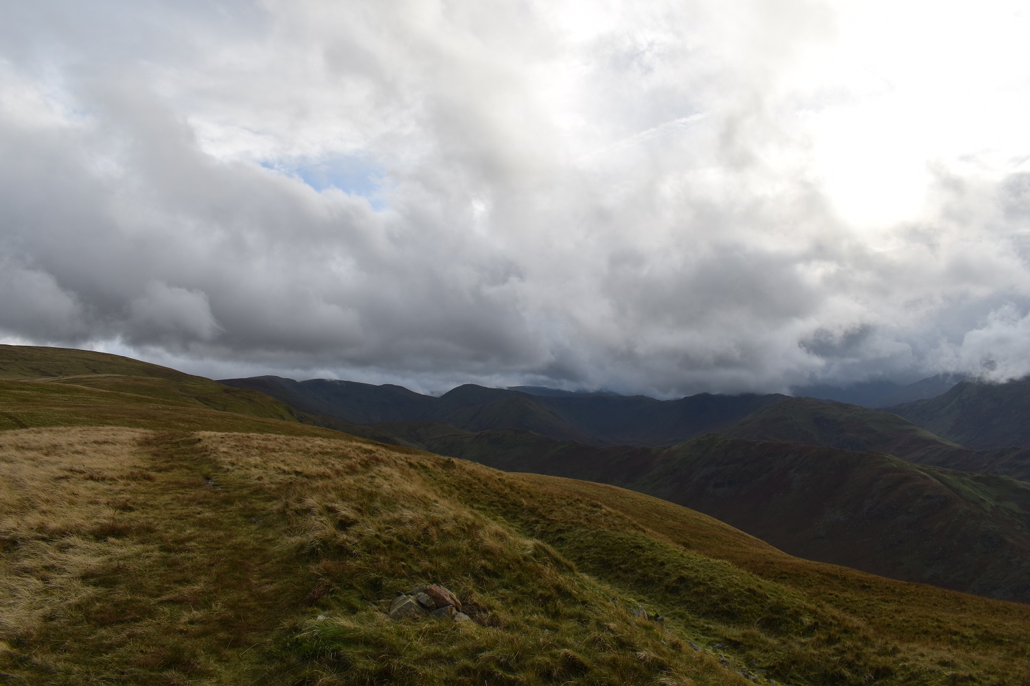
No views to Wether Hill today
Heading down from Raven Howe the cloud suddenly broke to give views to Red Crag ahead and a barely visible Ullswater above the wall
Looking back up to High Raise

High Kop catches the sun to the left
The breaks kept coming as I walked over Red Crag however it never cleared from Wether Hill, so it was a murky walk to the summit
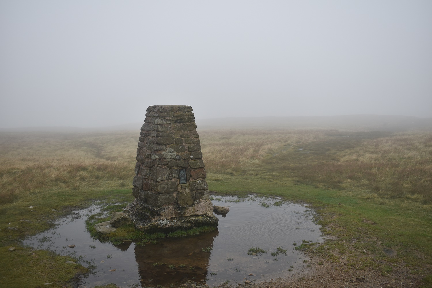
If anything it was worse on Loadpot Hill with no views from the trig point

The cloud starts to break as I descend to Arthur’s Pike ahead to the right. Bonscale on the left
A clear way to Arthur’s Pike
Ullswater as I arrive at Arthur’s Pike and a bit of sun

The Mell Fells from Arthur’s Pike

Sun’s out again (for a brief moment!!), as the fells on the other side of Ullswater start to clear as well
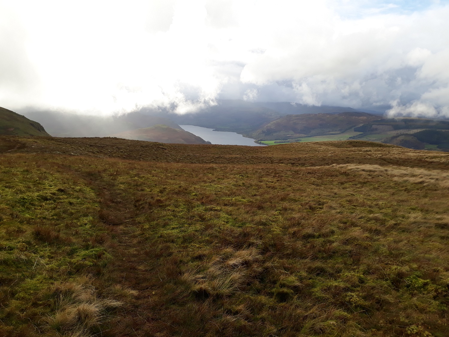
There’s a decent path that contours between Arthur’s Pike and Bonscale Pike, crossing a gill. I’m about half way at this point
I’m heading for the sheepfold down there and I see that Loadpot Hill has cleared now
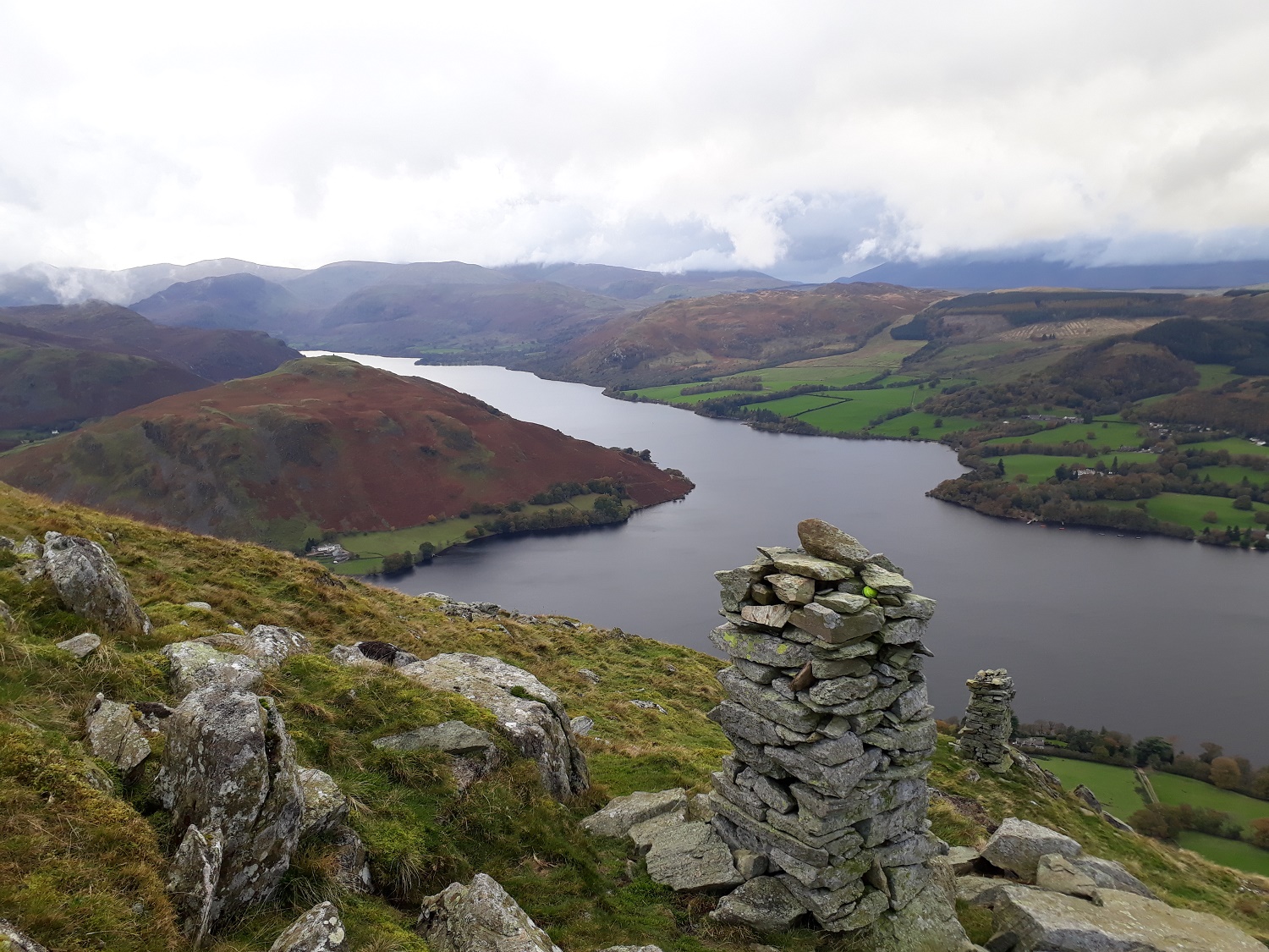
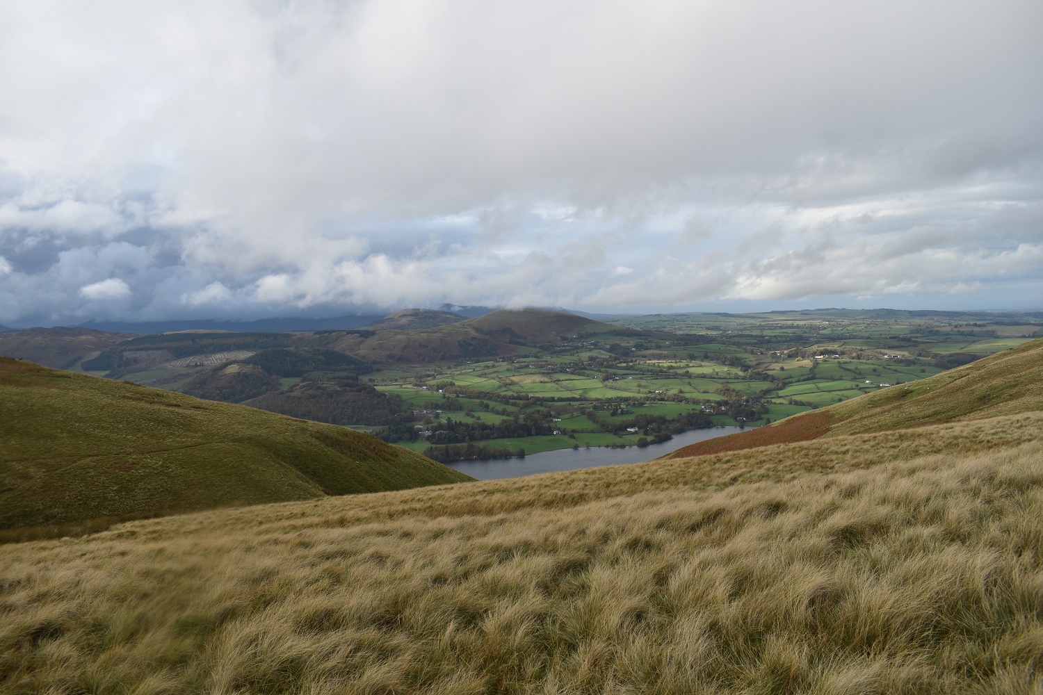
A proper good view down over the Bonscale towers to Ullswater. Hallin Fell all in brown to the left
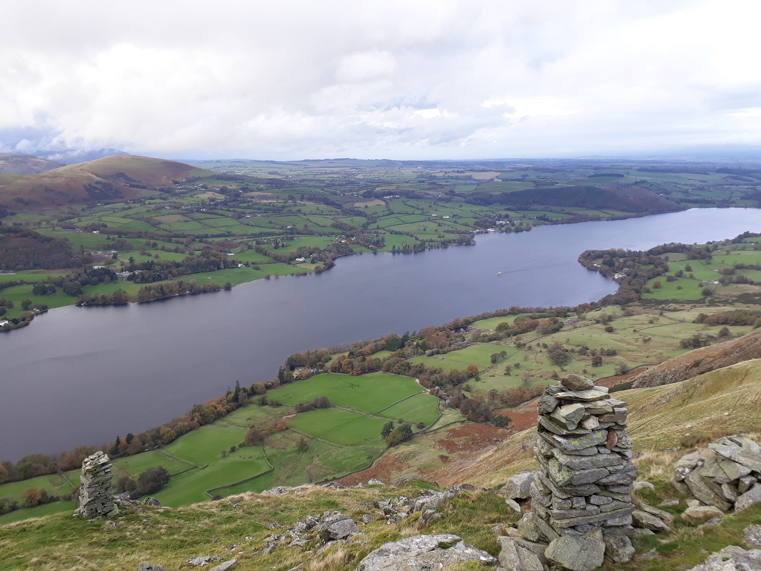
The northern end of Ullswater

The summit of Bonscale Pike is 15 metres from the towers on the obvious high point. Loadpot Hill behind the summit
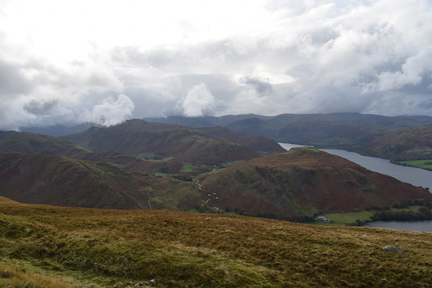
The cloud has cleared from the higher fells also, with Rampsgill Head in view at the end of the valley
I’m about to start my descent and I’m heading for the valley between Hallin Fell right and Steel Knotts left
The ridge up to Steel Knotts is clear from the zigzag path, the hairpin road under Hallin Fell is also clearly seen with my path to the left of that

Lovely silhouettes along Fusedale
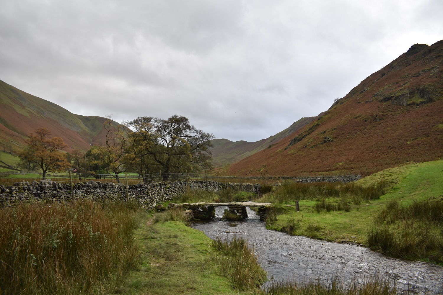
The small footbridge over Fusedale Beck near to Mellguards, the steep slopes to Steel Knotts to the right, not far from here to the car at the church


Great post – less than 100 left, well done!
LikeLike
A couple more walks to post yet which will bring me down further. I’m on 121 and looking at my next trip up probably in May next year
LikeLike
Great photos, love those first few rainbow shots
LikeLiked by 1 person
The rainbow was there for about an hour, with a bit of mizzle running along Ullswater and the sun all over Martindale it meant the rainbow seemed to sit over Hallin Fell
LikeLiked by 1 person
Lovely photos and fantastic write up! x
LikeLiked by 1 person