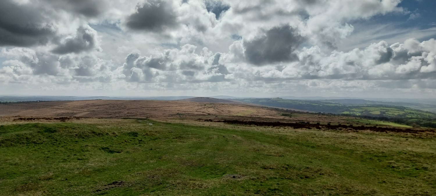
After almost a month away from Dartmoor, caused by our trip to South Wales and the previous week’s stunning walk along the North Cornwall coast (here), we were back. This was Easter Saturday and I think we’d missed the sodden ground and greasy mud too much!! That said, we’d picked another sunny day to walk, so that was two weeks running that the sun shone extensively. More of this please! This walk picks off a number of Dartmoor 365 squares as well as getting up one of the best tors on the western side of the moor, in Hare Tor. When driving the A386 towards Okehampton, only Great Links Tor has more prominence on this side, Hare Tor gives fantastic views both west to Cornwall and also in the centre of the moor around Fur Tor. We had started out from the tiny hamlet of Zoar, which always sounds like a character from the Flash Gordon movie, if you are of that age to understand that, before we headed to the nearby Master Rock. We then walked past the Wheal Jewell Reservoir and then on to Wheal Betsy. Handrailing the A386, we picked off a Dartmoor square in the Milestones, which would be our 3rd on this walk. Next we headed into the Willsworthy Firing Range (no firing on today!) before we looked to visit a few hills and tors. Crossing over White Hill we headed to Hare Tor and the high point of the walk, and those 360 views. We sat for a while on the hill, changing places to stay out of the cold wind, before dropping to Ger Tor and the vertiginous views down into Tavy Cleave. All that was left was the walk down to Lane End car park and then along the lanes to Zoar. It was lovely to walk again on Dartmoor, especially with the sun shining, the clouds looked even better in person than in the photos, and it was lovely to be amongst this on Dartmoor.
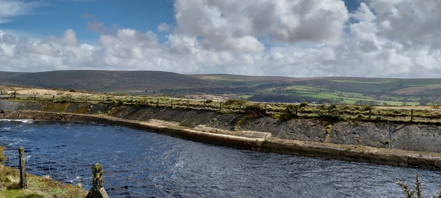
Out of the car and you get this view towards Tavy Cleave and Hare Tor (looking like the the highest point from here). Sunshine dapples the hills around.Big white fluffy clouds above as we look from Master Rock in towards Lynch Tor, with White Tor on the rightWheal Jewell Reservoir looking to Tavy Cleave and Hare Tor, we can now properly see Great Links Tor back left, which is the high point on this side of the moorLooking towards Lynch Tor (back middle) from Wheal Jewell, the dark hill to the left is Standon HillThe Wheal Friendship leat enters Wheal Jewell at this end of the reservoir, again that backdrop and plenty of sunshine aroundWe crossed Kingsett Down to this point which gives a good view along the Tavy Valley towards PlymouthLots of these around todayWheal Betsy on the side of the hill, we would head there next
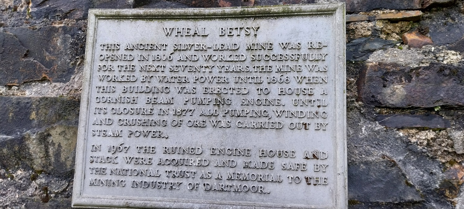
Inside Wheal Betsy
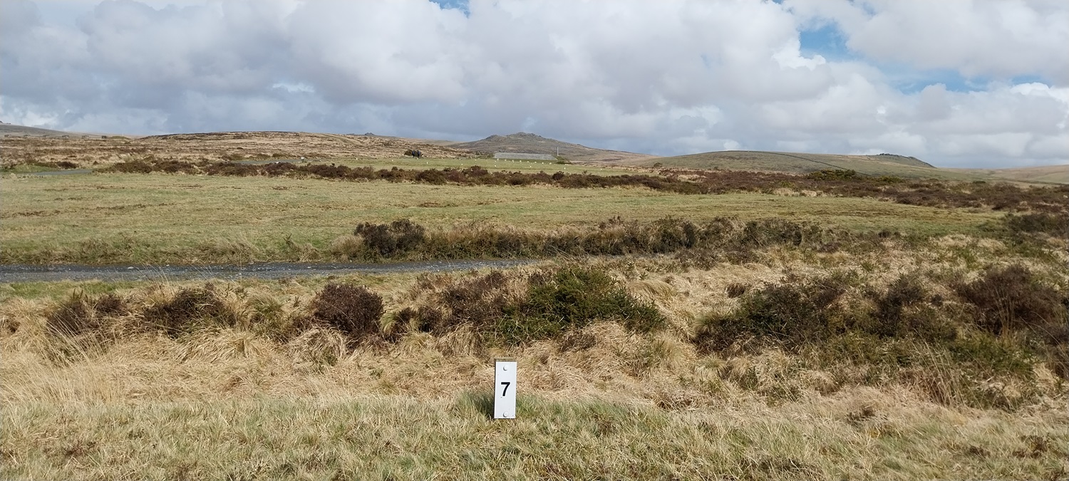
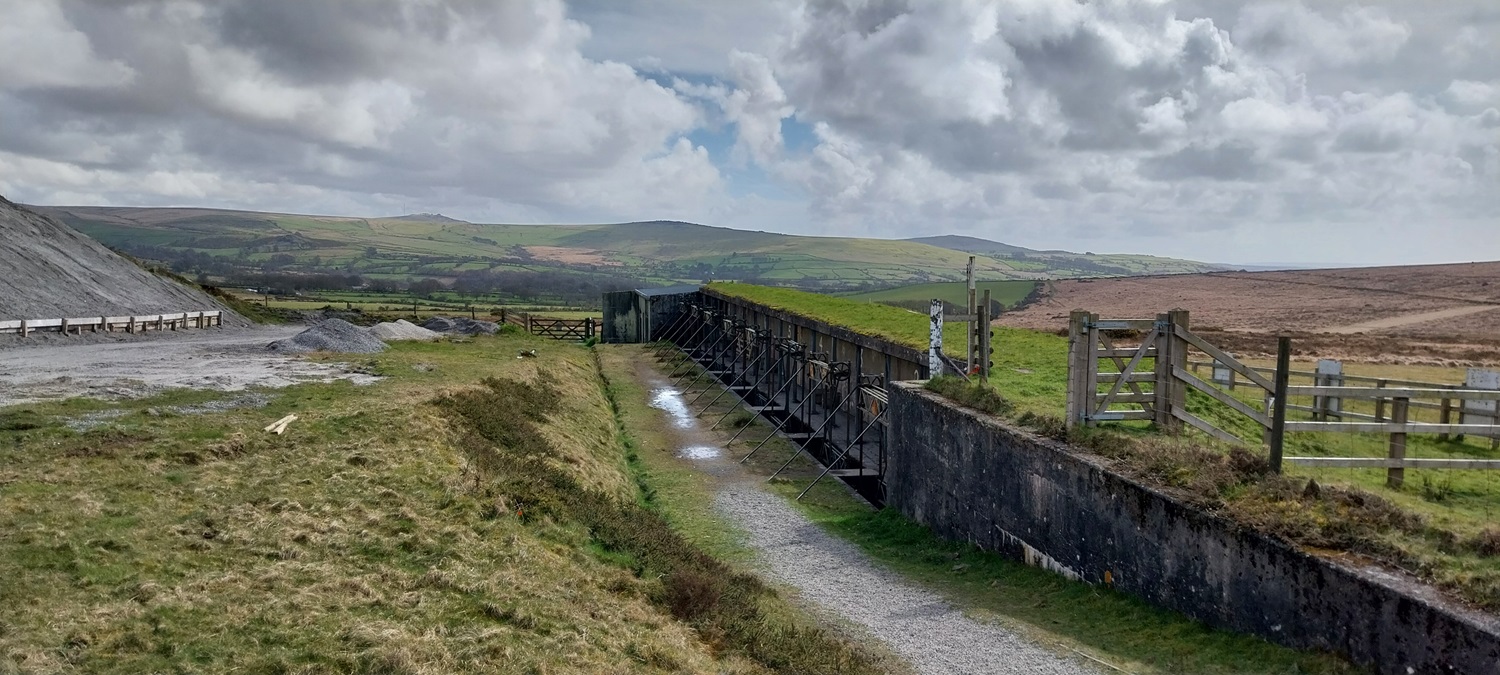
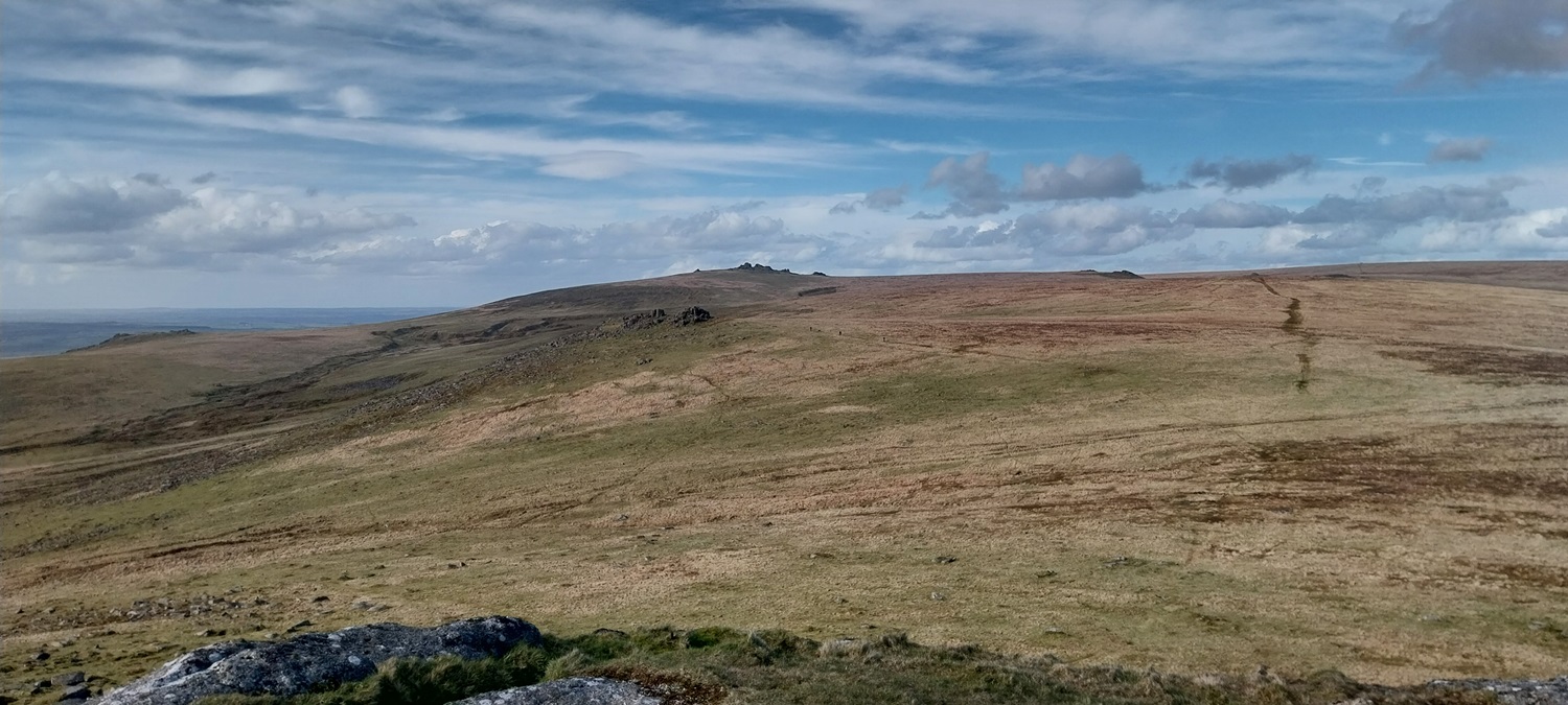
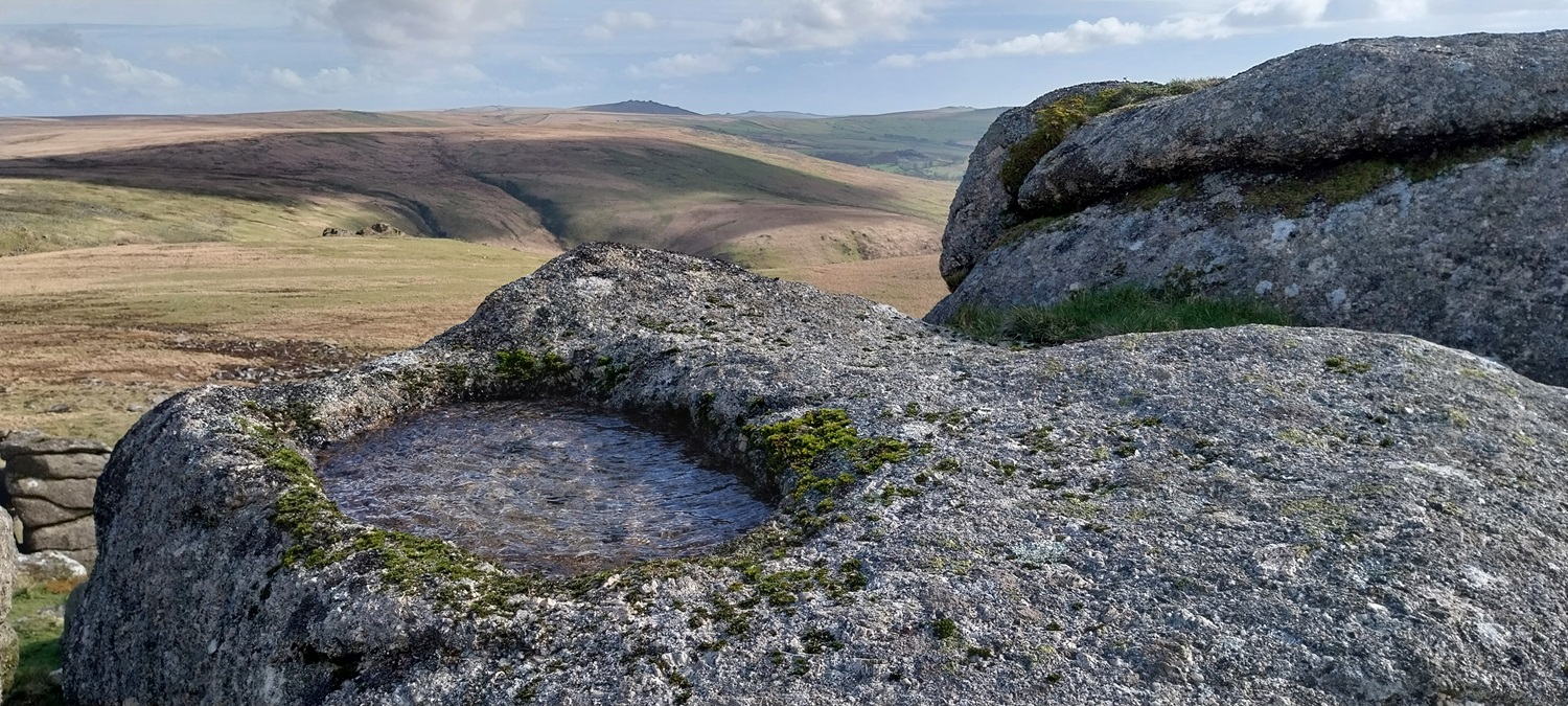
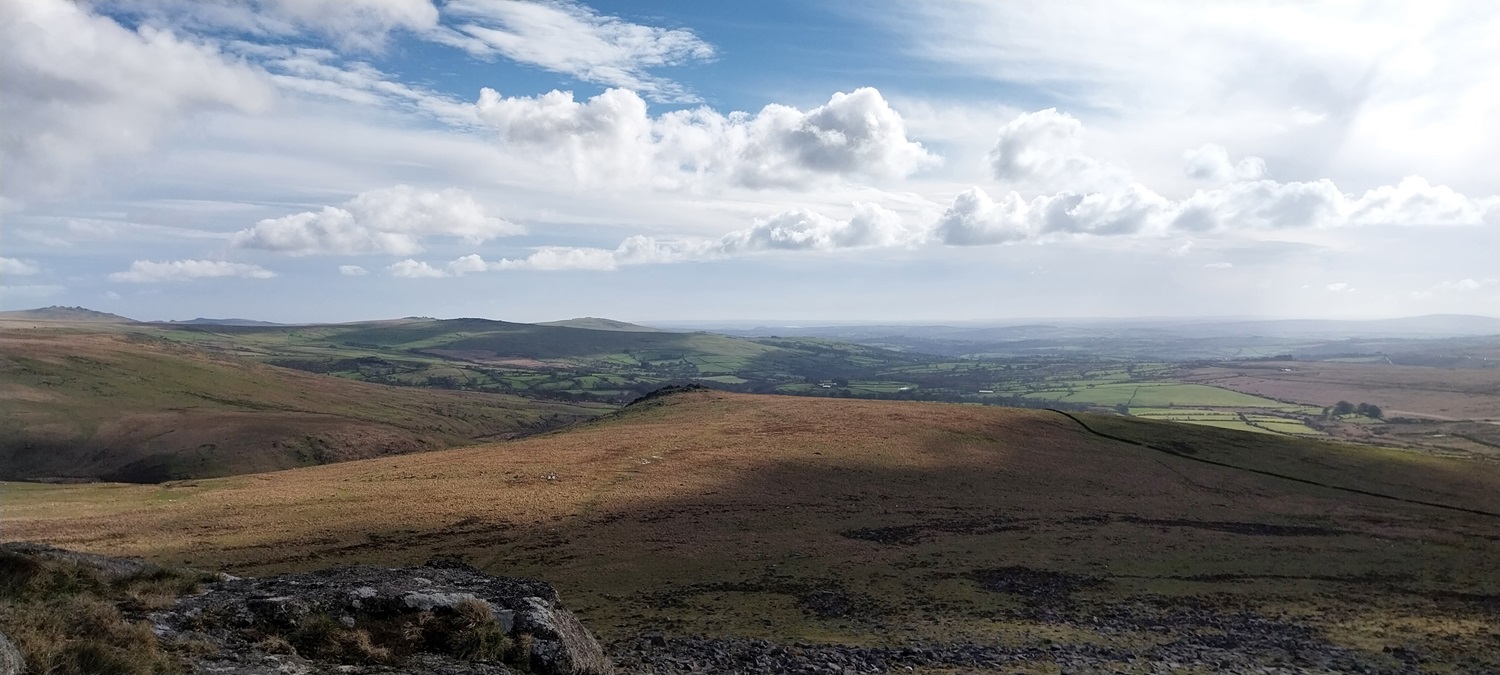
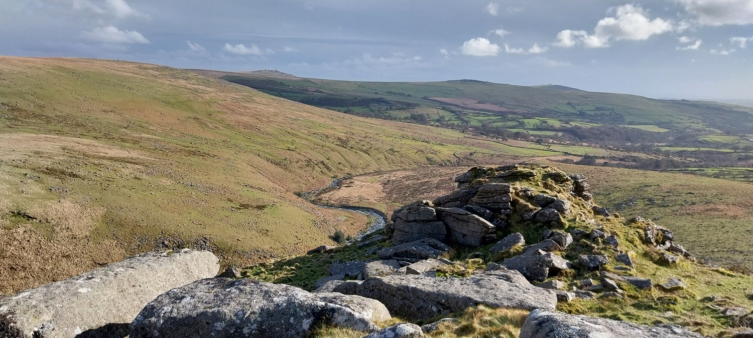
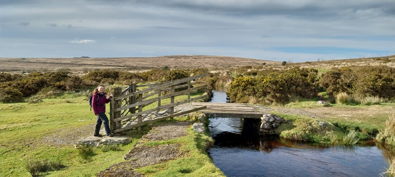
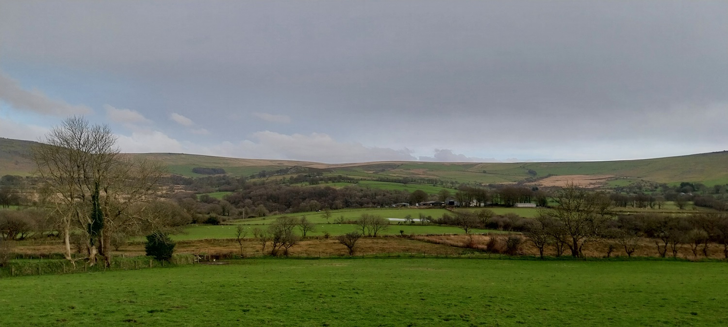
And the plaqueWe sat for a brew at Wheal Betsy, talking to a guy who had been camping out at Little Kneeset, and was bagging the D365 squares. It was nice to talk to a like minded person who spoke about seeing all the parts of Dartmoor. That is Cox Tor back left of this photo.We were handrailing the A386 here, Hare Tor in the distance, centre photoThe milestone (D365 square) is on the other side of the road, beyond is the area around Lydford GorgeThe second milestone is on this side of the road, a small upright piece of granite to mark the miles from place to place. This is one of the entrances to the Willsowrthy Firing Range, as it says on the sign to the leftWe are on the firing range now, the grey bank in the distance is where your target is (Hare Tor is behind that), you are in lane 7 and need to hit the target 500 metres away. Best of luck soldier!To prove the distance, the 500 metre markerAt the business end, this is where the targets sitAnd behind the target bank, you can see the mechanism that would raise the target, the sand bank to the left catches the roundsWe had left the lengthy range and moved to a shorter range with moving targets, they run along a short track back and forth, you shoot from the boxes in the distance, approx 100-150 metres awayLeaving the ranges now and moving up White HillThe clouds look superb from the top of White Hill, the flag pole will fly the red flag when firing is taking placeWhite Hill views towards Gibbet Hill and beyond to CornwallNorth Cornwall, the views from the western side of the moor are superbThe darker Doe Tor in the foreground, Brat Tor to the left and Great Links Tor at the back, both in sunDark moody clouds mix in with the sunshine as I look back to White Hill on our way up Hare TorLinda in front of Hare TorOn Hare Tor now, the cleft of Tavy Cleave can be seen to the left, cutting through the hillside, the high point back left is Great Mis Tor.Blue skies, fluffy clouds and the central Dartmoor basin. Lots of rover heads in this photo, with the area around Fur Tor (and the tor itself) bang in the centre of the photo. You’ve got the Rivers Tavy and West Dart definitely to the right of Fur Tor and the Cowsic will start on the right hand edge of the photo. On the left edge will be the Taw, East Dart and West Okement. Tavy Cleave is cutting across the photo to the right.From Hare Tor, looking beyond Sharp Tor to Great Links TorSelfie on Hare Tor, there was a cold wind up hereRock basin on Hare Tor, even had ripples from the wind in it. Great Mis Tor is the dark tor at the back beyond the gorge of Tavy CleaveGer Tor is down there in the sun, and will be our next stop, a patchwork of fields extends beyond thatLooking back from Ger Tor to Hare TorYou get great views down into Tavy Cleave from up here on Ger TorOn the left of photo are the Tavy Cleave Tors. Fur Tor sticking up at the backGer Tor, with the River Tavy below. Great Mis Tor is away in the distance to the right of that is White Tor and furthest right is Cox Tor.A slight darkening of the clouds ahead as we drop down from Ger Tor and head for Lane End, the ground was pretty much a 50 metre wide running stream down hereLinda shows off the Wheal Friendship Leat, it the distance is White Hill and the Willsworthy RangeAfter Lane End we walked the lanes back towards Zoar, passing these daffs near to Willsworthy.Lynch Tor back left and Bagga Tor is in the centre but tricky to see from here as it blends in with the high ground behind itLast photo looking back to Hare Tor, our high point today. A stunning walk, lovely sunshine and some fine clouds and skies. As always the company was beautiful as well
Those moors look appealing in the sunshine in your photos.
We think the “wild” landscape as “natural” but there’s plenty in your post which shows the influence of humans over the centuries. Still beautiful, though.
Absolutely, there plenty on Dartmoor, and more so on Bodmin Moor showing man’s interventions. The tinning on Dartmoor is one of the reasons that it is far drier than it was
Another grand walk. Can you access into the depths of Tavy Cleave? It looks a superb -lace to explore although I can’t see a path or right of way on the map.
Yes there’s a path going in from the Lane End car park following the leat in, its a superb walk bit scrambly in places over rocks but with plenty of options at the far end of the leat to extend the walk onwards. Happy to be a guide if you were down this way 😁


Lovely pictures too. Better weather up here now.
LikeLiked by 1 person
Those moors look appealing in the sunshine in your photos.
We think the “wild” landscape as “natural” but there’s plenty in your post which shows the influence of humans over the centuries. Still beautiful, though.
LikeLiked by 1 person
Absolutely, there plenty on Dartmoor, and more so on Bodmin Moor showing man’s interventions. The tinning on Dartmoor is one of the reasons that it is far drier than it was
LikeLike
Lovely walk. It will be great if you could share a bit of sun with us 😉.
LikeLiked by 1 person
Its supposed to be getting better as the week goes on, fingers crossed
LikeLiked by 1 person
On top of the world with blue skies- what more do you need?
LikeLiked by 1 person
It was a lovely walk and nice to get such good weather finally on Dartmoor
LikeLiked by 1 person
Another grand walk. Can you access into the depths of Tavy Cleave? It looks a superb -lace to explore although I can’t see a path or right of way on the map.
LikeLiked by 1 person
Yes there’s a path going in from the Lane End car park following the leat in, its a superb walk bit scrambly in places over rocks but with plenty of options at the far end of the leat to extend the walk onwards. Happy to be a guide if you were down this way 😁
LikeLike
Only fair that you return the favour 🤣
LikeLiked by 1 person