I’d done a similar walk to this in November last year (here) and this time wanted to find the Shovel Stone, which isn’t marked on the map but I know is in the area. I’d done a bit of internet digging beforehand which brought up conflicting photos of the stone itself. All I could tell was that Widecombe village say it is on a straight line between the Rugglestone Inn in Widecombe and Top Tor. That’s good enough for me. I set out having forgotten my camera (phone photos today) and waterproofs and feeling a bit daft and under-prepared!! Luckily the weather was set fair and the views far better than my last time here.
| Start – Cold East Cross parking |
| Route – Buckland Beacon – Ten Commandments Stones – Wittaburrow – Tunhill Rocks – Hollow Tor – Shovel Stone – Top Tor – Pil Tor – Blackslade Ford – Cold East Cross |
| Distance – 5 miles Start time – 2pm Time taken – 2hrs 45minutes Highest Point – Top Tor 432mertres |
| Weather – Cloudy and some sunny spells. Lovely |

© Crown copyright 2016 Ordnance Survey FL 2016 SF

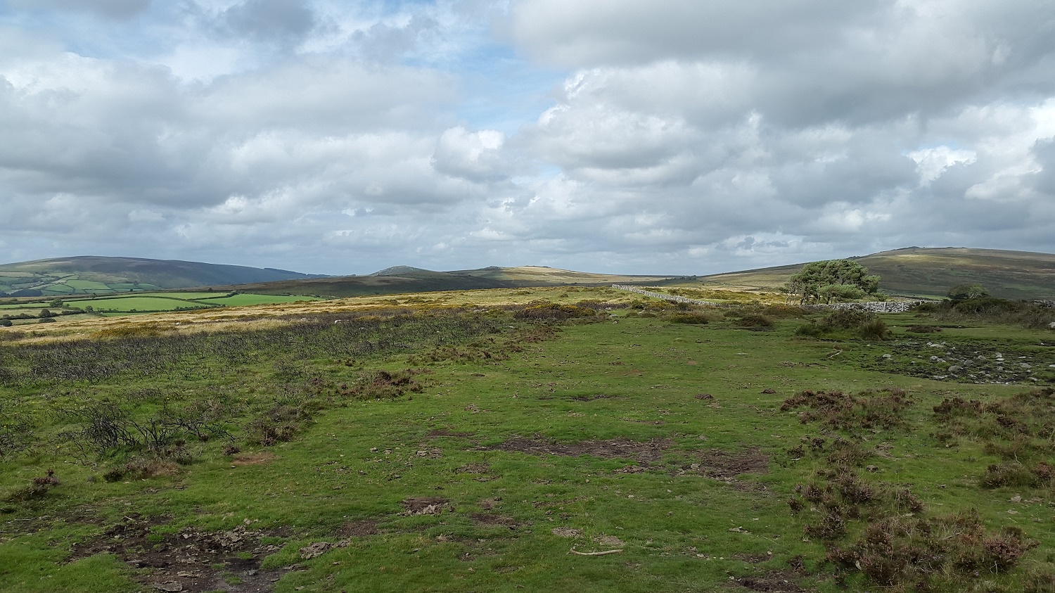
Over the bovine to Wittaburrow left and Top Tor to the right, I’ll be on those later

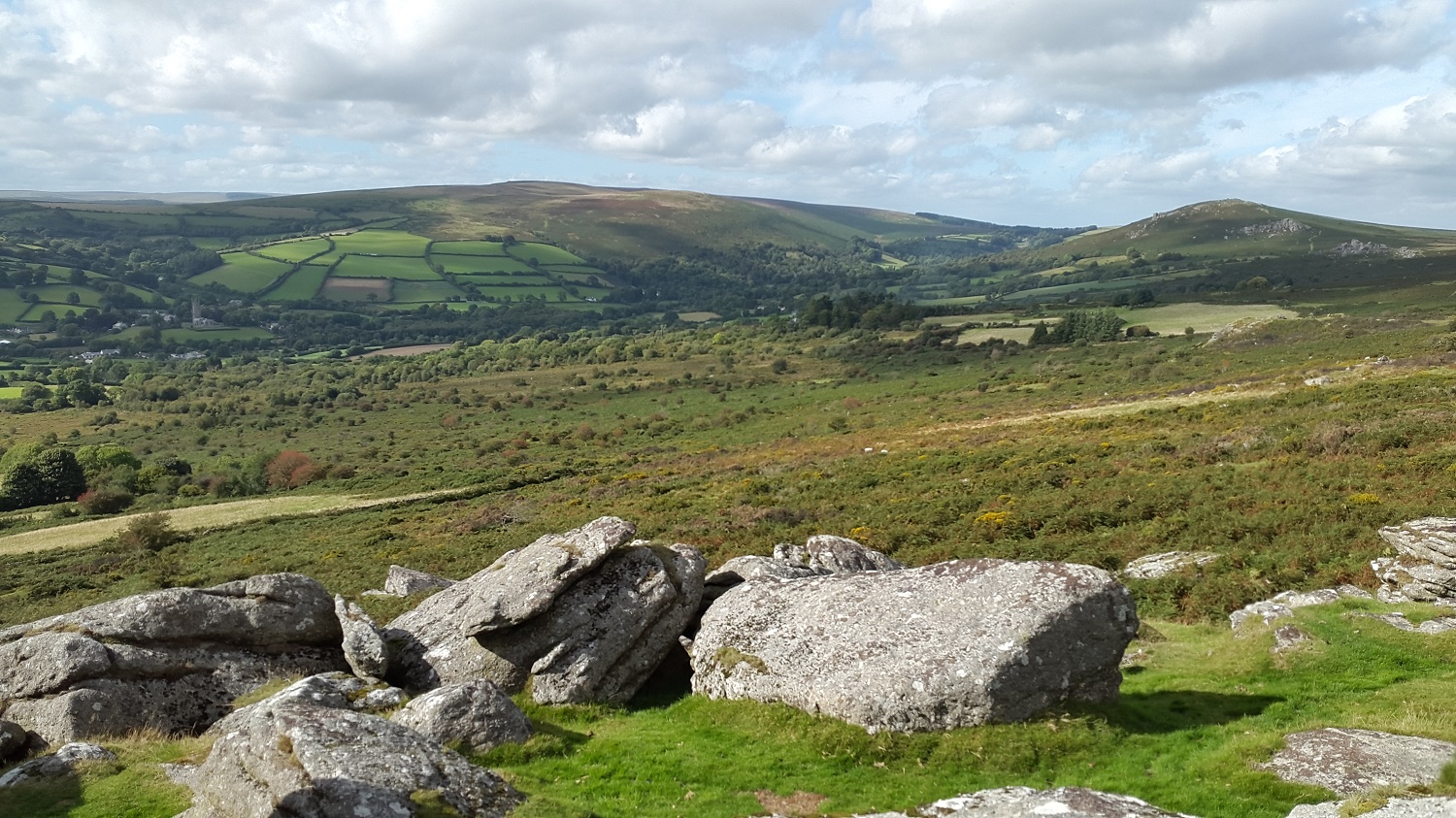
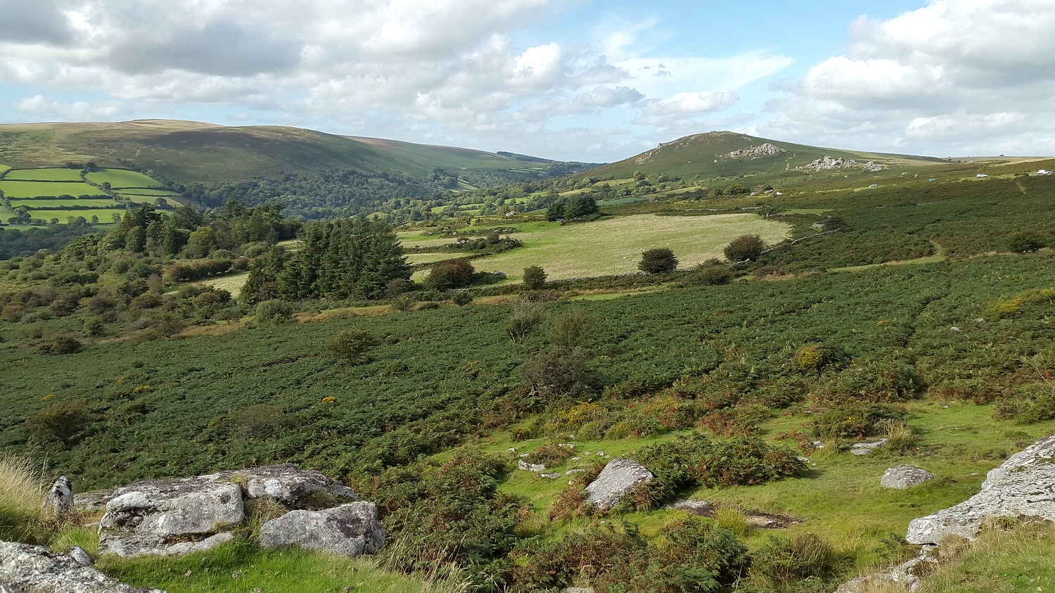
Corndon Tor is the dark looking tor in the centre, and Ryders Hill is rising up on the left as I make my way across to Buckland Beacon

Fabulous views down to the River Dart from Buckland Beacon

The Ten Commandments Stones just below the summit
From left to right, Hameldown, Chinkwell Tor, Top Tor (with some sun) and Rippon Tor (above the tree)

After a lovely walk across I find Wittaburrow, this is from the cairn looking back to Buckland Beacon
And looking the opposite way, the tor rocks of Wittaburrow are just over there on the left

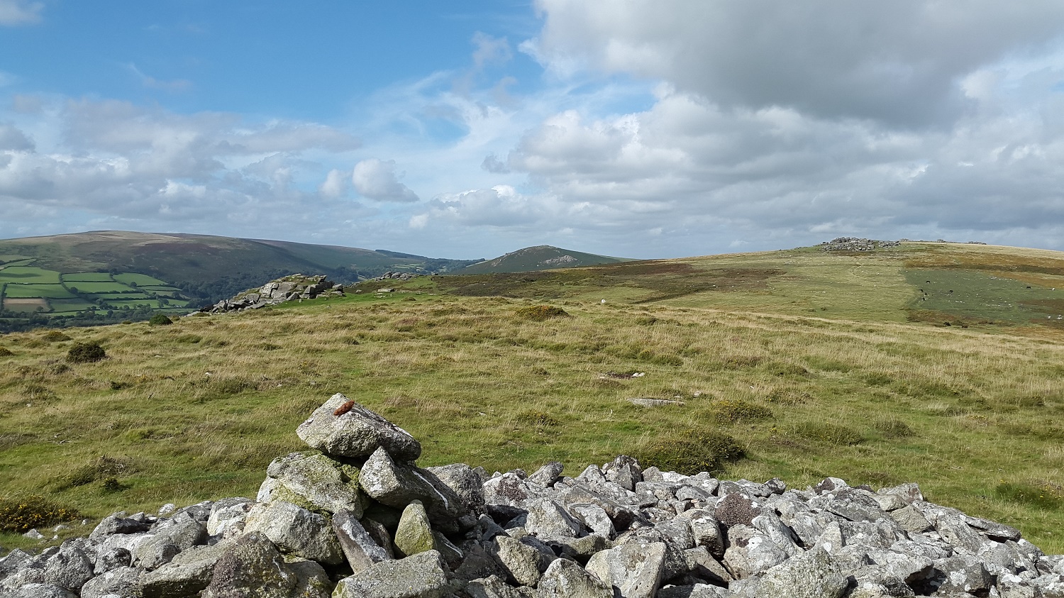
Standing by the tor rocks of Wittaburrow now, looking to Tunhill Rocks in the shade, Hameldown back left and Chinkwell Tor to the right of Tunhill
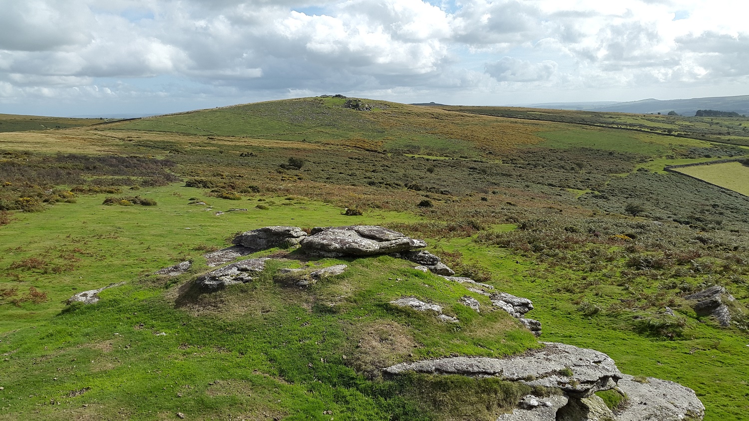
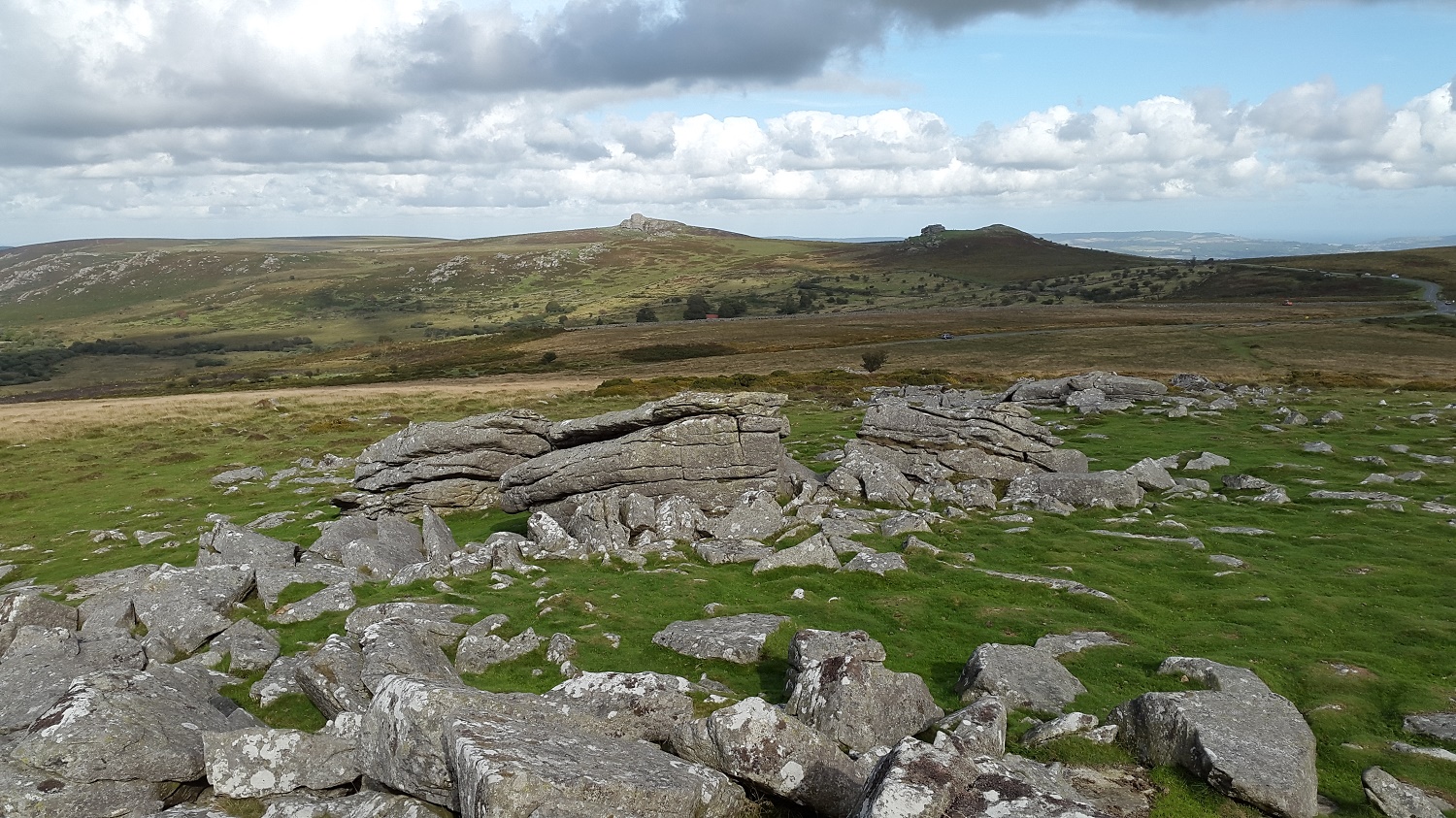
Its not more than 10 minutes between each of the tors around here, here I am on Tunhill Rocks looking back up to Wittaburrow

From the same spot, Pil Tor with Rippon Tor to the right
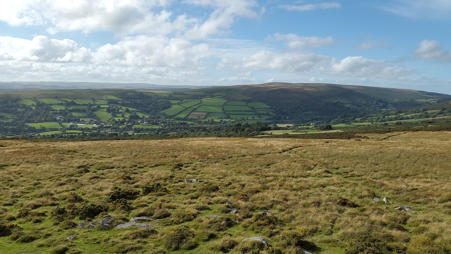
This view is always in view from these parts, Widecombe village centre left of photo

On Hollow Tor now and Widecombe village, and especially the church, look their best from here
Chinkwell Tor with Hameldown up on the left from Hollow Tor, I now made a beeline for what I thought was the Shovel Stone.

My beeline was to that group of rocks over there. That is not the Shovel Stone, I am stood by that. That’s Lower Top Tor as far as I can find out, answers on a postcard please!!!

This is the Shovel Stone and is indeed in a line between Top Tor and Widecombe

Its only a drive and a short wedge to Top Tor from the Shovel Stone, that’s Pil Tor down there, Tunhill Rocks on the far right

The path that goes to Bonehill Rocks and then on past Bell Tor and up to Chinkwell Tor, Easdon Tor in the distance to the right of Chinkwell Tor
Saddle Tor and Haytor from Top Tor

Suns out on Pil Tor, looking towards Cold East Cross and Buckland Beacon

Into the sun, looking down to Tunhill Rocks with Ryders Hill forming the background
One last look down to Widecombe with Hameldown above

Top Tor to the right and Chinkwell Tor left

Rippon Tor with Saddle Tor centre and Haytor left, as my phone battery died on me so no more photos on the short walk back to the car.


