Today I went looking for the lost tors of Dartmoor. Alongside the River Tavy around Mary Tavy there are at least 5 tors that don’t get a great deal of exposure. The trees cover them and they don’t stand out like a Great Mis Tor or Haytor. Now some of these tors sit on private land, there is plenty of literature that suggests no tor should be private. Now I’m a pretty respectful person so I went and had a look for myself. Now High Tor and Fox Tor (Mary Tavy) look to me to be out of bounds, farmers fields cover these spots and short of wading up the Tavy they are gone. Now to the north of Brimhill Tor a public path approaches, two gates say nothing (no private signs), the reservoir is fenced off from the path, to me this is ok. So I went. The area is very pretty, plenty of woodlands, leats, river and bridges, but once at Hill Bridge I needed moorland, so up I went to White Tor and back round. The pub in Peter Tavy was pretty good at the end, I highly recommend
| Start – Boulters Tor parking |
| Route – Peter Tavy Church – Longtimber Tor – The Clam – Mary Tavy Hydro Power Station – Mary Tavy Church – Brimhill Tor – Kents Tor – Brimhill Tor – Horndon – Wheal Friendship Leat – Big Rock – Hill Bridge – White Tor – Stephens Grave – Setters Rocks – Boulters Tor – Boulters Tor parking |
| Distance – 7 miles Start time – 11am Time taken – 4hrs Highest Point – White Tor 465metres |
| Weather – Cloudy, plenty of sun though, breezy on the tops |
© Crown copyright 2016 Ordnance Survey FL 2016 SF
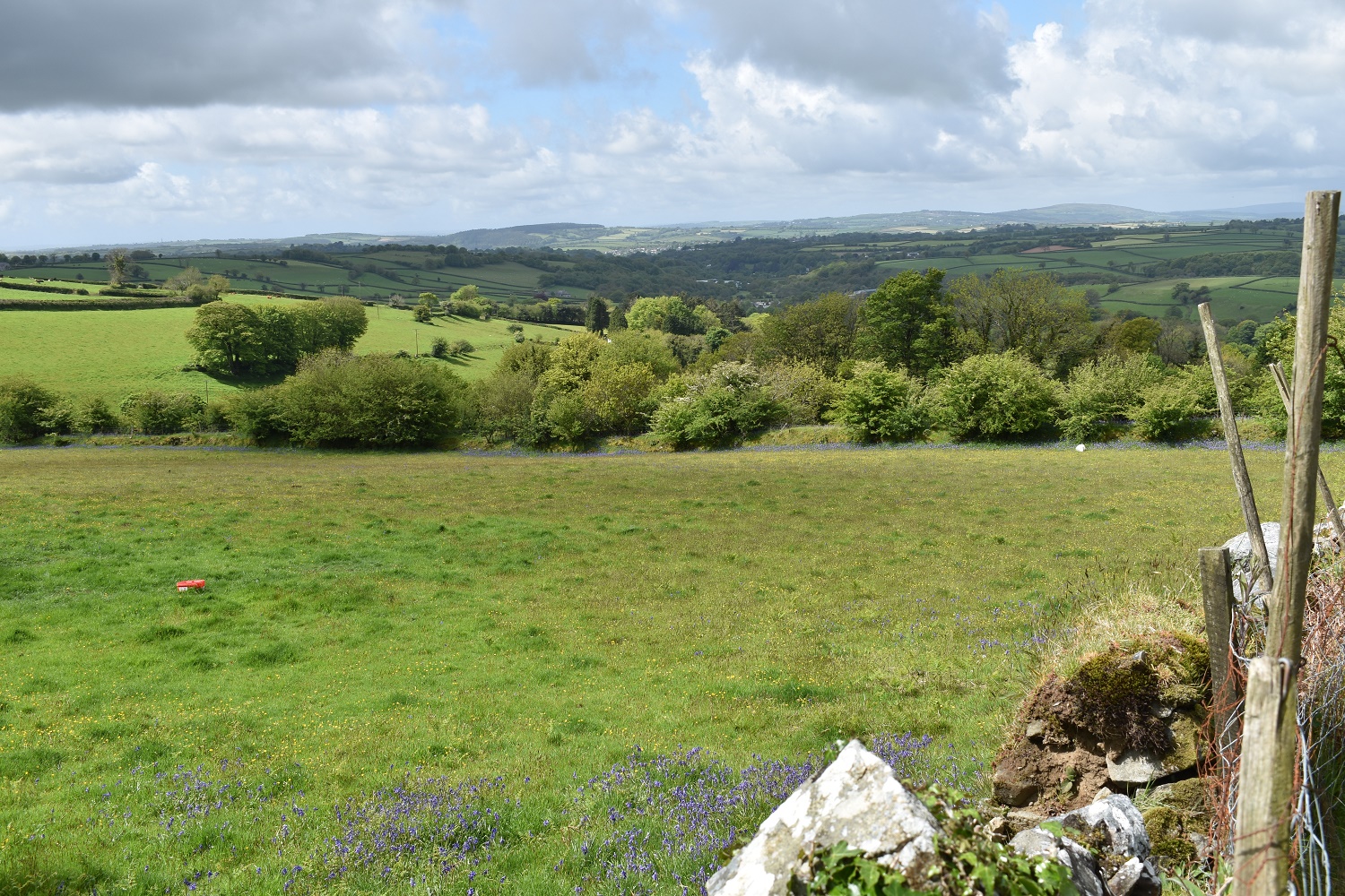
Just after leaving the car park I start to walk back down the lane to Peter Tavy, lovely views across bluebell fields towards Cornwall
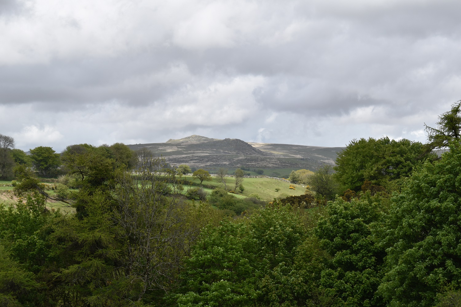
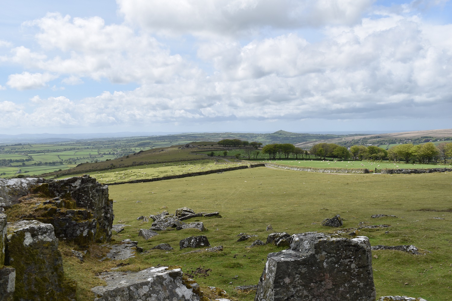
Brent Tor in the distance

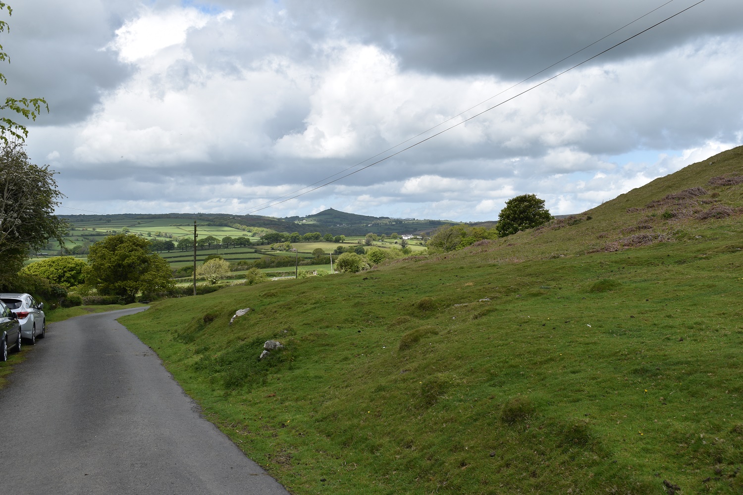
Looking back up the lane, you can just see Boulters Tor from here, where I will finish. Bluebells again line the lane
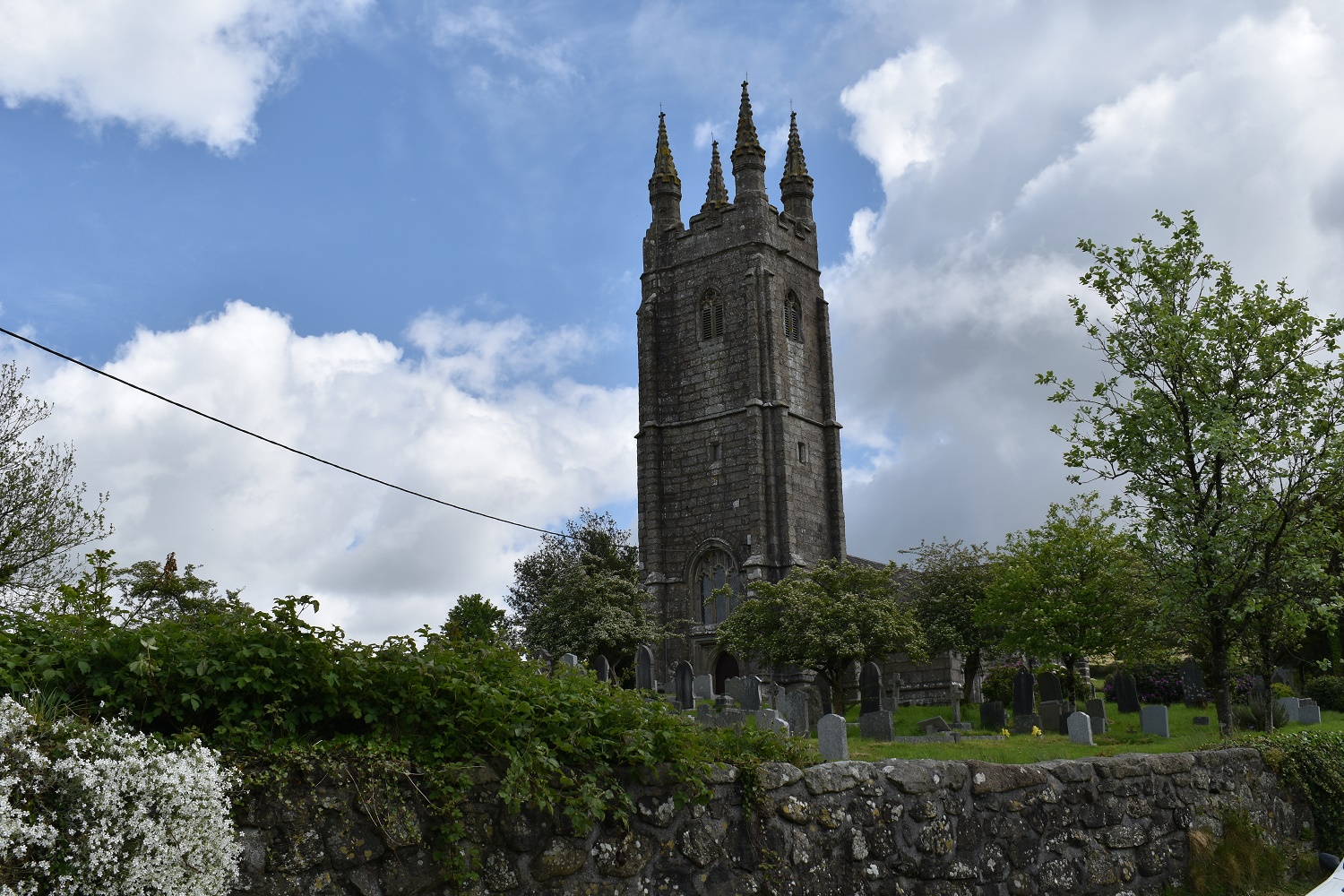
Peter Tavy church
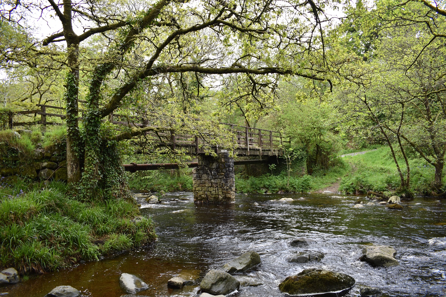
The Clam, a bridge over the Tavy which links the villages of Mary Tavy to Peter Tavy
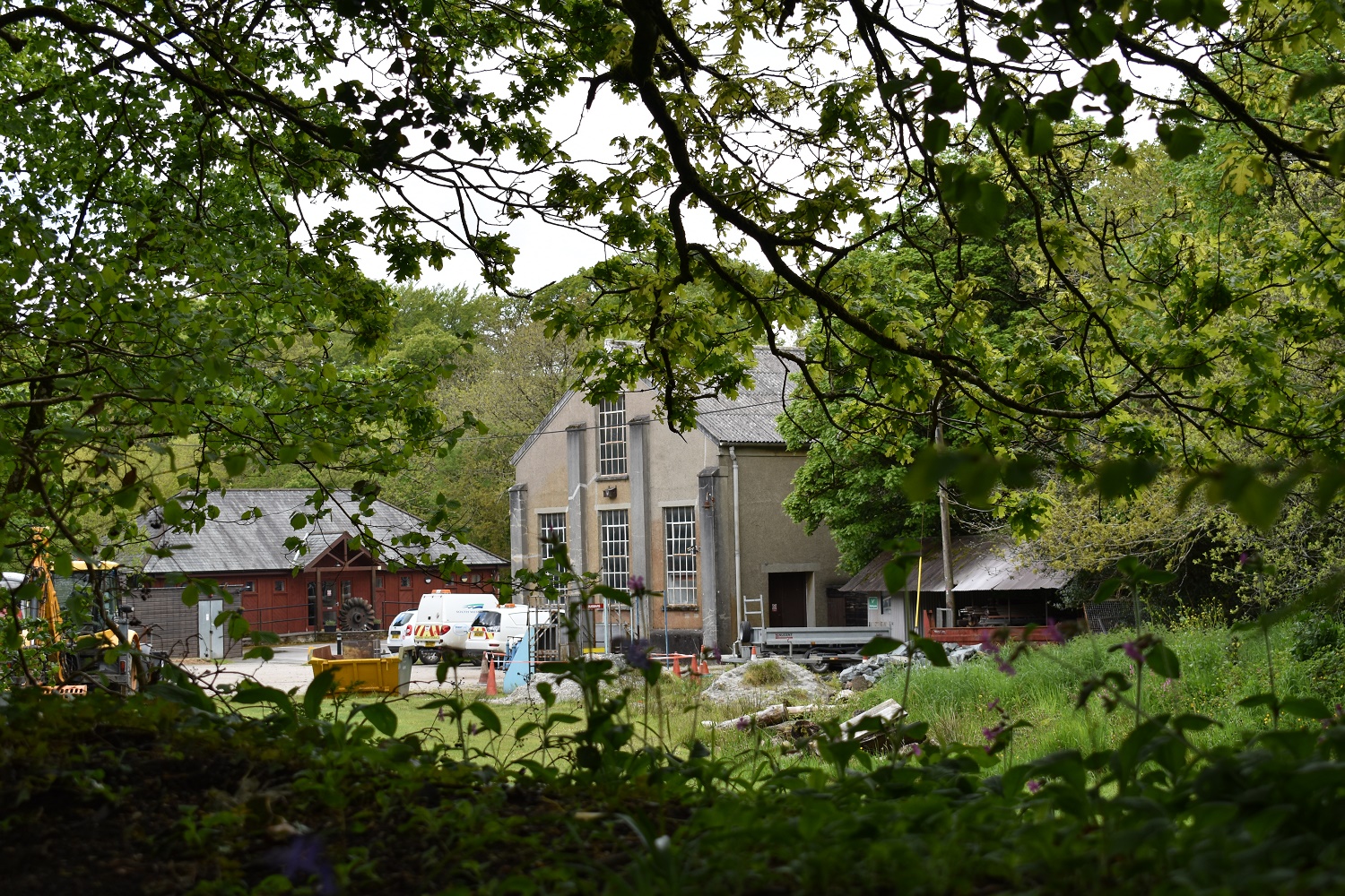
The Hydro electric plant in Mary Tavy, powering 1700 homes since 1930
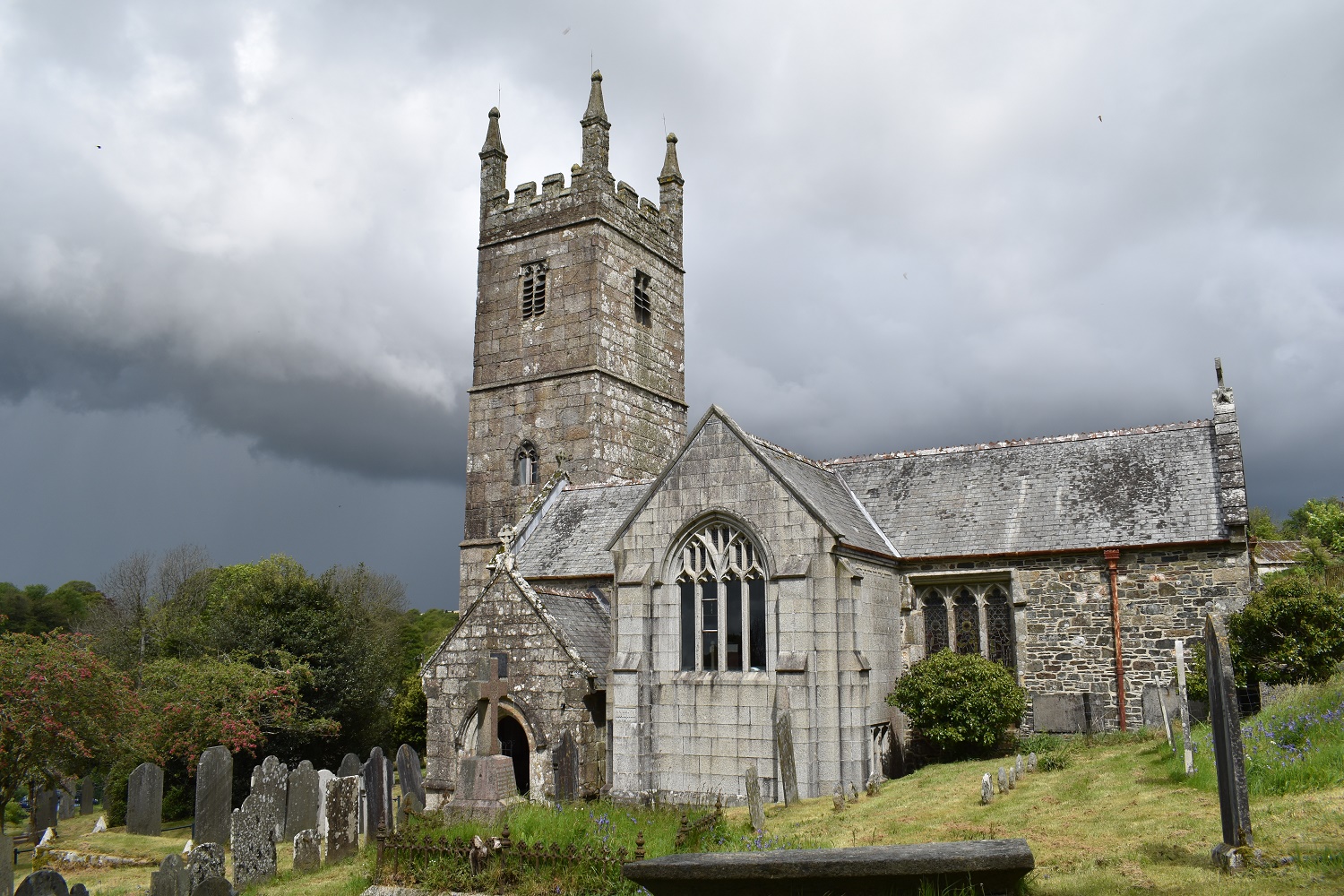
Mary Tavy church. It was at this point that I noticed the clouds and was gratefull I was walking this far south and not further north around Great Links Tor or Sourton!!!

Have a look at the Brimhill Tor page if you want to know how I got to this tor and nearby Kents Tor, for me its ok to get here the way I did. Not that there is much of a view, but the woodland is nice and there’s more bluebells at this time of year
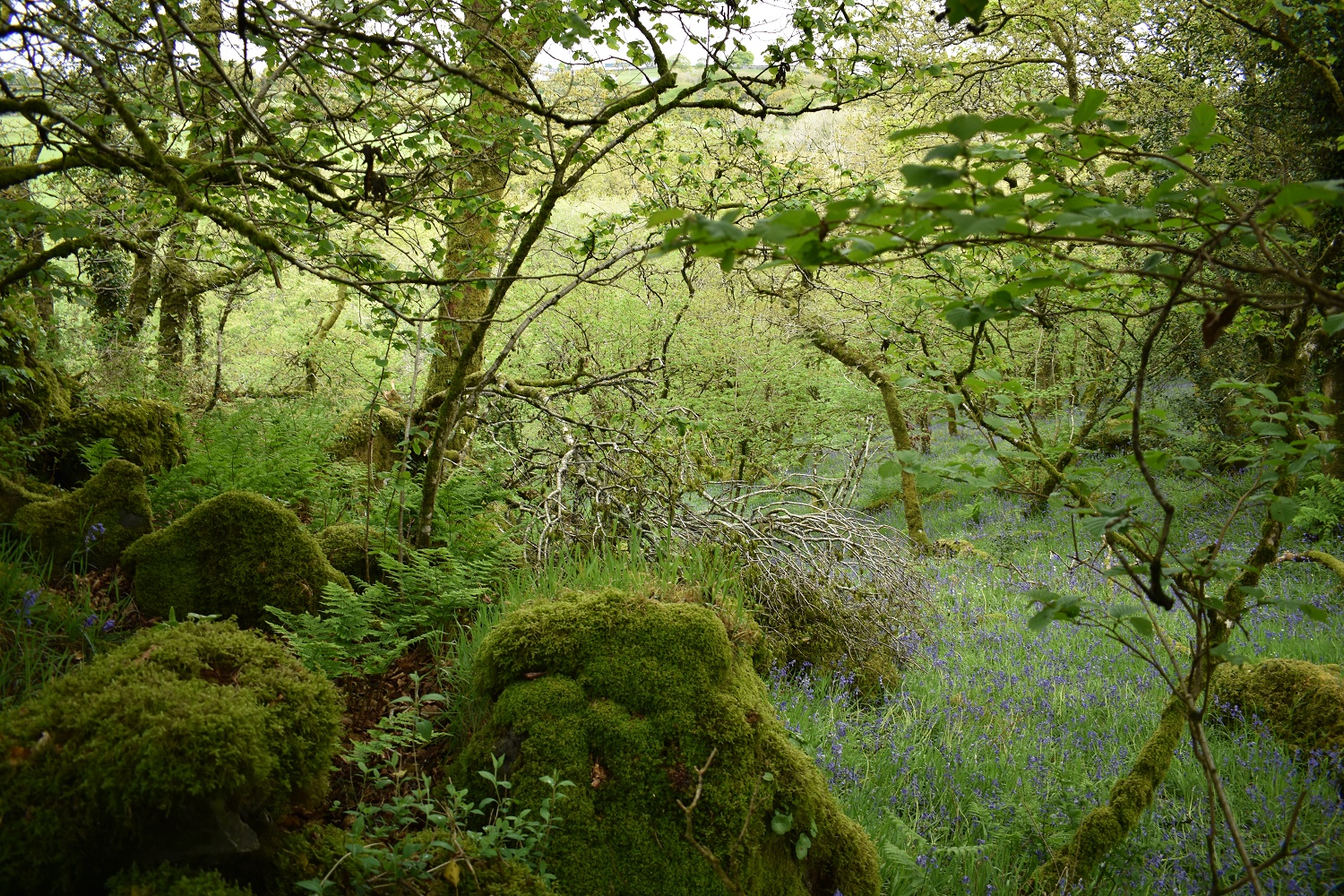
Woodland view from Brimhill Tor
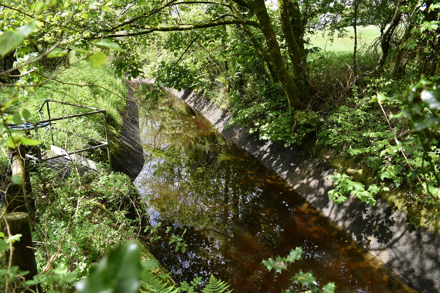
You follow this leat for about 50 metres to get to Kents Tor, this leat feeds the power station seen earlier and comes out of Wheal Bennets reservoir
Kents Tor
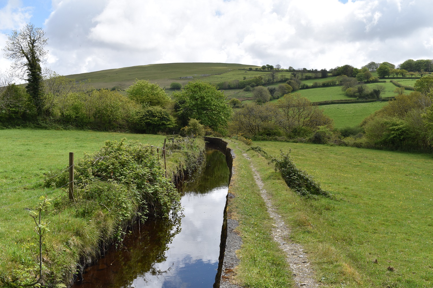
After a bit of a walk up to Horndon, past the Elephants Nest pub and then back down I follow the Wheal Friendship leat towards Hill Bridge. The hill ahead leads up to White Tor

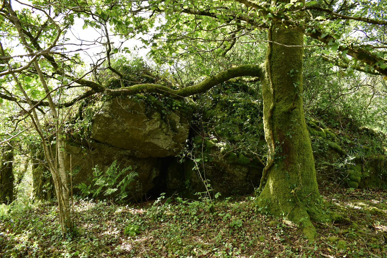
This was a rather large lump of rock on the opposite side of the leat, called Big Rock this is another of the tors along this area of the River Tavy

The River Tavy just short of Hill Bridge
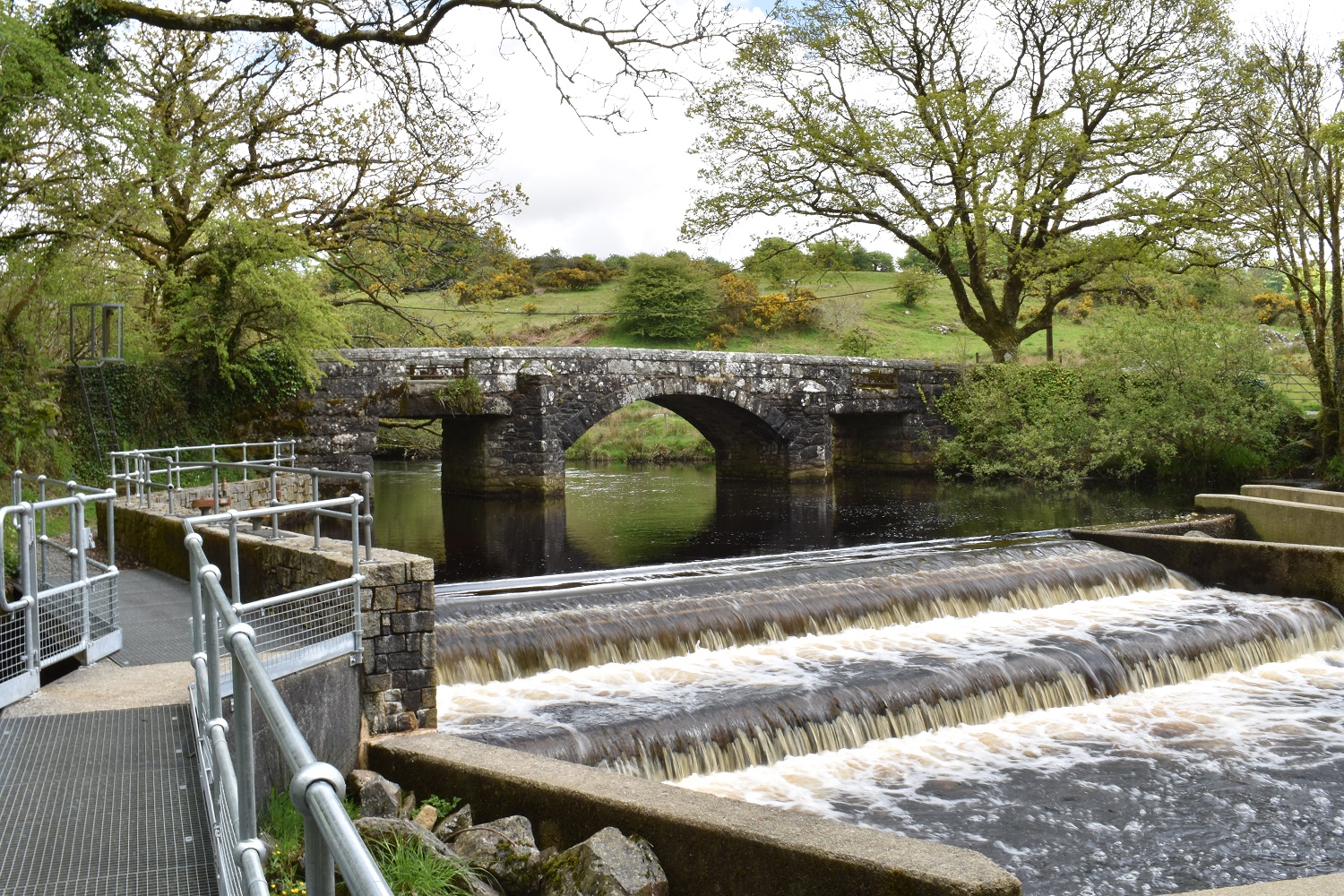
Hill Bridge, the weir and plenty of spots to sit and have a sandwich, so I did.
Originally I had planned to go to Bagga Tor and Lynch Tor, but time was pressing on so I devised a shortcut up from Wapsworthy to White Tor. As I climb here away from Hill Bridge I can see the higher tors to the north, the sunny one is Hare Tor
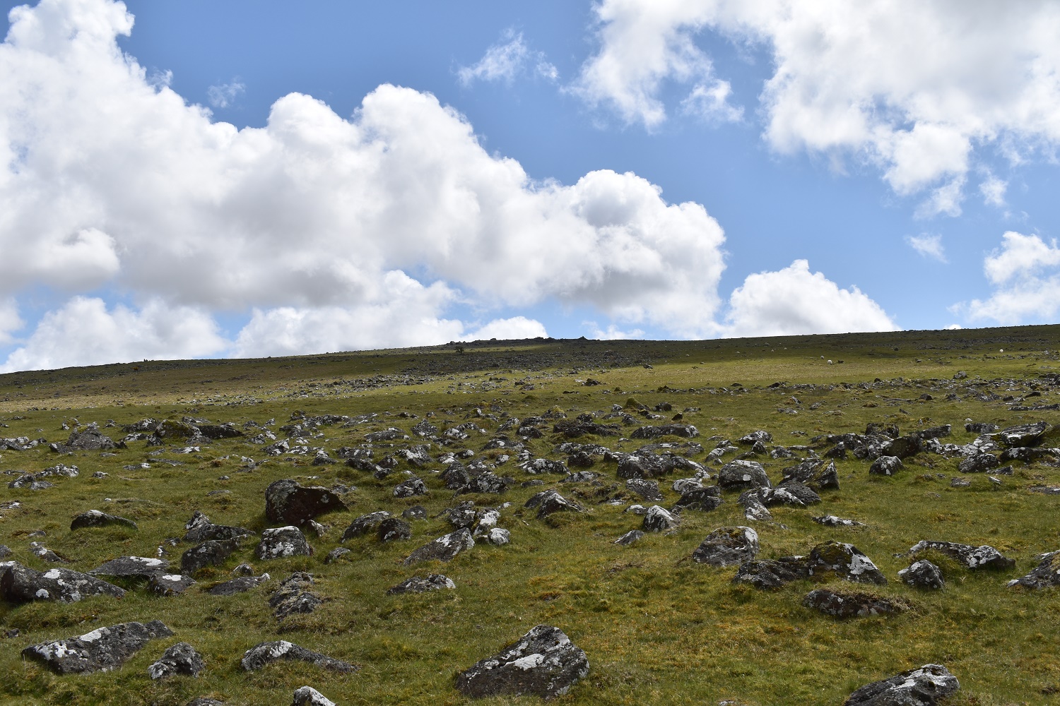
It might not look far but this is about a mile of fairly steep climbing, at least the suns out though
The view behind was ever expanding over the tors around Hare Tor, the valley running up to the right is Tavy Cleave
Gibbet Hill on the left and Willsworthy Down in the sun to the right
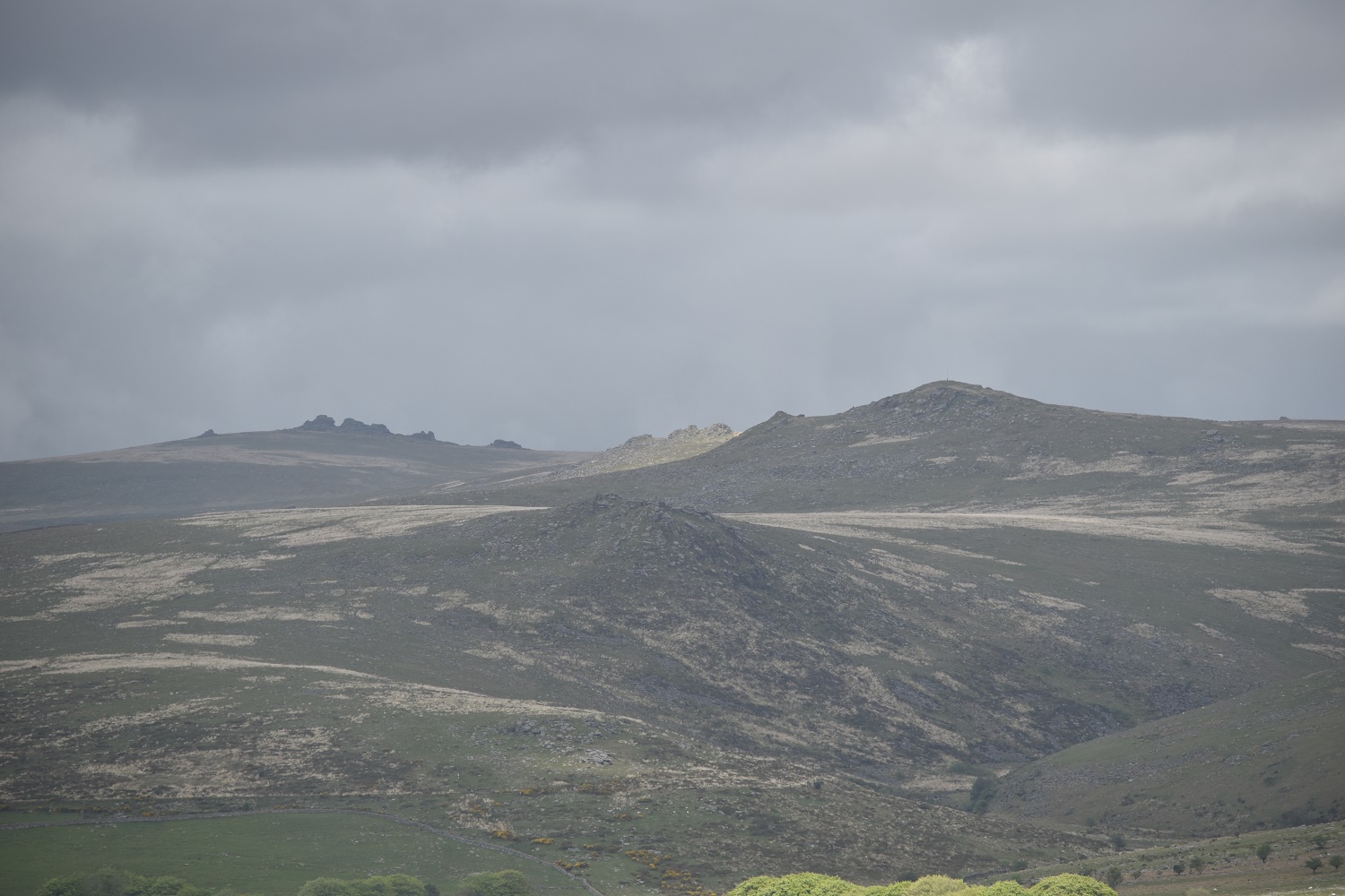
Looking dark to the north, with Ger Tor at the front, Hare Tor up to the left, catching the sun behind you can just see Sharp Tor and Great Links Tor is back left

Fantastic view north from the top of White Tor
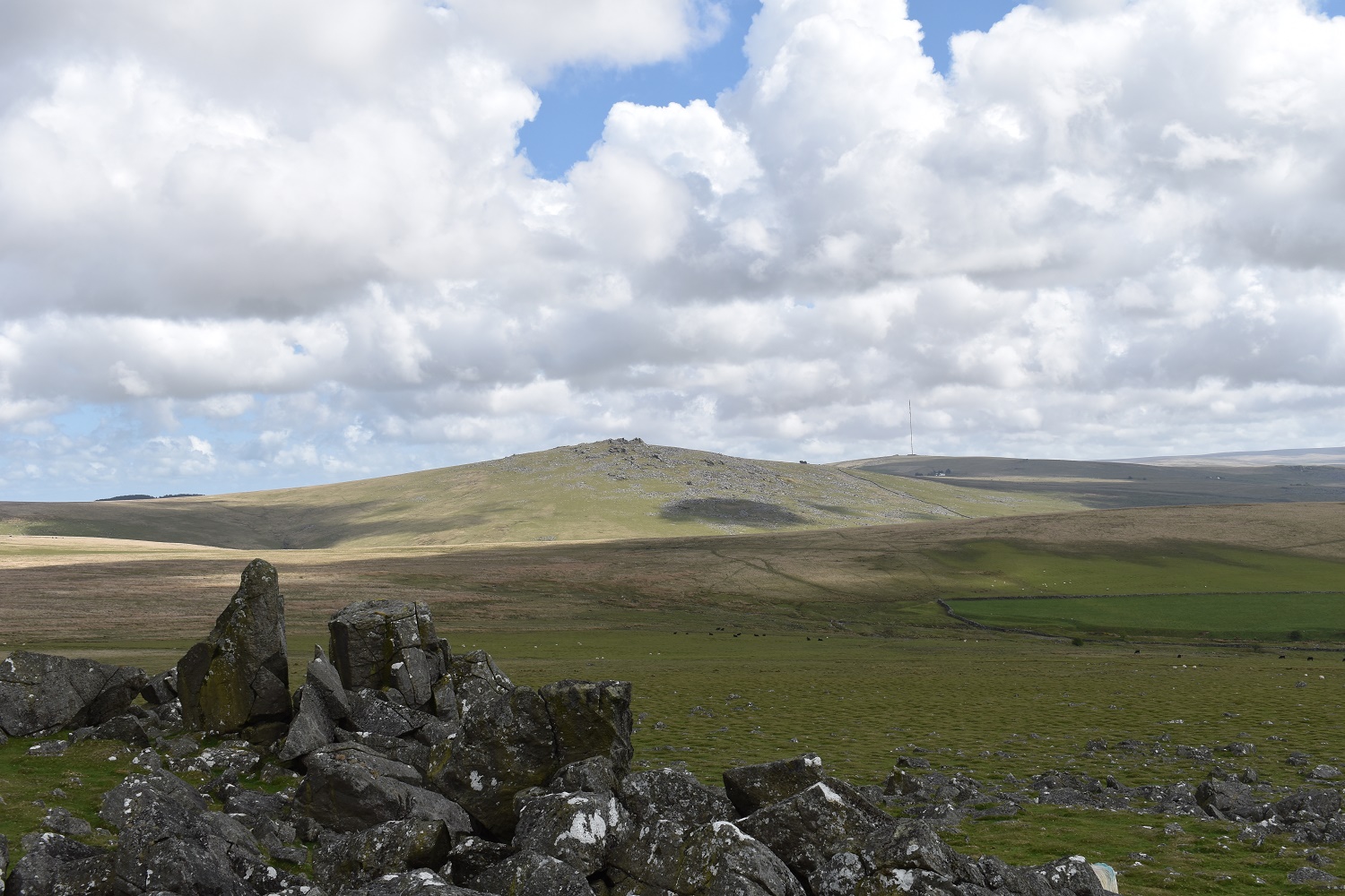
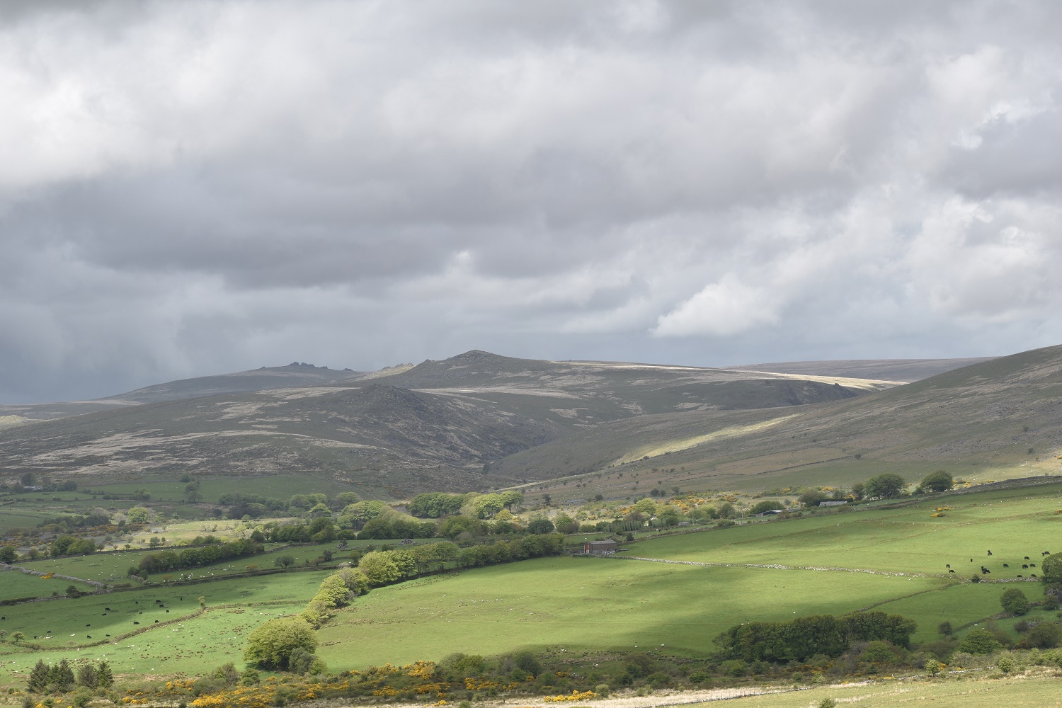
Now I’m at the top the area to the south and east of White Tor opens up. Great Mis Tor is centre stage here

Stephens Grave
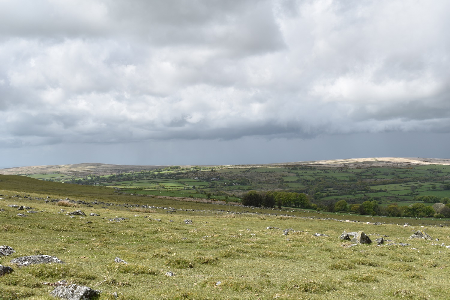
On Setters Rocks, looking down to Boulters Tor

Great Mis Tor is above the grassy track, to the right are Roos Tor and Great Staple Tor
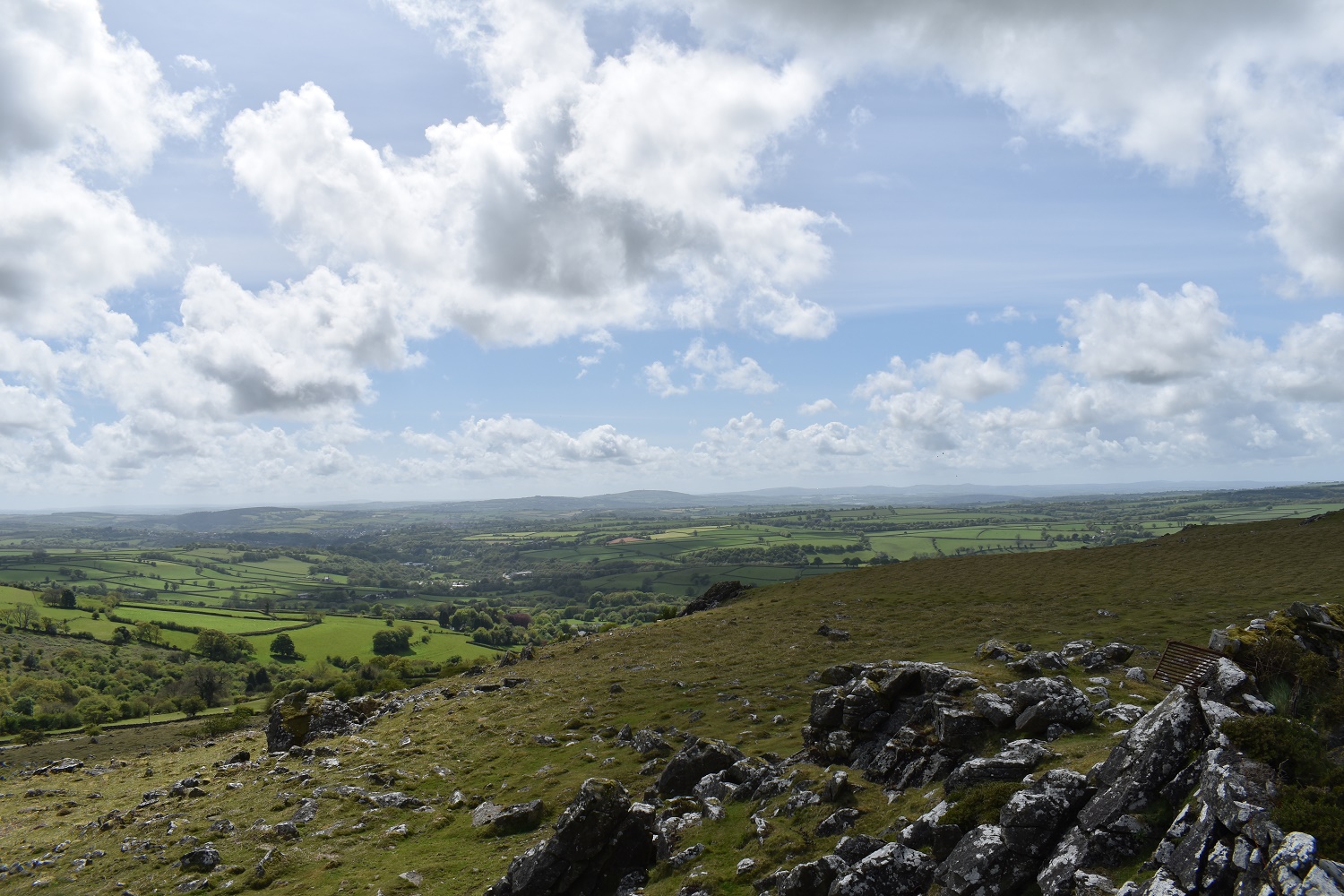
From Boulters Tor is a grand view west and a great end to a lovely walk. Just a short hop down the hill to the left to the car.


