This was a walk I’d been looking forward to doing again and despite the shortening days I was confident I would get around ok. The weatherman had set the day fair, no sunshine but a promise of just a cloud covering and no rain. However on reaching Tavistock, and with visibility down to around 200 metres, it was clear that the Met Office must all be off on their works Christmas parties and doing their forecasting when drunk. I ploughed on in the hope that it was early mist that would clear. That was partially true and for the high points of the walk the cloud was high and as it should have been. However on leaving Cut Hill the cloud dropped and then stayed down and got worse as I reached Tavy Cleave again. Now I always get a bit grumpy when the main highlight of a walk is spoiled by the weather. I was cursing myself for not arriving 20 minutes earlier when the cloud was still high enough. Still I was grateful for being out and this place is magical even in poor weather, in fact the tors around the Cleave looked very moody, swirling in and out of the clouds. I highly recommend this walk, it is pretty boggy underfoot, unless you come in summer after a dry spell, and the river/brook crossings can be tricky or involve a wade. But that’s the fun part, plus Fur Tor is waiting and that’s one of the finest places on the moor.
| Start – Lane End parking |
| Route – Wheal Friendship Leat – Tavy Cleave – Watern Oke – Sandy Ford – Fur Tor – Cut Hill – Little Kneeset – Amicombe Brook – Amicombe Hill – Rattlebrook – Tavy Cleave Tors – Sharp Tor (Tavy Cleave) – Ger Tor – Nat Tor – Lane End |
| Distance – 9.5 miles Start time – 10am Time taken – 5hrs 45mins Highest Point – Cut Hill 604metres |
| Weather – Low cloud to start, then brightened up a bit, then low cloud again before the clag dropped completely and started to drizzle |
© Crown copyright 2017 Ordnance Survey FL 2017 SF

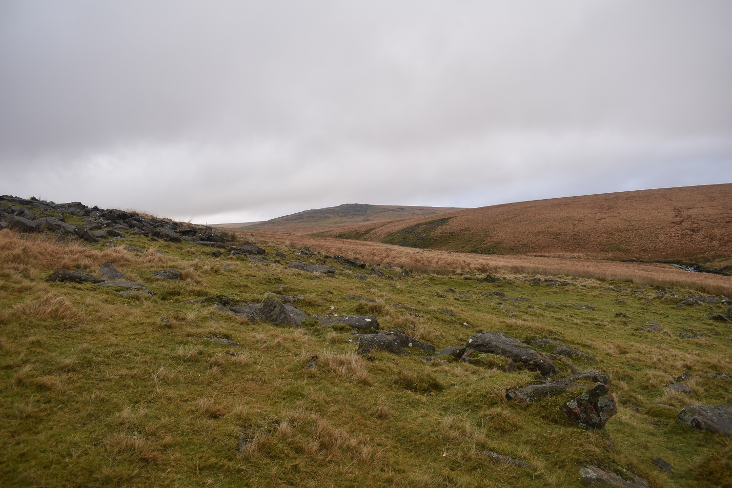
Lane End parking is the start of the Willsworthy Firing range, in fact from here you can easily walk into all three firing areas. Just behind Standon Hill lies the spot where all three join. At one point during this walk I did think about going that way, but not today

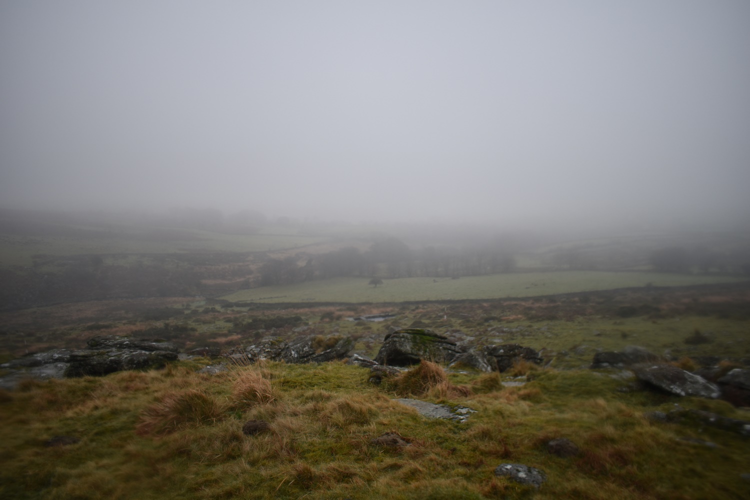
Looking south and its a bit murky

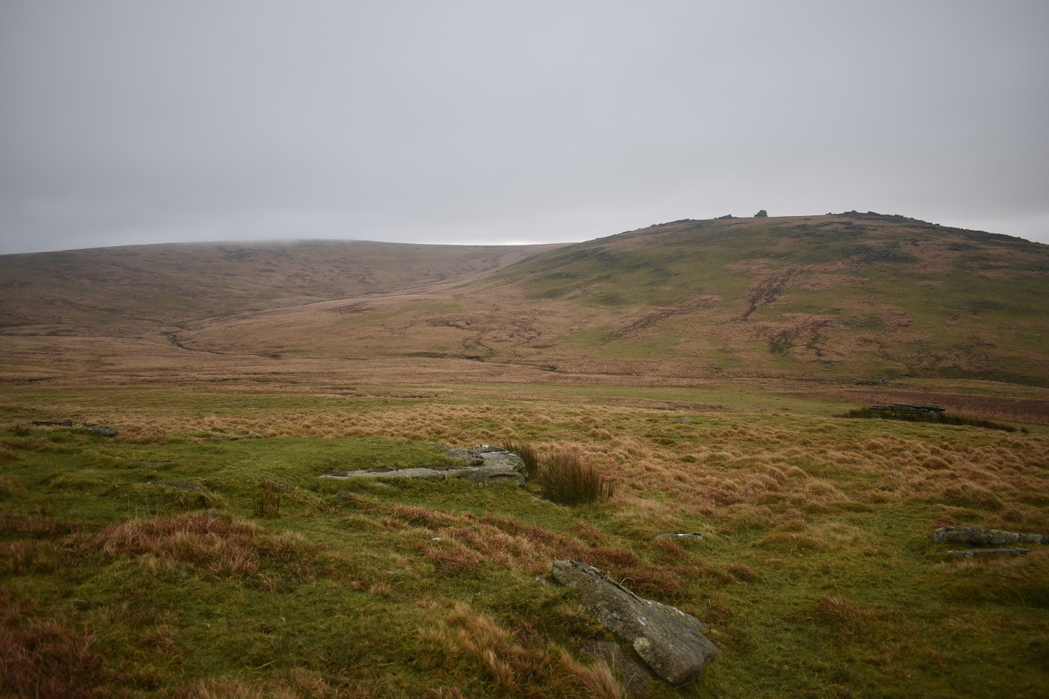
Wheal Friendship Leat is quickly reached, I follow it into Tavy Cleave. That Nat Tor up on the left which will be my last tor of the day

The start of Tavy Cleave, Ger Tor should be up ahead but the cloud has covered it, for now
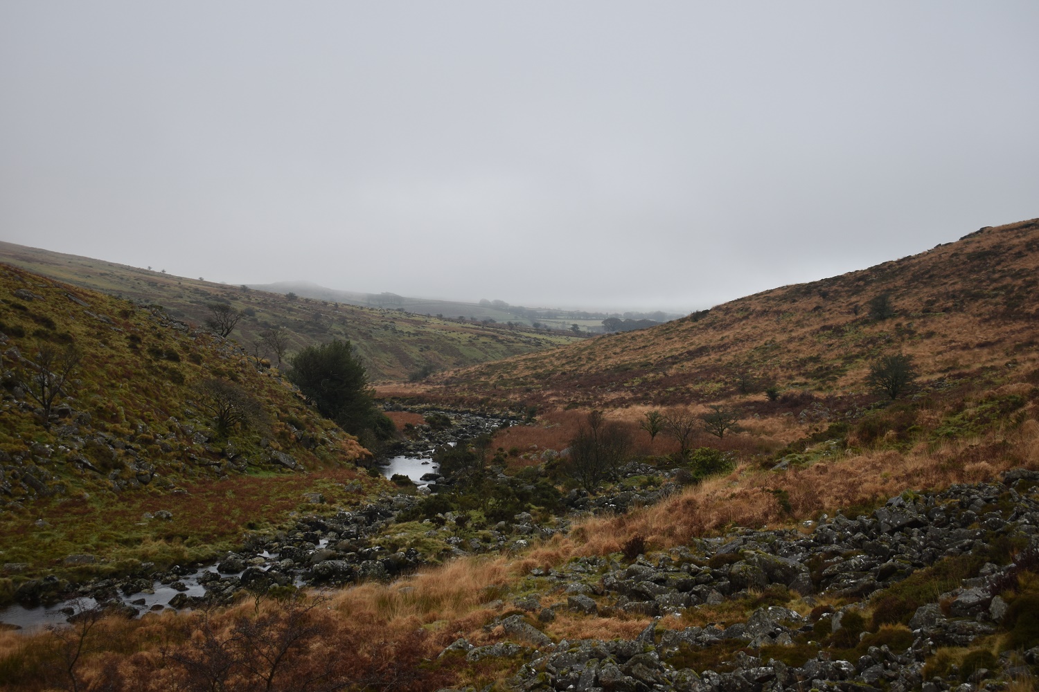
Looking back out of Tavy Cleave and Bagga Tor, dead ahead, sheds its cloudy top
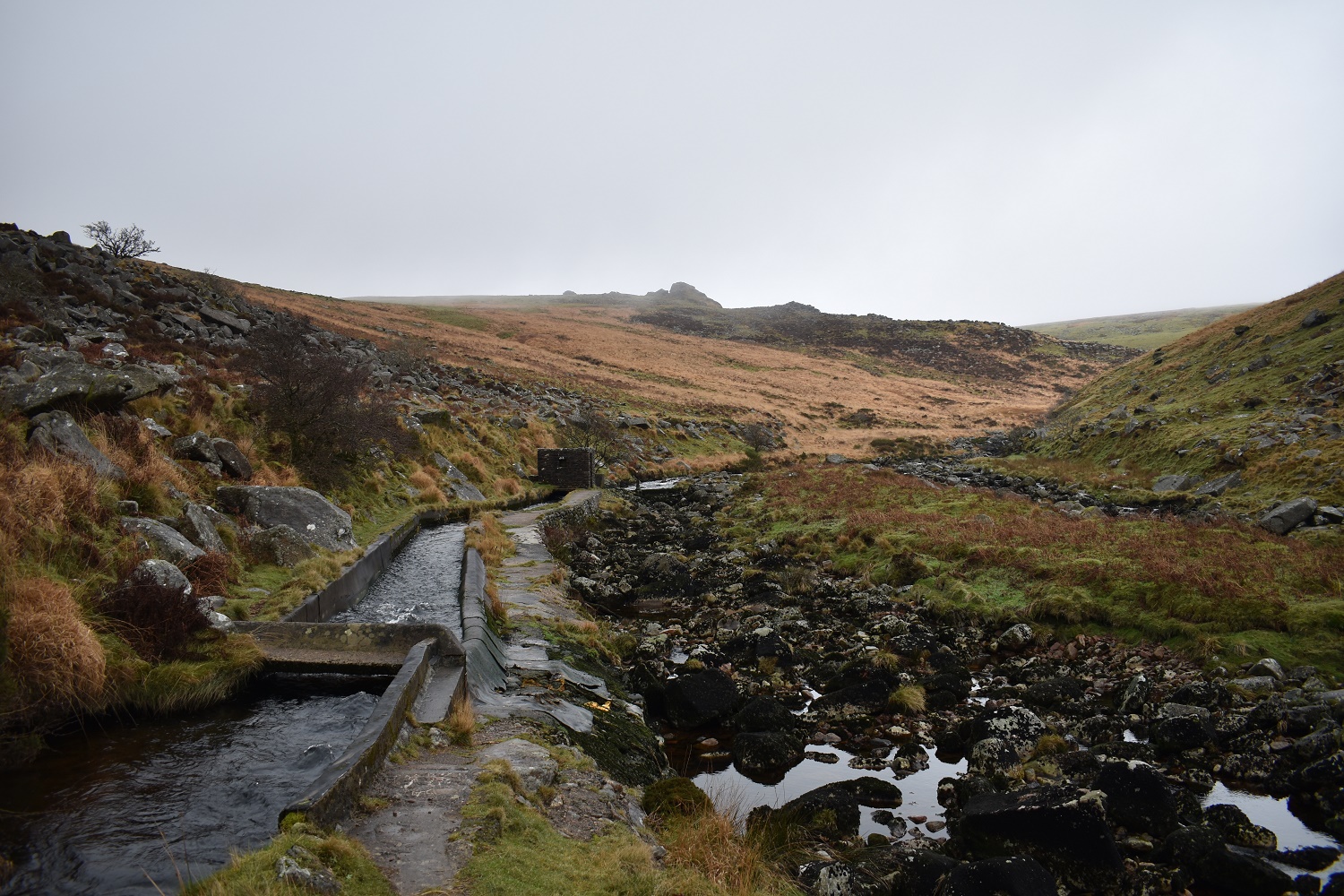
This small building is the start of the Wheal Friendship Leat and it looks as though the cloud has lifted with Tavy Cleave Tors all visible now
Ger Tor, behind me, is also nearly clear as I round the corner
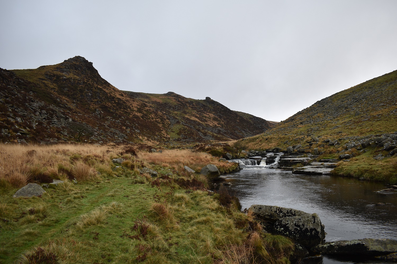
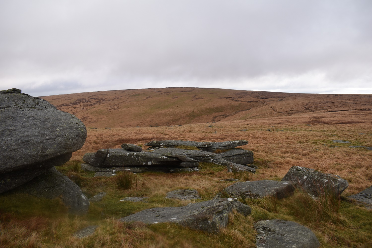
The small waterfall on the River Tavy, Tavy Cleave Tors up to the left and a plunge pool on the right. This is a special spot

On wards through the Cleave as the walls close in and the path gets rockier

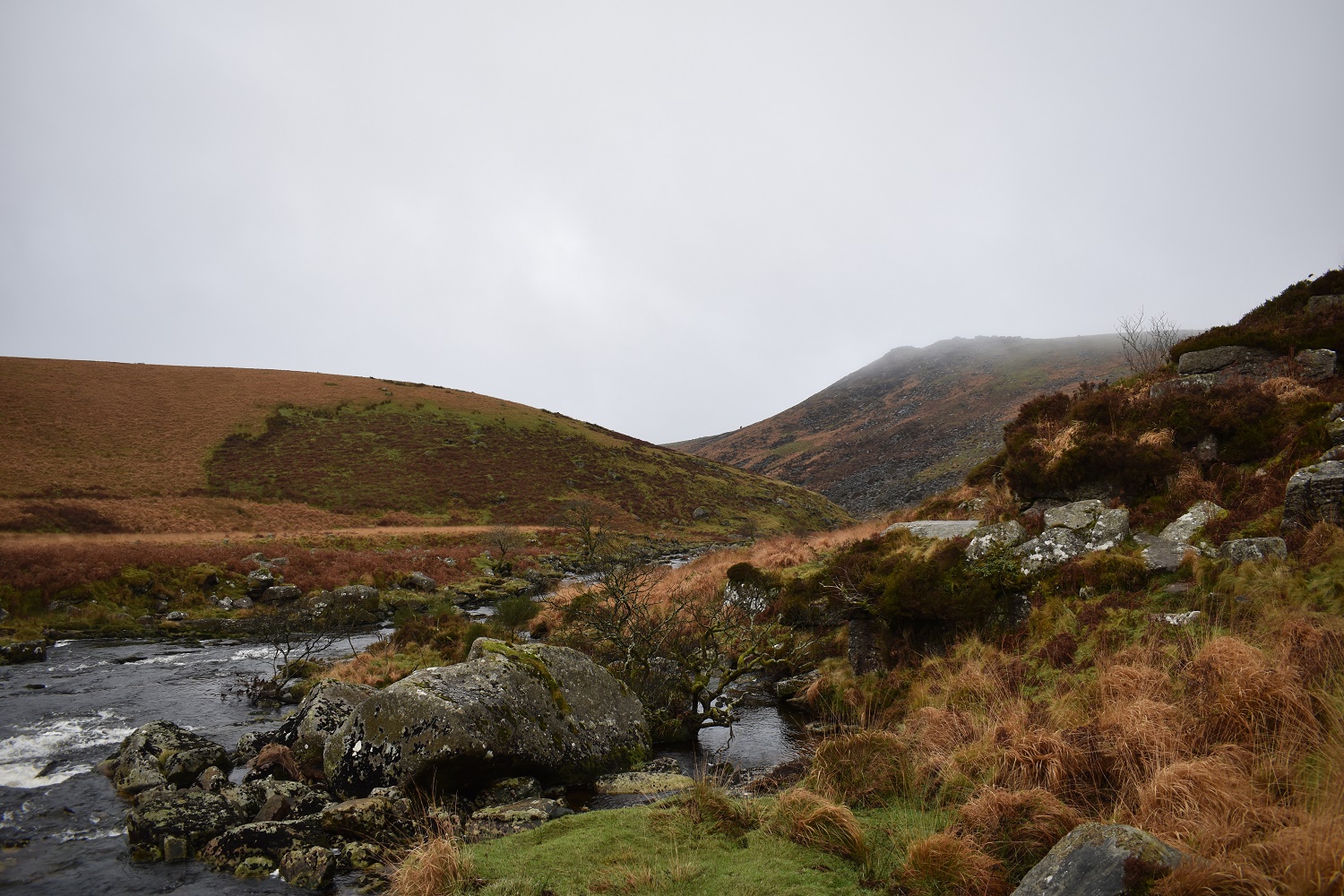
Out of the Cleave at this point. The Rattlebrook comes from the left and the River Tavy is straight ahead. I’m following the latter and heading around Watern Oke
On Watern Oke and I get my first view of Fur Tor
Nearing Sandy Ford and Fur Tor gets a cloud cap
Having headed straight at Fur Tor from the last picture, I turn around to see Hare Tor left and Great Links Tor on the right, both peeking up over the horizon

From Fur Tor looking down to the green of Little Kneeset. In The far distance is the High Willhays ridge

Great Mis Tor to the south also has the cloud on top. North Hessary Tor at Princetown is to the left
Cut Hill from Fur Tor
Looking back at Fir Tor from near the top of Cut Hill
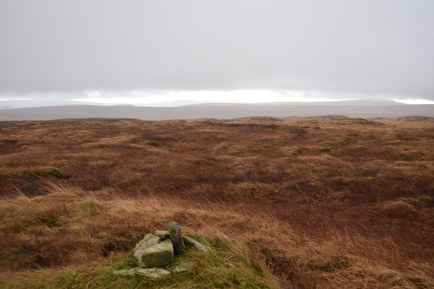
Cut Hill summit

The eagle eyed will spot the dark pyramid shape of Longaford Tor to the south
I’ve walked around to Little Kneeset now with the cloud levels dropping as I walked. Again that’s the High Willhays ridge in the distance
Fur Tor and Cut Hill from Little Kneeset, the cloud has briefly cleared but it will be back
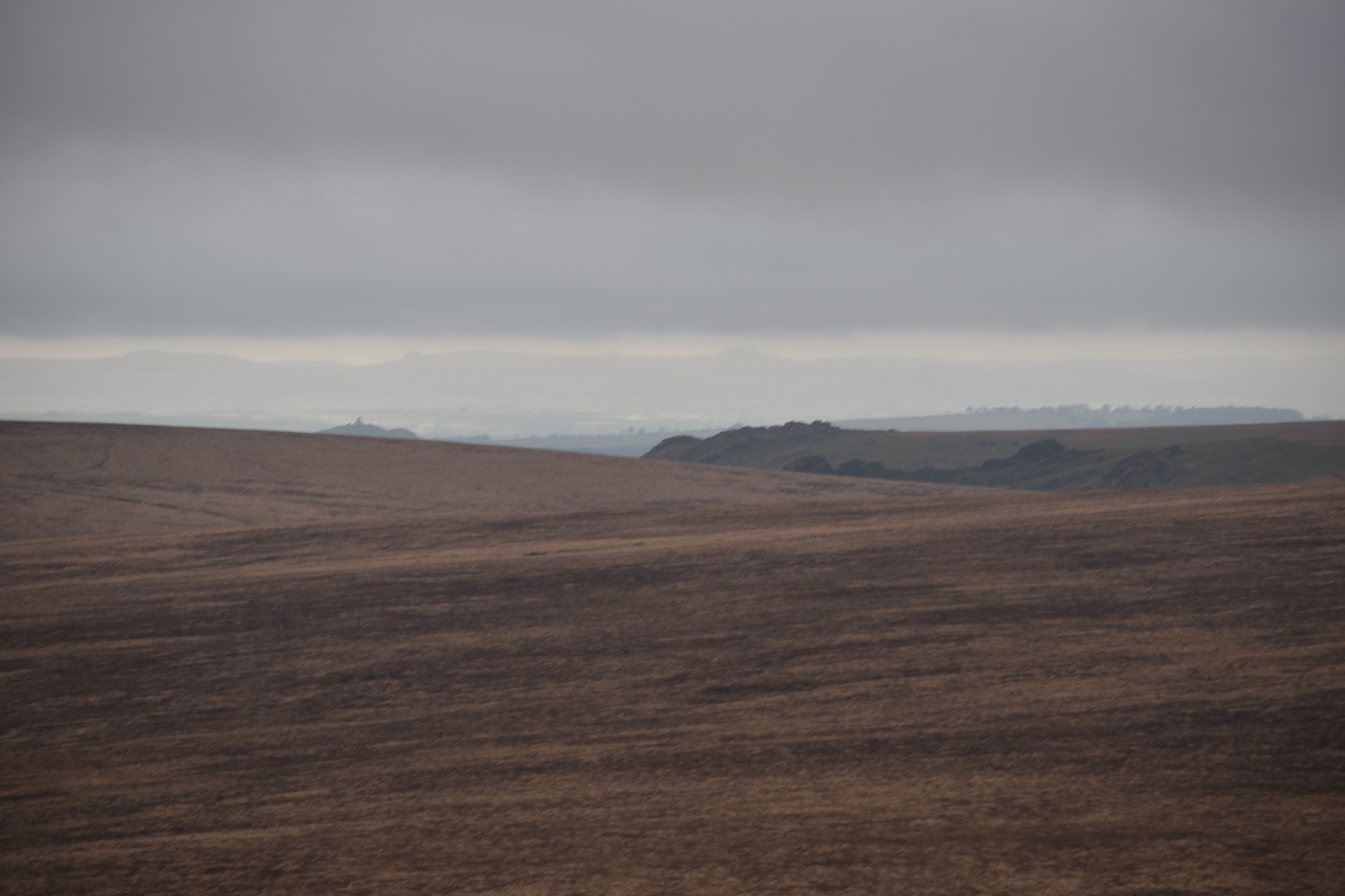
With the long lens on I pick out the Tavy Cleave Tors to the right with a distant Brent Tor to the left
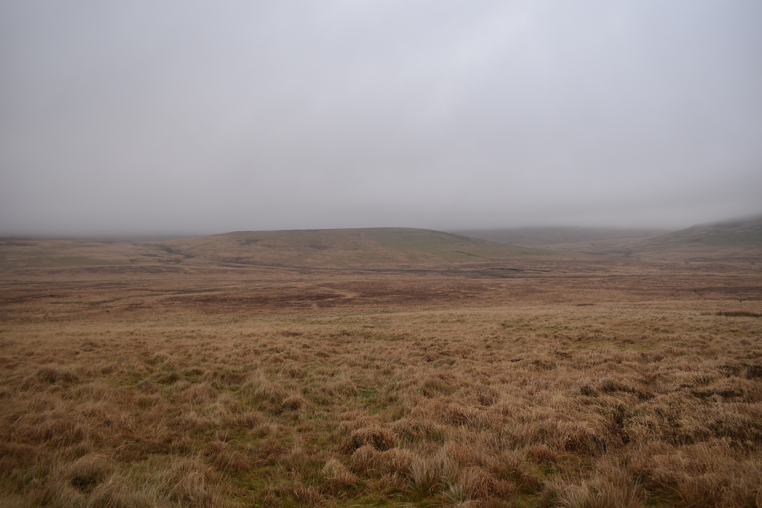
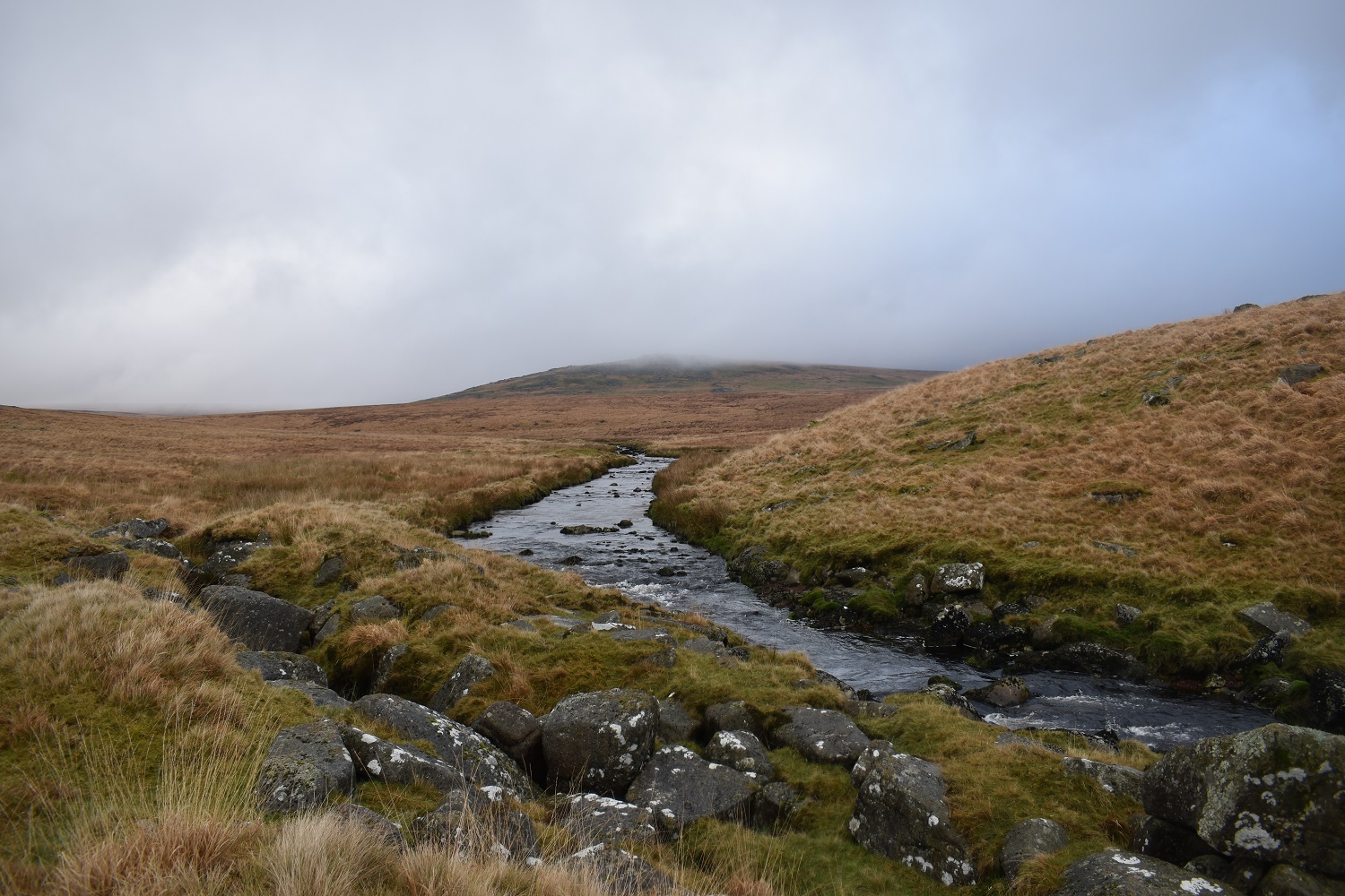
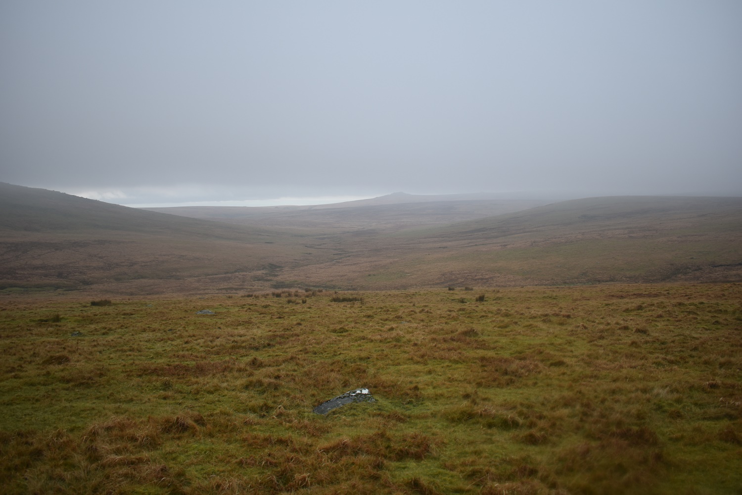
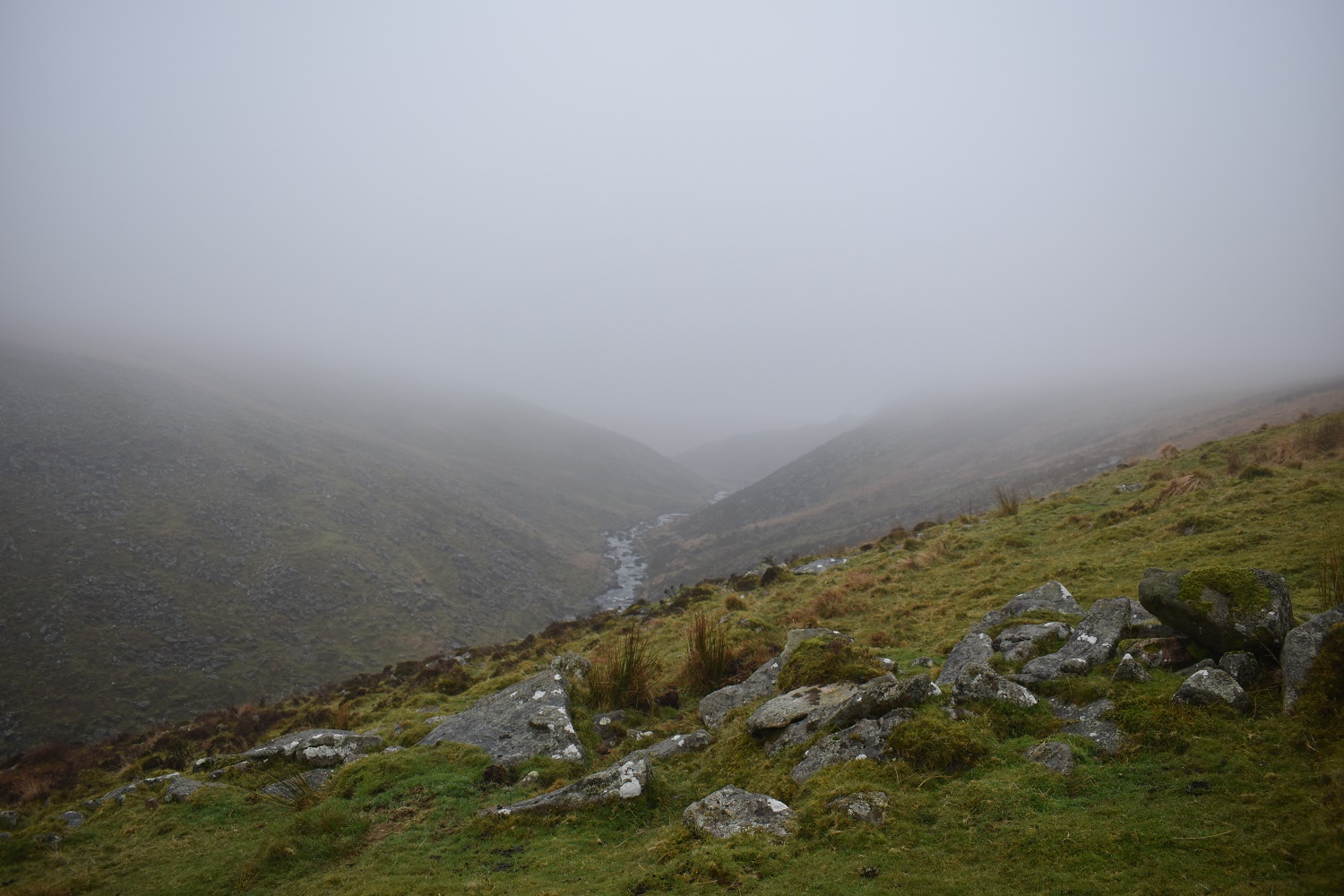
Hmm, this cloud looks like its in for the day.Little Kneeset is across the Amicombe Brook, the area between me and Little Kneeset is especially boggy at this time of year
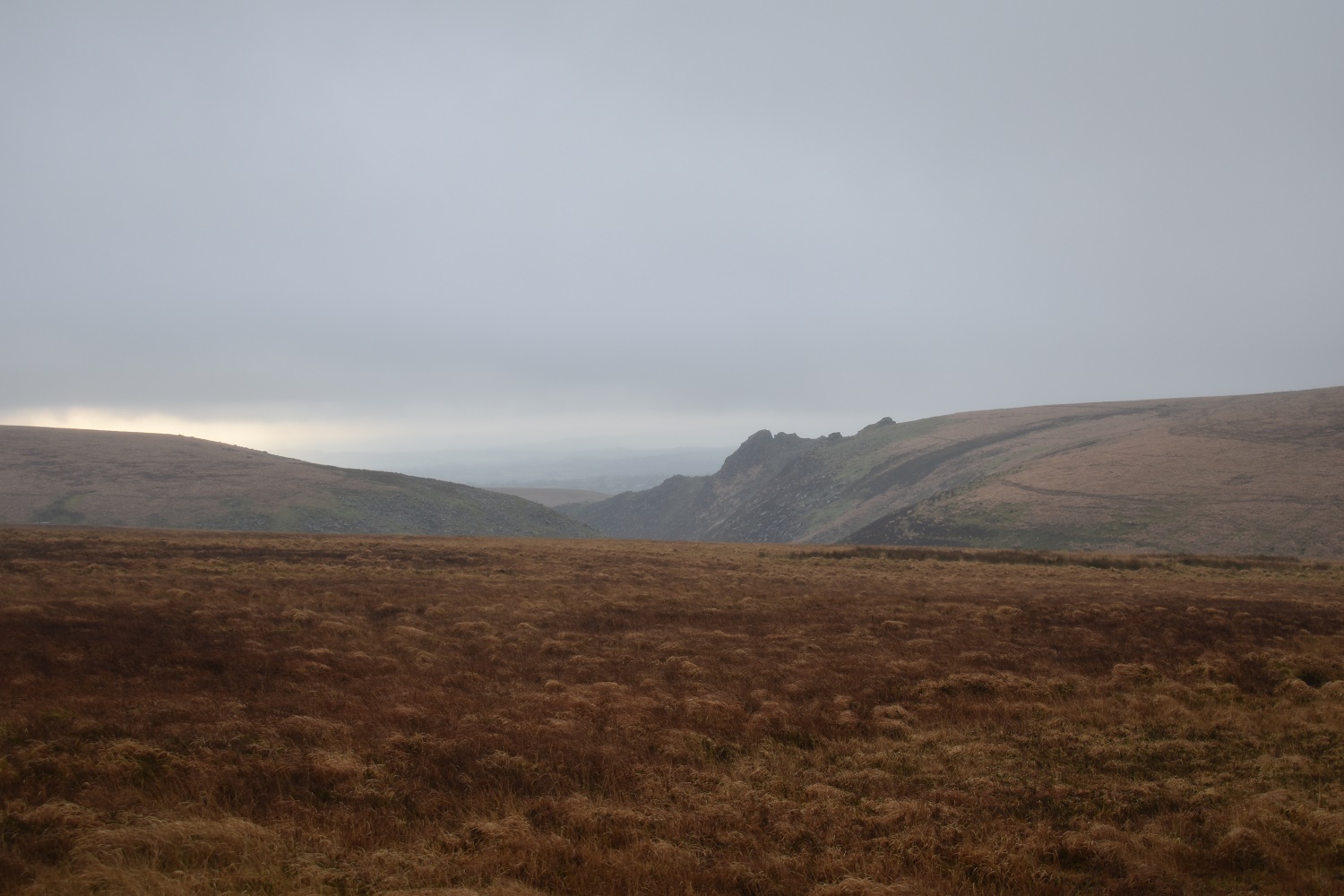
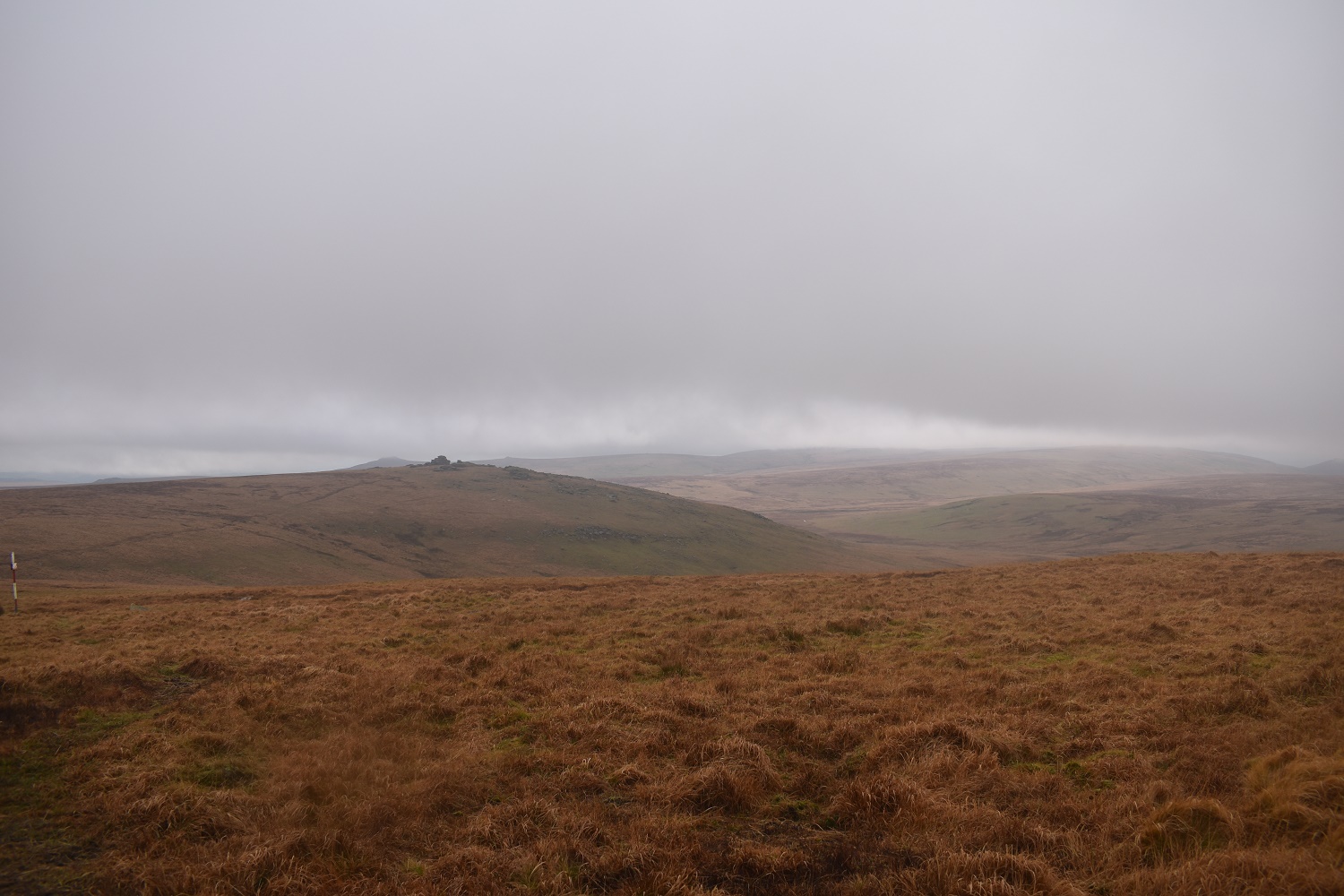
Having crossed Amicombe Hill the Tavy Cleave comes back into view, the Tavy Cleave Tors stand out
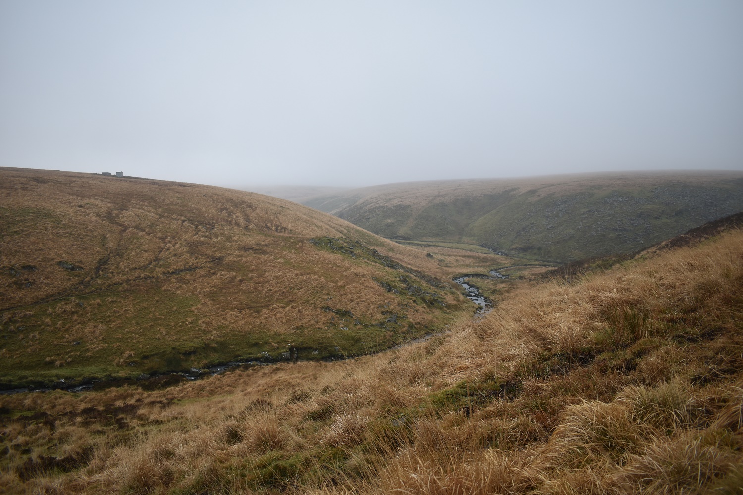
I’ve reached the end of Tavy Cleave again, the valley disappearing away to the left is the one I walked up
A murky Tavy Cleave
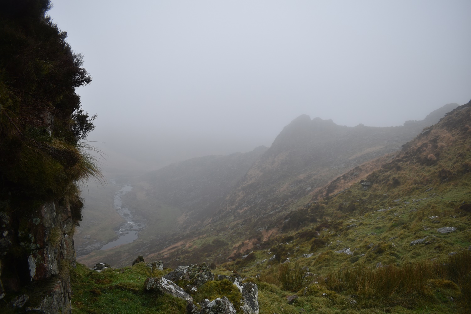
I’m on the first of the Tavy Cleave Tors looking across to the last one, the River Tavy down to the left
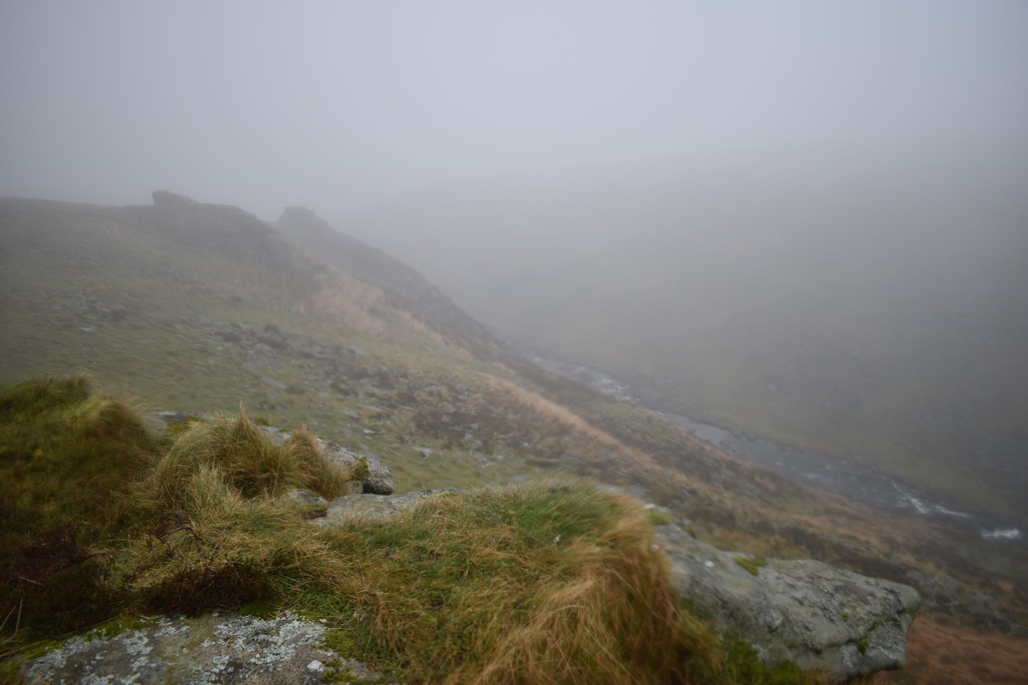
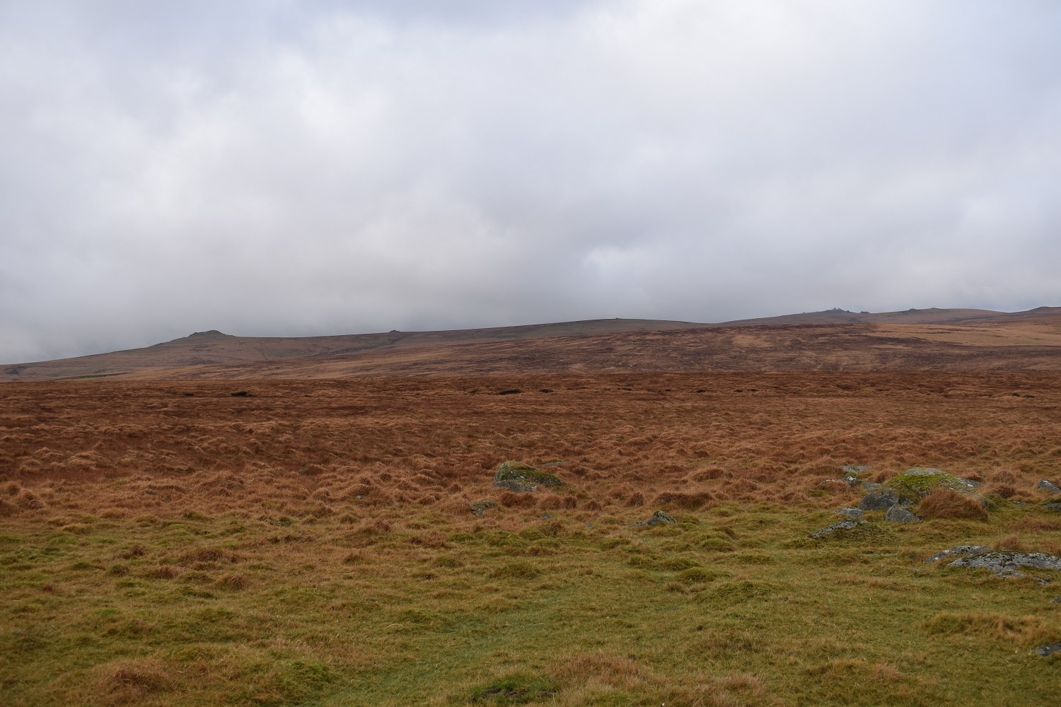
The cloud was getting lower and thicker if anything

This is Ger Tor, not much to see from here today
On Nat Tor now which is my last tor. From here its just a short walk back along the Wheal Friendship Leat to Lane End and the car


We got sold down the river by the forecast last weekend as well. Sounded ok, got up early, drove 3 hours and spent a day in drizzly mist. This one looks like a great route for my next visit to Dartmoor. My son is keen to go to Exeter University so he will have a great online resource to refer to when he starts to explore if that’s where he ends up!
LikeLike
This is a fab walk, it can be very boggy around the Amicombe brook parts, but just follow the sheep tracks and move quickly!! If you don’t have 5-6 hours to spare then you can easily do a shorter version in 2-3, once you get to the end of Tavy Cleave, hang a left up the hill and return along the top over the tors
LikeLike