Scafell Pike and Great End

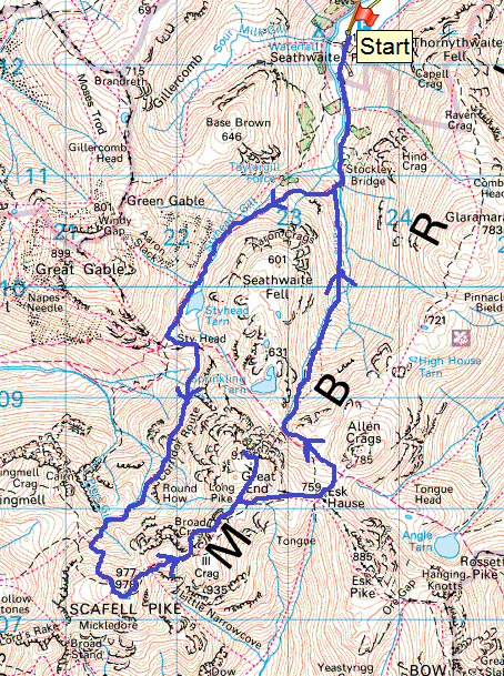
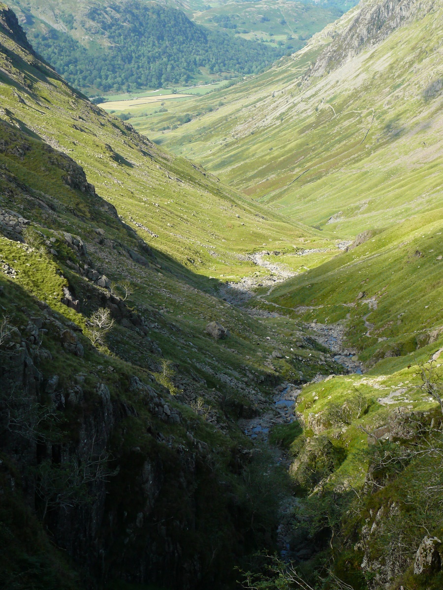
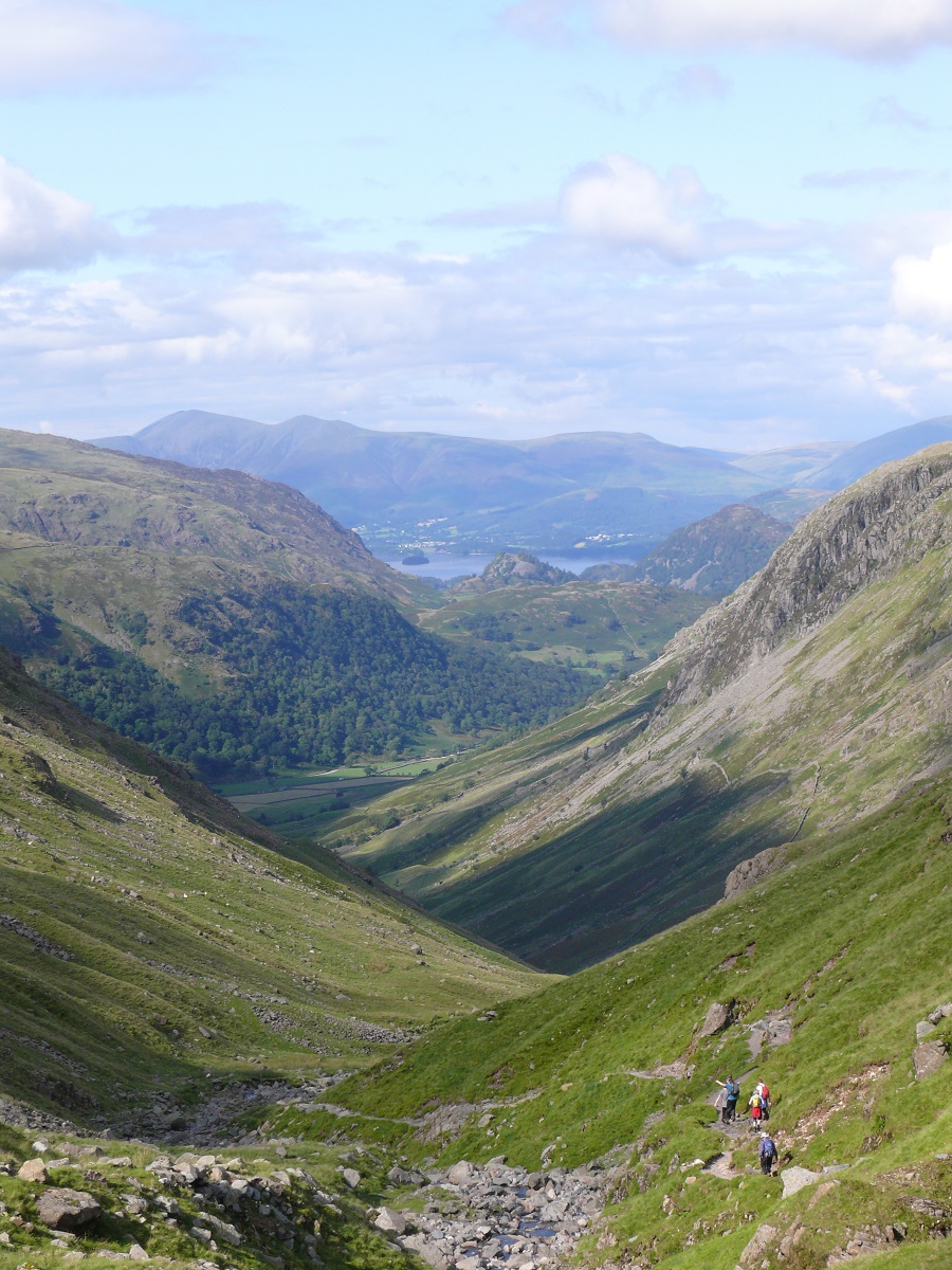
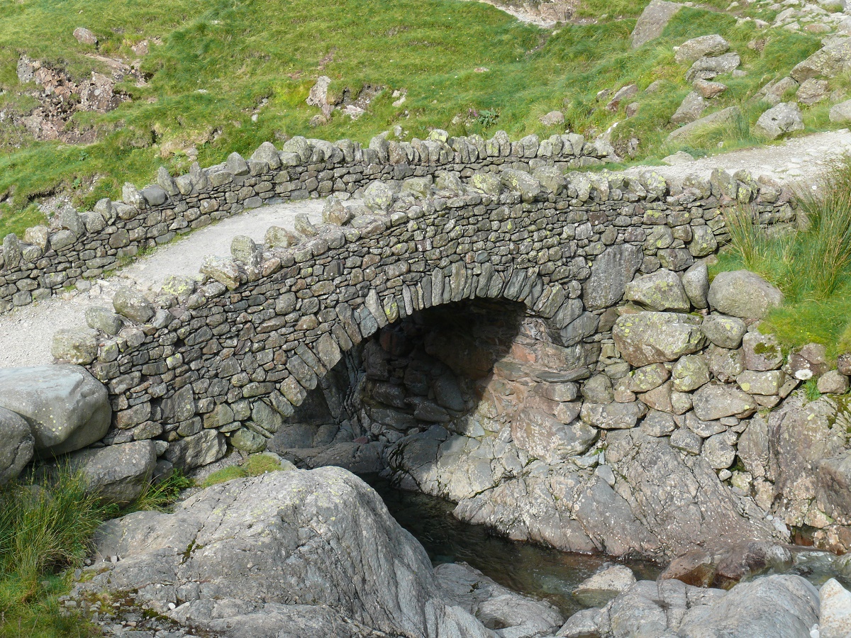
When you look at climbing mountains inevitably you will look to the highest and want to climb it. Scafell Pike is that such a mountain in England. This route was out from Seathwaite Farm and up to Styhead Tarn and then via the Corridor Route to the summit and back over the boulder field to Great End and down Grains Gill to Seathwaite. A fantastic 10 miles!

Start – Seathwaite Farm
Route – Seathwaite Farm – Stockley Bridge – Styhead Tarn – Corridor Route – Lingmell Col – Scafell Pike – Broad Crag – Great End – Esk Hause – Grains Gill – Stockley Bridge – Seathwaite Farm
Distance – 10 miles     Start time – 9.00am     Time taken – 8hrs    Highest Point – Scafell Pike 978m
Weather – Drizzly to Styhead Tarn, then cloud lifted as we ascended. Sunny all the way back.
Scafell pike map

© Crown copyright 2014 Ordnance Survey FL 2014 SF

Starting out at Seathwaite Farm

Starting out at Seathwaite Farm

Stockley Bridge with Grains Gill, our return route, ahead

Stockley Bridge with Grains Gill, our return route, ahead

Looking back to Seathwaite Farm

Looking back to Seathwaite Farm…

...and again from higher up the path to Styhead.

…and again from higher up the path to Styhead.

Styhead Tarn from near the start of the Corridor Route

Styhead Tarn from near the start of the Corridor Route

Cloud swirling around Great Gable

Cloud swirling around Great Gable

Cloud lifts to reveal Styhead Tarn behind us.

Cloud lifts to reveal Styhead Tarn behind us as we negotiate the Corridor Route.

Sun at last in Wasdale, Piers Gill is the ravine on the left

Sun at last in Wasdale, Piers Gill is the ravine on the left

Sunnier weather ahead

Sunnier weather ahead as we climb to Lingmell Col

Lunch stop with a view back to Styhead Tarn from the Corridor Route.

Lunch stop with a view back to Styhead Tarn from the Corridor Route.

Piers Gill

Piers Gill

Sunshine lights up Styhead from the path up to Scafell Pike summit

Sunshine lights up Styhead from the path up to Scafell Pike summit

The summit in sight

The summit in sight

Scafell from Scafell Pike

Scafell from Scafell Pike

Usian Bolt, Olympics 2012, don't ask!! Scafell Pike summit

Usian Bolt, Olympics 2012, don’t ask!! Scafell Pike summit

Neil's decided that fresh socks are needed for the descent. It also helped clear the summit for a while!!!

My brother in law decided that fresh socks are needed for the descent. It also helped clear the summit for a while!!!

From Broad Crag the view down to Lingmell and the top of Piers Gill, with Kirk Fell behind.

From Broad Crag Col the view down to Lingmell and the top of Piers Gill, with Kirk Fell behind.

Moonscape of the boulder field. Looking back at Scafell Pike

Moonscape of the boulder field. Looking back at Scafell Pike

Great Gable on the right and Kirk Fell centre, with Pillar behind.

Great Gable on the right and Kirk Fell centre, with Pillar behind.

Great End summit looking down to Derwent Water and Seathwaite

Great End summit looking down to Derwent Water and Seathwaite

Over Allen Crags to the distant Helvellyn range.

Over Allen Crags to the distant Helvellyn range.

Moody looking Harter Fell with the Duddon estuary just visible beyond.

Moody looking Harter Fell with the Duddon estuary just visible beyond.

Heading for Esk Hause with the Langdale Pikes catching the sun.

Heading for Esk Hause with the Langdale Pikes catching the sun.

Grains Gill

Grains Gill, our descent route

Descending Grains Gill with Derwent Water and Skiddaw in the distance.

Descending Grains Gill with Derwent Water and Skiddaw in the distance.

Back at Stockley Bridge and a much needed head dunk to cool off!!

Back at Stockley Bridge and a much needed head dunk to cool off!! What a brilliant walk to the summit of England