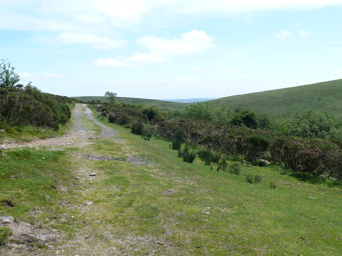
This is lovely family walk, with a good tarmac path 95% of the way following the course of the River Avon as it heads downstream from the Avon Reservoir. The weather was warm and sunny and a paddle in the river was needed to cool off with a picnic!!
| Start – Shipley Bridge |
| Route – Shipley Bridge – Avon Dam – Shipley Bridge |
| Distance – 3.5 miles Start time – 12.15pm Time taken – 2hrs Highest Point – Avon Dam although not much ascent needed |
| Weather – Sunny and warm. |
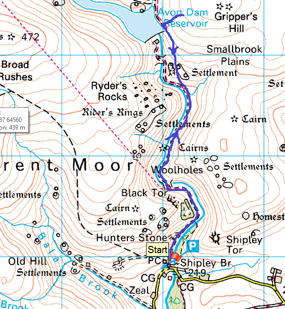
© Crown copyright 2014 Ordnance Survey FL 2014 SF

Heading out on the tarmac path to Avon Dam

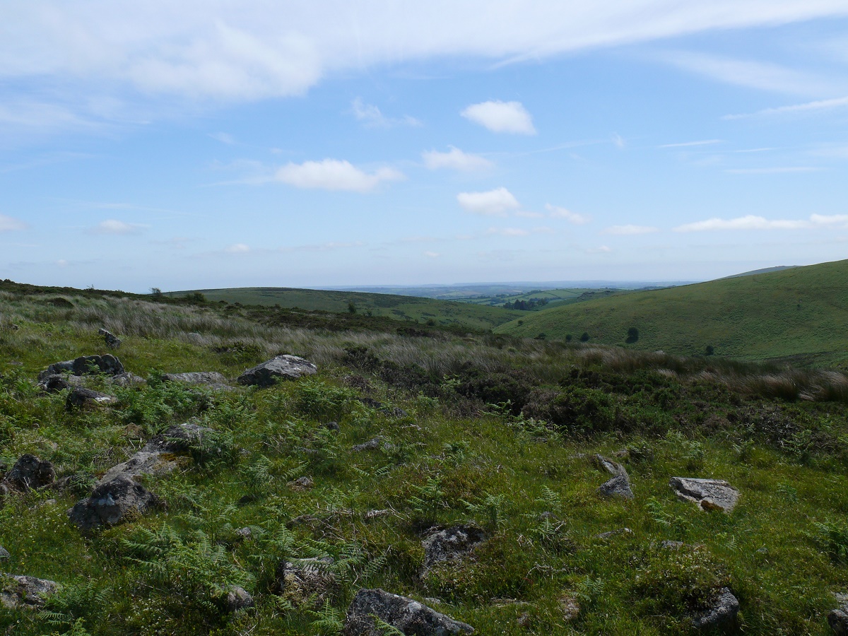
Looking back, the River Avon on the left

Black Tor sits above the route

After the paddle, two happy boys!

A young native keeps watch

Avon Reservoir
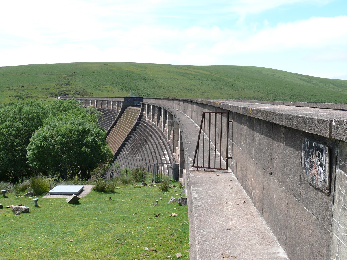
Avon Dam
Looking back along the last part of the path
Slight ascent of Grippers Hill to catch the view back towards Shipley Bridge

From the same spot looking down on the dam.

Heading back to the car


