November and a week booked in the Lakes. Not normally a choice for many but the hardiest of walkers. I’ve been quite a few times now in the half term at the end of October, this time we chose the second week in November. I figured that the 2 weeks won’t make too much difference, with the daylight hours not too dissimilar (depending on when the hour changes) and the weather likely to be wet and windy. We figured we’d make the best of it. As we set out from Plymouth on the 400 miles drive at 5am, I’d looked at the weather which was set for some sunshine and blue skies. My thoughts changed from a leg stretch at Grasmere to maybe a fell, one that I could get parked at, considering it would be midday when we got there. Wetherlam kept coming up, its a 5 mile walk so doable in the time we had (I wanted to be off the hills by 4pm each day so as not to get caught out by the darkening days) and also the parking at Tilberthwaite is fairly big and with a possibility of a free space. So we came off at junction 36 and headed for the A593 and the Tilberthwaite turn off (which I missed first go). Parking was found and we booted up and set off for the path on the southern side of Tilberthwaite Gill. The weather overhead was ok ish, dark clouds loomed, some patches of sunshine and some rain in the distance. We figured we’d go for it. I’d looked at the routes and I liked the look of Steel Edge to get up to the summit quickly, we got to its foot quickly and had our lunch sat looking up at it. Its a great route up, some small bits of scrambling, which in the bits of drizzle we had were manageable. The cloud dropped as did more drizzle as we neared the summit so we didn’t linger too long before we headed off for Wetherlam Edge and our descent, in the dry this would be a fairly simple way down, in the wet, with slick slanted smooth rocks it was very tricky, but we took our time, loving the views which kept opening up to the Fairfield Horseshoe. Wetherlam Edge is longer than Steel Edge so we’d have been better doing this the other way around, however we loved this walk and stayed away, were possible, from any tricky descent sections. One for the ‘best of’ list at the end of the year I reckon.
Start – High Tilberthwaite
Route – Tilberthwaite Gill – Steel Edge – Wetherlam – Wetherlam Edge – Birk Fell Man on Birk Fell – Tilberthwaite Gill – High Tilberthwaite
Distance – 5 miles Start time – 12.10pm Time taken – 4hrs Highest Point – Wetherlam 763metres
Weather – Dark clouds and some drizzle throughout, some patches of sunshine. Cloud down at the summit briefly.
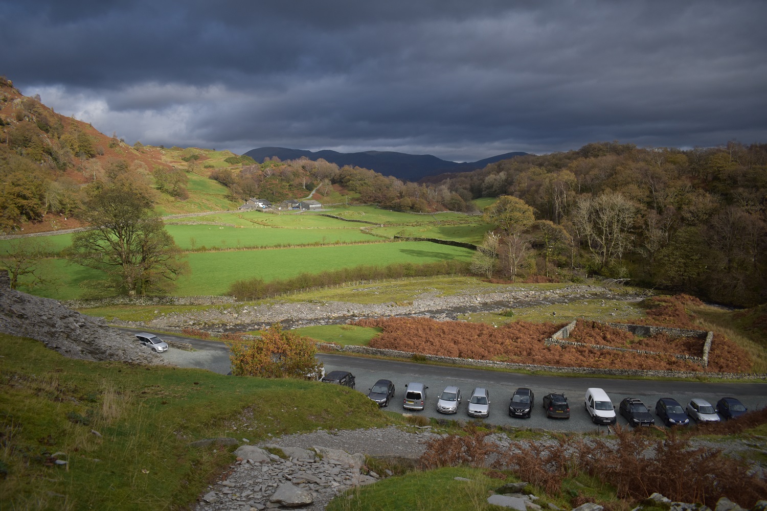
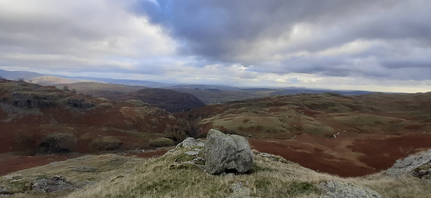
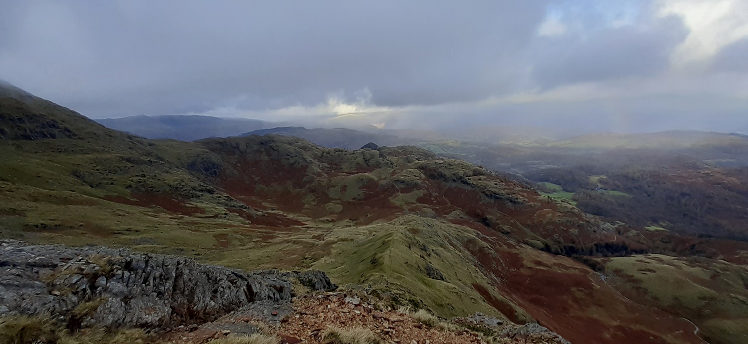
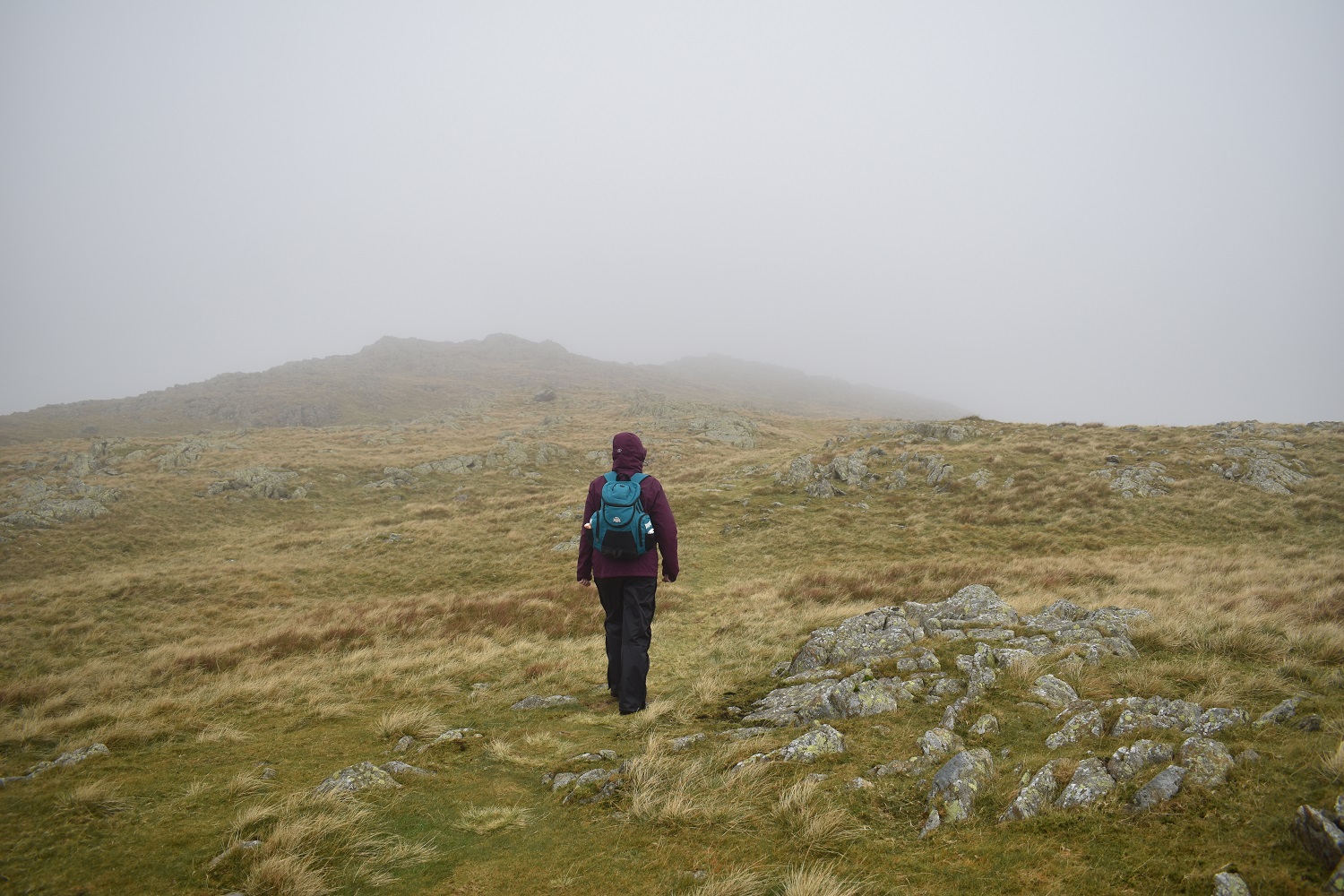
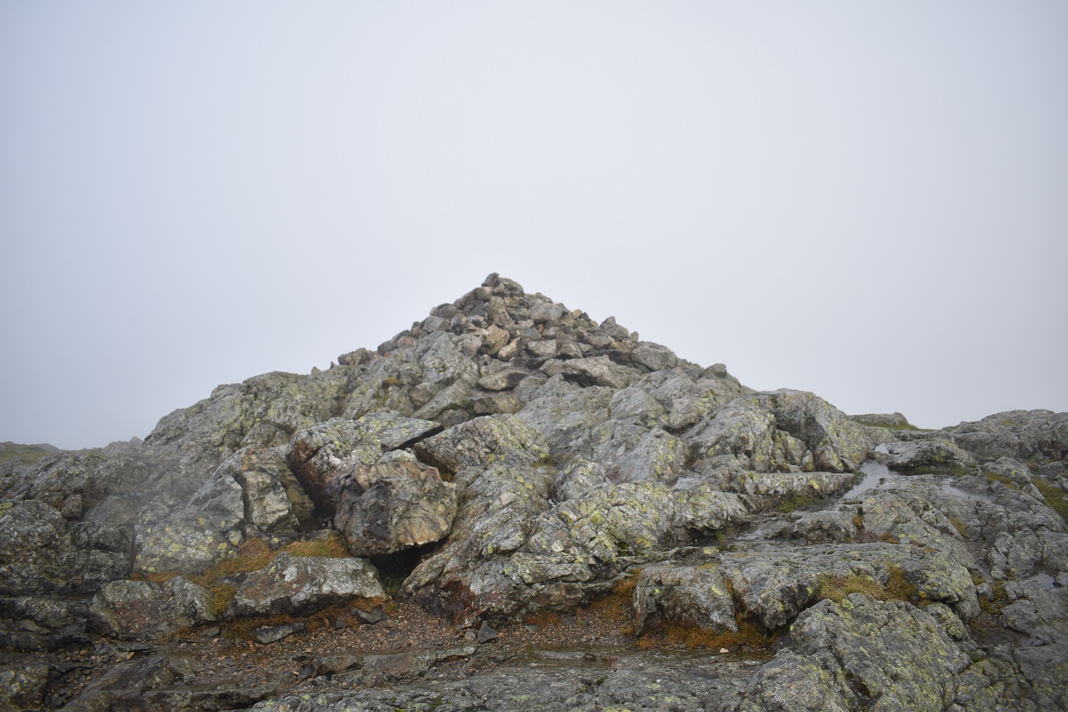
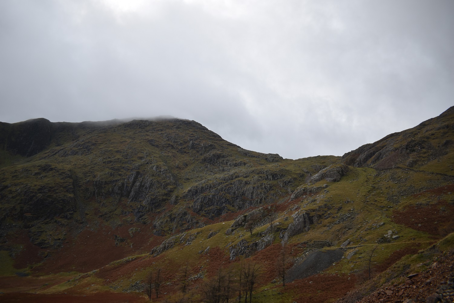
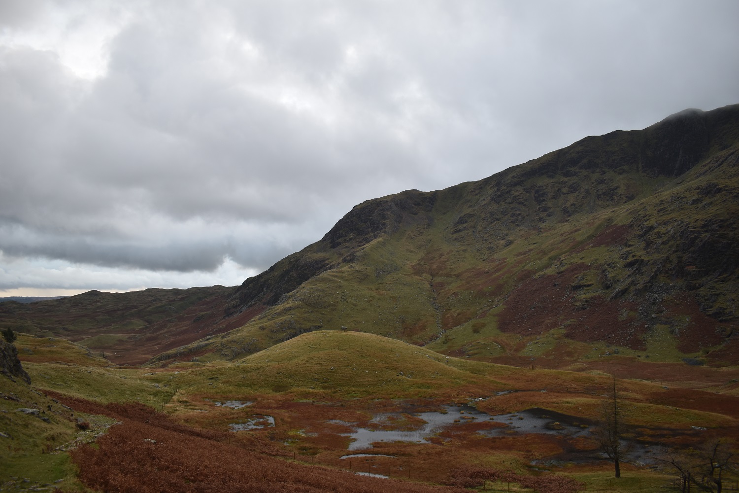
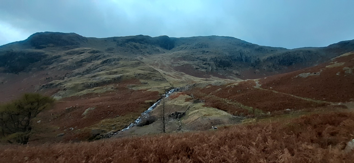
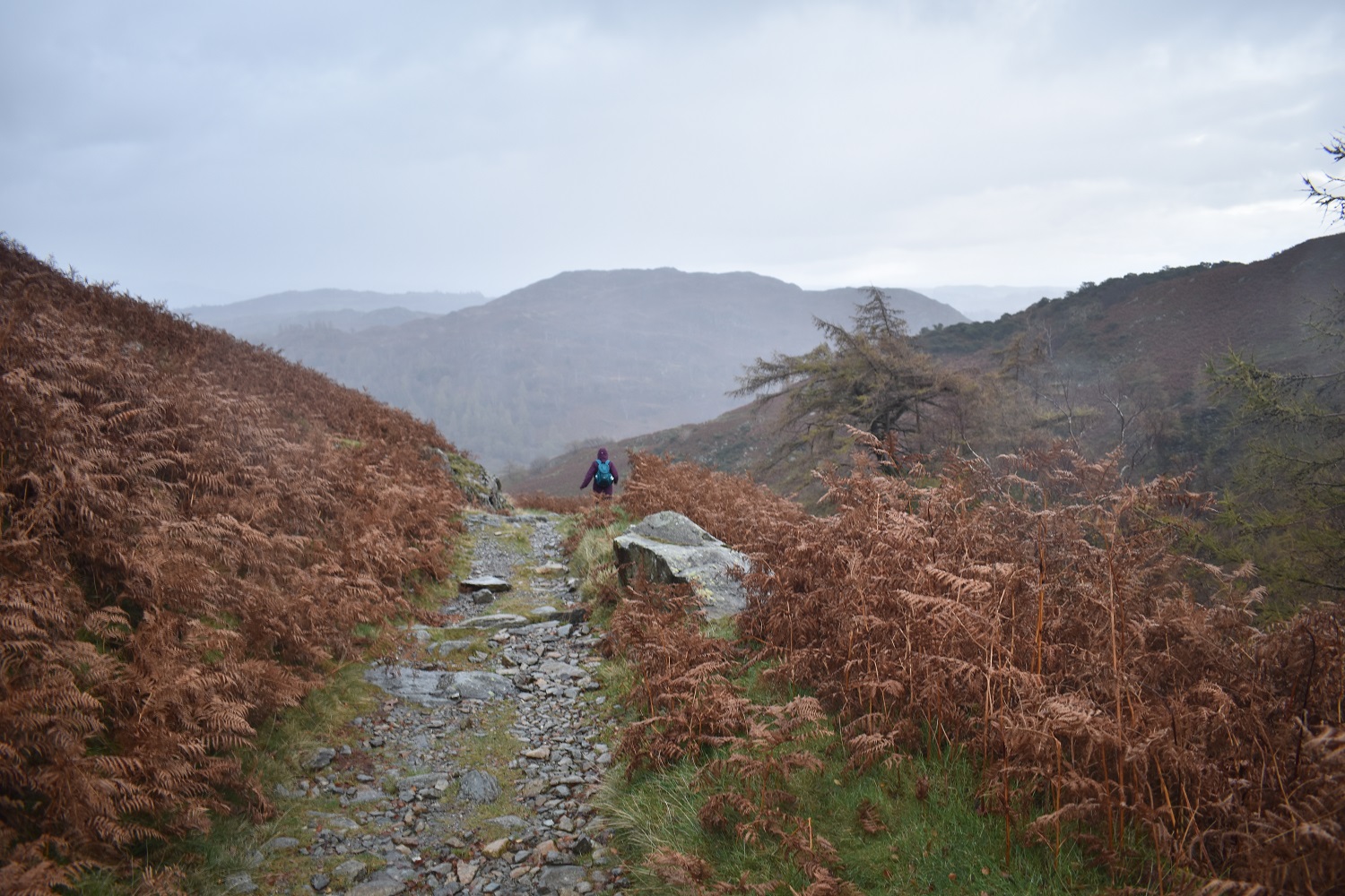
So 6hrs and 45mins after leaving Plymouth we arrive at Tilberthwaite, find a parking spot and set off for Wetherlam, dark clouds are all around but hopes are high for a mostly dry walkThe Tilberthwaite quarries dominate this landscape and right from the start you pass oneA quickly rising path gives a first view to Wetherlam and a cloud free summit, which is good. The other path which heads down there to the right is currently closed due to the bridge being out, we didn’t fancy the drop and re ascent anyway so stayed on this side on a good path, with one bit of easy scrambling neededLooking back down to a sunlit Little Langdale, the slopes of Great Intake on the left and at the back the high fells around Red Screes and FairfieldLooking south to the fells above ConistonHeading up Steel Edge now, a bit scrambly in places but very manageable, looking in the direction of Windermere here, with our ascent route, Tilberthwaite Gill the dark tree lined cleft in the centreLooking down Steel Edge as rain sweeps through in the distance, more hit us about 5 minutes after this photoAnother look down Steel Edge and over Great IntakeA few spots of rain on the lens as we pass through the Lad Stones section and turn right up to the final bit of WetherlamAll the time the cloud is dropping, Coniston Old Man would be up there on the right normallyLinda on the last part to the cairn at WetherlamWetherlam summit, we didn’t linger too long as there wasn’t a view, there was drizzle and we wanted to make sure we got down before it was too dark. It wasn’t too far to drop before we got below the cloud base anywayThe clouds lift a bit to give a view down to Blea Tarn, which would normally be backed by the Langdale PikesThe wonderful Wetherlam Edge, lots of the rocks here were tilted, slippy and wet so we stuck to grassy sections were possible, this meant a bit of off path zigzags but it worked for us. Birk Fell is at the far end of this ridge and we are heading to that
Linda working her way down one of the easier parts of Wetherlam Edge. Windermere in the distance
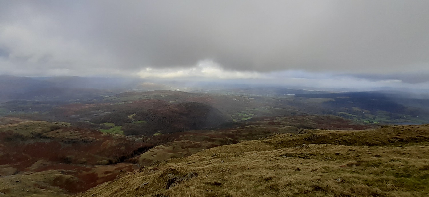
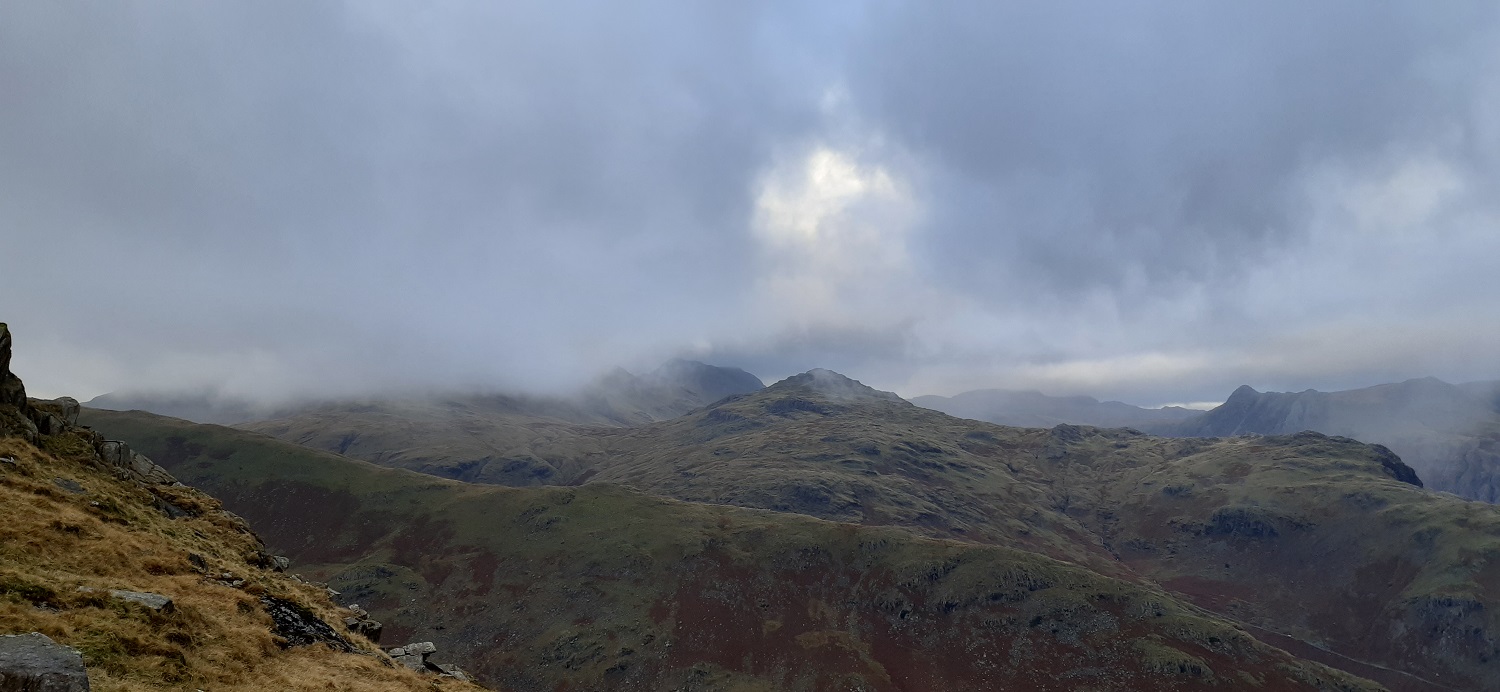
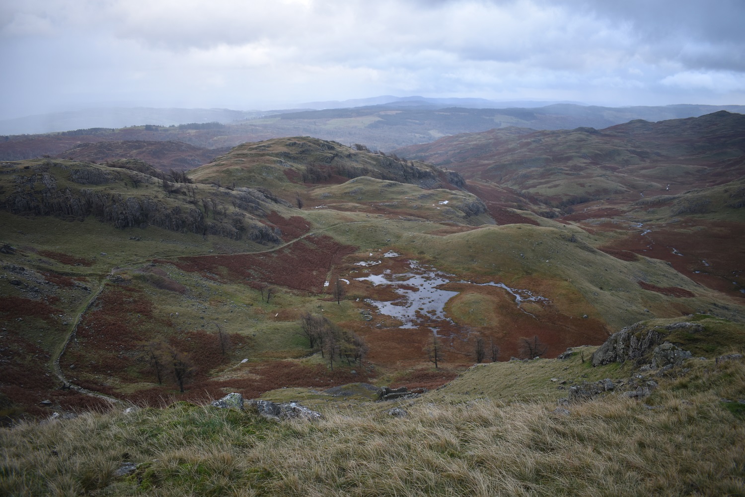
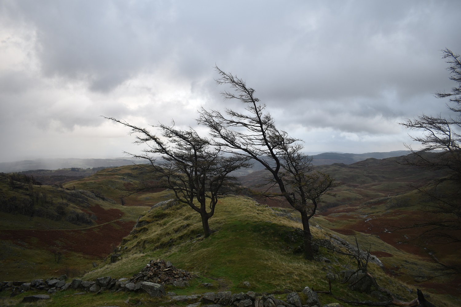
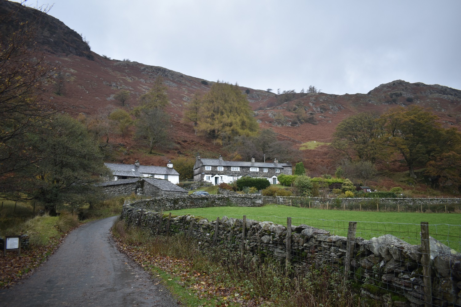
The Langdale Pikes appear as the cloud rises furtherPike O’Blisco just clearing the cloud and Bowfell the dark looming shape behind it. Pike O’Stickle the obvious pointy fell on the rightLooking back up Wetherlam EdgeAnd our view down the remainder of the walk, the obvious path is easily reached by a zigzag path from where I am now, which is on Birk FellI quite liked these trees as we reached the main path, no guesses for the prevailing wind directionAnother look back to Wetherlam Edge, like before the ascent of Steel Edge, we’d sat at the foot of Wetherlam Edge for another brew stop, looking up at our accomplishmentsI like this view of Steel Edge as it curves up towards Lad Stones at the top, the last part is were the scrambling isStarting to darken a little now as Wetherlam clears itself of the cloudHowever drizzle is always around and we are hit by one last shower as we descend on the path to the north of Tilberthwaite Gill. Holme Fell is dead aheadBack down at the cottages and the car after a fantastic walk, the weather wasn’t too bad and considering what we were about to walk in over the next few days it was positively tropical. Glad to be back up here and one more fell off my list, leaving me with 24 to do. We were staying in Bassenthwaite so the plan was to pick off a few around the Skiddaw area over the next few days, so we headed to the rented cottage for some food and map planning.
In ascent Wetherlam Edge will probably be much easier, and Steel Fell isn’t too bad for a descent especially if it was dry. The other options are to come up from the Prison Band direction which looks simple or to walk over Above Beck Fells along the path that reaches to top of Lad Stones and then up
Excellent mountain although I’ve never explored the Tilberthwaite area or the routes to the fells from there. 6 hour drive and a major peak in the same day, that’s keen-ness for you!


You are very keen getting up there straight after a long car journey. 🙂
LikeLiked by 1 person
Had to make the most of the weather! Some of the other walks involve a bit of rain
LikeLiked by 1 person
Another favourite of mine
LikeLiked by 1 person
So how was the descent of Wetherlam Edge? I came up that way the other day and really wouldn’t have fancied it in the other direction
LikeLiked by 1 person
It was very tricky, we took our time, slid down on our backsides for sections of it. It needs care in the wet for sure.
LikeLike
A nice report – I still have this one to do. I don’t fancy your descent route much, though – even with the use of the AC!
LikeLiked by 1 person
In ascent Wetherlam Edge will probably be much easier, and Steel Fell isn’t too bad for a descent especially if it was dry. The other options are to come up from the Prison Band direction which looks simple or to walk over Above Beck Fells along the path that reaches to top of Lad Stones and then up
LikeLike
Excellent mountain although I’ve never explored the Tilberthwaite area or the routes to the fells from there. 6 hour drive and a major peak in the same day, that’s keen-ness for you!
LikeLiked by 1 person
Keen-ness is one word, madness might have been another. Brilliant fell though and the two edges on the Tilberthwaite side are superb
LikeLiked by 1 person