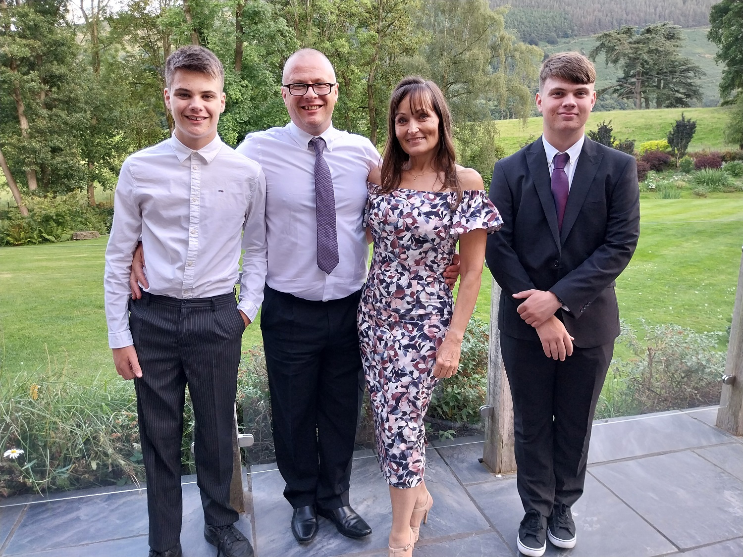
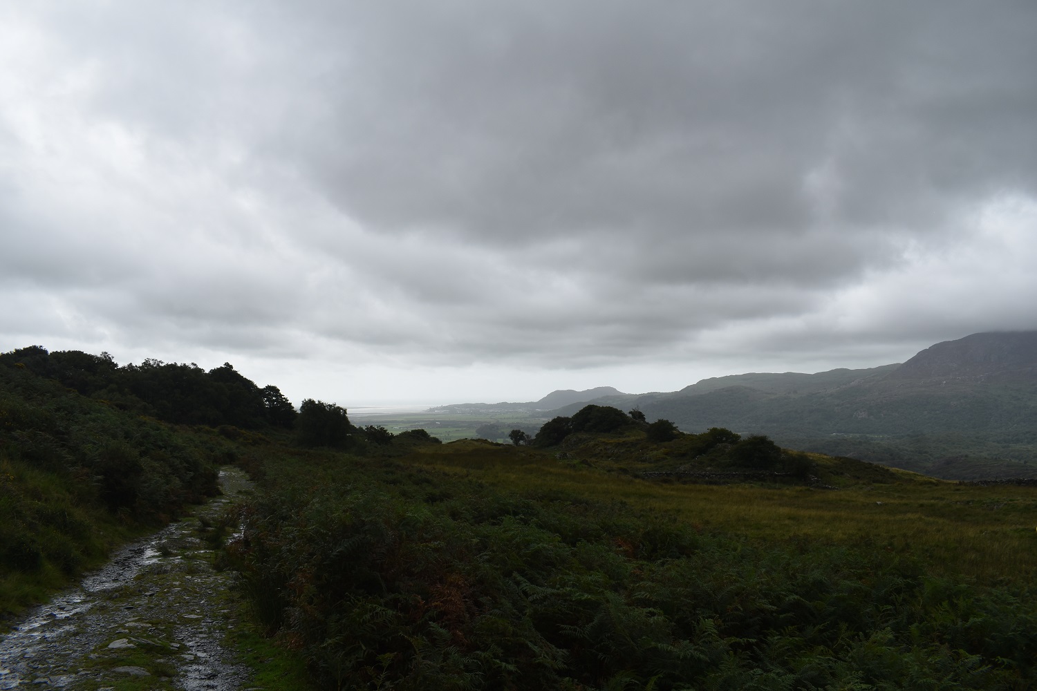
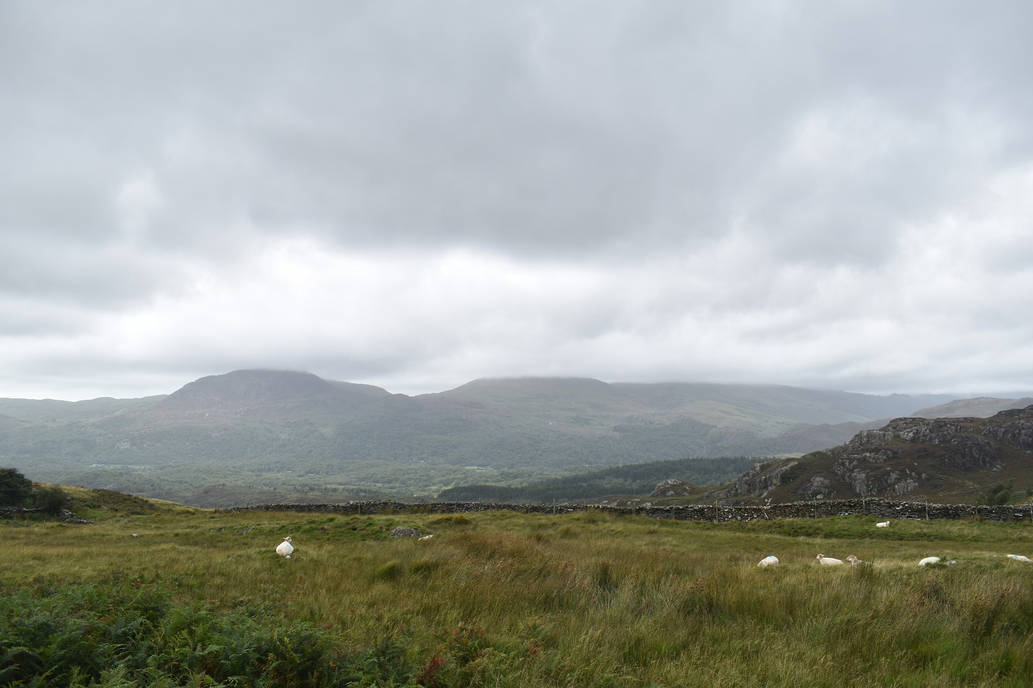
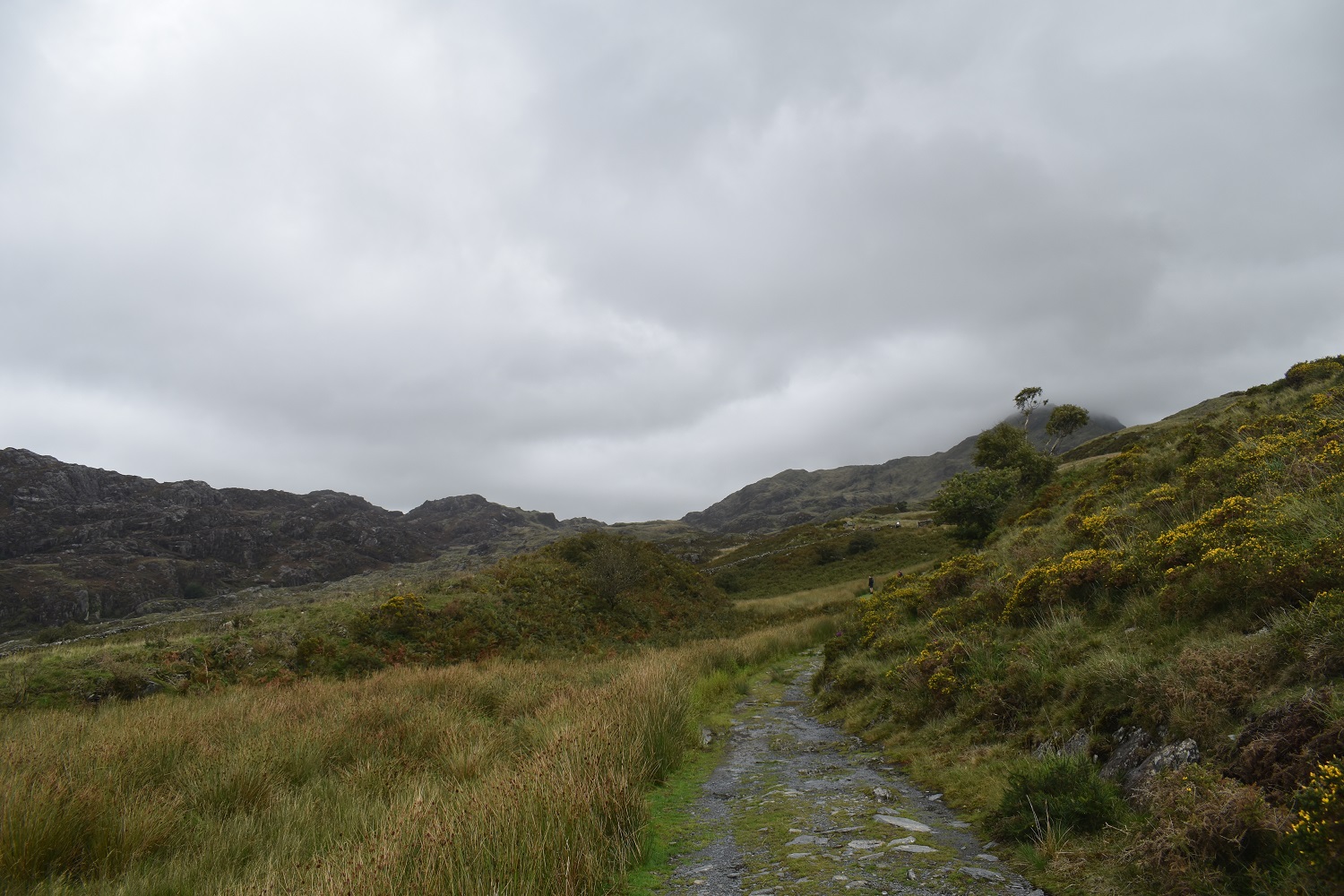
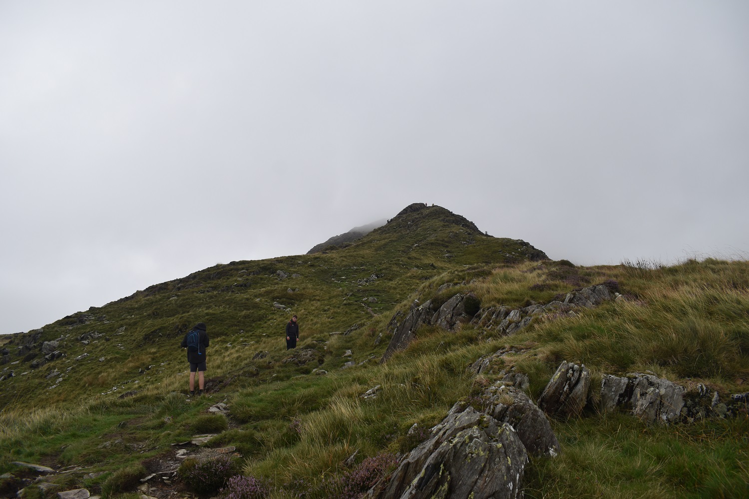
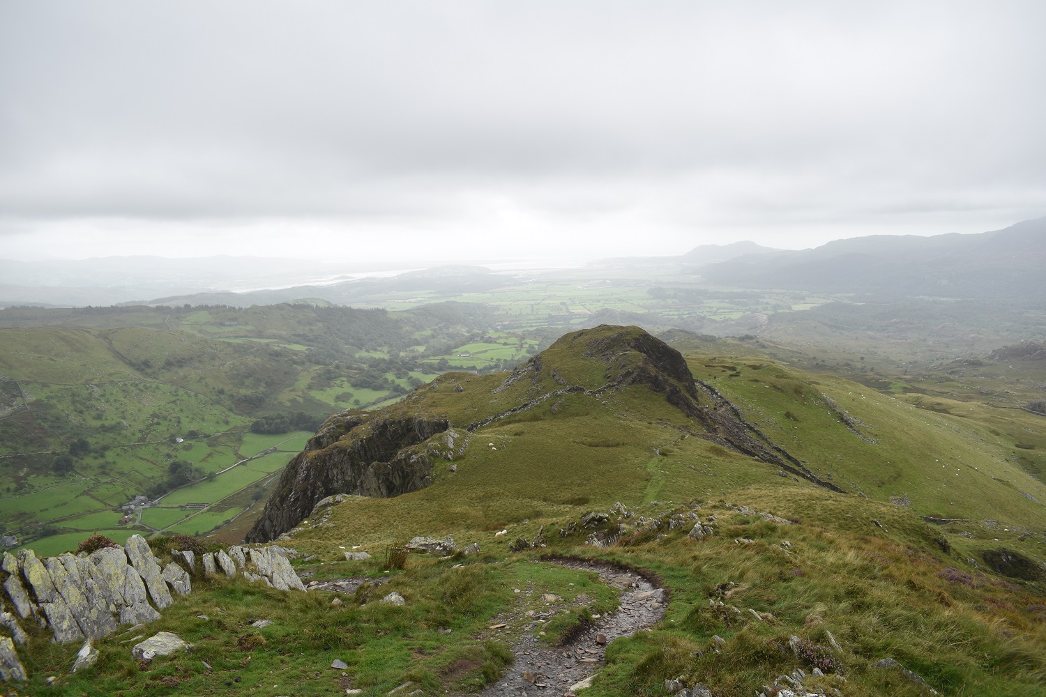
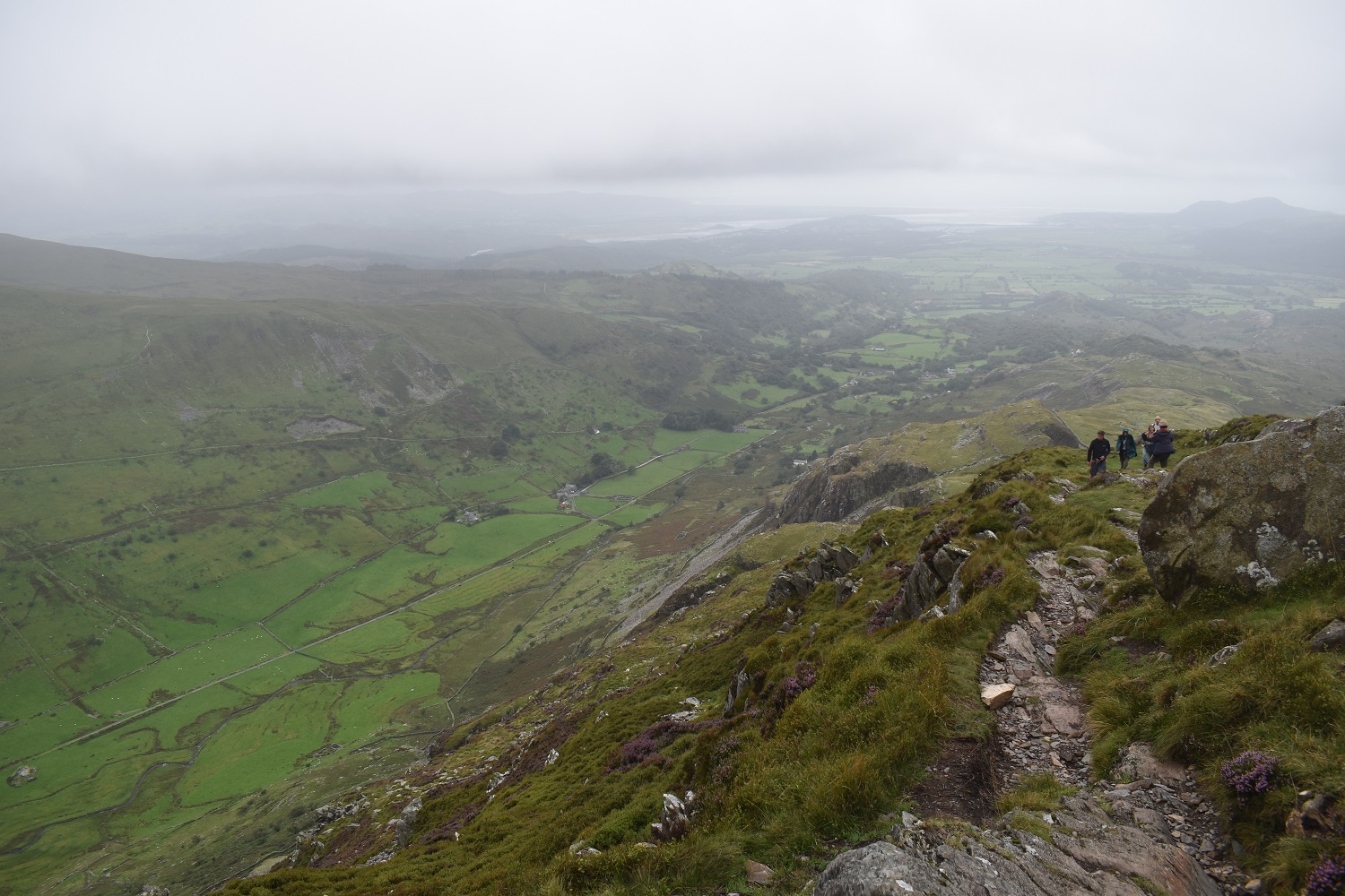
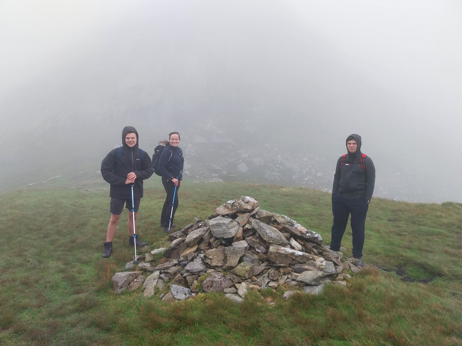
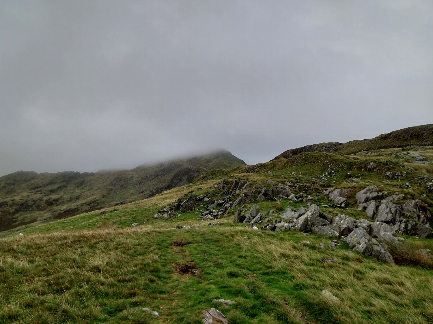
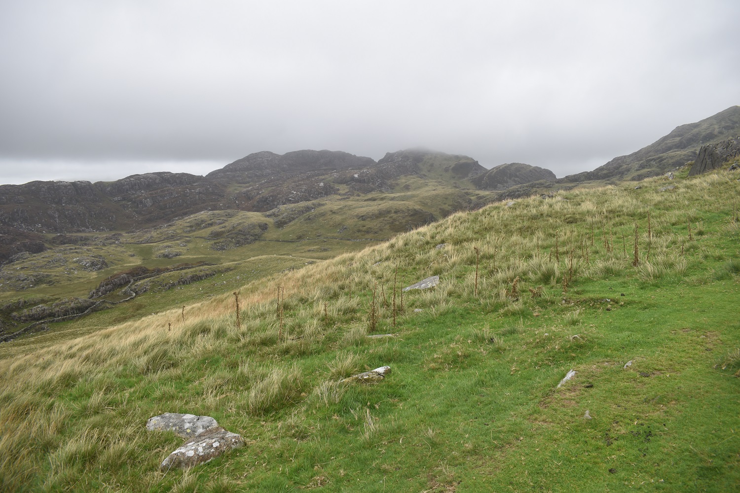
So this was to be our summer holiday, not this time to the Lakes, but Snowdonia (Eryri) alongside a couple of special events. My cousin was getting married in Llangollen, so we booked a Premier Inn in Oswestry and stayed a couple of nights there. Then we had a week in Penmachno, and looked for plenty of good walks in Snowdonia to keep us all entertained. Finally we had my mum and dad’s 50th wedding anniversary in Bolton, so a fair bit of travelling involved all in those 10 days. To make that travelling even more complicated, my eldest had his GSCE results near the end of our week in Penmachno, so that involved dropping him back to a half way point near Bristol, for his mum to take him back. It meant we only did 3 proper walks, plus a cracking day out around Bangor for our week in Eryri. It was a fantastic time away though, with lots of family time mixed in with time for the 4 of us to enjoy the Welsh landscapes, tackling some of the mountains that I’ve had my eye on for a while now. The first of these was Cnicht, the Welsh Matterhorn, with what looked to be a fairly simple walk on our first full day in the National Park. However Storm Betty had other ideas, I watched the weather intently, seeing the storm pass through overnight and the winds drop significantly through the morning and into the afternoon. Being a short walk, I figured we could start in the afternoon and be up and down before tea, easily. This was true, however Storm Betty hung around longer than expected, and infact the winds didn’t really clear for most of the week. As we climbed the winds got stronger on Cnicht, we saw others coming back down who where saying they couldn’t reach the summit and the final scramble was impossible. We made the plateau, just under the final 20 metres pull up to the top, and felt the full force of the 50mph winds still pummeling the summit. With the cloud being down it meant we couldn’t see the scramble route clearly, nor know how far we had left for certain, all we knew was the drops either side were very steep, and Cnicht being a conical shape, meant getting to the summit would have been foolish. Others were sat at the same point, all looking at a dark misty shape which was the summit. One guy had attempted to clamber up, he said he got to a point around the top and wedged himself in between two upright rocks, took a photo and slid back down. Not worth the risk. It is normally a brilliant mountain, and probably very simple to get up the final part in a breeze, for me I was happy to tick this one off and look forward to two other classic Snowdonia mountains.
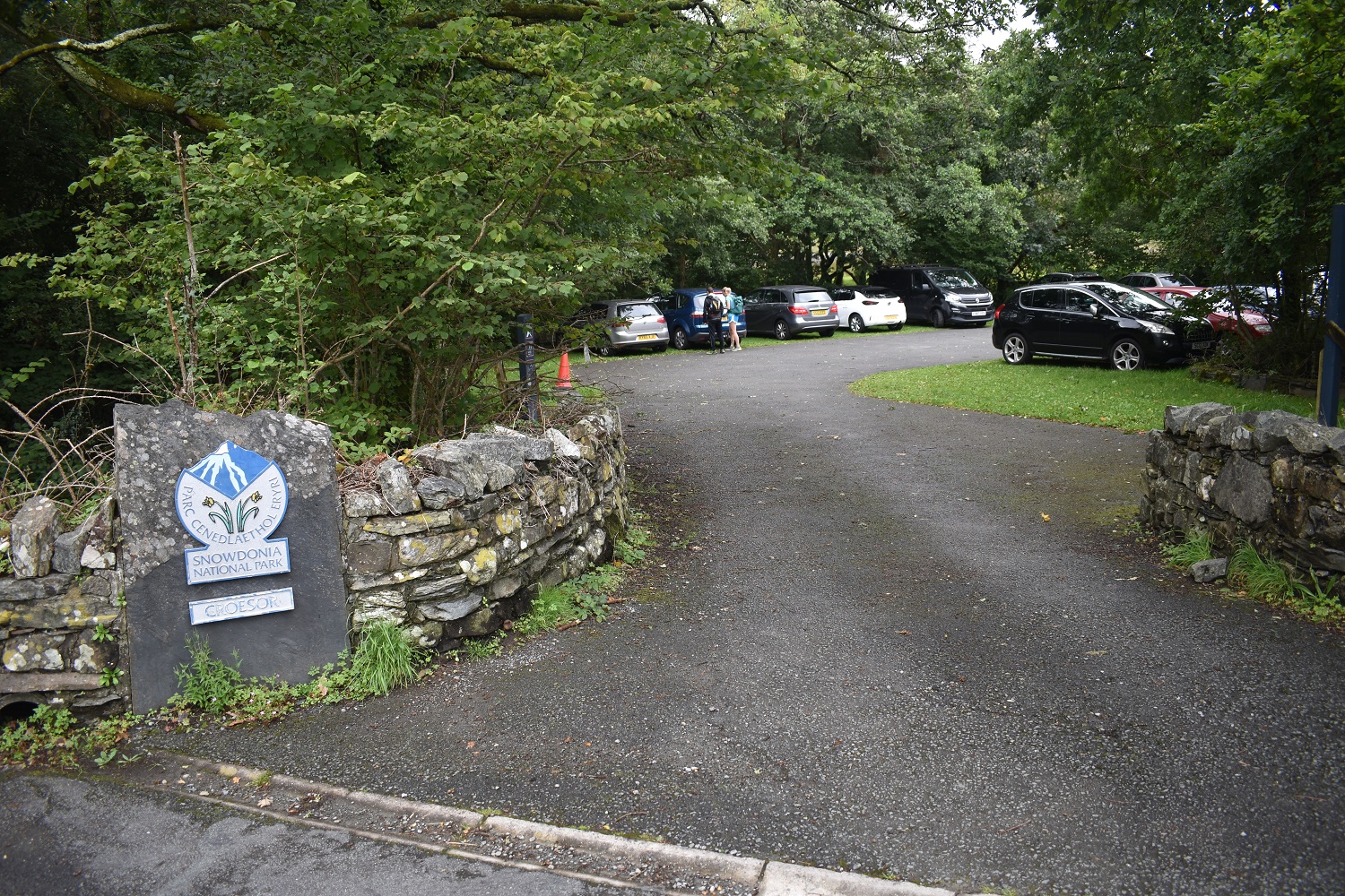
Start – Croesor
Route – Snowdonia Slate Trail – Cambrian Way – Cnicht – Cambrian Way – Snowdonia Slate Trail – Creosor
Distance – 3 1/2 miles Start time – 1pm Time taken – 2hrs 45 mins Highest Point – Cnicht 689 metres
Weather – Cloudy with the cloud down on summits, very windy.


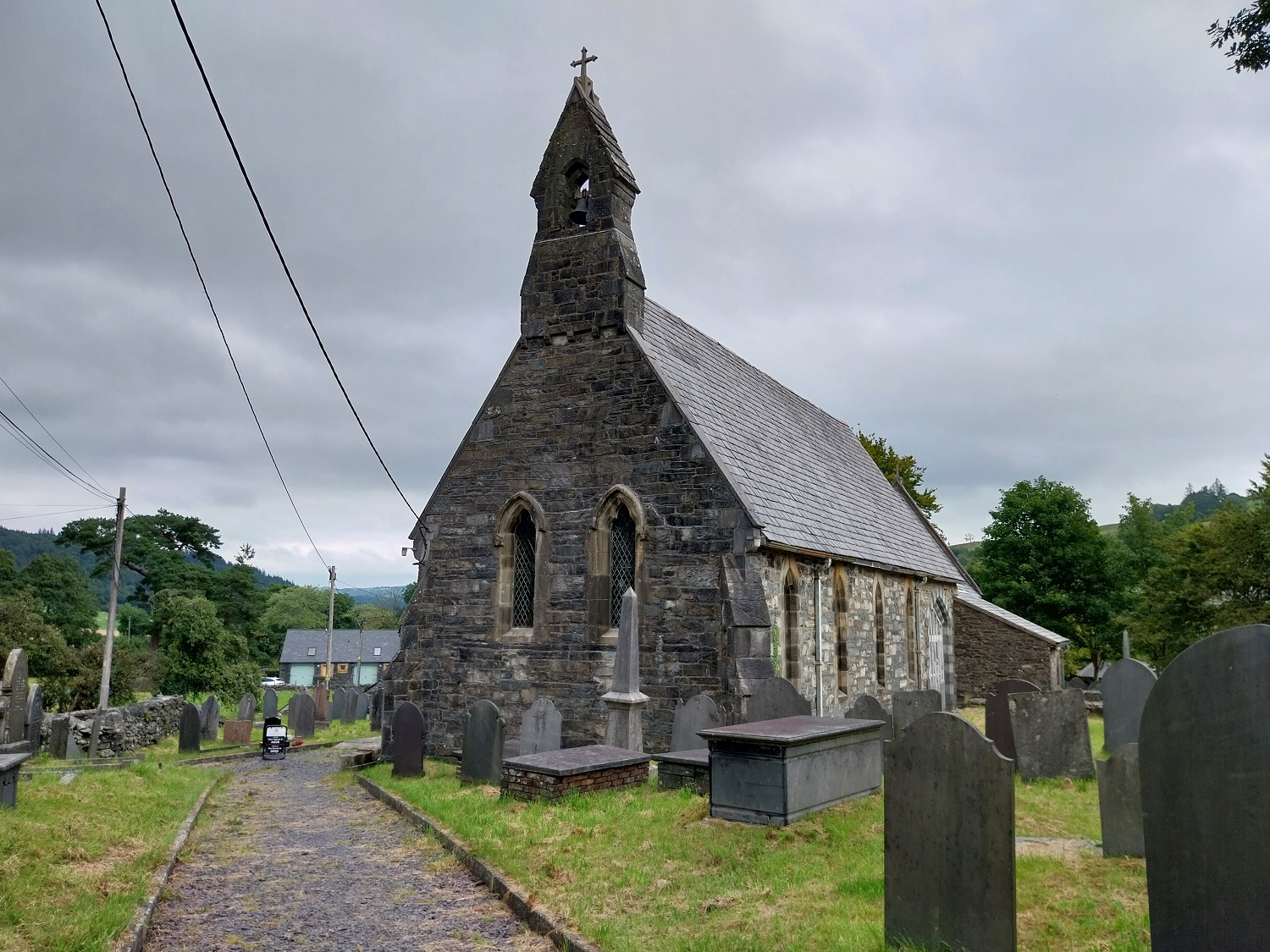

‘Here lies Carausius in this heap of stones.’ Also inscribed on this stone are the Greek letters “X” and “P” the first two letters of the word Christ (Christos), which here form a four-rayed cross known as a Chi-Rho monagram. Legend tells us that Carausius, also known as Crair or Caron, was the hero of the Britons during the 3rd century AD. He proclaimed ‘himself’ King and Emperor of the Celtic west, and stood up to the might of the Roman army who, in turn, regarded him as ‘something of an annoyance.’


You live to fight another day 😀
LikeLiked by 1 person
There was no chance of standing up anywhere near the summit so I didn’t see the point in crawling up there, with no views to see anyway
LikeLiked by 1 person
Sensible to take account of conditions. Hopefully your other walks not so affected by conditions
LikeLiked by 1 person
Apart from some low cloud near the top of Snowdon and Moel Siabod, all was well. Those walks to come
LikeLiked by 1 person
As you say, two classics those.
LikeLiked by 1 person
💯
LikeLike
Looks pretty grim 😔
LikeLiked by 1 person
Became a bit too windy as we got high for it to be enjoyable anymore
LikeLike
It will still be there when you return. Always take the sensible pragmatic decision. The summit scramble is quite exposed and a fall would be nasty. At least you got to enjoy the lower part of the ridge which pretty good
LikeLiked by 1 person
We’d enjoyed the ridge up even in the claggy conditions, shame we didn’t get the views really
LikeLiked by 1 person