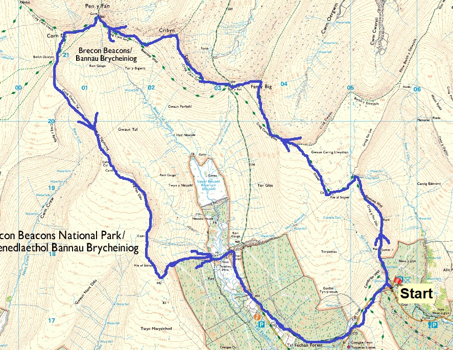
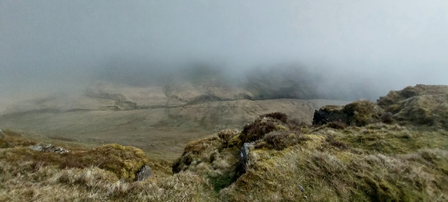
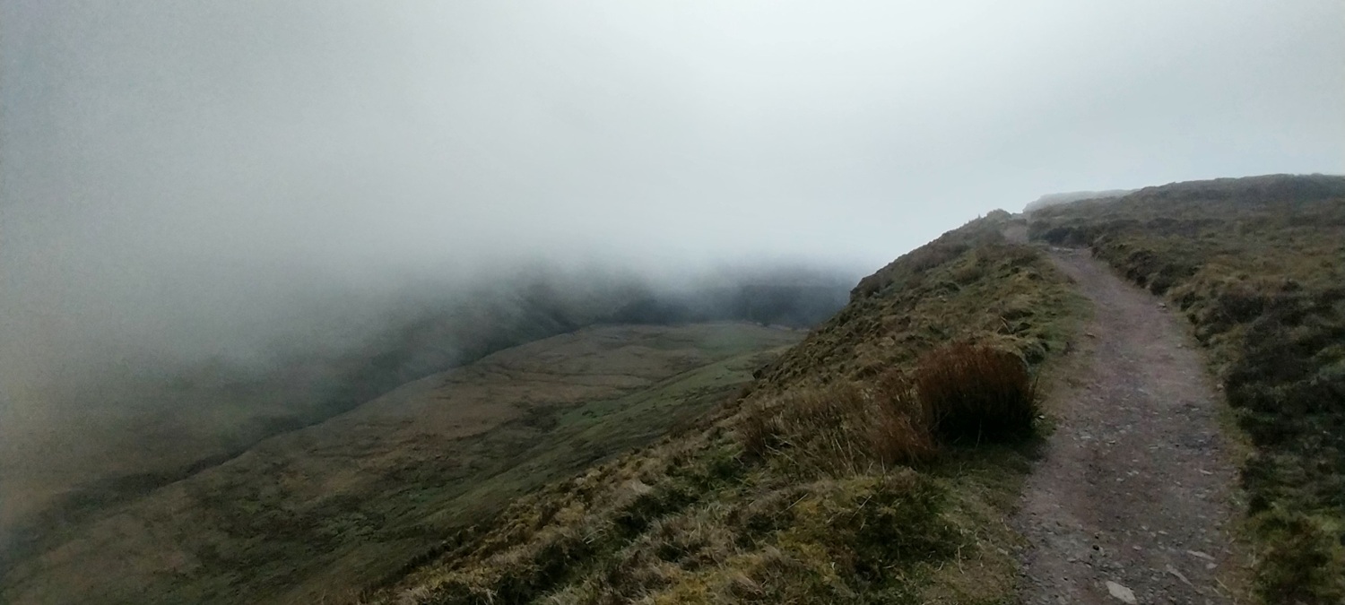
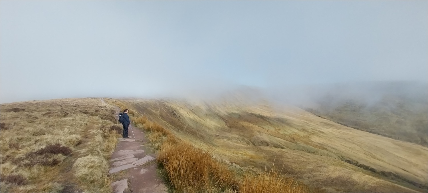
So big walk time for our little holiday in South Wales, and one of the classics in these parts, the Pen y Fan Horseshoe. The weather was a bit unconvincing in its accuracy, with it changing 2 or 3 times in 24 hours, but we went for it anyway, with hope for some cloud free summits at least some of the time. As it was, it threatened to clear completely, before dropping all together and not moving at all. So we walked for pretty much 10 miles with about 40 metres of visibility at most. Having done the highest in England, in cloud and the highest in Wales, in cloud, this now means we have ticked off the highest in South Wales, in cloud. Some sort of unfortunate hat-trick I’d say!! The edges around these parts of the country have to be seen to be believed, vertiginous is one word to describe the plunging drops on one side of the path. Unfortunately for us they were mainly masked by swirling clouds, meaning we never saw the bottom. Still we hit the tops of 4 of the bigger tops in the Brecons, so at least that is some sort of achievement and my first time on the humourously named Fan y Big! We are planning on Lord Hereford’s Knob next time to complete the set! Yep that’s a mountain in the Brecons as well.
Start – Talybont parking
Route – Waterfalls – Craig y Fan Ddu – Beacons Way – Fan y Big – Bwlch ur y Fan – Cribyn – Pen y Fan – Corn Du – Bwlch Duwynt – Craig Gwaun Taf – Graig Fan Ddu – Neuadd reservoir and buildings – Taff Trail – Talybont parking
Distance – 13 miles Start time – 9.45am Time taken – 6hrs 45mins Highest Point – Pen y Fan 885 metres
Weather – Low cloud to start with bits of sun, then low clag and cold wind
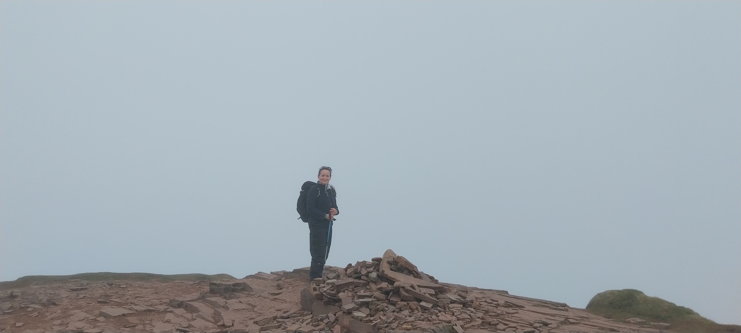
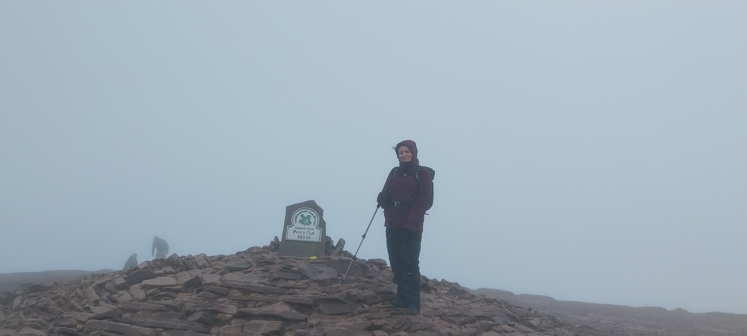
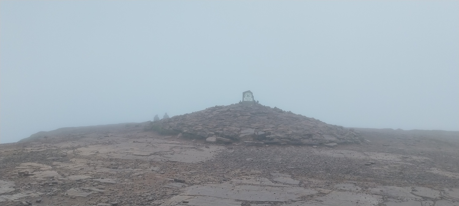
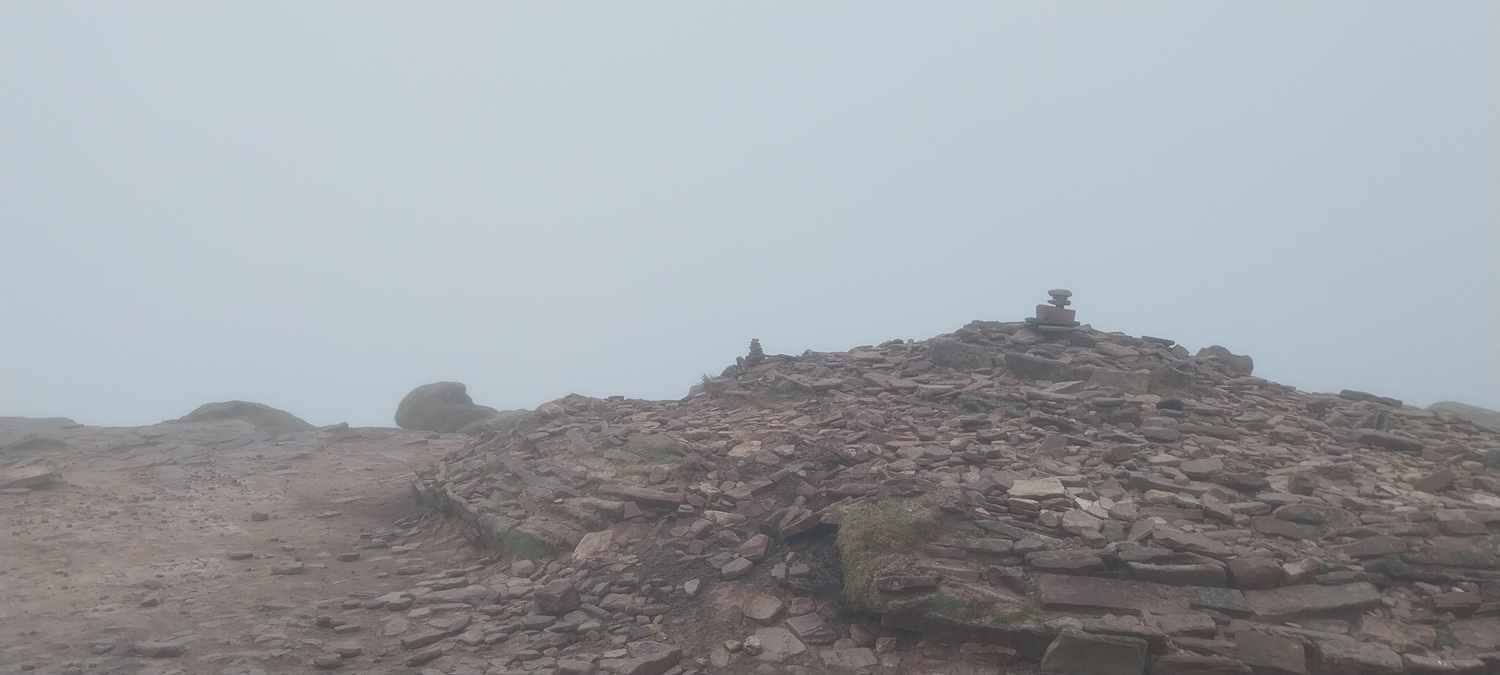
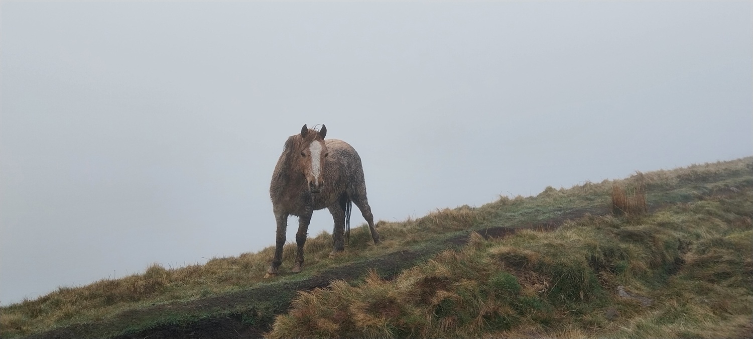
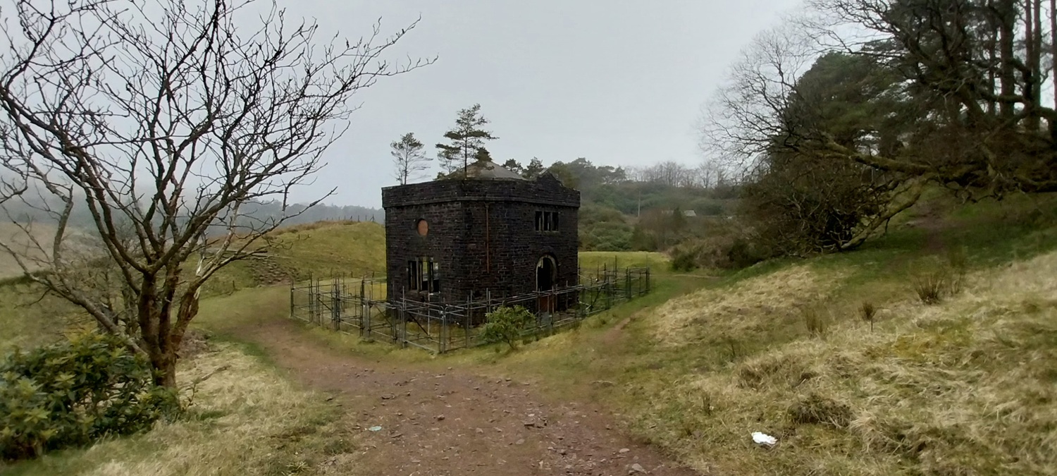
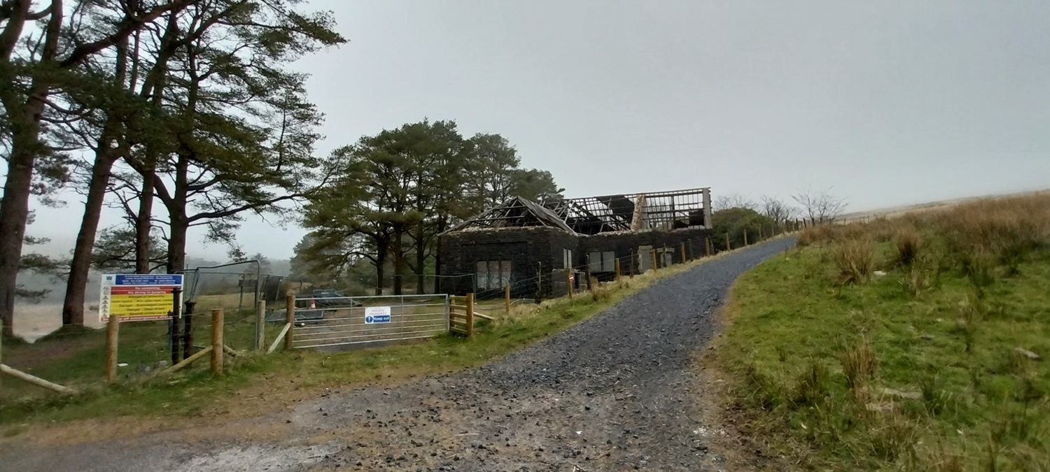
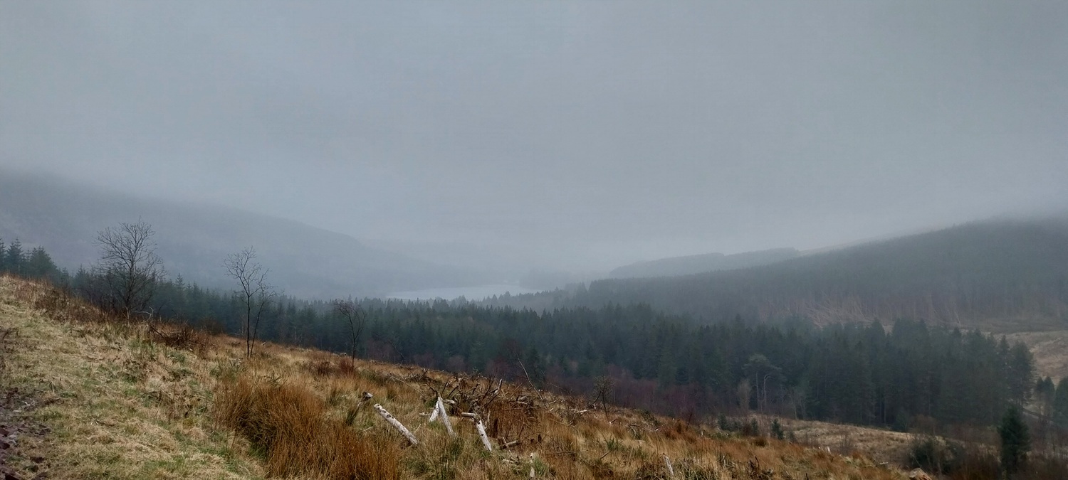
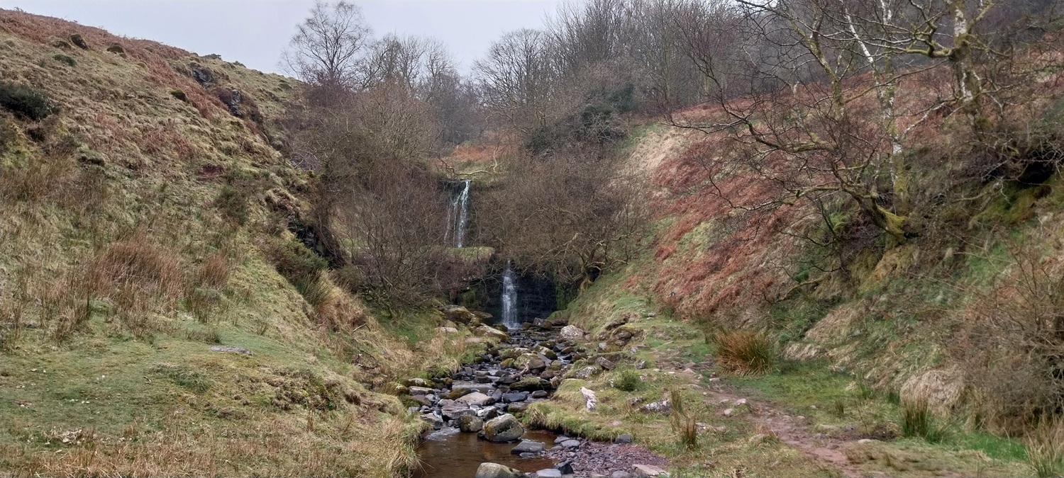
Starting point, to be fair in the Fechan Forest there are plenty of car parking spots and midweek these are normally ok for parking, this was a Thursday and 4 cars accompanied us at 9.30am for our arrival.Plenty of waterfalls are marked on the path up to Craig y Fan Ddu and this was the 3rd one in a short section of path. There’s also a waterfall walk from the same car park of around 2 miles and looking at the map you’ll see double figures in waterfalls I reckon.Cloud swirling around as we climb to Craig y Fan DduOn Craig y Fan Ddu and the cloud parts a little to look down into the valley Cerrig EdmwntAn example of some of the edges and paths, further on the walk the drops are much further as the height is gainedThe cloud start to lift as Linda looks across Cerrig EdmwntBlue sky, maybe, just maybe we may get some views for a bit, here we turn left and join the Beacons WayThis cairn marks the point you right turn back towards the edges and Fan y BigThese parts were almost like a pavement across here, heathery bogs all around, although with the lack of rain recently and good weather it was all pretty dry. At the end of this section we stopped for coffee.No views at all around the edge walk to Fan y Big, this is it but you can be certain there is a whole lot of nothing right of me here as it drops steeply 250 metres to the bottom of the valleyMe atop Fan y Big, or is that mounting Fan y Big!!As we dropped to Bwlch ar y Fan we could briefly see the forest around the Neuadd reservoirs, we are still on the Beacon Way here and about to steeply climb 200 metres to Cribyn.Linda on Cribyn summit, no views still.We quickly dropped off Cribyn and started off up to Pen y Fan, an ascent of around 225 metres. We made it about half way before stopping for lunch and finding this discarded disposable BBQ box, it was taken back to the hotel to be recycled that evening. Shame the owner didn’t bother reading the instructions on the backLinda on Pen y Fan. Considering we’d been in t shirts the day before it felt like we’d time travelled back 3 months to mid December!The two people sat over there were the only people we saw on the summit, almost unheard of up here on what is normally a heaving summit area.More edges as we head up the short climb to Corn Du, our last summit of the day.Corn Du summit, also pretty emptyWhat follows Corn Du is a superb walk along the Craig Gwaun Taf and Graig Fan Ddu edges, which look down on Gwaun Taf one way and Cwm Crew the other way. It is stunning in clear weather. We also saw a few wild horses up here as well.Looks like they are trying to restore some of the peat areas as well along hereThe two edges are around 2 1/2 miles long so its a fair distance and time later that you finally drop down to the Neuadd reservoir area. This path has also been flagged, including the steep climb up to the path along the edges, which is superb as this can be a boggy trudge across here.The old Neuadd reservoirs have been broken now and no longer store water. Plenty of old water buildings sit here thoughWhat’s left of the lower reservoirThe Valve houseAnd the old Control House, there is also an impressive dam wall and tower for the Upper reservoir, head to the left of the control house and out along a path/road to reach itLooking back along the Control House road. Pen Y Fan would normally be in view at the backWe joined the Taf Trail which would take us back to our carPentwyn reservoir now in view, just, as the cloud lowers and darkens furtherGate to nowhereCar park ahead, the path we took at the start follows those trees up to the leftAnd back at the waterfalls at the start of the walk. By this point we were tired and ready for some food. So fish and chips were bought to lift the mood somewhat!
Not a part of the country I’ve ever been to although I’ve read a lot about it. Shame about the cloud. Respect for picking up that litter Steve, some people are just plain ignorant. I came across a sleeping bag stuff sack once filled with the rubbish of an overnight camp, food packaging, tins and wet wipes with excrement on. I thought about leaving it but my conscious got the better of me and I ended up abandoning my walk put a glove on and carried it off the hill.
That sort of littering is a blight on the hills, especially the very popular ones. Always try to pick a little bit of little up if i see it to do my part
Very unlucky as it looked like it might clear, always feels like the weather is flicking you the “v’s” when it almost clears and then the gloom descends all day. It’s a superb walk that one and a very long one, hopefully you’ll get another crack at it on a decent day


The swirling mists are quite atmospheric, Steve, but it’s a shame not to have the views xx
LikeLiked by 1 person
I recognise that view from Pen y Fan – did it in cloud and strong wind and bailed out of going to Cribyn (did it from the Storey Arms).
I’ve now done Snowdon, Ben Nevis, Scafell Pike and Pen y Fan and not got a view from any of them!!
LikeLiked by 1 person
Have to be honest when I finally get to Ben Nevis I’m not convinced I’ll get a view from there either
LikeLike
Not a part of the country I’ve ever been to although I’ve read a lot about it. Shame about the cloud. Respect for picking up that litter Steve, some people are just plain ignorant. I came across a sleeping bag stuff sack once filled with the rubbish of an overnight camp, food packaging, tins and wet wipes with excrement on. I thought about leaving it but my conscious got the better of me and I ended up abandoning my walk put a glove on and carried it off the hill.
LikeLiked by 1 person
That sort of littering is a blight on the hills, especially the very popular ones. Always try to pick a little bit of little up if i see it to do my part
LikeLiked by 1 person
It is a shame that the weather wasn’t great as it looks like it was a great walk.
LikeLiked by 1 person
Very unlucky as it looked like it might clear, always feels like the weather is flicking you the “v’s” when it almost clears and then the gloom descends all day. It’s a superb walk that one and a very long one, hopefully you’ll get another crack at it on a decent day
LikeLiked by 1 person
I loved that long decent route last time (did it in ascent) so would definitely go back for that part
LikeLiked by 1 person