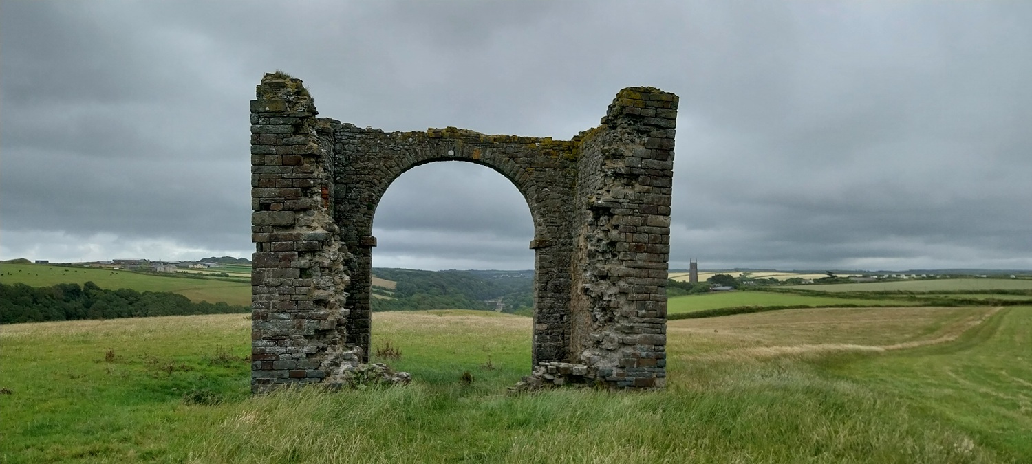
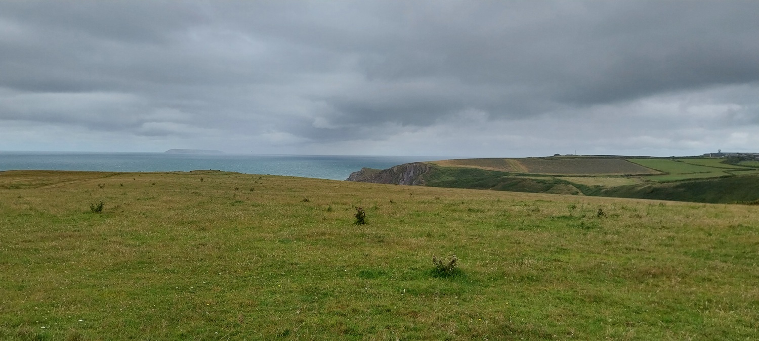
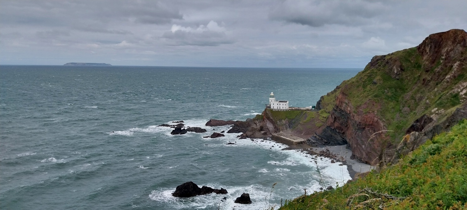
In writing up this walk I’ve been considering if I’ve actually got the name of this site correct, not too many tors for the last 5 walks, including this one. Infact it was the 8th June since I last stepped on Dartmoor and I’ve still got 4 more walks to write about, all of them coastal. Might need to get to Dartmoor this weekend before I forget what it looks like! So this walk was another from our, weekend away coastal breaks, which have included Barnstaple and Weymouth so far. This one was to Bideford, giving good access to the bit of coast from Hartland Quay to Westward Ho! that I had still to do. So we set off early Sunday morning on route to the lovely village of Hartland, on arrival around 10.15am we found the place busier than expected. On turning the corner into the square near the car park, we saw the signs for the farmers market, 10am until 1pm. Oh no, a quick left right had us on the back lane to the school, rammed with parked cars, we managed to get the last space by the school, luckily. We booted up and set off, first along the road to Stoke and then Hartland Quay, joining the coastal path at a ruined tower marked on the map. What followed was a series of drops and climbs, so synonymous with this area. I’ve read there are 10 between Bude and Hartland Point, we had 3 today plus half a one at Smoothlands. We made good progress and before long I was looking down at Hartland Point and its lighthouse, I’ve been here before 35 or more years ago, on a family holiday, and I remember walking down to the lighthouse along a path clinging to the cliffs. That’s no longer a thing, infact even the tarmac path is closed to the public which isa shame. So we carried on towards East Titchberry, where we turned inland, for a couple of miles of road walking to Hartland. A great section of the path, with great views to Lundy to enjoy for its entirety and by my reckoning, Hartland Point is the closest point on the mainland to the island.
Start – Hartland
Route – Hartland Abbey – Stoke – South West Coastal Path – Warren Cliff – Blackpool Mill – Upright Cliff – Hartland Point – West Titchberry Cliff – East Titchberry Farm – Shamley Bridge – Pattard Cross – Pattard – Hartland
Distance – 8.5 miles Start time – 10.45am Time taken – 5hrs Highest Point – Pattard Cross 131 metres
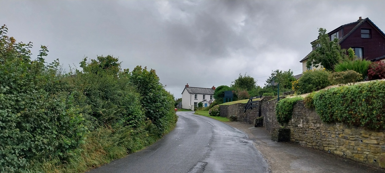
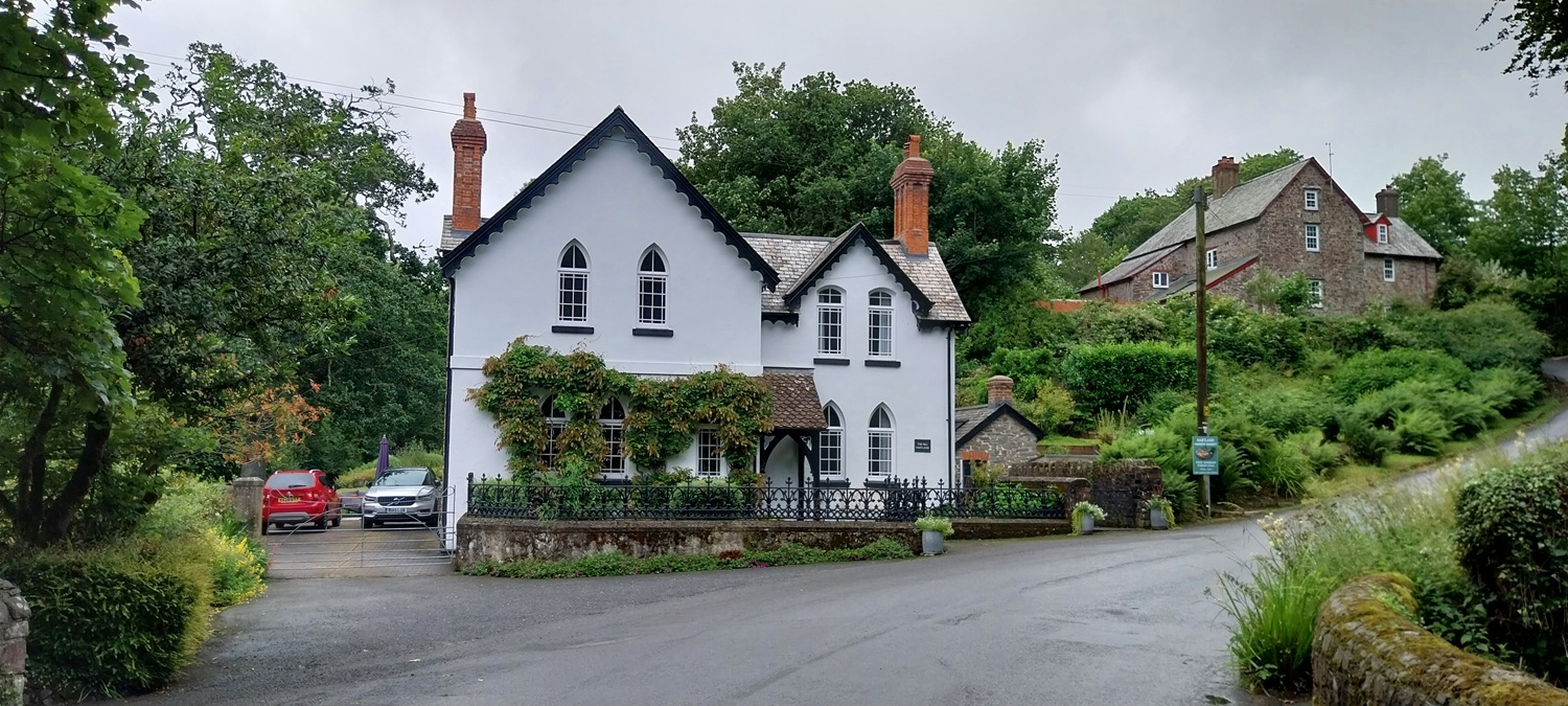
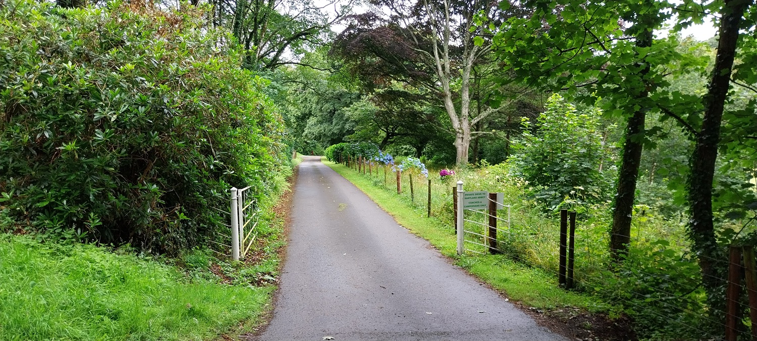
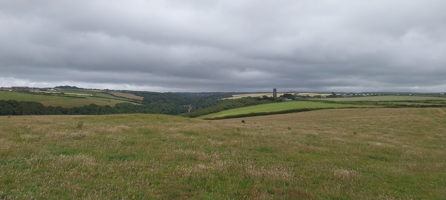
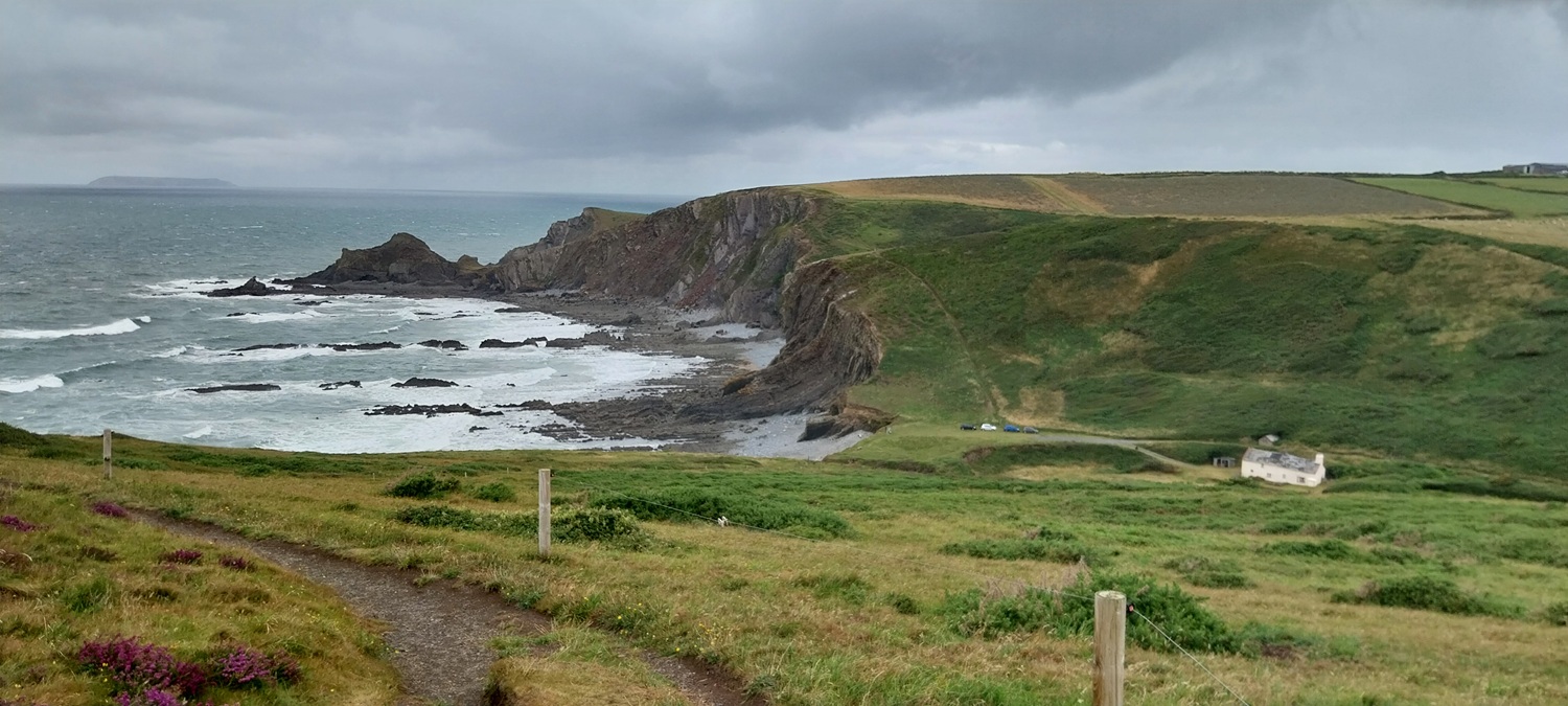
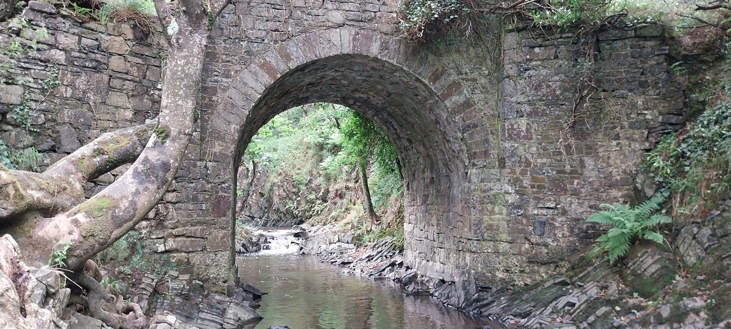
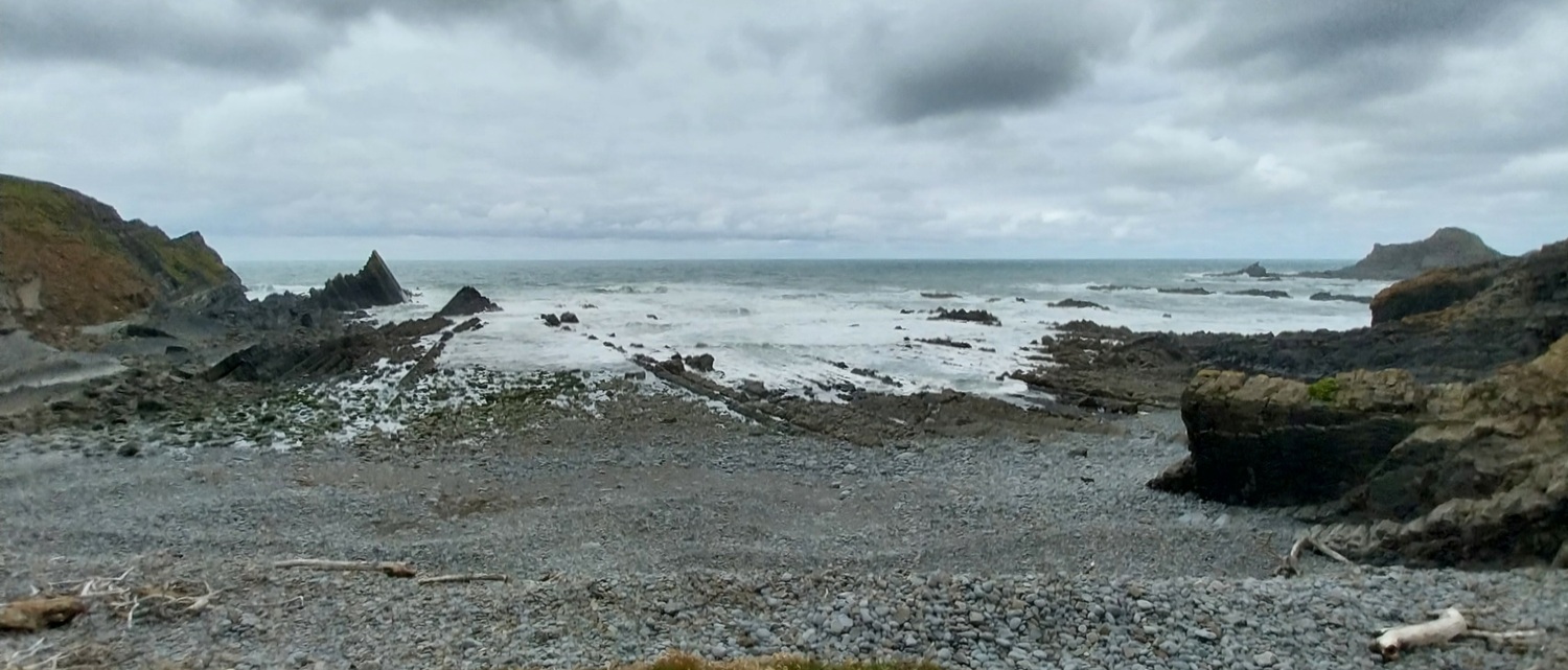
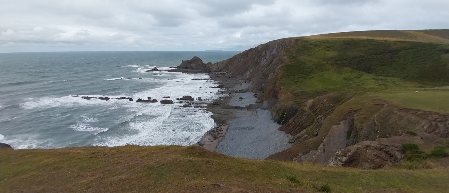
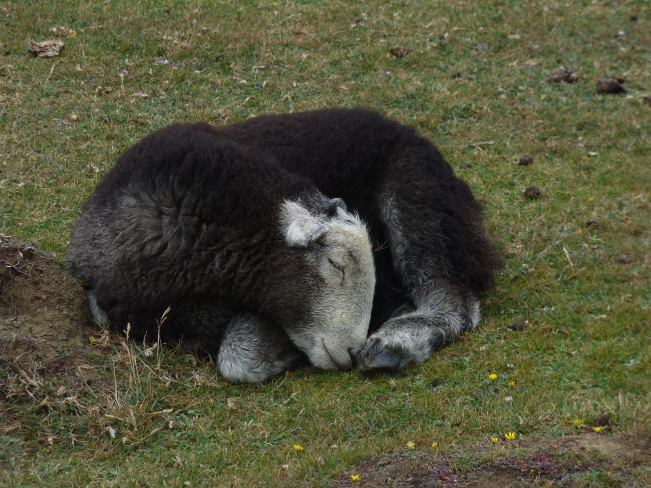
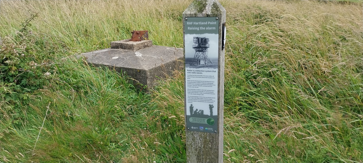
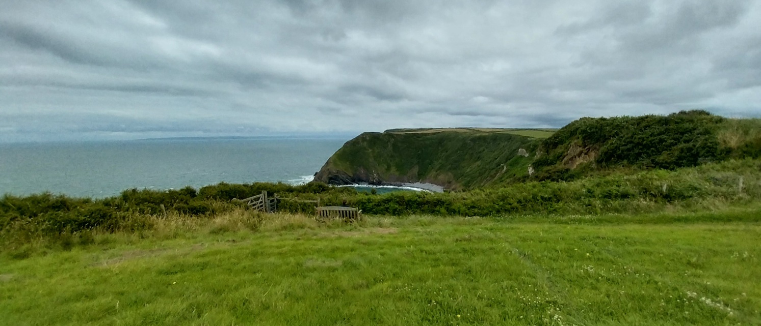
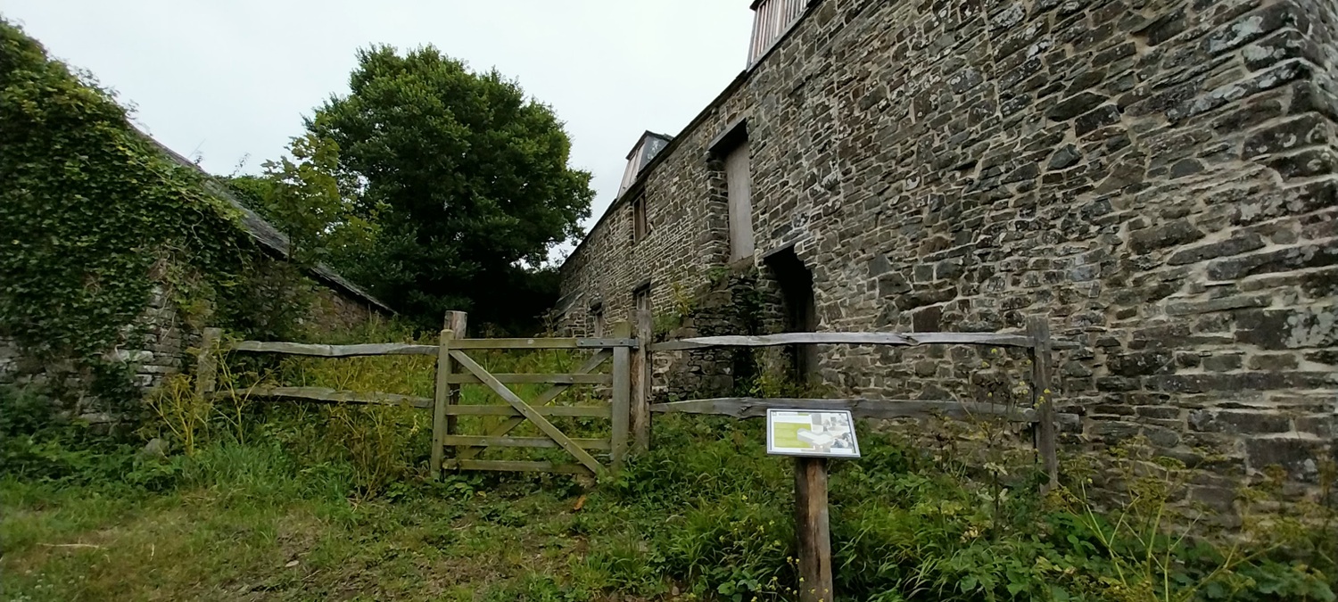
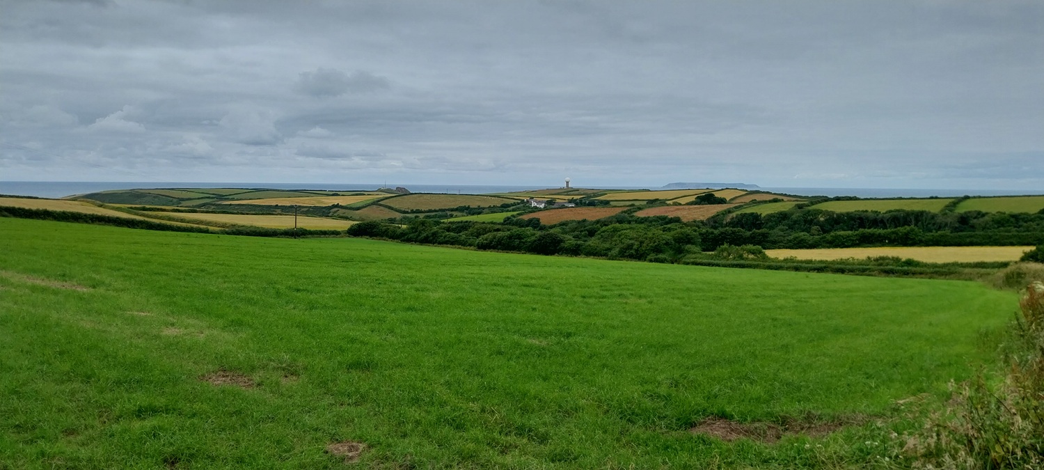
Before the walk another shot of deer in the car park at work, antlers starting to grow on the malesLeaving Hartland, there has been rain regularly through late June and early July, temperatures were pretty good still and no doubt the farmers and gardeners will have appreciated the changeable conditionsLinda heading for Stoke along the lanesWe both quite liked the look of this house, the blue sign reads Farmer’s market, every first Sunday of the monthThe coach entrance to Hartland Abbey, my mum and dad have been here recently and can report that its lovely. We had coastal walking to do so not for us todayStoke, and another one of those blue signsSt Nectan’s in Stoke, a huge spire on this church and we have been in here before when we walked up to Hartland QuayWe will be heading over to that tower first and then dropping into the first of our dips at Blackpool MillLooking back to Stoke and the church, Hartland Abbey is in the trees to the leftAt the tower now and on the coastal pathA gloomy view to Lundy, it would improve as we walked to Hartland PointBlackpool Mill is down thereAs we walked through the dip to Blackpool Mill we crossed this substantial bridge, no road just the footpath crossing it, below were deep pools and a sharp ravine, would have been nice for a dip here on a hot dayThe sea is that way along the ravineAnd the beach at Blackpool MillBlegberry Beach is next, another drop and climb to comeSouth along the coast towards Bude, lovely rocky coastlineAs we neared Hartland Point we saw small herds of Herdwick sheep, normally found in the Lakes. We liked this one who was catching 40 winksThe beach just after SmoothlandsAnd a small waterfall which falls down on to the beach. Another feature of this section from Bude is the number of small waterfalls dropping off cliffs down to the beach/sea belowOn Upright cliff now after another steep climbLundy Island out to sea and Hartland Point and its lighthouse belowZooming in on Lundy, the lighthouse can be seen to the left, with the village and quayside in the middleThe mushroom looking thing over there is a radar station, different versions of the station have been on that cliff since WW2Despite there being a car park here (seen in the photo above) the gates are closed to the lighthouse, plenty of signs to inform youWe are now over by the radar station, the plinth behind is part of the old radar station from the 1940sThat’s Eldern Point over there, we don’t quite walk that far before heading inland. The headland away to the left is Morte Point near to IlfracombeLinda is sat down there on the bench having a coffee whilst I headed up for a better view to Eldern PointEast Titchberry has some National Trust bits, including this malthouse and the car park nearby, there’s also a tea roomWe were heading for Hartland however, rather than a tea room. Passing through lanes we get these views back across to where we walked at Hartland Point, Lundy in the distanceHartland appears along the lane. We didn’t head into the pub on arrival instead drove the short distance along the A39 to Bideford to our hotel and a few drinks there. We needed to get some rest as well, as we were up early and back to East Titchberry to carry on the route.
I really should explore Hartland, I’m only ever passing through on my way to the island! The sticky up lighthouse to the left is Old Light, where you can stay over, the white one in the middle which looks low down is South Light which is still working with rat island just to the right and the village is as you say is between the two as you look at the image. I can just make out the pub!
I’ve seen on the map that there is another lighthouse at the northern end, I guess that’s a bit of a walk to get up there. Hartland is lovely, plenty in the village and plenty going on, on the first Sunday of every month!!
The walk to North Light is perhaps my favourite walk on the planet and it is a very fine picnic spot. I have written about it in the past but I think I should perhaps spend a few days here next time. Bideford I know very well.
Visited Hartland and the coastal sights there in my younger days but never walked any of the coast. Classic of that corner with all the shale cliffs and those little streams and waterfalls onto the beach
The waterfalls are definitely the best parts around these parts, not as spectacular part as say Dorset’s cliffs, the Lizard, some of Lands End and the parts around Boscastle. But still a great walk and Hartland is a great base to explore around here


I really should explore Hartland, I’m only ever passing through on my way to the island! The sticky up lighthouse to the left is Old Light, where you can stay over, the white one in the middle which looks low down is South Light which is still working with rat island just to the right and the village is as you say is between the two as you look at the image. I can just make out the pub!
LikeLiked by 1 person
I’ve seen on the map that there is another lighthouse at the northern end, I guess that’s a bit of a walk to get up there. Hartland is lovely, plenty in the village and plenty going on, on the first Sunday of every month!!
LikeLike
The walk to North Light is perhaps my favourite walk on the planet and it is a very fine picnic spot. I have written about it in the past but I think I should perhaps spend a few days here next time. Bideford I know very well.
LikeLiked by 1 person
Visited Hartland and the coastal sights there in my younger days but never walked any of the coast. Classic of that corner with all the shale cliffs and those little streams and waterfalls onto the beach
LikeLiked by 1 person
The waterfalls are definitely the best parts around these parts, not as spectacular part as say Dorset’s cliffs, the Lizard, some of Lands End and the parts around Boscastle. But still a great walk and Hartland is a great base to explore around here
LikeLiked by 1 person
Looks like a really atmospheric walk with all the moody clouds along the coast.
LikeLike
A great coastal walk.
LikeLiked by 1 person