High Rigg

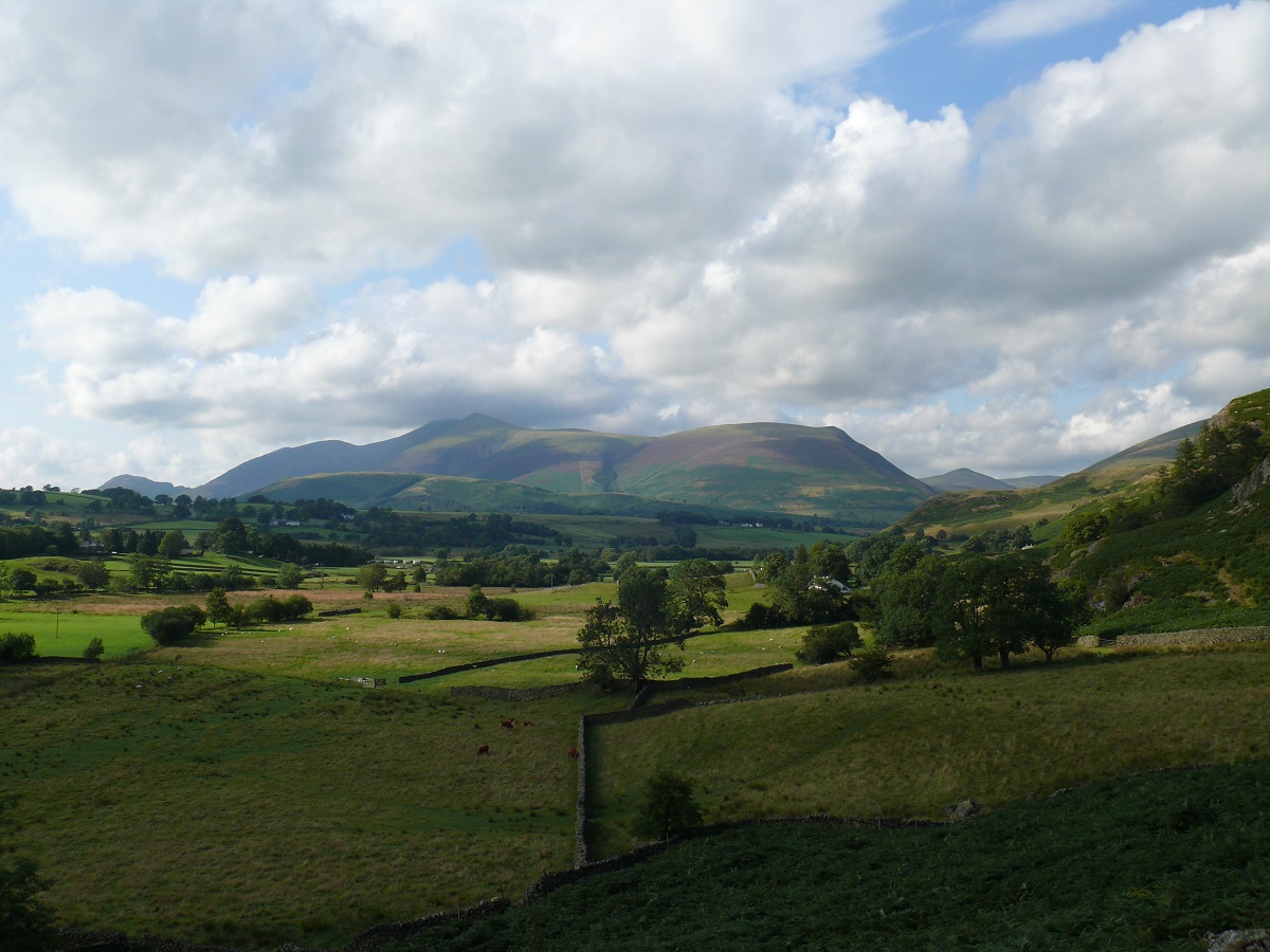
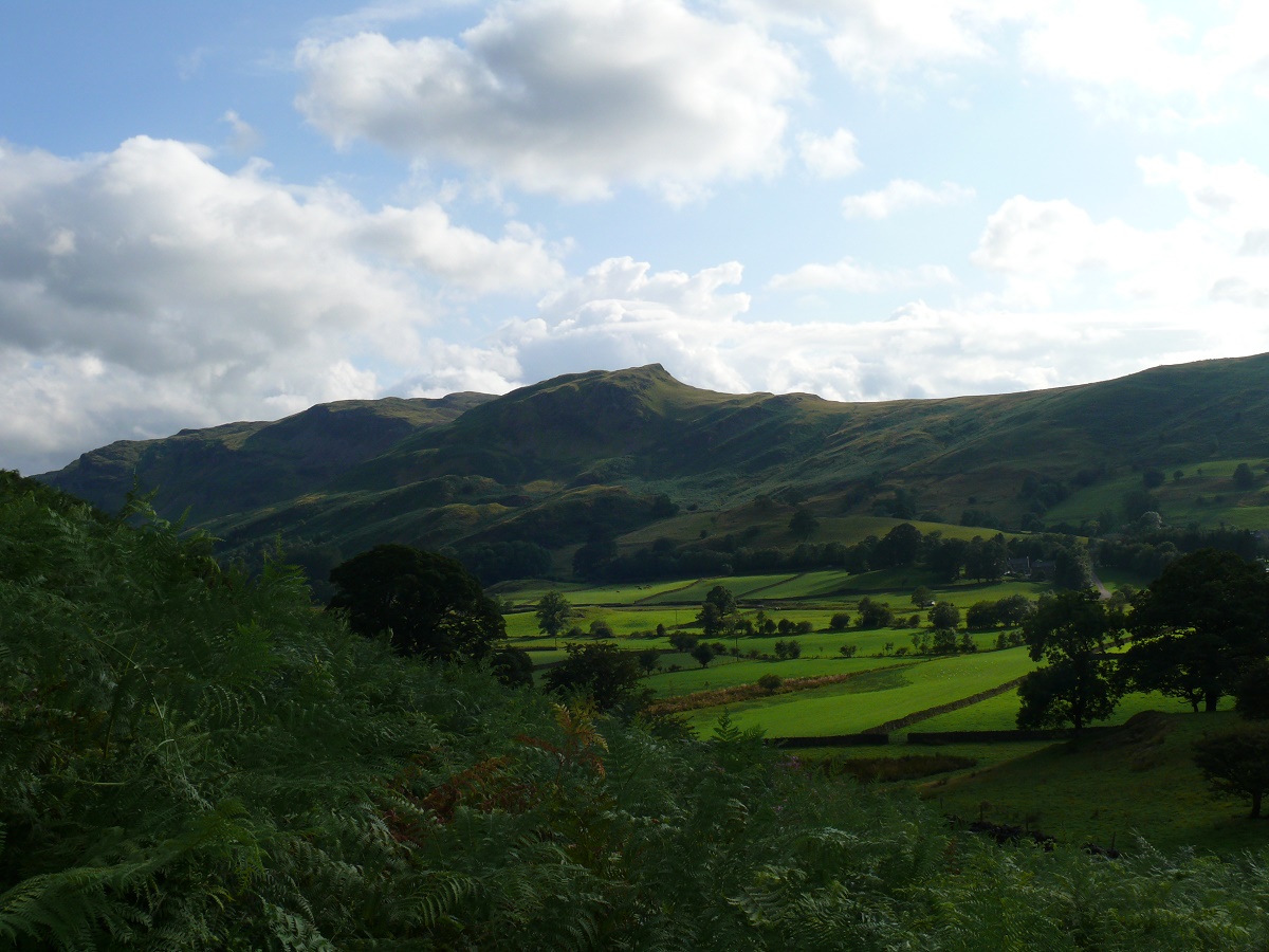
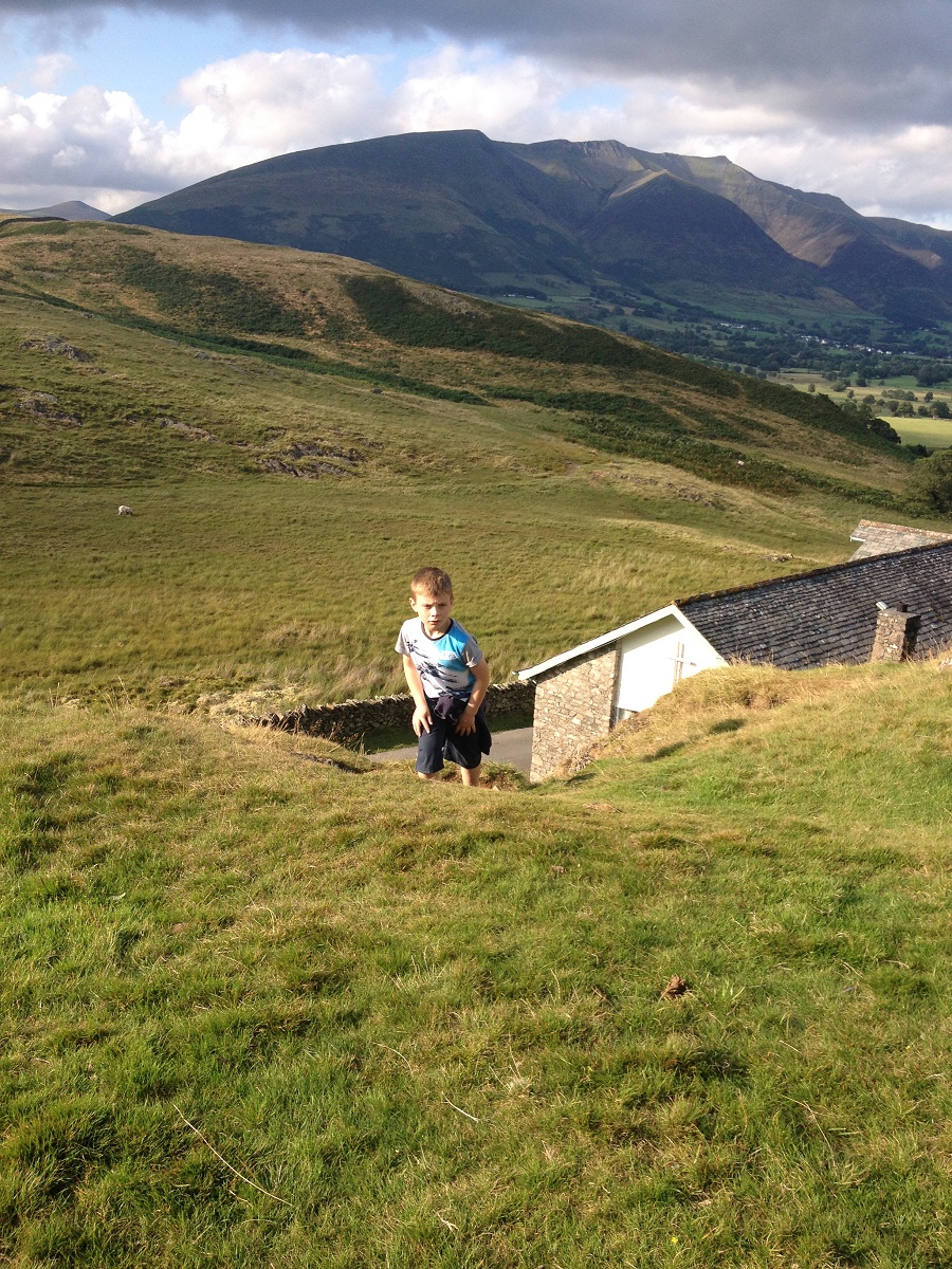
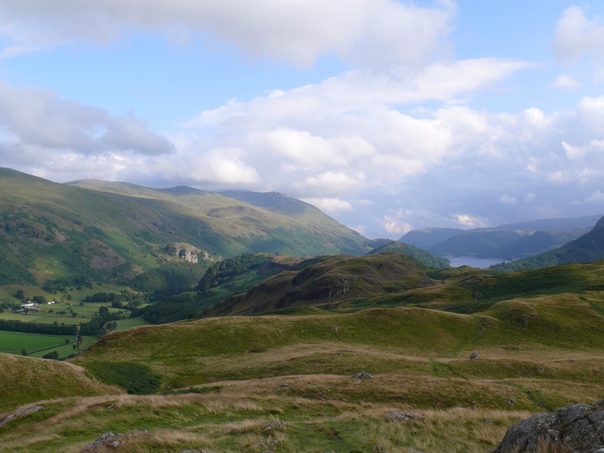
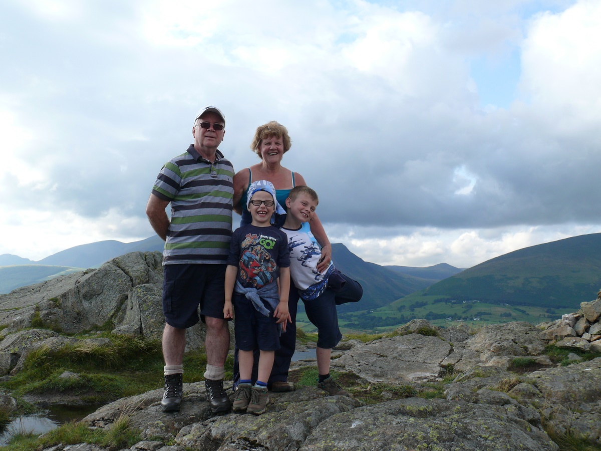
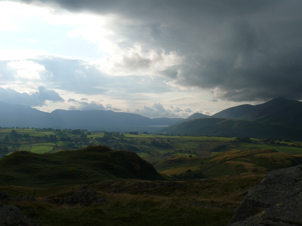
An evening walk up a smaller fell but giving it a bit of respect. Rather than just and up and back from the church at the bottom of the hill we decided to park in a layby beside the A591 and walk along the base before ascending from the church as normal. Weather was warm and sunny but clouded over towards the end.

Start – Layby A591
Route – Shaw Bank – St John’s in the Vale church – High Rigg – St John’s in the Vale church – Shaw Bank – layby A591
Distance – 3 miles    Start time – 5pm     Time taken – 2 1/2hrs    Highest Point – High Rigg 357m
Weather – Warm and sunny, clouded over at the end

© Crown copyright 2014 Ordnance Survey FL 2014 SF
Skiddaw with its head in the clouds from the start of the walk
As we follow the wall round the views to Skiddaw are ever-present
Dodd Crag as we turn the corner
St John's in the Vale church
St John’s in the Vale church
Climbing away from the church with Blencathra behind
The church below and Skiddaw behind
Helvellyn high on the left above Thirlmere
Helvellyn high on the left above Thirlmere as I look along High Rigg summit area
Me and my youngest on High Rigg
Nanny, Grandad and the two boys
Drama in the skies over the Vale of Keswick
The path back down to the church
Walking with nanny back to the car