Cadover Bridge, Shaugh Bridge and Wigford Down

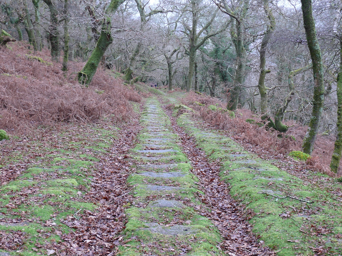
A walk out of necessity to get out of the house, there wasn’t a lot of colour out there today however the walk from Cadover to Shaugh Bridge and back is one of my favourites. Ironically, looking back, the same walk was done in glorious sunshine at the same time last year

Start – Cadover Bridge
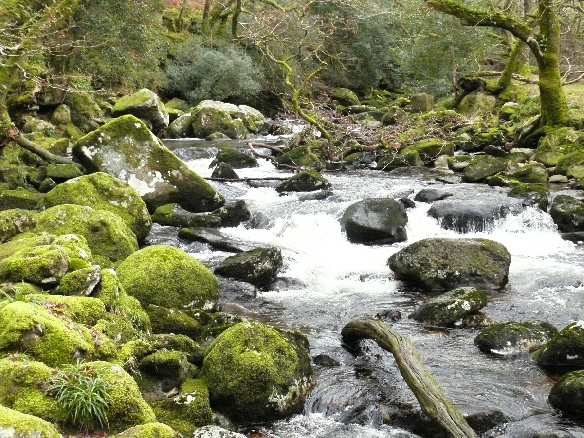
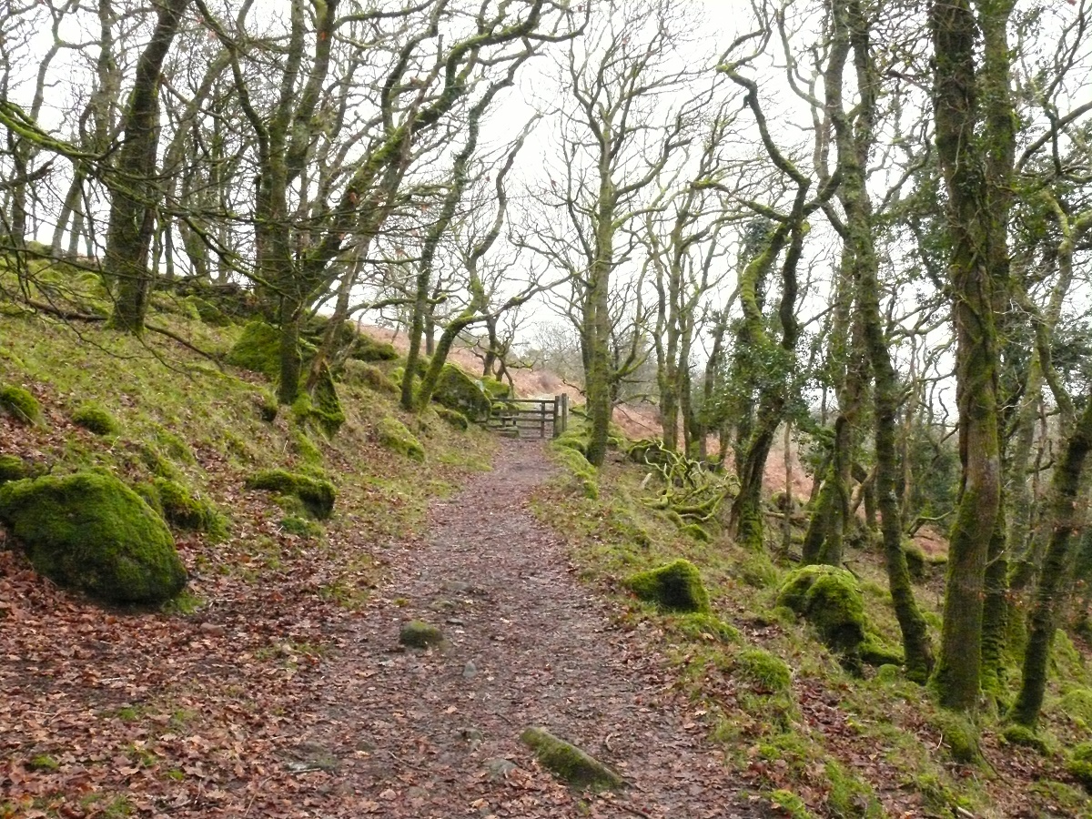
Route – Cadover Bridge – North Woods – Shaugh BridgeTop of the DewerstoneWigford Down – Cadover Bridge
Distance – 3 3/4 miles     Start time – 12.30pm     Time taken – 2 1/2 hrs    Highest Point – Just above the Dewerstone 220m
Weather – Grey, very grey!

© Crown copyright 2014 Ordnance Survey FL 2014 SF
The River Plym from the start at Cadover
Low cloud almost down to Great Trowlesworthy Tor, still plenty of cars in the car park at Cadover despite the weather
Looking back from Devils rocks, the Plym valley on the right
Looking back from Devils Rocks, the Plym valley on the right, the top of the Dewerstone is to my right here
The old tram tracks that would have been used to move quarried granite down to Shaugh Bridge
The River Plym at Shaugh Bridge
The Dewerstone
We’ve crossed to the other side of the River Plym and climbed up to the path into North Wood, here we look across to the Dewerstone
And again from further along the path
Looking back as we enter North Wood heading back to Cadover
Looking back as we enter North Wood heading back to Cadover and the car