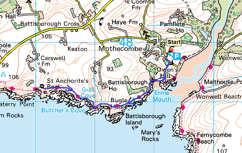
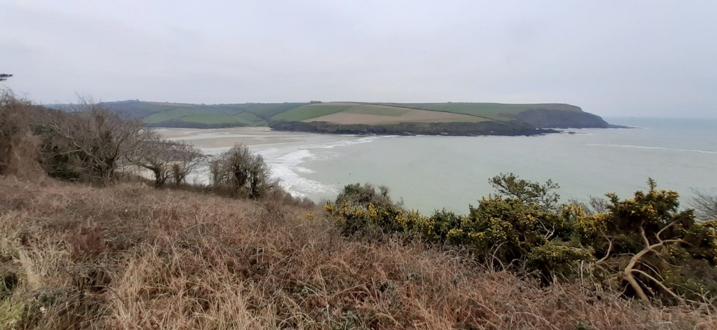
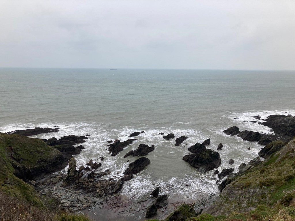
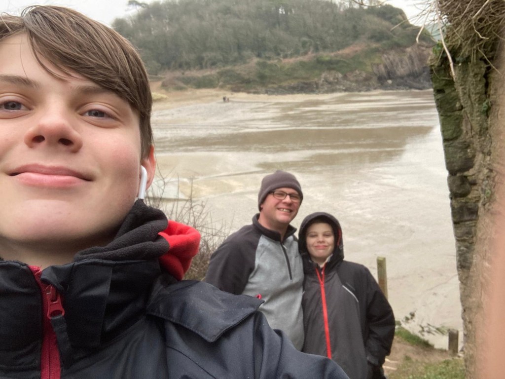
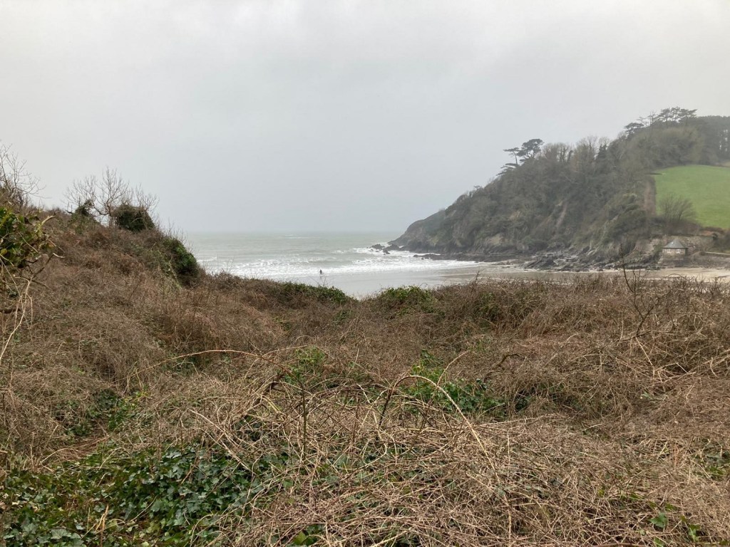
Whilst the rest of the country has been covered with a blanket of the white stuff, us down here in Devon have endured (rather than enjoyed) day after day of strong winds from the east and plenty of rain. This was another of those days, but we managed to pick a gap in the weather were it was just windy, cold and low cloud. Even during this break we still had a bit of mizzle as we walked back. This was a short section of the coastal path which needed filling in. We had walked to St Anchorite’s Rock last January, and this was the link back to Mothecombe beach, as I’d completed the section east of this with my brilliant Bigbury walk in May last year. This means I’ve completed the section from Slapton Sands around to Plymouth, which I’m pleased with, and hopefully this summer I can target areas further afield such as North Cornwall and Devon. This walk was a short drive away and Mothecombe is a very busy spot. Even on this inhospitable day there were 20 or so cars in the car park, which is free during the winter but a charge in the spring and summer. However we only saw two other people on our walk to the west along the coastal path, the weather for the rest of the weekend wasn’t great so I was pleased to be out with the boys enjoying the rough seas crashing against the rocks, in all types of weather the coastal path has it.
Start – Mothecombe car park
Route – Mothecombe Beach – South West Coastal Path – Bugle Hole – Gull Cove – St Anchorite’s Rock – and back
Distance – 3.8 miles Start time – 2pm Time taken – 1hrs 45mins Highest Point – St Anchorites Rock 70 metres
Weather – Low cloud, mizzle, cold strong wind


Beans on Weetabix!! That’s truly nasty 🤮
LikeLiked by 1 person
Absolutely, just a mess of a breakfast
LikeLiked by 1 person