Every now and again the pull of a new coast walk means I need to scour maps looking for somewhere along the South West Coastal Path to walk. Petrol prices currently are meaning that if I’m heading out I’ll be going along quicker roads to minimise the fuel used, and not hitting too many lanes and little roads. If I head east I’m nearly at Chesil Beach now, South Cornwall I have a small stretch around Whitsand (saving that for winter) or I’m almost at Falmouth. And the north coasts of Devon and Cornwall mean a more of those lanes. The South coast is better for me, with the A38 and A35 doing a fine job of getting me quickly and efficiently to places. So where to go, well the east looked better, both in the walk and the weather, so the sat nav was set for Bridport and a parking spot right by the A35, with 24 hours stopping allowed, toilets and cafe. The main highlight of the walk is the section from Doghouse Hill to Thorncombe Beacon, marked on maps as the Monarch’s Way, this is a lovely rolling section of the path with some fantastic views. I also enjoyed the inland section around Quarry Hill which was fun to start with, although it did mean a double crossing of the A35 to include it. I was glad it was before 10am on a Sunday on the first crossing as it was on a blind corner, but I was safely across due to less traffic. In all I crossed the A35 four times, with two further times around Bridport. Another good walk on this path in this area, but I’m probably hitting my limit this way for a day walk now. Maybe one more Premier Inn stopover with the boys is in order!!
Start – Parking by the A30 near Bridport
Route – Higher Eype – A30 – Quarry Hill – Chideock – Doghouse Farm – Seatown – Doghouse Hill – Thorncombe Beacon – Eype Mouth – West Cliff – West Bay – Bridport – Watton
Distance – 8miles Start time – 9.30am Time taken – 4hrs 30mins Highest Point – Thorncombe Beacon 155m
Weather – Warm sun all around, some cloud at times
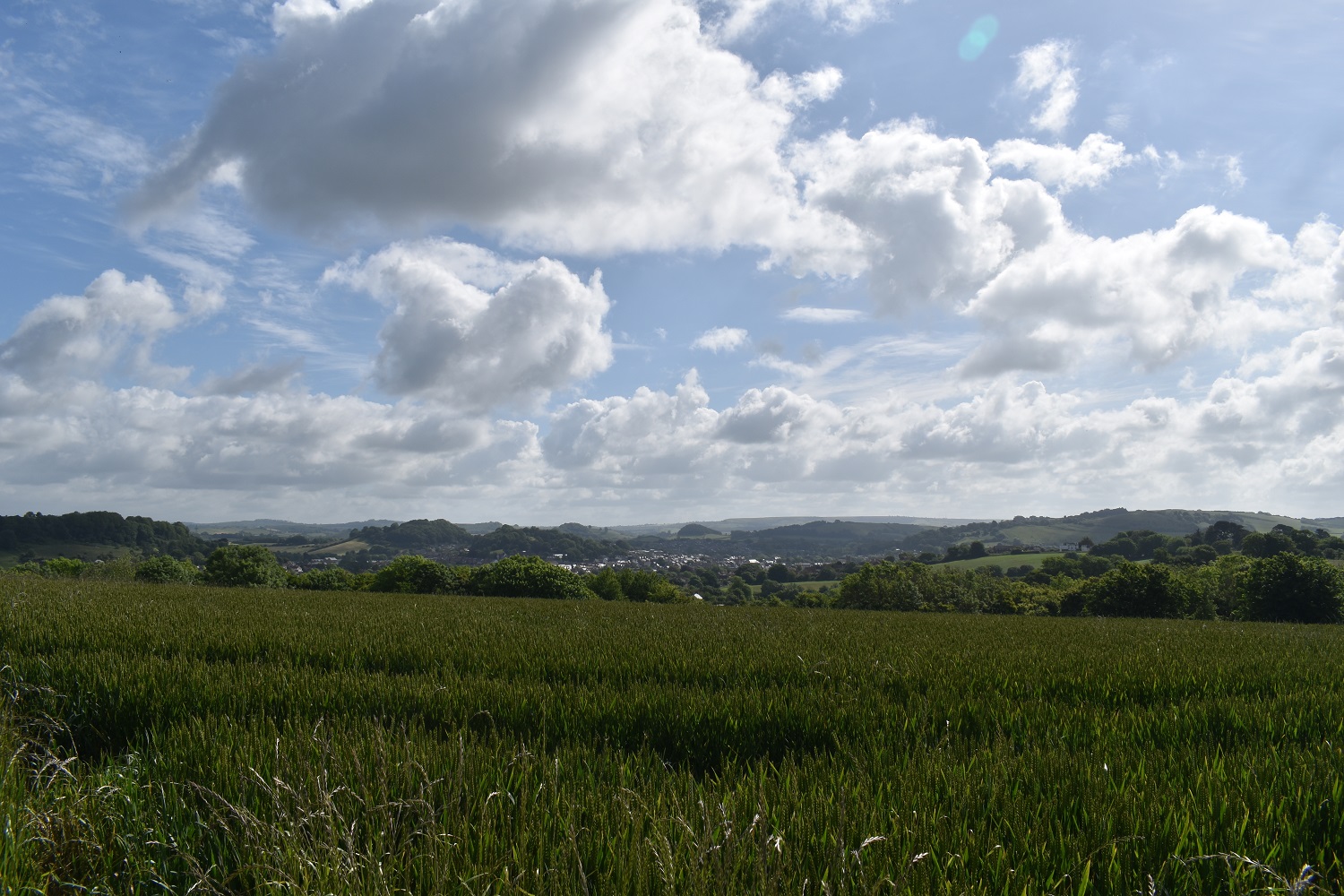
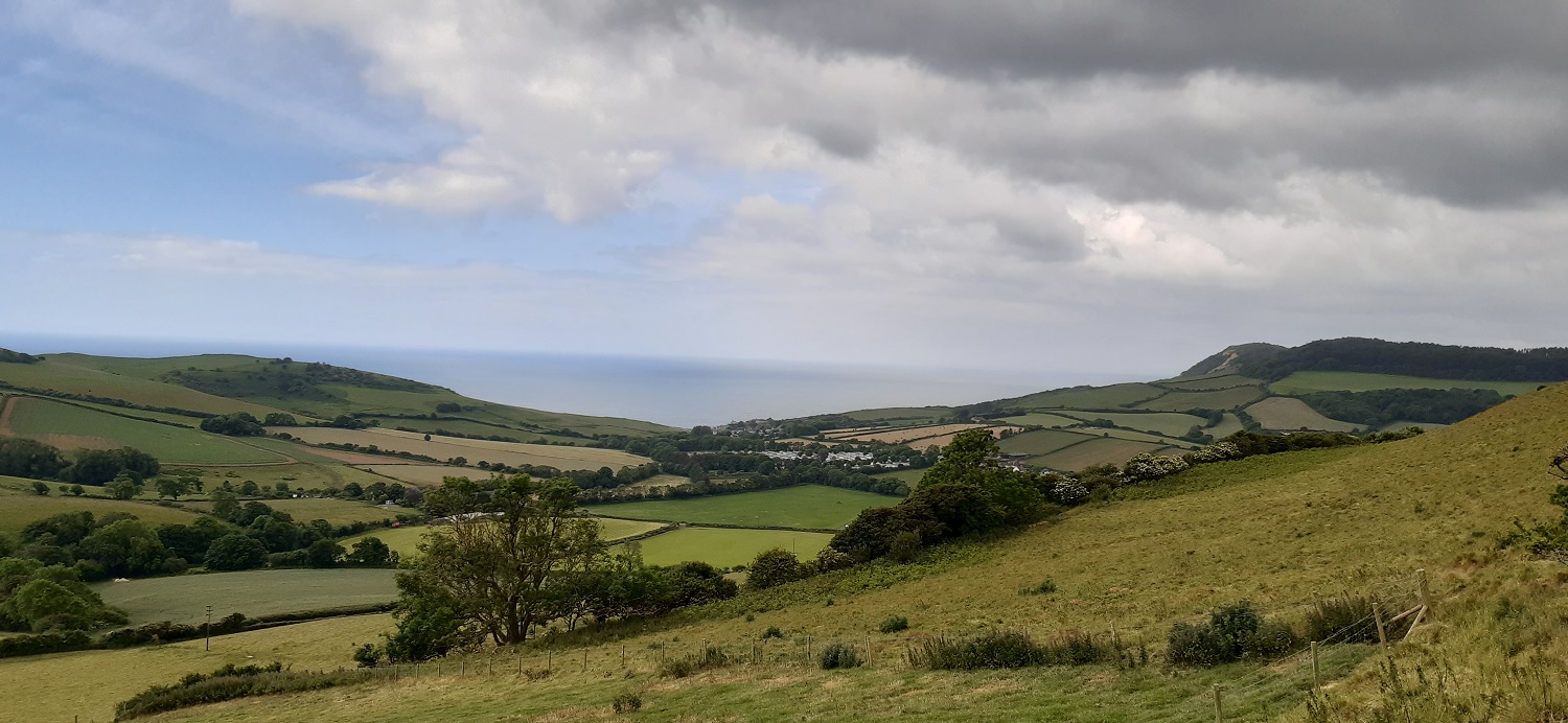
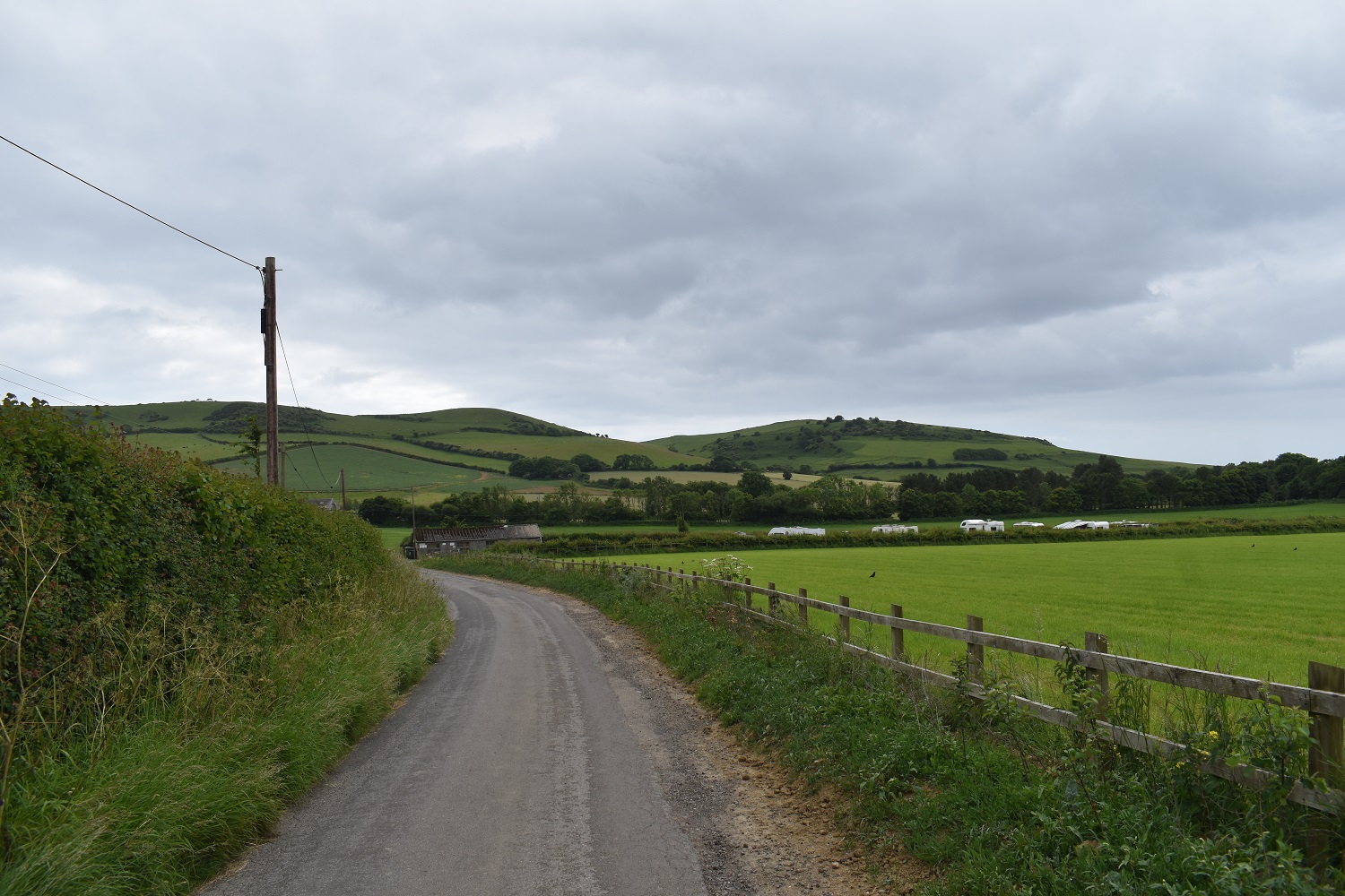
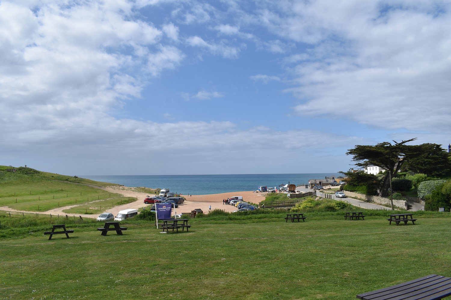
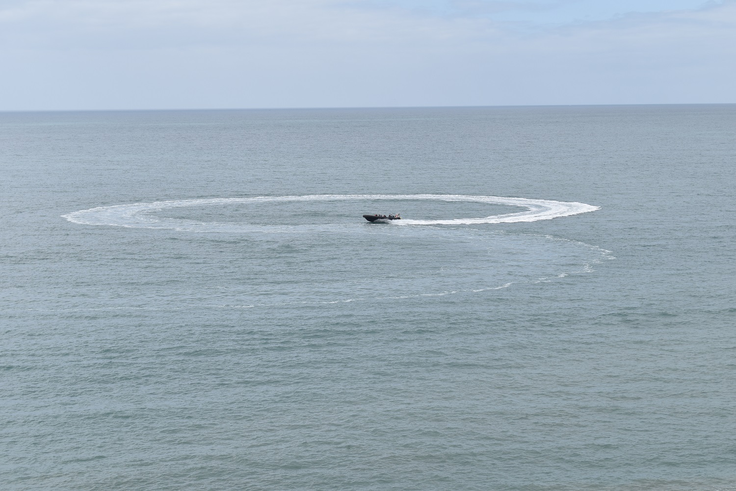
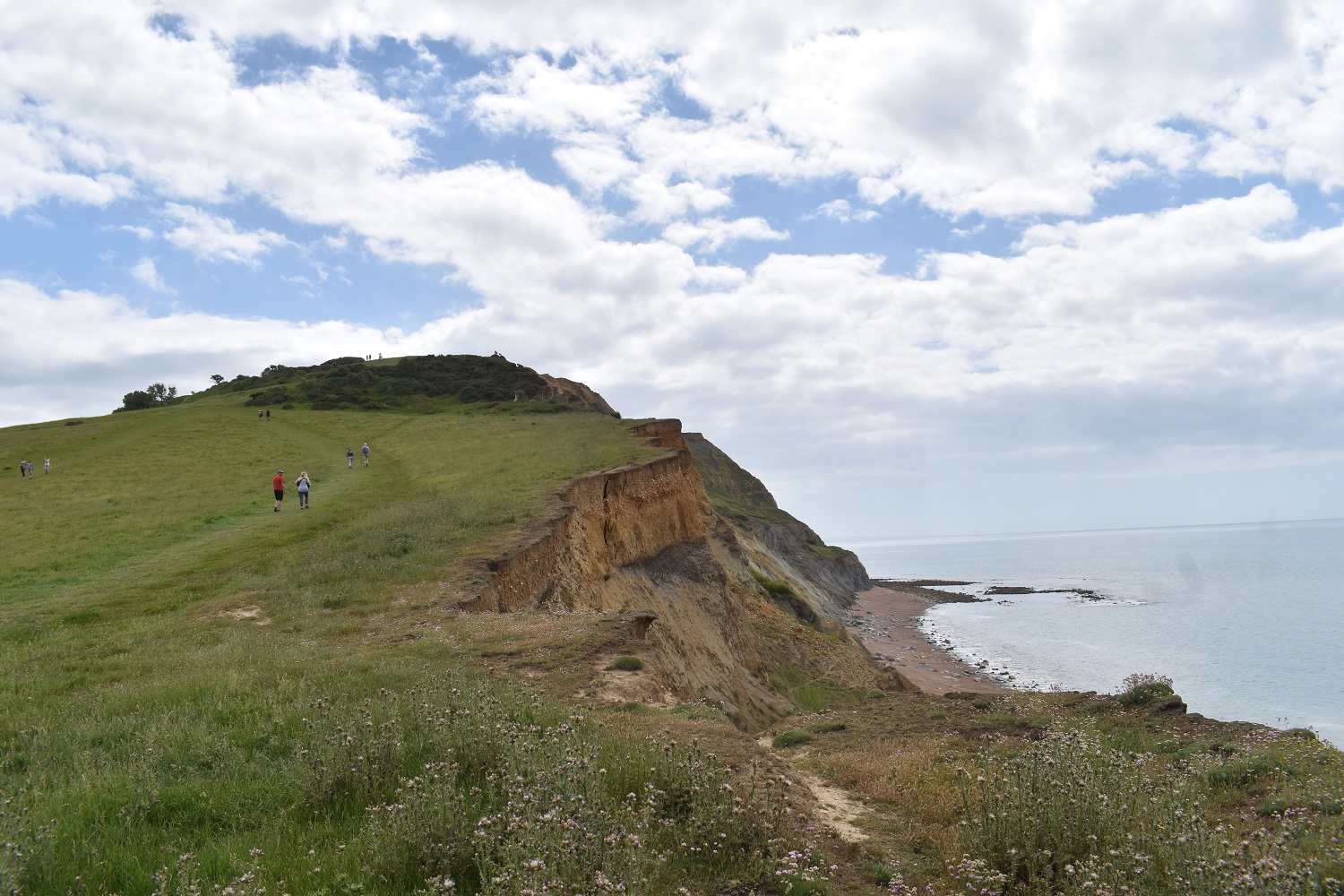
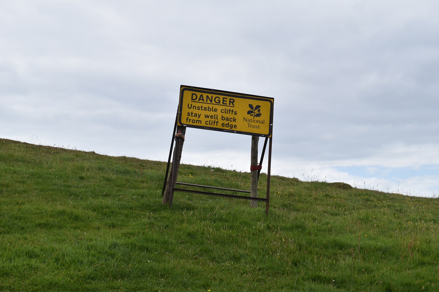
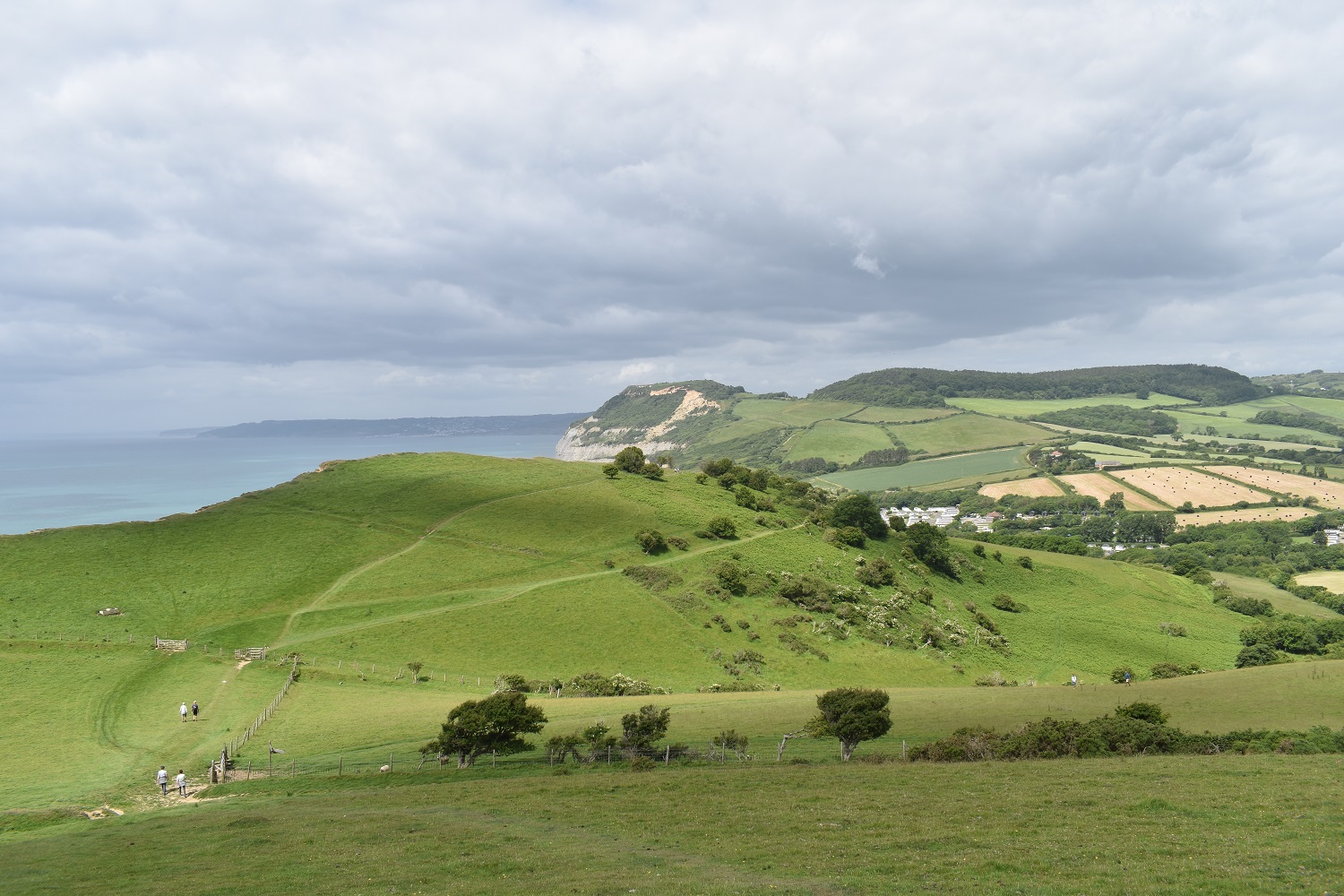
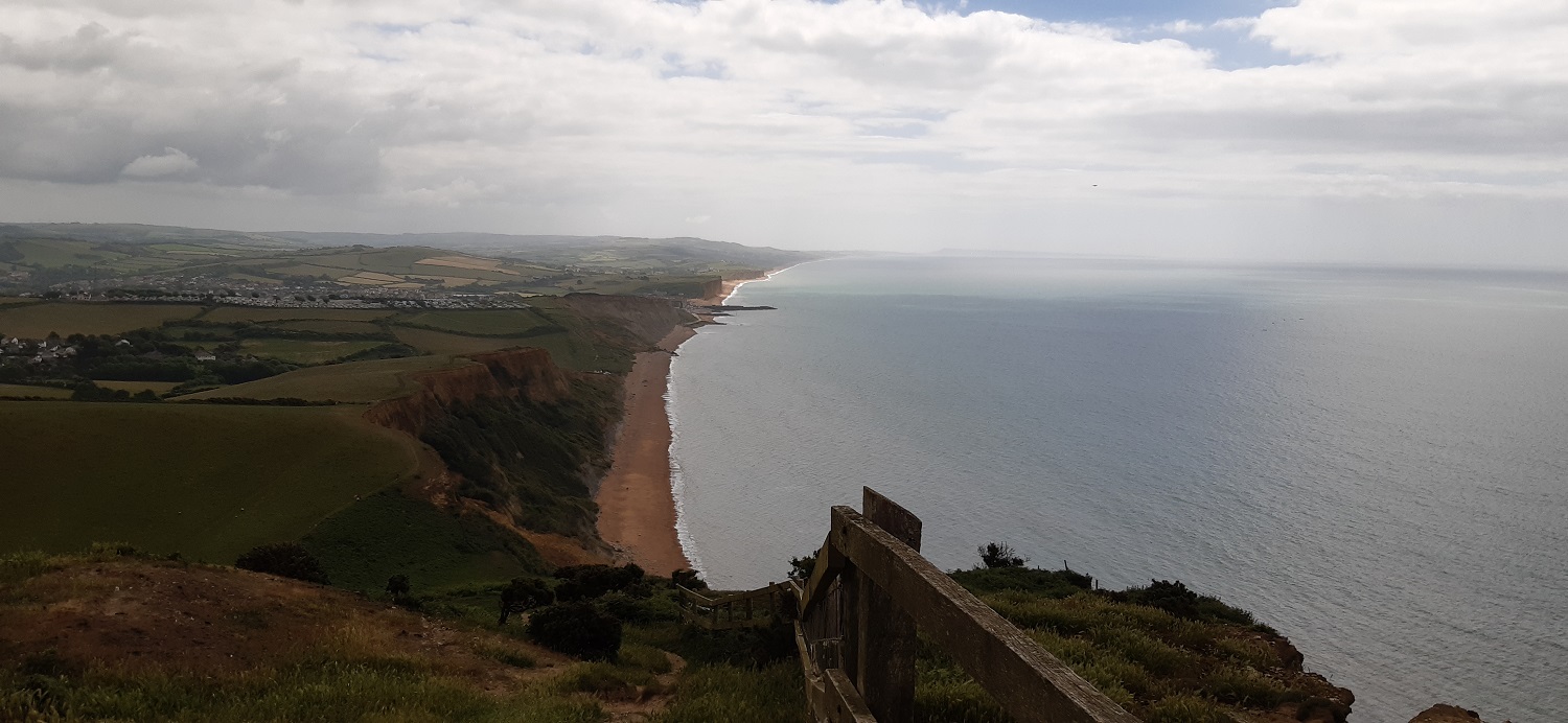
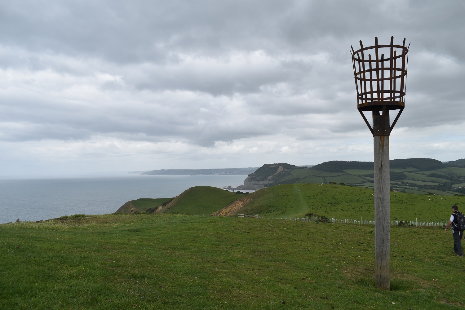
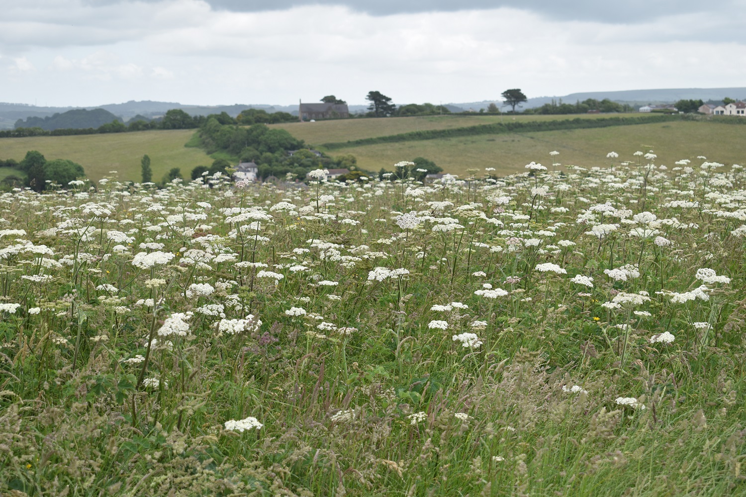
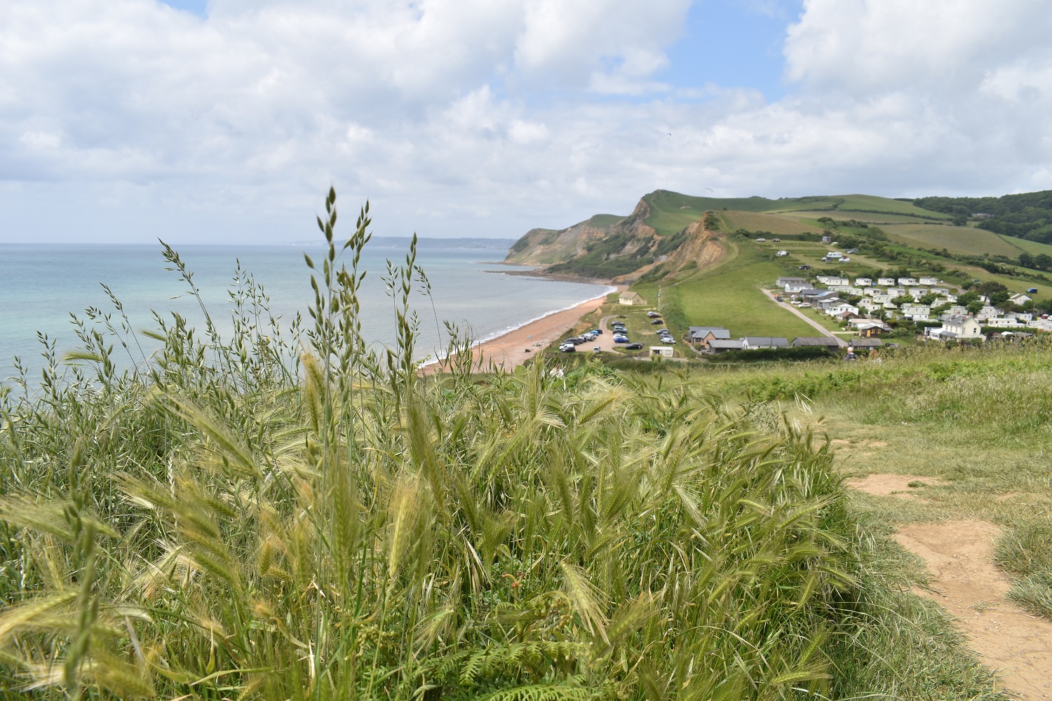
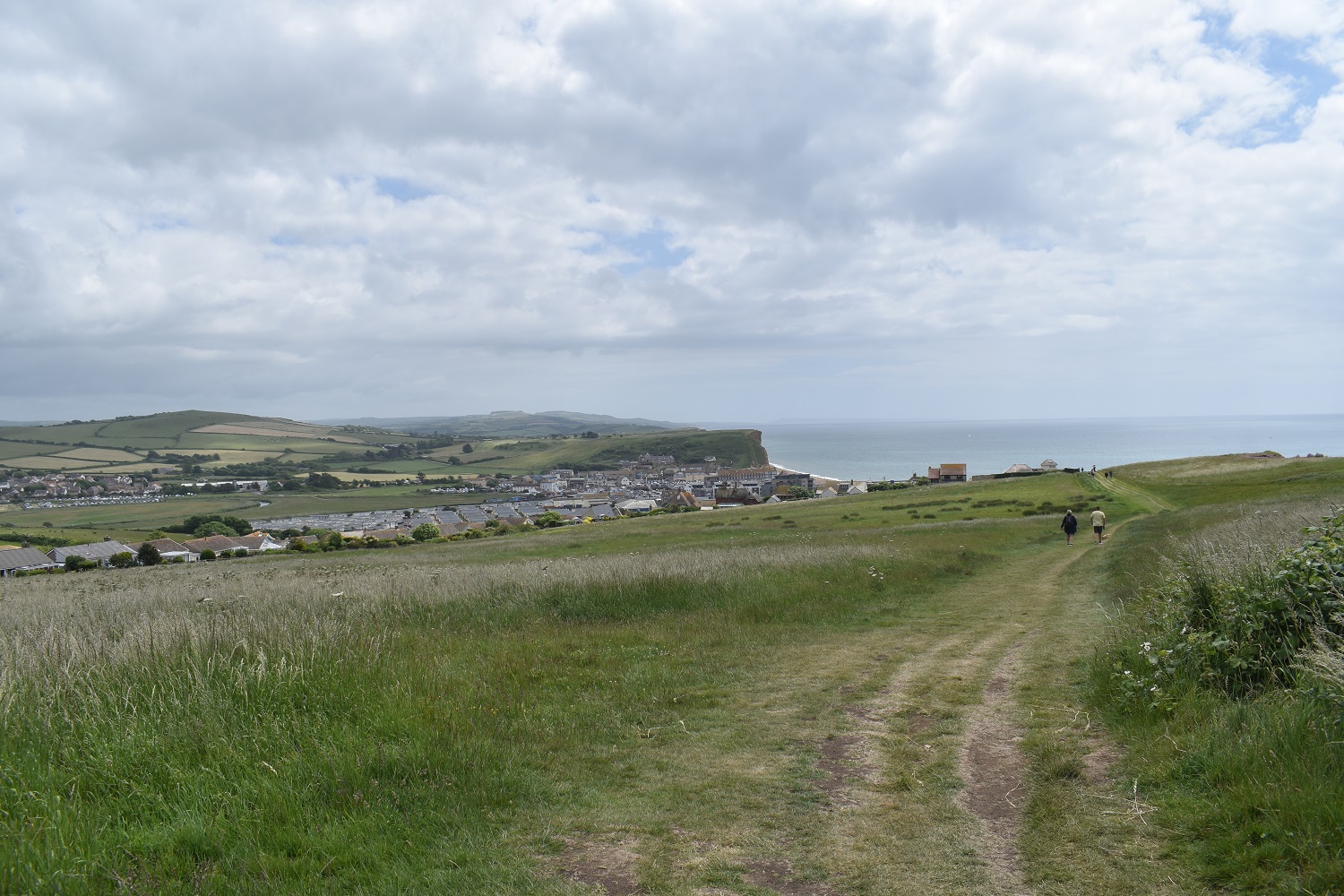
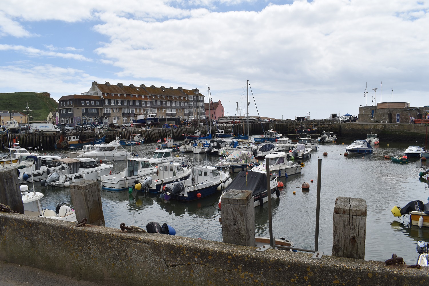
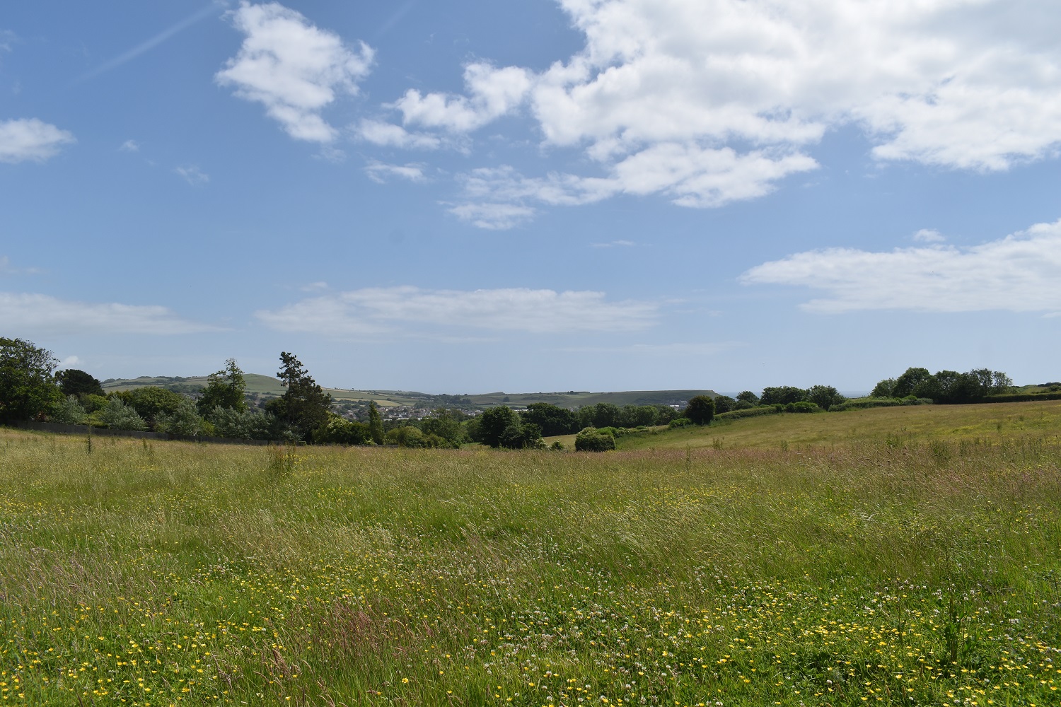
Lovely white fluffy clouds greet my starting spot, a part of Bridport can be seen down thereAnd Bridport again from further along the minor road I’m using to get to Quarry Hill. Now I’m no means a quick walker but not slow either. 2-3 mph seems to be my walking speed normally, however at this point a couple marched past me, walking twice my speed and headed off up on to Eype Down. I was tiring just watching them.First look down to Seatown, with Golden Cap up on the right and Doghouse Hill left. You’ll see I’m stood on a slope myself here as I’m heading gently up Quarry HillI quite liked the look of Colmer’s Hill over there, but less the darker skies above. Thankfully with darker and more cloudy weather was inland with sunny patches by the sea, which is where I’m heading after Quarry HillOn Quarry Hill now, I’ve followed the path over the summit a bit too far to be honest as I need to go left of those trees and then follow the path below them. The village is Chideock and the path into there handrails that strip of trees running right to left to the village.I’ve past through the edge of Chideock which appears to have waged a war against the car and has lots of speed cameras in operation, I’m now on the path down to Doghouse Farm, I turn right at that building down there and cross the field to pick up a path through a caravan park.Now I’m all for holidays and what comes with it, but these caravan parks are becoming a pain. They seem to require very little in planning to get them up and once here they do all they can to discourage anyone else but their tenants from entering. No doubt this footpath has been here longer than the caravan park and no doubt they’ve rerouted the path away from its original routeThe end of the caravan park is behind me here, and those benches there seem to be for the tenants only. This is Seatown, the car park there charges a fiver, which is why I parked where I did. However despite the caravans and the car park, it is a lovely spot.Golden Cap above Seatown beach, the coast over there is around Lyme RegisDoughnuts, boat styleHeading up to Doghouse Hill, its along here that you see the coastline literally sliding into the sea. Cracks on the face of the cliffs are obvious. Even a step to my right here shows the cliff a foot lower than where I’m stoodA fine bench and view for a brew stopTo be fair to the trust they could just fence all this off, but they’ve obviously done some homework about how long the ground can be trusted.Quarry Hill over there on the right and Chideock is the village belowThorncombe Beacon is ahead and a jaw dropping view along the coast towards West Bay and beyond to Chesil Beach areaBack over Doghouse Hill to Golden CapInland again to Quarry HillOn Thorncombe Beacon now, feeling taller than the 155metres listed. West Bay is now in view as wellThis walk was done a few days after the beacons were lit across the country for the Platinum JubileeWalking in towards West Bay now, however there is one drop and re ascent to do before getting thereCow Parsley fieldsThat’s Eype Mouth down there, another nice little beach, car park and cafe. Brew stop number 2 was taken here.Last part into West Bay now. Myself and my boys had been here for tea after our first visit to the Bovington tank museum (here) and we walked east from West Bay over the golf course after tea, meaning this was as far as I needed to go along the coastal path.West Bay, the pipe below was causing some conversations, wondering what it was.The beach at West Bay as I head out along the pier and entrance to the marina. Shame the sun wasn’t out here as the view along the coast would have been lovely. Today’s pointy highpoint of Thorncombe Beacon stands outThe culprit of the pipe and flowing water. Dredging of the marina entrance, even on a Sunday.West Bay marinaWhat followed there was an inland walk handrailing the River Brit along the Monarch’s Way to the edge of Bridport. I then turned left and crossed fields of wildflowers to this point, looking back at BridportThe final crossing of the A30 and my parking is in the trees on the left at the end of another superb coastal walk in Dorset.
I guess its the fact that from the tops you are looking straight down at the sea, which makes them feel higher than they are. I think Golden Cap is 190 metres ish but feels a lot higher.
A nice section of coast on a fine day. I’ve been up Golden Cap once, walked there and back when we were on holiday in Lyme, so the other side from your route


Lovely bit of coast, mind I once had to haul a rambler out of black quicksand!
LikeLiked by 1 person
Sounds like they’d gone the wrong way
LikeLiked by 1 person
Only just off the path on the way up to the Cap. Lovely place though.
LikeLiked by 1 person
Some superb views along the coast here and what look like some pretty high peaks if that’s the right word for a coastal high point
LikeLiked by 1 person
I guess its the fact that from the tops you are looking straight down at the sea, which makes them feel higher than they are. I think Golden Cap is 190 metres ish but feels a lot higher.
LikeLike
A nice section of coast on a fine day. I’ve been up Golden Cap once, walked there and back when we were on holiday in Lyme, so the other side from your route
LikeLiked by 1 person
As you say a superb section of coastal path, as is the bit around Lyme Regis
LikeLiked by 1 person