Another week and another coastal walk, and one I’d had my eye for quite a while and never got around to. This weekend I wanted not to drive as far, less than an hour and this one fits the bill nicely, especially as I found a nice National Trust car park inland near to Hendersick Farm, which would mean it wouldn’t be too busy. I therefore didn’t rush out of bed and started the walk at a leisurely 10.40am. Looking at the route I saw two issues and ones that I really should have thought harder about, the climb out of Polperro is horrific, its a kilometre in length and averages 10.5% in gradient and steeper in lots of it. There’s then a steep drop down to Talland Bay before another 125metres of climb out of the bay to Hendersick Farm. Both of these being in the last 2 miles of the walk as well, not good planning. All in all the coastal sections of this walk are fairly gentle, plenty of places to stop and eat and some good pubs in both Looe and Polperro. The weather was a weird one, it started brightly and I saw some sun in Looe, however the further I went to Polperro the lower the cloud went, eventually I was in the cloud/sea mist as I walked the return along the roads. Perhaps consider doing this one as an out and back along the coastal path and even though it makes the walk a longer one it would avoid the steep climbs!
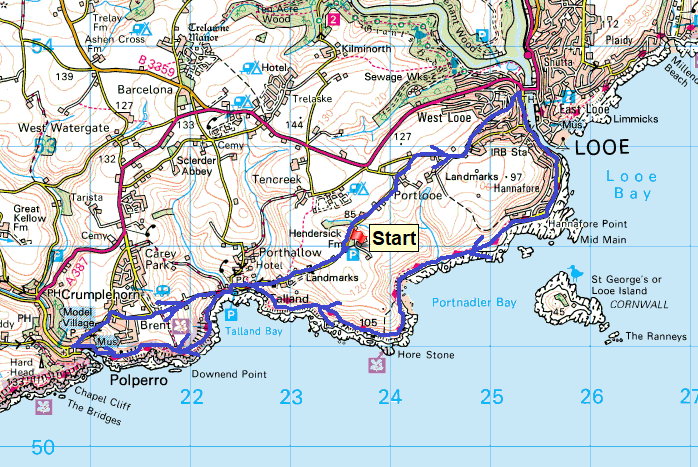
Start – Hendersick Farm
Route – Portlooe – Portlooe Cross – West Looe – South West Coastal Path – Hannafore Point – Hore Stone – Talland Bay – Polperro – Brent – Talland Bay – Hendersick Farm
Distance – 8.5 miles Start time – 10.40am Time taken – 4hrs 40mins Highest Point – The car park 126metres
Weather – Mainly cloudy, some sun in Looe and low cloud at the end, very humid
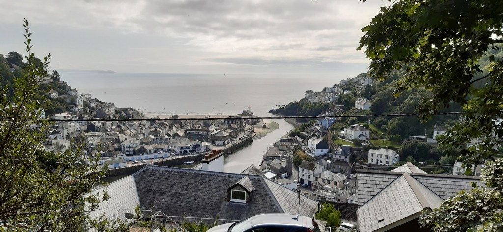
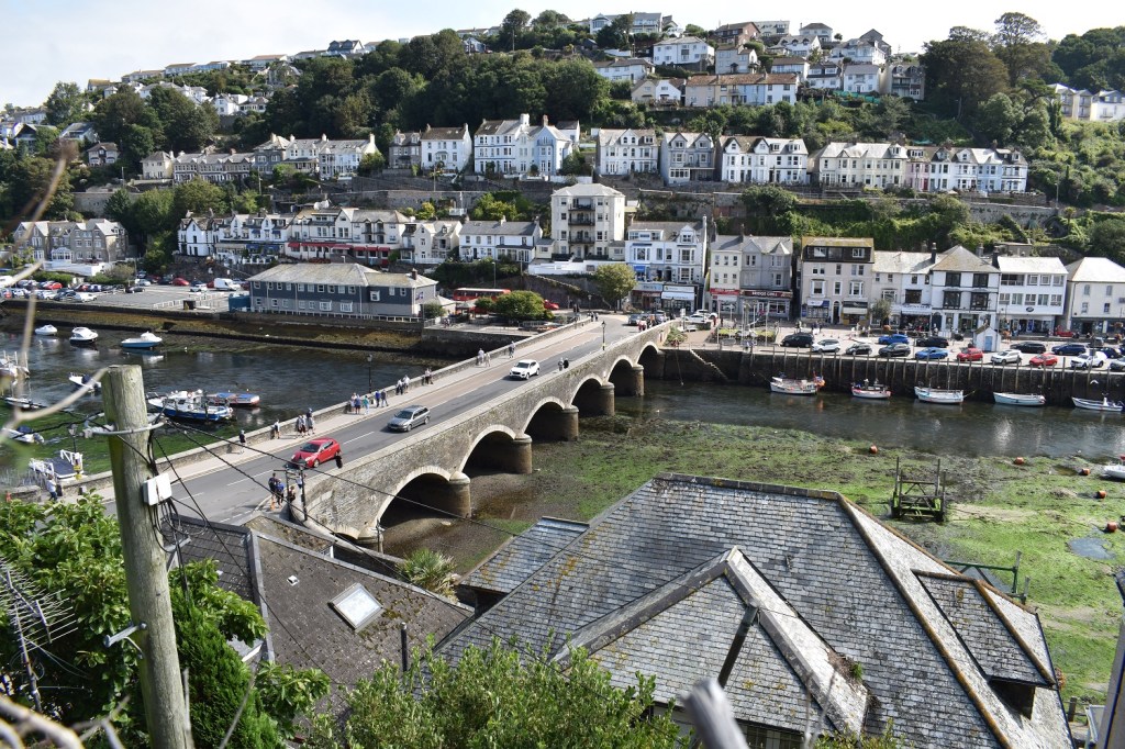
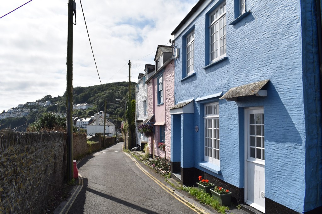
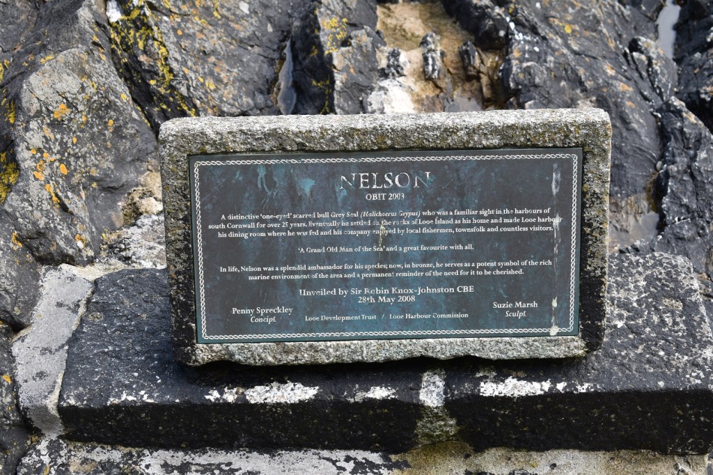
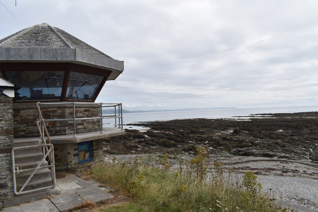
First in the car park at half ten, the large caravan park opposite was already awake and full of children playing. Out the back of the car park is a path which drops down to Portnadler BayHendersick farm, the car park is just up the road (about 200 metres) on the leftAs I’ve walked these coastal path walks, I’ve always headed one way along the coastal path and the other way I’ve made a route along lanes, tracks and roads you get me back to make a loop. Along these lanes/tracks and paths I get glimpses of the sea a short distance away. This one has Looe Island peaking out in the distancePortlooe CrossAnd turning around one of the 4 landmarks along this section of coastAs I came into West Looe I left the road to follow a path, which opened into a nice playing field, with plenty of butterflies and flowersA Small TortoiseshellAnd a glimpse to Looe as I drop steeply downhill. East Looe is left and West Looe is rightThe bridge that joins the two parts, the tide is out currentlyNarrow lanes in West Looe, with classic fishermans cottagesLooking back along to the bridgeNelson the seal, famous in these parts. I’ve never seen a bronze statue to a seal before. He sits by the estuary mouth at LooeAnd his plaqueJoining the road again I start a brief climb up and out of LooeThe beach on the East Looe side and the coast which leads around towards Downderry and Rame HeadLooe Island as I walk a short seafront section, lots of people enjoying this flat part of the path, plenty of cafes and ice cream places hereThe coastguard station, not in use today, they may rotate with the Rame Head one
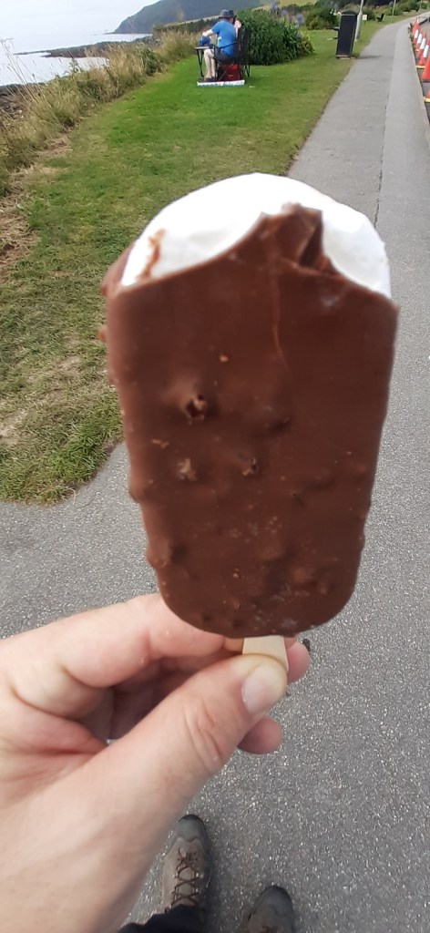
Couldn’t resist
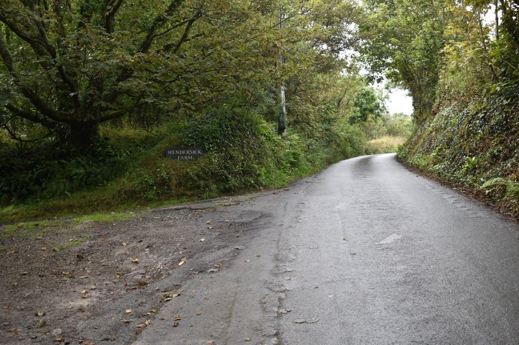
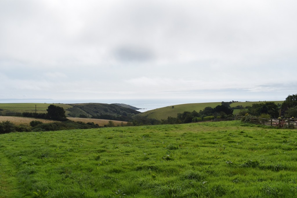
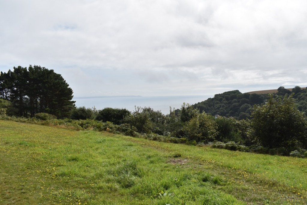
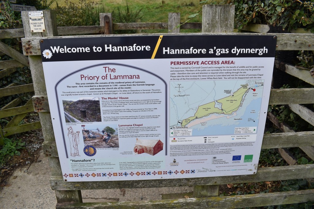
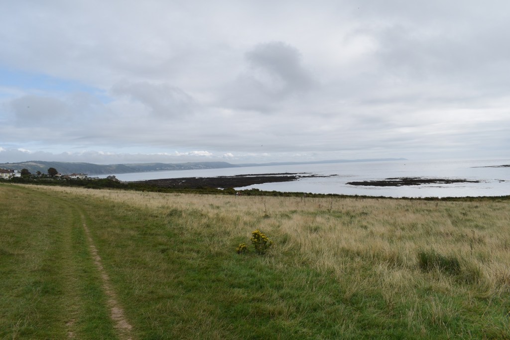
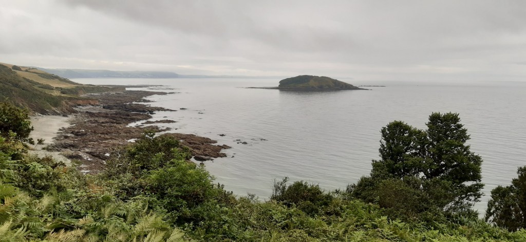
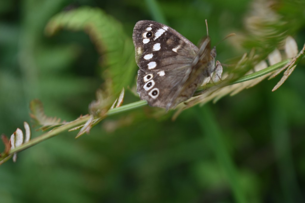
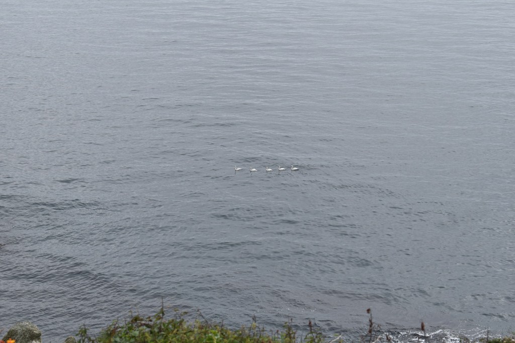
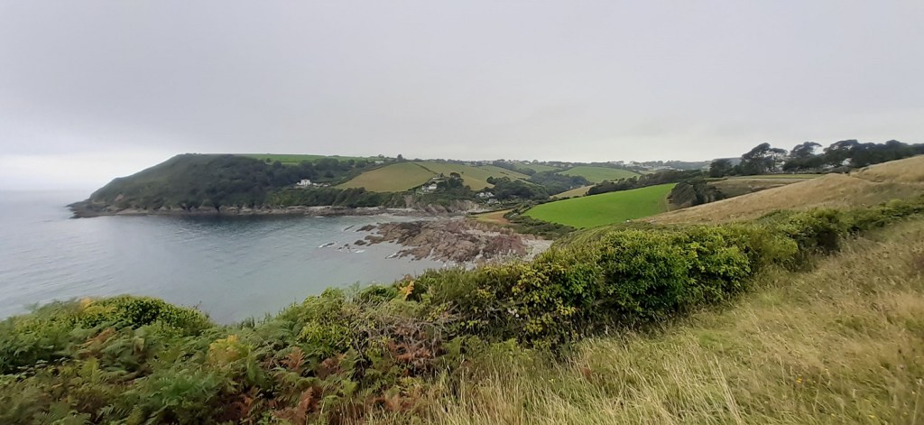
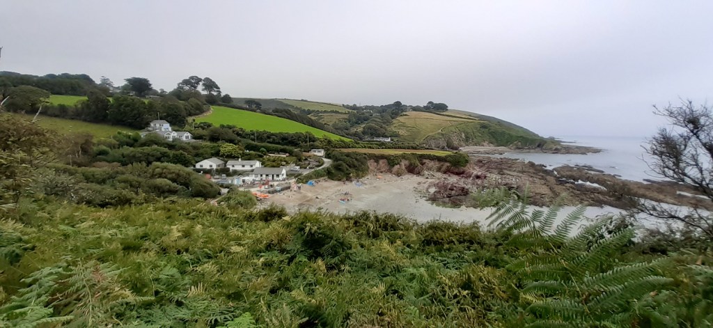
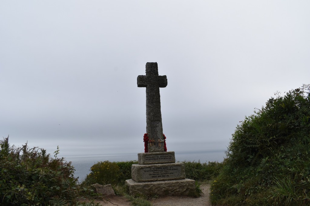
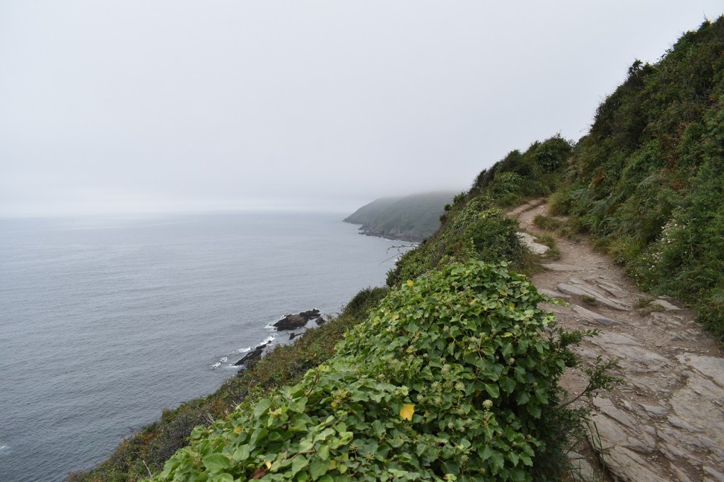
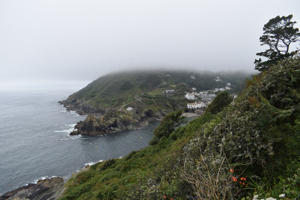
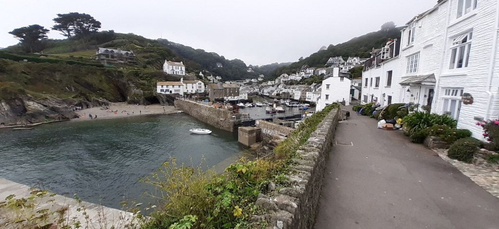
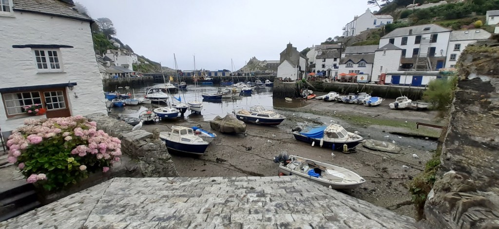
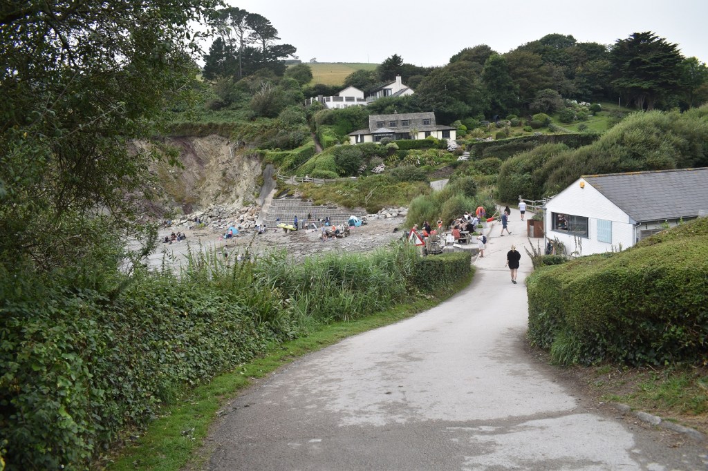
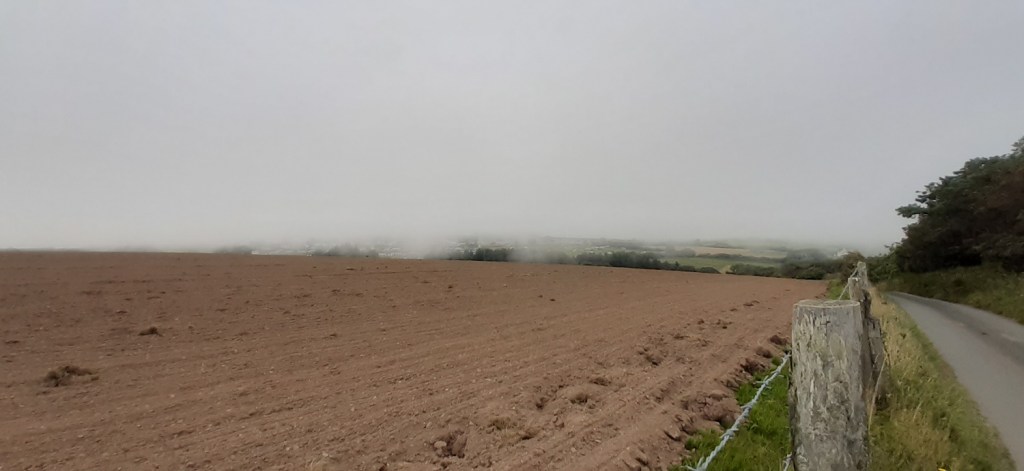
Leaving the edge of West Looe you hit this old priory area from 1144As you can see the path is nice and flat around these parts and ground can be eaten up across hereRed AdmiralPortnadler Bay and Looe Island, the cloud had thickened here and was touching the top of the Battern cliffs far across the bayA Speckled WoodThe Hore Stone and Looe Island, I sat and had coffee here and enjoy the calmness of the seaAs I was leaving I noticed 5 swans a swimming, in the sea!! I guess they had left Polperro (to my right) and had a lunch reservation in Looe (to my left)There was a short section of scrub on which about 20 of these Common Blues were in attendance Talland Bay ahead with Downend Point on the leftTalland Bay, parking, cafe, bar, toilets and a beachI headed around Downend Point and past the war memorial before starting to drop down towards PolperroA few exposed sections which would be hairy in the prevailing southwesterly, the next inlet is Polperro however the cloud appears to have dropped a fair bitRounding the corner into Polperro the cloud is definitely in for the dayI love Polperro, the street are very narrow, park outside the village and come for an exploreVery narrow, classic fishing villagePolperro harbour, there’s 3 pubs here and a few bits to see. I next turned uphill at Talland Hill and climbed and climbed and climbed, relentlessly for a kilometreI reached the summit at the village of Brent and then started to drop down Sand Hill back into Talland BayThe cafe at Talland Bay and part of the beach. Again after this photo I started to climb, gently at first and then more steeply past a church at Talland and then up towards Hendersick FarmLooking the same way as the first photo in this post, the caravan park is enveloped in cloud now and I am whacked by two steep climbs in the last 2 miles. Still another section ticked off and hopefully I will be able to head further afield on some of my other walks as autumn approaches
Always liked those twee fishing villages, assuming you can actually find somewhere to park. Coastal walking is tough especially if you do the circuit option. We did a walk on the north coast a couple of years back and clocked up a similar amount of ascent to a decent day in the South Wales mountains


Looks a very picturesque walk. Those villages are lovely. I like the name Polperro.
LikeLiked by 1 person
Polperro is lovely, some of the roads are only a pavement wide, must have made distancing tricky in the last 18 months!!
LikeLike
Always liked those twee fishing villages, assuming you can actually find somewhere to park. Coastal walking is tough especially if you do the circuit option. We did a walk on the north coast a couple of years back and clocked up a similar amount of ascent to a decent day in the South Wales mountains
LikeLiked by 1 person
Polperro is a cracker of a place and your right about coastal walking the ascents creep up on you
LikeLiked by 1 person