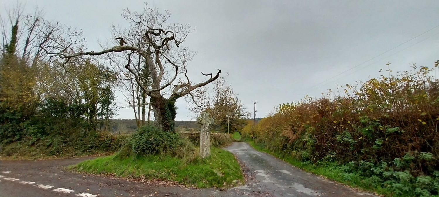
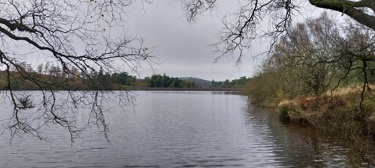
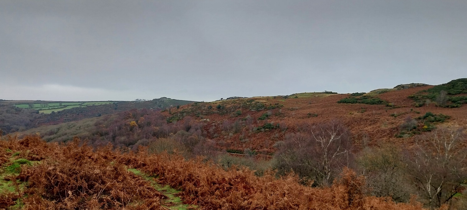
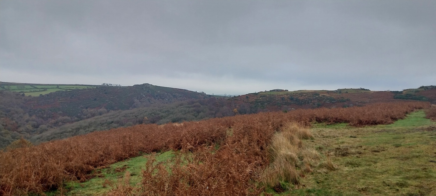
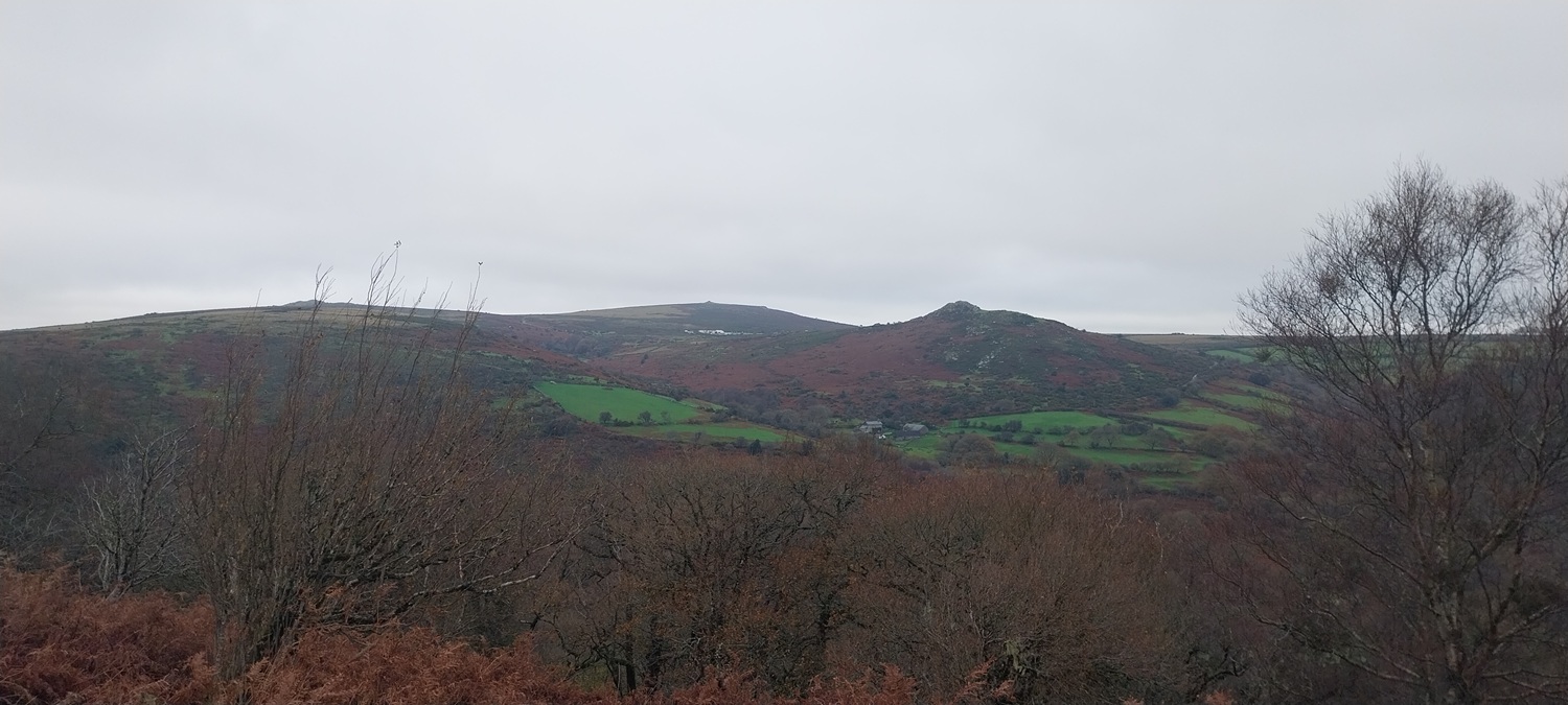
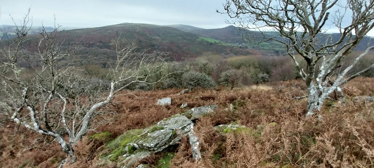
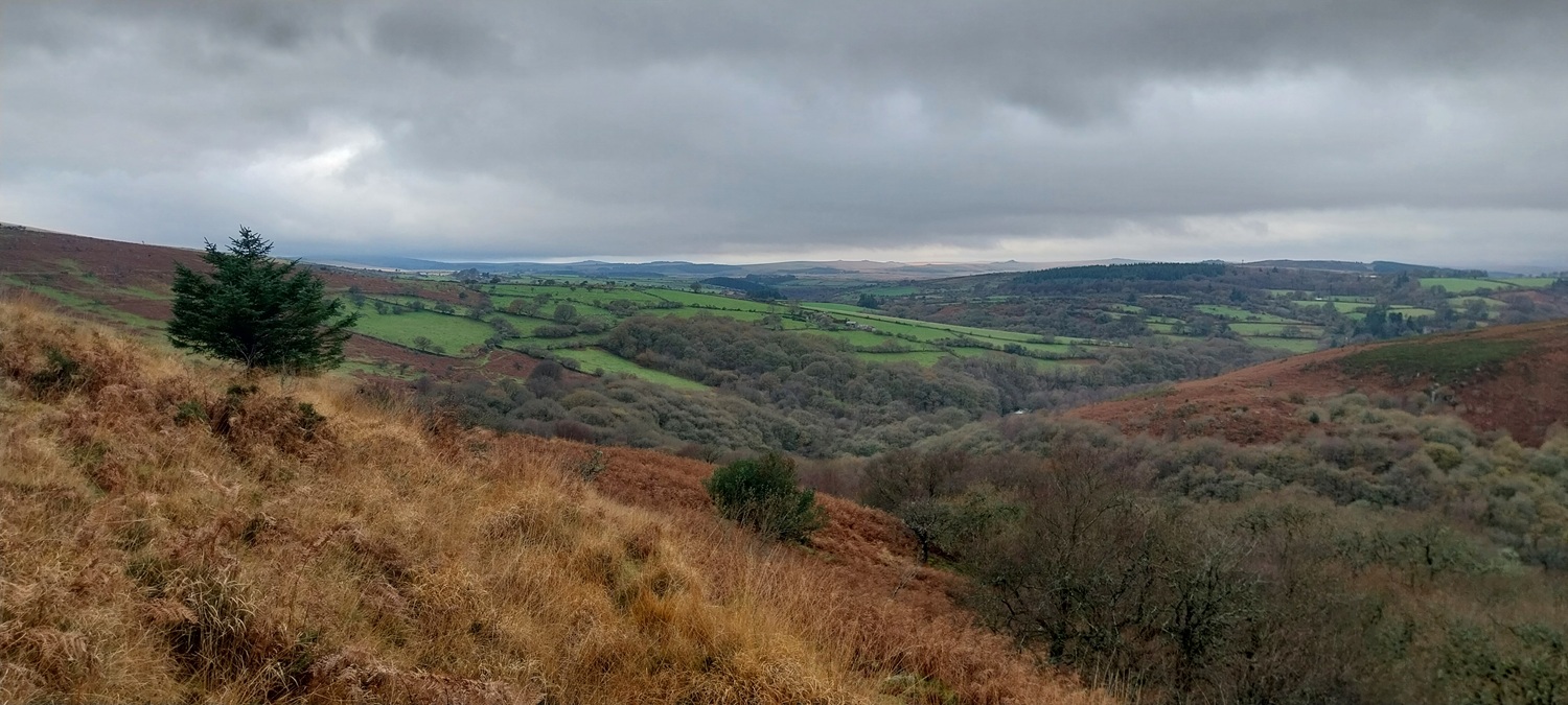
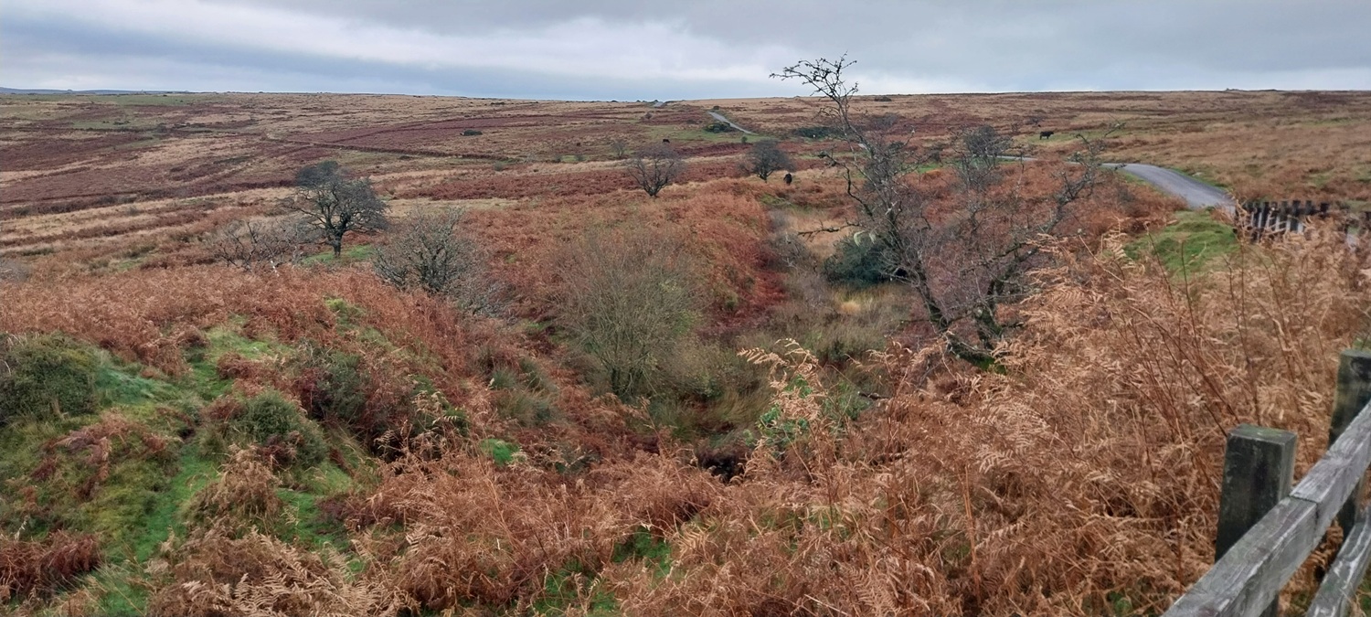
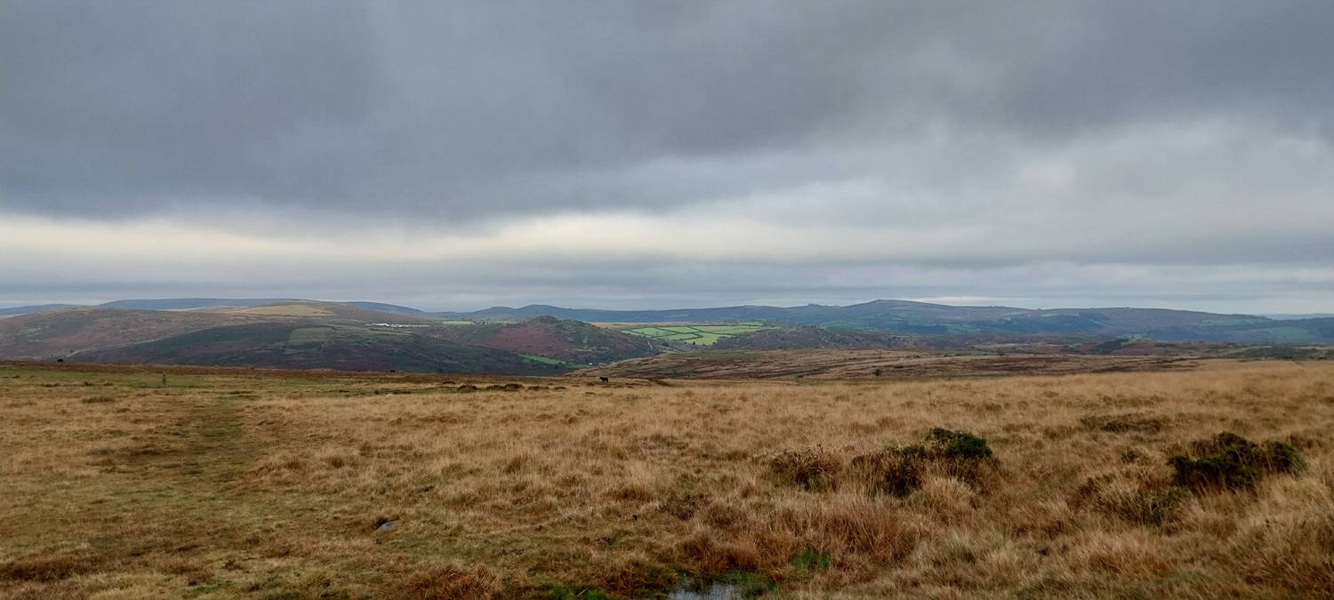
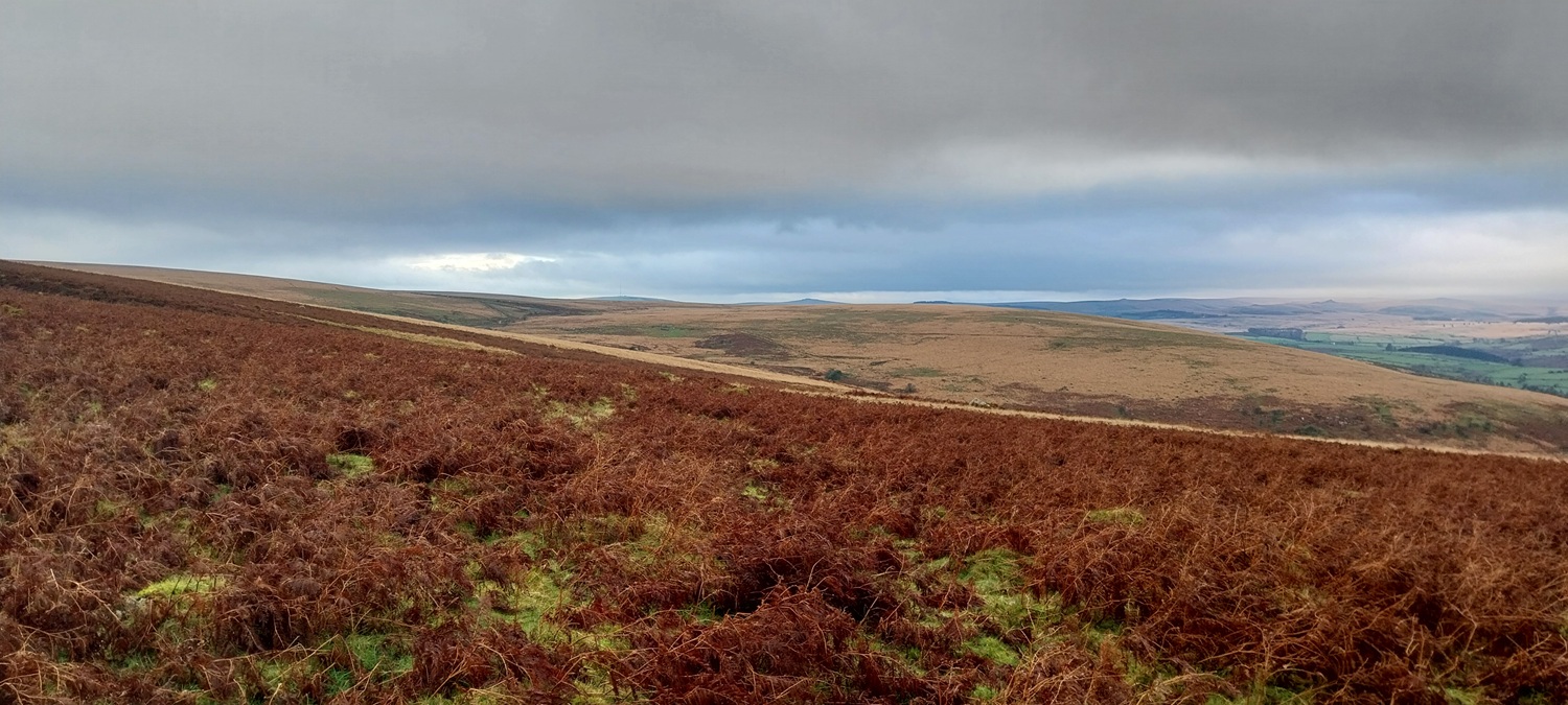
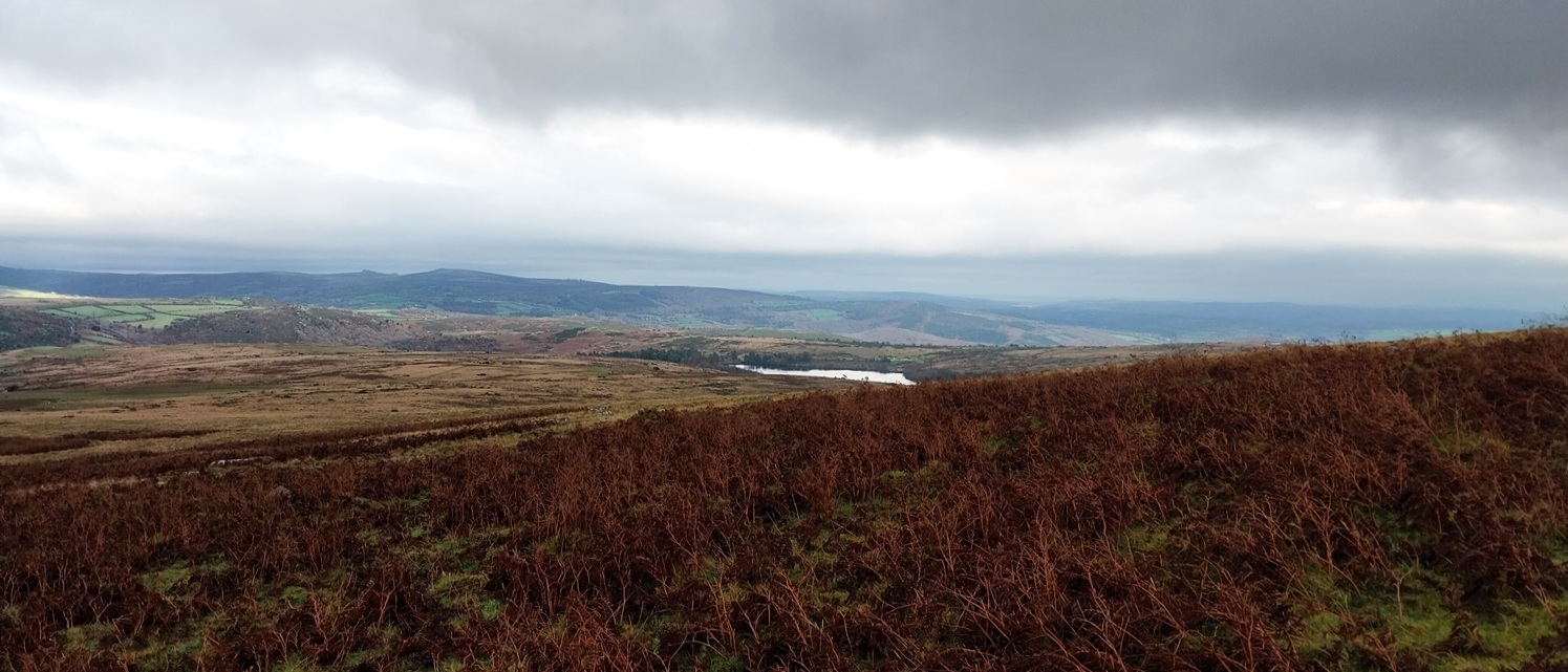
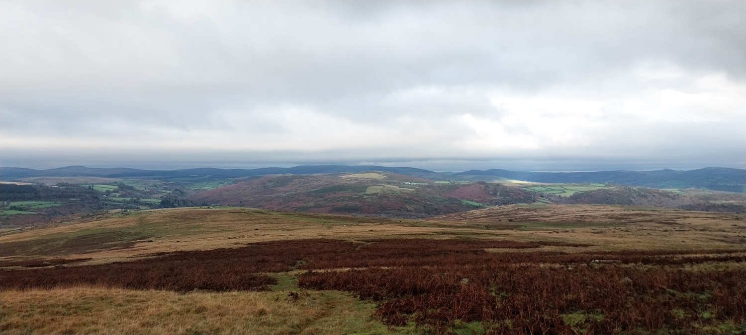
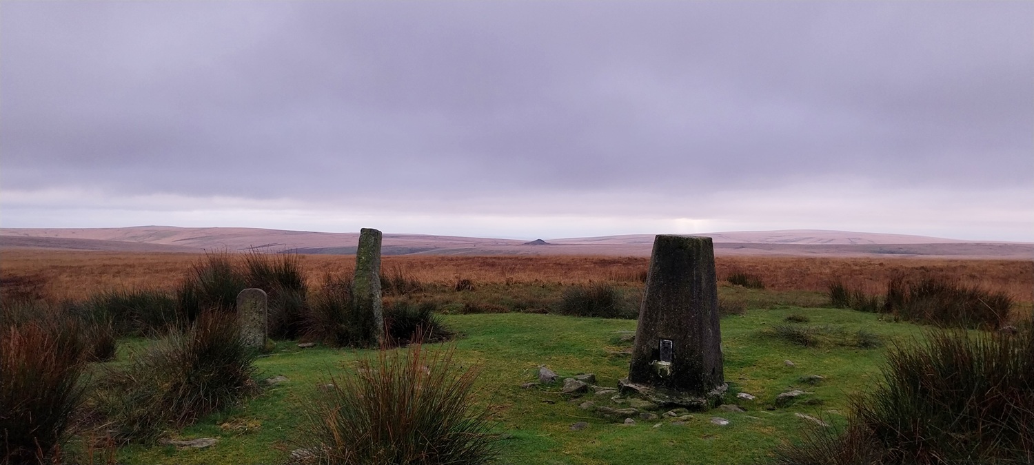
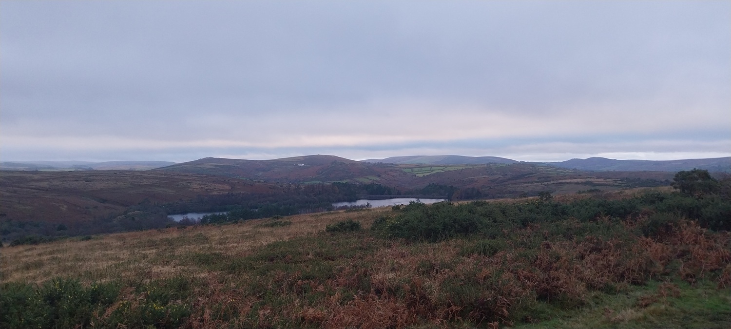
Buoyed by a lovely walk the week before around Bag Tor, with some lovely sunshine and the odd heavy shower, we set off for Dartmoor again. Unfortunately this time the weather was very dull and the palette on Dartmoor is fully brown and yellow now. It felt very bleak out there on this walk. We started by Venford Reservoir, completing a loop of it, before heading downhill past the dam, then more steeply down into the valley to find the waterfall. We sat here for a bit with a coffee in hand before starting off uphill to reach the leat above. Following the leat we enjoyed views down into the Dart Valley and across to Sharp Tor and the site of a new film (Werwolf, with Willem Dafoe). There has been a number of areas setup to film this new epic on Dartmoor, but this large tented village has been near Sharp Tor for most of November. Next we arrived at Aller Brook Outcrop/Tor, covered in brown bracken we sat on one of the rocks for lunch. Again we joined the leat and followed it as it curved across to Hangman’s Pit, another of those sorry Dartmoor tales. The cloud had risen a bit and we decided to head up to Horn’s Cross and then on to Ryder’s Hill. If I’m honest I’d forgotten how far up Ryder’s Hill was from this side, and it was a bit further than I expected. I got a stern look from Linda, as I finally pointed out the top with its trig point and boundary stone. The descent was fairly quick, however a light shower dropped the cloud for 10 minutes as we passed through the old tin mining area on our way back, again we crossed the Holne leat as we neared the car, probably our 5th crossing of this watercourse on the walk. So this was a good walk to start with and all the way to Horn’s Cross we enjoyed ourselves. The part up to Ryder’s Hill was longer than I thought and one of us wasn’t impressed, but the descent back was good and we were back well before it started to go dark. A couple of more ticks for Linda on her list of tors and more squares on my Dartmoor 365 Round 2.
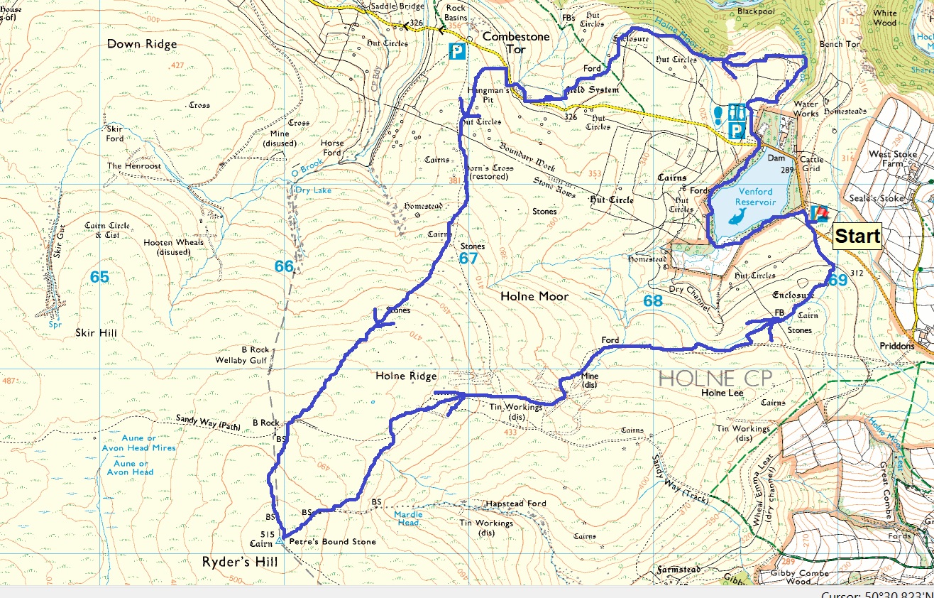
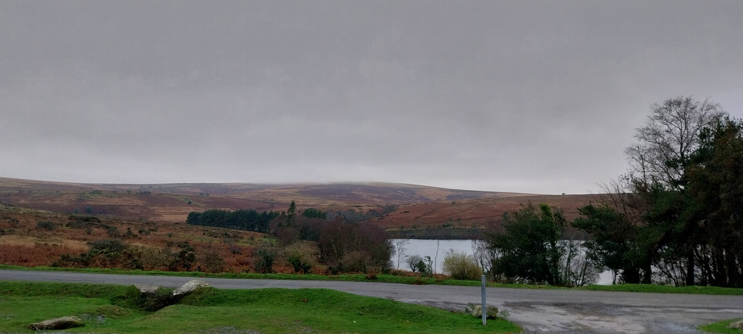
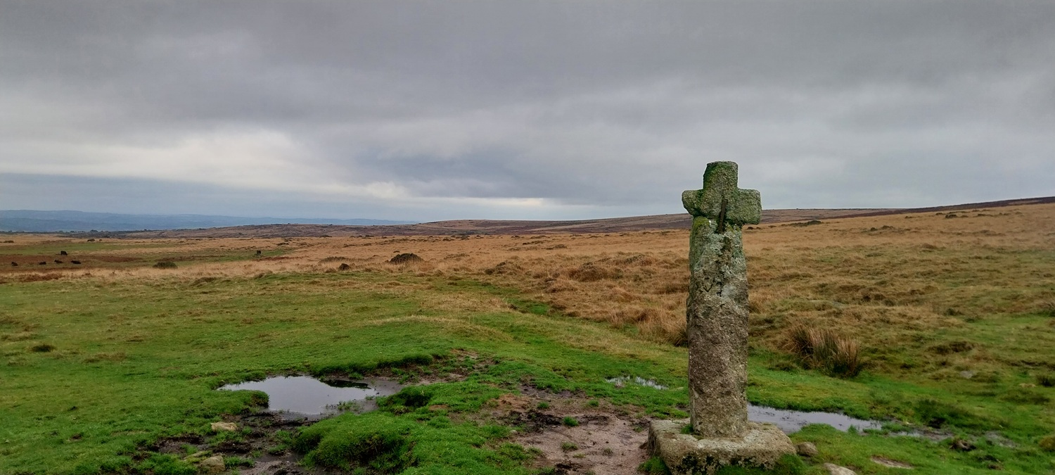
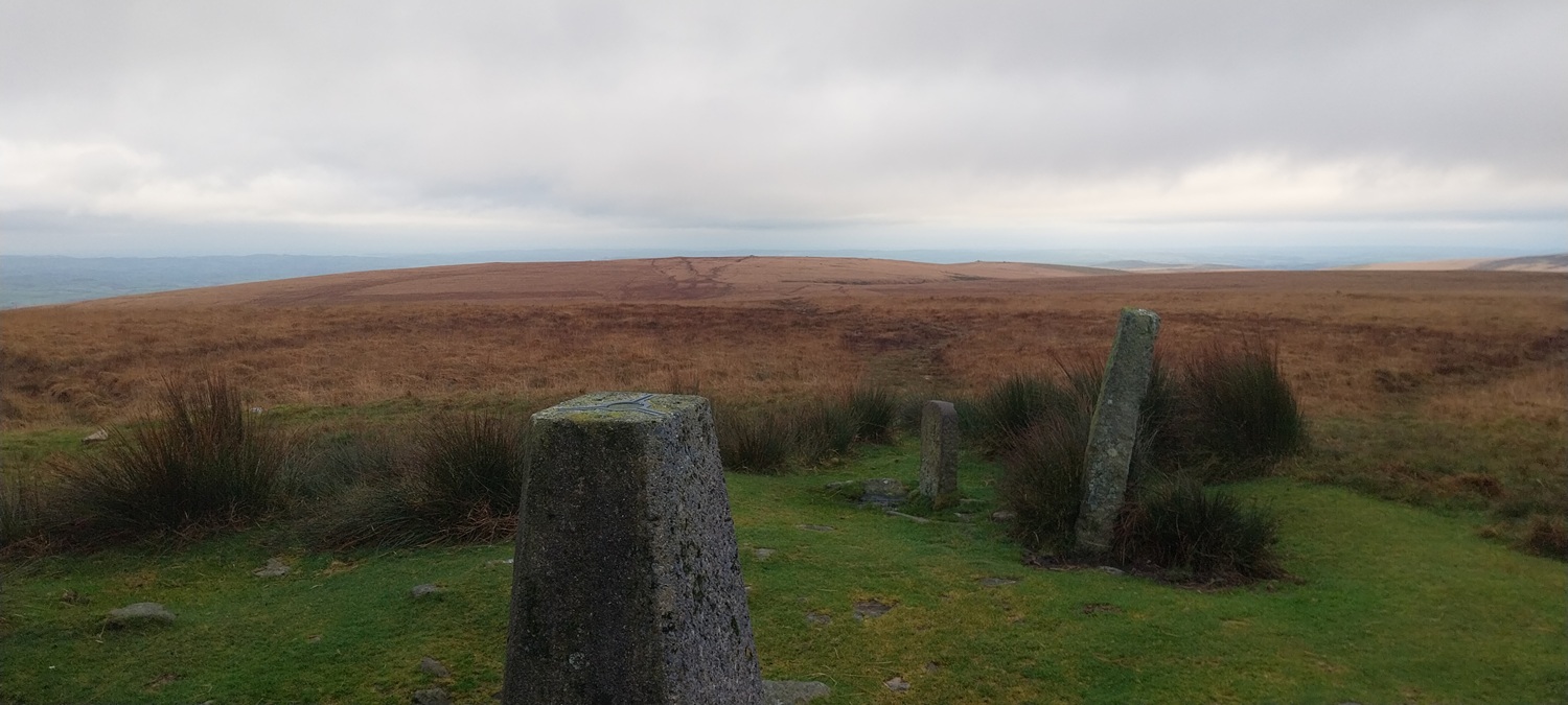
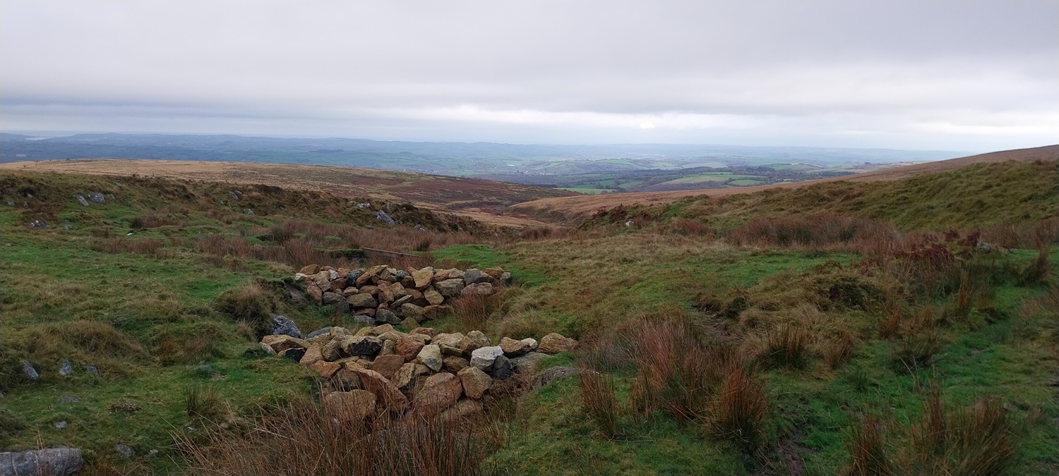
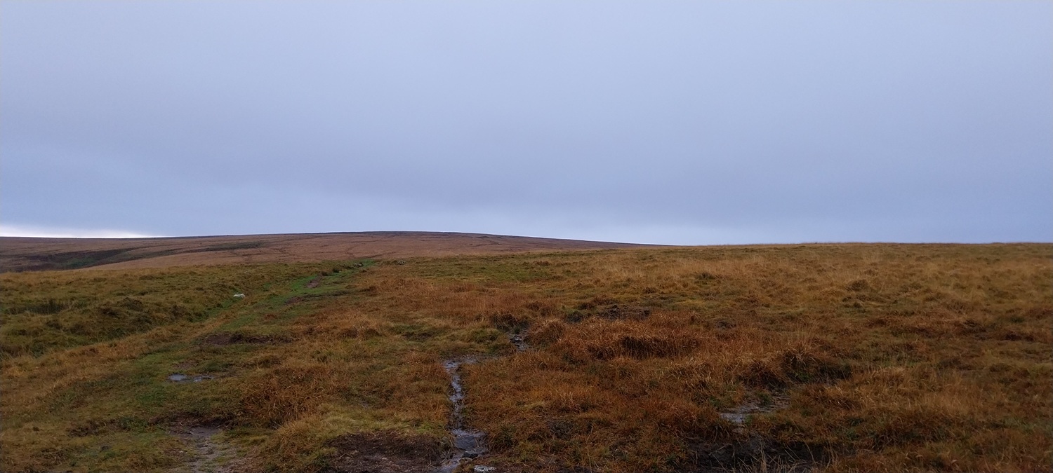
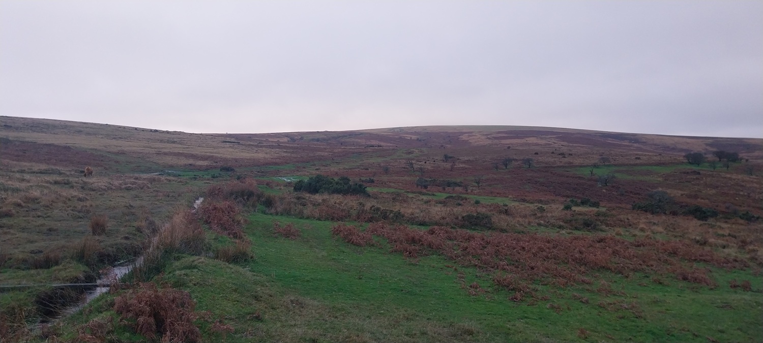
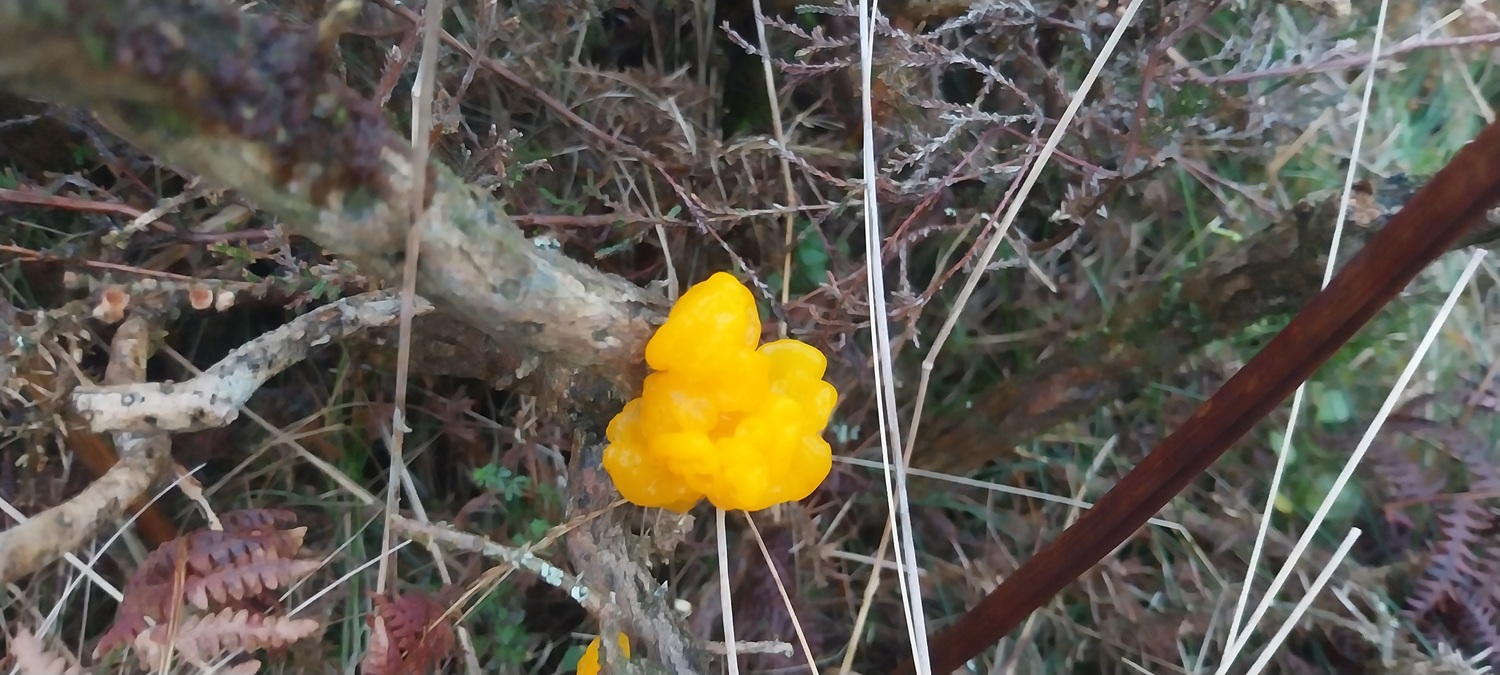
Driving up to Venford Reservoir we passed by Stumpy Oak and Hawson’s CrossVenford Reservoir from the car park and Ryder’s Hill behind that, with cloud on its topCircling Venford Reservoir on a grey dayTree lined pathThe dam end of the reservoirBrowns everywhere with all the bracken as we drop down past the dam, we would drop down to the right here to the waterfallVenford Waterfall and time for a coffeePointy Sharp Tor across the Dart ValleyThe Dart Valley and the river below us as we climb to the leatMel Tor across the valley, on the right is Bench Tor and North TorThe white tented village can be seen now to the left of Sharp Tor, backed by Corndon TorAller Brook Outcrop and time for lunch. It was pretty cold here so we layered up for our breakAlong the Dart Valley, in the far distance is the ridge out to Longaford Tor and Higher White TorMore browns, or should it be Moor browns! Sharp Tor is the shapely hill, with Vag Hill on the leftHangman’s Pit, a story of a poor farmer who sold his best cattle at market, after a few celebration drinks he was walking back to his farm, 10 miles away. A gypsy saw him and sold him a “great” horse for a good price. The animal became lame half way back, and realising his mistake the farmer took the horse’s bridal and hung himself at this spotHorn’s Cross, a repaired cross on the way to Buckfast AbbeyLooking north from the path to Ryder’s Hill. Hameldown is back leftMore brown and Down RidgeA glimpse of the reservoir as we head up to Ryder’s HillFine views looking back, it was probably about here that I realised it was a fair bit more to the summit. I told Linda and she was very understanding 😕Ryder’s Hill summit. Petre’s Bound Stone on the left and the trig on the right. In the centre in the distance (dark pointy hill) is Redlake. Between us and that would be around 2 miles of the wettest land in these parts.The second place medal for wettest land goes for this section between Ryder’s Hill and Snowdon (no not that one), which is around 500 metres long to get there, and at this time of year you will be pulling your feet out of the sinking goopAll around Ryder’s Hill they are creating blockages to hold the water back, this one feeds into the upper River Mardle. Looking back up to Ryder’s HillThe background is looking decidedly damp and in about 10 minutes it would be drizzling a little and the cloud would be down, but for now we could see the Venford ReservoirRyder’s Hill at the back again and we’d just crossed the Holne Leat again, 5th time I thinkPicking our way through the longer grasses back to the car park by the reservoir. Behind that is Yar Tor, Corndon Tor (white tents below it), Hameldown, Honeybag Tor and Chinkwell TorYellow Brain fungus on a gorse bush as we got near to the car. The brightest thing we had seen that dayAnd back to the car. If we miss out the bit from Horn’s Cross to the tin mine area we are talking about a great walk. Linda remembers more of me saying its that high lump over there (pointing at Ryder’s Hill summit). I can’t argue, it was a bit soggy and grim getting there. Still it was better than work!!
8 thoughts on “Venford Reservoir, Hangman’s Pit and Ryders Hill”
Nice round there and great pictures. Always intrigued by that old tale of Hangman’s Pit. It features too in Eden Phillpotts novel The American Prisoner, which is worth a read,
It was a good walk for sure, although Ryder’s Hill was soggy as always and the area is only going to get worse with all the barriers they are putting up to hold the water back from the Avon and Mardle
Looks like a fine outing.
“One of us wasn’t impressed”. I know that look! And often more than a look. It’s like you’ve deliberately reorganised the landscape just to be awkward.
If Ryder’s Hill is already soggy then the blockages will surely only make things worse. I suppose there’s often a conflict between conservation and access – I’ve wondered about this, for example in the region of High Tove where bog is being restored and where, when that has been successful, stepping off the duck-boarded path will surely be at the risk of submerging.


Nice round there and great pictures. Always intrigued by that old tale of Hangman’s Pit. It features too in Eden Phillpotts novel The American Prisoner, which is worth a read,
LikeLiked by 1 person
It was a good walk for sure, although Ryder’s Hill was soggy as always and the area is only going to get worse with all the barriers they are putting up to hold the water back from the Avon and Mardle
LikeLiked by 1 person
Looks like a fine outing.
“One of us wasn’t impressed”. I know that look! And often more than a look. It’s like you’ve deliberately reorganised the landscape just to be awkward.
If Ryder’s Hill is already soggy then the blockages will surely only make things worse. I suppose there’s often a conflict between conservation and access – I’ve wondered about this, for example in the region of High Tove where bog is being restored and where, when that has been successful, stepping off the duck-boarded path will surely be at the risk of submerging.
LikeLike
Even though it was a grey day you still captured some lovely colours. I hope you were kinder to Linda than on our walk earlier this year 🤣
LikeLiked by 1 person
To be honest I was just trying to get to the top and hoping she wouldn’t notice it was further than I thought. Failed at that as well!
LikeLiked by 1 person
Lovely – despite all the drizzle!
LikeLiked by 1 person
Wonderful post
LikeLiked by 1 person
These autumnal colours are so lovely.
LikeLike