The hills and tors around Castle Drogo

Like the last walk this one was a bit of a tidy up exercise to complete my Dartmoor tors list, after this I’ll have 5 left.. There were two walks, and a couple of darts to grab two more, which made 7 for the day. The five I have left will all be single walks to those tops. These ones however were good and I really enjoyed the National Trust walk to Fingle Bridge and back, despite the constant drizzle. It seems to be the way at the moment that I take a day off or plan a weekend walk and it results in poor weather. Well its not going to stop me from finishing this lot, I can go back in better weather another time!!

Start – Castle Drogo parking
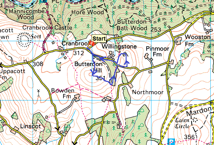
Route – Butterdon Hill –  Pin Tor –  Willingstone Rock – Castle Drogo parking – short drive to Uppacott Down – Uppacott DownCranbrook Castle
Distance –  1 mile    Start time – 11.30am     Time taken –  30 mins  Highest Point – Butterdon Hill 351metres
Weather – A bit grey, misty, some mizzle
© Crown copyright 2016 Ordnance Survey FL 2016 SF
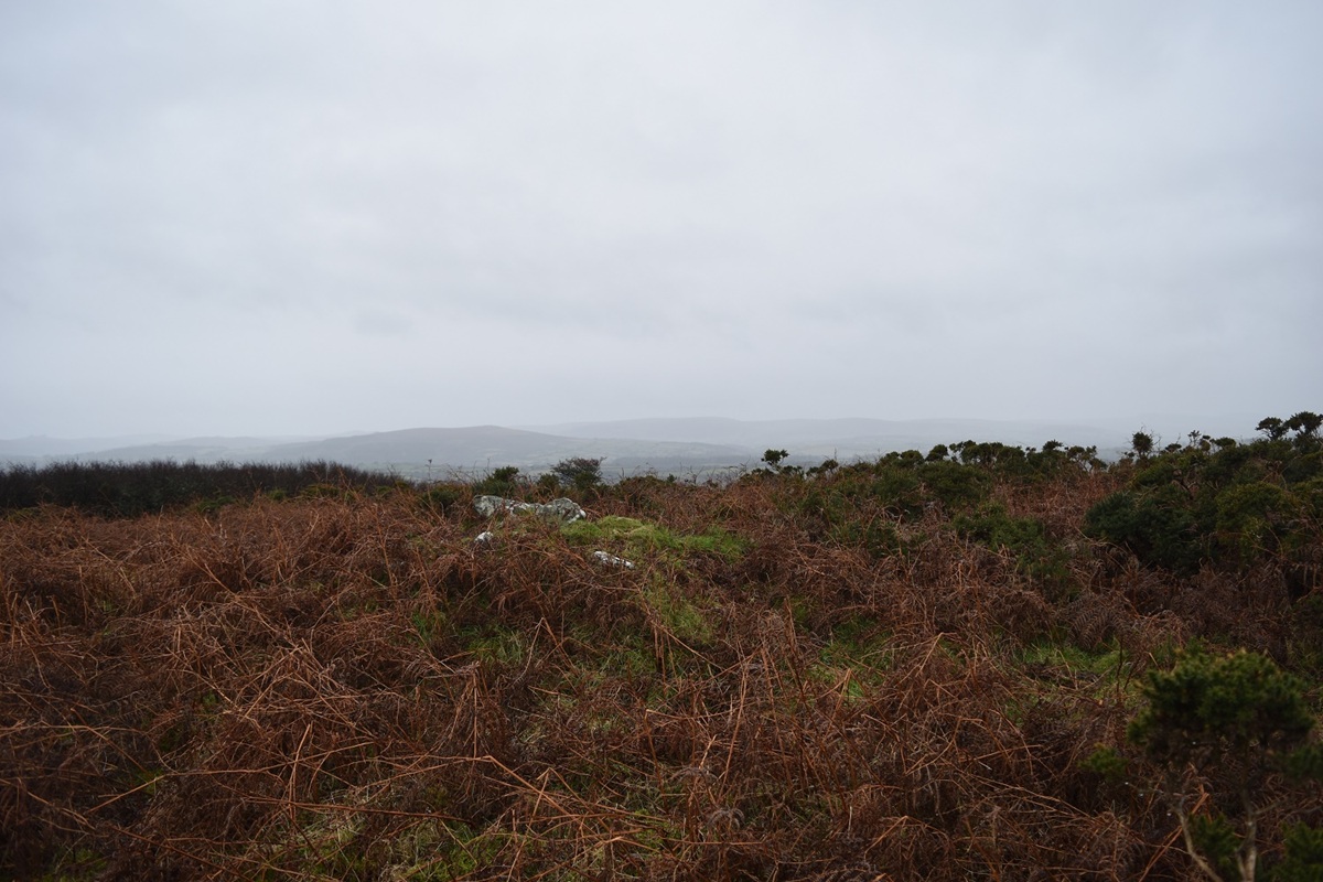
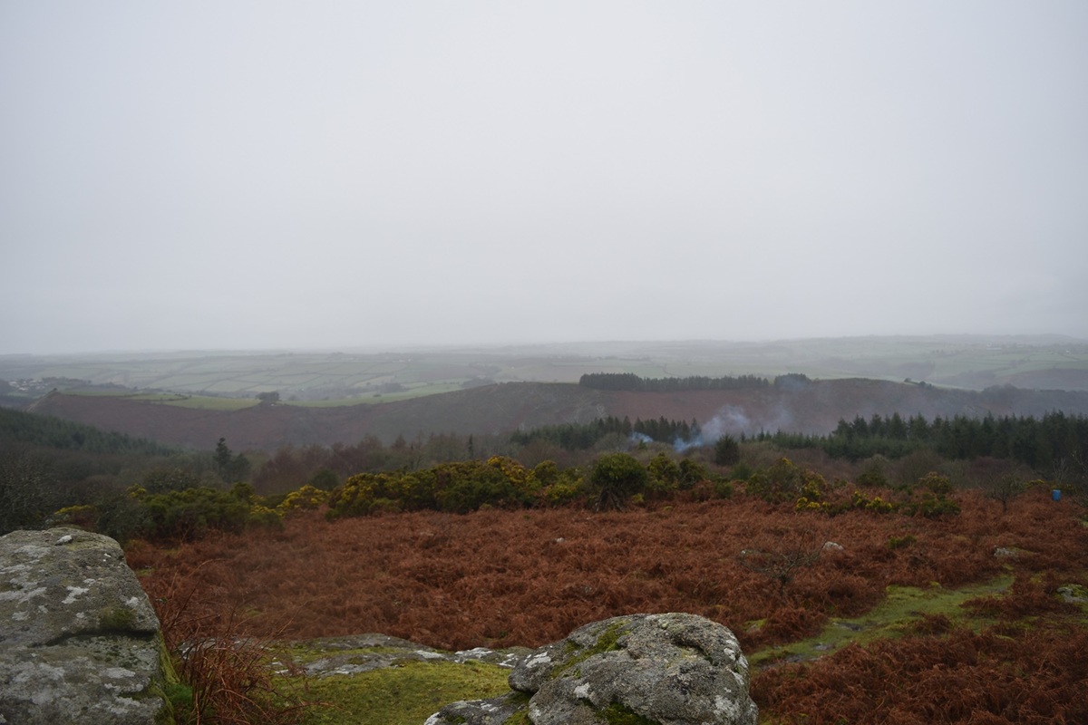
Butterdon Hill summit with a misty view to Easdon Tor
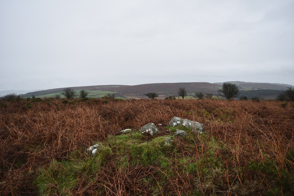
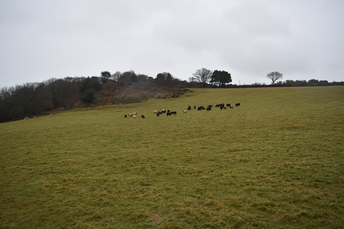
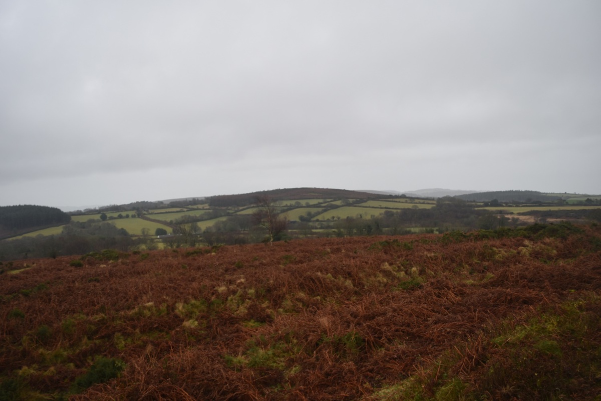
Mardon Down from Butterdon Hill
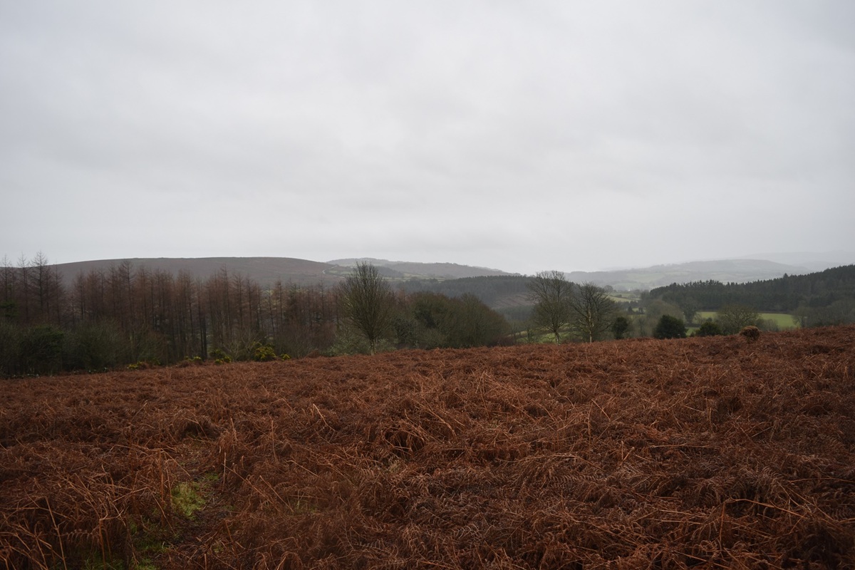
I’m heading down for the edge of the trees, having disturbed three deer already!!
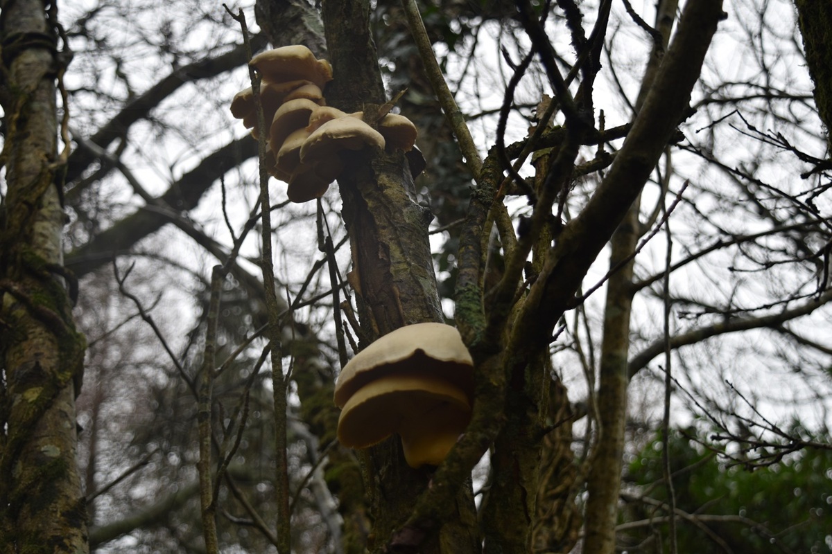
Fungi
Pin Tor is next up in the trees over there
Willingstone Rock from Pin Tor
North from Pin Tor
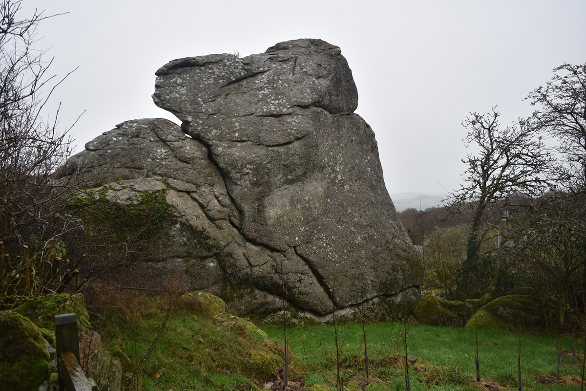
Next I dropped to the road to walk past Willingstone Rock
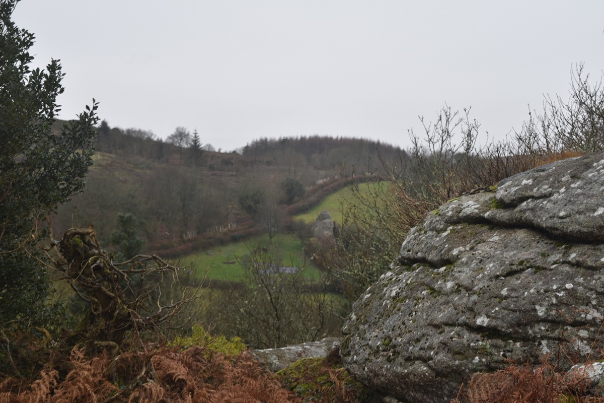
Balancing on a bank I get this view over Willingstone Rock to Pin Tor
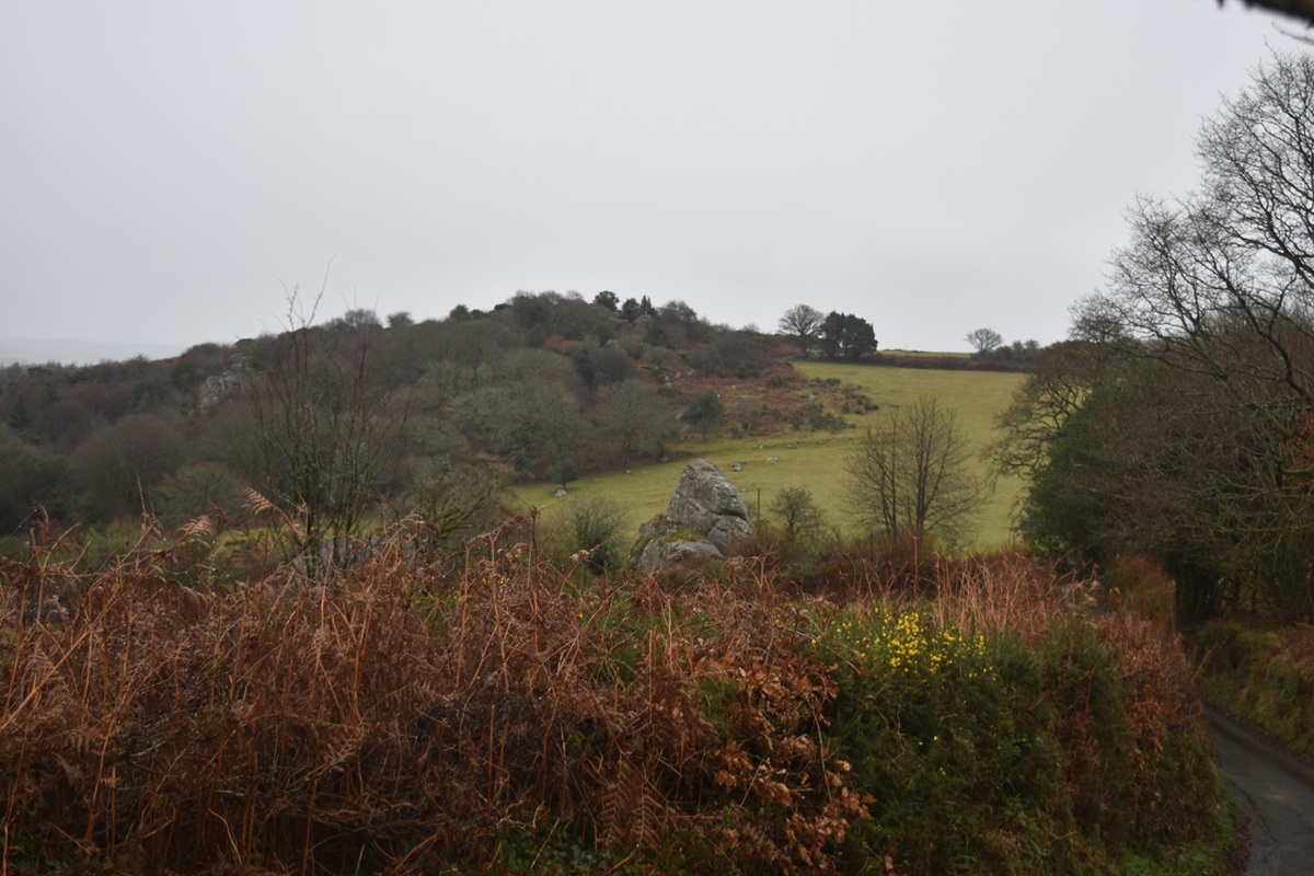
A short drive brings me here to Uppacott Down, looking back at Butterdon Hill
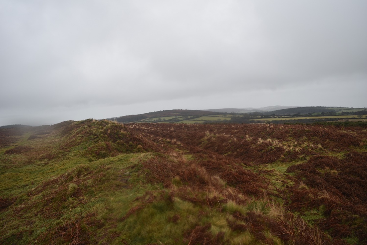
This Iron age hillfort dates from 0-500BC and has ramparts and a ditch, here to the right

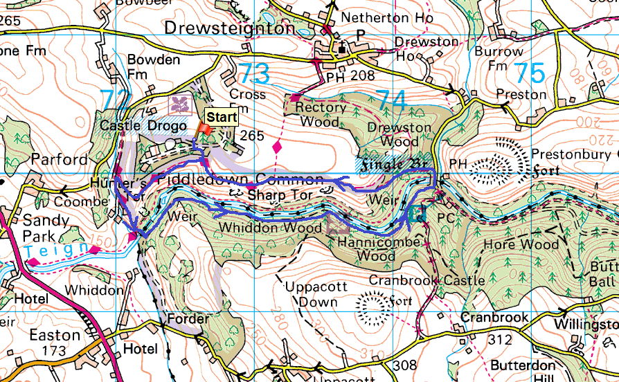
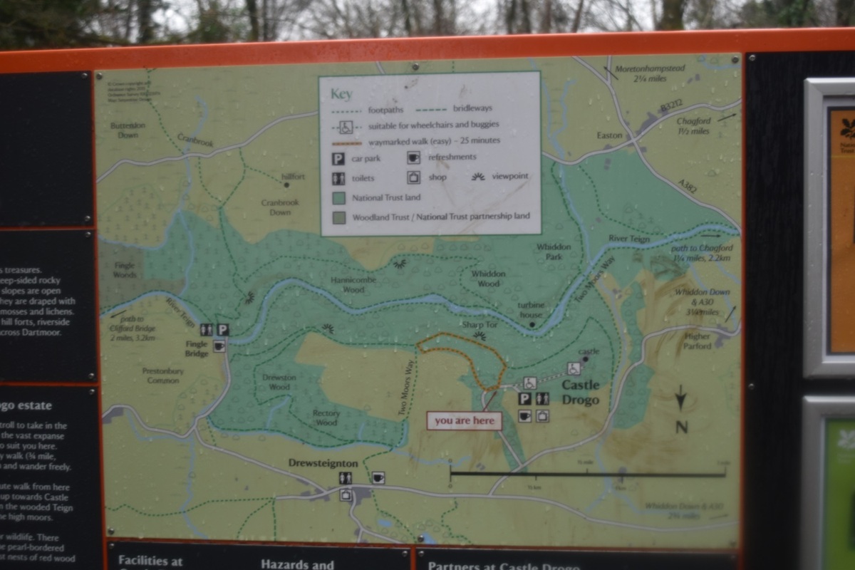
The second walk was the classic walk from Castle Drogo, around to Fingle Bridge and back along the Hunters Path.

Start – Castle Drogo parking
Route – Hunters Path –  Hunters Tor –  Two Moors Way – Iron BridgeFingle Bridge – Hunters Path – Sharp Tor – Castle Drogo parking
Distance –  4 miles    Start time – 1.00pm     Time taken –  2 hrs  Highest Point – Sharp Tor 222metres
Weather – A bit grey, misty, some mizzle
© Crown copyright 2016 Ordnance Survey FL 2016 SF
The path is well sign and will be popular in the summer, not so much on this misty day
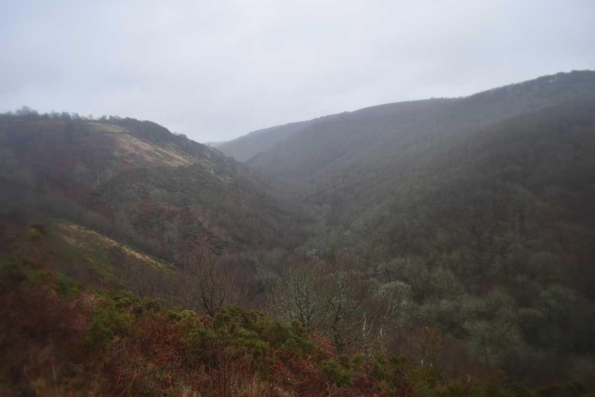
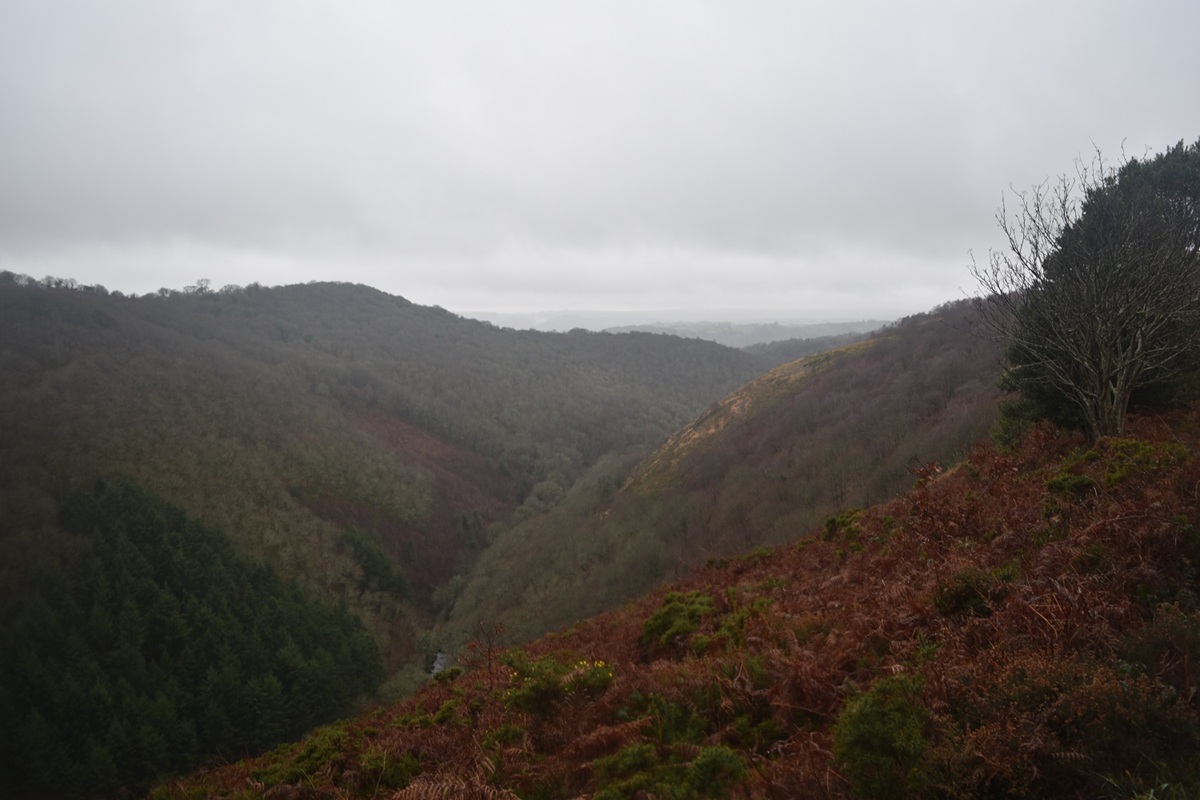
The Teign valley as I start out on the Hunters Path, Sharp Tor to the left
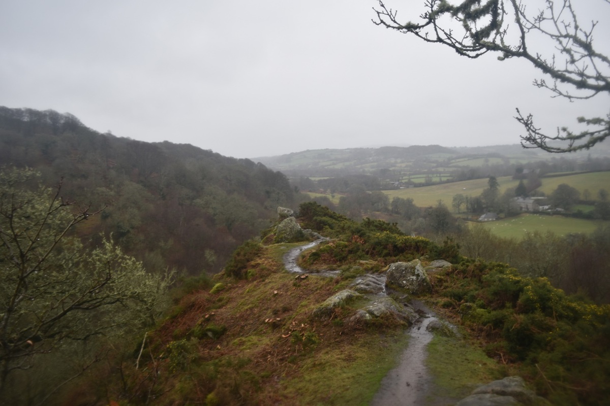
First up however is Hunters Tor which kinda sticks out over the valley
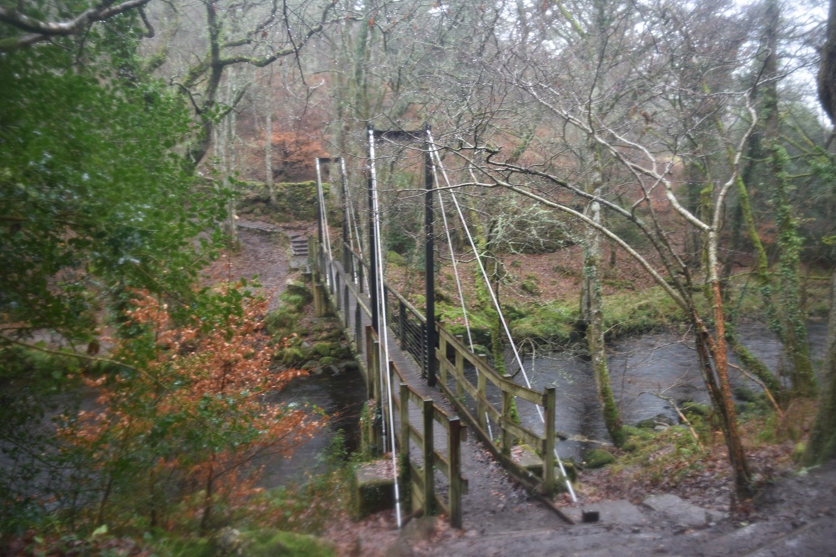
I followed the Two Moors way path down to Iron Bridge
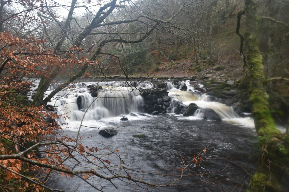
The weir just downstream from Iron Bridge
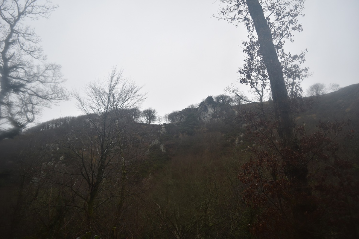
Sharp Tor is up there and so will I be, a bit later
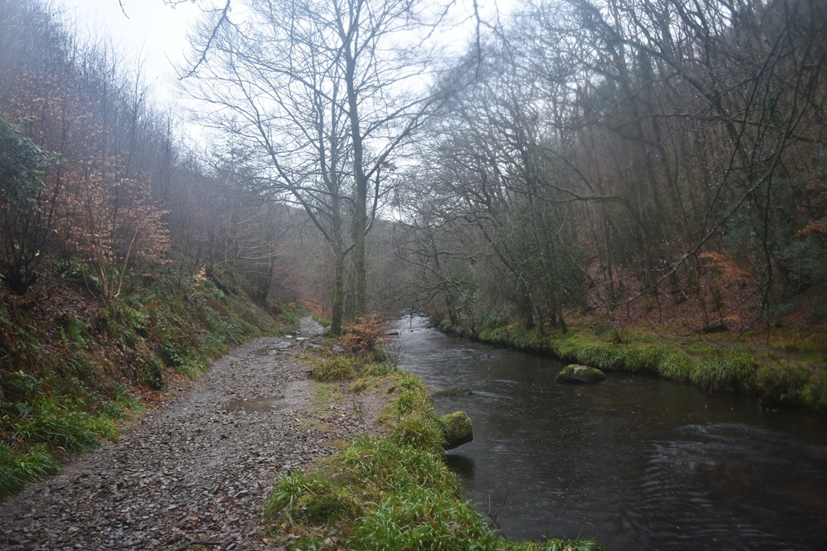
The good path and the River Teign
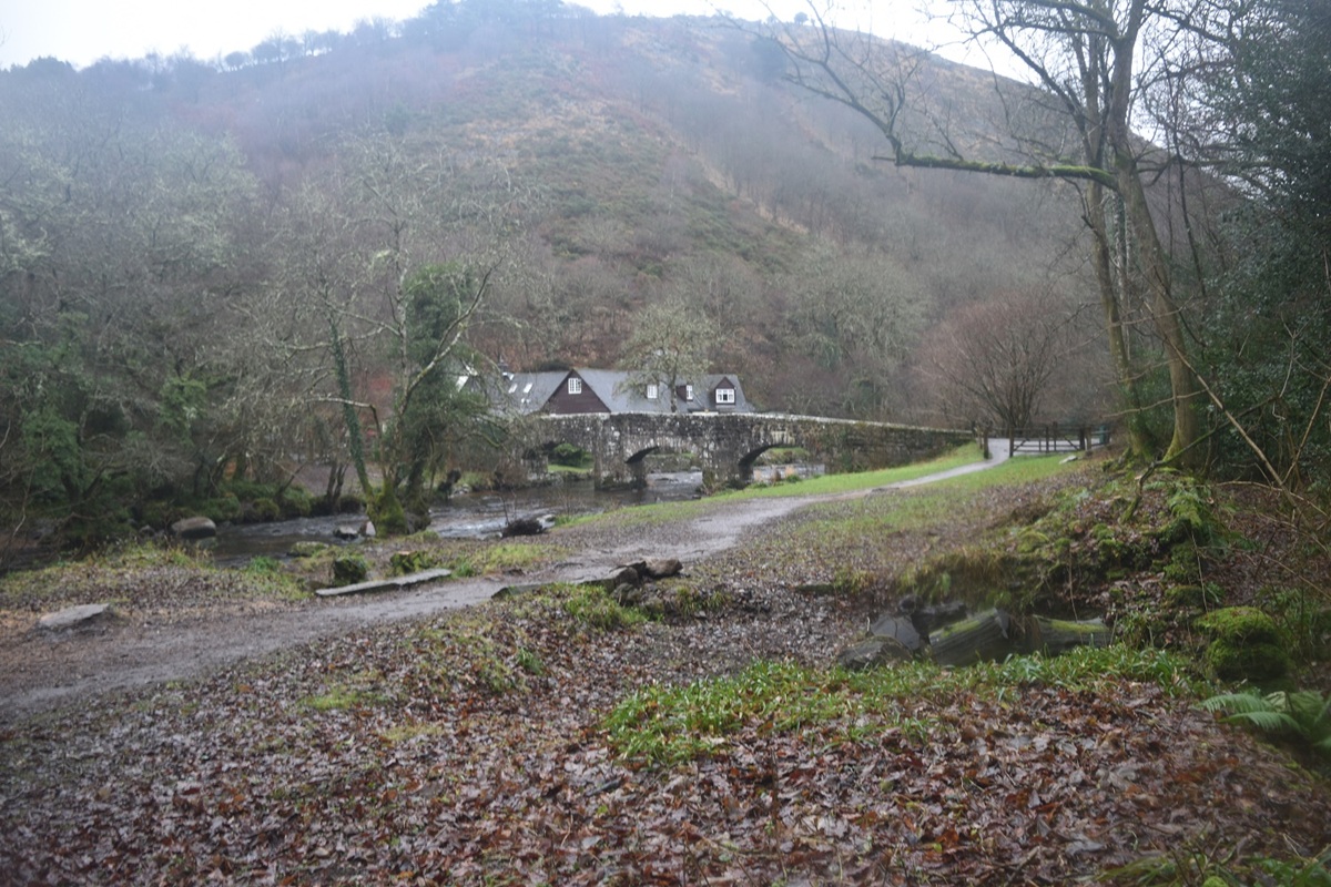
Fingle Bridge and the pub behind
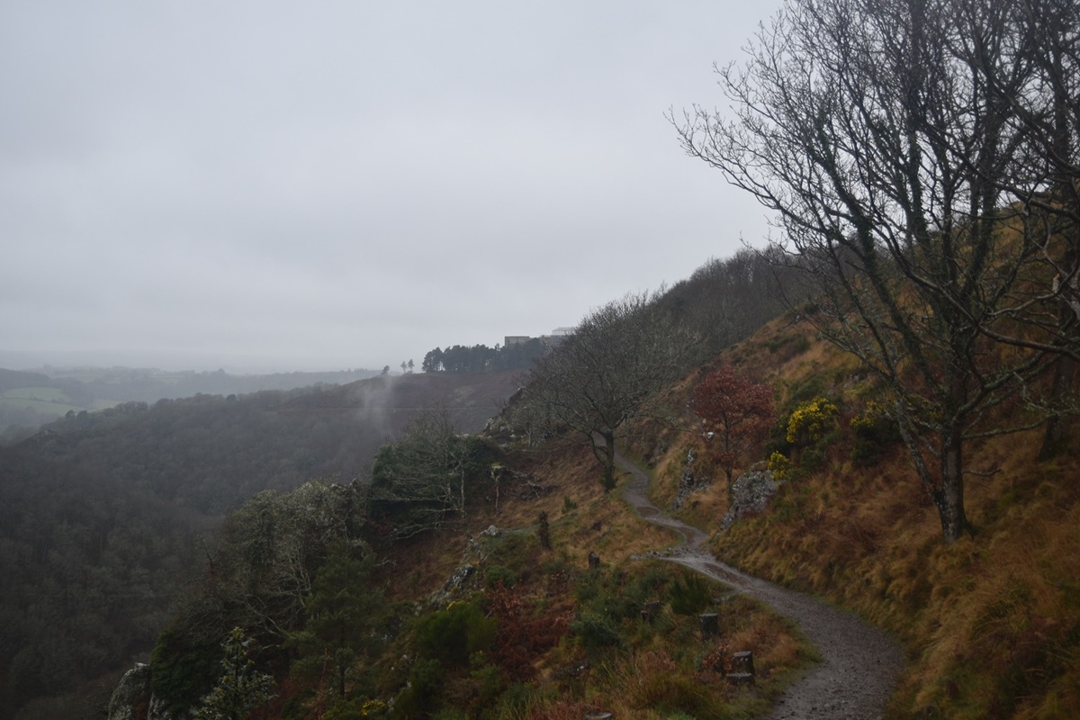
Having huffed and puffed up the Hunters Path from Fingle Bridge I reach an open section again
Sharp Tor is coming up
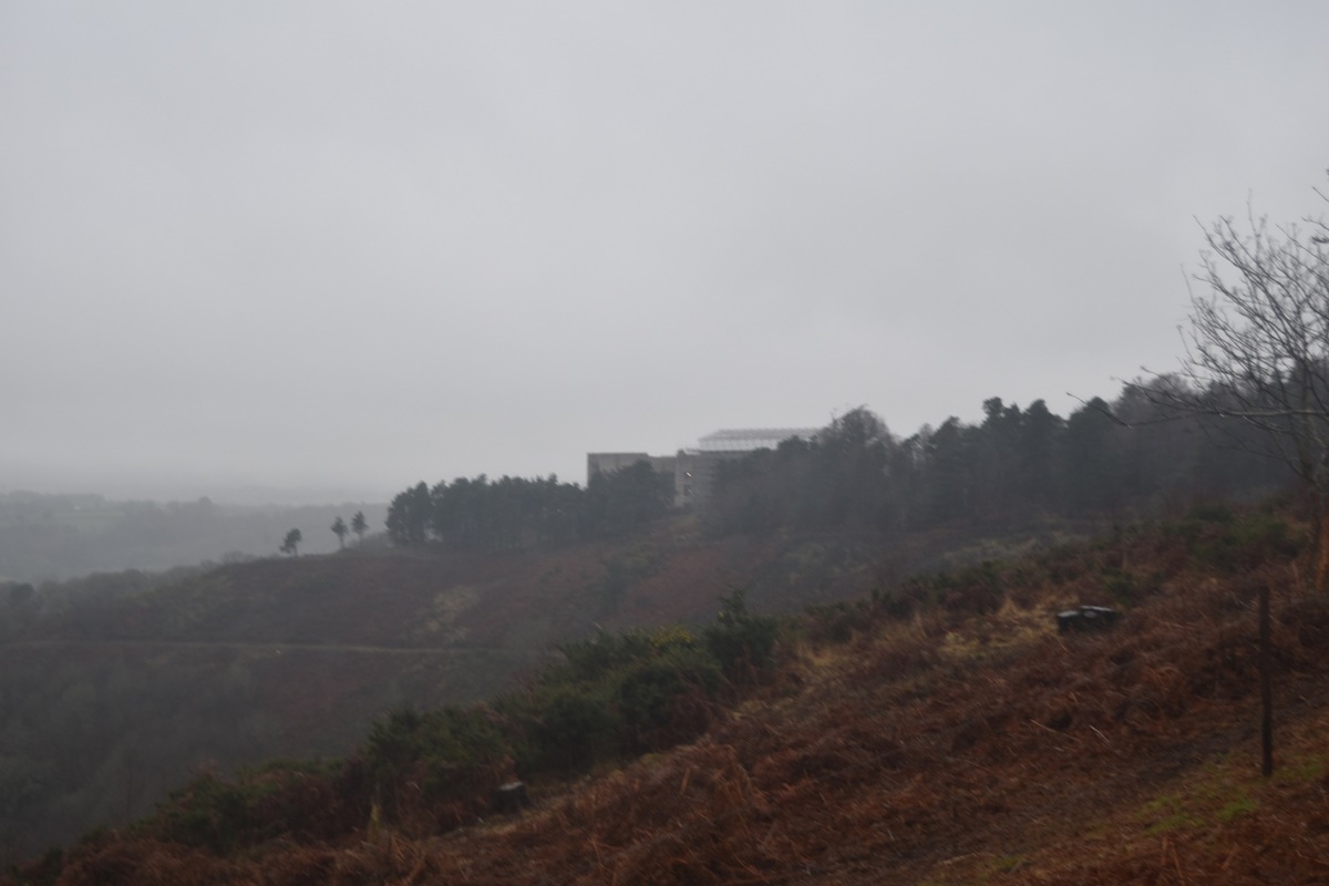
Castle Drogo, from here it was 10 mins to the car
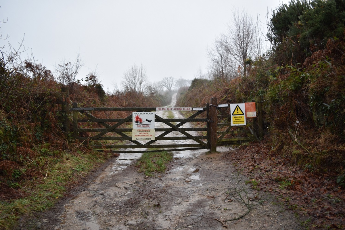
A short drive from Castle Drogo took me to Gidleigh, here I enter the permissive path into the forestry area
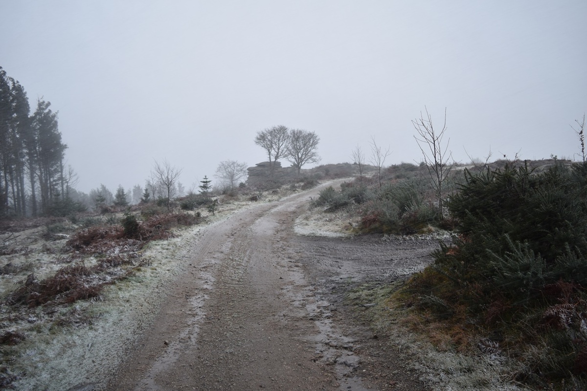
It started snowing as I left Castle Drogo, its starting to settle here, Gidleigh Tor ahead
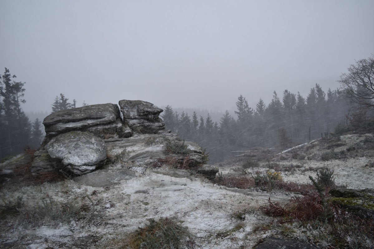
Snowy Gidleigh Tor, Kes Tor would normally be seen over the trees ahead
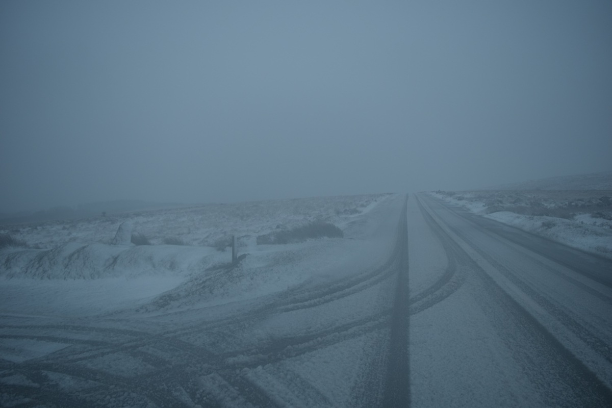
I thought I’d look at the weather over Dartmoor so drove back across to Princetown, I was driving carefully across here. Here at the Warren House pub I was in a white out, or is it grey out!!
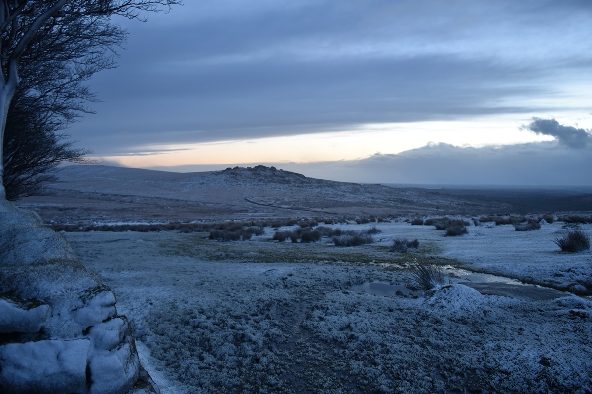
I drove to the car park below Great Mis Tor and got some lovely light over Kings Tor, with a snowy scene to finish with

2 thoughts on “The hills and tors around Castle Drogo

Leave a comment

This site uses Akismet to reduce spam. Learn how your comment data is processed.