This walk was an attempt to tick off a number of Dartmoor 365 squares as far away from home as it gets on Darrtmoor for me. The 3 squares of Blackaller Quarry, Drewsteignton and Greystone are full Dartmoor 365 squares with Crockenwell and Cheriton Bishop being a couple of bonus squares. I also managed to pull over on the drive home and collect another couple of squares that are easier done as a drive by, particularly as I’ve probably driven past Wray Barton around a dozen times now! Castle Drogo seemed like an obvious place to park and start, however if I was to do it again I would start in Drewsteignton (decent sized car park there and signposted in the village) mainly as the pub is fantastic and the walk back to Castle Drogo involved a steep climb which wasn’t great after a pint. Should have finished there instead. The walk involves lots of fantastic green rolling countryside and this is one that could be altered in many different ways, I’ve already had a look and I would probably omit Blackaller Quarry and Cheriton Bishop, heading out from Drewsteignton to Crockenwell before turning south to Coombe Hall and then possible Clifford or Fingle Bridge, or maybe both and on through Whiddon Wood and up to Castle Drogo. So many options here when you look into it, and something I probably wouldn’t look at if it hadn’t been for the Dartmoor 365 book. On top of that this walk had wildlife galore, a herd of deer, the usual hedgerow birds, buzzards and two barn owls flying out of a metal barn near Coombe Hall, I was so stunned by the latter of these that I just stood there open mouthed, saying the words barn owls over and over, as they flew away into the distance and missed getting a photo of them.
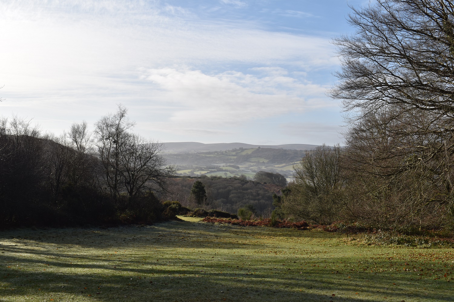
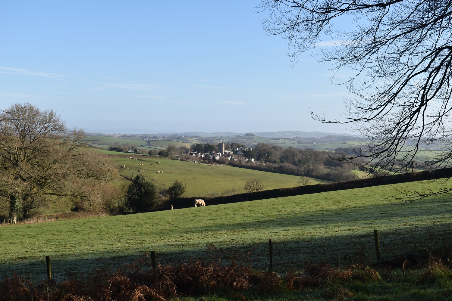
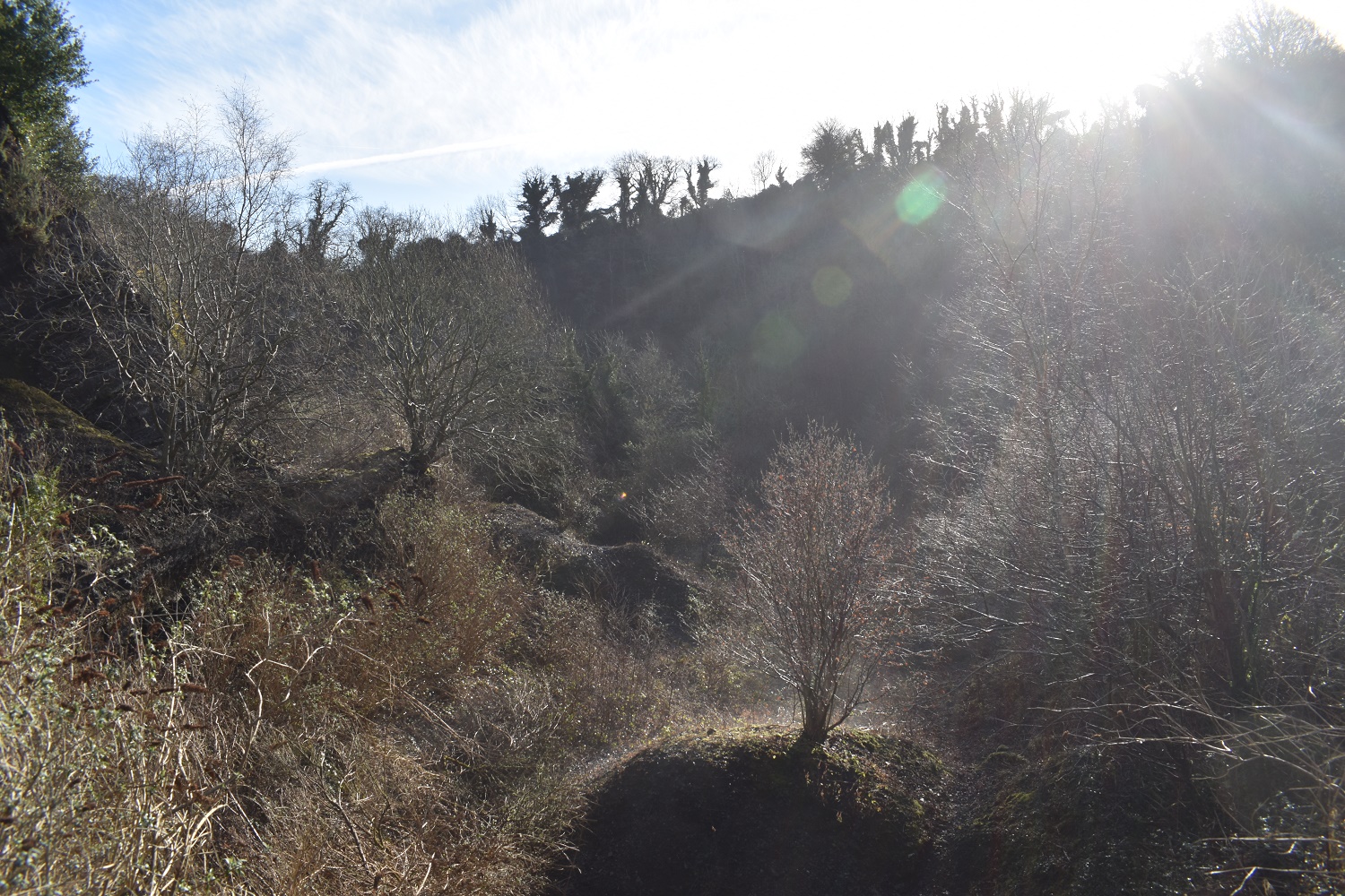
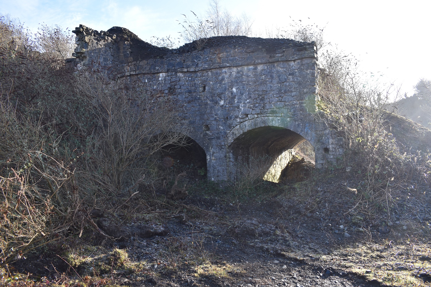
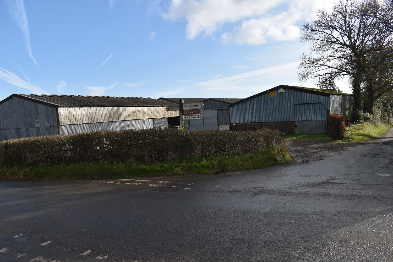
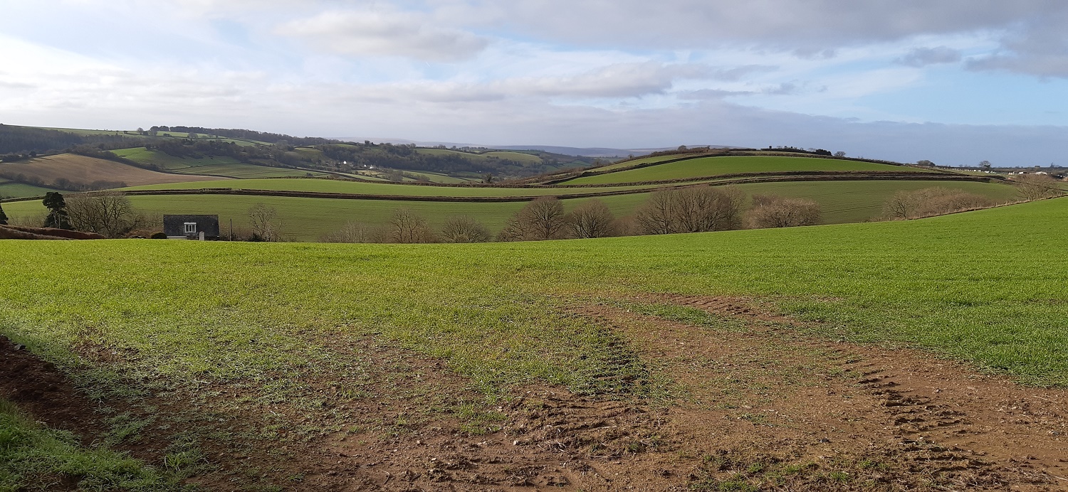
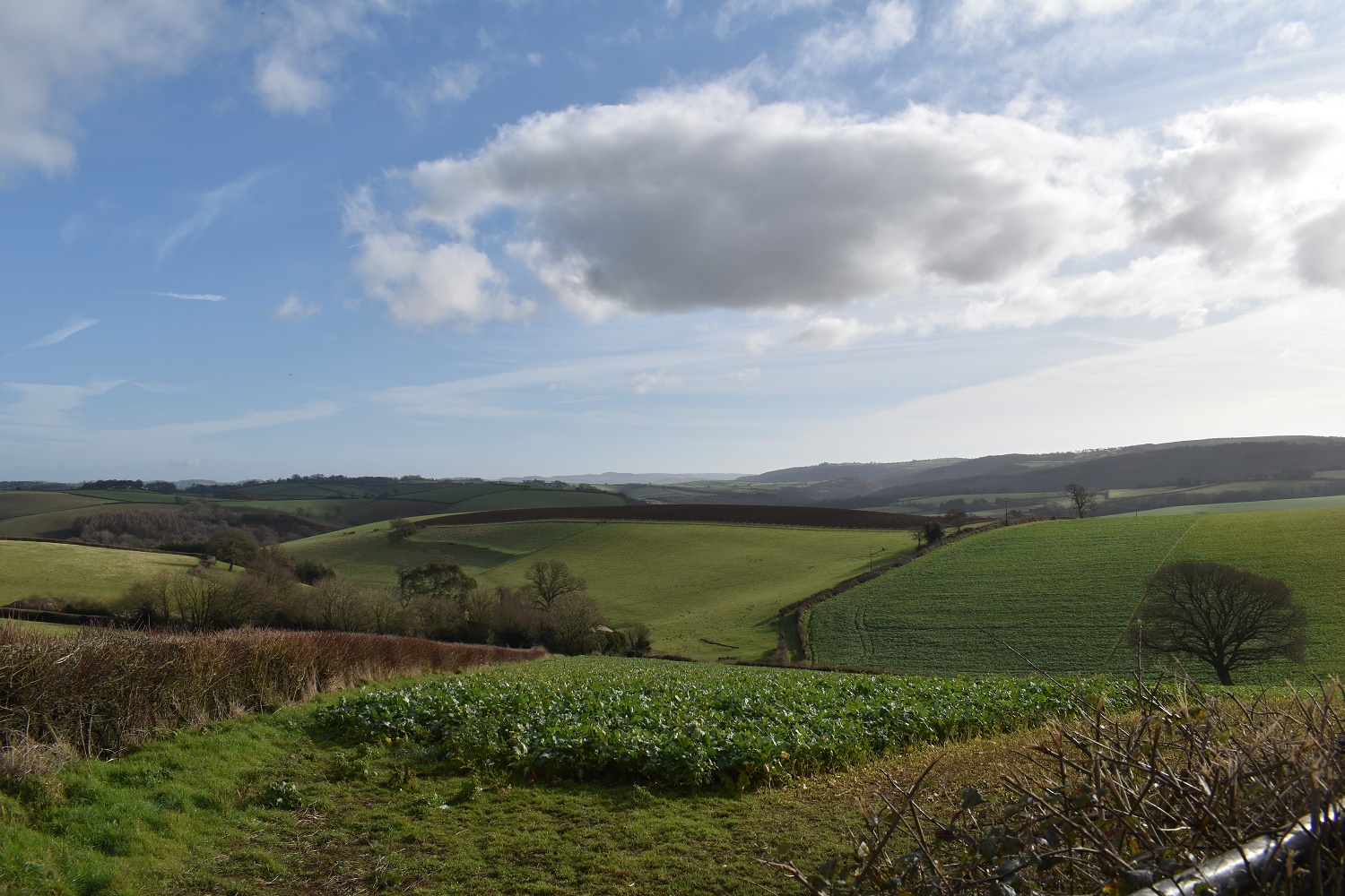
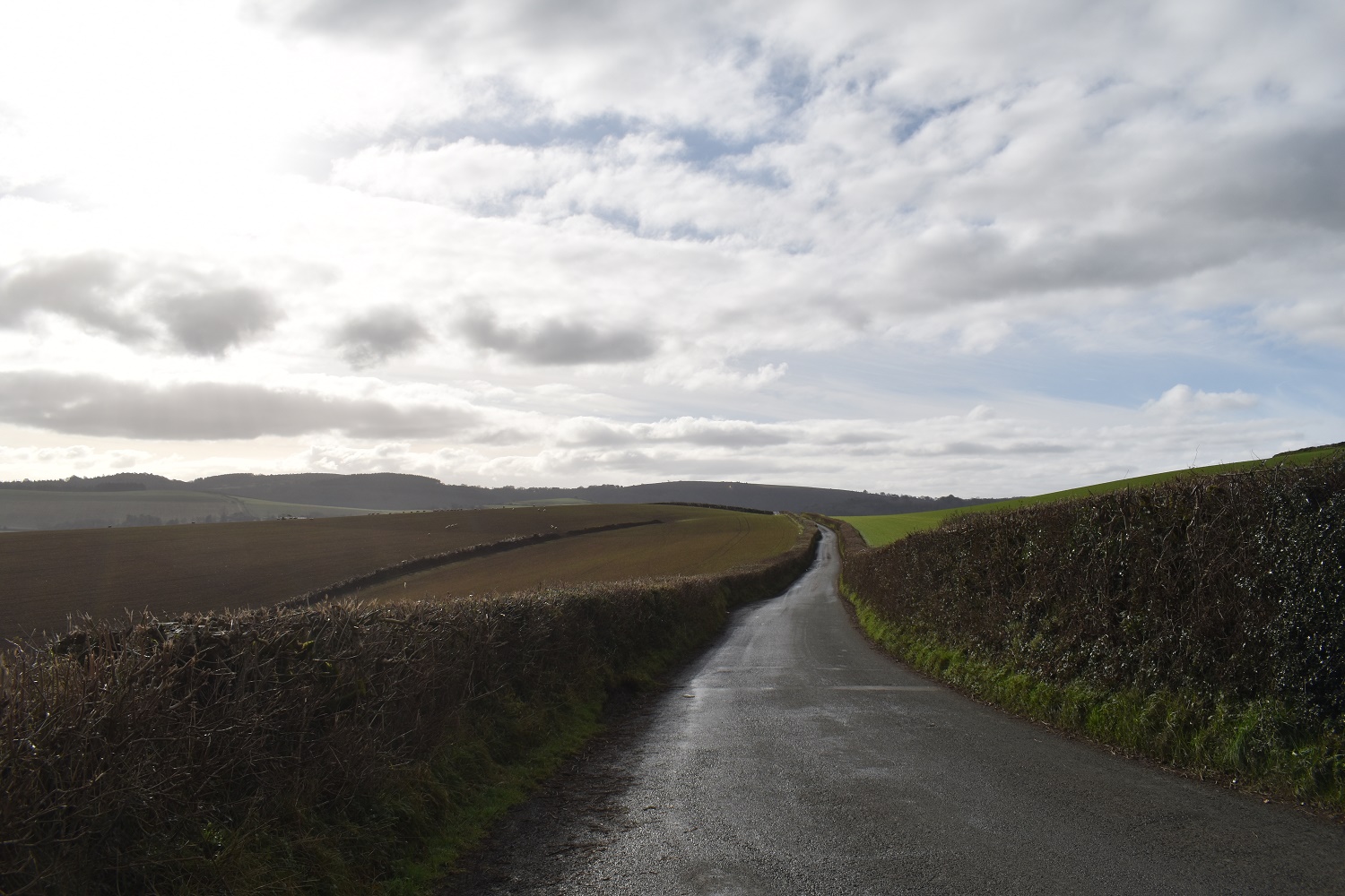
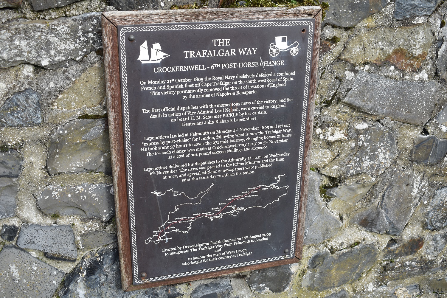
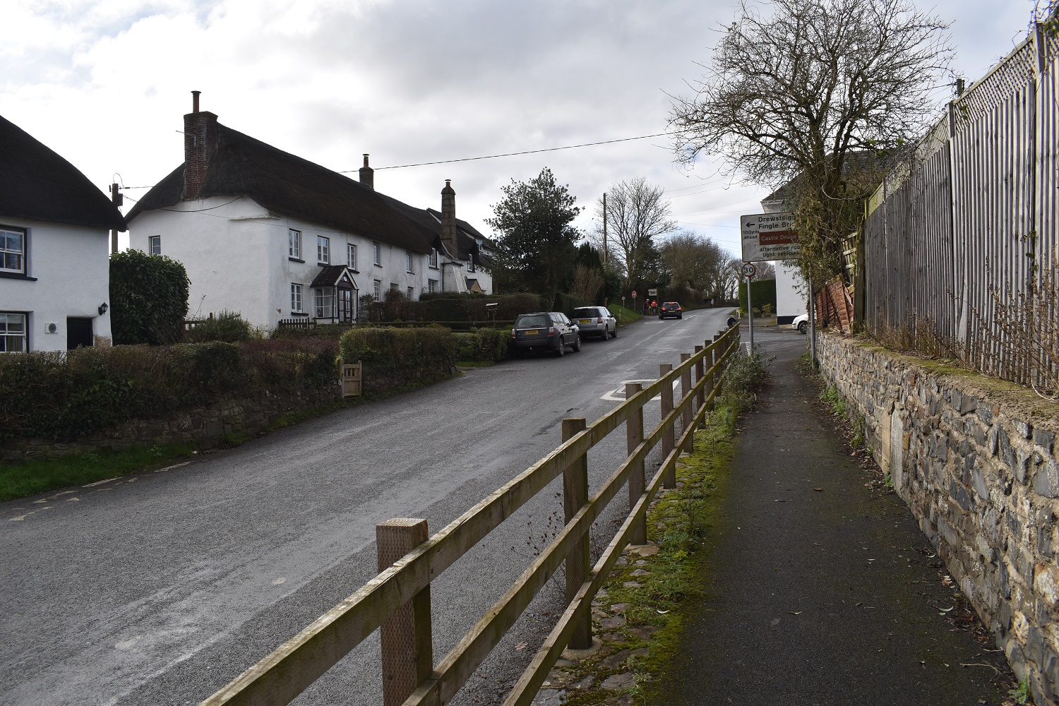
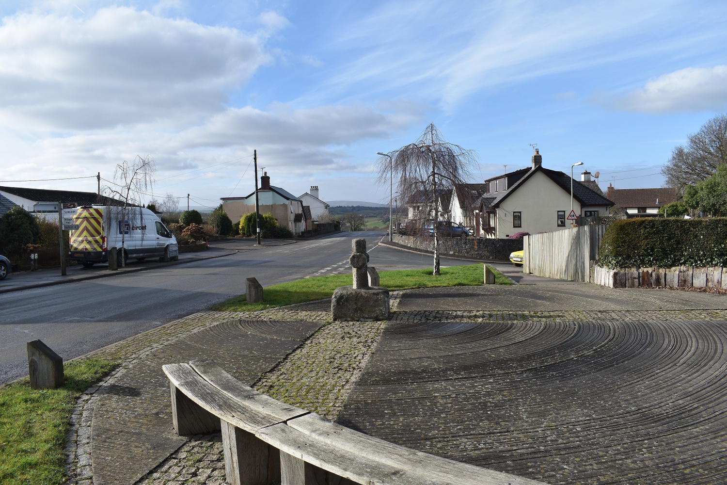
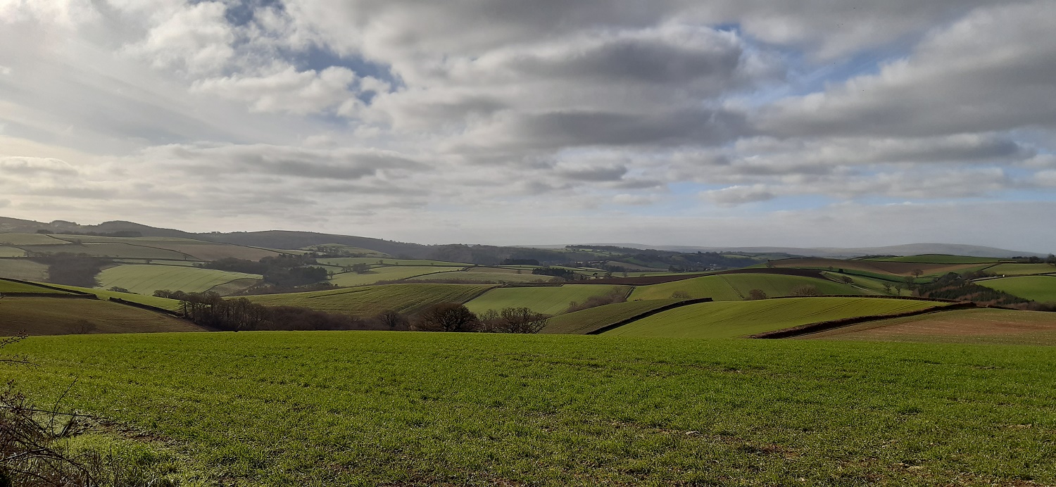
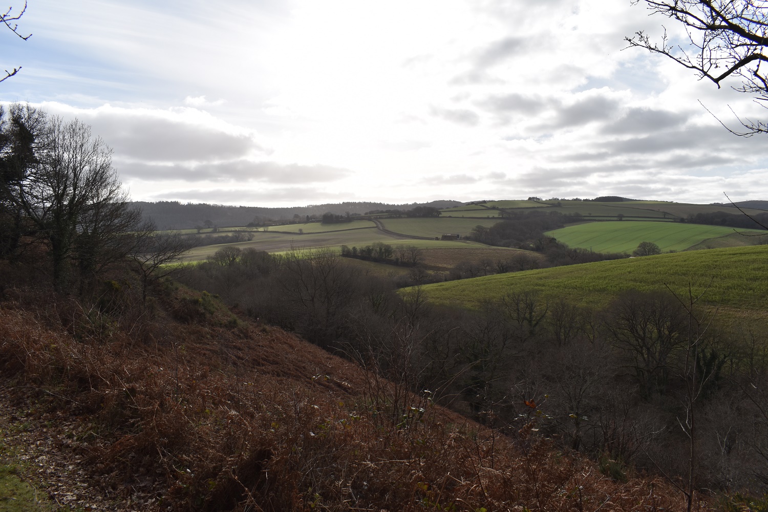
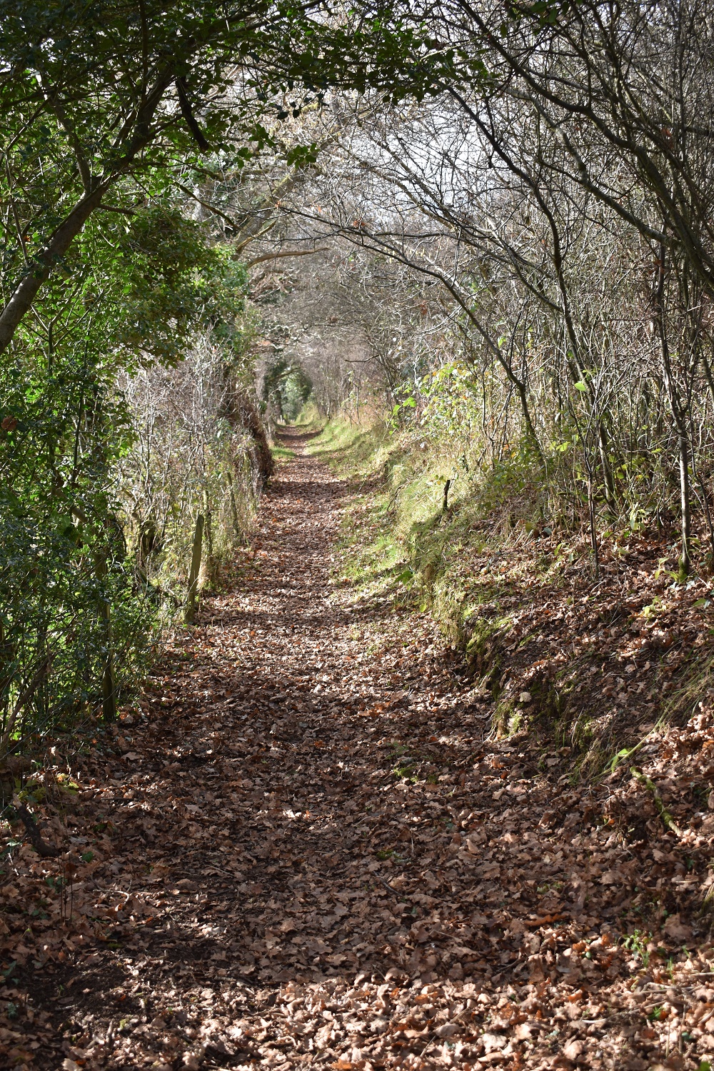
Setting out along the driveway into Castle Drogo I get this opening across to the eastern side of Dartmoor with Hameldown and Shipley Tor in view. Frost on the ground in the shady areasDrewsteignton looking lovely from hereI was trying to get out of the direct sunlight to take a picture of the driveway entrance to Castle Drogo, this is the best I could doI circled around the Blackaller quarry, following the paths, in the low sun it wasn’t easy to take a pic from any angle. It was originally used as a limestone quarry in the 18th/19th centuries but now supplies the odd bit of road aggregate from a different part if the quarry, the old section is clearly overgrown now The old lime kilnsI think I’d lost the actual path and ended up at the entrance to the new part of the quarry, luckily it was Sunday and no one was here, I hopped the gate on to the road and continued the way I planned into DrewsteigntonMy exit from the quarry was up from the road on my right here, the is a path that was was trying to follow which comes out further down the road on the right than my exit. Looking at these two signs there is a path that seems to loop around the pool which is the flooded old quarry, I followed lots of it on the other side (south west side) and this part shown may well give you an other path around the north eastern sideDrewsteignton church, the bells were ringing here, a bit like last weeks walk through Stoke FlemingI followed a path out from Drewsteignton to this glorious view of blue skies and rolling hills, and to my left was………..these lovely Roe Deer, I’d circled around them here and they were all aware of my presence as they were staring right at meFrosty fields into the sun as I head for GreystoneGreystone Cross and the farm behindMore of those rolling hills as I head to CrockenwellLooking towards the area holding Clifford Bridge and the edge of DartmoorBit of cloud starting to build however it wouldn’t take over the sky and sunshine was in order all the way around todayWasn’t aware of this route, as it says 271 miles on horseback (21 of them) in 37 hours!!Crockenwell villageThe walk from Crockenwell to Cheriton Bishop was along a busy road, however I made it safely and sat here for a break and looked back over the restored cross to a distant Cosdon BeaconRolling hills and Cosdon Beacon at the back as I head for Eggbeer farmsIt was lovely walking along hereAt the Lower Eggbeer farm I took this bridle path opposite that heads towards Coombe HallMore lovely scenery, the path drops into the trees and then crosses at the bottom of that green field on the right. In between is a stream with a bridge to cross and then a nice wooded pathI’ve come from Lower Eggbeer and I’m heading right here to Coombe Hall
A lovely path to Coombe Hall, at the end of this path don’t take the right hand option as that will take you up to Crockenwell again, instead cross a stream and head back on yourself for a short section then right with Coombe Hall on your right behind a hedge
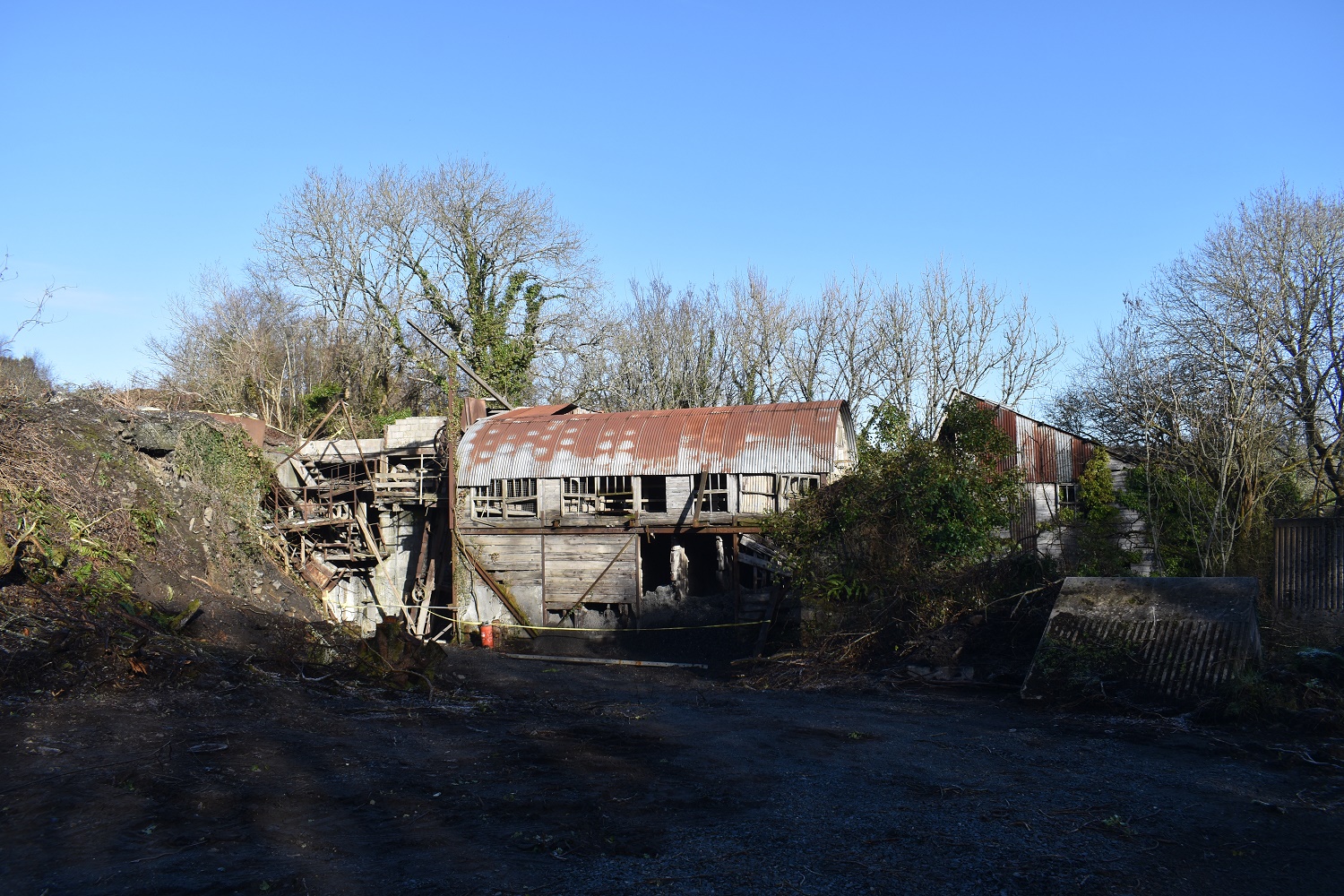
The white building is Coombe Hall as I look back, down there next to this tarmac path is a red metal barn which had two beautiful barn owls in, or at least they were in there until I got about 10 metres from the barn, and they then flew out the front and away. I stood there mouth open cursing my lack of activity with a camera and marvelling at the size of their wingspan
Apparently it is forbidden to walk on the lawns as I head into Burrow farm!
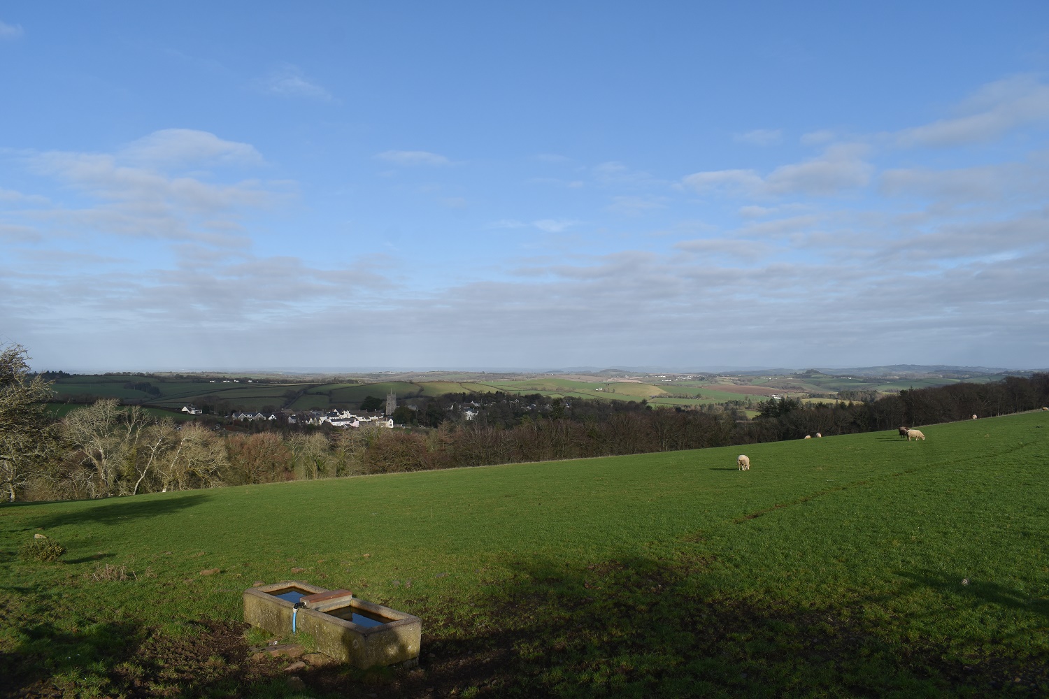
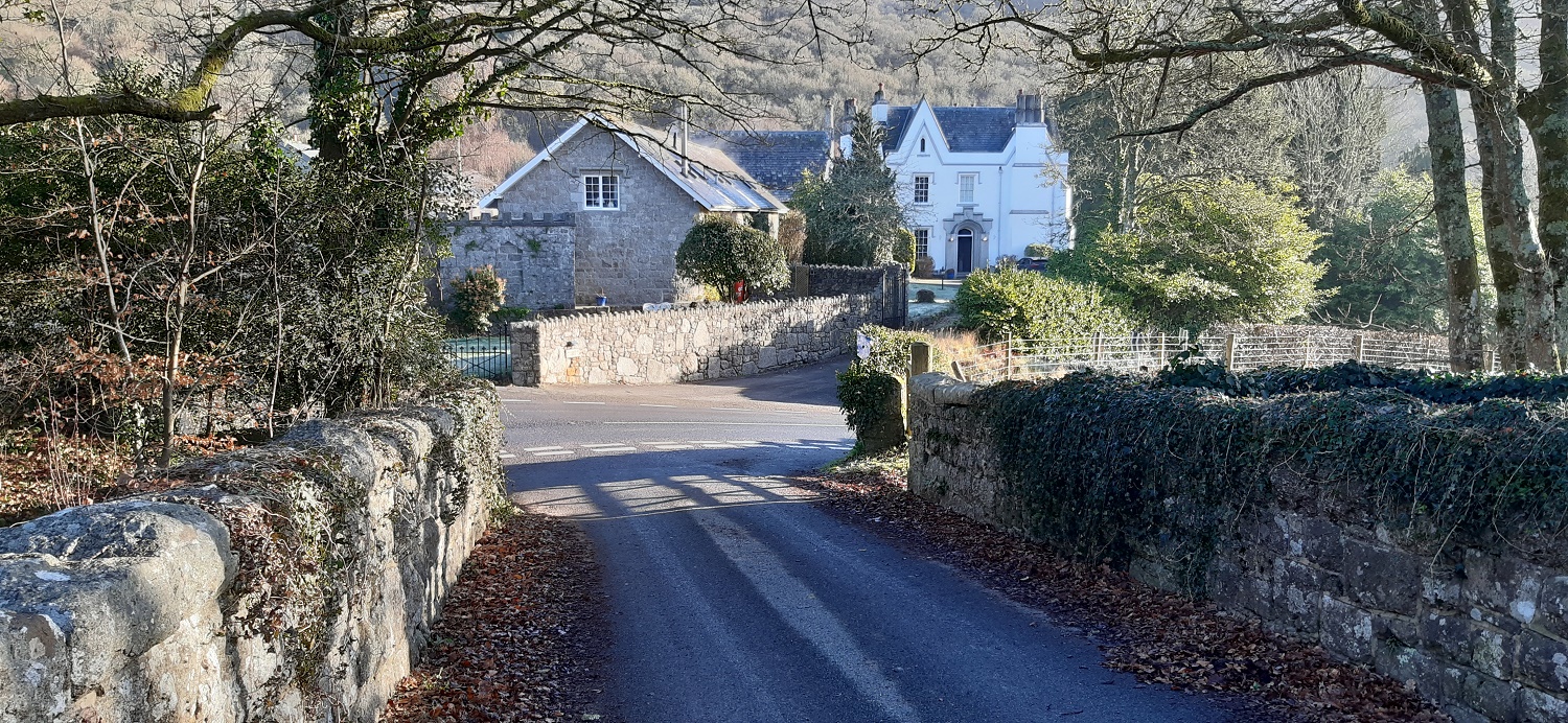
I was carrying a couple of quid so was ok if I had left the gate open, which of course I didn’tThis is obviously a placed boulder by the farm, however it does sit on top of a rounded lump of ground which has some protruding rock at its rear, a bit like an emerging tor. Maybe in another 10,000 years it might be out enough to make my list! I headed down and to the right here and followed a path into the trees below which was exceptionally muddy, before rising up the other side and into Drewsteignton along the same path as my outward journey, again I saw my herd of deer but they had moved to a field which is above the boulder on this photoDrewsteignton, the church and pub are close together, there was a closed restaurant behind me and a shop/post office. A perfect village and a decent pint in the pub.That’s Drewsteignton over there and I was regretting the pint after a drop down and steep climb up to this point, which puts me back at the highest point of the walk, I should have looked better at the map and paid attention to the contours! Should have started and finished in the village. To get here I’d followed the path through Rectory Wood which is part of the Two Moors WayThis is the Hunters path out of Castle Drogo which traverses high above the Teign gorge, the River Teign is at the bottom obviously and ahead is Sharp TorSharp Tor looking east along the gorgeCastle Drogo in view on the right here, this was a lovely way to finish the walk with a bit of drama. Dartmoor proper is in the distanceTo finish into the sun and a view to Meldon Hill, Hameldown and Kes Tor over on the right is the dimple sticking up. A perfect walk of good weather and some fine rolling hills to walk through.On the way back I drove through Drewston to tick off this squareThe apple crusher base which is in the 365 bookA bit nearer to home I passed Wray Barton for what seems like at least a dozen times and stopped. I took a look at the old railway line below the bridgeAnd also looked across at Wray Manor whilst standing on the bridge. After this I headed home after a good day of ticking off some outlying D365 squares.
The work has finished at Castle Drogo however the cafe, garden, shop, toilets are closed from 17th Jan until 18th Feb, and the castle for a further month after that until late March. The Hunters path is a good walk, and there’s a nice loop along the riverside path the other side of the river Teign for the return, a bridge at either end as well including Fingle Bridge and its pub


well remember when the old lady (Mrs Mudge?) ran the pub in Drew for years. Often used to walk that way when I was surveying the Two Moors Way,
LikeLiked by 1 person
She was landlady (or worked in the pub) for 75 years or something apparently. Finished at 99 years old. Lovely pub
LikeLiked by 1 person
I remember her well, good Devon accent,
LikeLiked by 1 person
Looks like a nice walk. Some great views. I like the random sign in French in the middle of nowhere 🤣.
LikeLiked by 1 person
That sign was a real surprise, not what I was expecting in deepest Devon!!
LikeLiked by 1 person
Like the look of the Hunters Path. Is Castle Drogo still closed for work. Really enjoyed my visit there several years back
LikeLiked by 1 person
The work has finished at Castle Drogo however the cafe, garden, shop, toilets are closed from 17th Jan until 18th Feb, and the castle for a further month after that until late March. The Hunters path is a good walk, and there’s a nice loop along the riverside path the other side of the river Teign for the return, a bridge at either end as well including Fingle Bridge and its pub
LikeLiked by 1 person