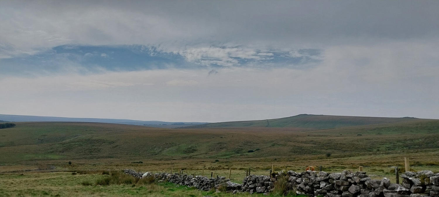
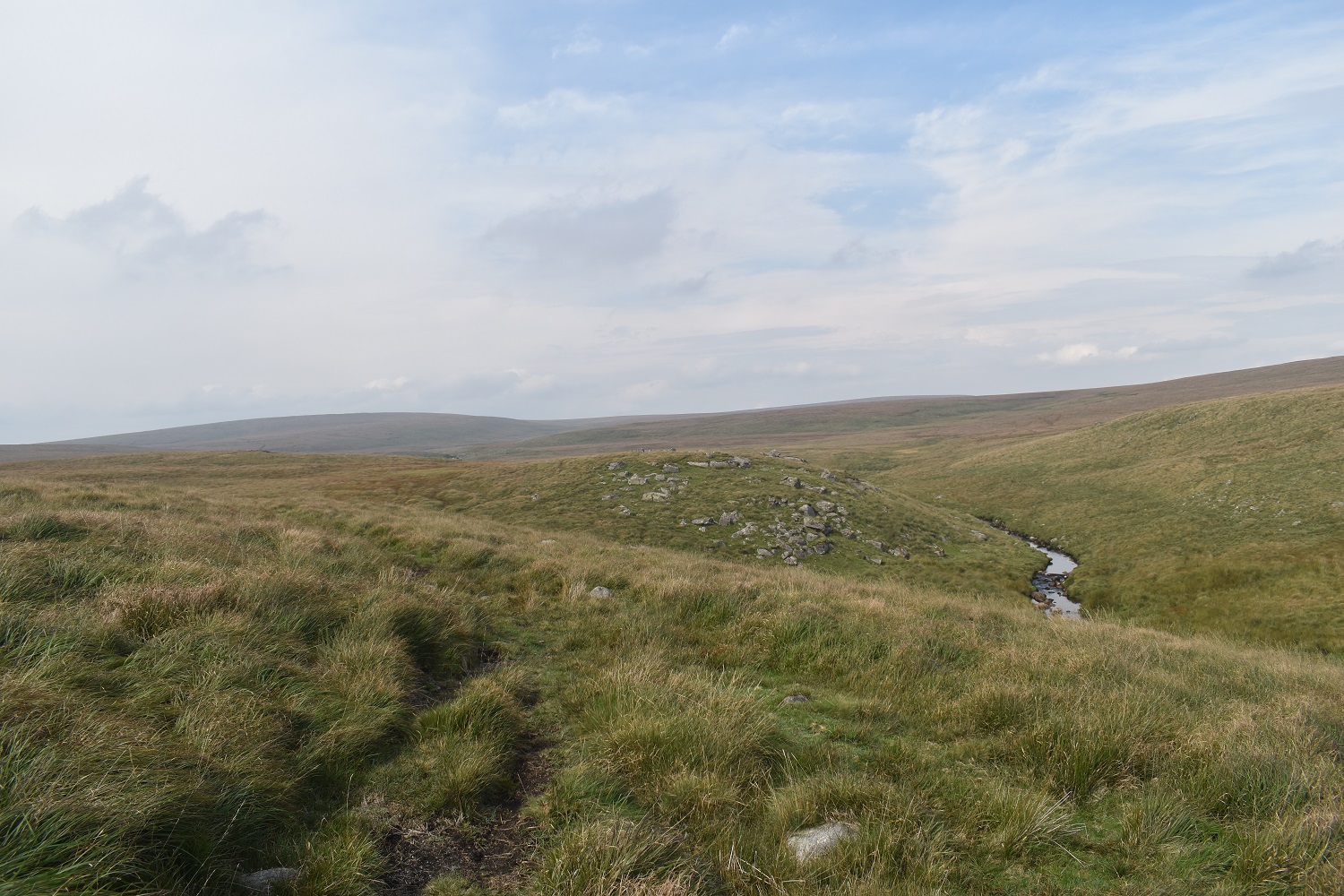
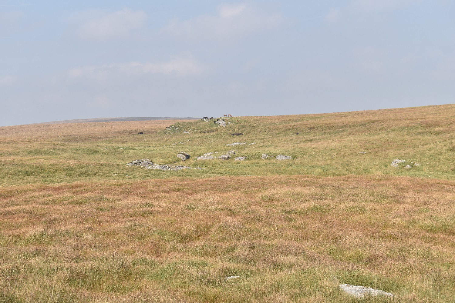
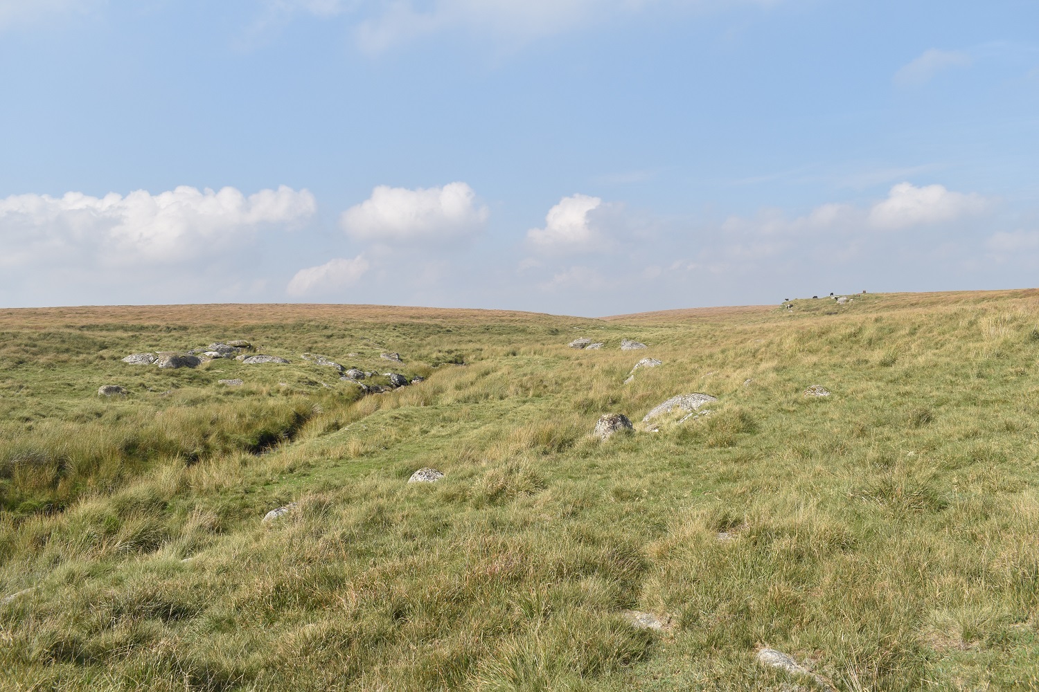
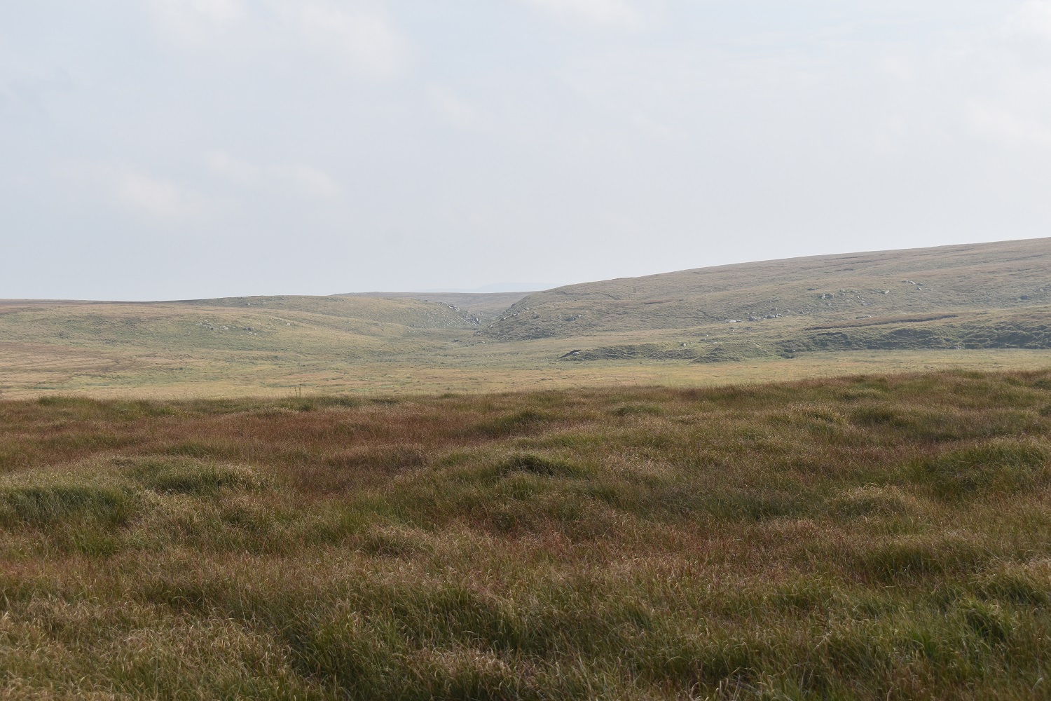
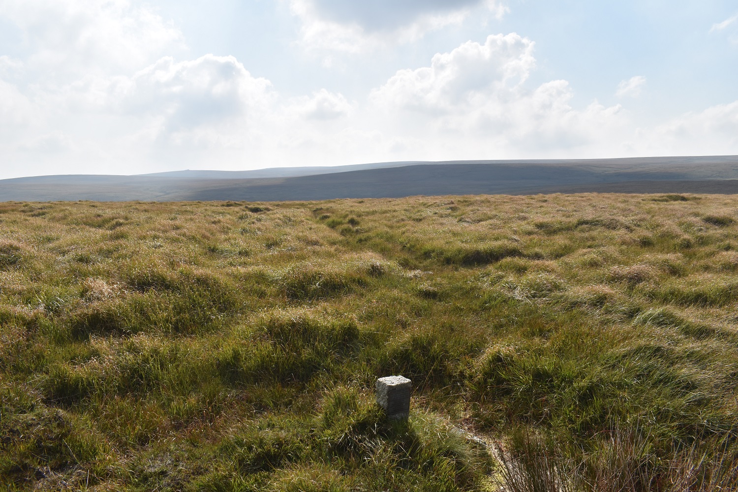
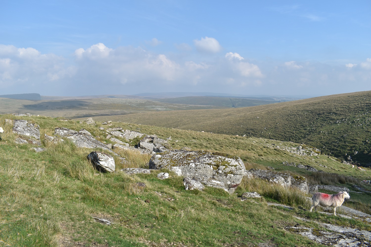
A year after we walked up to the East Dart Waterfall in some of the hottest weather I’ve walked in (remember the long hot summer of 2022), we again started out from Postbridge on a similar walk. We walked in the opposite direction this time, and headed out the back of the waterfall, through Sandy Hole Pass to some truly typically horrible Dartmoor areas. This was walk number 33 of my second round picking up squares H10, I9, I10, J10, J11 and K12. The parts from Flat Tor to Kit Rocks and then over Winneys Down is grubby walking, very little paths, tufty ankle twisting grass and boggy. Even after the very hot and dry week at the start of September it was still wet in lots of spots out here, but the main obstacle is the long tufty grass. The grass was mainly knee high making any paths or sheep tracks impossible to see and walk on, the worst of it was after Statts House as we looked to get back to the East Dart river, in hindsight, we should have headed to Sittaford Tor and then found a better path that leads off from there to the south. Still we enjoyed the parts around that, even with a tense moment near the Beehive Hut with lots of cows in our way, they eventually created a gap by the river which we scooted through, only to meet a young calf who saw sense and walked away from us without too much aggro. An area deep into the wettest parts of Dartmoor which has been ticked off for Linda, I’d say that Cranmere Pool/Black Hill and Green Hill/Fishlake Rocks are two more to negotiate but it is good to get this area done.
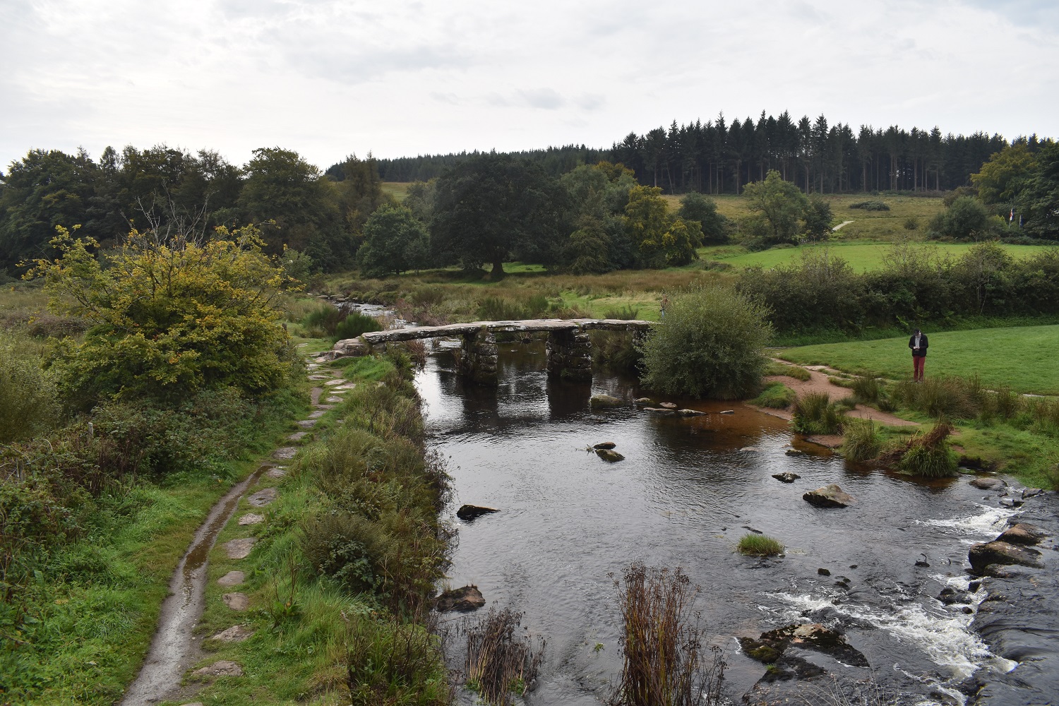
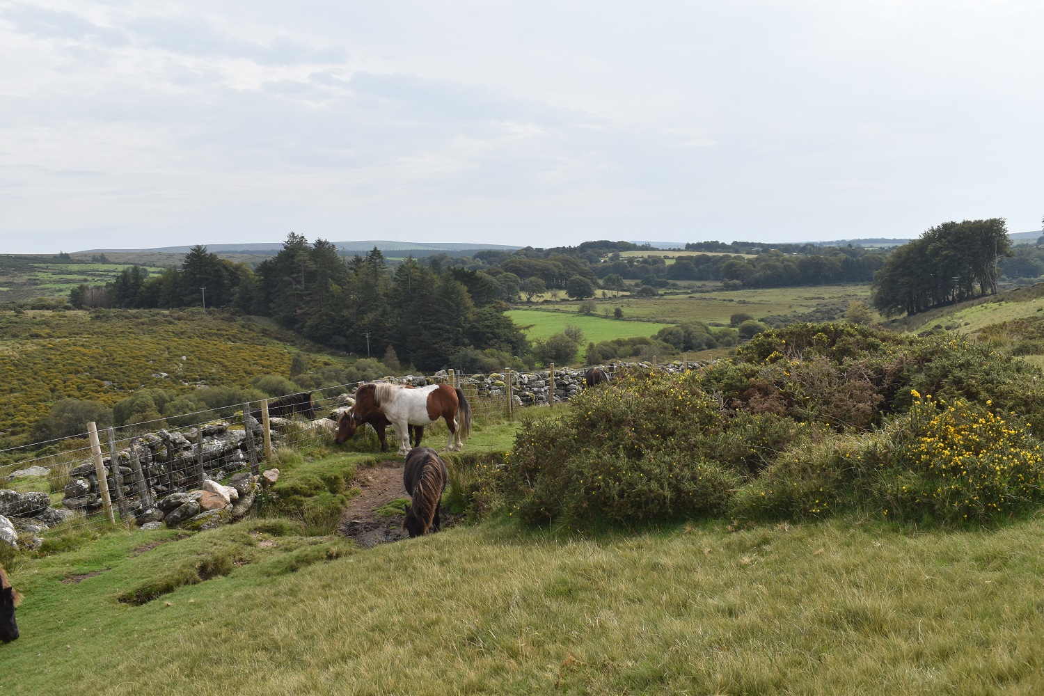
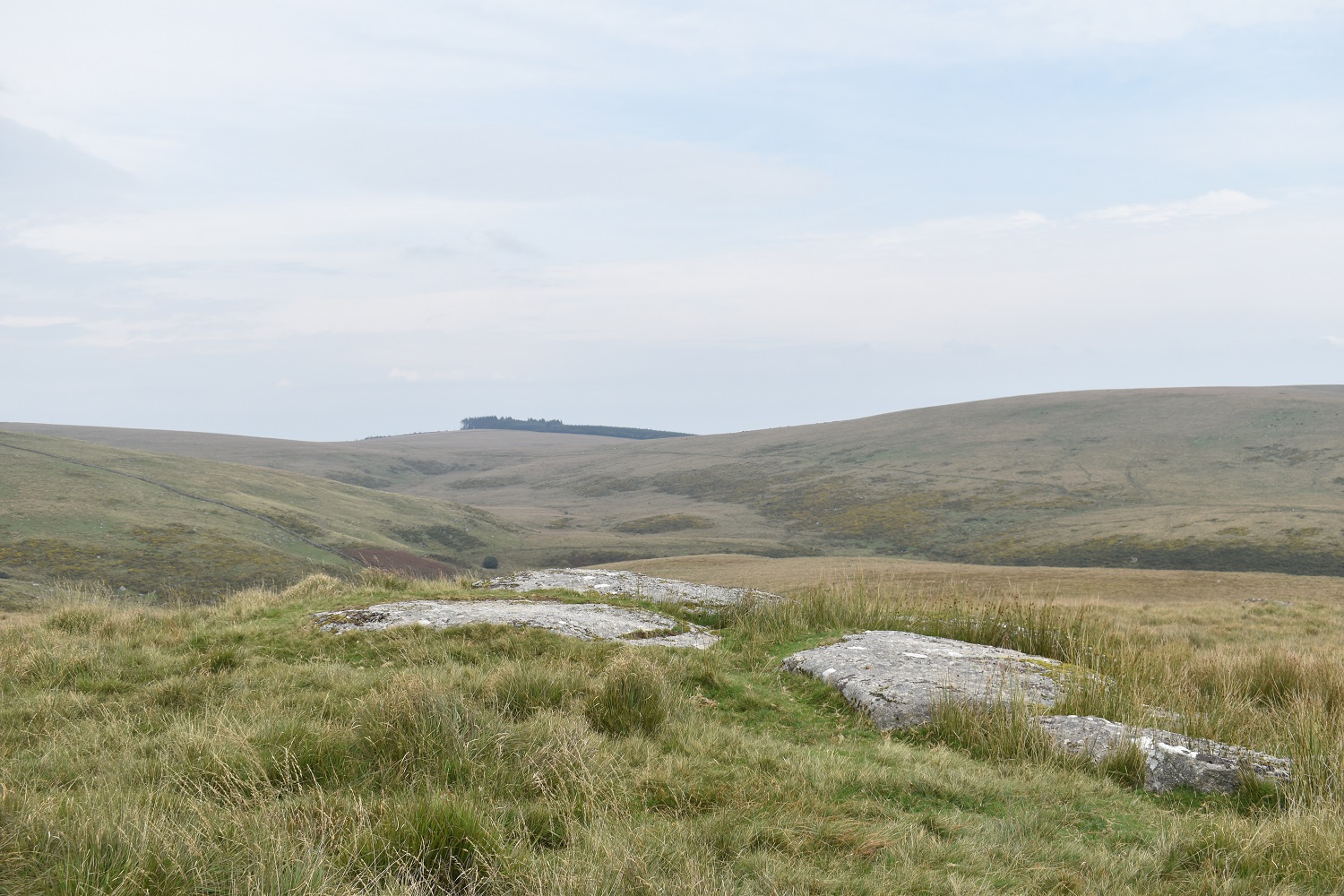
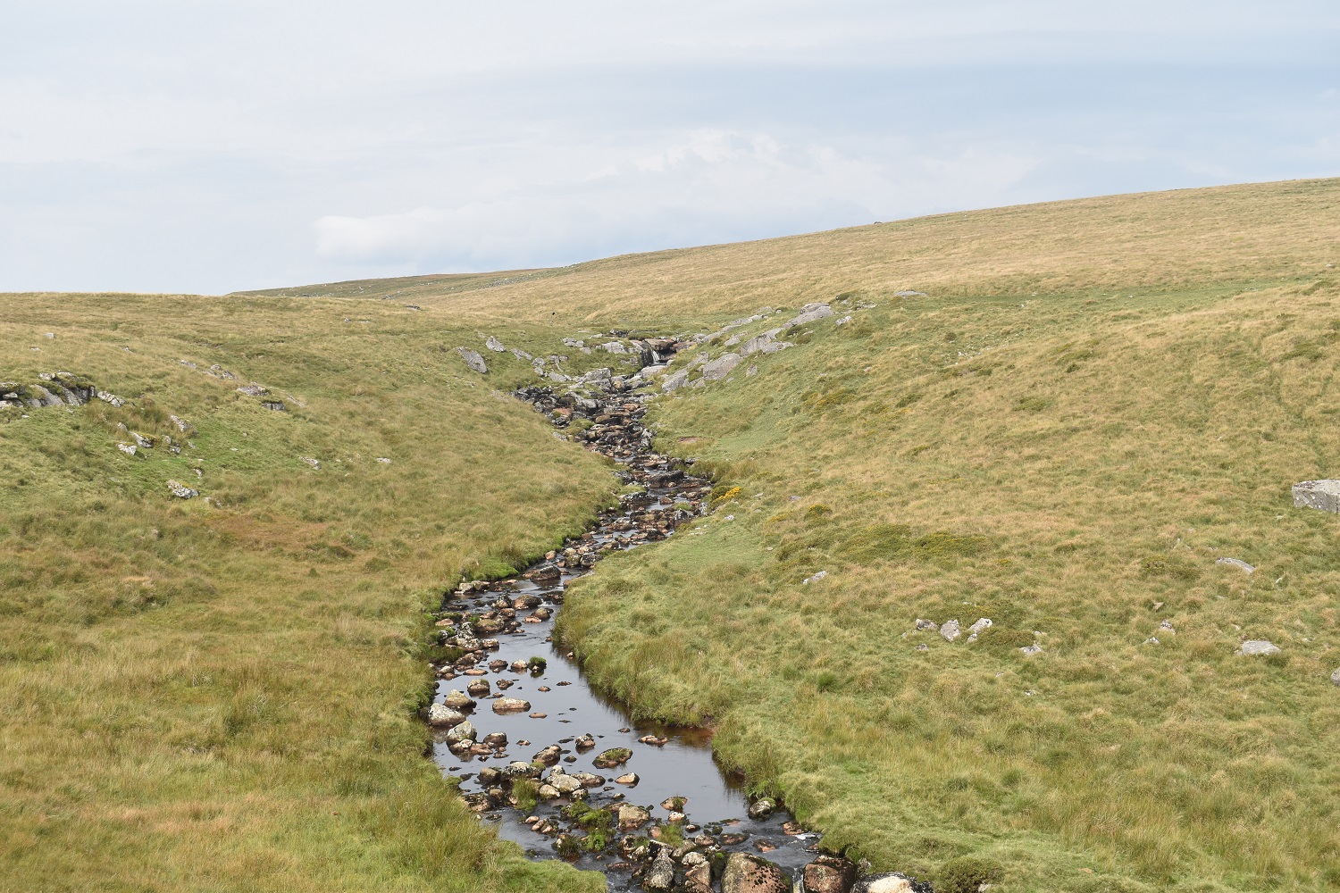
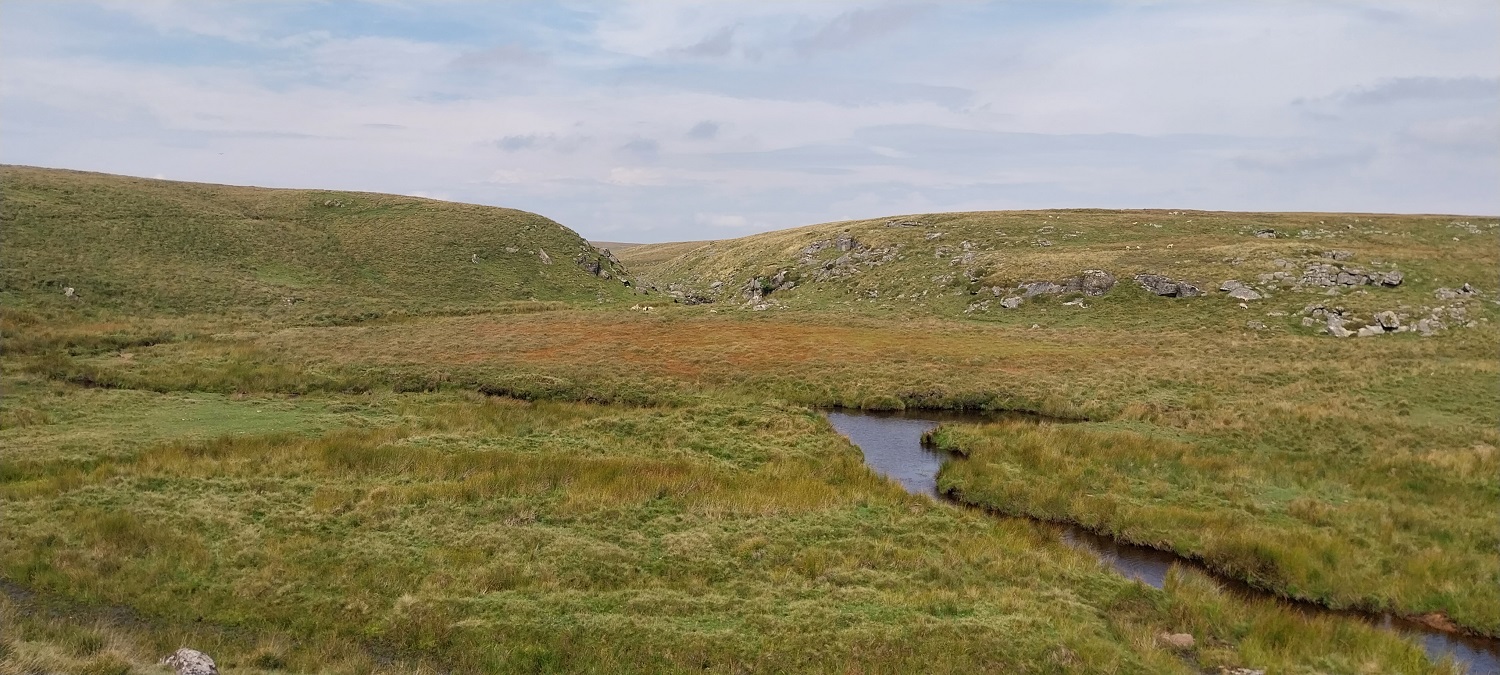
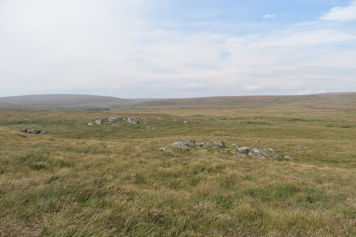
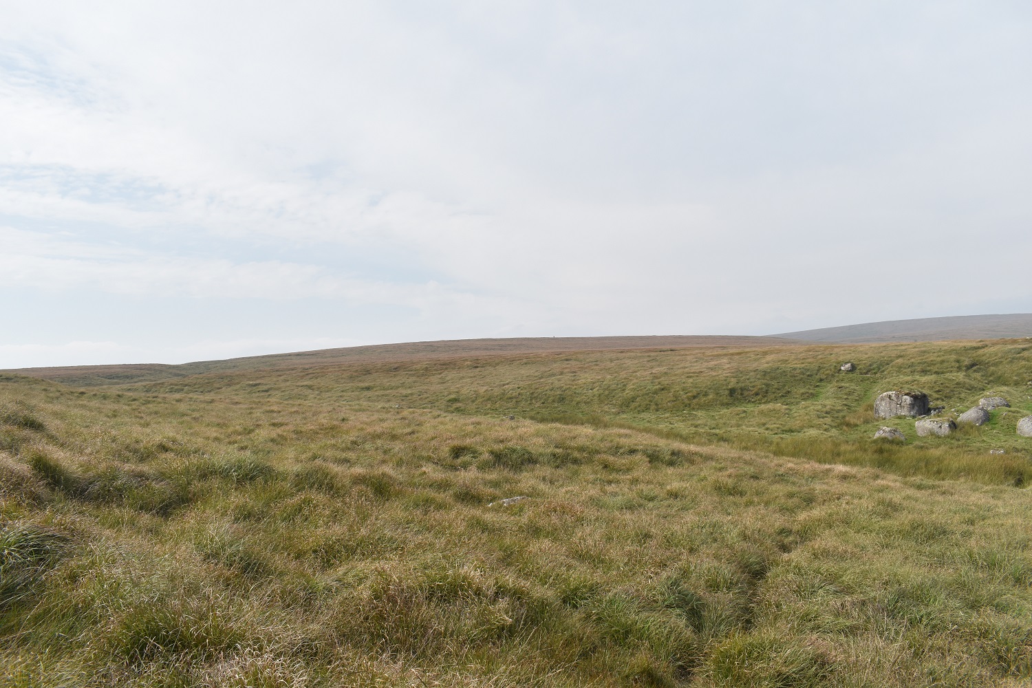
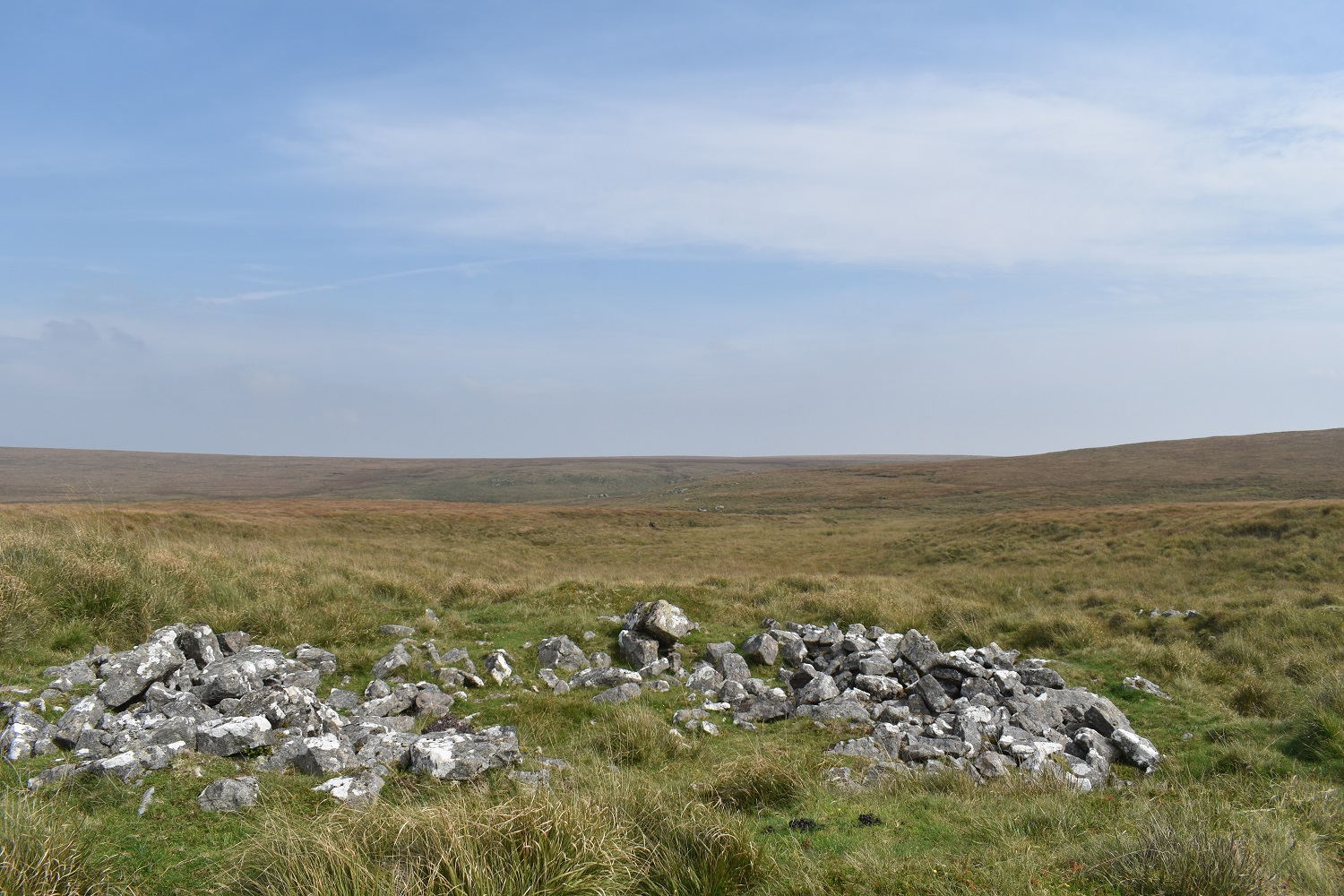
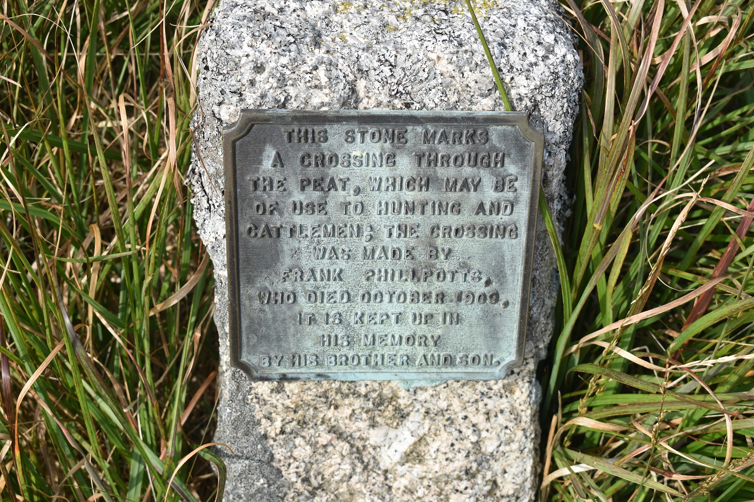
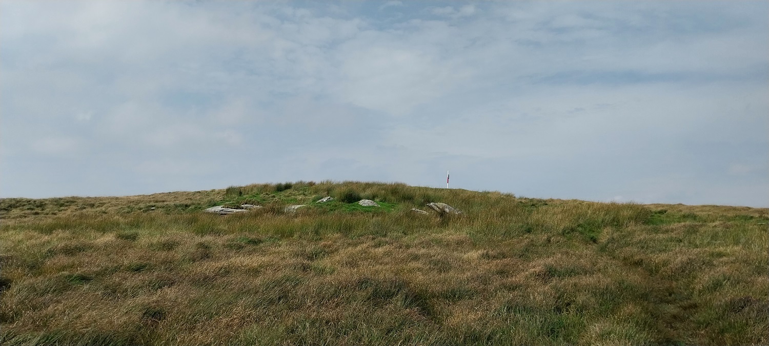
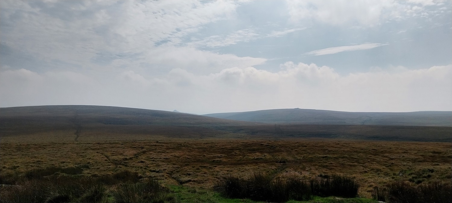
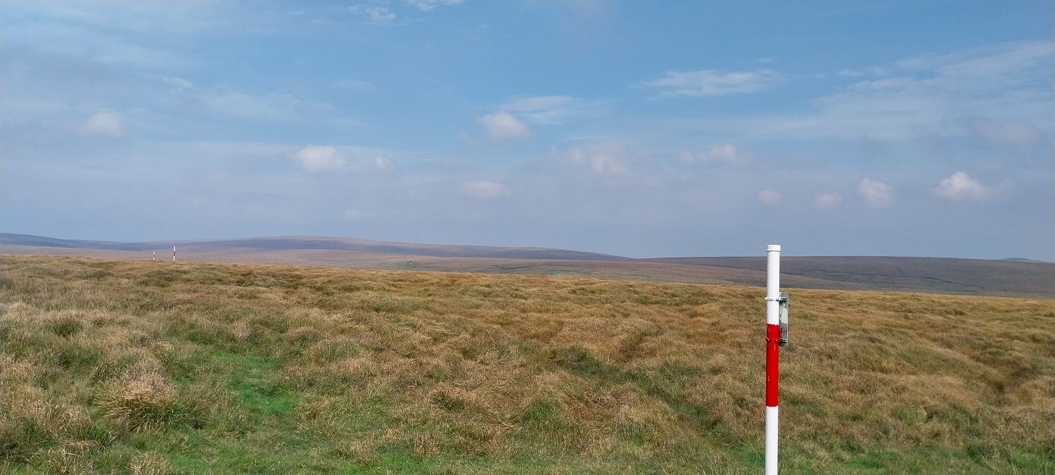
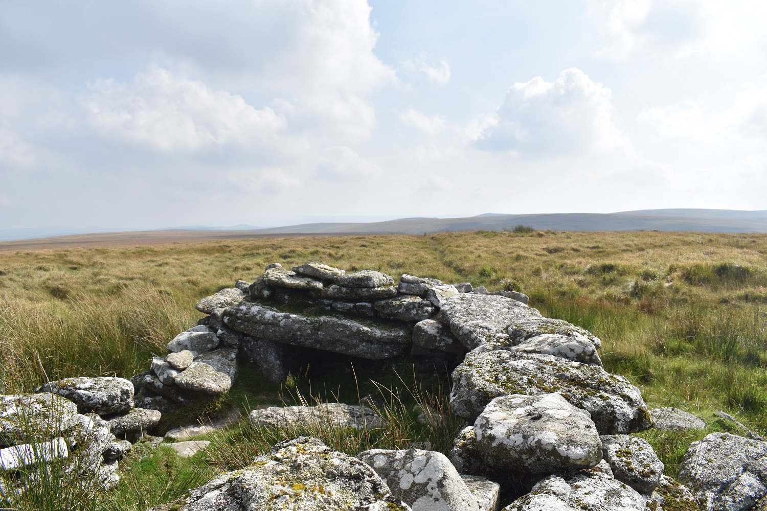
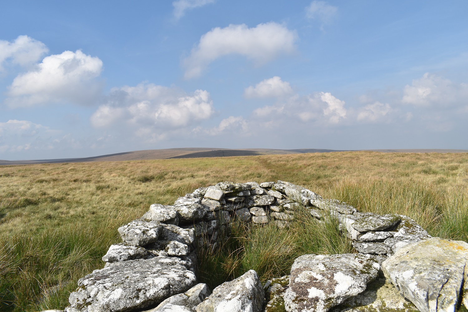
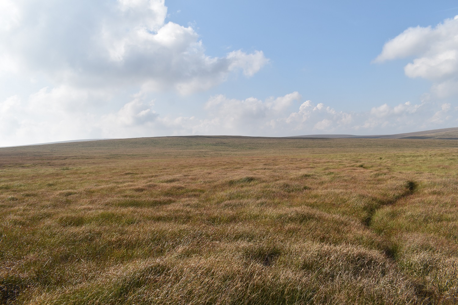
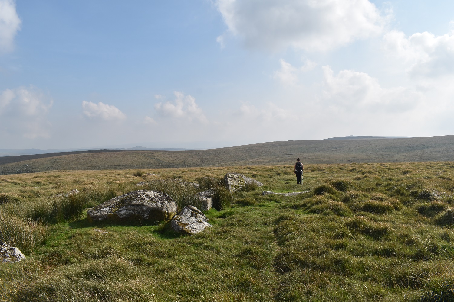
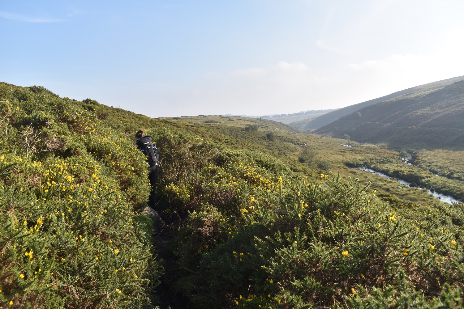
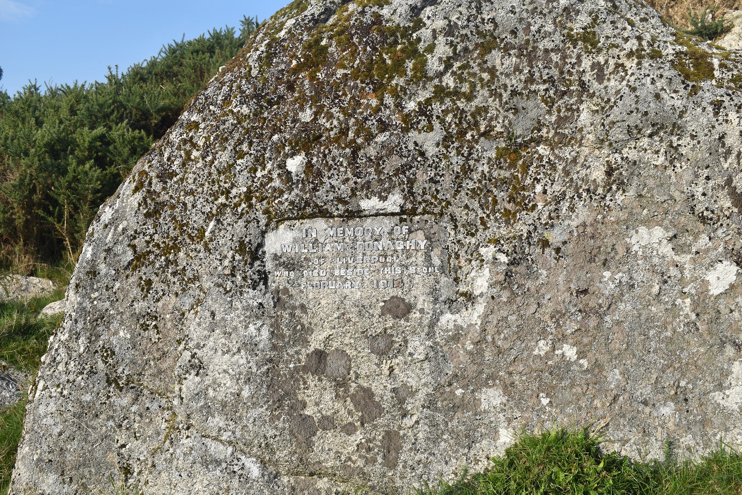
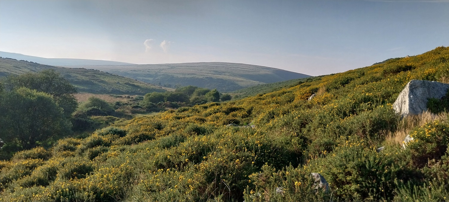
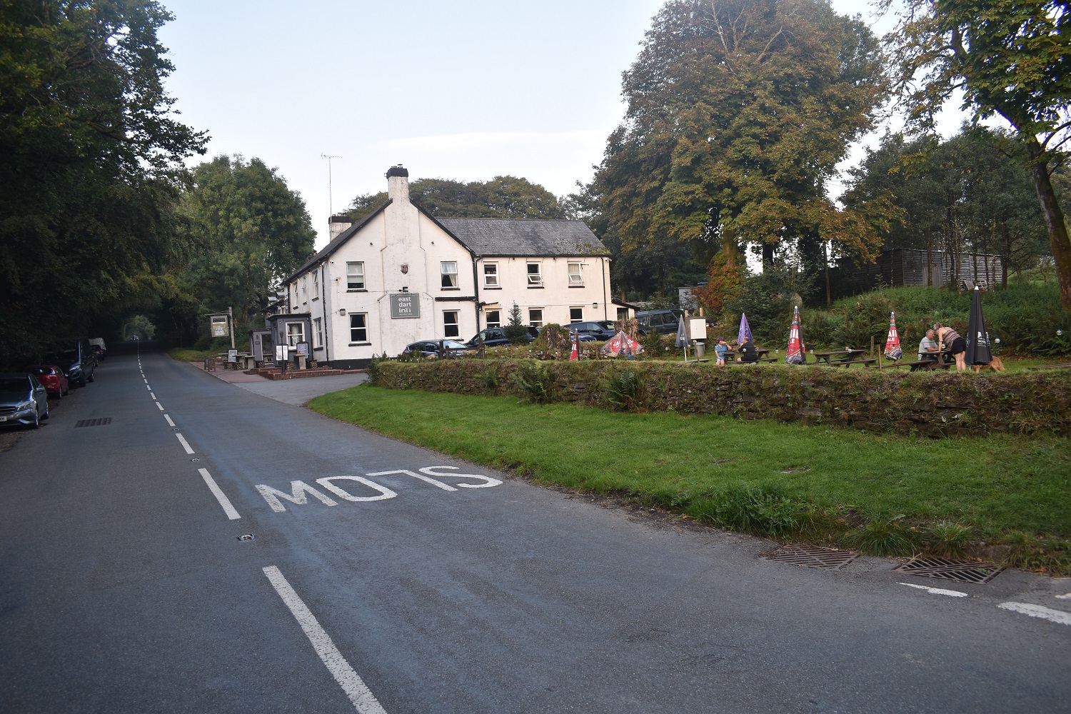
The Postbridge Clapper, said to date from 13th century, even the bridge I’m standing on is from the 1780’s. The East Dart River runs under both structures and will form the most parts of our walk todayDartmoor Ponies as we head to Braddon Lake, which isn’t a lake but a brookBraddon Lake is below, Postbridge in the distanceMore to the south a hazy view over Bellever TorA bit further west is Higher White Tor and Lower White Tor, I’m sure from the name you can work out which is which. We should have been the other side of the wall at this point but a large group of cows meant we went through a gate to this side for some trickier walking with longer grassBroadun Rocks, or at least one of the small outcrops of this bunchApproaching the East Dart WaterfallA dry week means not much water, but it’s always lovely to kick off your shoes here and sit for a bit and have a coffeeSandy Hole Pass is a short walk behind the waterfall, that’s still the East Dart, which flows over the waterfall of the same nameSandy Hole Rocks, these are the northern ones, the southern ones are behind meThe Broada Stones aheadBroada Stones to the right, we will head up here along a good path on the right hand side into Cowflop Bottom, the hill in the centre holds Flat Tor, back right is Cut HillOne of the tinners huts in Cowflop Bottom, the tinning here is said to have caused the silting up of Dartmouth harbourThe peat pass below Flat Tor, the grass is very overgrown in here making it a tricky pathFlat Tor, as it says on the tinThere isn’t much of an outcrop here, but the isolation is unparalleled. Rough Tor is back right, the hill on the left is unnamed, but between me and there is some very boggy ground which is home to the Mires Project and not really anywhere that should be walked, although there is a path going that way!The edge of the Merrivale firing range, always a good plan to follow the poles, as there is always a bit of a path joining them, we followed these down to Cut Hill Water, before turning right and crossing Cut Hill Stream. This is an area which needs dry weather ideally as it is very boggy in winter, we got through here dry shod, but the long grass made for difficult walkingNearly at Kit Rocks, just an easy crossing of the East Dart to do. It is narrowing here, enough to cross with a stone or twoKit RocksThe entrance to Sandy Hole Pass is over the depression holding Broad Marsh as we walk to Statts HouseAnother peat pass, this one heads towards Broad Marsh, the dark hill has Flat Tor at its summitStatts House, you can see the fireplace of this hut still in placeLooking north from Statts House to more bleak landThe high point over there is Statts House, we’d ploughed through some truly horrid areas to get here, this is Winneys Down, a vast area of grim long grass and boggy horribleness There are some outcrops on Winneys Down, but by this point we just wanted shorter grass and a semblance of a path which didn’t vanish on usThe East Dart is down below us here and we’d found the path that follows the twists and turns of the river. My feet were sore by this point with the Plantar Fasciitis kicking in again, so I had a soak in the Winneys Down Brook to help out.We’d spent a good 15 minutes here trying to negotiate a large group of cows, calves and bulls. Only a few in the picture but there was easily 30 or more covering the area and pinning us in apart from a return the way we came or a sliver by the riverAs if to compound the cows, we then hit the super narrow gorse path. Hartland Tor is ahead of usThe Willaim Donaghy memorial. As it says he was found here in February 1914, having disappeared from Liverpool in November 1913. All he had was a train ticket to Exeter and a train station locker stub. A gun was found in the locker. A sorry story of a teacher who worked in Warrington.Looking back from below Hartland Tor to Broad DownAnd back at the car, on the left here in the roadside parking opposite the pub, no pint for us this time as it was 6pm on a Sunday and we needed to get home, but its a good pub to finish off a walk in this area
To be honest I haven’t followed the East Dart any further north than Kit Rocks. Still a couple of miles of bleak walking before you reach the head of that river
This is pretty central in the northern moor, lots of river heads in this area and some pretty boggy ground in the winter. After the waterfall we didn’t see anyone until we got back to Postbridge


Used to be one of my favourite routes up to Cranmere, inspired by Crossing in Amid Devonia’s Alps.
LikeLiked by 1 person
To be honest I haven’t followed the East Dart any further north than Kit Rocks. Still a couple of miles of bleak walking before you reach the head of that river
LikeLike
This one looks like a real wild moorland walk. Imagine if the mist had rolled in.
LikeLiked by 1 person
This is pretty central in the northern moor, lots of river heads in this area and some pretty boggy ground in the winter. After the waterfall we didn’t see anyone until we got back to Postbridge
LikeLike
A bleak and lonely area of moorland, brightened immensely (imho) by the name Cowflop Bottom! 🤣
LikeLiked by 1 person
Linda didn’t believe me when I said we were entering Cowflop Bottom!!
LikeLiked by 1 person
The photos look appealing but ‘grim long grass and boggy horribleness’ is less attractive! Like Andy, I’m drawn to visit Cowflop Bottom.
LikeLiked by 1 person
The long grass makes for some tiring and awkward walking
LikeLike
I can well imagine.
LikeLike