Well November seems to have been mostly about the rain, either it was about to rain or it already was. The temperatures stayed pretty mild throughout meaning the south west was hit by wave after wave of rain clouds. I managed only two walks in the whole month which was a pretty poor effort for me. This walk however expanded on a walk I would normally do to Berra Tor, by first dropping down to Doublewaters and then looping back round to Berra Tor. Next time I fancy adding on a longer road walk at the end, possibly through Buckland Monachorum to make it a longer walk. This one fitted the bill nicely though for this day as I had the school run to do, so time was not with me. The weather was dull, but I managed to get round without anymore than a quick shower which was good, and a number of outcrops that I haven’t visited for a while were also on the agenda. So all in all a good walk.
| Start – Uppaton garden centre |
| Route – West Devon Way – Buck Tor – Doublewaters Bridge – Virtuous Lady Crags – Balstone Wood Tor – Berra Tor – Coppicetown – Uppaton |
| Distance – 3.5 miles Start time – 12.20pm Time taken – 2hrs Highest Point – Berra Tor 132metres |
| Weather – Cold, damp with cloud down over 300 metres |
© Crown copyright 2019 Ordnance Survey FL 2019 SF
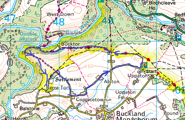
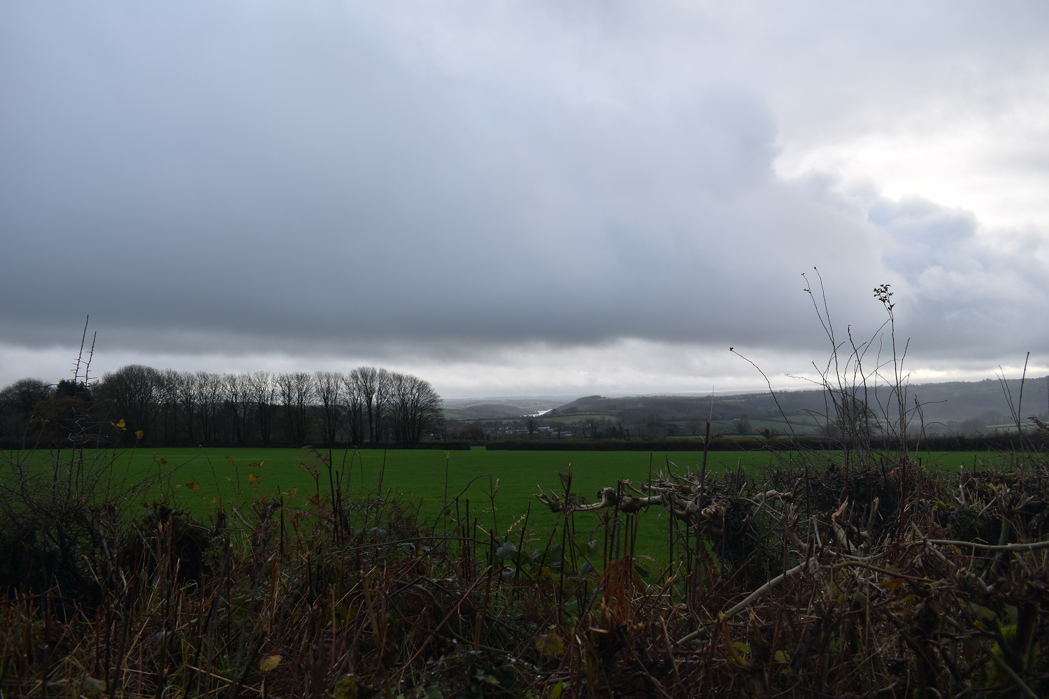
There probably isn’t a better photo to show what November has looked like. Low grey cloud and rain in the distance on its way to where you are standing!!
Looking over to Cornwall, the central lump is Kit Hill which has its head in the clouds
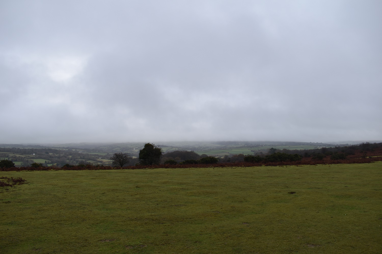
Even Brent Tor, which is just over 300 metres asl is cloud covered in the distance.
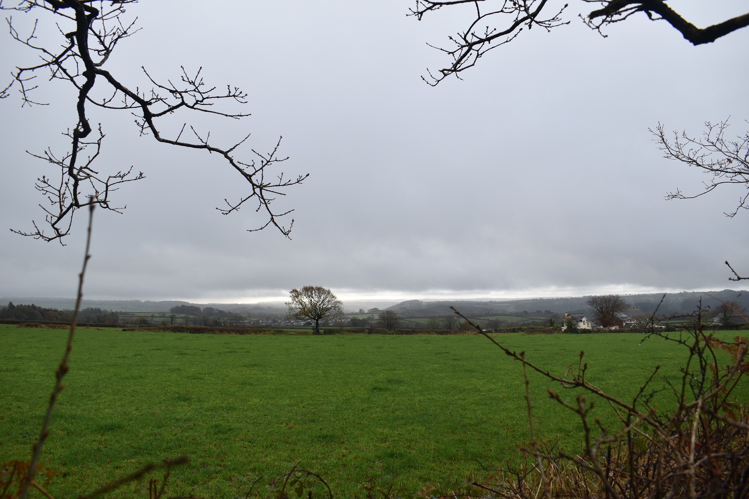
That’s South east Cornwall over there, which looks brighter than it does here
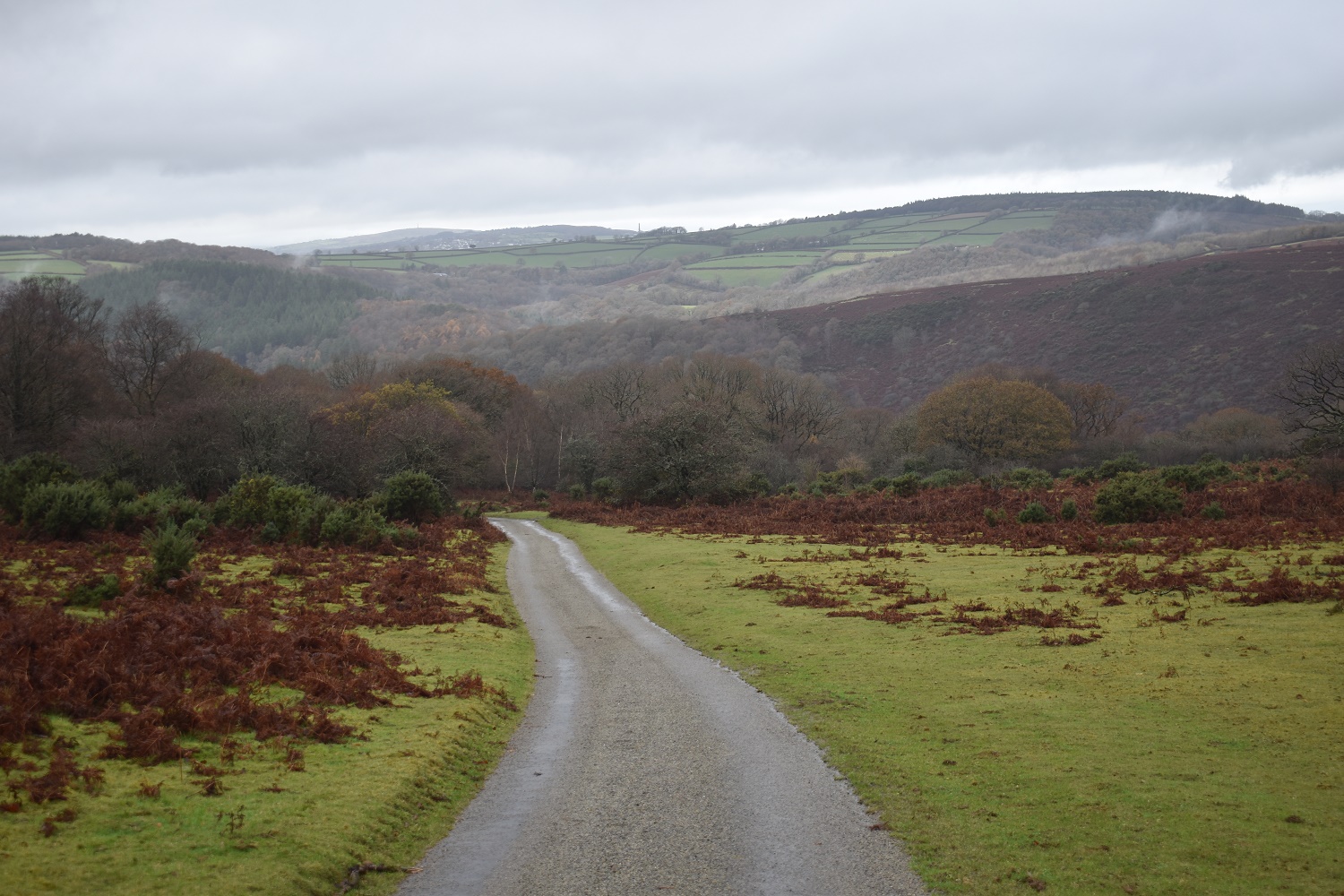
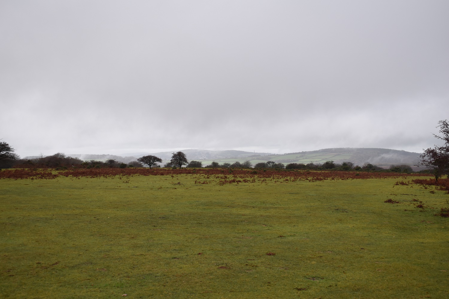
The West Devon Way down to Doublewaters. I walked up this at mile 15 on my second day doing that trail. I was not pleased and huffed and puffed the majority of it. Kit Hill has now broken free from the cloud in the centre
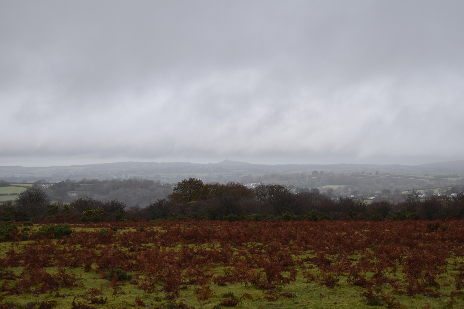
Buck Tor up on the right as I look back along the West Devon Way
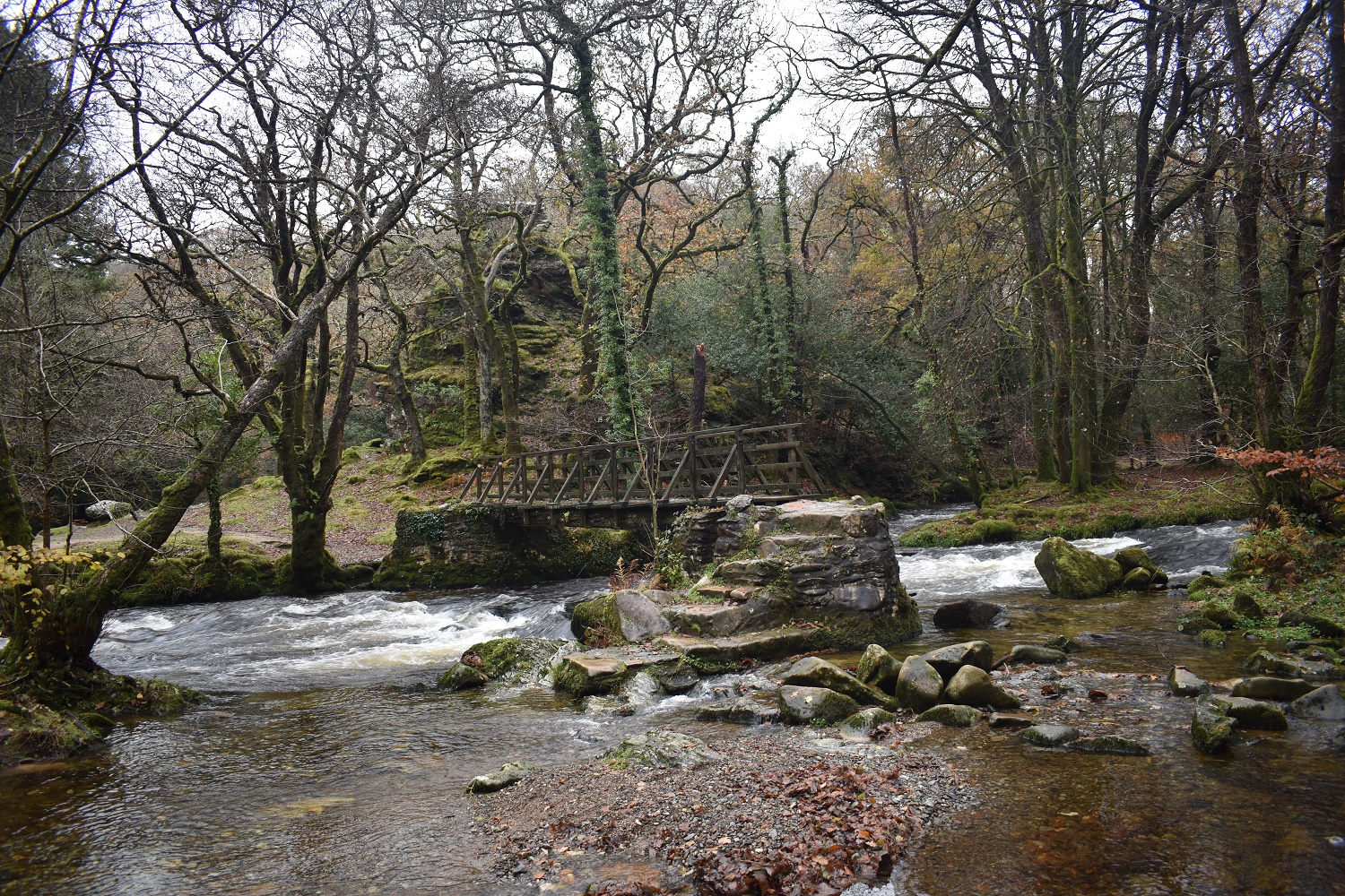
Doublewaters Bridge, Goat’s Rock sits behind the bridge and just outside the national park boundary
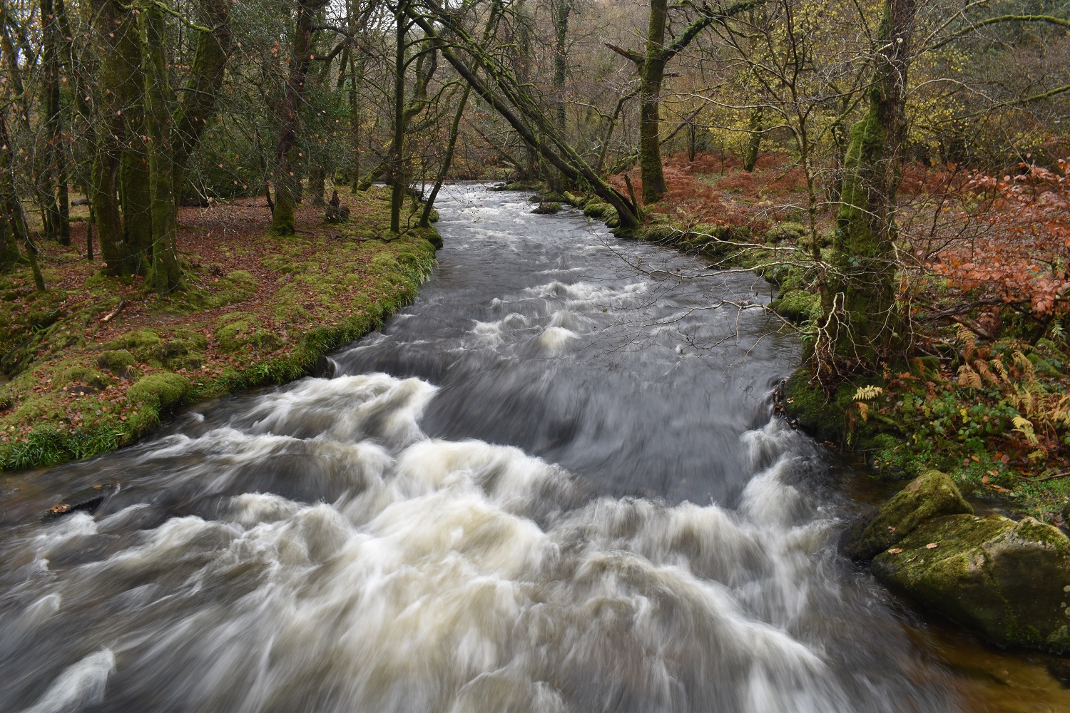
Yep, all that rain goes somewhere
I went over the bridge to have a look at Goat’s Rock. The West Devon Way comes past here on the left, but I don’t remember walking past it if I’m honest
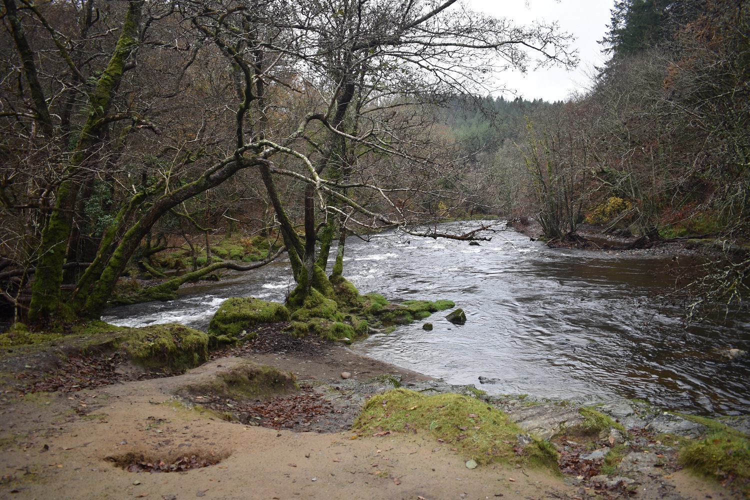
Turning round, the River Walkham comes in from the left to join the River Tavy coming from the right
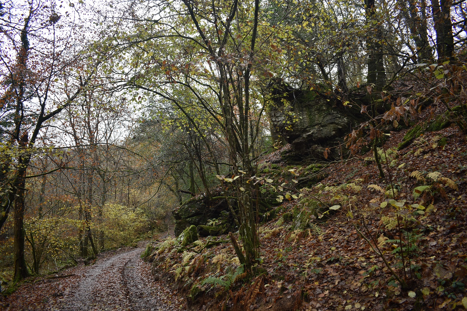
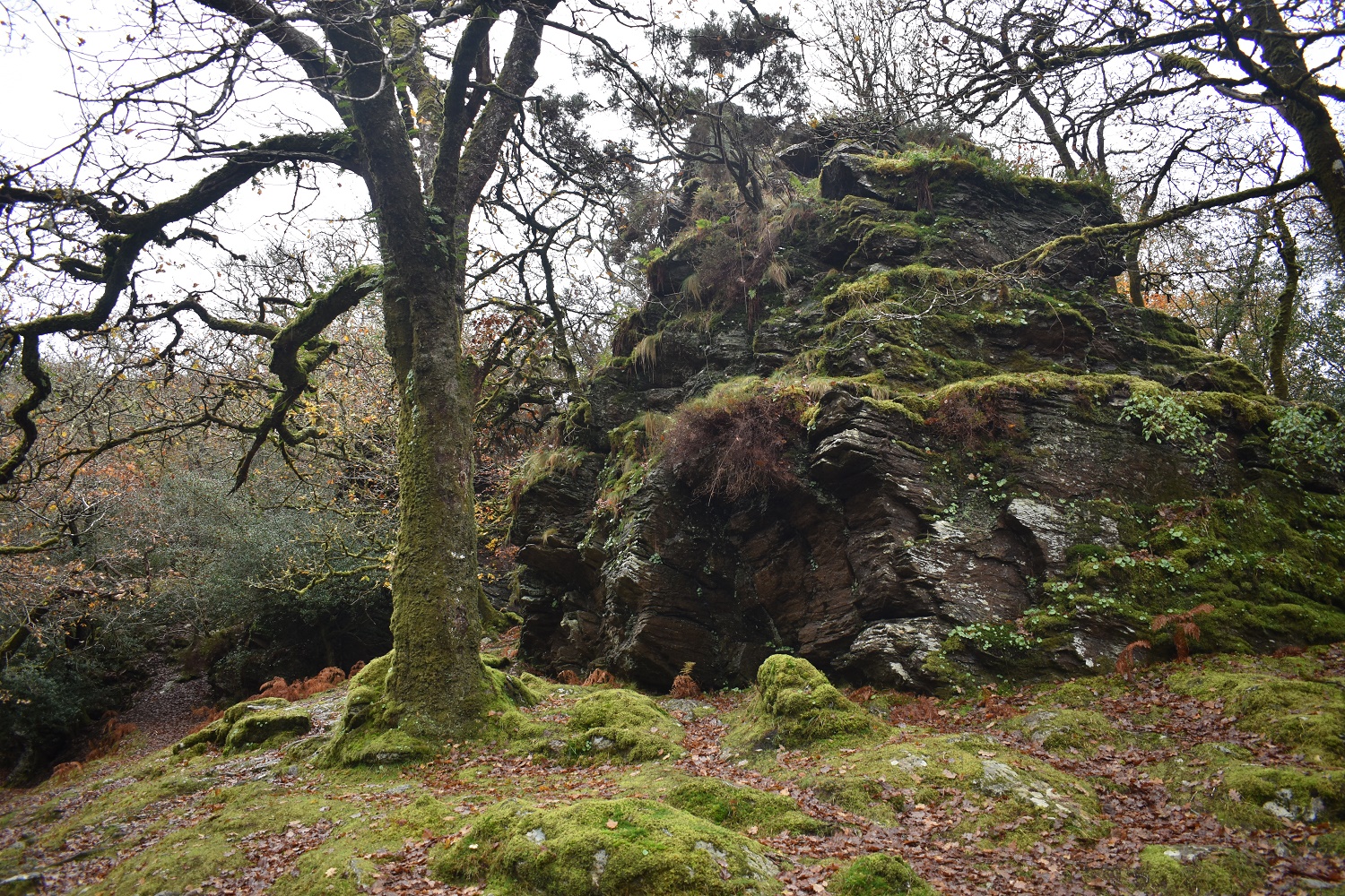
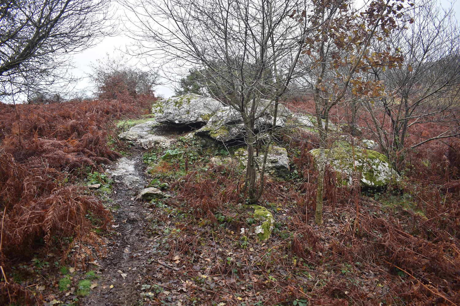
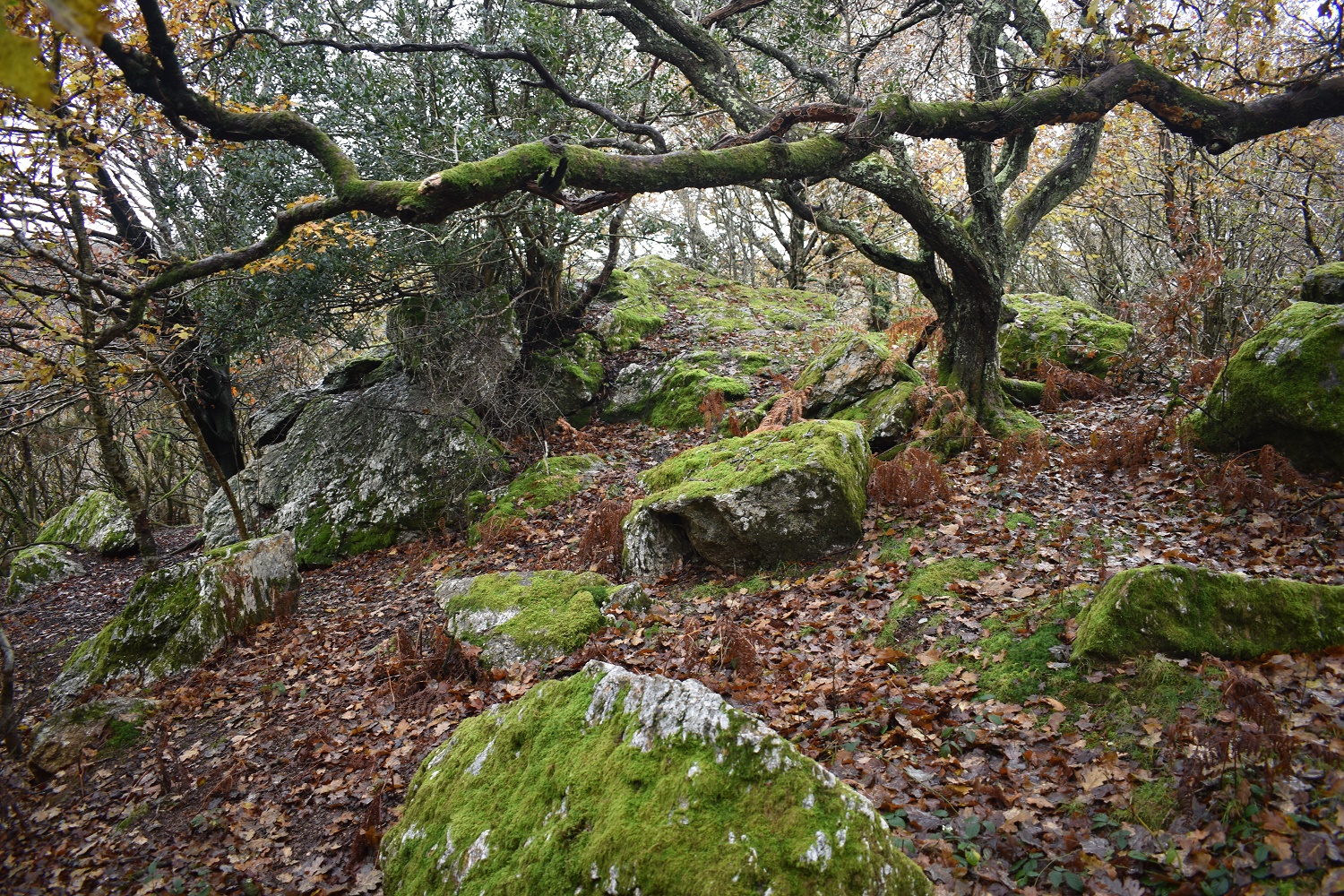
By the bridge is the brilliantly named Virtuous Lady Crags, there are a few outcrops, all by the path heading away to the right
The highest of the crags are about 300 metres from the first. The path heads up on the right of this photo and then behind this outcrop
The River Tavy is down there as I climb upwards behind Virtuous Lady Crags
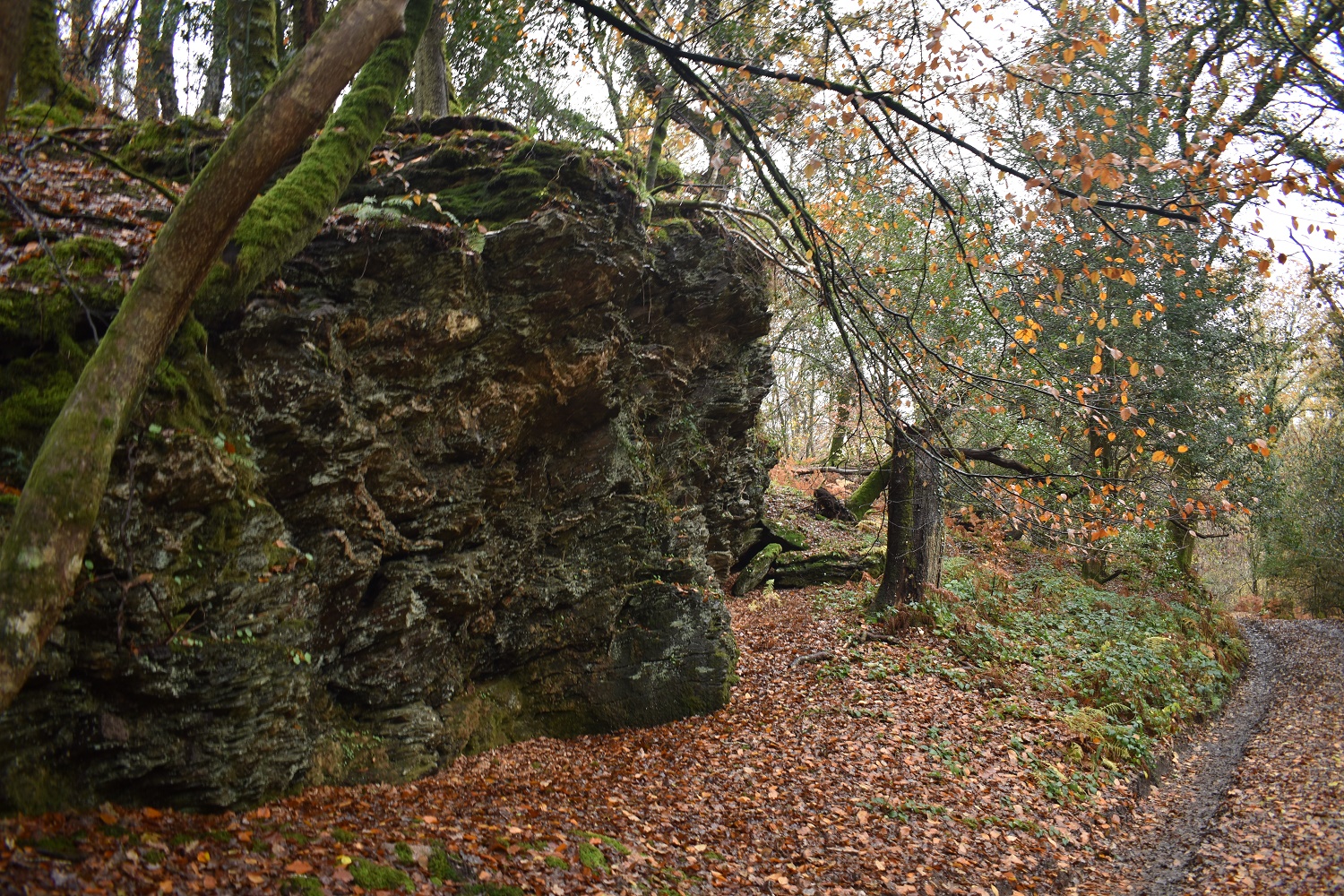
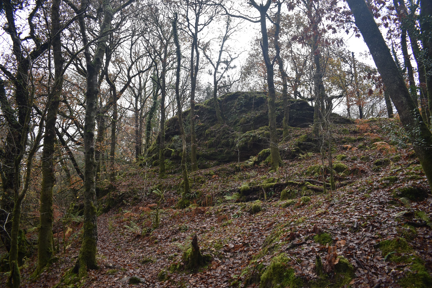
Beside the path to Berra Tor is this small outcrop. This is Balstone Wood Tor with the majority of it behind me
Here it is, it tumbles down the hill a bit to the left, but its a decent outcrop
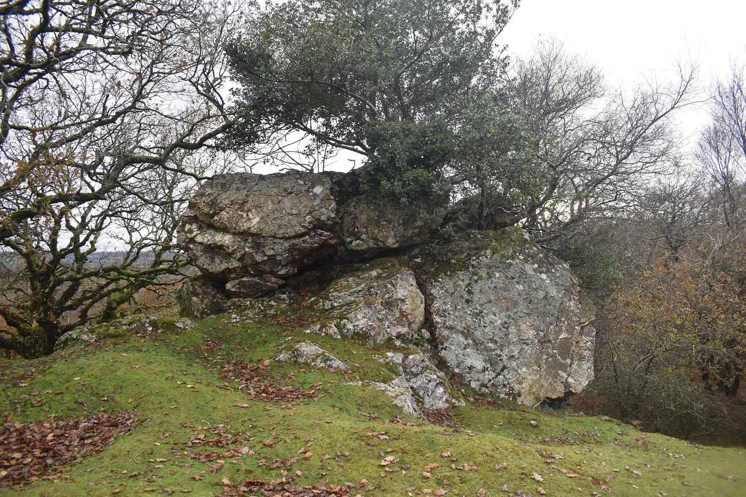
Balstone Wood Tor is only a short distance from this one. Berra Tor is normally hidden by bracken, trees and brash. But at this time of year you can get a decent look at it again.
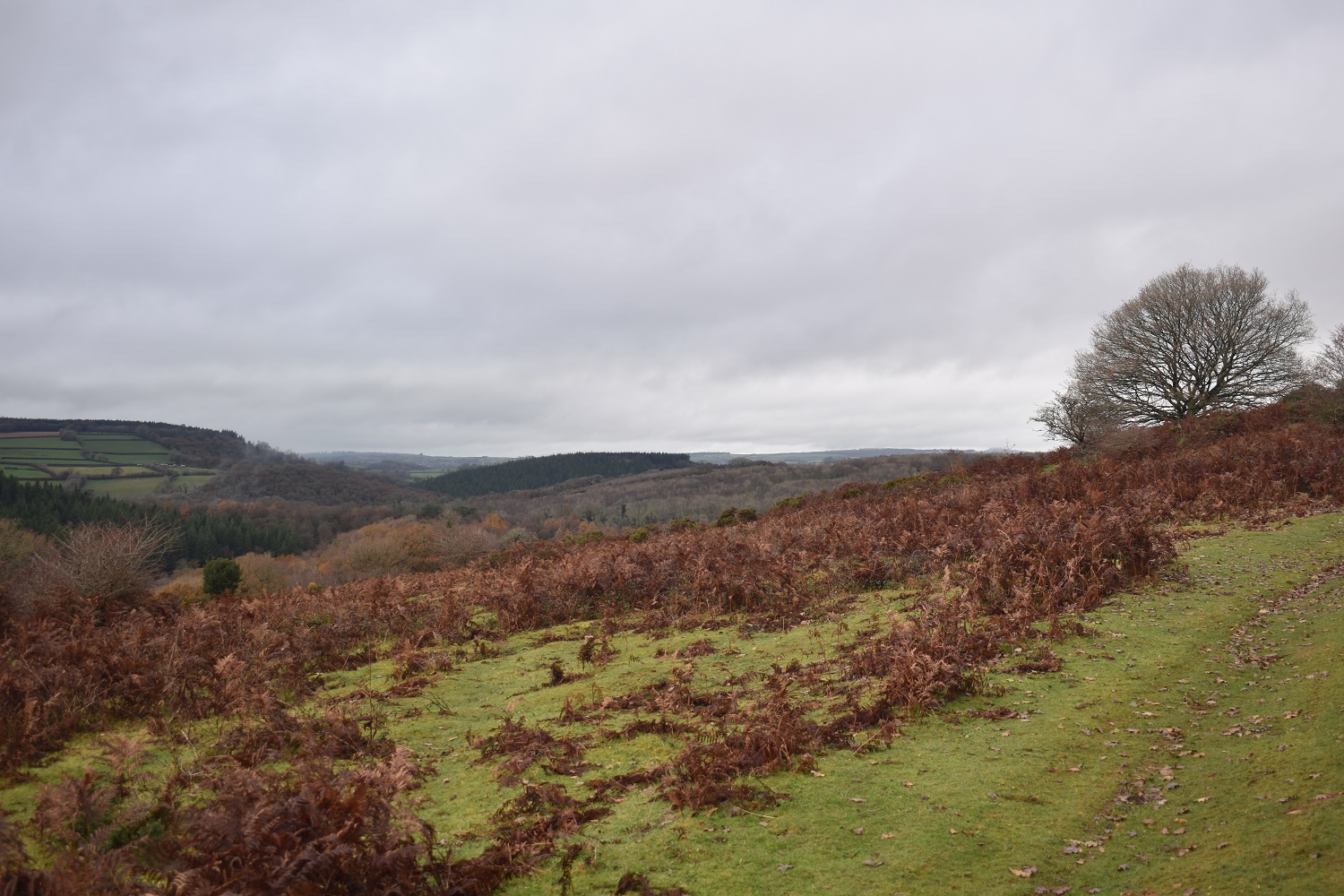
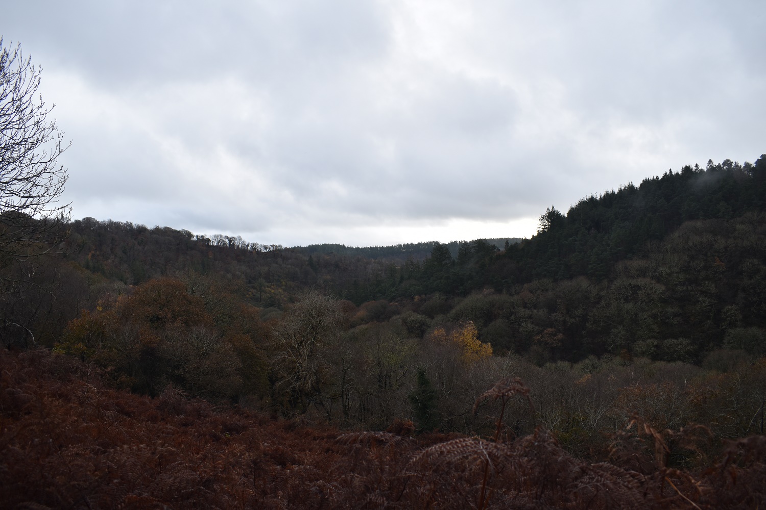
If the cloud wasn’t so low I’d be enjoying fine views along the west side of Dartmoor from here
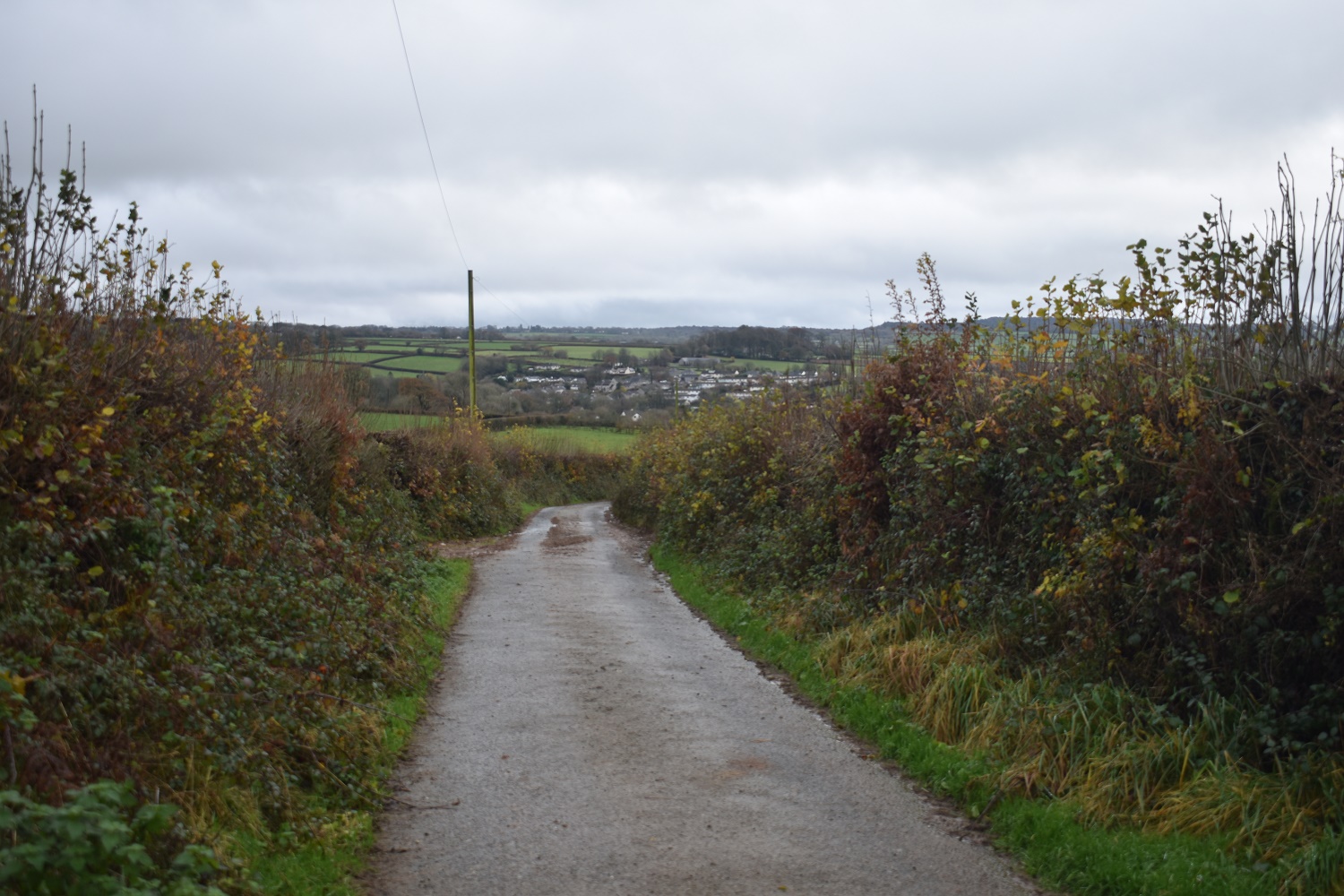
The road to Buckland Monachorum which is dead ahead. I’m not quite going that far this time.
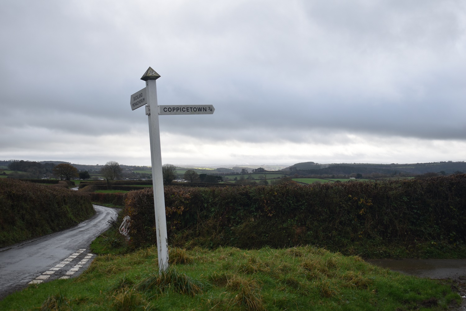
I’ve come from the right and I’m heading out to the left, down a road not shown here
As I approach Uppaton and the car I catch a look over the fence to the south east and the glint in the distance of the River Tamar which will end up in Plymouth Sound


Many many years since I’ve been over there. Used to get few walkers in my day barring locals.
LikeLiked by 1 person
Its a nice little area, walking alongside any river always makes a walk for me. Cracking place
LikeLike
Great to see Buck Tor, Virtuous Lady Crags and Balstone Wood Tor get some recognition. Are these three going to make the Foster 400 List go above 400 or will you replace some? Cheers Max.
LikeLiked by 1 person
I’ve took some out, Lowton Tor has gone as I couldn’t get to it due to trees in Fernworthy. Bee Tor, Scatter Rocks and Nattor have gone as they are way into private land. However I’m looking at the eastern side of the moor and I’m missing lots over there on my list. Maybe the Foster 500 is needed, I might need some guidance Max!!
LikeLiked by 1 person
Yeah, the eastern side of the moor/national park is littered with outcrops which all have their own names. It’s difficult to know where to stop and what to include as quite a few are, as you know, on private land. The database is almost at 800 tors so a Foster 500 List might be necessary. We have to draw a line somewhere!
What types of outcrops are you after for your list? Those on public land? It’s hard to know where to start exploring. If you need any tips feel free to PM me; it’s the best time of year to visit the woodlands as the bracken is down. Cheers Max.
LikeLiked by 1 person
Thanks Max, I will take you up on the PM. To give an example would be the first time I walked through Shaptor Wood, I wasn’t sure what I was heading into, but I knew I wanted to get John Canns Rock and Shaptor Rock. I came across one outcrop right by the main path through the woods, don’t know what its called, might be Pixey Copse or Sonny Copse. I get a bit lost in there to be honest. I’ve been to Bowden Tor as I remember the overhang, but there are loads in there that are big enough for my list and more deserving than say The Hunters Stone, which is a silly entry on my list. Also some more around Lustleigh valley, Wray Cleave area and also around the three reservoirs (tottiford etc). Oh and Hurston Castle Tor obviously!!
LikeLiked by 1 person
Yes, those photos are quintessential November 2019! It’s been a real effort on some days to summon the enthusiasm to go out. Love some of the place names on this walk!
LikeLike
Virtuous Lady Crags is a great name for a rocky outcrop. This is a decent half day walk though and one I’ll keep in the bank for dull days
LikeLike