Whenever I’ve walked in this area I’ve always tended to head straight to Lustleigh Cleave or the ridges above. Well today I thought I’d take in a few of the paths that wriggle their way to and from this lovely little village. The weather wasn’t too bad considering it was raining as I drove here, once out of the car though it slowly started to brighten and I got the odd glimpse of sunshine. Before too long, having walked through the village and out towards Higher Hisley, I decided that I would after all head into the Cleave, and made my way towards Hisley Bridge before seeking out Water Rock, my final tor was Hammerslake, one that I have walked past many, many times on my way to or from Sharpitor above. Most of the paths were particularly muddy, reflecting the ever present rain for the last 4 months and it looks as though, with the warm winter temperatures, that we are unlikely to see a decent covering of snow this year on Dartmoor, one that lasts longer than a day anyway. Still with any luck we will at least get some more drier days like this as we head towards the start of spring.
| Start – Lustleigh parking |
| Route – Combe – Parson’s Brown Loaf – Highfield House Tor – Pathfields Tor – Pathfields Northwest Tor – Lustleigh – Croft Tor – Higher Hisley Tor – Hisley Bridge – Dartmoor Way – Houndtor Wood Bridge – Water Rock – Lustleigh Clam Bridge – Hammerslake Tor – Lustleigh parking |
| Distance – 5 miles Start time – 12.30pm Time taken – 3hrs 50mins Highest Point – Water Rock 205metres |
| Weather – Dark clouds to start, then brighter skies and a bit of sunshine |
© Crown copyright 2019 Ordnance Survey FL 2019 SF

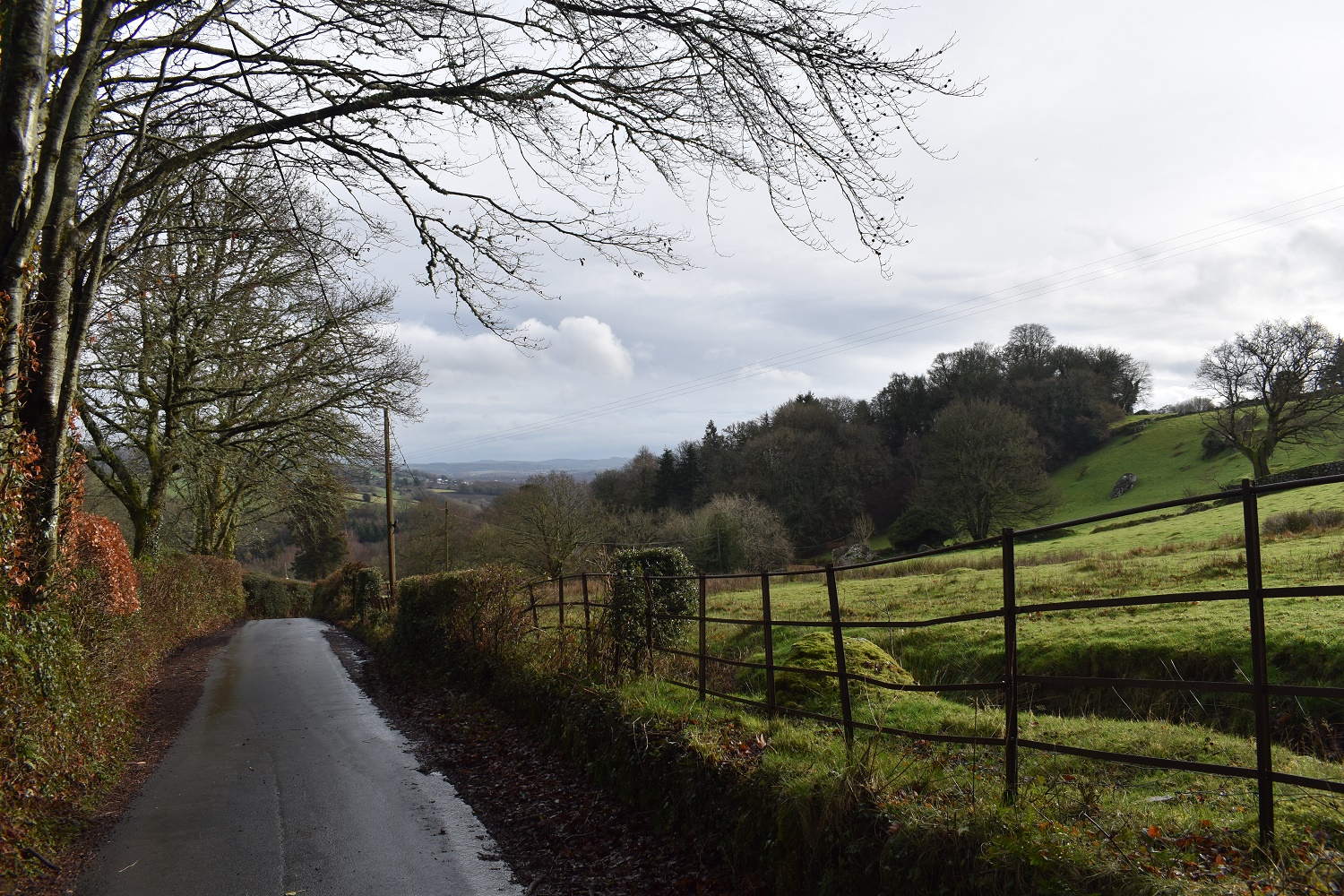
A wet road as I start out, I’m heading along about 100 metres before dropping down to the right along a path

The path winds through some thick woodland

Into Combe. The path on the left head towards Pathfields Northwest Tor. I’m heading behind me first and along the road above

Some views open up across the valley holding the village of Lustleigh

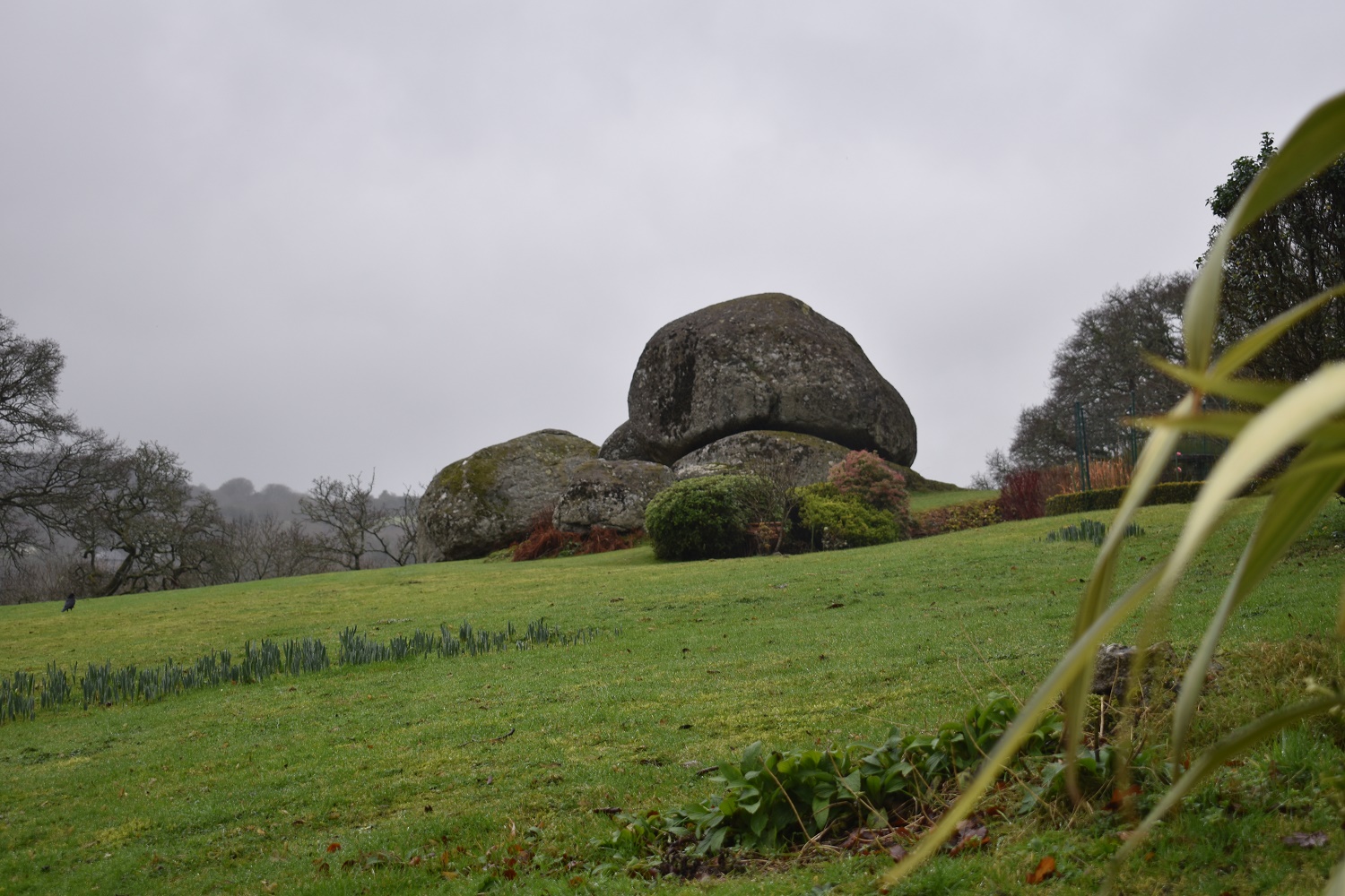
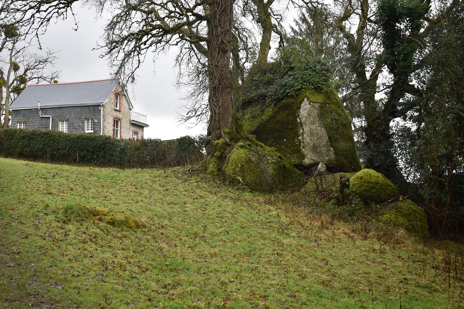
The huge boulder of Parsons Brown Loaf

The house of the same name, the loaf is just along the hedge there
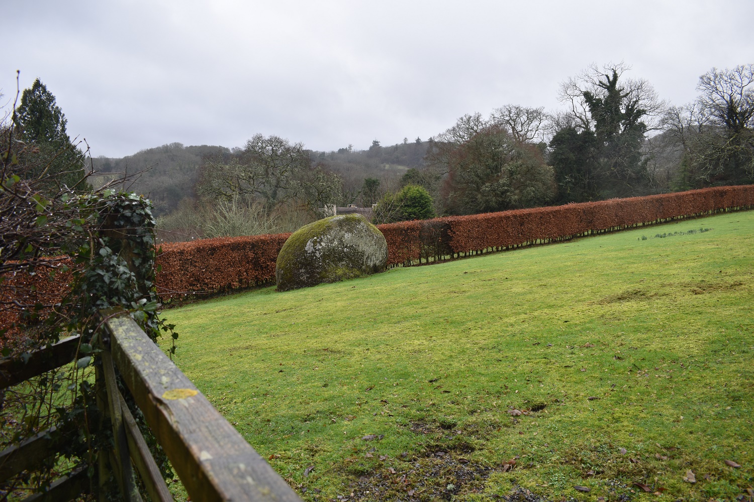
Highfield House Tor sits in the garden of the house but is easily seen
Boulders run down the hill
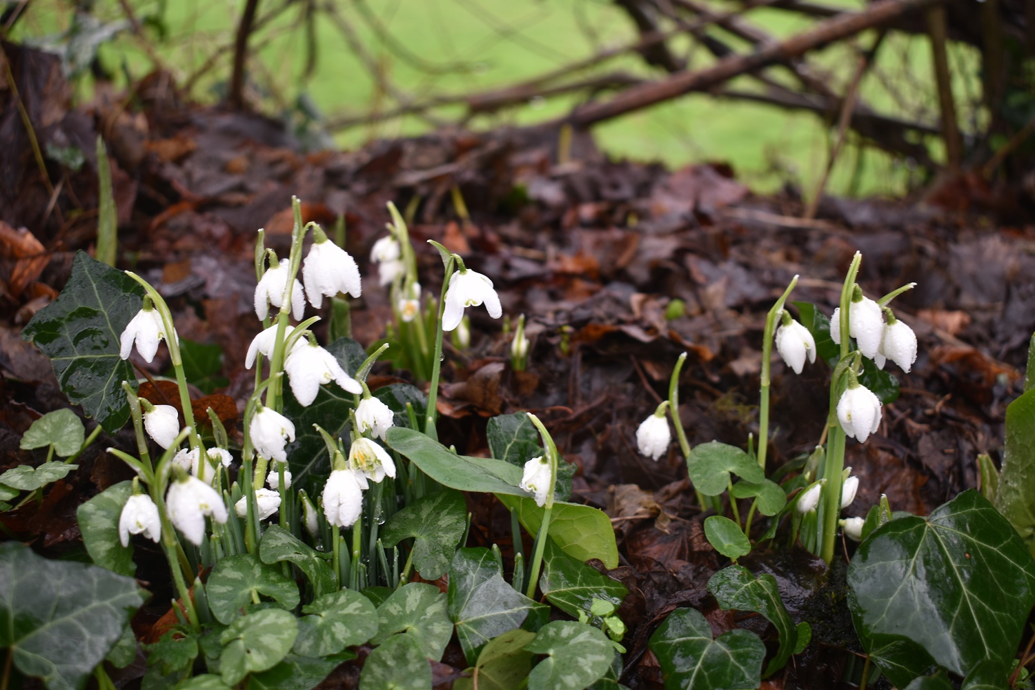
Snowdrops in the village
Pathfields Tor comes first on your left as you break into a field. To my right was Pathfields Northwest Tor, just in the trees
Looking down the outcrop of Pathfields Tor, or at least the part in the trees

I decided to walk over the Pathfields Northwest Tor before seeing the rest of Pathfields Tor. This outcrop sits just inside treeline on a path that leads to Combe

The gate that leads to Combe with Pathfields Northwest Tor beyond. I’ll head back through the gate and back into the field beyond
Pathfields Northwest Tor is on my left. The tallest tree has Pathfields Tor beneath it, I’m following the path and then down to the right into the next field
This next field holds the lower boulders of Pathfields Tor

Including this stand out rock which has a segment missing

Down on the edge of Lustleigh village and the war memorial

Lustleigh Church
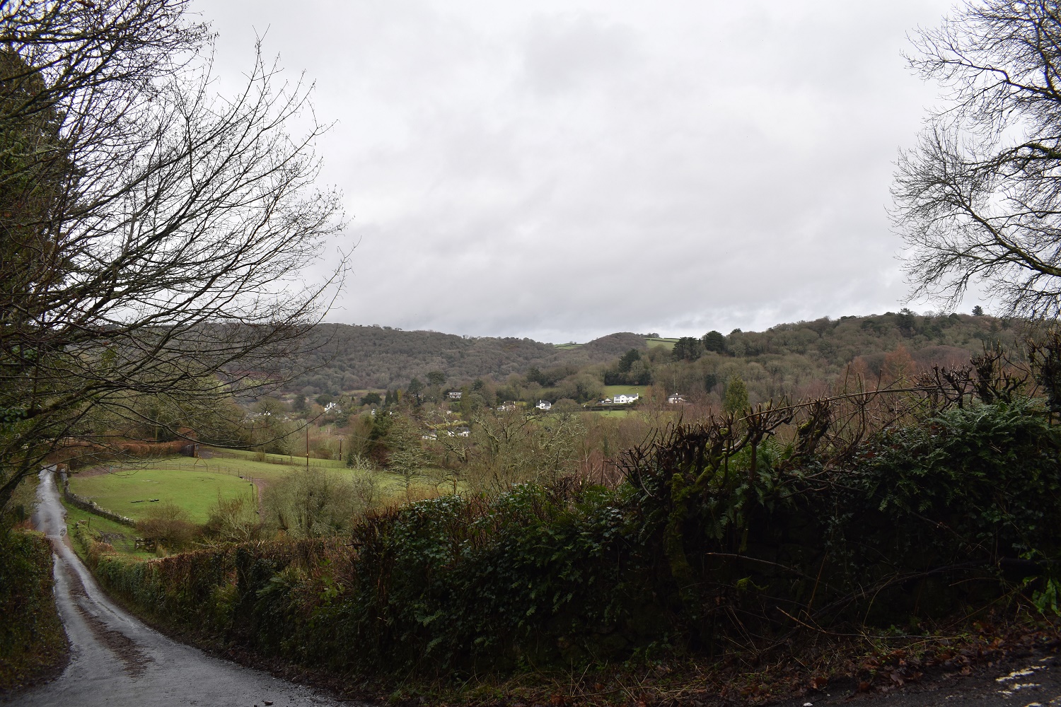
I’m below Higher Hisley now as I look back at the village
A bit of sunshine as I head into Hisley Woods

Up the lane and about to head into the woods with a view across towards Shaptor Woods and Castor Woods

I catch a glimpse of Higher Hisley Tor from the gate and a stable

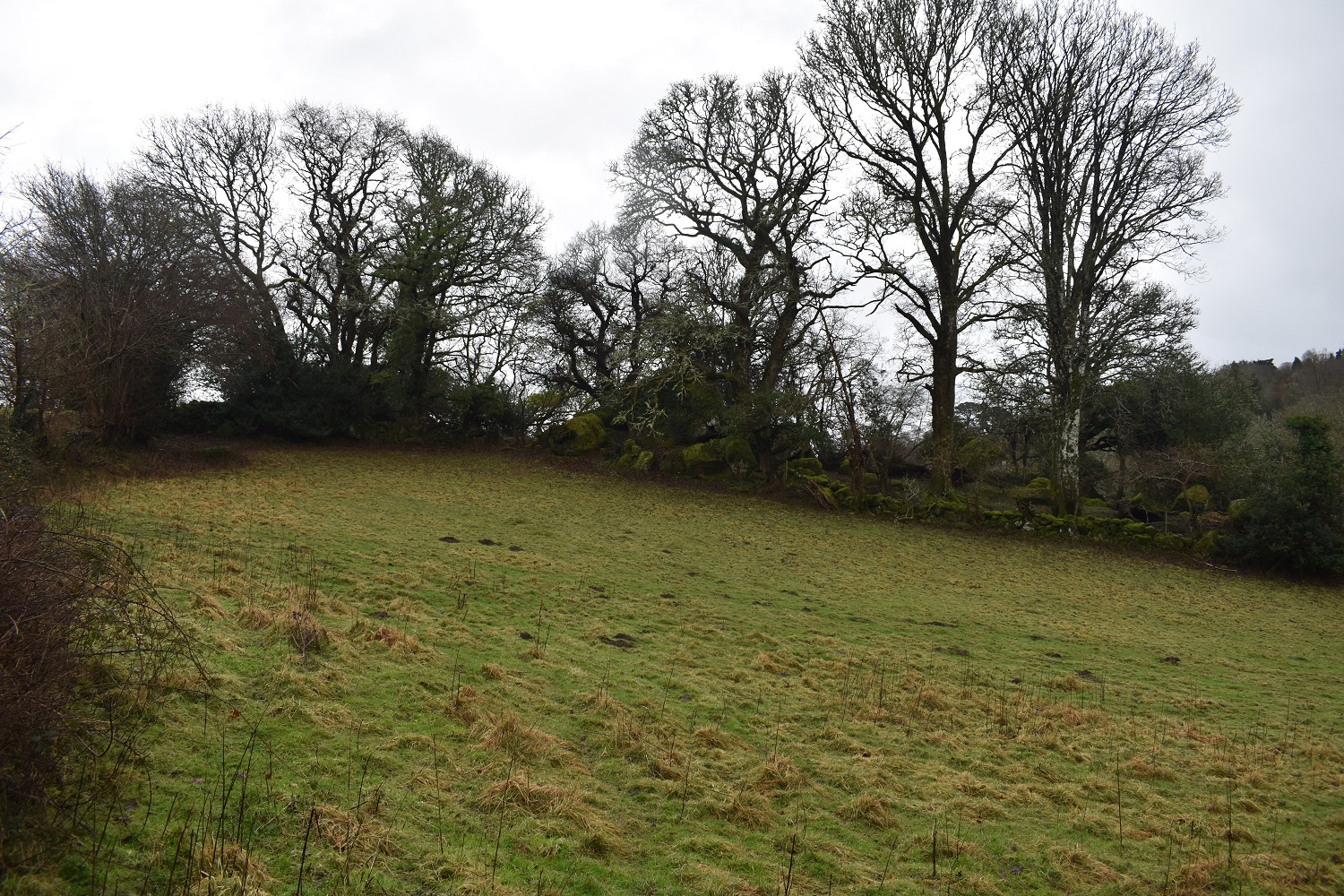
As I head through the gate I look up to the right to Croft Tor. The hedge on the right is a boundary of a house

Croft Tor

Some big boulders on this tor which is a bit bigger than expected

I returned to the gate and squeezed through a gap in the fence in the corner and handrailed the fence line towards Higher Hisley Tor, which is just over there

Higher Hisley Tor

Lower parts of Higher Hisley Tor
I took a direct route downhill through the scrub towards the paths which are lower down. Black Hill can be seen opposite
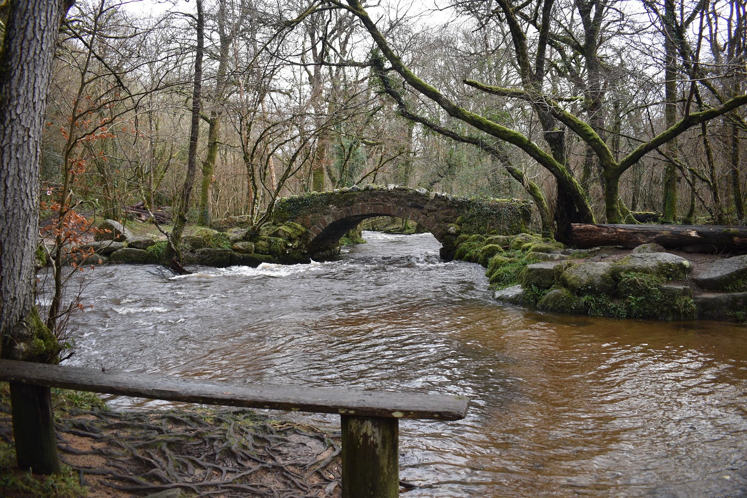
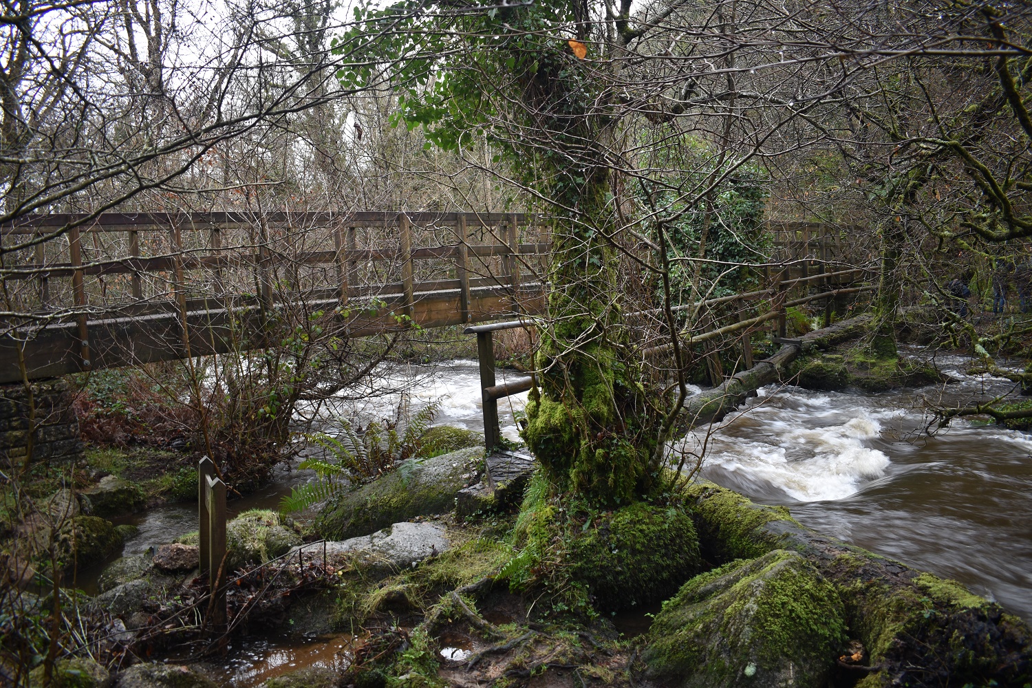
Along a zigzag path and across Hisley Bridge, a fine stone packhorse bridge over the River Bovey
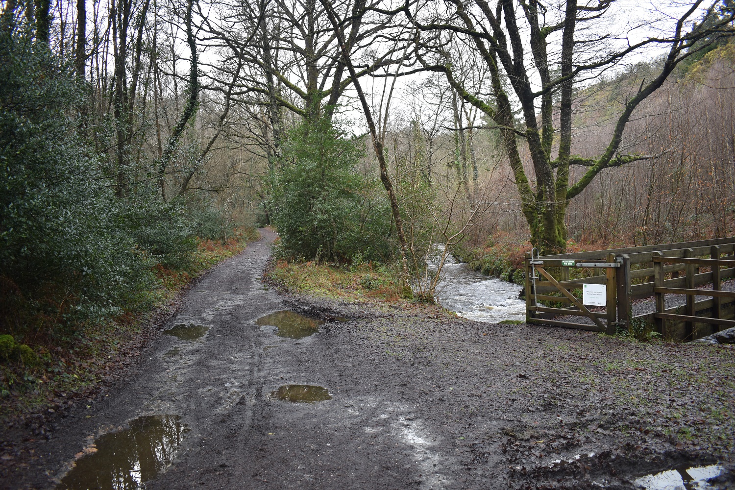
Now along the Dartmoor Way, which is a 95 mile walking route which loops around the periphery of Dartmoor

Houndtor Wood Bridge, I went across here in to Houndtor Wood and up the hill towards Water Rock
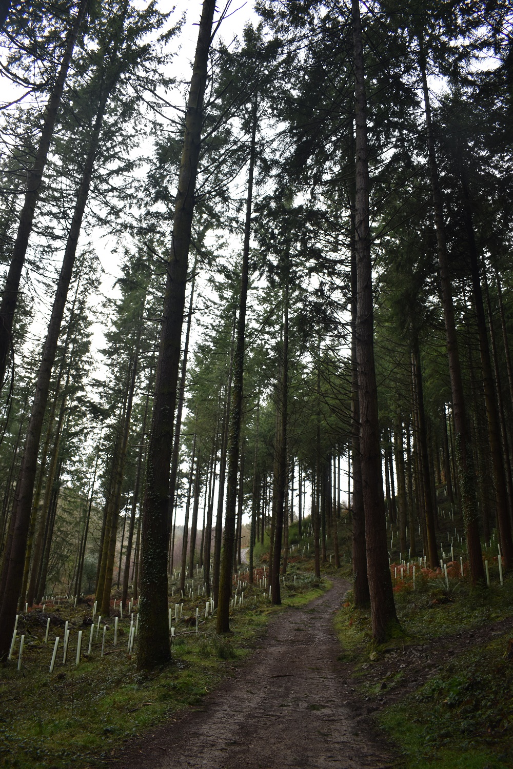
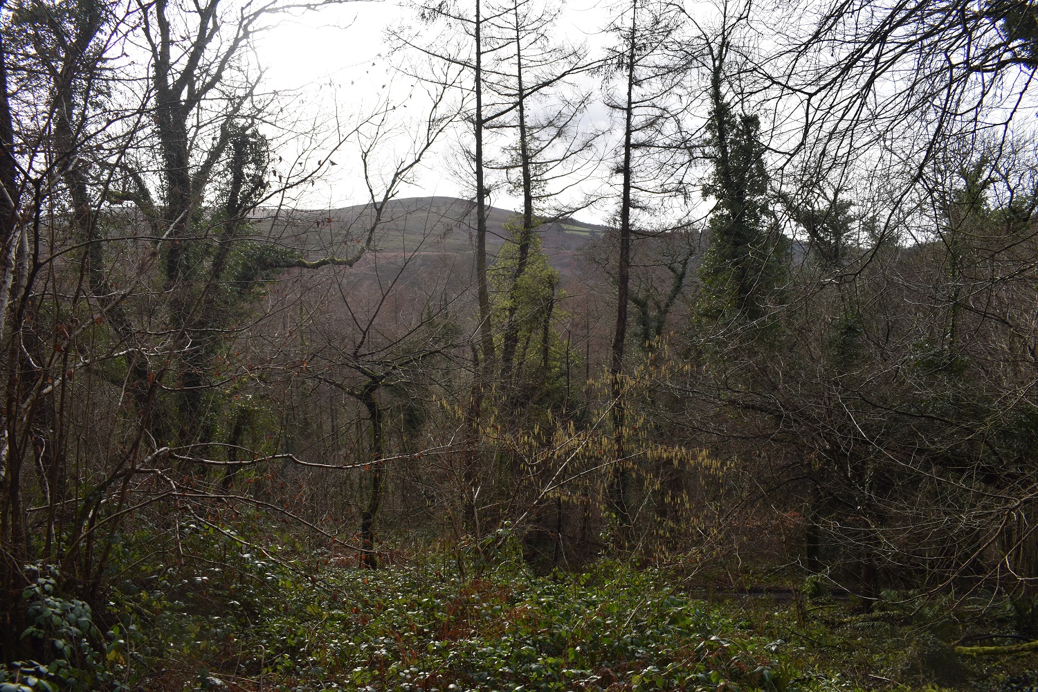
Through the tall fir trees

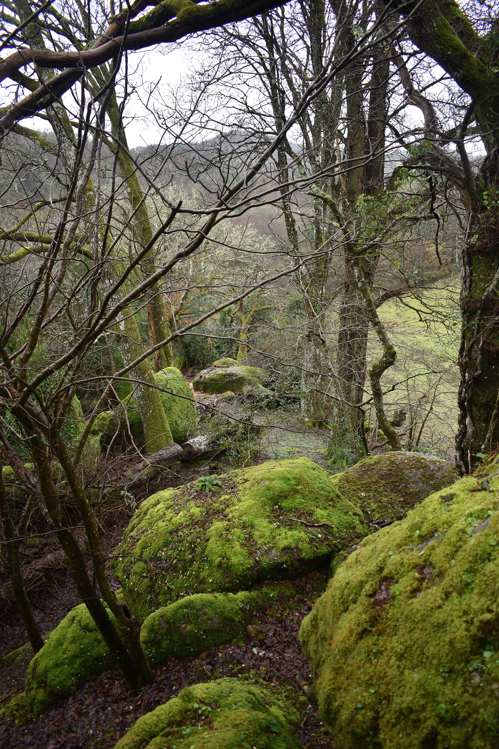
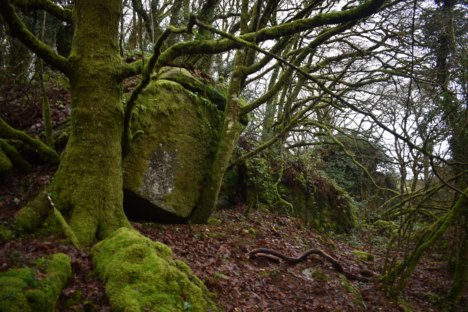
Water Rock. William Crossing mentioned this rock as a standout marker on this side of the Lustleigh Cleave. The trees now cover this place.
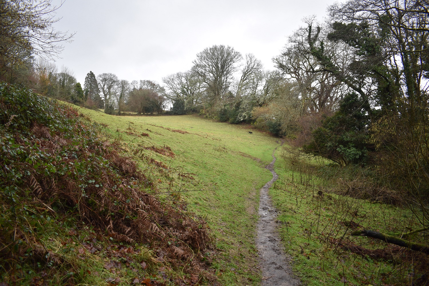
The drop down from Water Rock was pretty greasy and I was glad to be down here at Lustleigh Clam
The last part of the walk was slightly uphill to start from the Clam Bridge before around the side of Sharpitor to Hammerslake Tor.
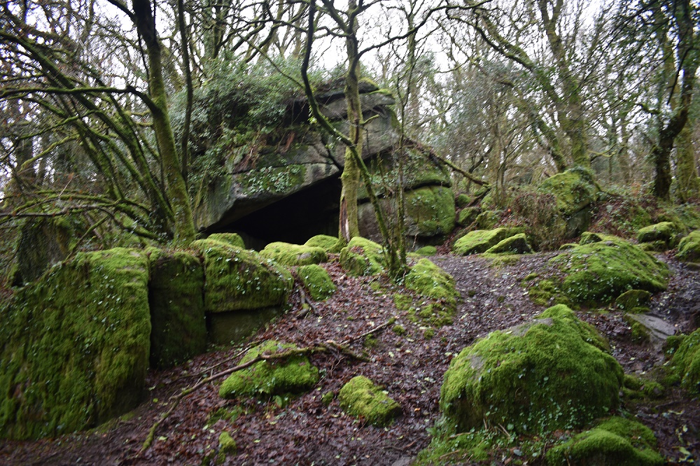
The cave of Hammerslake Tor. Its just a short walk back down the hill to the car. A fine walk on a nice January afternoon


Looks such an atmospheric walk with all the boulders, tors , pack horse bridges and green Moss. I have visited the bowder stone in the Lakes and a boulder on the lancs/Yorkshire border called The Great Stone of Four Stones. I like the name Parsons brown loaf the best though. 🙂
LikeLike
There are some fine names on Dartmoor, Branscombe’s Loaf follows the naming convention of Parsons. But some of the tors are just as impressive, Virtuous Lady Crags and Twizzle Tree Tor both make me giggle
LikeLiked by 1 person
🙂 Haha. Love them.
LikeLike
Nice post, Steve, and nice to see these outcrops’ names being used as well as visited. I’m glad you found Water Rock; I am still yet to visit! In the image of the Lustleigh War Memorial, you can spot Lower Mapstone in the background to the left which resides in a field. ATB Max.
LikeLiked by 1 person
I wanted to extend this walk a bit further through to Neadon Cleave but as is my way recently I didn’t get out of bed very early and ended up starting after midday. Water Rock was pretty good but I preferred Parsons Brown Loaf, a fine lump of rock right by the road!!
LikeLiked by 1 person
Lovely photos i love the moss on the rocks and trees.
LikeLike
I rather like the idea of having my own Granite Tor and boulders in the garden!
LikeLiked by 1 person
Some of them are huge, but the advantage is the fact that the gardens are pretty large as well
LikeLiked by 1 person