This was day 2 of Storm Dennis, I was eagerly keeping an eye on the weather reports, which mostly said that the rain would stop about 2pm and the wind would be reasonable by midday. I don’t mind a wet start to a walk as long as I finish in the dry with time to dry off most things before the end. I’d timed it pretty well by starting the walk at 1pm, however to get there I’d run the gauntlet. Rule number one of driving through puddles, is know how deep they are and don’t drive through them if in doubt. Well I was heading up the A382 following a 4×4, just after Wray Barton, at the section where the old railway line crosses the road twice, when I hit water. The 4×4 in front carried on and I hesitated, they went for it. It was deep, maybe 50cm, a car coming the other way had broken down and I looked beyond it to see about another 200 metres of deep water. I weaved and kept my speed constant, found higher parts of the road and got lucky. Very, very lucky. I pulled up at Blackingstone Rock with my heart still pumping in my mouth. I was glad to get walking and along the long steady road to Heltor Rock. Needless to say I went home along a higher road past the 3 reservoirs and down to Slade Cross! This is a good walk, not too far, mostly on quiet lanes with a short section over a lower part of Mardon Down. you could easily stay higher on Mardon Down if you wanted to make the walk a little longer. The rocks and tors along the lower part of Mardon Down are decent, with some good views to the higher points of Haytor and Hound Tor in Dartmoor proper. It was lovely to finish in some sunshine as well as we’ve had enough of these storms now.
Parking by Blackingstone Rock, I’d waited all weekend for Storm Dennis to pass and the forecast had it stopping raining at about 2pm
Muddy fields as I look across towards Kennick
The road to Heltor and the tree tunnel
Heltor Rock appears
The rain was still falling at this point so the lens was a little smudged
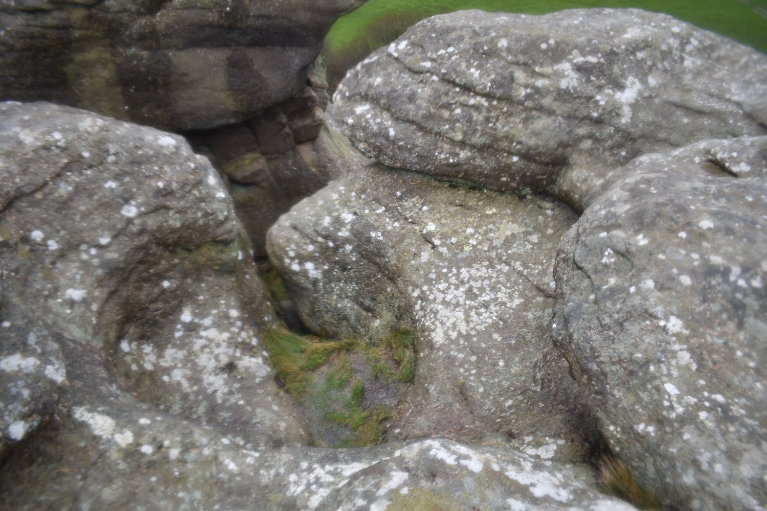
A huge rock basin on Heltor Rock, the water has eventually worn its way through and out of the side
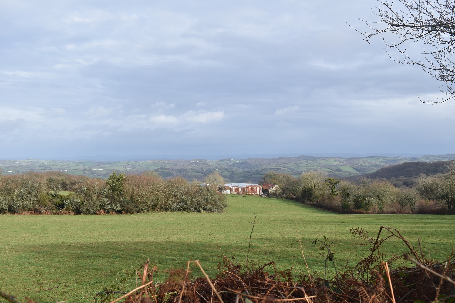
The rain has nearly stopped here and the views to the eastern part of Devon start to lengthen
The tors on Wood Hill would normally be in a wood of fir trees. However these have been removed, opening the views across to Mardon Down. The native trees are still around the edge of this section and in fact they dominate this hillside still.
As with the photo above, this is Wood Hill Higher Tor
With Wood Hill Lower Tor just down the hill slightly
Wood Hill Lower Tor from the road
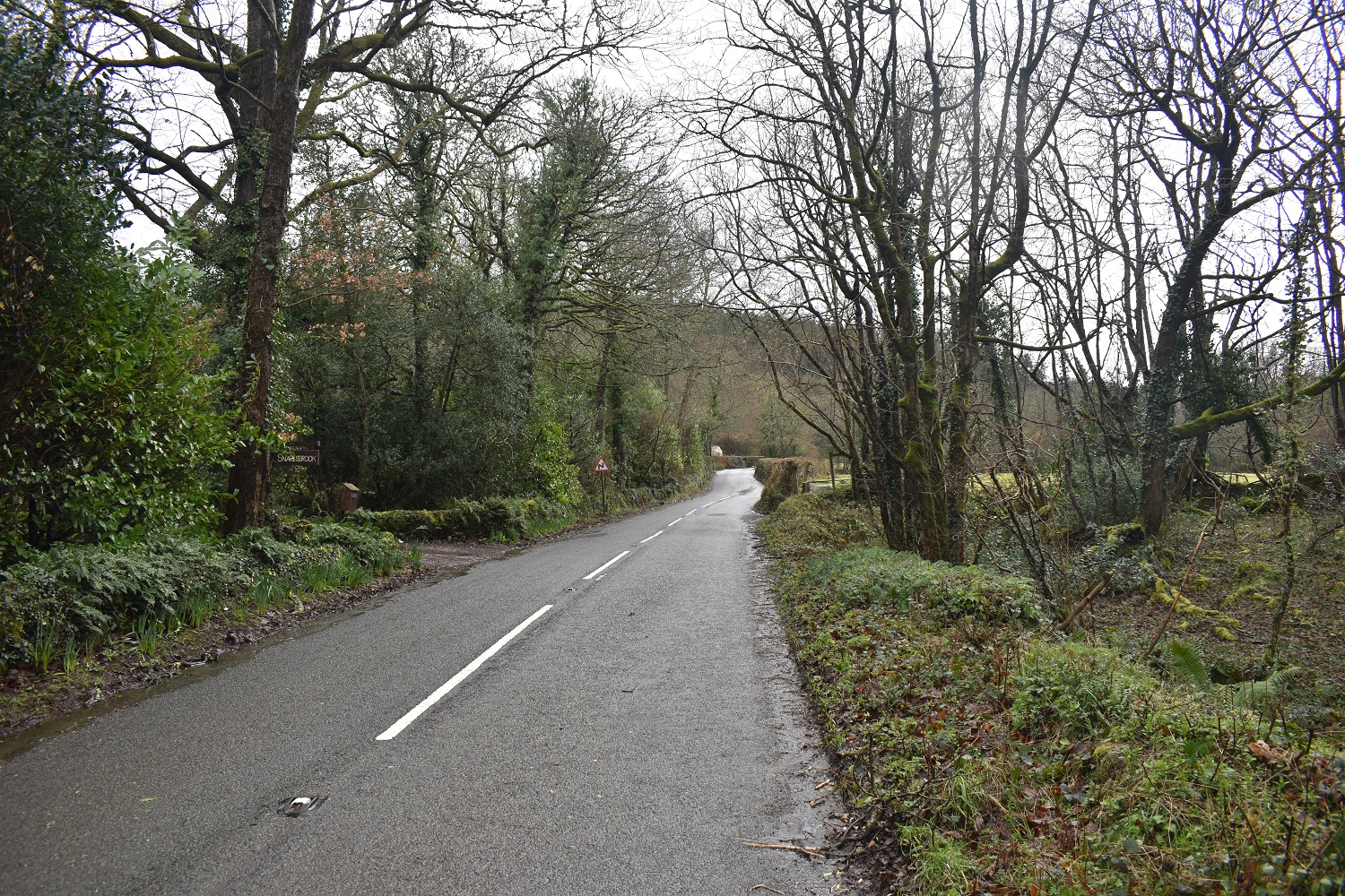
The B3212, I’m turning right at the fingerpost sign ahead
Snaresbrook, which was running high today, (as were all the streams, brooks and rivers). I had to use the fence to the left here to slide across
Climbing up into Woodcock Wood and looking back across to the Wood Hill tors
The smaller rocks below Woodcock Wood Tor
Woodcock Wood Tor and the path
A fixer upper??!!
The sun is out now and the long distance views start to look better as I follow the grassy lonning up to Mardon Down
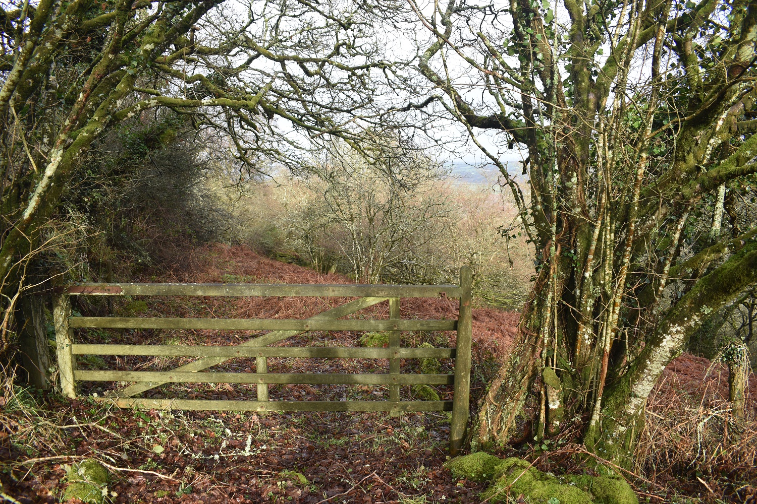
As I missed the path just below the fixer upper barn it meant that to get to Leign Valley Tor I had to get to this gate. This meant a left turn as I reached Mardon Down following the path into the corner. It was then through the gate and turn left and handrail the wall
The path following the wall eventually leads to this broken gate. To my right is Leigh Valley Tor and ahead is the faint path which takes you back to the tarmac track above Leign Farm
Leigh Valley Tor, or at least the upper part of it
Heltor Rock is through the trees from Leign Valley Tor
Leign Valley Tor
The pointy silhouetted rock ahead is Doccombe Rock. To get here meant following narrow tracks through dead bracken. So not a way in during the summer months. Instead head back up the way you got to Leign Valley Tor and find the higher path that leads to the wall, which runs through Doccombe Rock
The wall and Doccombe Rock, the main path through these parts is just behind me
Stay high from Doccombe Rock, if anything climb a little to find Stacombe Tor, again there is a lot of bracken between the two so pick a high path. The view from Stacombe Tor includes Cosdon Hill away in the distance
Also views to Haytor, Hound Tor and Hameldown
A glowing thing was in the sky and clouds that were not grey, but white, had me a little confused!!
Down the path to the hamlet of Doccombe
Through the hamlet and then rather than follow the B3212 to the junction ahead here, I came along a steep uphill tree tunnel path to this point.
Across the junction and I’m now heading for the yellow house in the distance along this quiet lane
Cossick Tor, not on my list as its well into private land
You’d hardly know that Storm Dennis had powered through here 12 hours before
Lovely light on Blackingstone Rock to finish this nice little loop


I really like that last photo. The sun is catching the rock just perfectly.
LikeLiked by 1 person
That last photo was a real surprise, I came through the small wooded section and Blackingstone Rock was just golden, all lit up by the sun.
LikeLiked by 1 person