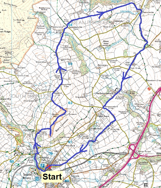
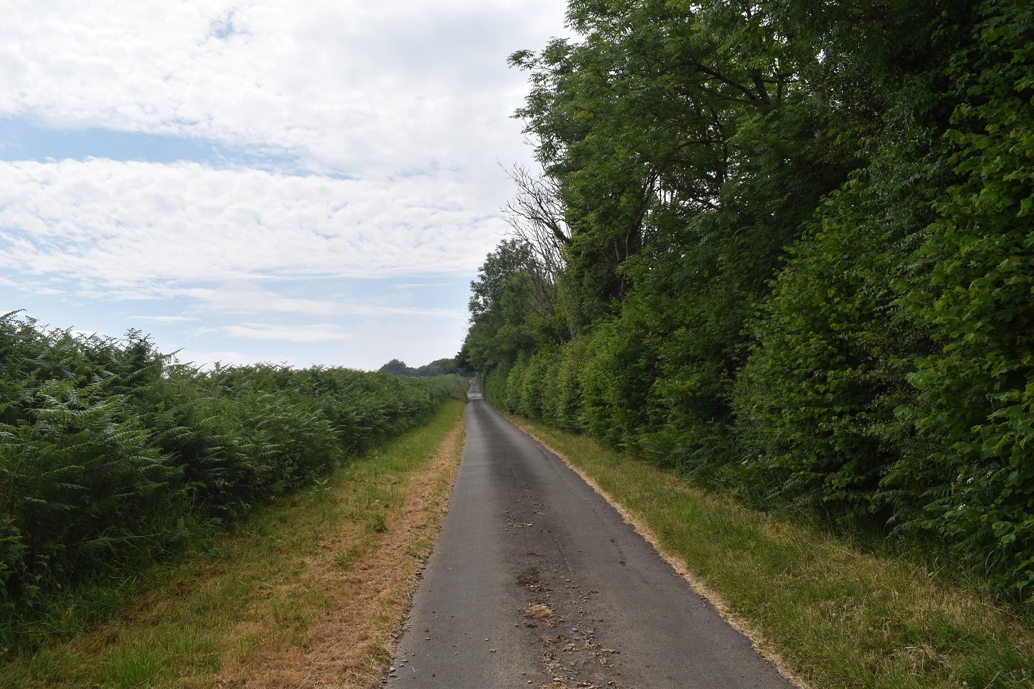
Another walk in early June, not quite the hot blistering sunshine we have had previously, this was the weeks where the weather reports forecast thunder on a regular basis. As a result I changed tack away from the high moor and chose lanes, along the southern edge of the moor. This walk is number 27 of Round 2 and passes through squares T15, T16, U15, U16, V14 and V15. This is a walk that I have done before with the exception of Forder Lane at the end, although it was more in winter and as a result the verges were less overgrown. I enjoy walking the lanes here though, they are very quiet, free from cars and people, with some nice hamlets, bridges and views into the south moor around the Avon Dam area. This walk was done in very humid weather, although no thunder came (not sure we’ve had any so far as I type this), eventually the sun came out at times near the end, meaning a hot finish to the walk.
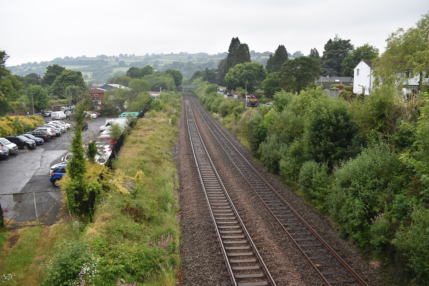
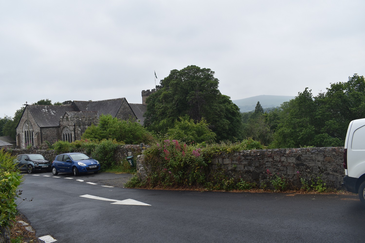
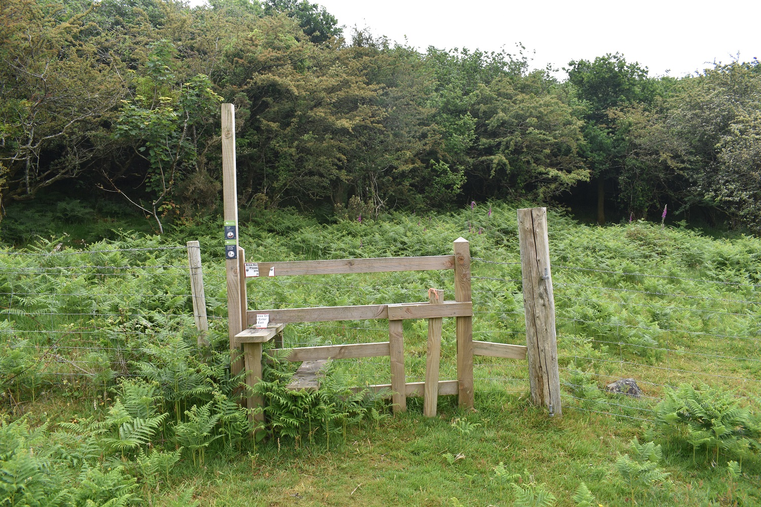
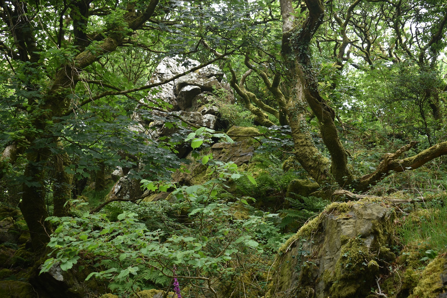
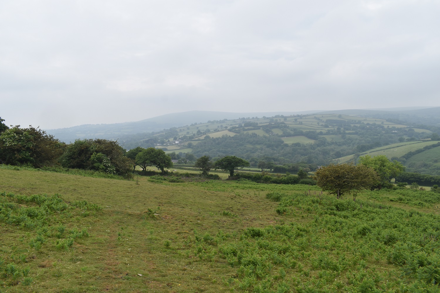
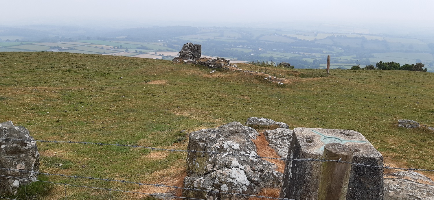
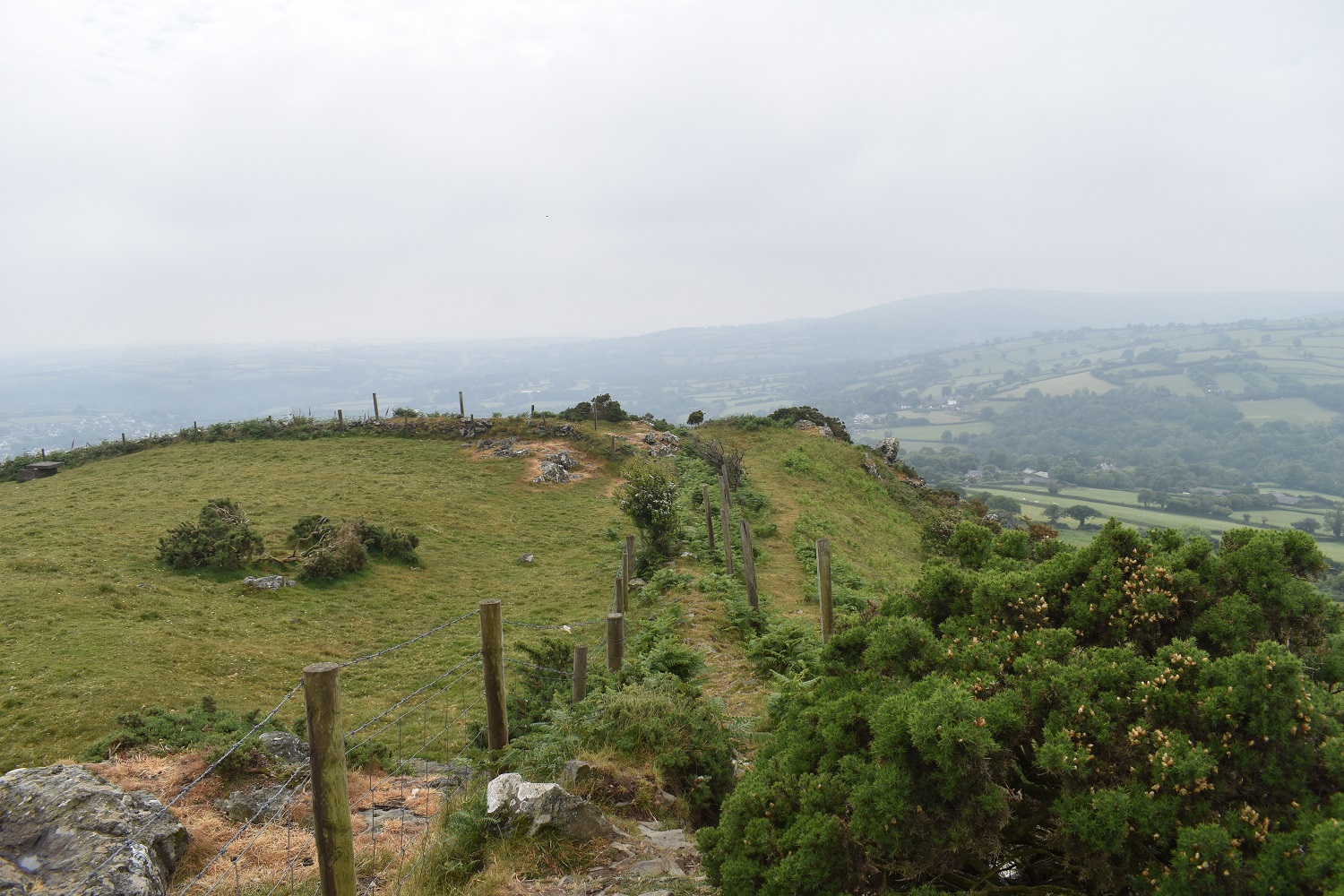
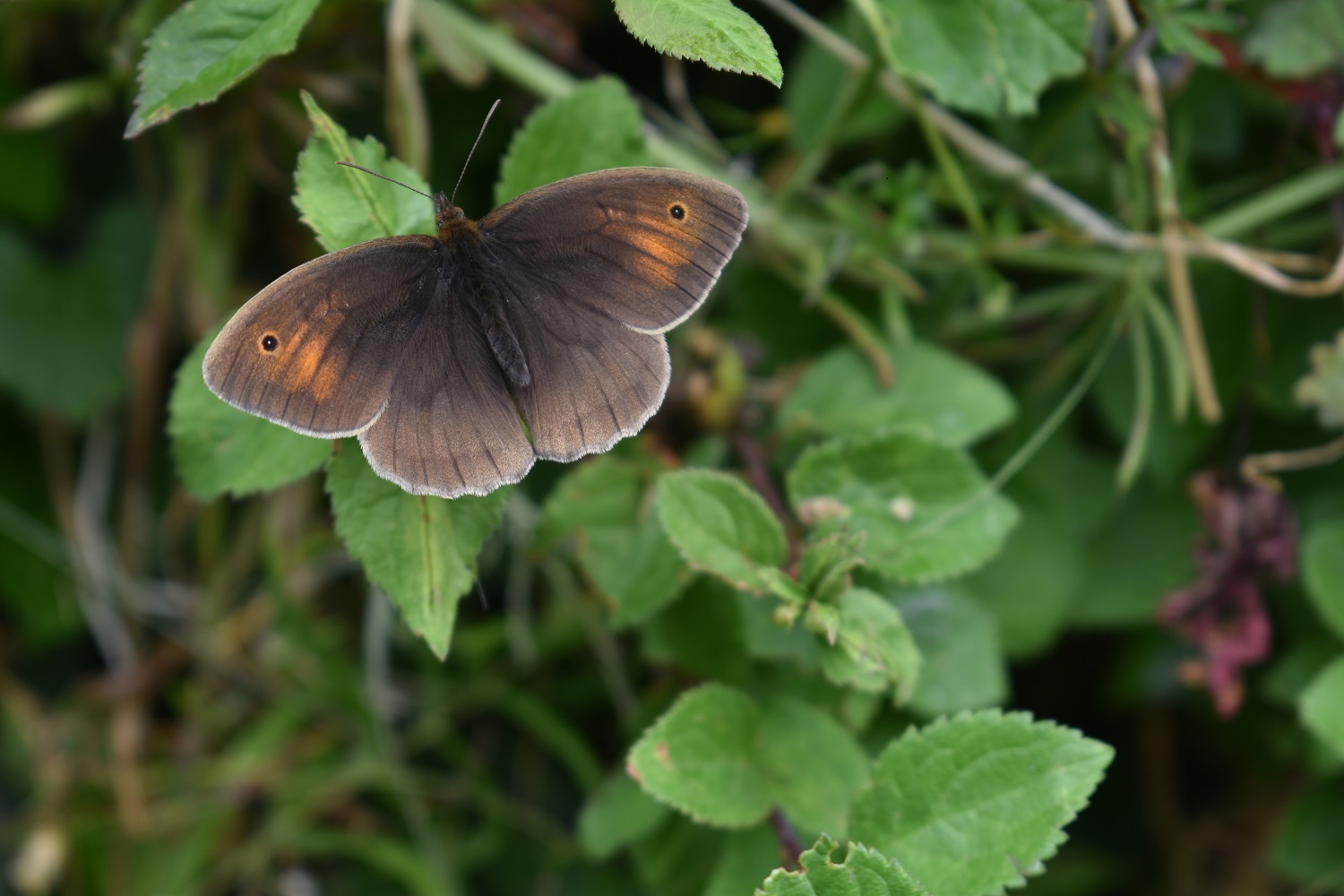
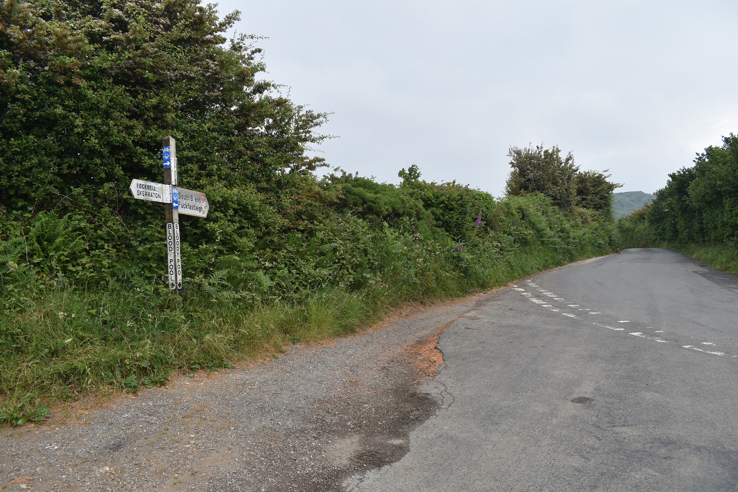
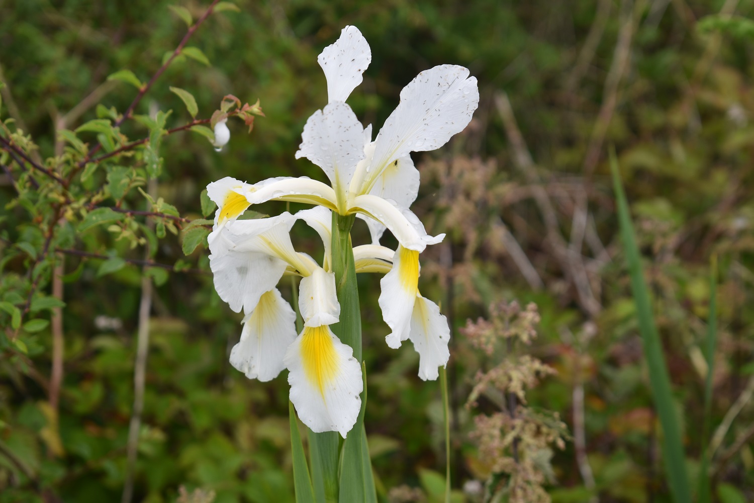
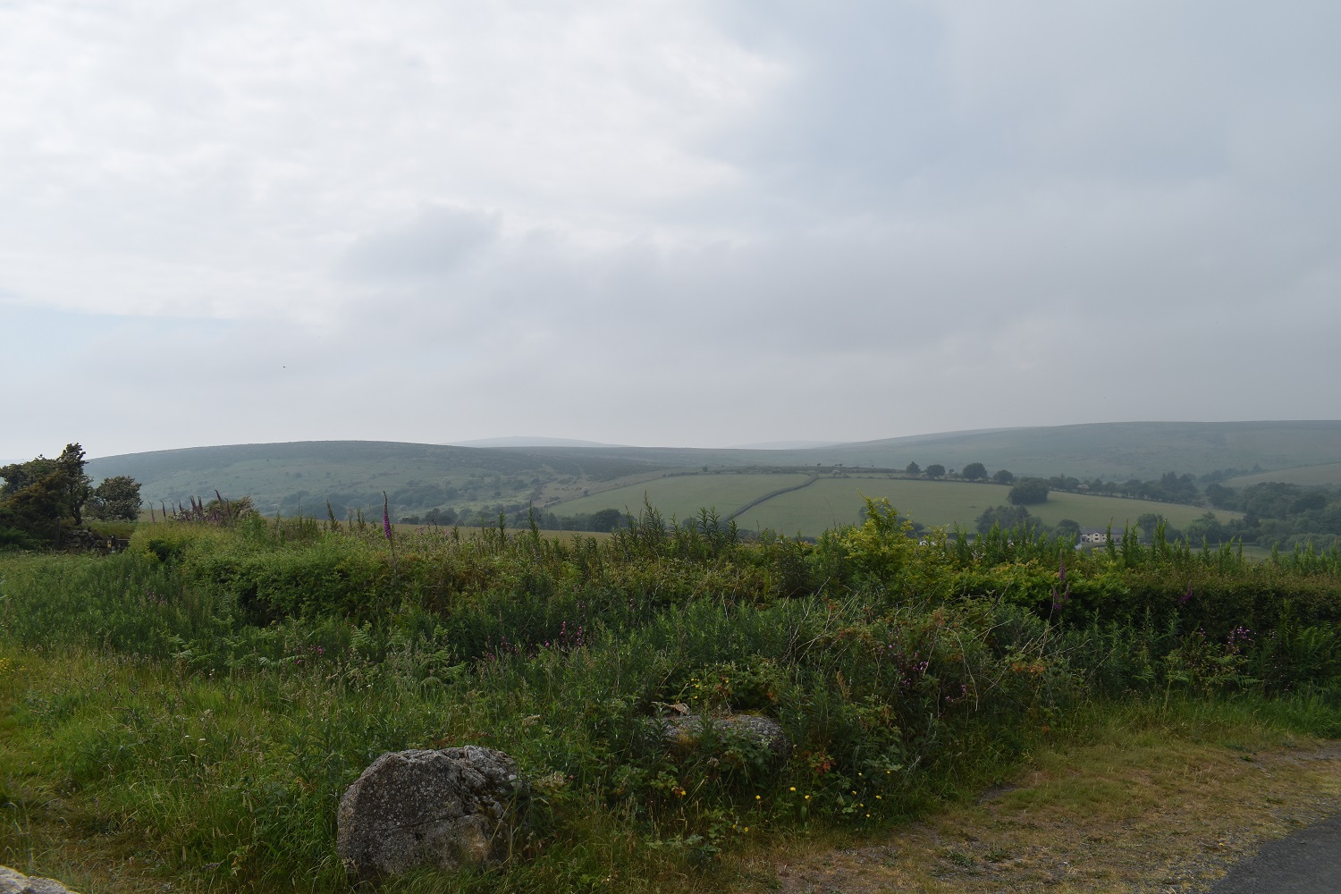
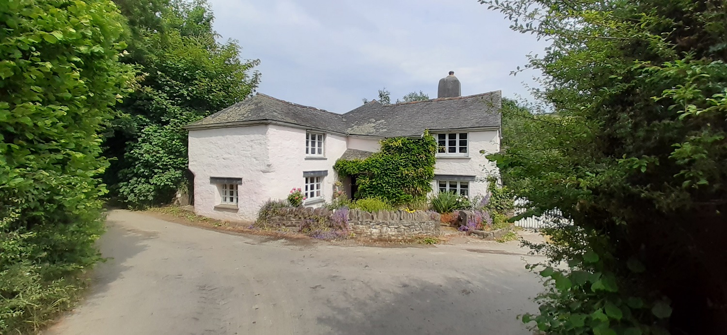
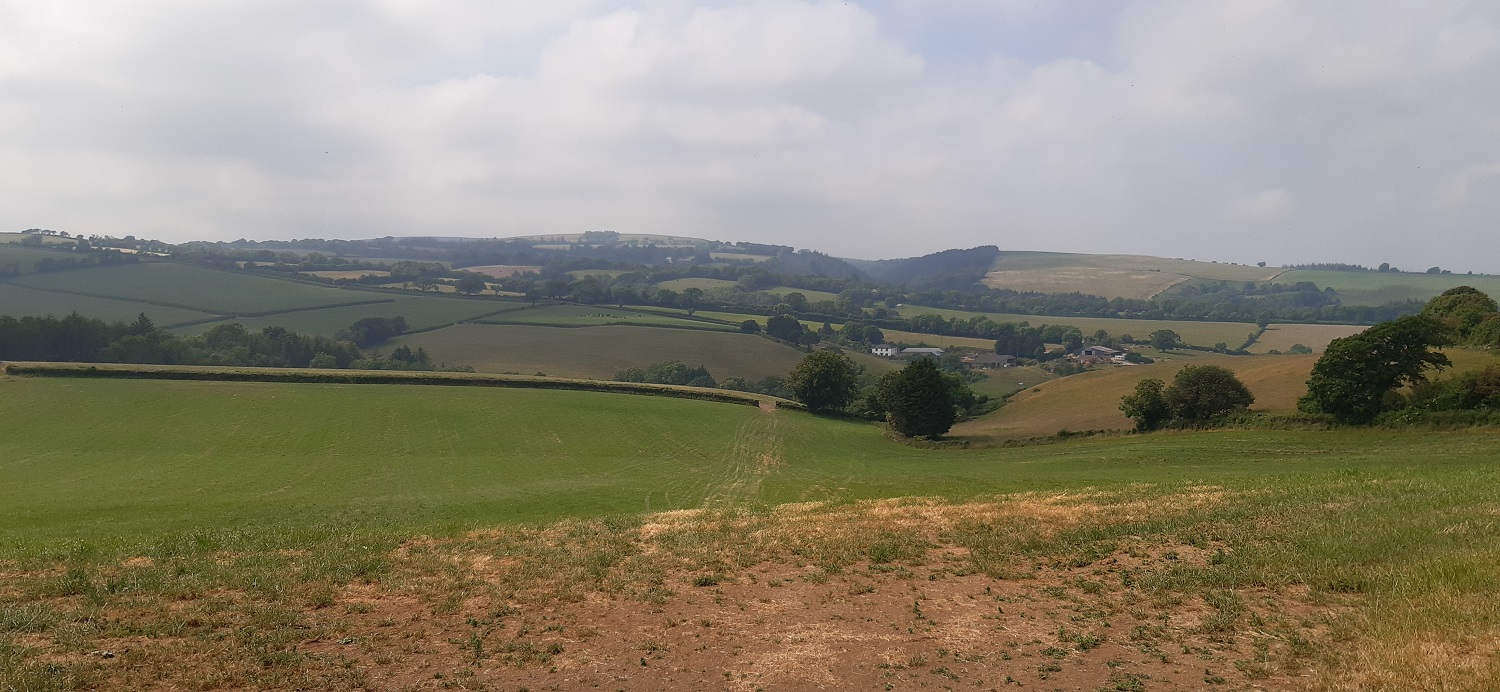
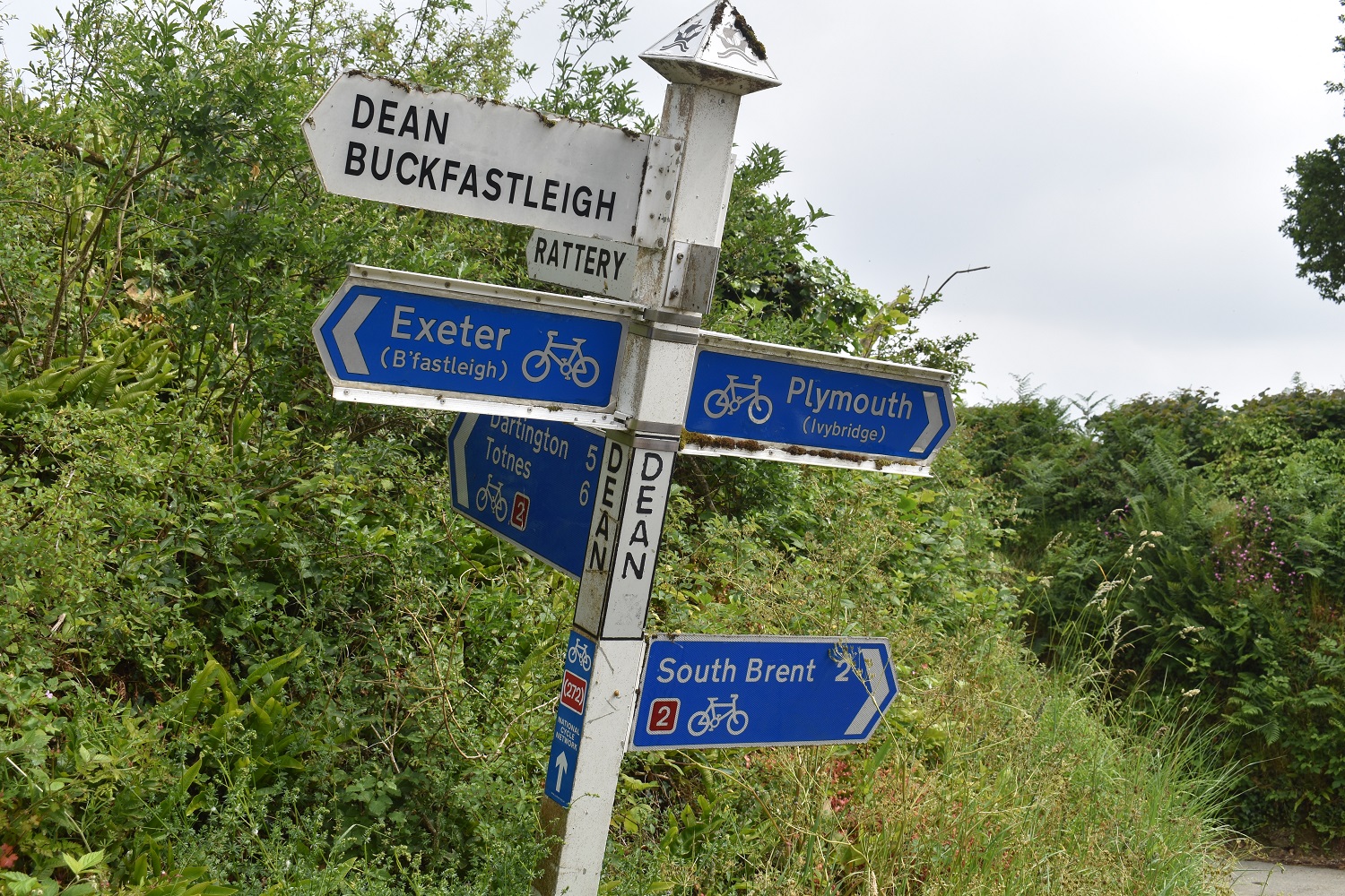
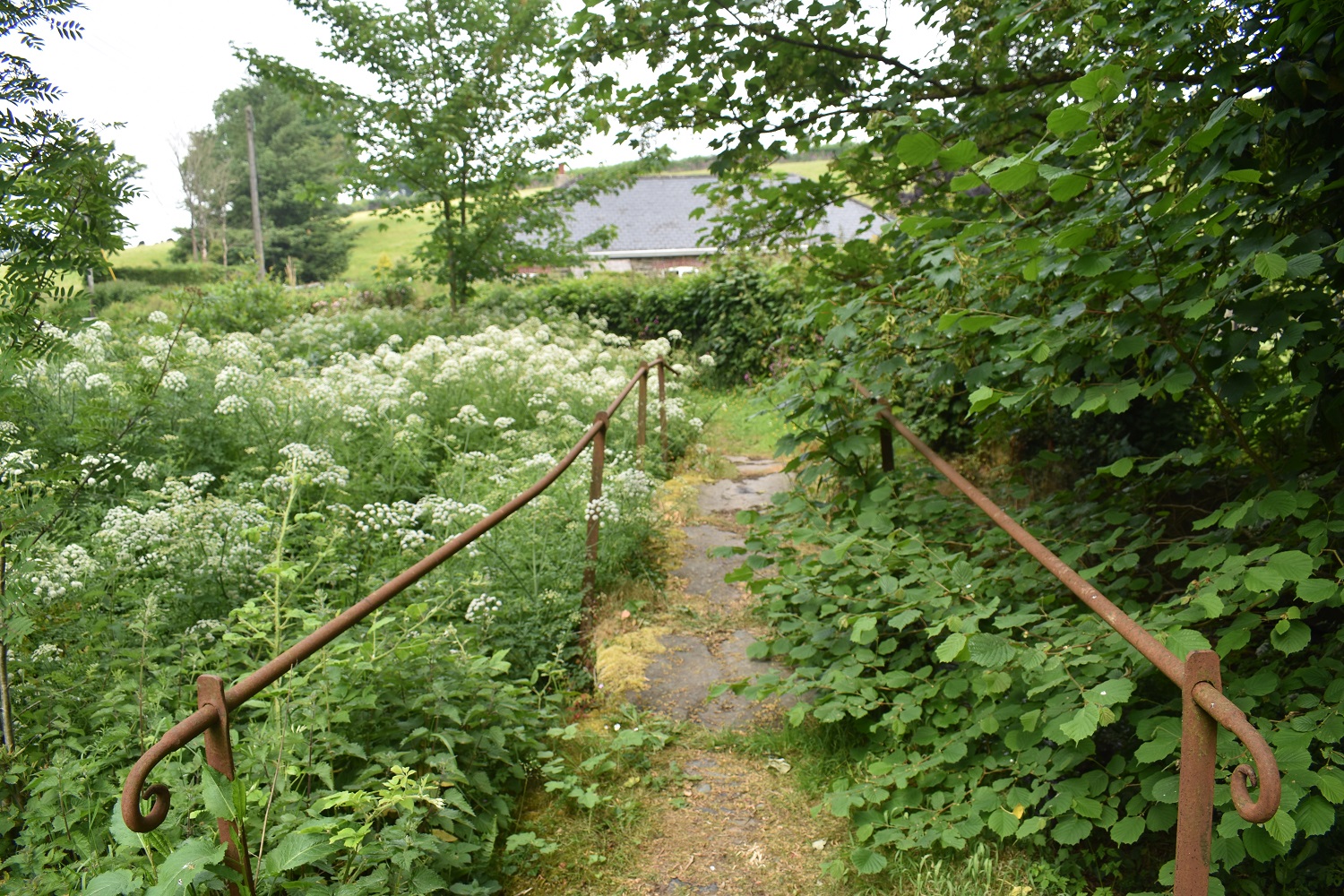
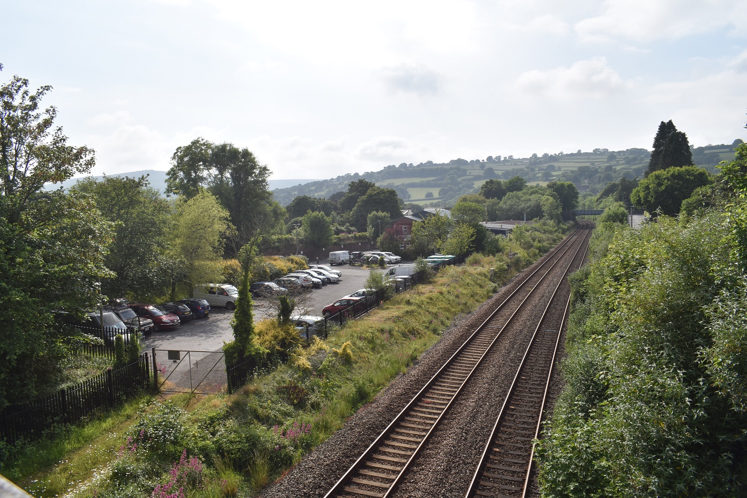
Starting out in South Brent and crossing the railway, the car park on the leftSt Petroc’s church, South Brent. That’s Ugborough Beacon at the backWe’d dropped down to the River Avon and followed its banks to Lydia Bridge, it was whilst trying to pick a way through the undergrowth that I realised why I normally walk this area more in winter or spring. Lots of trees covering the bridgeThe small waterfall the other side of Lydia BridgeStarting out towards Lutton and views up the Avon Valley are seen, thick hazy cloud means the views weren’t great todayGrippers Hill up the Avon ValleyAt Lutton we headed for Brent Hill, on reaching the woods below the hill there are a couple of tors hidden inside. This one is Underhill Tor but the thick brambles meant climbing to the rocks sticking out of the trees wasn’t possible, not in my shorts anyway!As you come up from Lutton you see this stile, over it and into the trees behind is Underhill Tor, come back to this spot and go left and up into the trees to see……Lutton Tor, this one was easier to get nearLooking back as we climb to Brent Hill, very hazyBrent Hill summit, on a good day you will see the sea across South Hams, but not todayThe hill itself is ramped up and fairly steep on all sides but at 311 metres its not difficult to get upWalking along the top edge before we drop down left and out to the lanes againLooking back up to Brent HillMeadow BrownA Dartmoor 365 square, Bloody PoolOriental Iris at the roadside, I think it was at this spot that I picked up a tick at the back of my knee, luckily I felt it that evening so it was out before it could get going on me.Views into the southern edges of Dartmoor around Dockwell RidgeSpeckled WoodWe dropped down to Gidley Bridge and crossed the River HarbourneMoor Cross, the old stone marks the place names of Totnes, Tavistock and PlymptonAs we headed for Deancombe, I look back along a very straight roadDeancombe, a hamlet of a few houses only and a farmAfter a hot long gentle climb to Dean Cross we look across green fields towards Skerraton DownDean Cross, pretty sure this post wasn’t leaning like this until they plastered it with cycling signsAnother reason to come in winter is to see Harbourneford Clapper Bridge, which was a bit overgrown on our visit this timeBrent Hill away to the right as we walk along Forder LaneWe’d walked past a few fields with slices of turf removed in sections, and then came across the explanation, a turf company.Back into South Brent now, it had got pretty warm in the sun by this point, but no sign of thunder. Another nice walk and a number of Dartmoor 365 squares ticked off
I too like the Iris. Very pretty. I like the name Lydia and the Lydia Bridge. My great gran was called Lydia, I have a god daughter called Lydia and I know a greyhound called….Lydia.
Nice looking looking little stream, Bridge and waterfall at the start. Deep enough for a swim?
Ticks! Nasty little buggers, although in all my time hiking I’ve only ever had 3 that I’m aware of which is staggering considering the amount of time I spend out in the hills
I think that’s 5 ticks for me, all in the last 2-3 years, had shorts on so I guess I was asking for it. As for the River Avon it always seems a bit low at that point near the bridge as it skips over some rocky sections, but nothing really deep enough for swimming. The River Dart is a better swimming river rather than the Avon, loads of spots along the Dart from Dartmeet before it reaches Holne Bridge


I remember a night on Brant Hill in the early 70s when we saw a moonbow.
LikeLiked by 1 person
Lovely to see that sort of thing and up there with a broken spectre as a difficult thing to come across
LikeLiked by 1 person
Great walk. The iris flower is gorgeous 😍
LikeLiked by 1 person
I too like the Iris. Very pretty. I like the name Lydia and the Lydia Bridge. My great gran was called Lydia, I have a god daughter called Lydia and I know a greyhound called….Lydia.
LikeLiked by 1 person
That’s a lot of Lydia’s. Its a very pretty bridge, higher than it is wide I reckon
LikeLiked by 1 person
Nice looking looking little stream, Bridge and waterfall at the start. Deep enough for a swim?
Ticks! Nasty little buggers, although in all my time hiking I’ve only ever had 3 that I’m aware of which is staggering considering the amount of time I spend out in the hills
LikeLiked by 1 person
I think that’s 5 ticks for me, all in the last 2-3 years, had shorts on so I guess I was asking for it. As for the River Avon it always seems a bit low at that point near the bridge as it skips over some rocky sections, but nothing really deep enough for swimming. The River Dart is a better swimming river rather than the Avon, loads of spots along the Dart from Dartmeet before it reaches Holne Bridge
LikeLiked by 1 person