Finally a sunny day in Plymouth, the forecast looked great for Dartmoor so off I went. However on the drive north along the western edge of Dartmoor, cloud loomed in my preferred walking area. My heart sank a bit and I walked for 4 hours in cloud before it cleared for the remainder to a azure blue sky and perfection. I set out today looking to get up to the high points of Dartmoor from a different direction for me. However the wind was very strong and I decided to keep down a bit. Saying that, Fordsland Ledge, my high point today, is only a few hundred metres from High Willhays and in the top 10 high points on Dartmoor. This walk basically loops around the West Okement valley, firstly along the east side then hitting the southern point of Lints Tor, before looping back along the western side. Now I don’t like the western side in the main. In fact I will happily state here that Stenga Tor is horrible. It looks like a snail from a distance and the ground around it has the consistency of a snail trail. Its grim and today took it down further in my estimation as my boot went through icy ground into thigh deep claggy mud. This is bog country and I had to crawl out and roll across to find firm ground again. Using the Bear Grylls strategy of heading back the way I came I managed to extricate myself!! The Slipper Stones offer great views, as does all this ridge, but the ground is hard work and it will be a while before I go back to Stenga Tor. I was glad for the sun all the way back as the majority of my lower clothing was wet and cold. Still this is a great walk, just pick a hot summer to do it!!
| Start – Sourton Parking |
| Route – Shelstone Tor – Vellake Corner – Black Tor – Fordsland Ledge – Lints Tor – Sandy Ford – Stenga Tor – Slipper Stones – Branscombes Loaf – Sourton Tor – Ice Factory – Sourton parking |
| Distance – 7.5 miles Start time – 10.15am Time taken – 4hrs 45mins Highest Point – Fordsland Ledge 580metres |
| Weather – Grey skies to start and then clearing to blue skies |

© Crown copyright 2017 Ordnance Survey FL 2017 SF
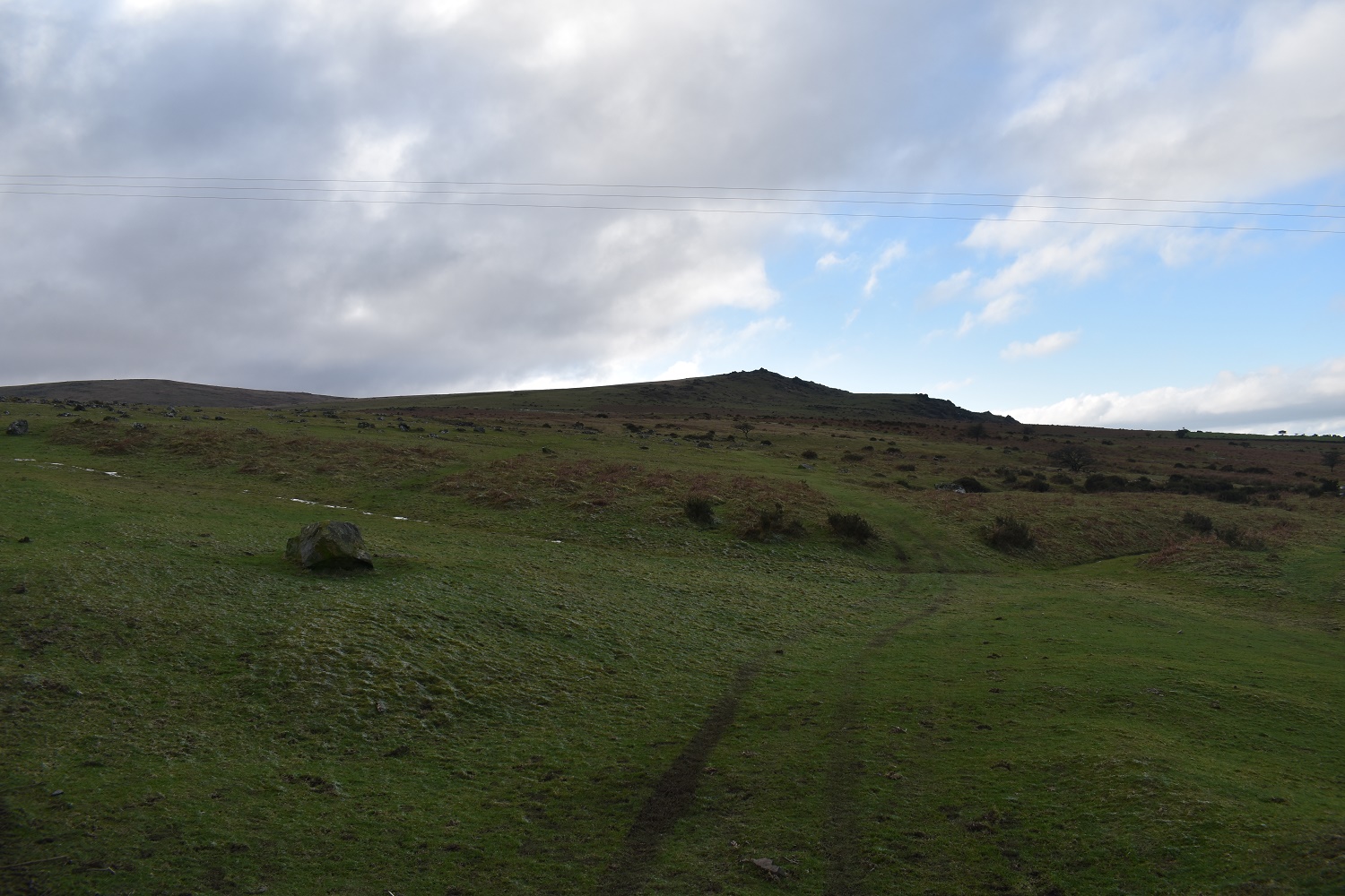
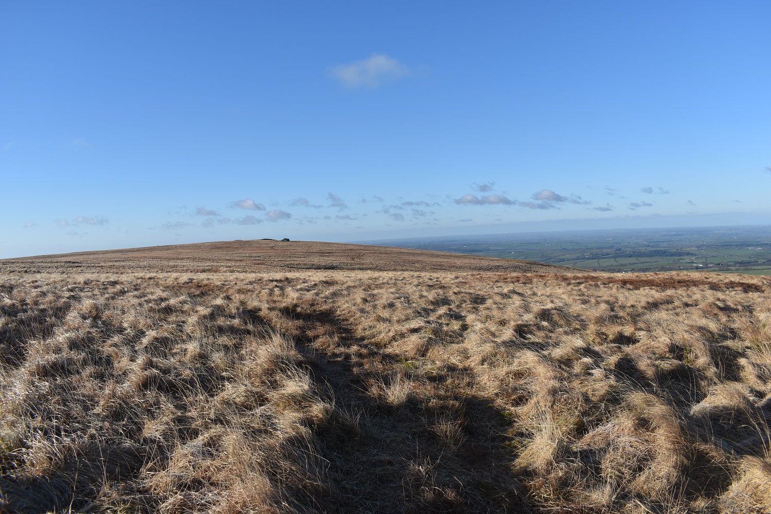
Starting out with Sourton Tor straight ahead, Branscombes Loaf to the left at the back. I am on both of those later. Compare this photo to the last one. A change in the weather
Shelstone Tor is sitting on the hill (right centre) and I’m heading there first. Yes Tor and High Willhays dominate the background
Shelstone Tor and Yes Tor in the background
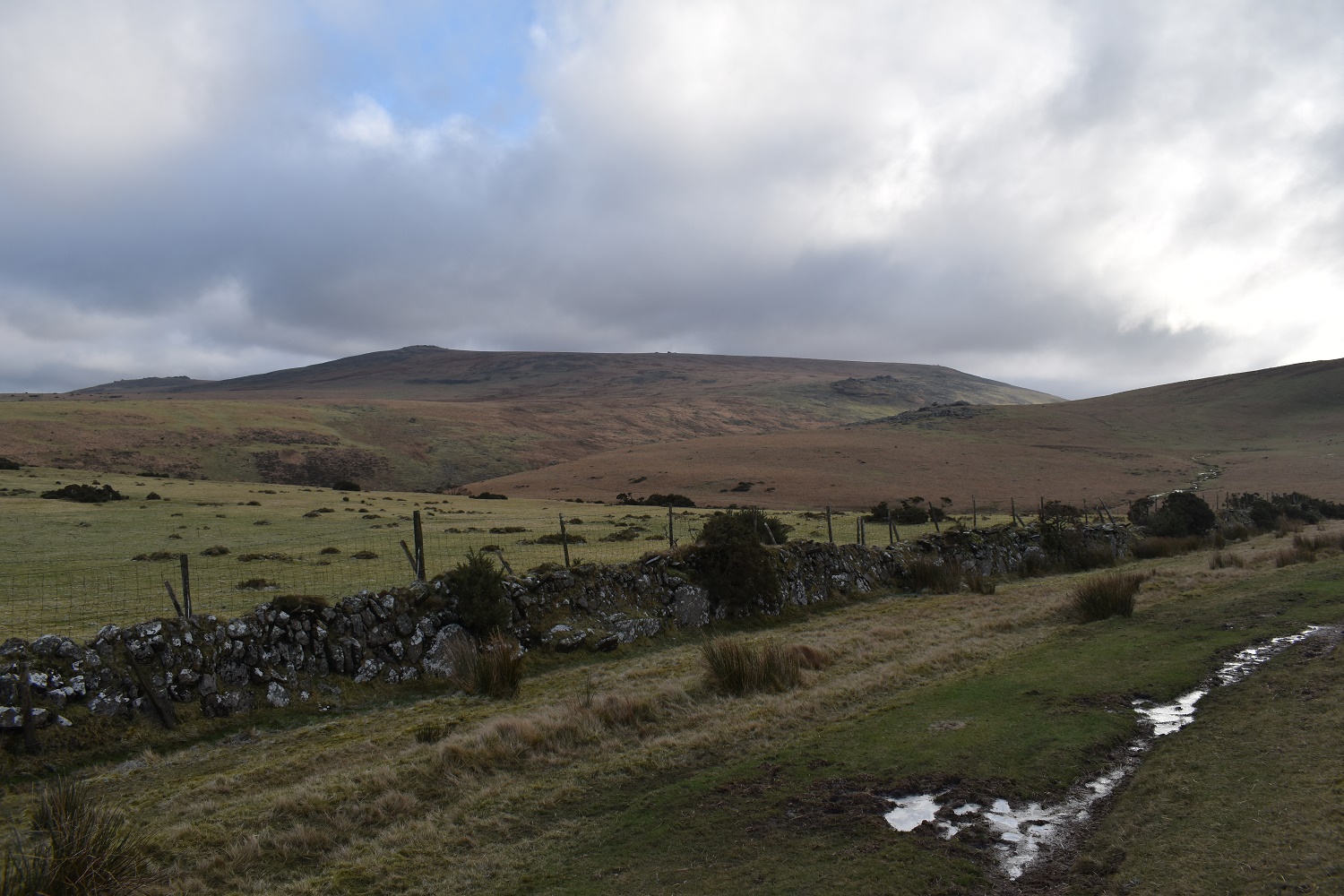
Along the West Okement valley with the Black-a-tor Copse in view

Vellake Corner is in the dip, where I am heading next as I leave Shelstone Tor

Vellake Corner and the weir is bottom right. I cross there

The weir over the West Okement river
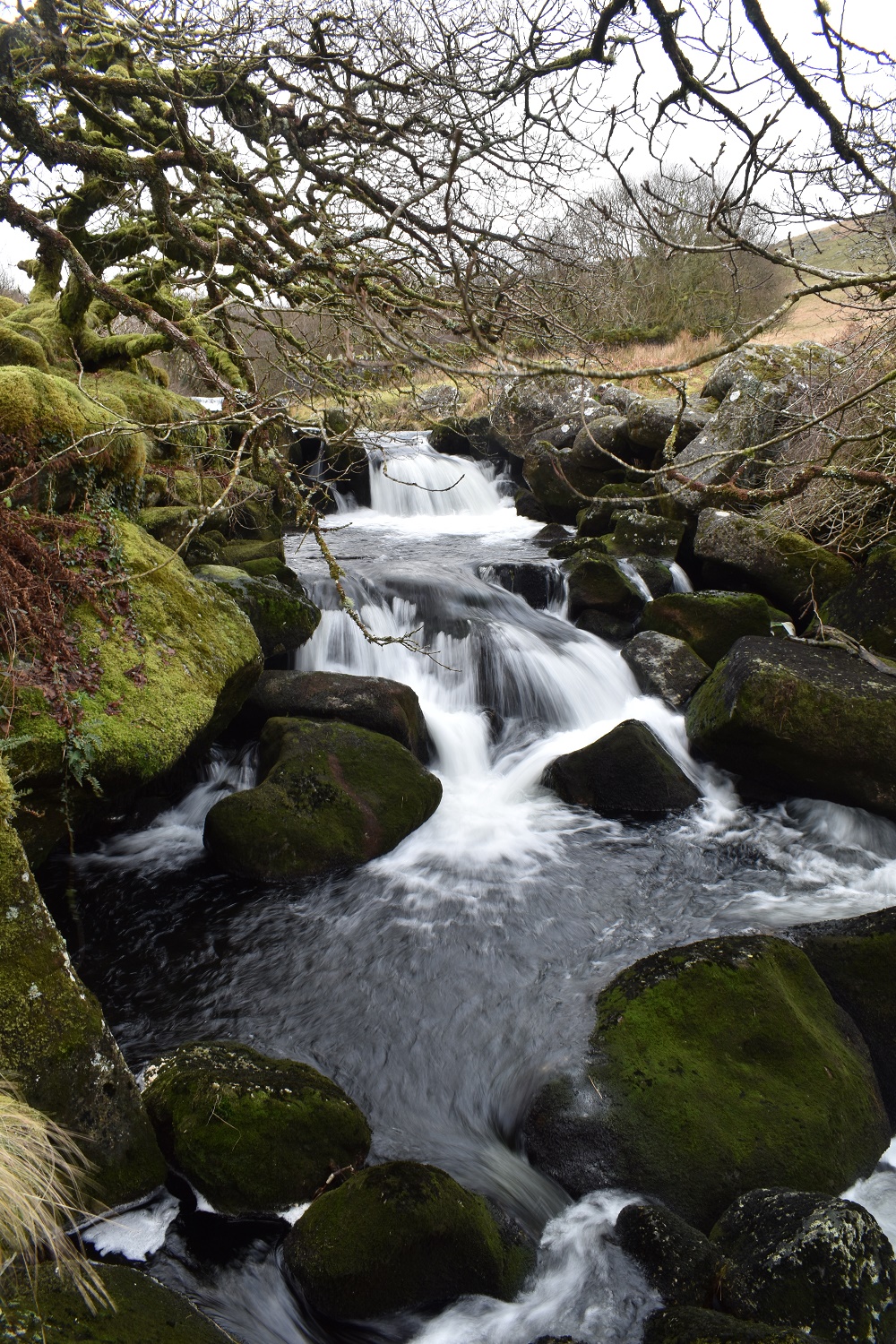
Plenty of water and waterfalls in the West Okement

On Black Tor looking down to the West Okement, with Shelstone Tor on the other side above the woods

More of Black Tor with Fordsland Ledge up to the left
Glorious views from Black Tor

Its a bit of a slog to Fordsland Ledge however these views south are worth it. My next target is down below, centre photo. Lints Tor
A sunny Black Tor is lit up from Fordsland Ledge

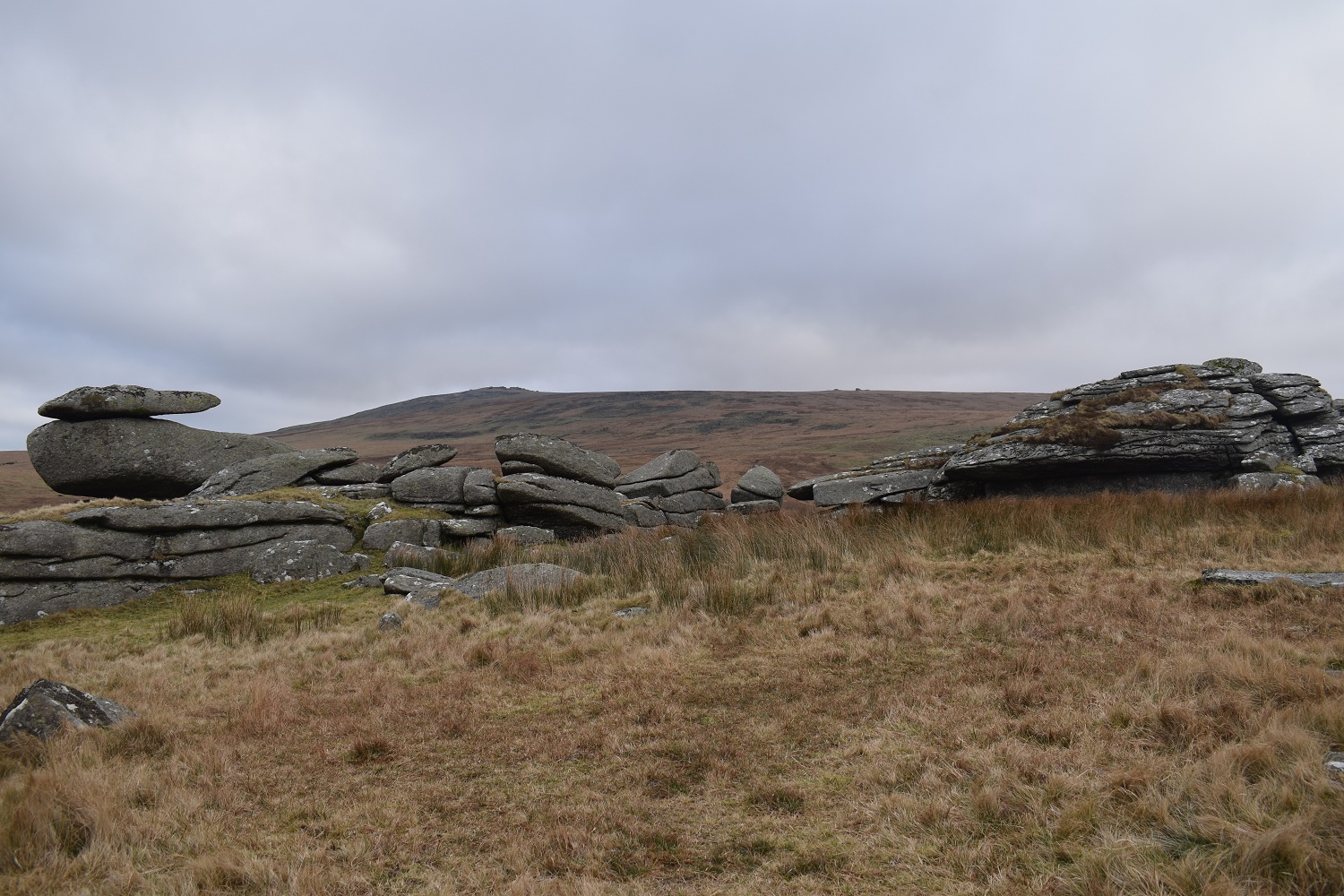
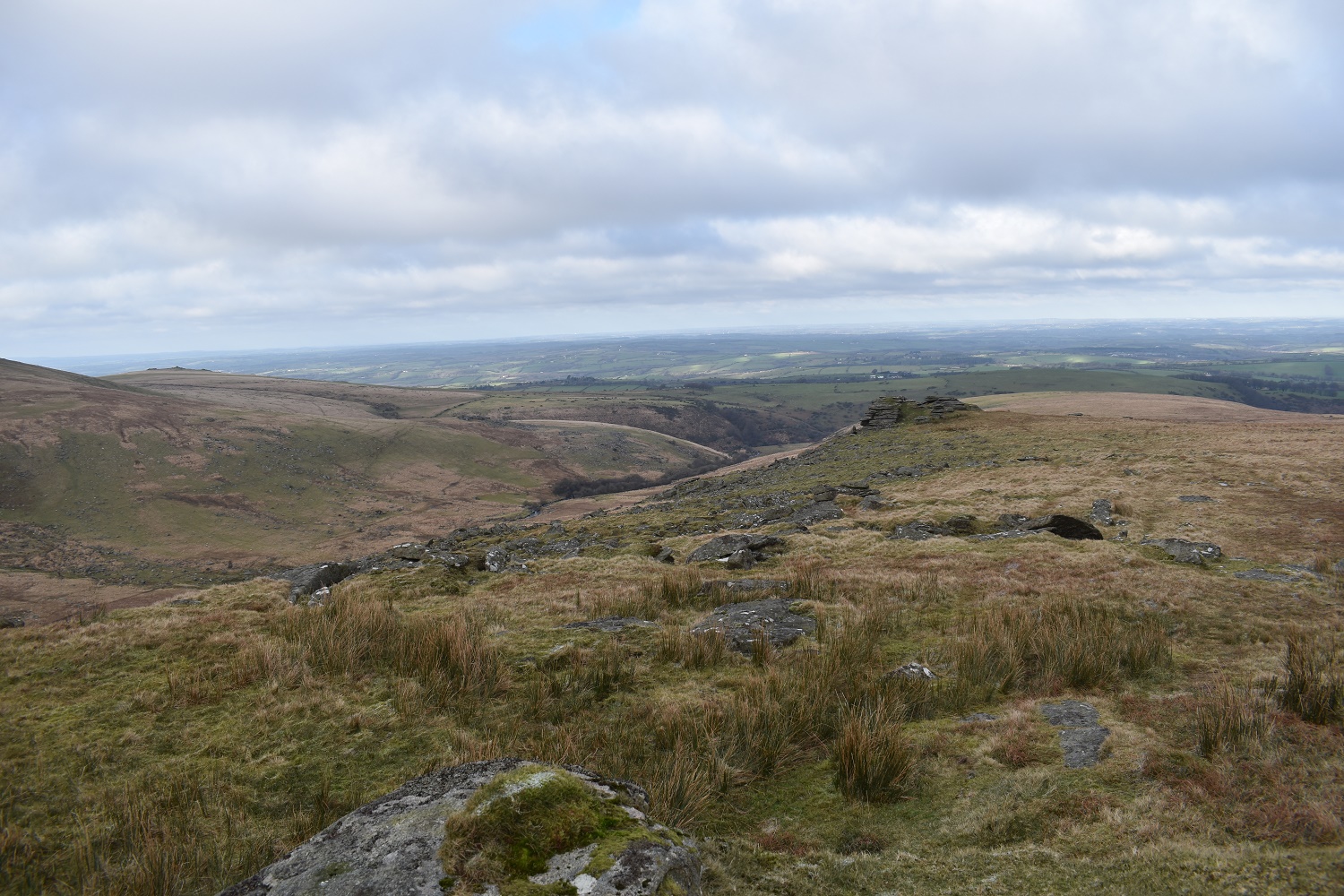
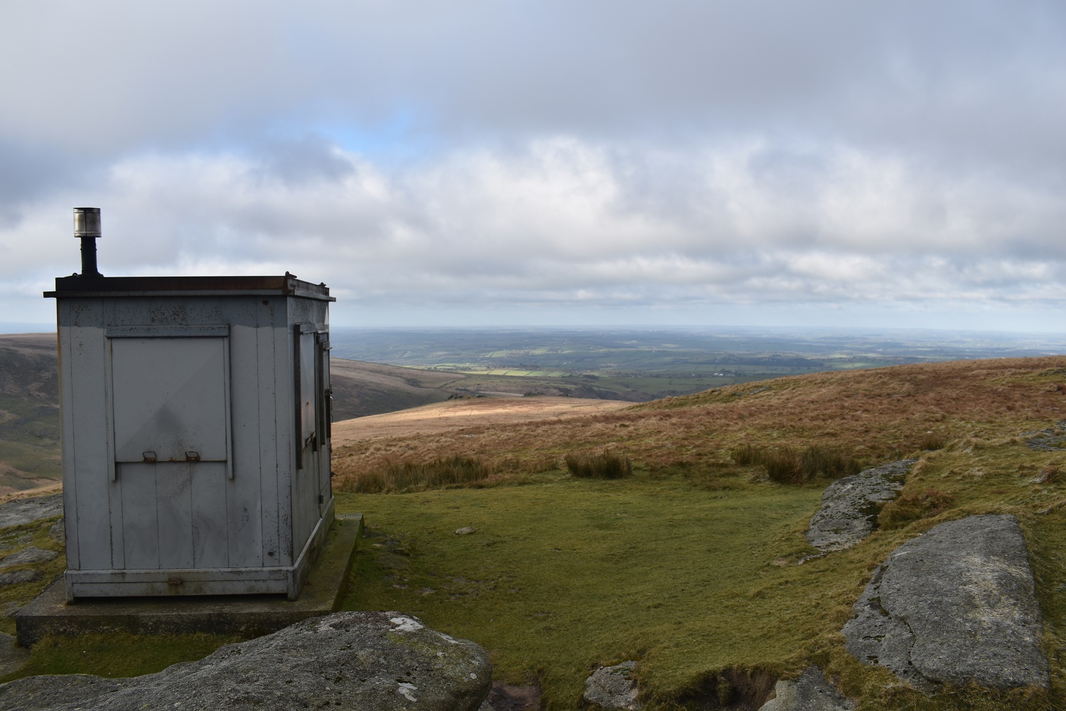
Great Links Tor pops up above the Slipper Stones. The military hut here on Fordsland Ledge can be seen for miles around in this area

On Lints Tor and looking back along the West Okement. Fordsland Ledge is on the right. I am heading up and left out of this photo
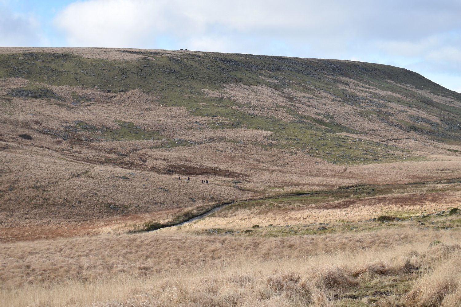
You see a line of scouts down there. They have just crossed Sandy Ford where I am heading next
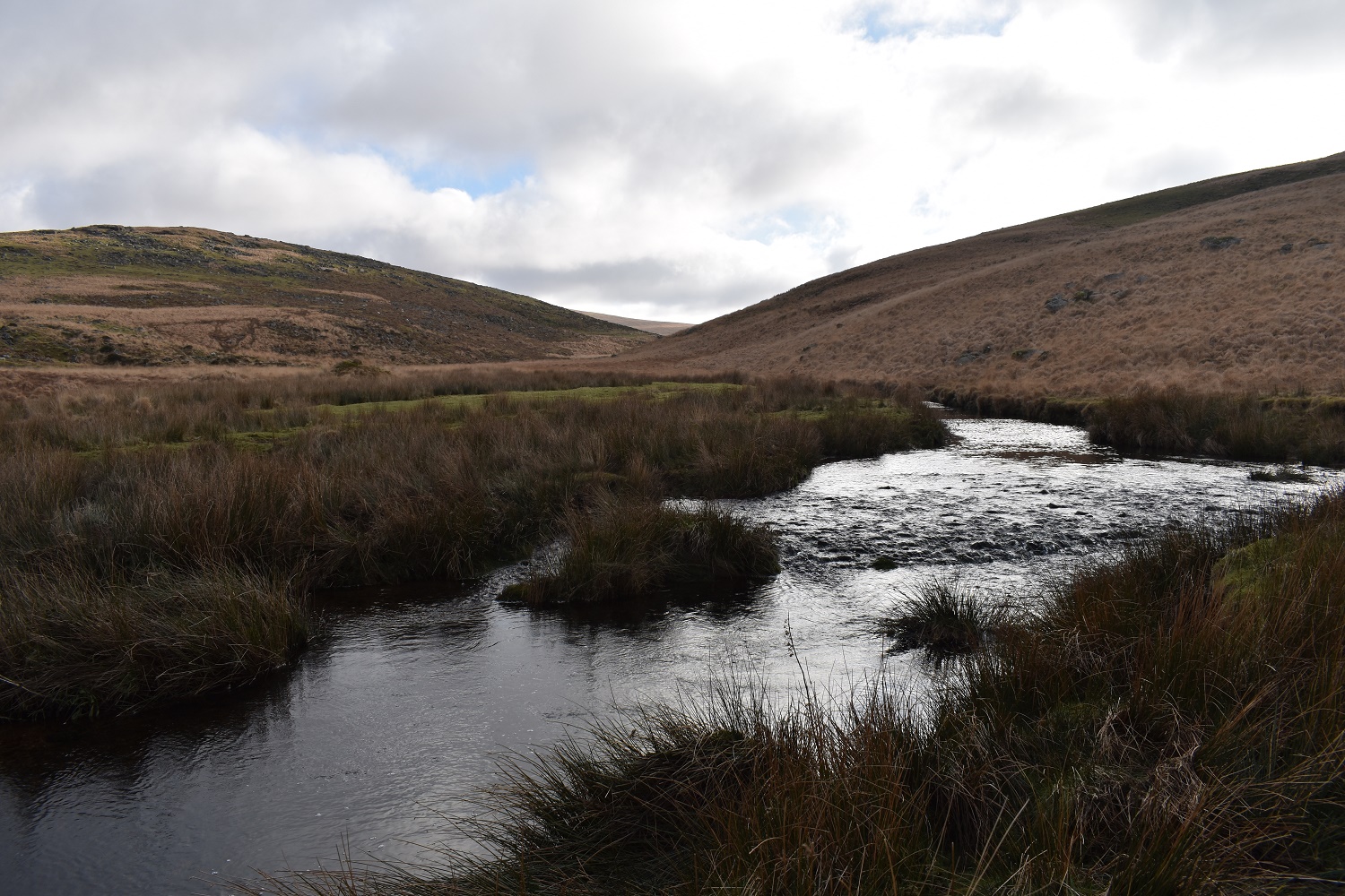
Sandy Ford with Lints Tor to the left
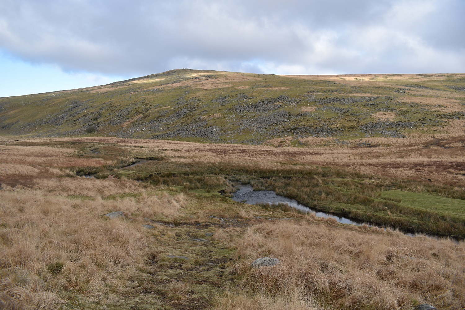
Fordsland Ledge beyond Sandy Ford. It was a damp hop across as the river was 12 inches deep in places. I was quick so stayed dry sort of

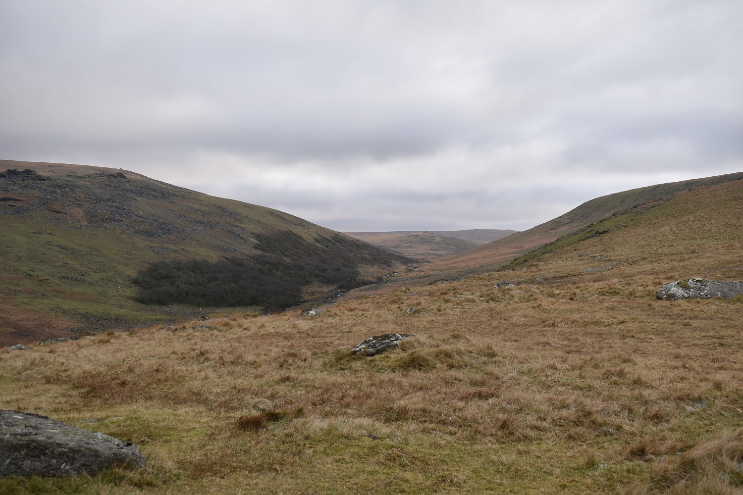
Now we are talking. The sun is out. Lints Tor to the left and Great Kneeset in the centre. Cut Hill right at the back
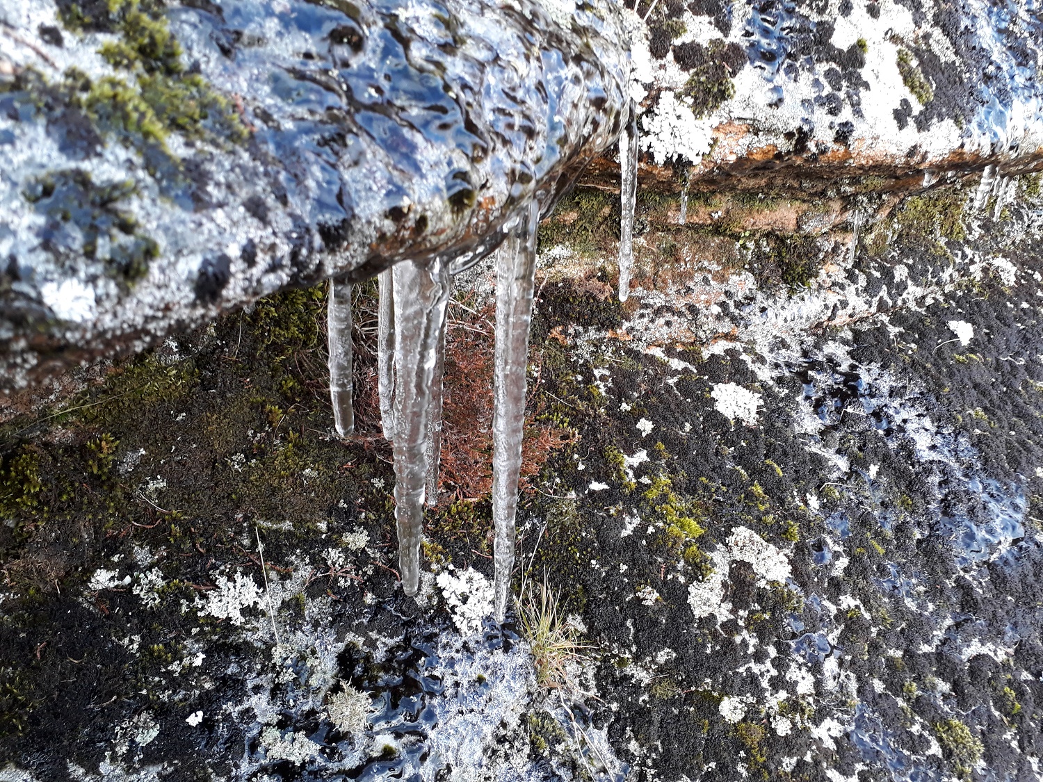
Ice. Still cold up here

Stenga Tor, not my favourite place

To be honest I just wanted to get away from Stenga Tor. The ground around here is deceptively boggy. About 5 minutes after taking this photo I was waist deep and crawling out of a bog. On at least 5 other occasions i was knee deep. Not a fun place and not marked on the maps as boggy either

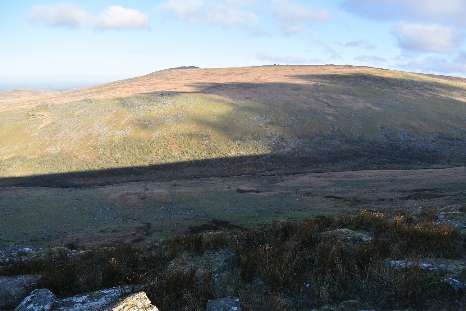
The views kept up my spirits, here along the West Okement valley as I approach the Slipper Stones
The Slipper Stones run downhill from here to nearly the valley floor. Yes Tor is in the sun opposite
Branscombes Loaf is next up. Its further than it looks here

Branscombes Loaf with High Willhays and Yes Tor beyond

Great Links Tor from Branscombes Loaf

The Loaf from the Cheese!! Click to find out moreHere

Looking down to Sourton Tor and beyond to West Devon and Cornwall

Meldon Reservoir is in view as I descend to Sourton Tor
Small drumlins (periglacial mounds) on the side of Sourton Tor. Great Nodden in the distance and a setting sun

Sourton Tor has some great views

The mighty Yes Tor is in view the other way

The Ice Factory on the side of Sourton Tor

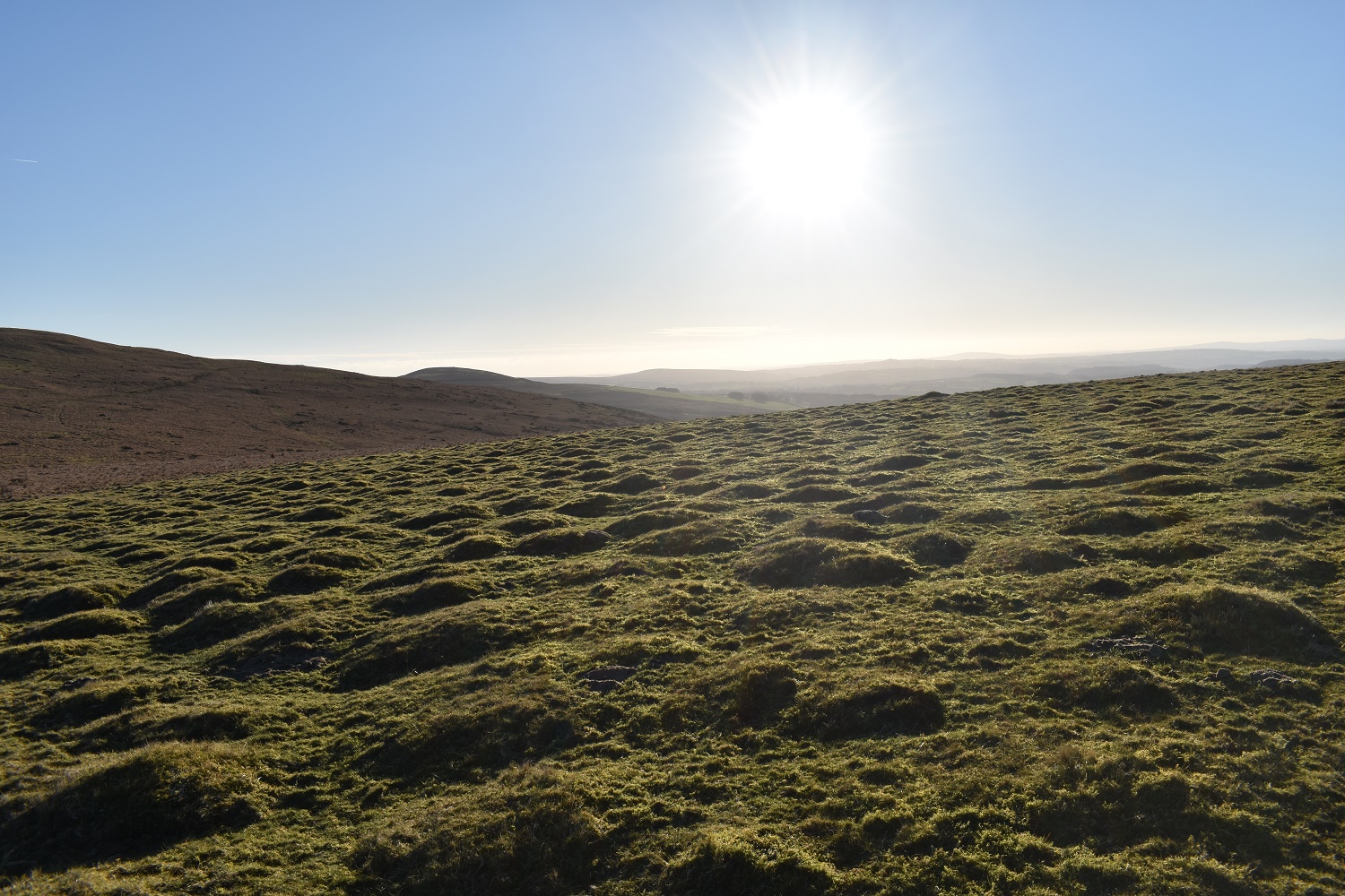
As I said compare the first photo to this. Hardly a cloud now. Great walk, apart from the bog!!


Fine walk and survival adventure all in one day! Never fun hitting a thigh deep bog, happened to me a few times in various places. One of the perils of living in a green place
LikeLiked by 1 person
Couldn’t believe it. Its not a place I would associate with boggy ground, its coming off a high plateau just as the ground starts to steepen, before falling down to the valley. Small boggy holes everywhere and I ended up crawling out. I was covered in thick black peaty mud. Glad no one smelt me!!
LikeLiked by 1 person