After last weeks walk around Ducks Pool and the Erme pits I was back in the walking spirit, the warm weather wasn’t going to put me off, plus I was trying to get some miles in my legs ready for the Lakeland fells in a week or so. Make no mistake this is a tough walking area. I found a good path to the left of Archerton Bog and handrailed the Cherrybrook up to the rock of the same name. However once at Broadown Tor you are faced with 2km of sponge walking. Now normally this area is soggy, absolutely hideous, however now 90% is dry, but its still like walking on dry sponges, and saps your energy. I got to Kit Rocks around 1pm and the heat was starting to hit at this point. It was probably around 25 degrees even at this height, I followed the East Dart, stopping to fill my hat with water and pour it on my head at every opportunity. At one stream I had a bathe and cooled off further, and having drunk over 2 litres by this point I was confident I was hydrated. Not so, as I reached Hartland Tor I could feel a bit of heat stroke coming on, I headed down again to the East Dart, behind Hartland House and got out of the sun for 15 minutes in the trees, just sitting there pouring cool water over me.
I felt better at this point and having taken on another litre of water I strode into Postbridge for an ice cream. Not wanting to make myself bad again I decided I would walk back to the car through Bellever forest via Lakehead Hill, in order to stay in the shade more, rather than the open road walk. A wise move as this is a nice end to the walk.
| Start – Higher Cherrybrook parking |
| Route – Arch Tor – Archerton bog – Cherrybrook Rocks – Broadown Tor – Flat Tor – Kit Rocks – Kit Steps – Broada Stones – Sandy Hole Pass – Sandy Hole Rocks – East Dart Waterfall – Beehive – Hartland Tor – Postbridge – Lakehead Hill – Lych Way |
| Distance – 10 miles Start time – 10am Time taken – 6hrs Highest Point – Flat Tor 539metres |
| Weather – Sunny and lots of blue skies and pretty hot temperatures |

© Crown copyright 2018 Ordnance Survey FL 2018 SF
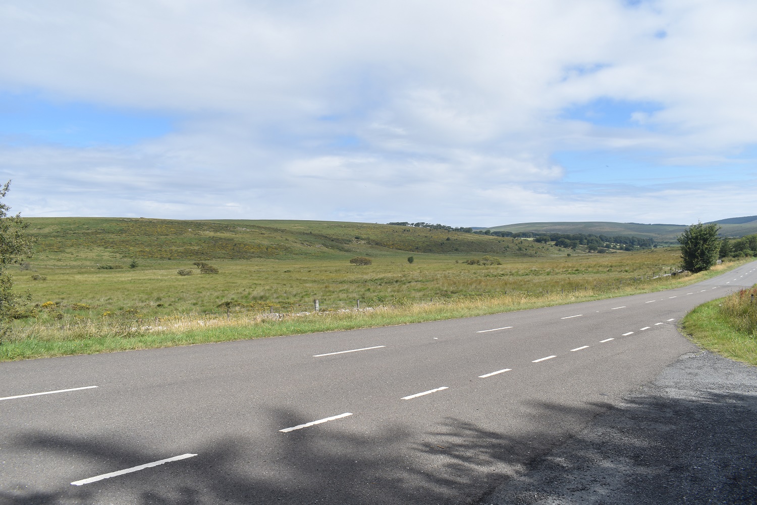
Roadside parking and looking across to Arch Tor
About 15 minutes later I’m up here on Arch Tor, there’s a nice breeze but you can tell its going to get warmer. That’s Bellever Forest over there and Hameldown is the flat ridge in the distance
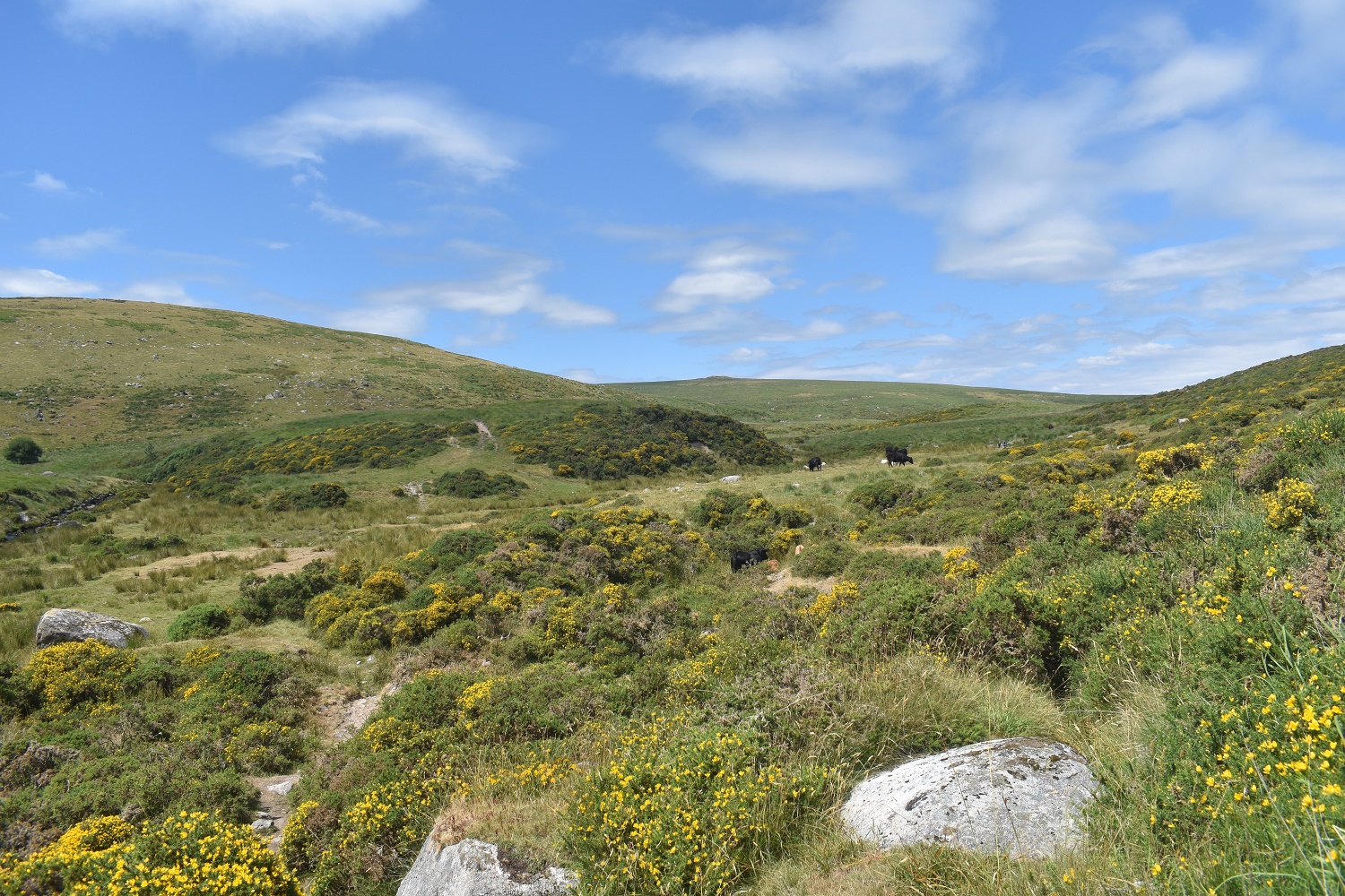
Behind Arch Tor, long grass, no paths, tough walking. Broadown Tor sticks up in the distance. However don’t head straight at it as that holds Archerton bog, heads slightly off left and down towards a wall
Looking back

The path runs parallel to the Cherry brook to my left and that’s Cherrybrook Rocks on the hill over there

This common frog was leaping around in front of me

Cherrybrook Rocks and the Cherrybrook

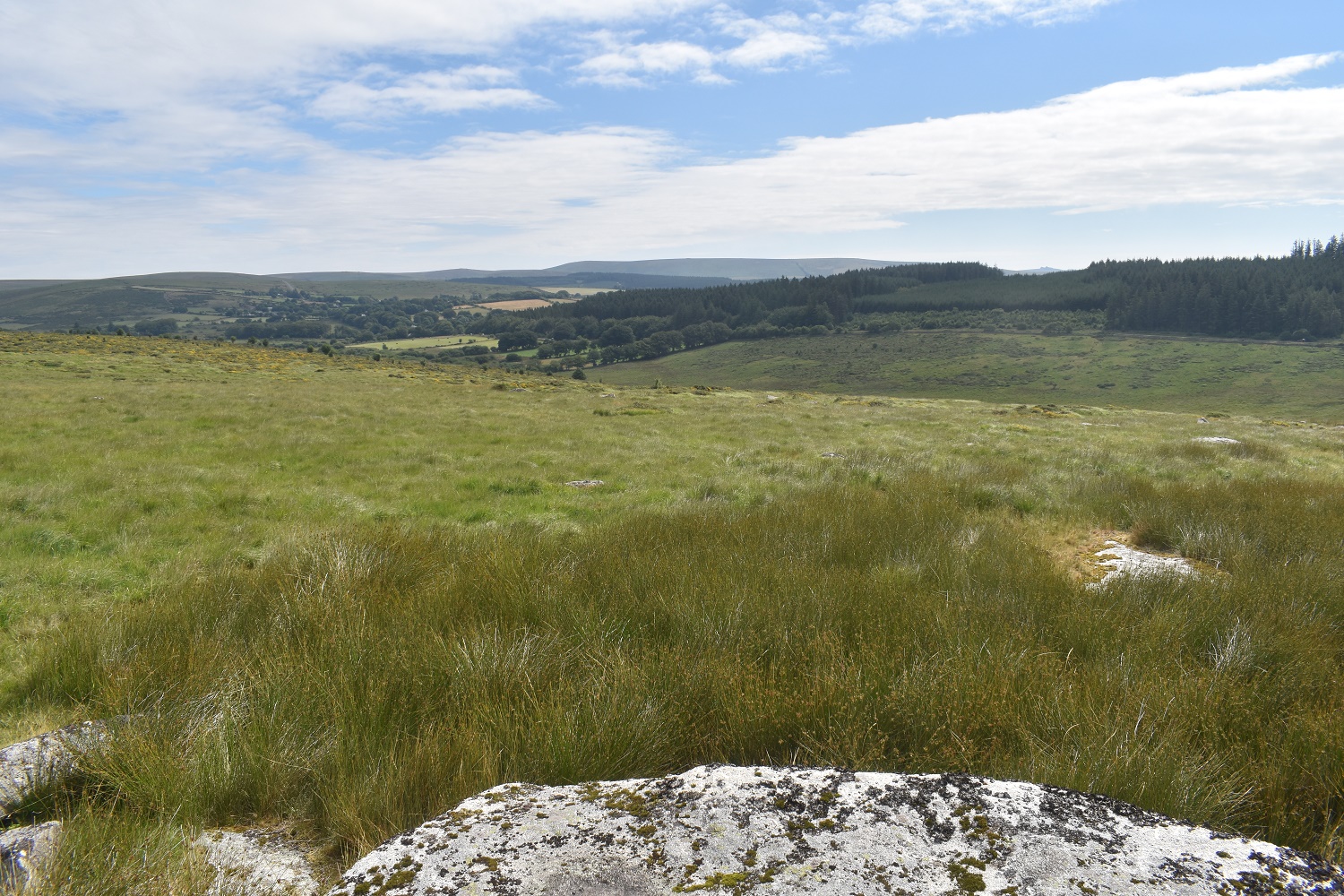
Its only a short walk to Broadown Tor, looking back down to Cherrybrook Rocks and the ridge which runs to Higher White Tor beyond

The Hameldown ridge, then along to Haytor and Rippon Tor and furthest right Yar Tor. From Broadown Tor

I’ve managed to find a quad bike track as I head towards Flat Tor. Cut Hill is at the back and the whiteish squares in the mid distance are part of an experiment on the boggy parts of Dartmoor, which this most definitely is

One of the areas, weather stations and all
Flat Tor, looking back towards Rough Tor right and Longaford Tor in the middle peeking up

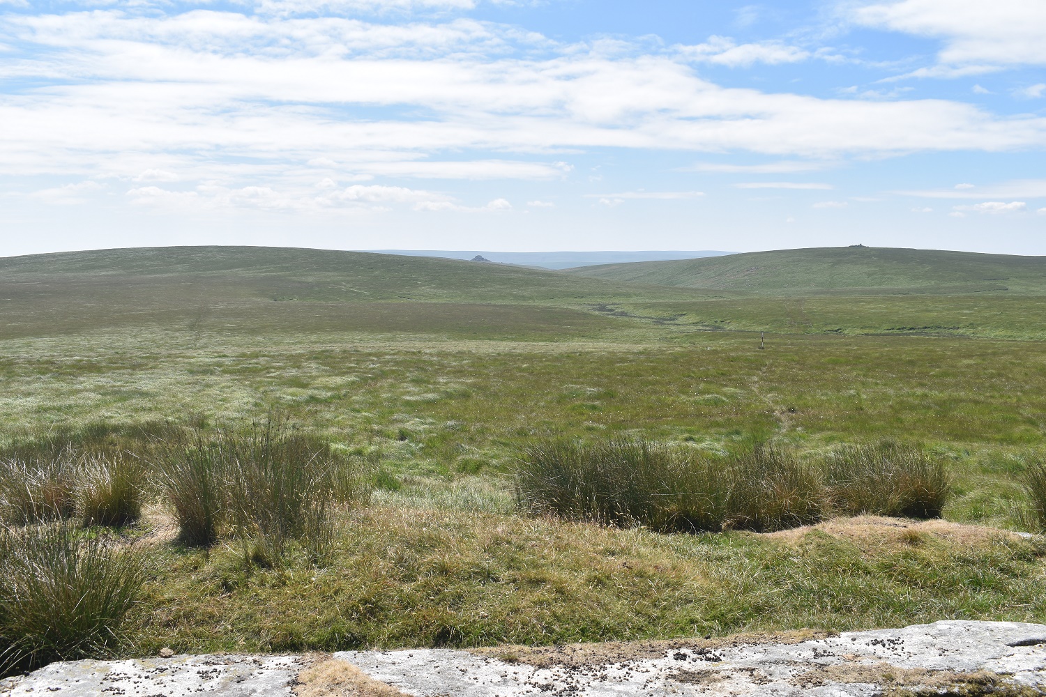
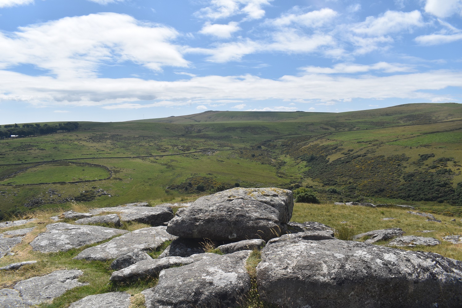
The posts mark the edge of the military firing area of Merrivale, I’ll follow the posts down as they tend to have a bit of a path joining them up. If you zoom in a bit you can see Kit Rocks on the hillside down there. The horizon is Whitehorse Hill and Quintins Man
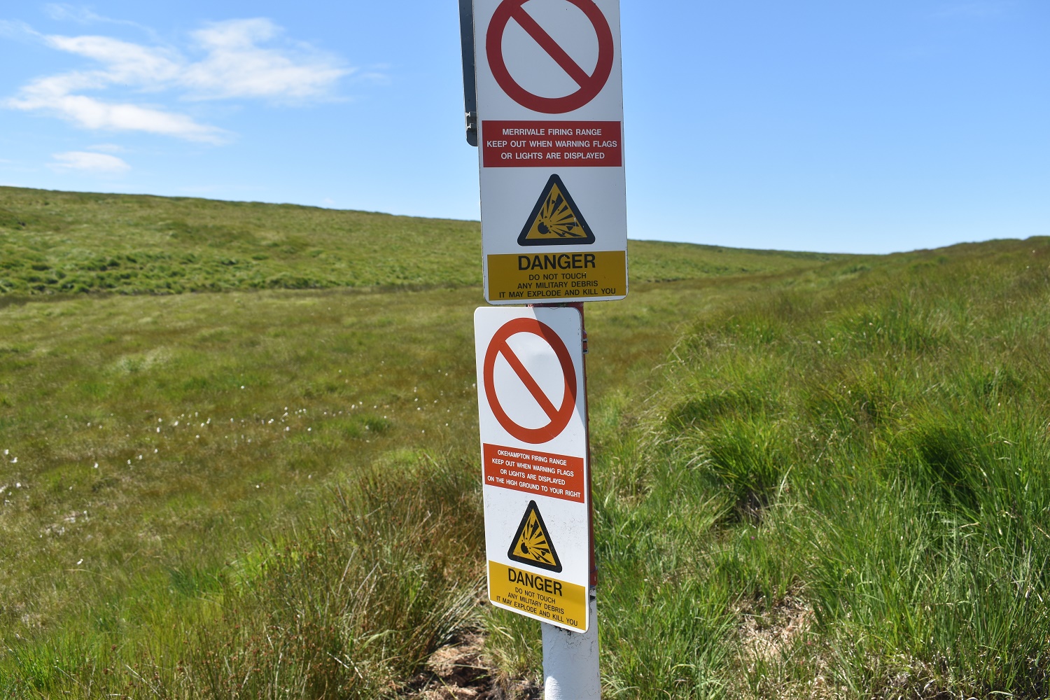
The post that marks the joining of the two firing ranges. Left is the Merrivale range and right is Okehampton
Kit Rocks looking down along the East Dart river. Flat Tor is beyond

East Dart river is left, Black Hill is back left and Kit Rocks on the bank to the right

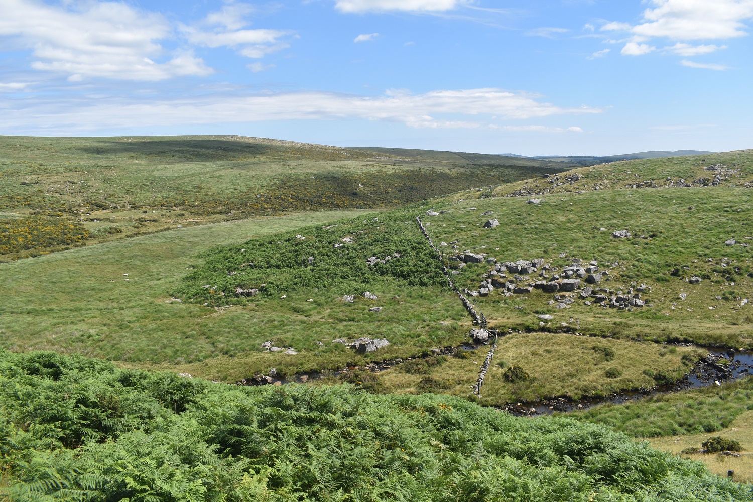
This is Kit Steps, a bit of a rocky part of the East Dart river and a decent crossing point. To the left here is a wide open bowl which holds Broad Marsh, not a place you want to go in at any time. So cross here and walk the path on the other side
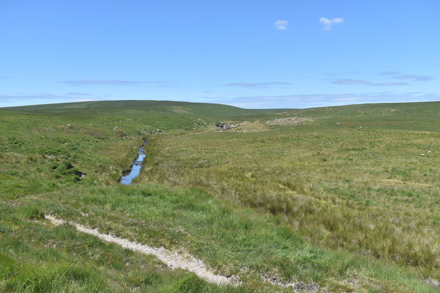
Looking back to Kit Steps and Cut Hill which is the high point behind

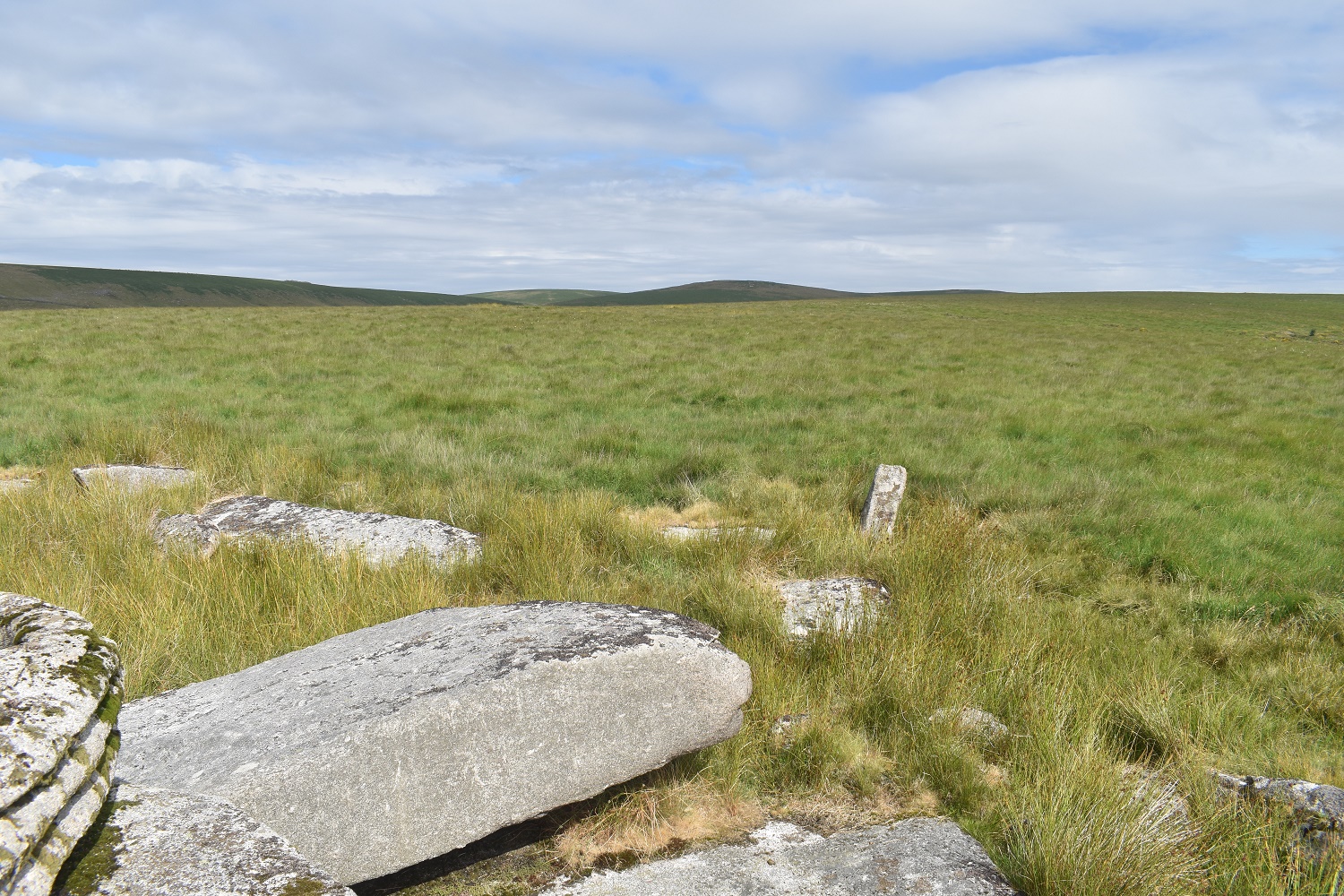
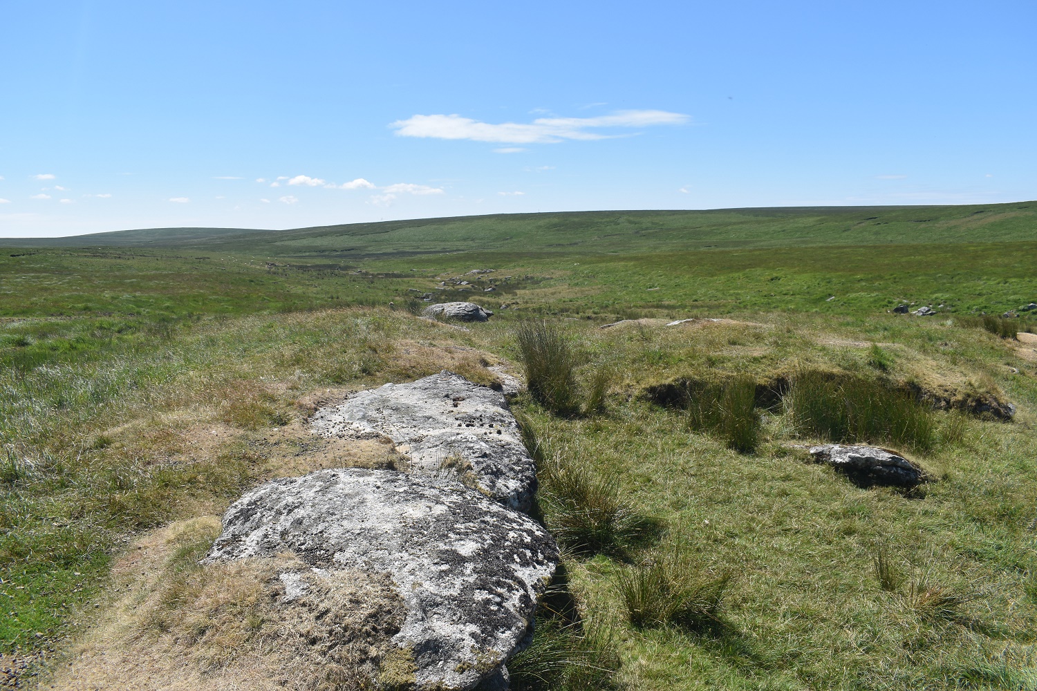
Broada Stones and again Cut Hill at the back

Broad Marsh is on the right and down there on the edge of it is a tent, hope they don’t sleepwalk. Broada Stones to the left and behind me is…..

The entrance to Sandy Hole Pass

And this is the other end, this was manmade in order to speed up the flow of the East Dart to aide tinning in the area, as a result it drained lots of the peat bogs around Broad Marsh, something the weather stations I showed you earlier are looking at.

I’d had a dunk in the East Dart at the waterfall, hence the splash on the lens!! Not much water flowing but enough for a cool off
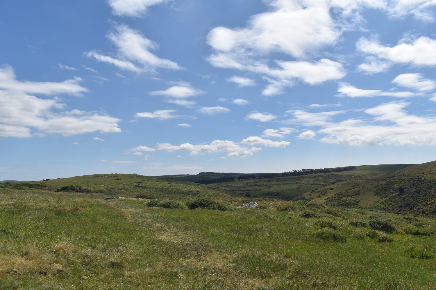
The East Dart turns sharply south here and heads for Postbridge
The cows are stood around the Beehive Hut and I look back at Sittaford Tor in the distance
Hartland Tor up on the left. At this point I was stopping every couple of hundreds metres trying to take on plenty of water as my head was spinning a bit

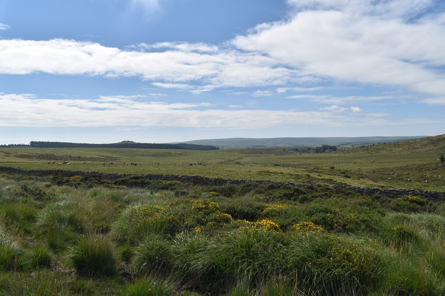
Looking to Bellever forest from Hartland Tor. I could see a spot down there by the river in the trees in which I would be able to get out of the sun for a bit

Looking back from where I’ve come
Higher White Tor stands out from Hartland Tor

After some shade and a dunking using the cap to cover myself with water
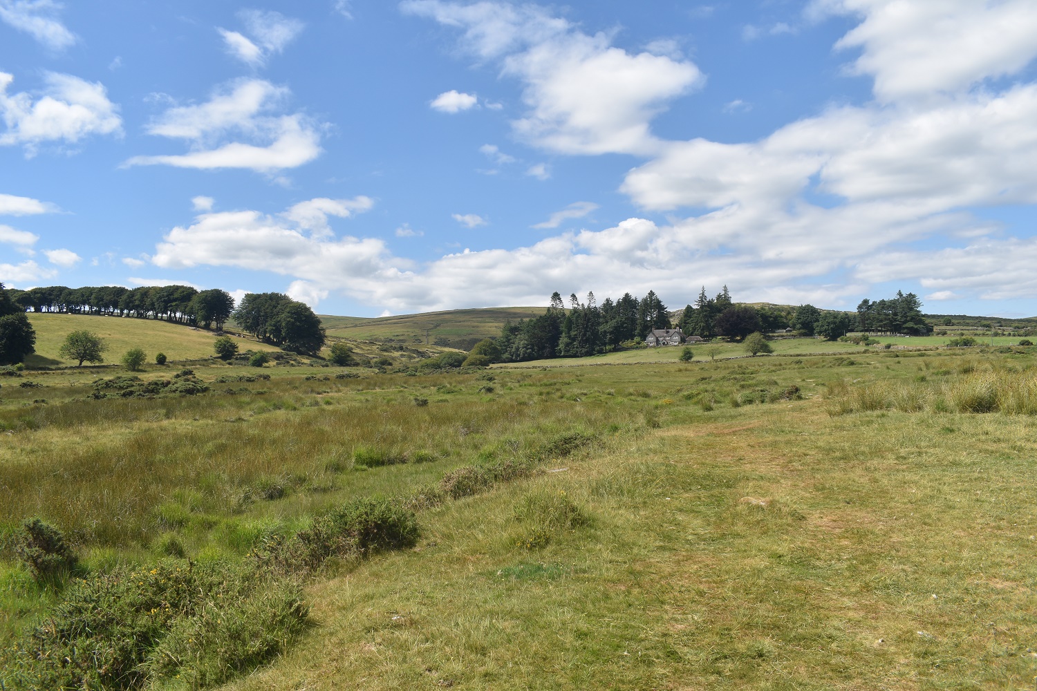
Hartland House and my shady trees. A fantastic spot and view. Hartland Tor is behind the house
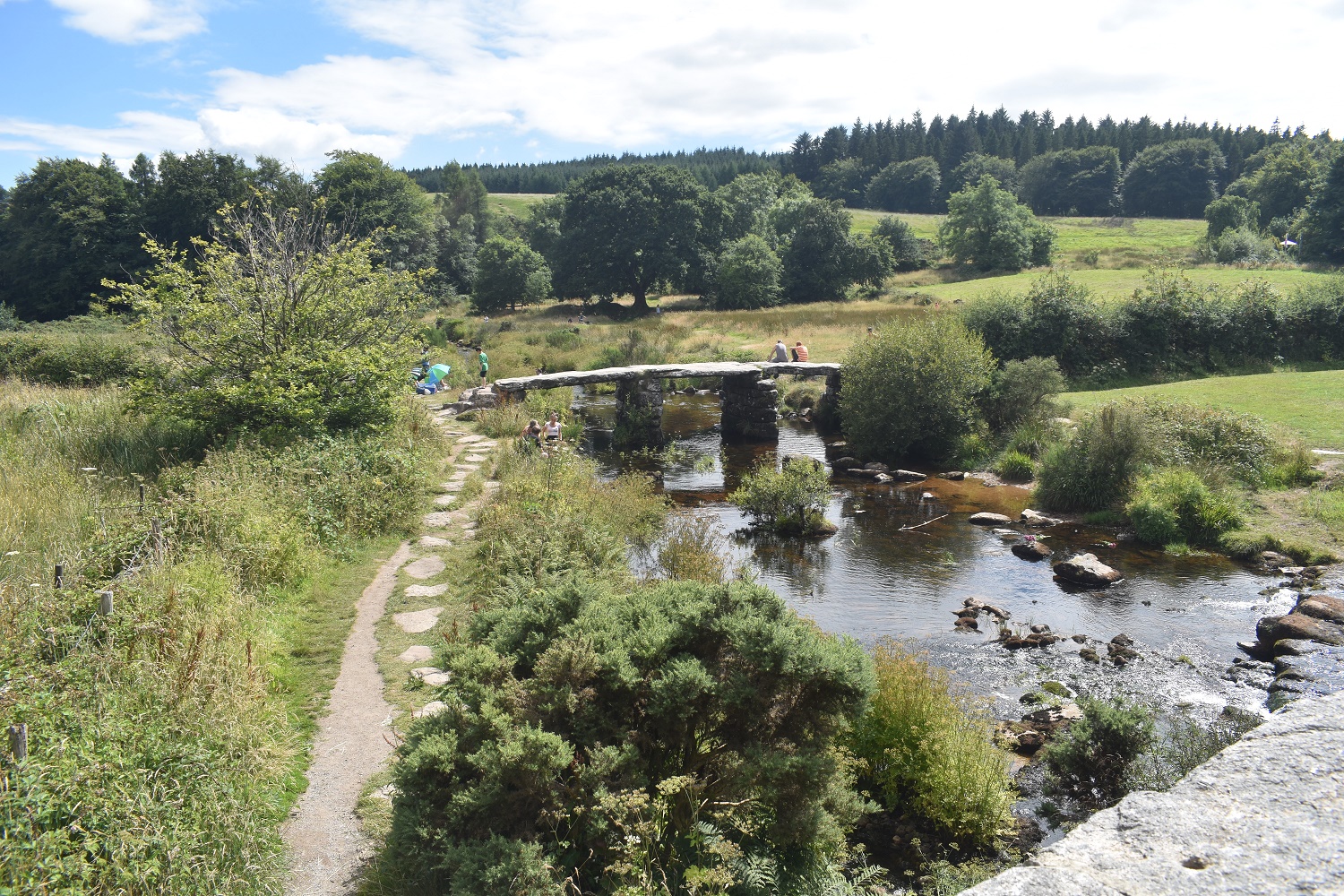
Postbridge clapper bridge and the East Dart river

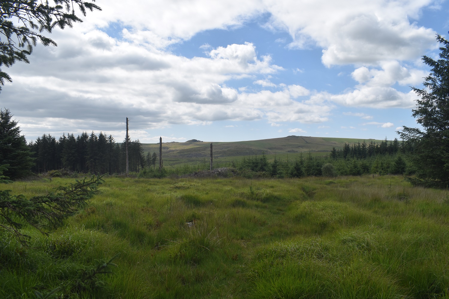
Lakehead Hill looking north east

And to Bellever Tor, I’m down a short distance and then into the trees right to pick up the Lych Way back to the car
A last view across to Higher White Tor and Longaford Tor


Great walk. Becoming a real problem finding drinkable water in the hills at the moment
LikeLiked by 1 person
I got one of those Lifestraws for a birthday one year. Really good for days like today as I can drink straight from the stream. Small enough to carry in a day pack
LikeLiked by 1 person
I use a Sawyer Mini-Works Filter, great little piece of kit
LikeLiked by 1 person