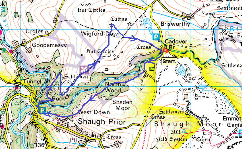
I thought I’d had my last evening walk a couple of weeks ago at Great Mis Tor however I managed to squeeze another one in, on a day when the rain was supposed to pour. Luckily for me the weather reporters were wrong and I enjoyed a walk in probably my most walked area on Dartmoor. I’ll come to this walk at least once a year, usually around Christmas, however I took advantage of a weather window and came here, as its a short drive from home. For those wishing to start walking on Dartmoor, or anywhere for that matter, this is as good a place as there is to start. You get a river, two bridges, a woodland path, downhill parts, uphill parts, an old railway and quarry industry, a tor, a rocky summit that was a hill fort and an area in Wigford Down that gives a flavour of Dartmoor proper. All that in 4 miles and owned by the National Trust. A brilliant place.
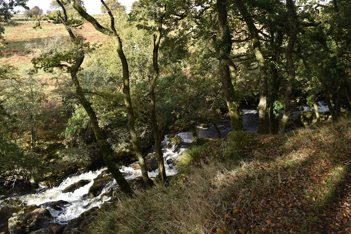
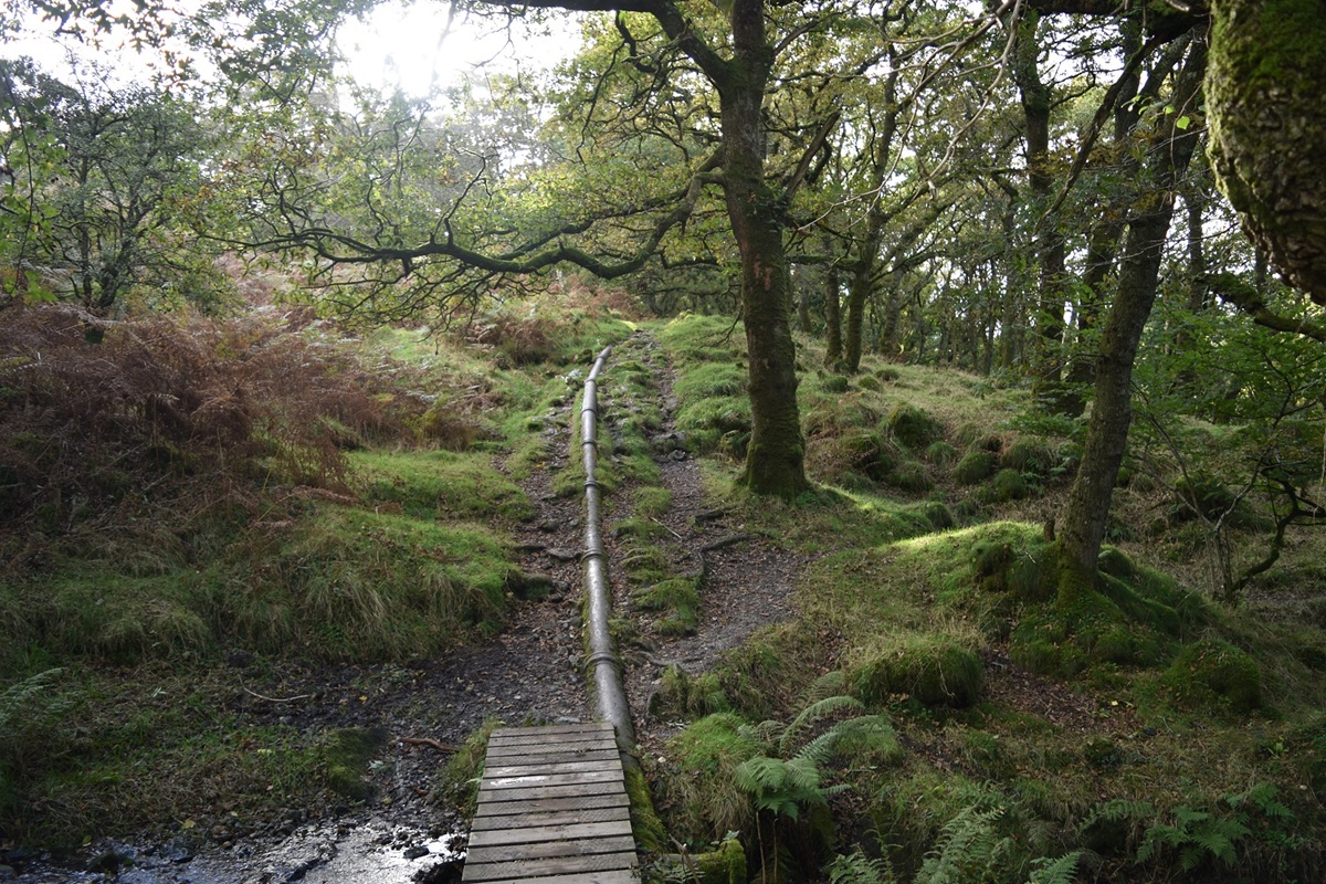
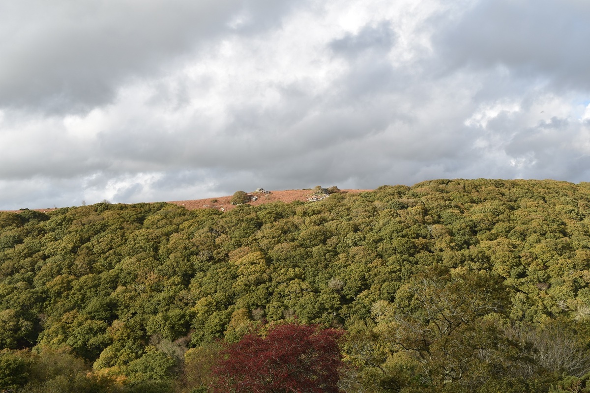
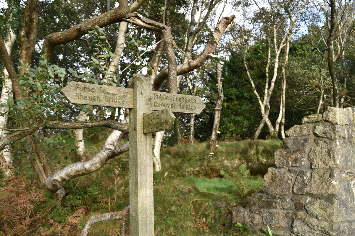
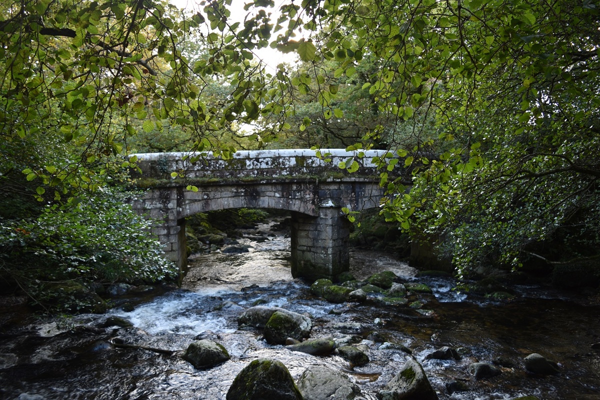
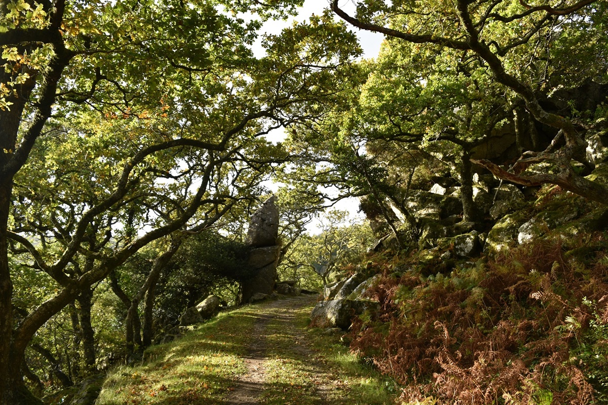
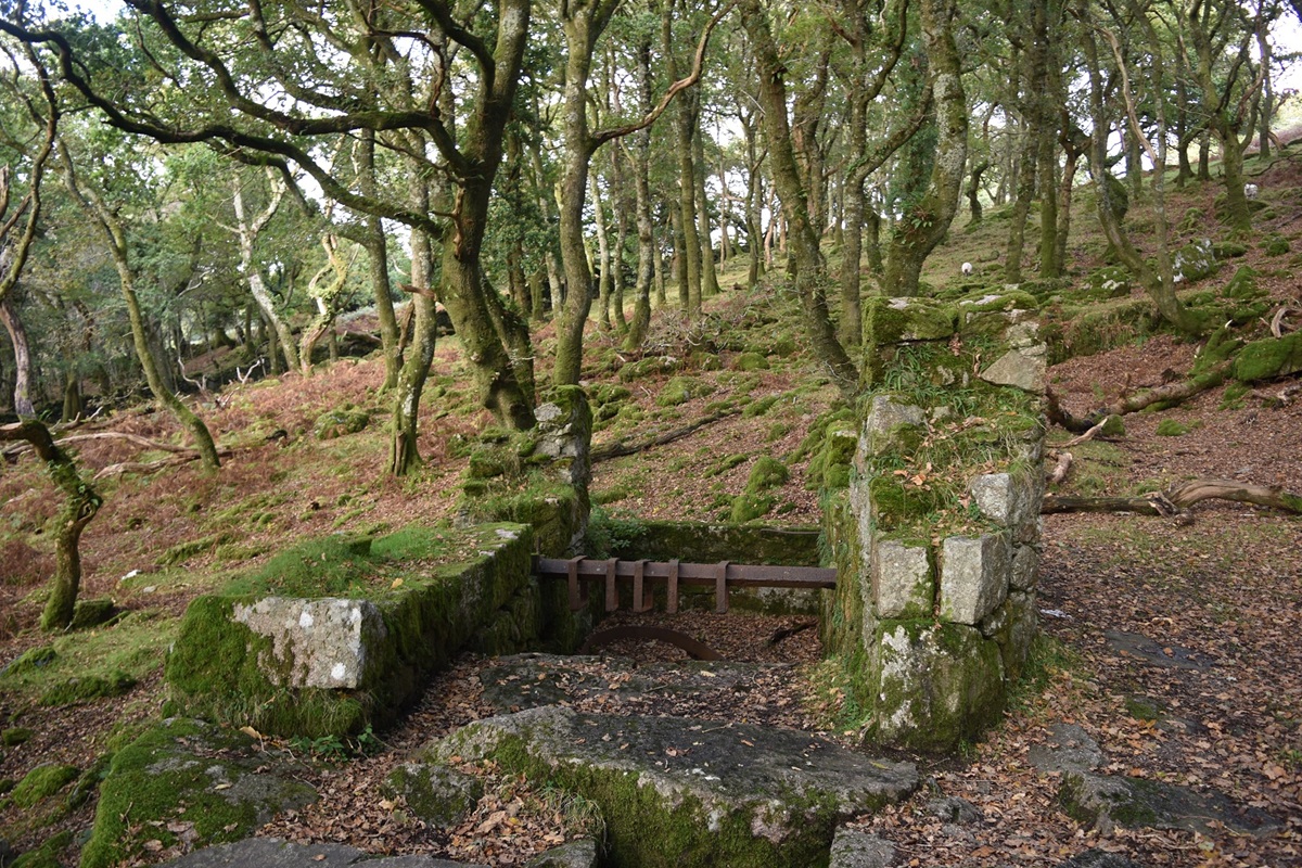
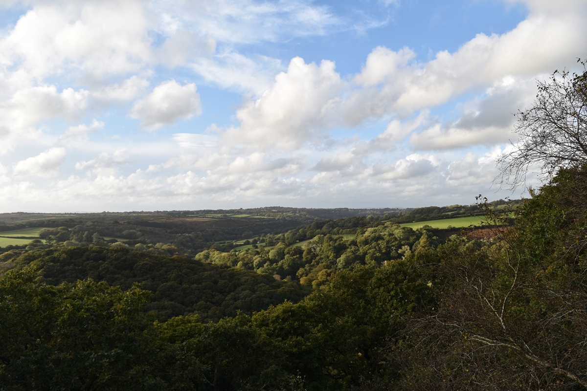
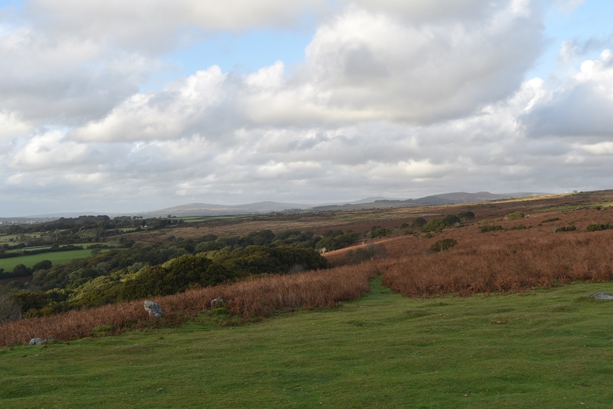
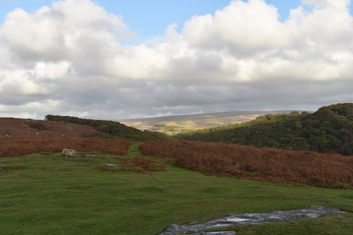
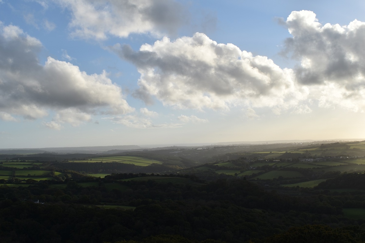
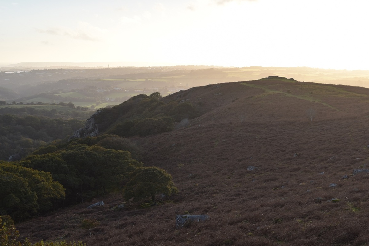
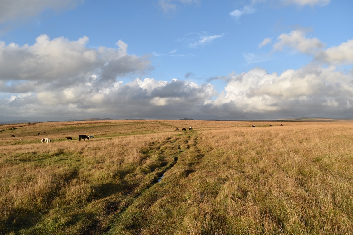
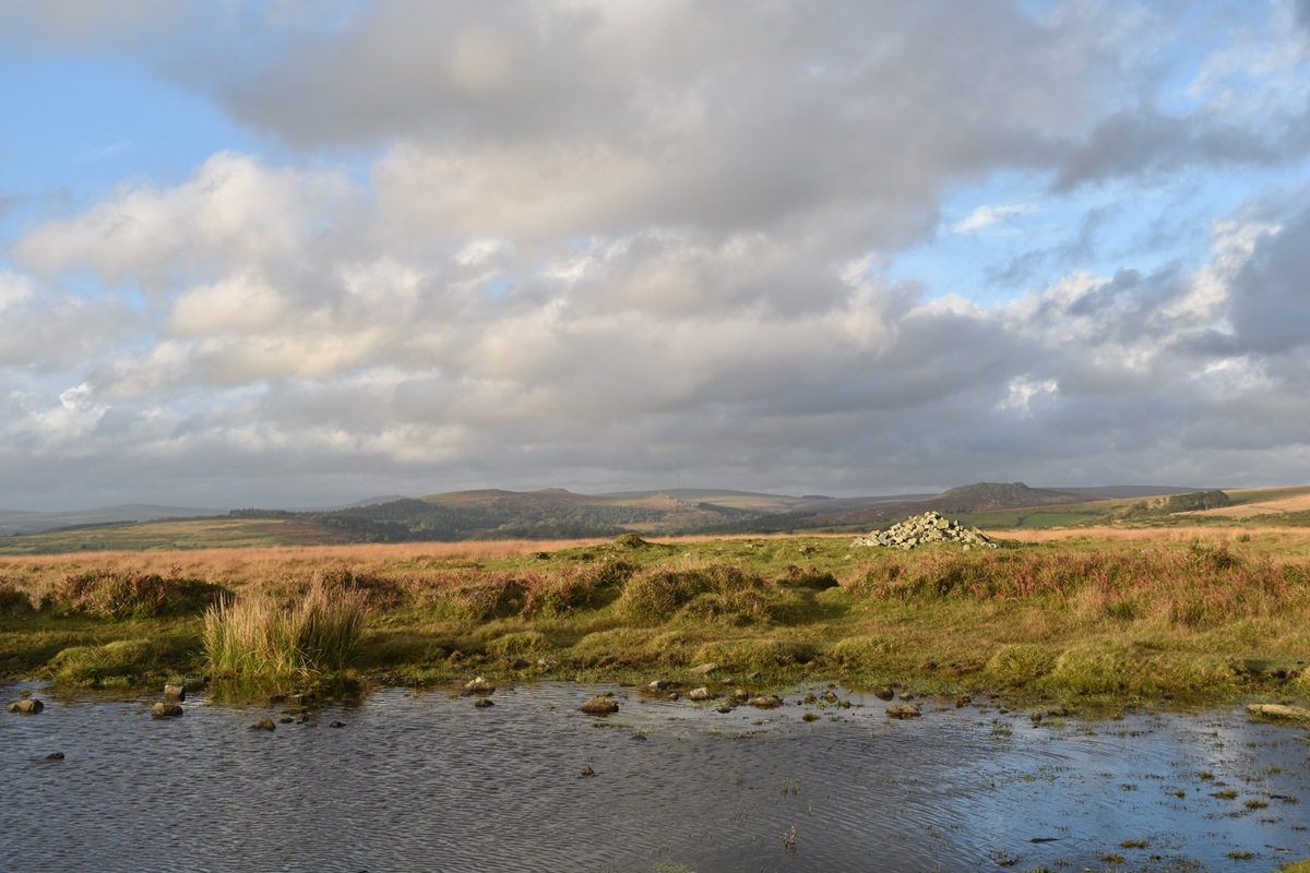
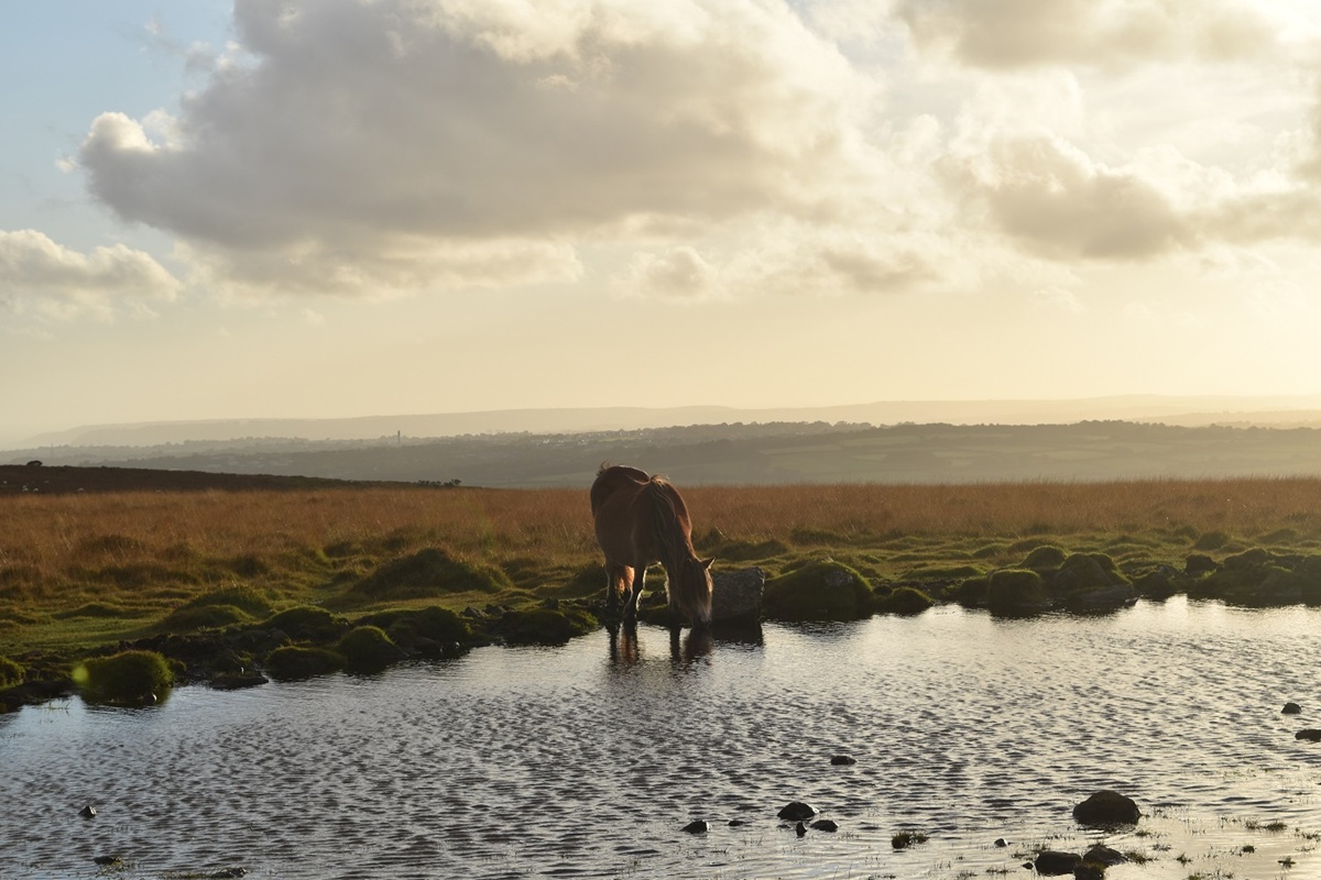
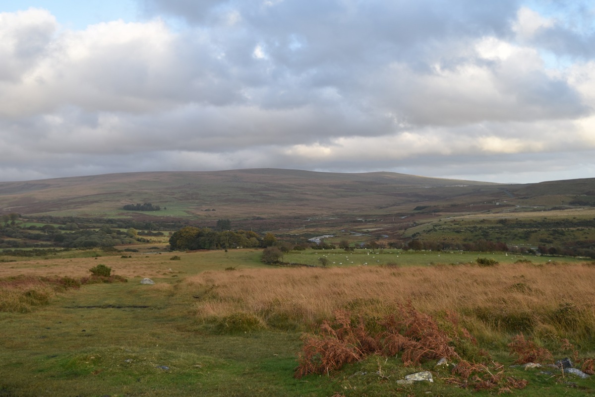
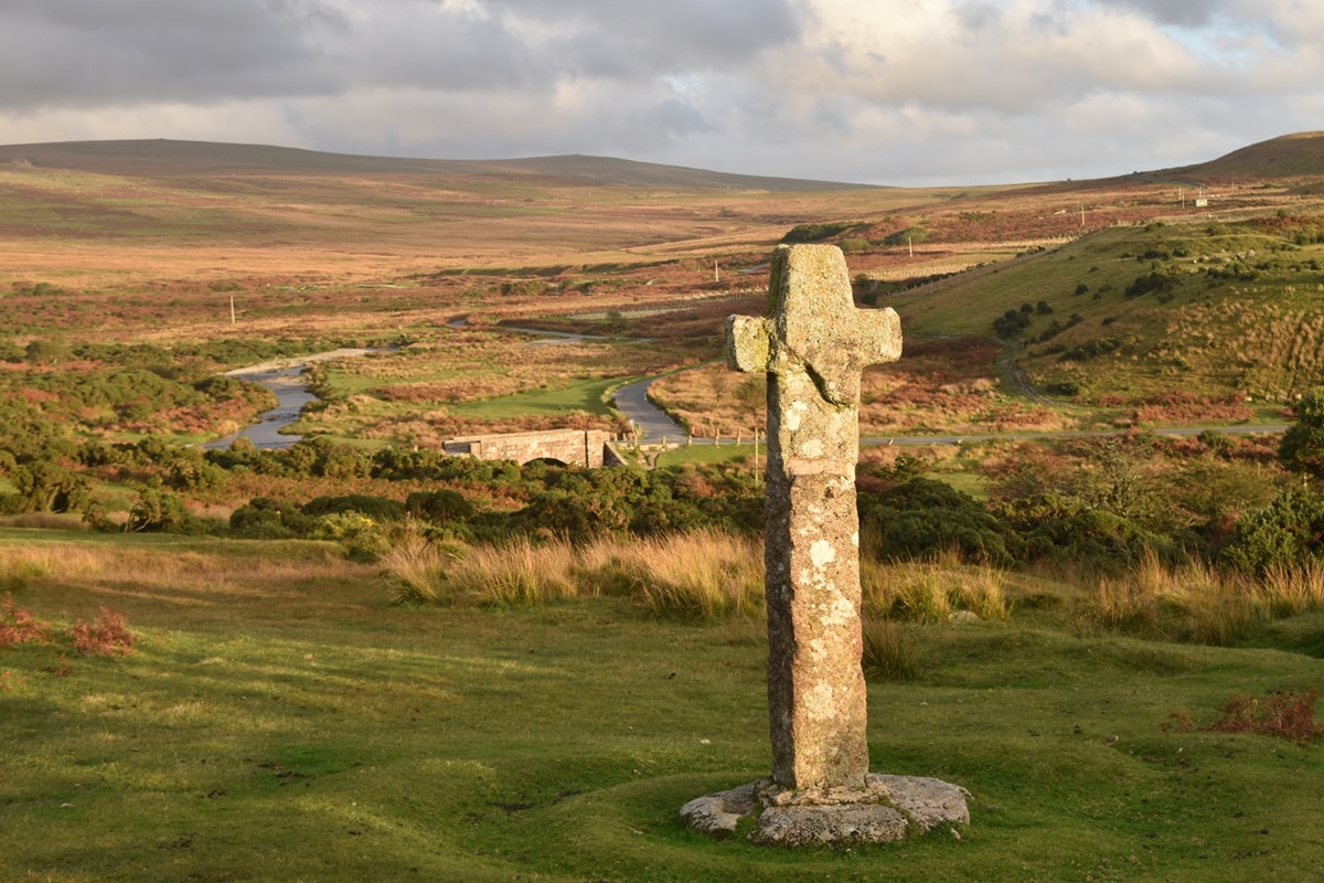
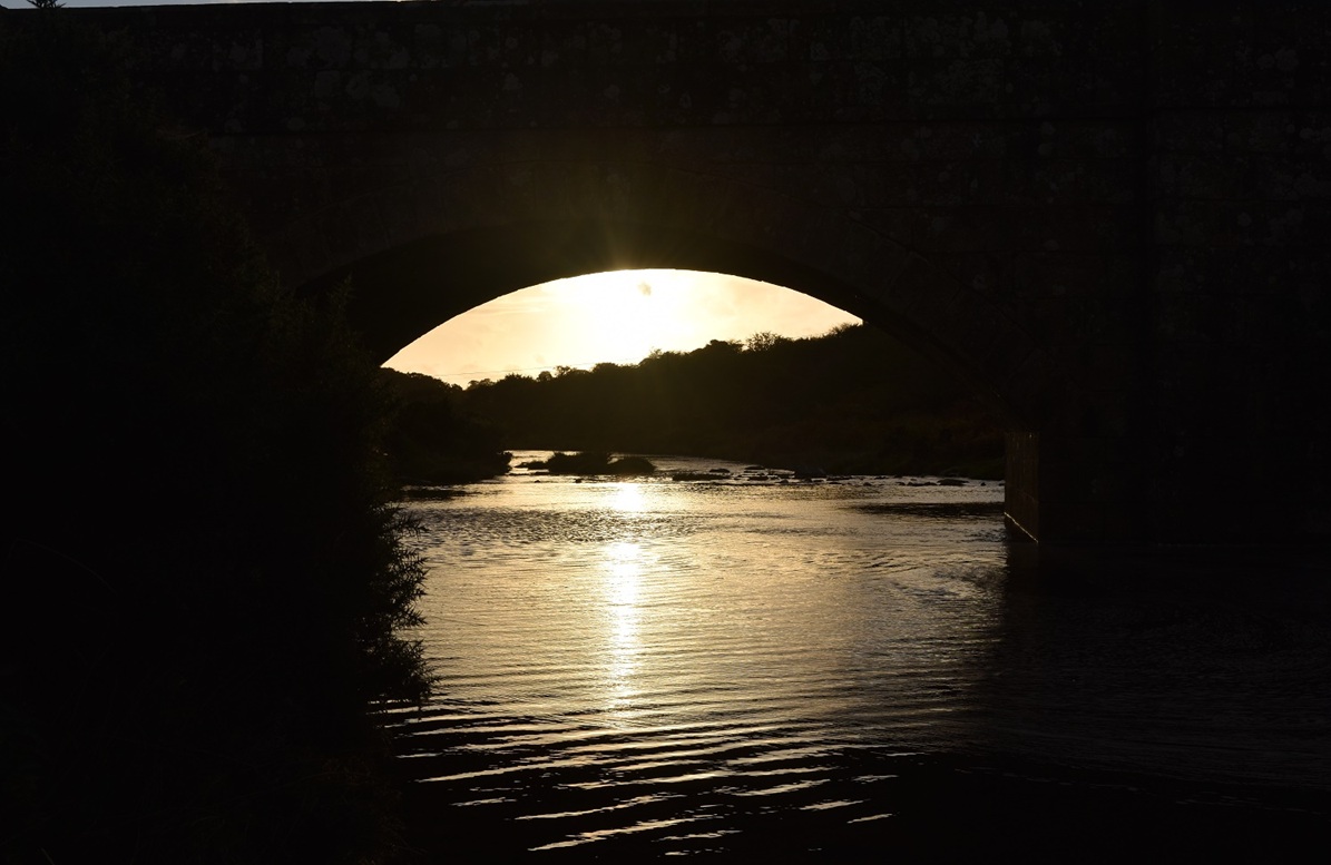
As I leave Cadover Bridge car park and enter North Woods the River Plym is loud and present on my right hand side. This whole area is owned by the National TrustThis is the clay pipe path, for obvious reasons! Clay was carried along these pipes to the kilns at Shaugh Bridge. A nearby train station then took the goods to town (Plymouth) and beyondSun dappled North WoodsOut of North Woods and that’s Cadworthy Tor on the other side of the valley, I’ll be there in about 50 minutesFrom the same spot a view to the Dewerstone, a major climbing route in these parts. Devils Rocks aboveGoing to the leftI’m on the wooden bridge near Shaugh Bridge looking up the River PlymShaugh Bridge, here the rivers Plym and Meavy meetThis is the old cart track that leads up from Shaugh Bridge, the rocks ahead would have been a tor and became a quarry, stone from here went to build Blackfriars Bridge in LondonThe brake house at the top of the cart track incline, to stop the empty carts from heading into the River MeavyA glimpse over glorious Devon countryside, the valley below holds the River MeavyOn Devils Rocks now, Dartmoor and its tors in the distance, Cox Tor on the leftSun shining on Cadover Bridge area with the Plym valley to the right. Left of photo is Cadworthy Tor my next destinationTo the south are views to PlymouthThe top of the Dewerstone just visible left and below Devils RocksGreat Trowlesworthy Tor catches the sun as I walk to Wigford Down, Shell Top behindPast the Dartmoor ponies to Wigford DownWigford Down cairn, Sheeps Tor above the cairn and Peek Hill to the leftWatering hole Dartmoor styleI’m heading down just right of the trees, Shell Top and Lee Moor dominate the backgroundCadover Cross and Cadover Bridge. This was an old abbot’s route from Tavistock to Plympton.Sunset at Cadover Bridge
5 thoughts on “Cadover Bridge, Shaugh Bridge and Wigford Down”
I’m hoping to stop off in Dartmoor for a Cream Tea and a short walk on my way to weekend in Padstow in a few weeks. This looks like a good one. Any other recommendations for a couple of hours walk in some classic Dartmoor scenery.
If you want the centre of the moor then there’s this one https://treksandtors.co/2014/06/06/all-around-the-mast/
Or for on the western edge this one is very good https://treksandtors.co/2015/03/04/all-around-the-staple-tors/
Both walks have good views all round and give a nice mix of Dartmoor without having to walk for 5 or 6 hours. There’s a few cafes in Princetown for the cream tea as well. Let me know if you need anything elsebut any of those three walks are good and all about 3-4 miles.






I’m hoping to stop off in Dartmoor for a Cream Tea and a short walk on my way to weekend in Padstow in a few weeks. This looks like a good one. Any other recommendations for a couple of hours walk in some classic Dartmoor scenery.
LikeLike
If you want the centre of the moor then there’s this one https://treksandtors.co/2014/06/06/all-around-the-mast/
Or for on the western edge this one is very good https://treksandtors.co/2015/03/04/all-around-the-staple-tors/
Both walks have good views all round and give a nice mix of Dartmoor without having to walk for 5 or 6 hours. There’s a few cafes in Princetown for the cream tea as well. Let me know if you need anything elsebut any of those three walks are good and all about 3-4 miles.
LikeLike
If you want the centre of the moor then there’s this one https://treksandtors.co/2014/06/06/all-around-the-mast/
Or for on the western edge this one is very good https://treksandtors.co/2015/03/04/all-around-the-staple-tors/
Both walks have good views all round and give a nice mix of Dartmoor without having to walk for 5 or 6 hours. There’s a few cafes in Princetown for the cream tea as well
LikeLike
I can see why this is one of your favourites – it’s lush!!
LikeLike
It makes perfect sense that you chose this a favourite – it looks ideal.
LikeLiked by 1 person