Looking at the weather forecast for this weekend I was downbeat. I sit here typing this looking at nice blue skies and sunshine out of my window. I’d watched the weather all week, knowing that I could only get out on the Saturday, hoping that it would be the better of the two weather days. This was not the case, Saturday dawned with low cloud and a bit of drizzle, not good, and after very heavy rain Friday evening and night it didn’t bode well. I headed off anyway to the north eastern side of Dartmoor, as far away as I get from my house, to an area that I’ve only been once before. I concocted a nice route around some lanes and across a few hills which I rarely get to, however on arrival I was in the cloud, so I decided to reverse my walk in the hope that it would clear by the time I got to the moors proper. It partially worked, however by the time I got to Buttern Hill it had started to rain a bit, that fine rain that soaks you through!!! Still going this way around leaves a great finish, with the sights coming thick and fast after leaving Buttern Hill with two bridges, a stone circle, a tor and the Tolmen Stone all within a few hundred yards of each other. A lovely way to finish
| Start – Gidleigh parking |
| Route – Gidleigh Tor – Gidleigh – Moortown – Shilstone Tor – Kennon Hill – Gallaven Ford – Rival Tor – Buttern Stone Circle – Buttern Hill – Scorhill Stone Circle – Walla Brook Clapper Bridge – Teign-e-ver Clapper bridge – Tolmen Stone – Scorhill Tor – Gidleigh parking |
| Distance – 8.5 miles Start time – 11am Time taken – 5hrs Highest Point – Kennon Hill 478metres |
| Weather – Low cloud, no wind at all, rain at the end |
© Crown copyright 2017 Ordnance Survey FL 2017 SF
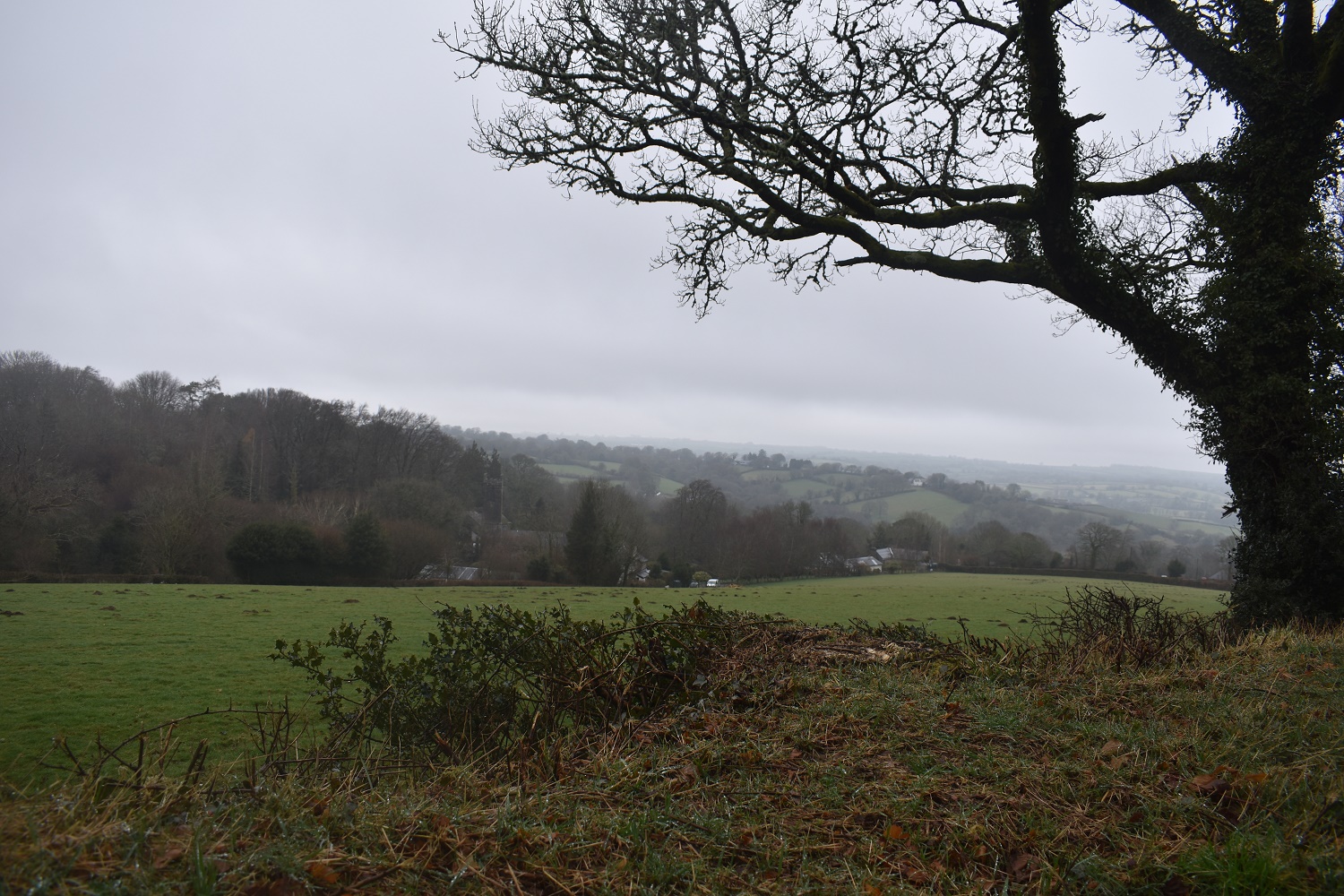
Walking down the road from the start point and you get views down to Gidleigh village and the church
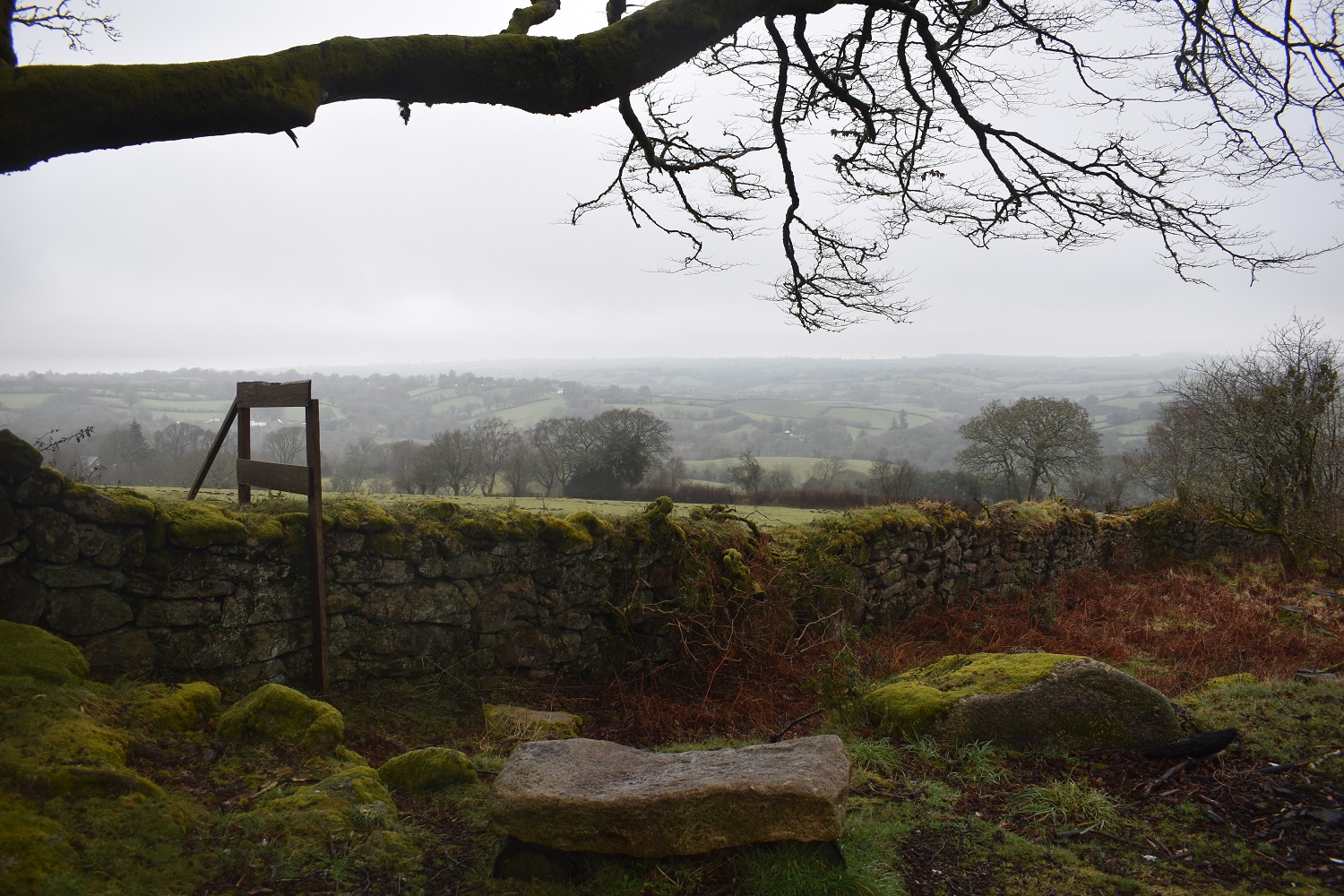
Walking along the Mariners Way towards Gidleigh Tor you get a nice view towards Chagford across the fields. I would stop here on the way back for a coffee

Some sort of hut by Gidleigh Tor
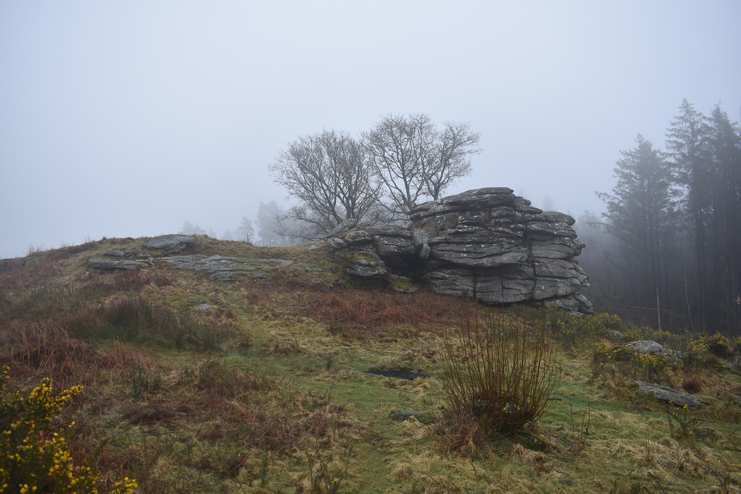
Gidleigh Tor

Into Gidleigh now and passing by the church
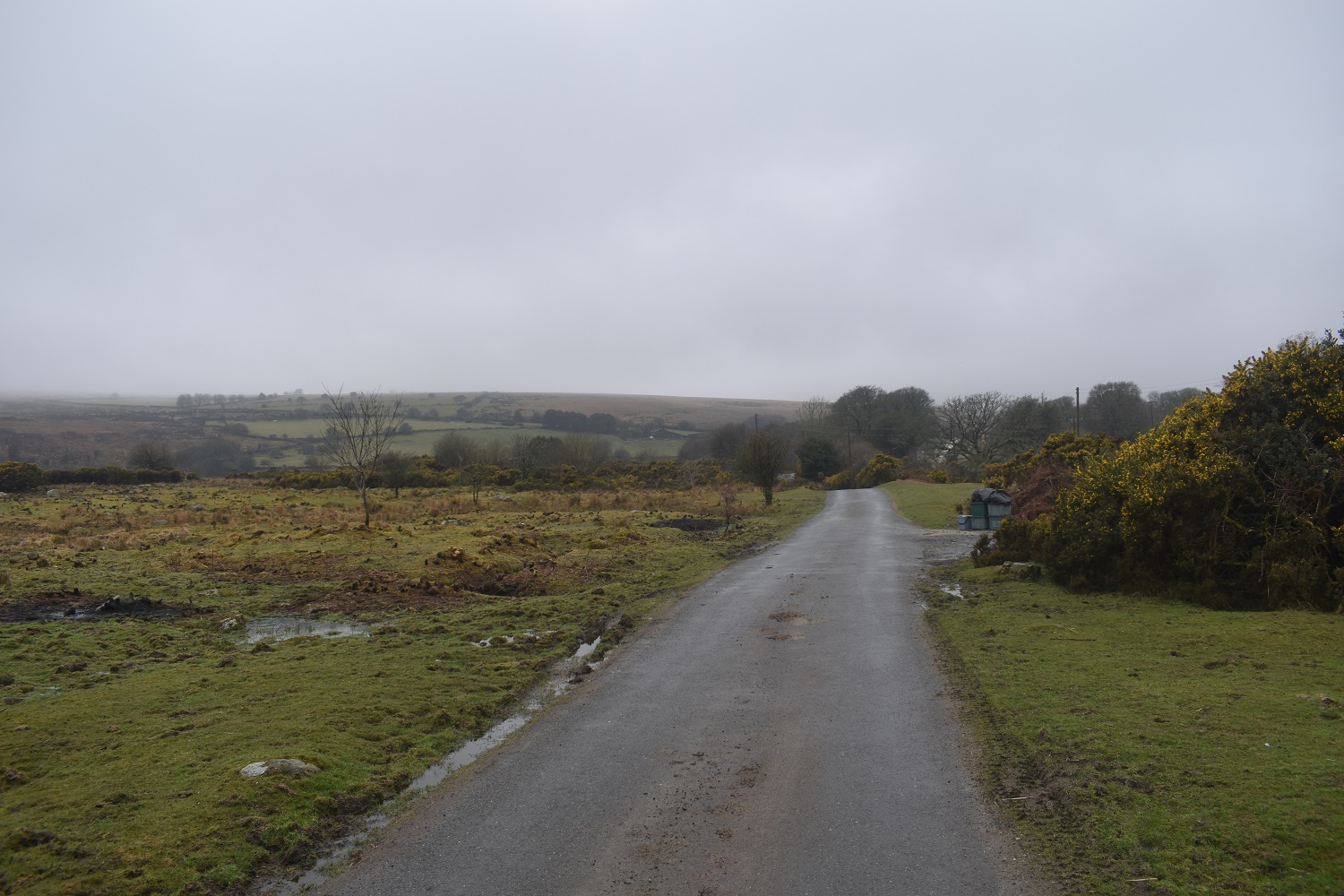
The original plan was to head to Wonson and then up to Shilstone Tor, however I went left instead after Gidleigh and ended up following the moorland road. Its clearing a little up ahead
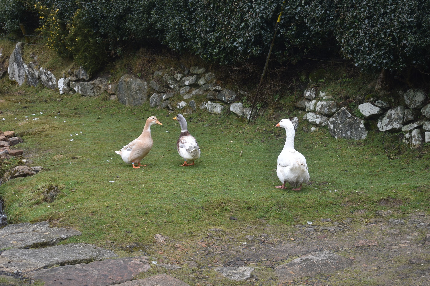
These guys were making a racket. Not sure they wanted me here
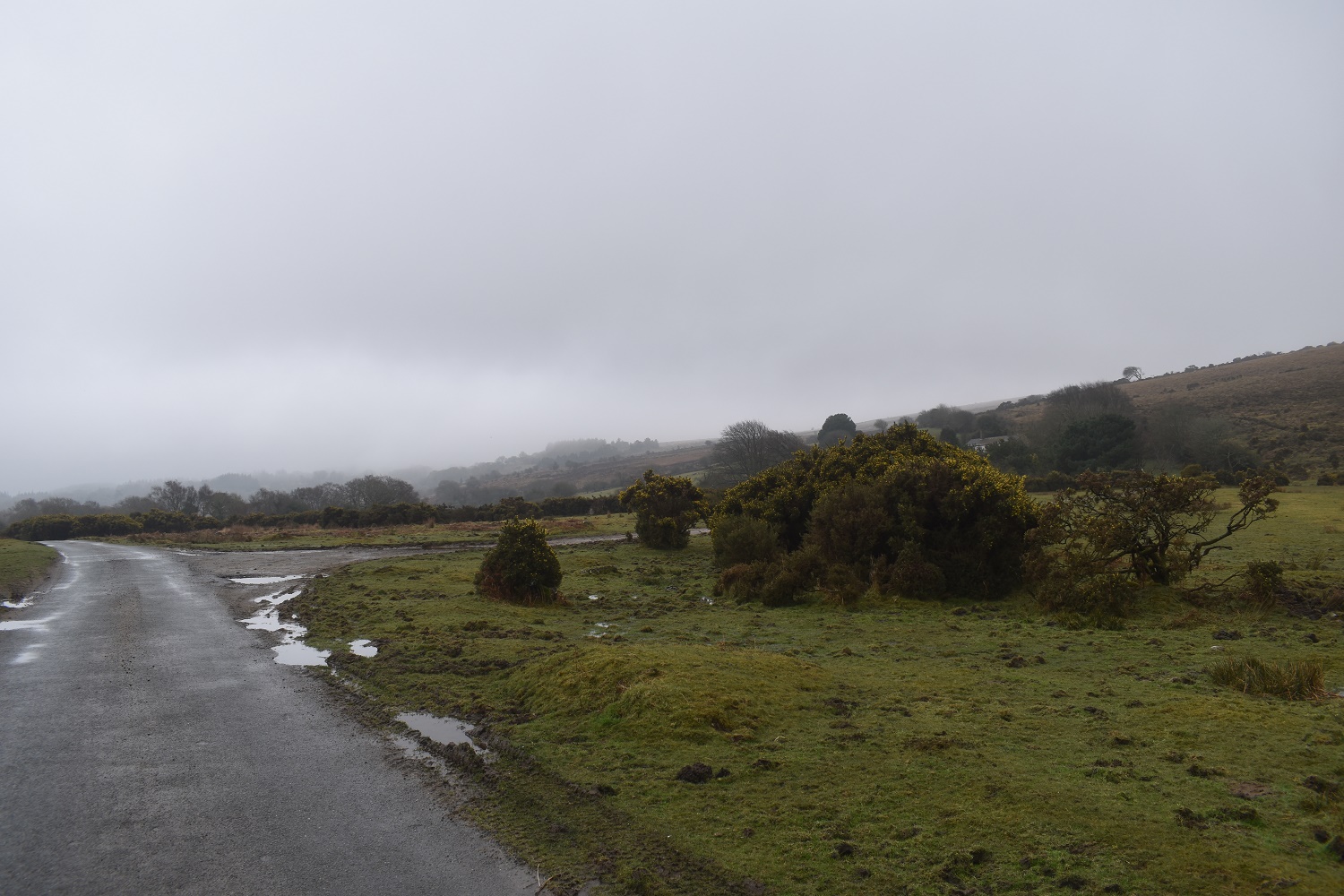
Definitely brightening a little

Shilstone Tor is clear up ahead
On Shilstone Tor now and looking up to Buttern Hill , I will be there later
Normally you would see Haytor and Hameldown looking this way but not today
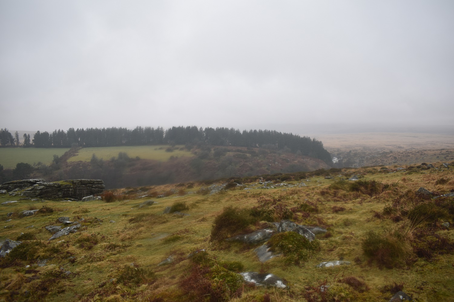
I followed a path out the back of Shilstone Tor heading straight for Cosdon Hill. Follow this for about half a mile then head left and south to pick up the path towards Kennon Hill. Cosdon Hill has its head in the clouds up there

I’m climbing Kennon Hill and looking north over Raybarrow Pool, not a place to mess with

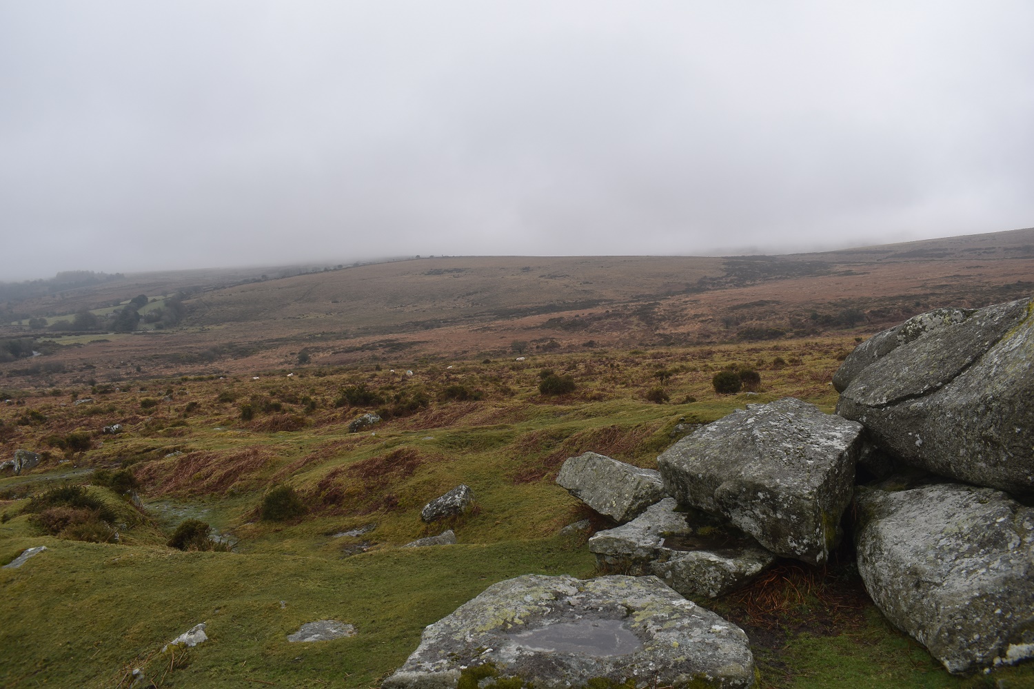
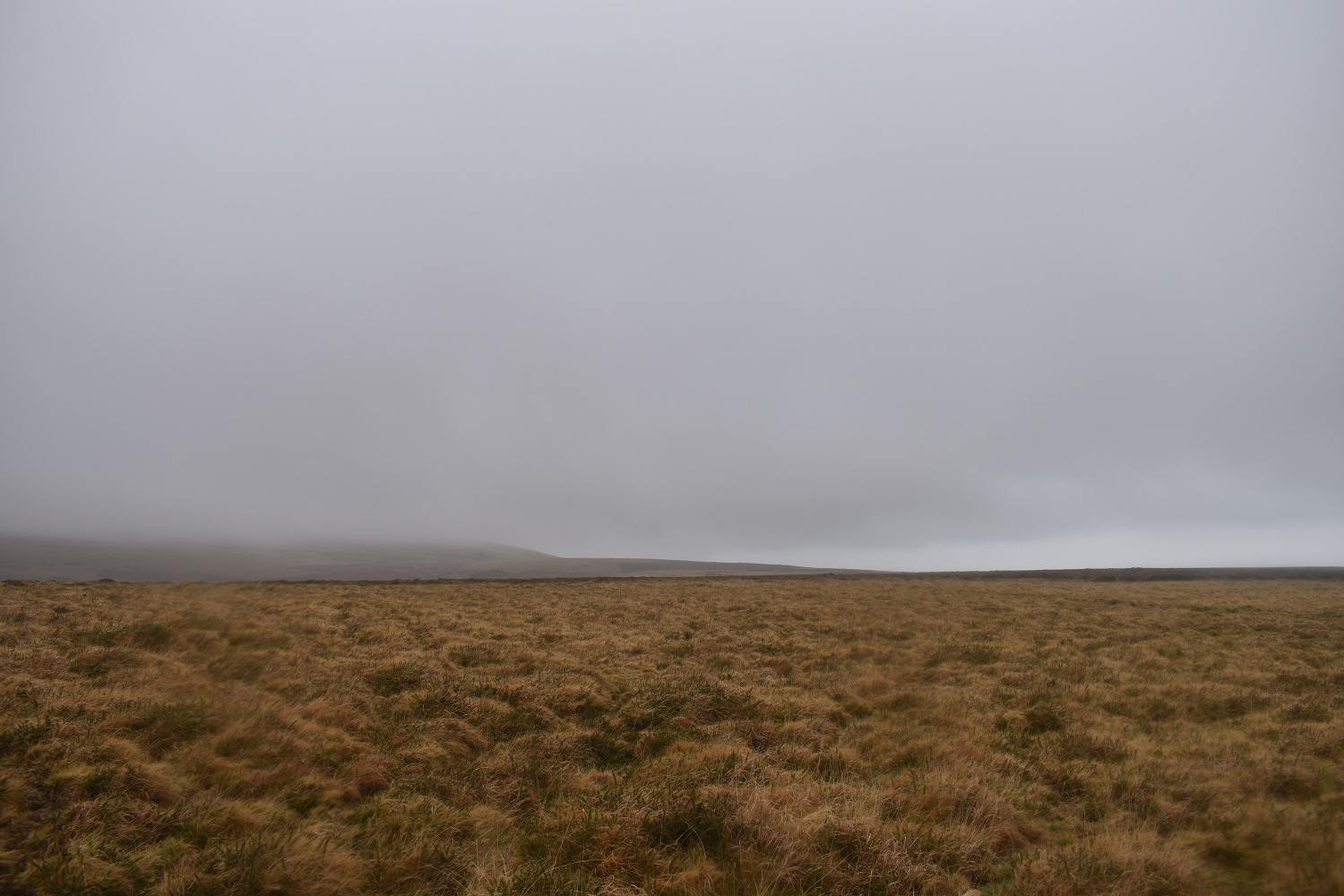
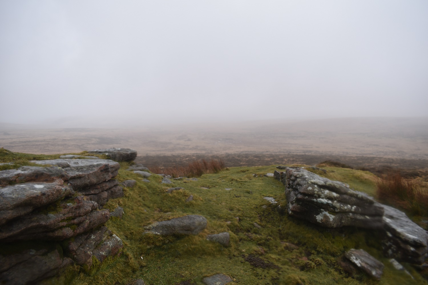
Kennon Hill summit, not much to see here today
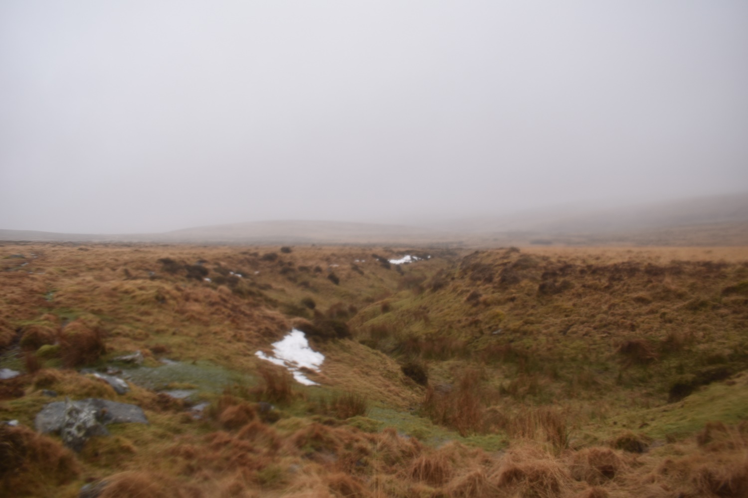
This is part of Ruelake Pit, an area of tin mining on Dartmoor. Still a bit of snow here
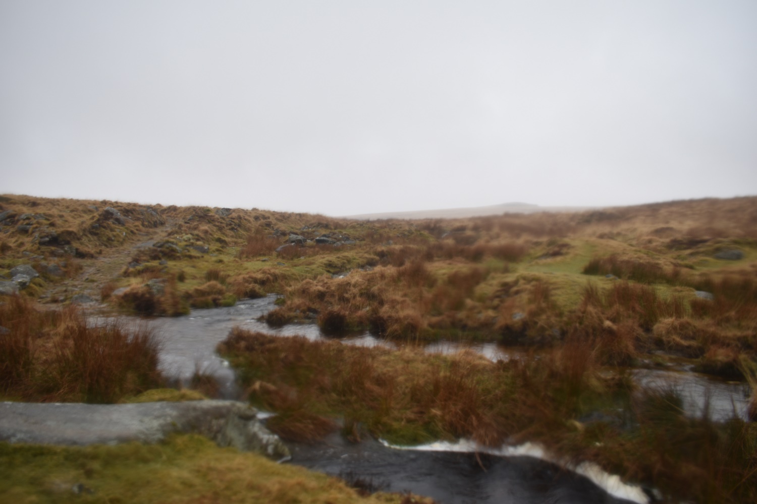
Gallaven Ford with Hound Tor behind
Gallaven Ford again, this time looking to my next target of Rival Tor
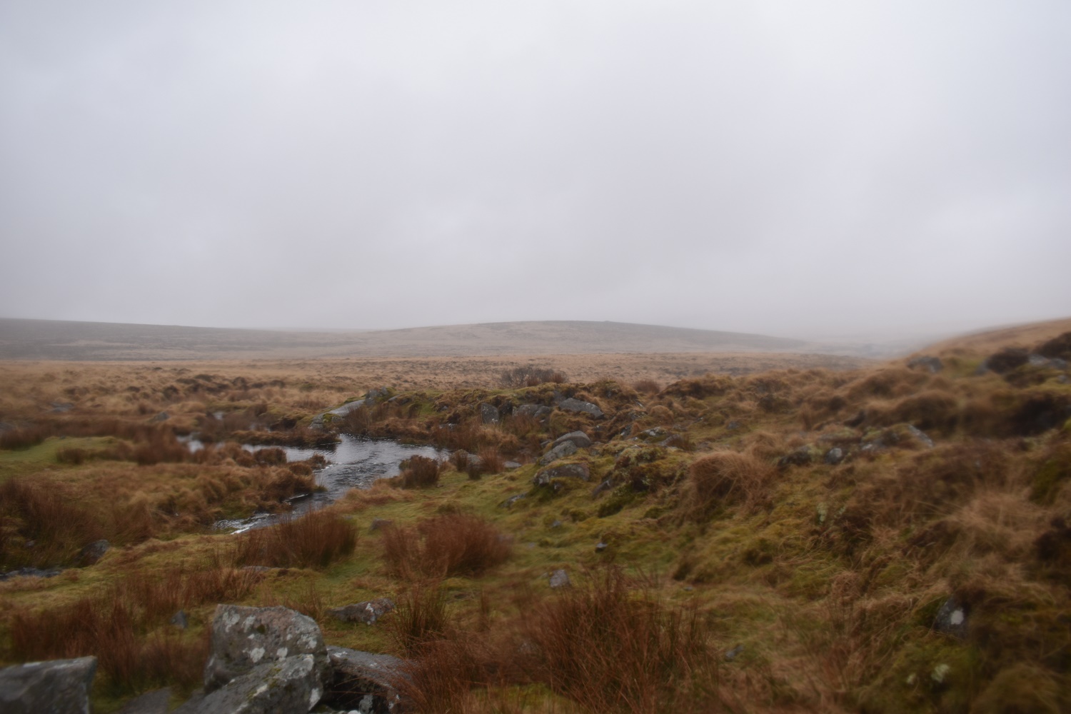
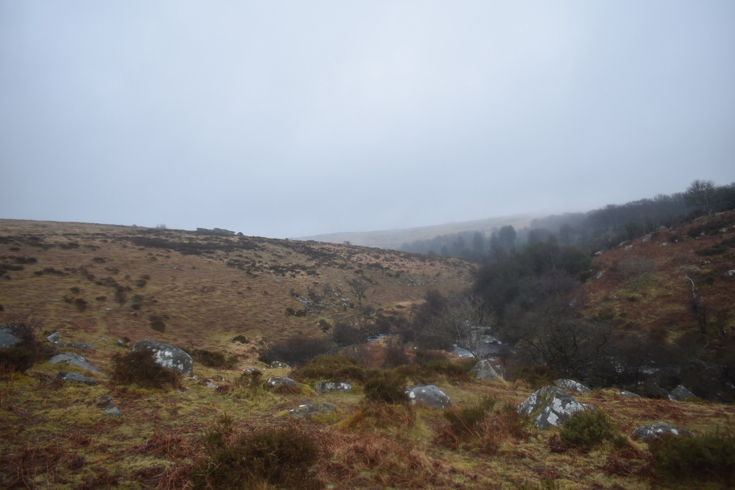
The very wet depression of Gidleigh Common from Rival Tor. Down there is the Walla Brook, the stream that comes from Gallaven Ford and the North Teign river, plus many marshes and bogs. There are a few paths that cross that area but I haven’t been that way yet

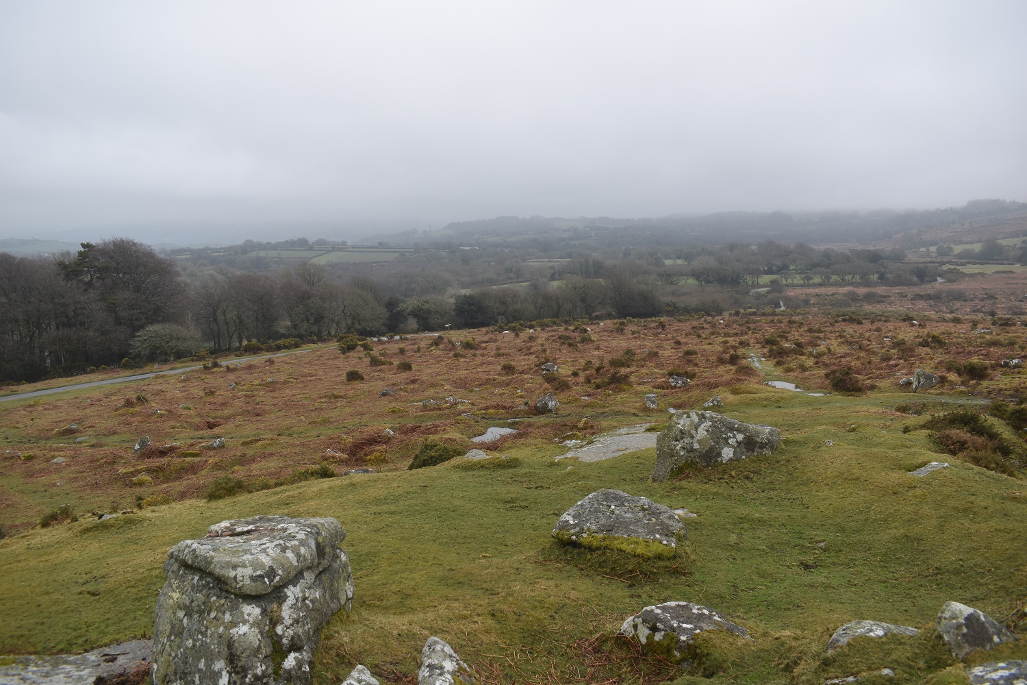
Buttern Stone circle, not the finest example on the moor as the majority of the stones are now lying flat
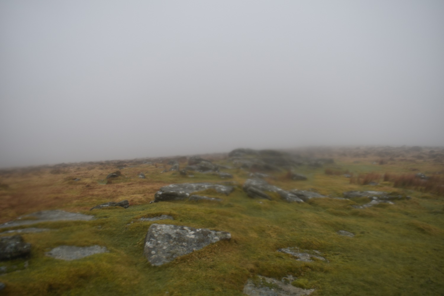
A very murky Buttern Hill, it was raining by this point

Better at Scorhill with the cloud lifting a little
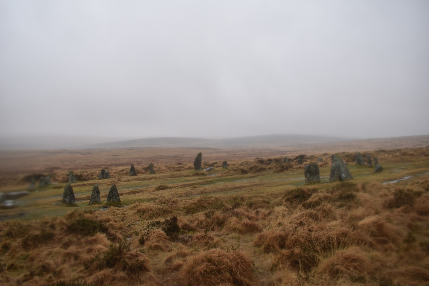
Rival Tor beyond Scorhill Stone Circle
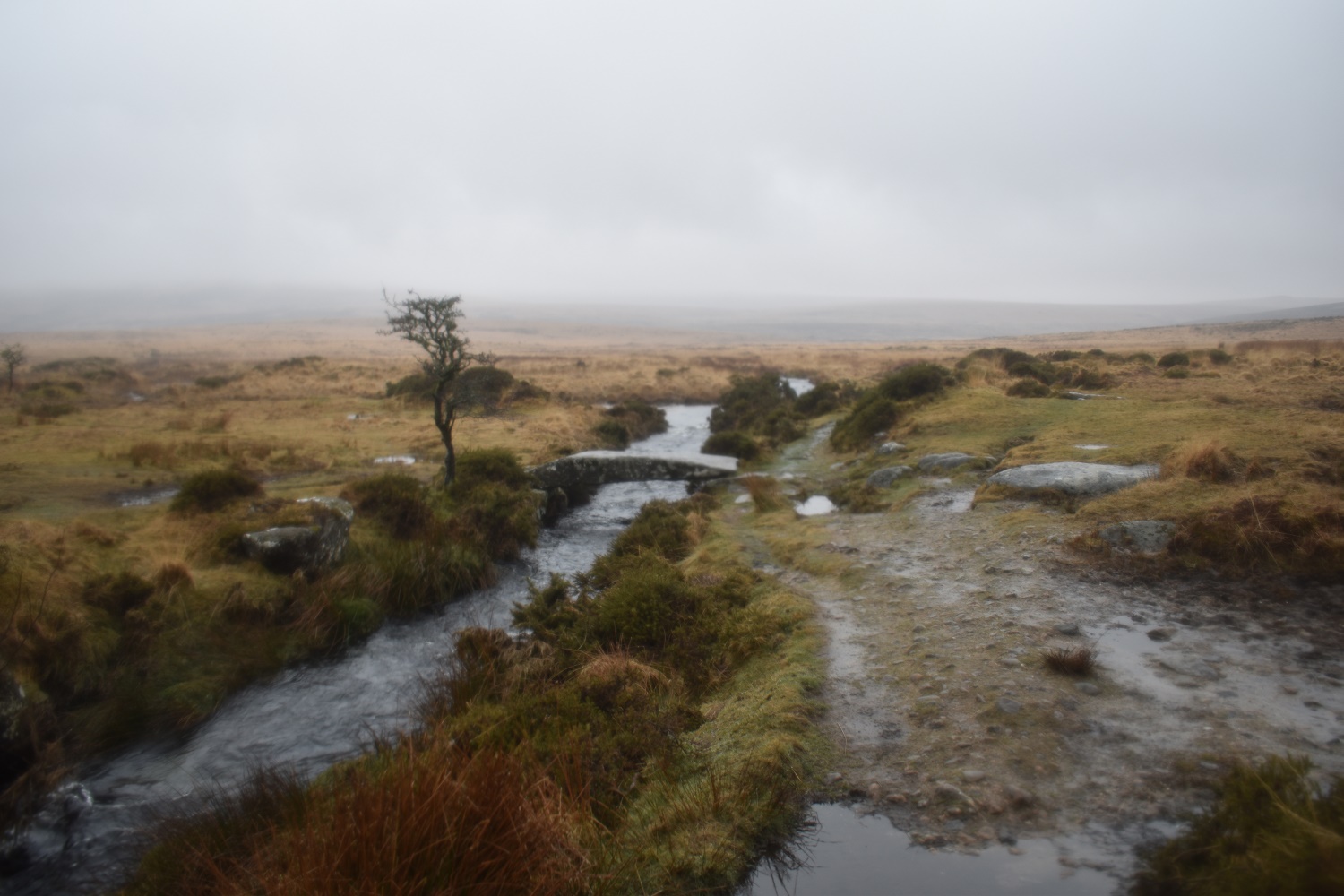
The Walla Brook clapper bridge. With all the rain last night the brook was running fast. Manga Hill can just be seen behind
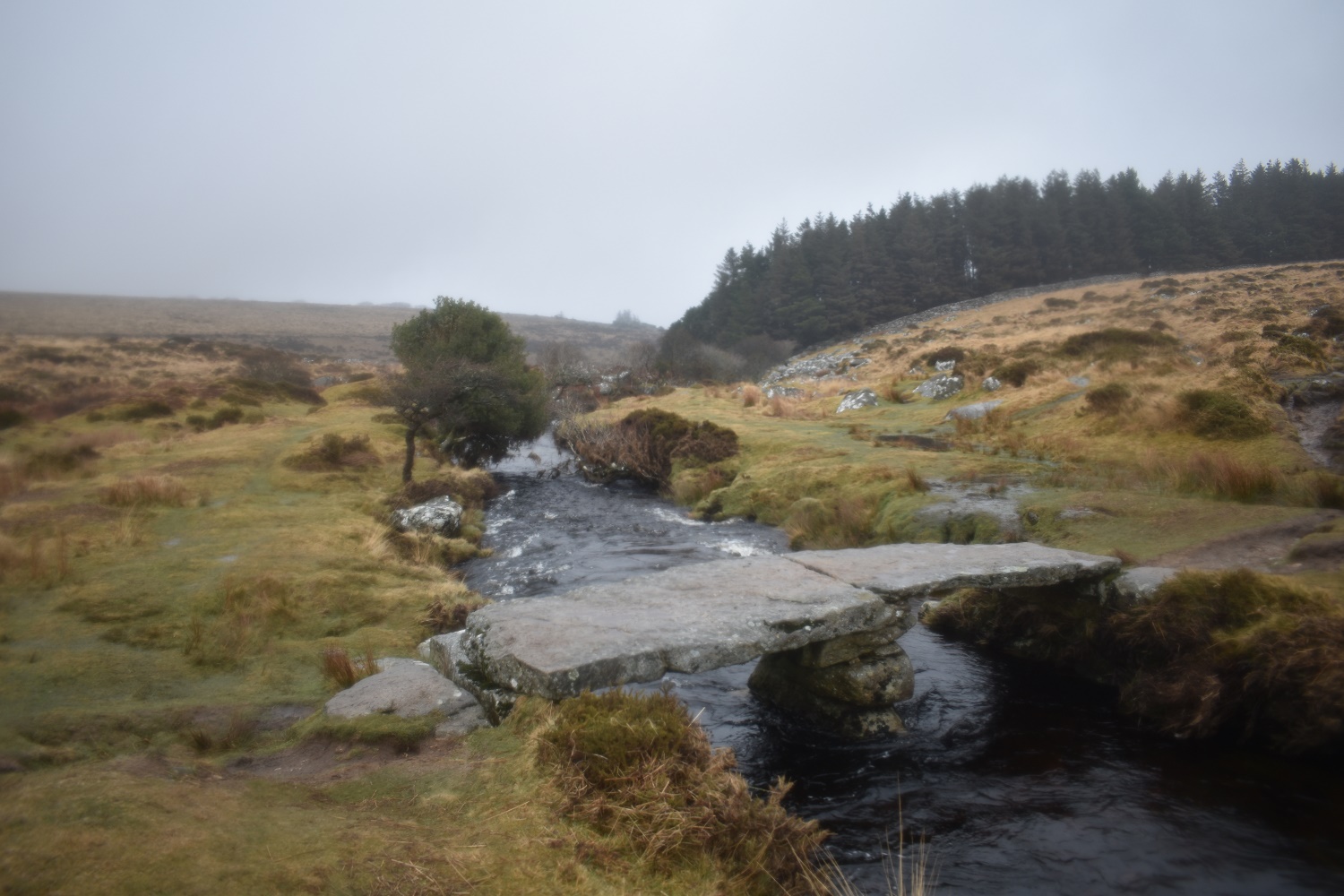
The Teign-e-ver Clapper, again the water was flowing here as well
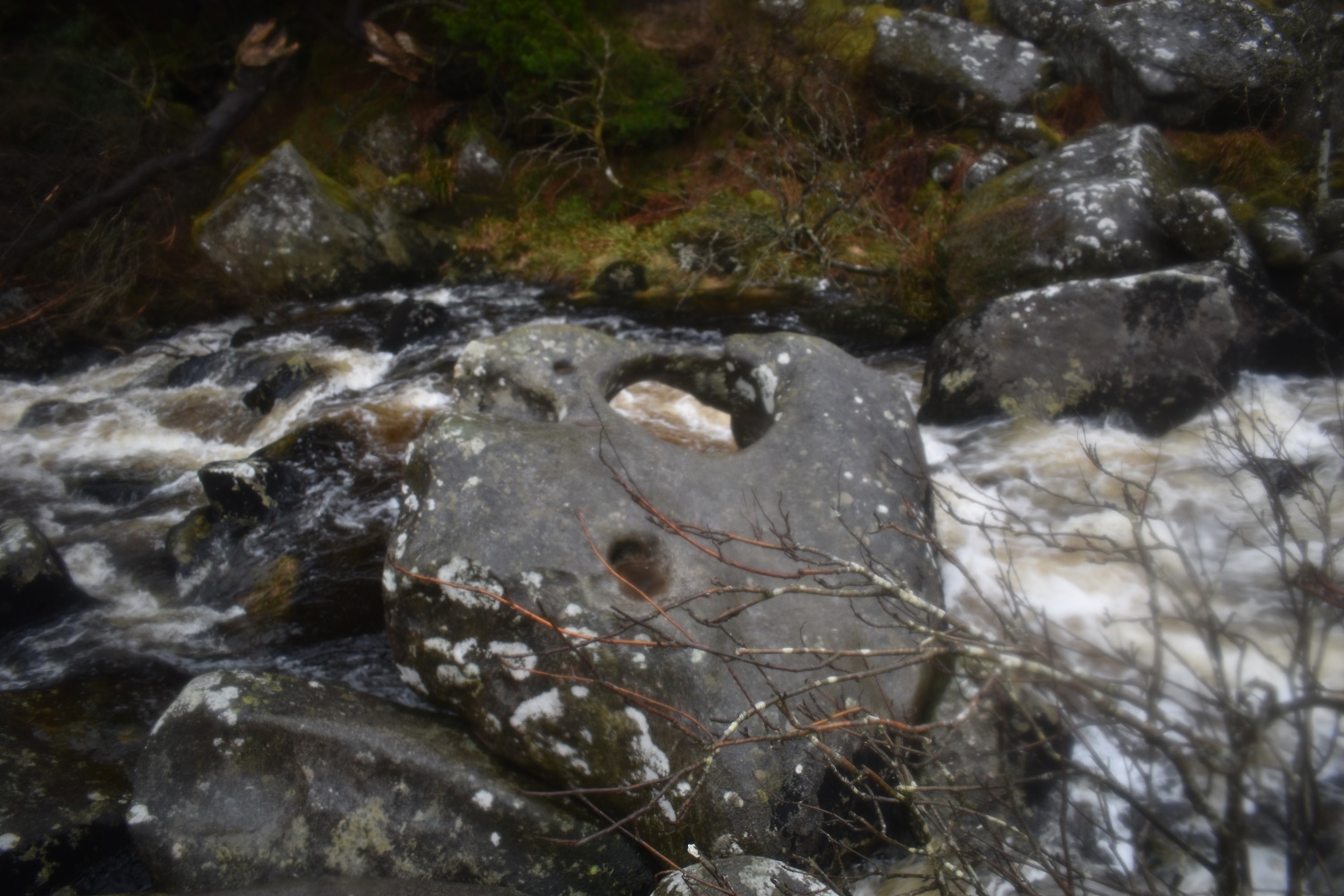
Just down from the two clapper bridges is the Tolmen Stone, no passing through the hole today for me though so I’ll have to suffer my rheumatism for a little longer!!!
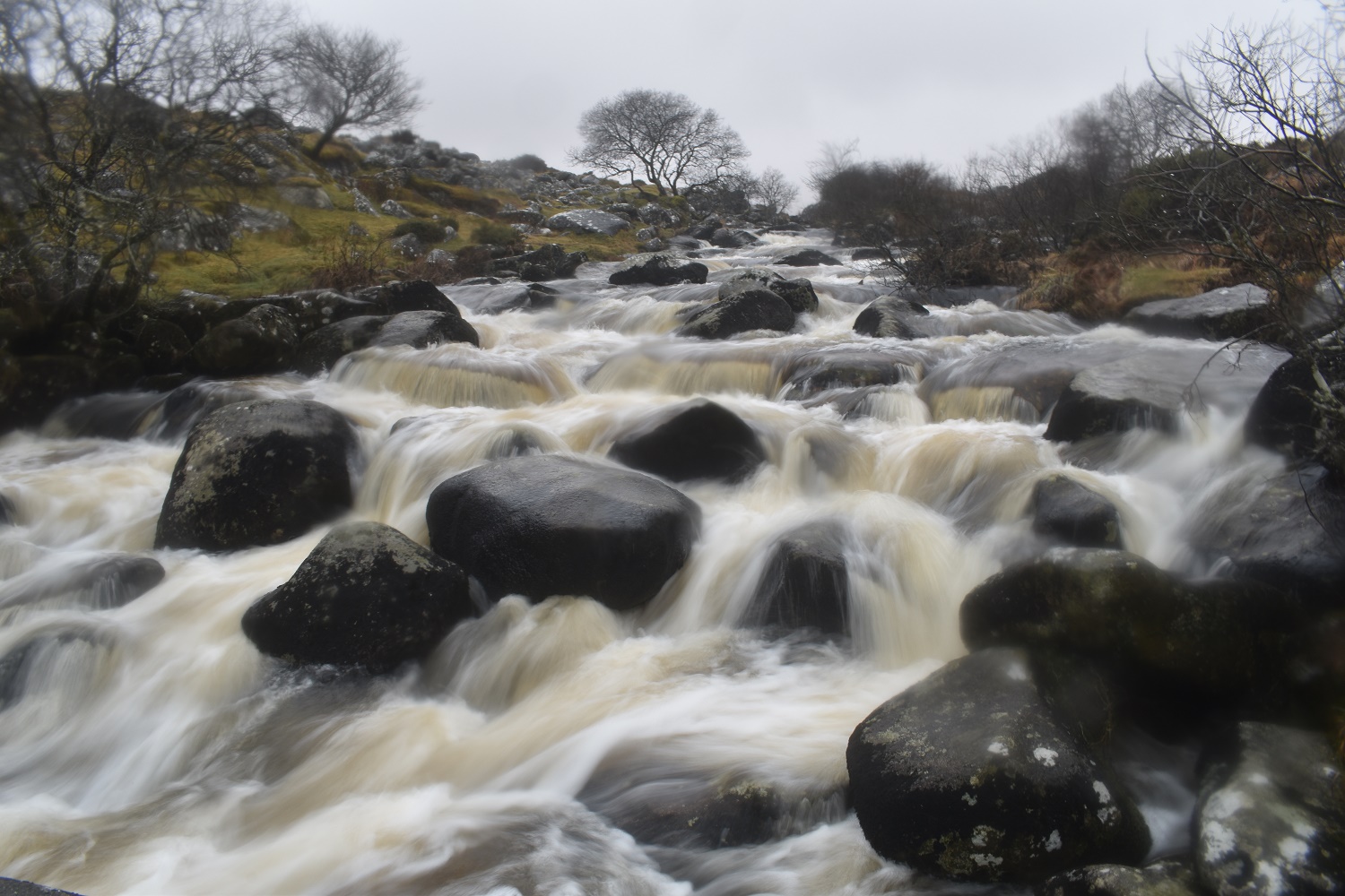
The Teign in full spate
Scorhill Tor is just over there on the hillside, The Teign below.
Scorhill Tor on the left, the right hand corner of the trees is where the two bridges and the Tolmen Stone sit. Just a short walk to the car from here


Some nice photos of the rivers and bridges to liven up a dreary day
LikeLiked by 1 person
I was a tricky day for photos with the low cloud and drizzle but I’m glad I reversed the walk to give lots of interest at the end
LikeLiked by 1 person