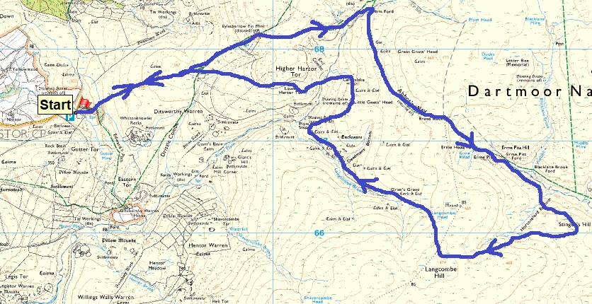
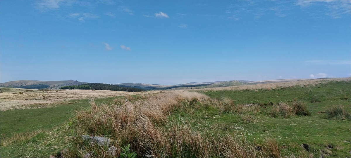
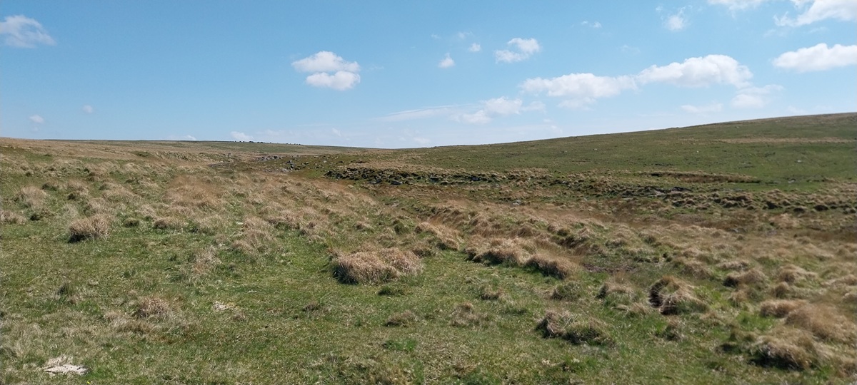
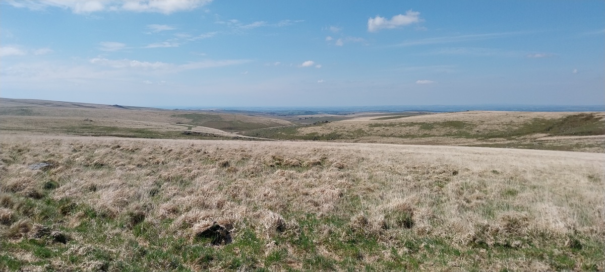
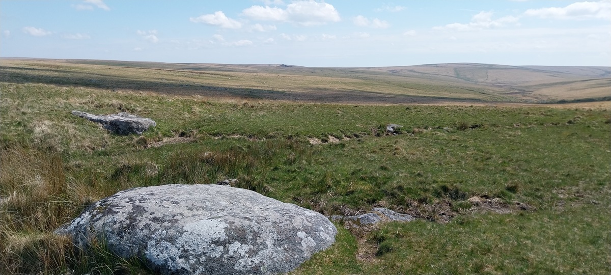
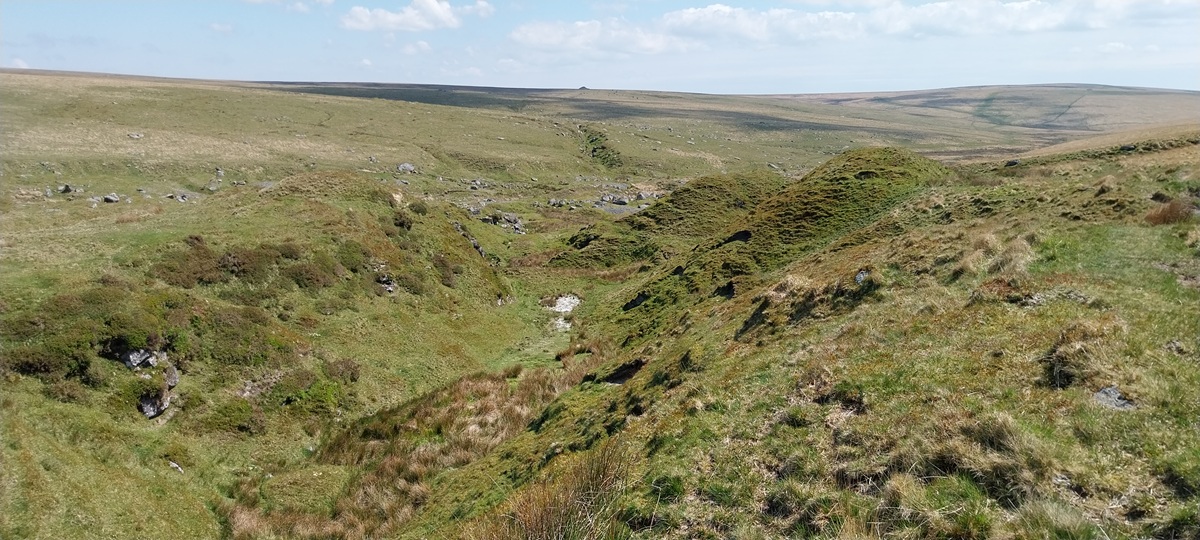
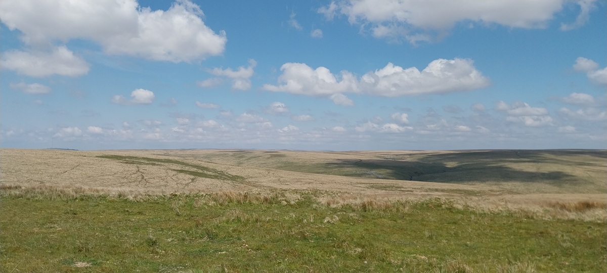
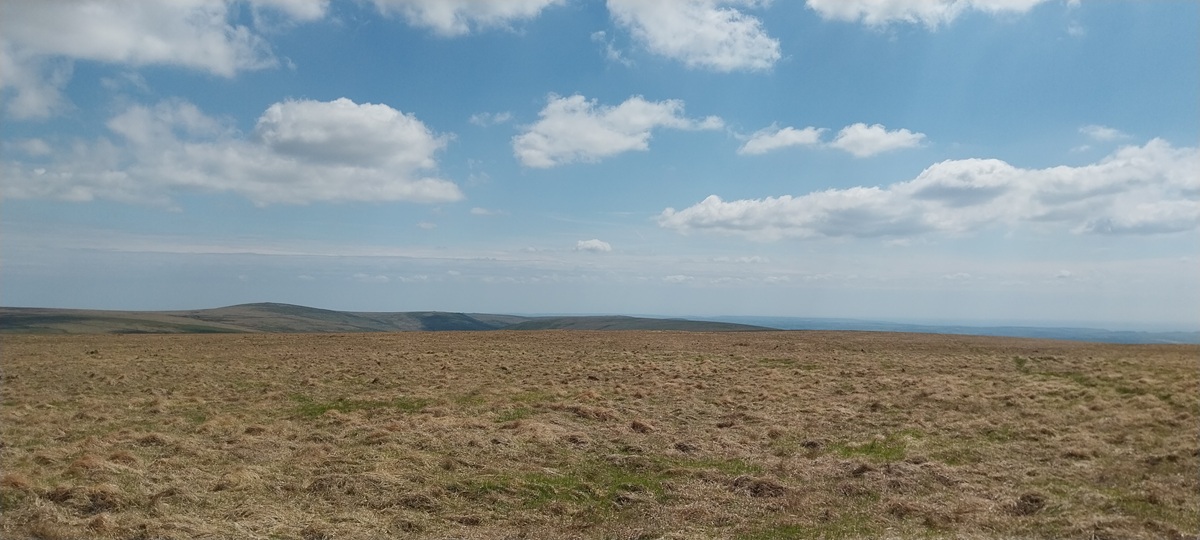
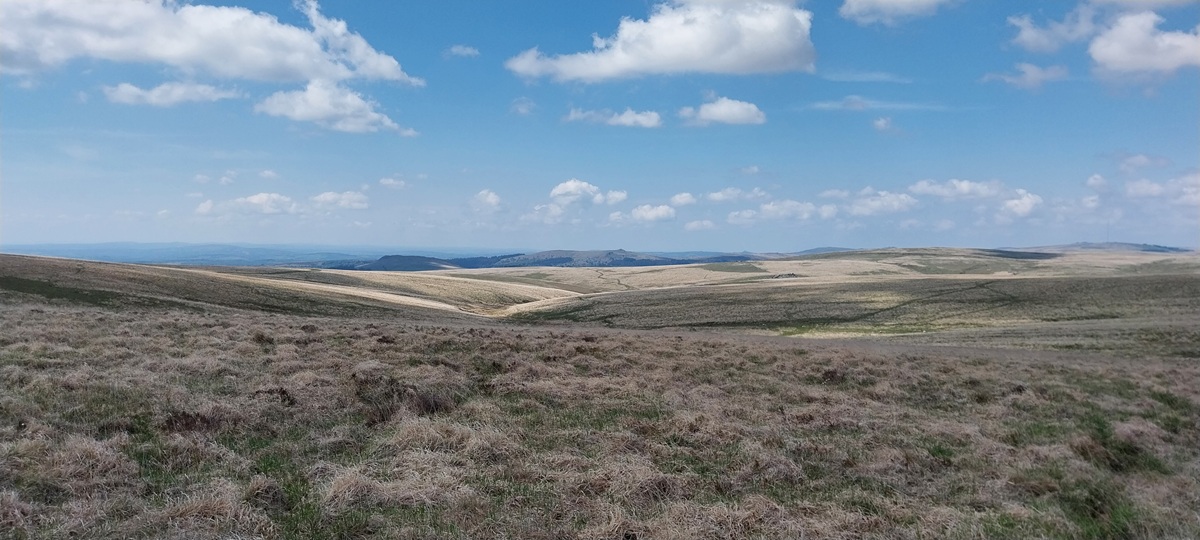
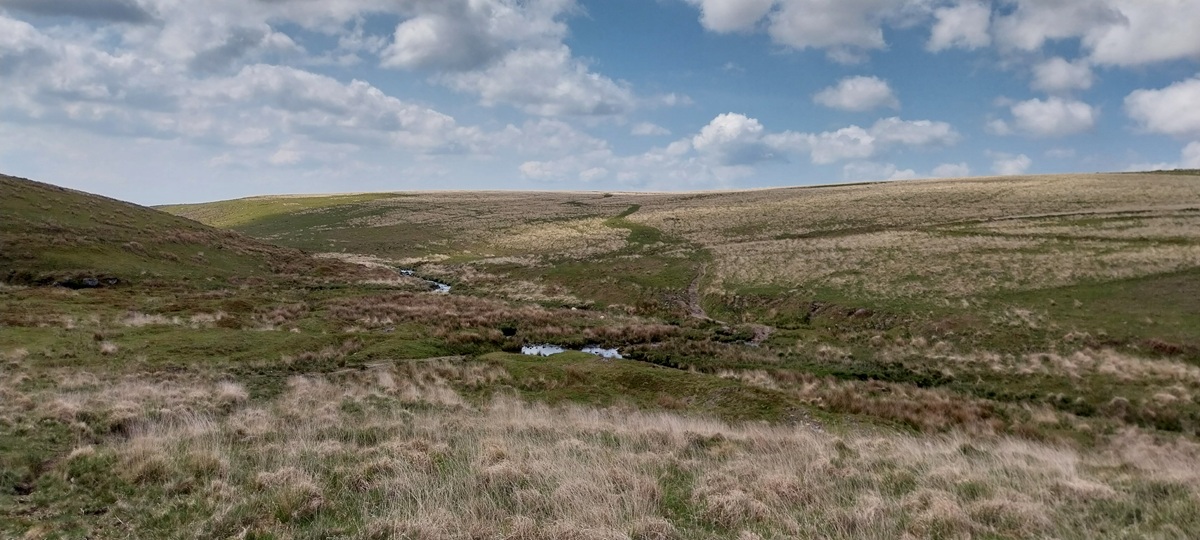
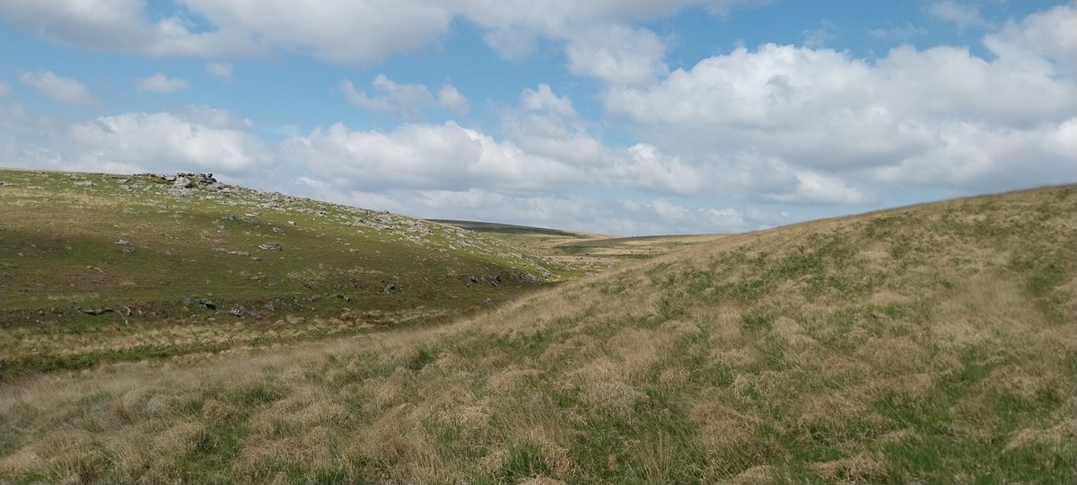
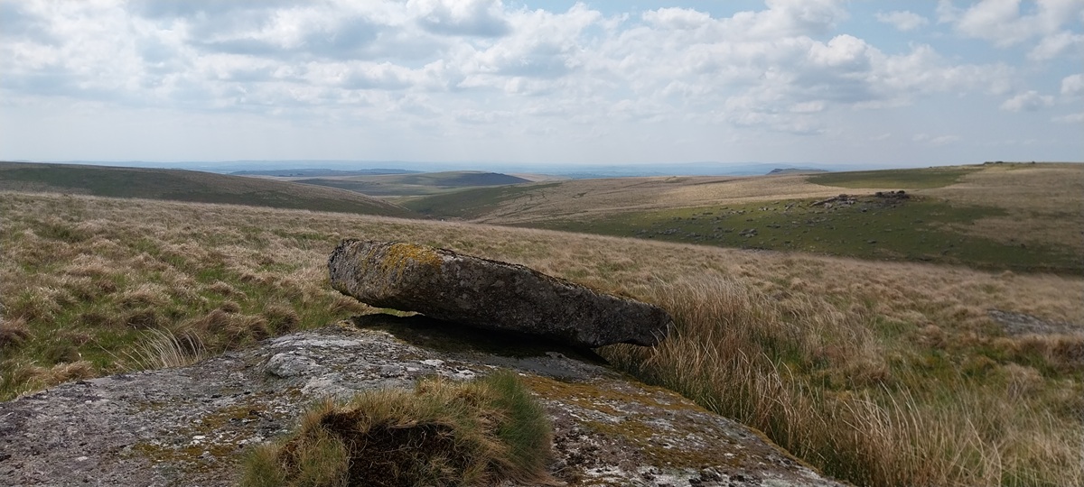
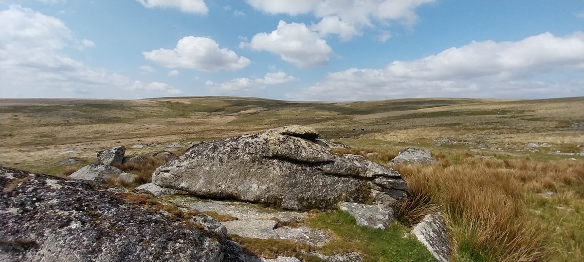
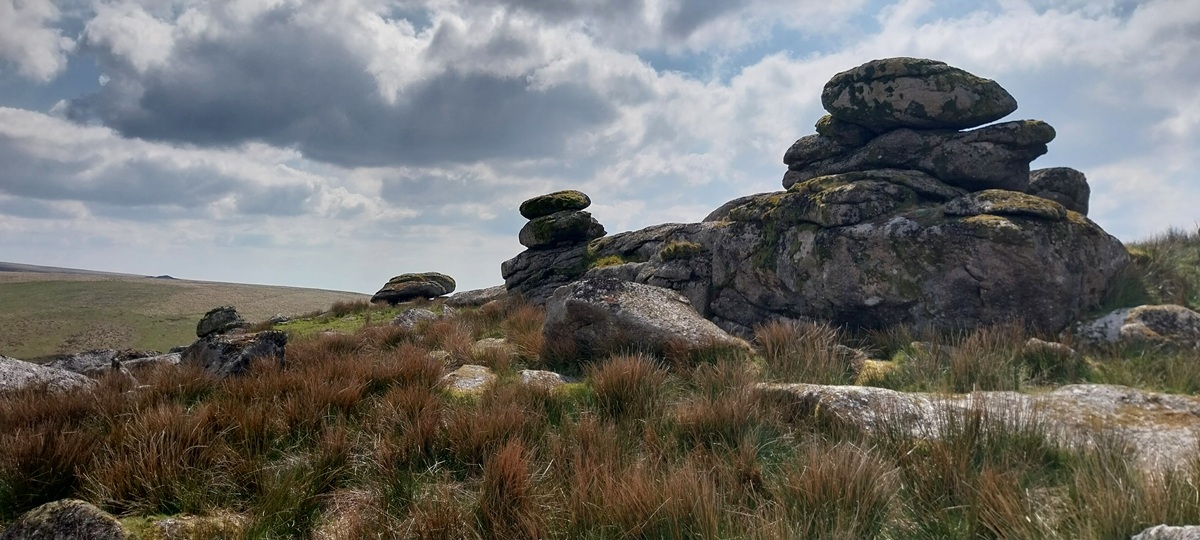
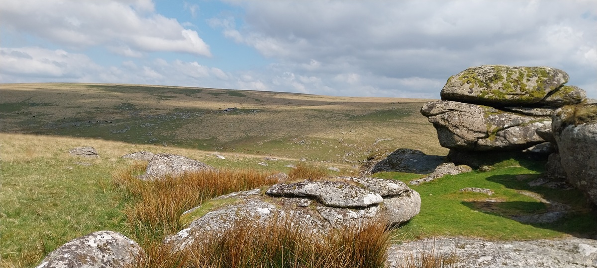
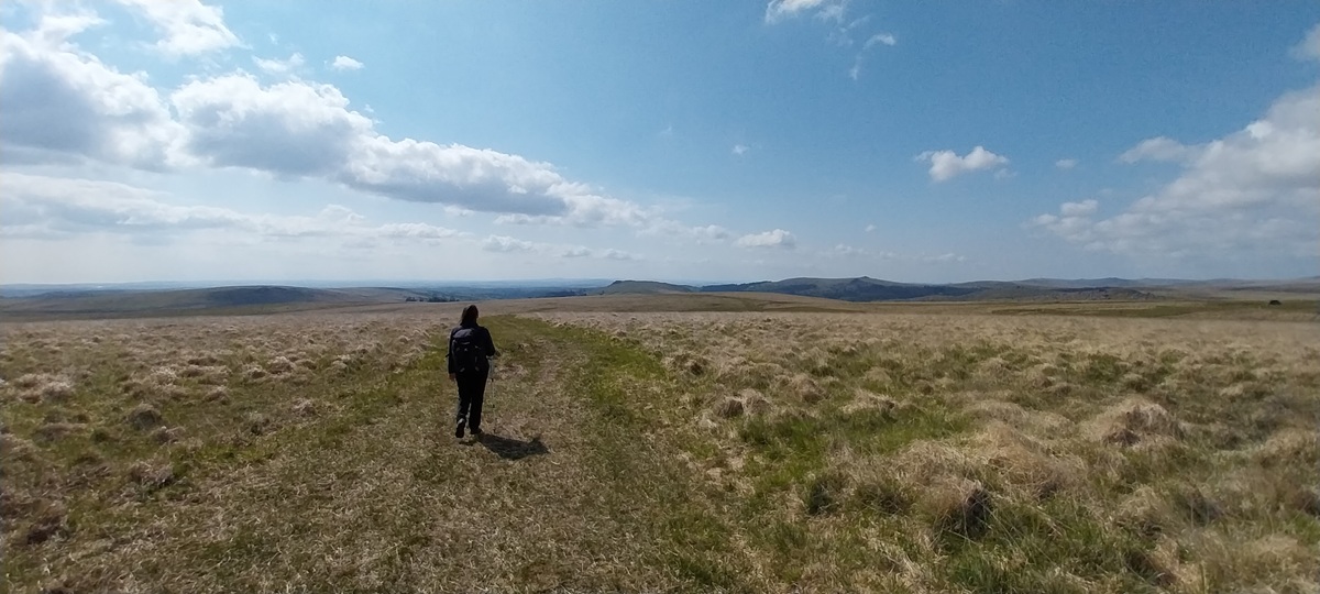
I did think about creating a title for this walk which included armpits and bottoms, but I reverted to type and stuck with the names of the visited places. This is a walk heading into the central south moor and an area I don’t walk too often. It can be very boggy in here, the paths are minimal at best and some tufty sections. That said once there, it can be a fantastic area, solitude is at maximum levels and Lower Hartor Tor is a very underrated outcrop. We started out from the Gutter Tor scout hut car park, heading up along the wide path towards Eylesbarrow and the tin mine, we turned off before the summit of Eylesbarrow heading to Plym Ford, we would cross the infant River Plym there and head along the Abbot’s Way to Broad Rock, where we had lunch. We continued to follow the Abbot’s Way towards Stingers Hill, turning uphill from there, following Hortonsford Bottom to Langcombe Hill. We then dropped down to Langcombe Head following the brook, passing Grim’s Grave and Deadman’s Bottom, we almost reached Plym Steps but instead turned uphill to Little Gnat’s Head and Calveslake Tor. We then had a decision to make on how to cross the River Plym. We chose the direct route, straight for Lower Hartor Tor. This is a very good outcrop, particularly from below so we had another break there to enjoy the views. All that was left was to contour around the Higher Hartor Tor and pick up the main path back down to the scout hut and the car.
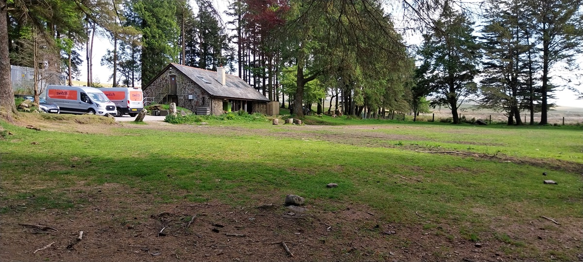
Start – Gutter Tor parking
Route – Eylesbarrow Tin Mine – Plym Ford – Abbot’s Way – Broad Rock – Erme Pits – Stingers Hill – Langcombe Hill – Langcombe Head – Grim’s Grave – Deadman’s Bottom – Little Gnats Head – Calveslake Tor – Lower Hartor Tor – Gutter Tor parking
Distance – 10 miles Start time – 10.45am Time taken – 5hrs 20 mins Highest Point – Langcombe Hill 474 metres
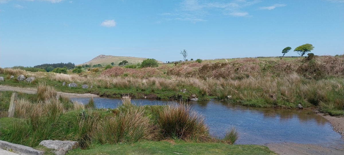
Weather – Sunshine, blue skies but windy


I do sometimes wonder about the story behind the naming of these places, if there is one. A bit bare and a bit grim in places. It’s all about the challenge of getting high 😉
LikeLiked by 1 person
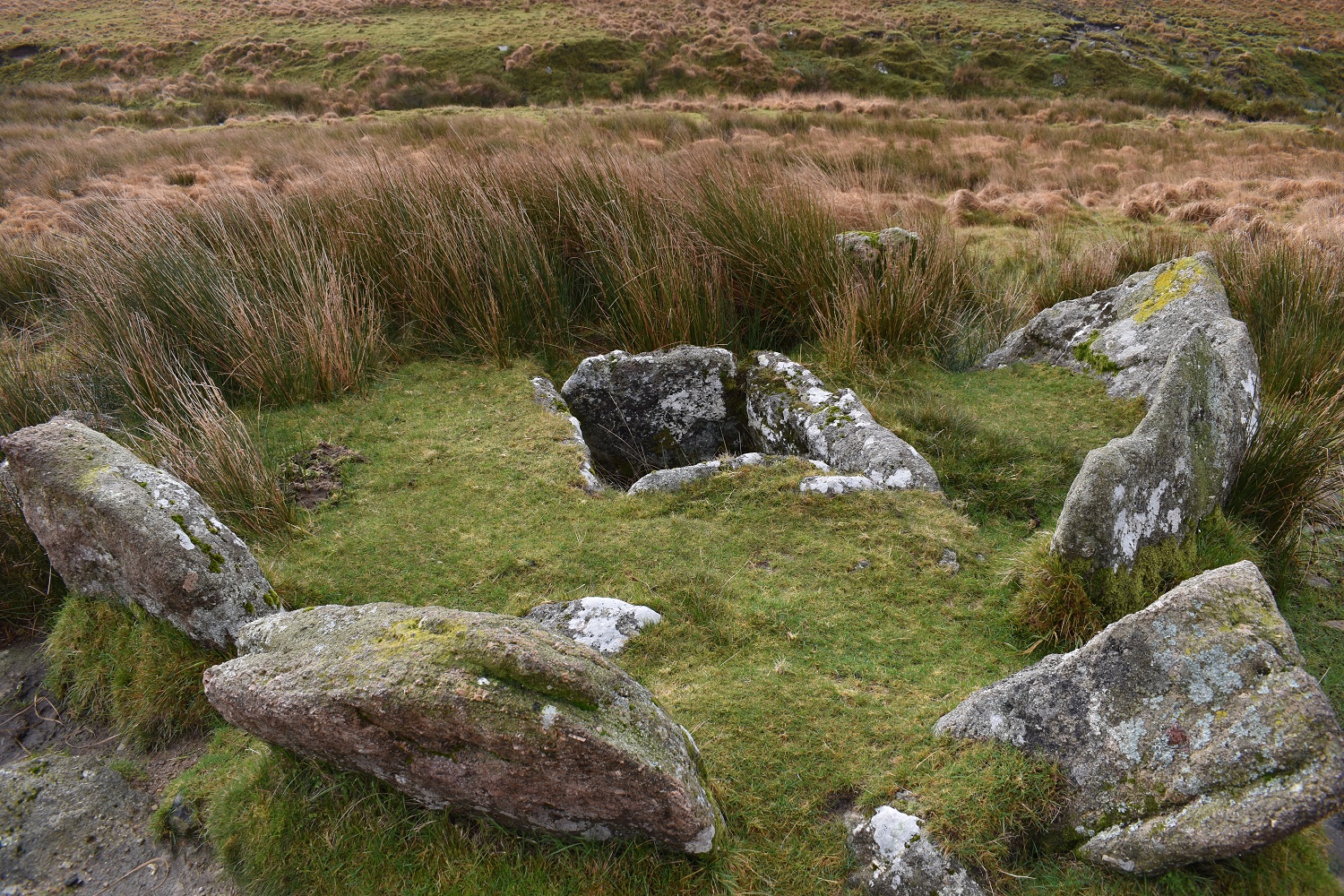
I know that Grim is a variation on Grimr, which is an old norse word for Odin. Deadman’s Bottom is fairly literal as a man was found there around 200 years ago in the small valley
LikeLiked by 1 person
We found so many funny names when we visited Newfoundland few years back.
I bet there was a reason or two when they named them like that😊
LikeLike
Grim is believed to be a variation on Grimr, an old norse word for Odin
LikeLiked by 1 person
Good up there. Did a night walk that way nearly 40 years ago. Erme Pits looked incredible in the moonlight.
LikeLiked by 1 person
The mounds there are pretty good and have a nice shape to them, which would look good in the moonlight
LikeLiked by 1 person
What wonderful names. 🙂
LikeLiked by 1 person
I’m sorry we didn’t get a look at deadman’s bottom, but Evil Combe belies the name.
LikeLiked by 1 person
There’s some great names around that area, I thought I should protect viewers from seeing the sight of Deadman’s Bottom
LikeLiked by 1 person
Lovely walk. I like the open views.
LikeLiked by 1 person
Another lovely walk. I really like that there’s a sheeps tor – who could resist 🙂 The sweeping views are much prettier in summer than they were in winter!!
LikeLiked by 1 person
The ground is a lot better in the summer as well 😁
LikeLiked by 1 person
Some of those photos really capture the huge expanse of Dartmoor and as always loads on interesting stuff on the route
LikeLiked by 1 person
The walks we are doing tend to pick off the interesting spots now. We’ve visited the tors quite a bit now so the other stuff can take the lead
LikeLiked by 1 person