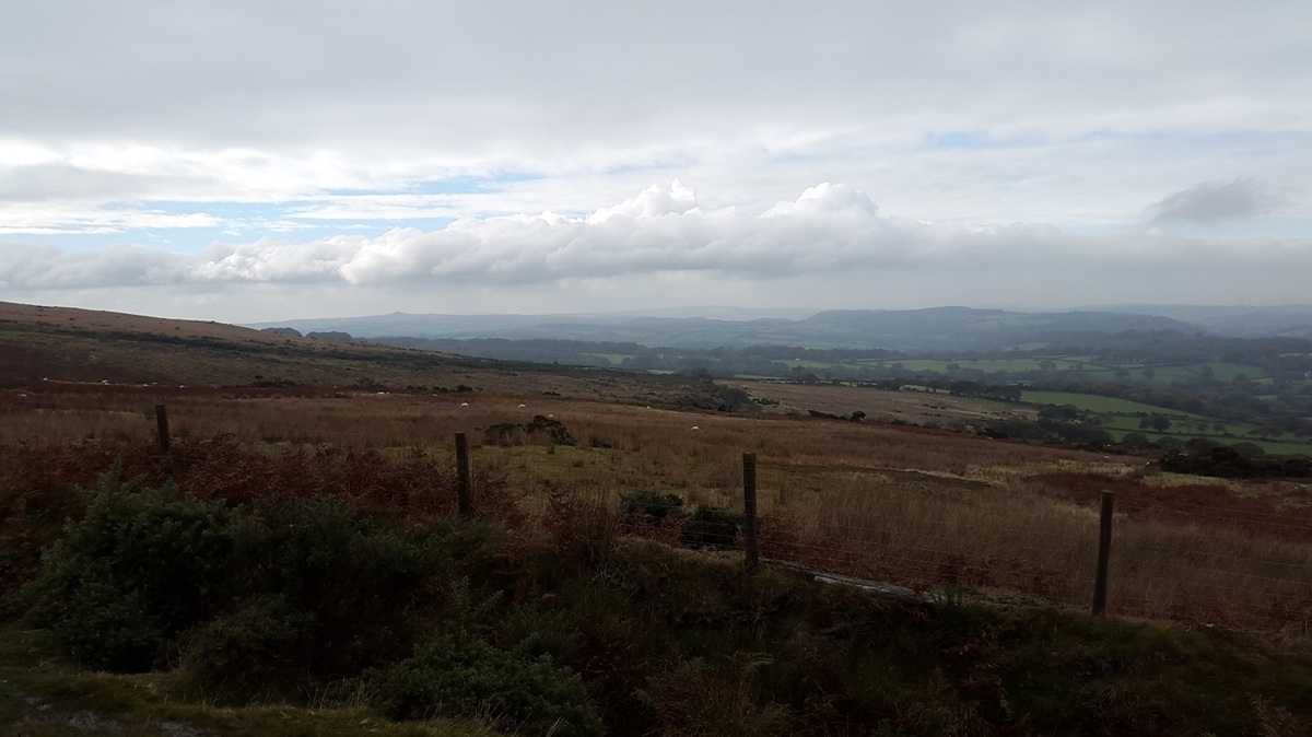
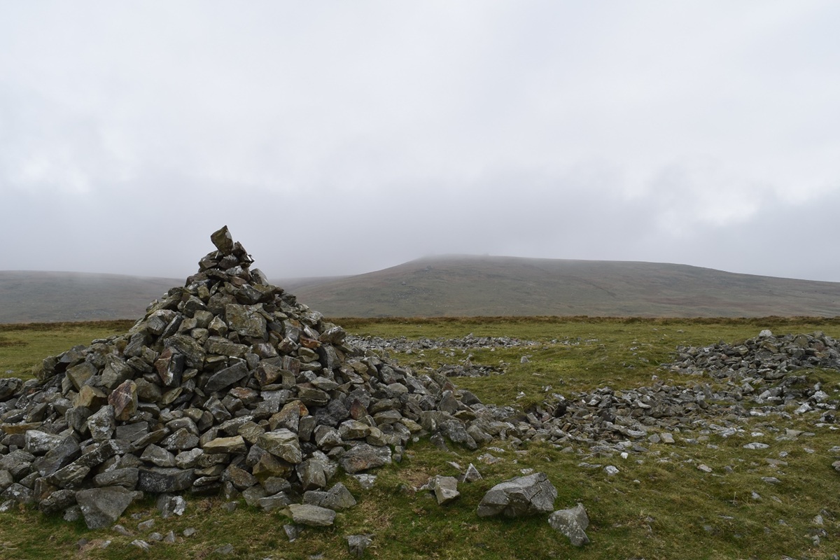
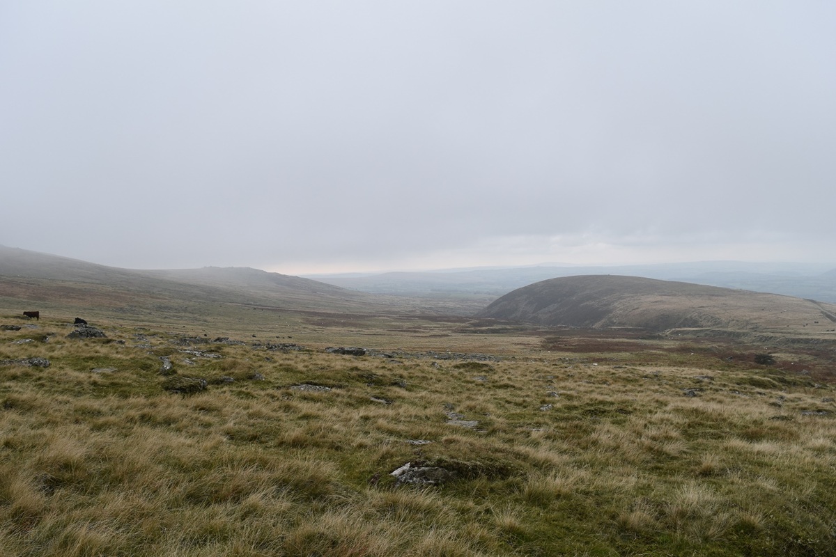
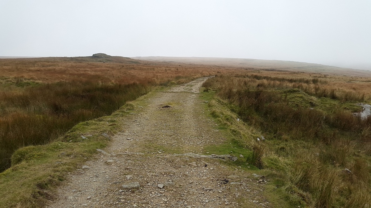
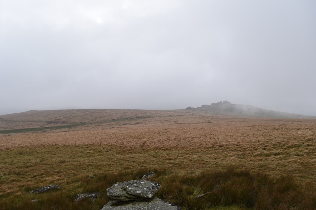
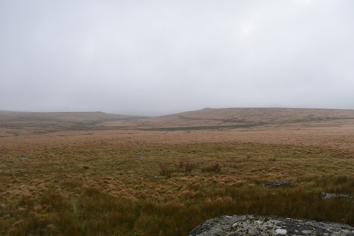
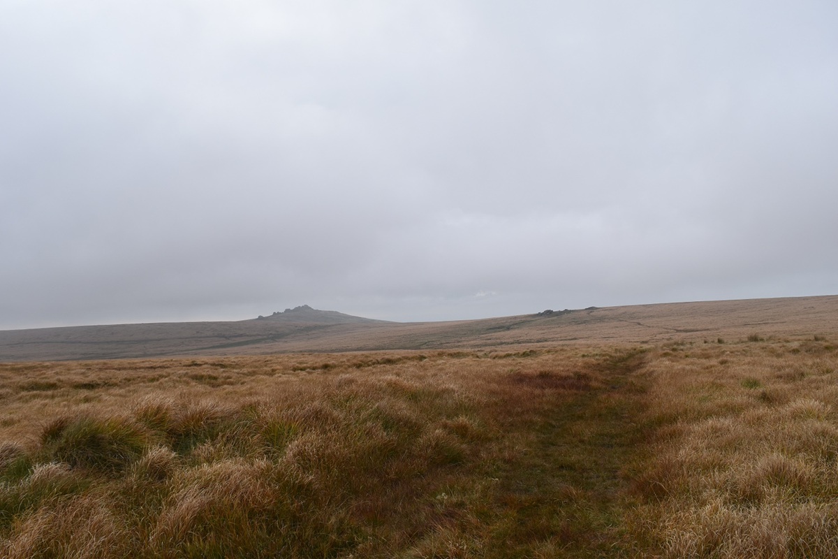
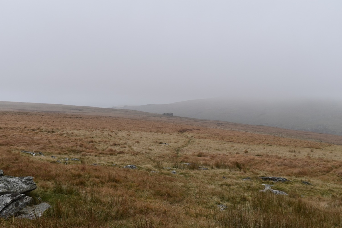
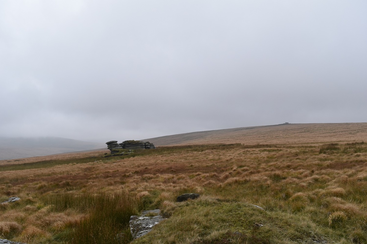
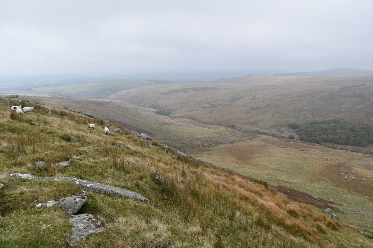
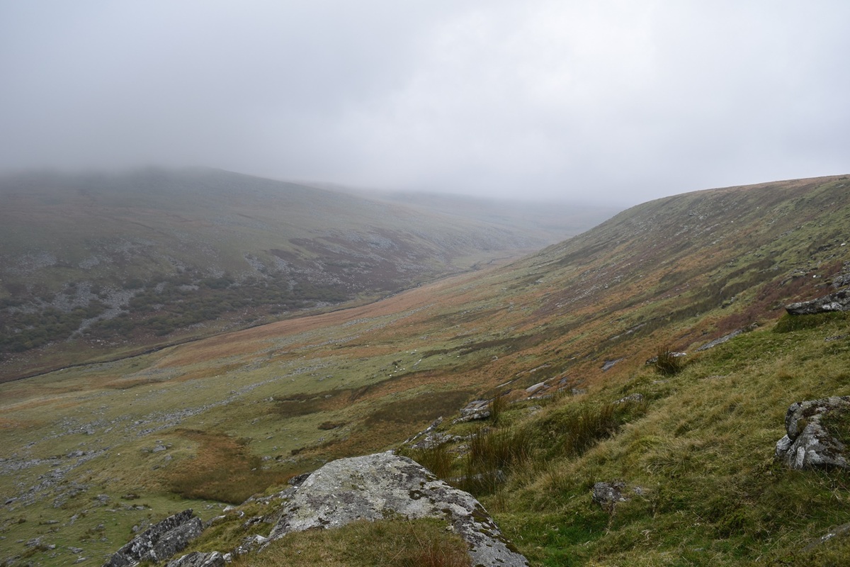
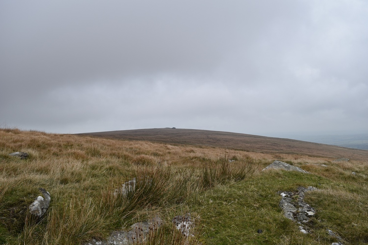
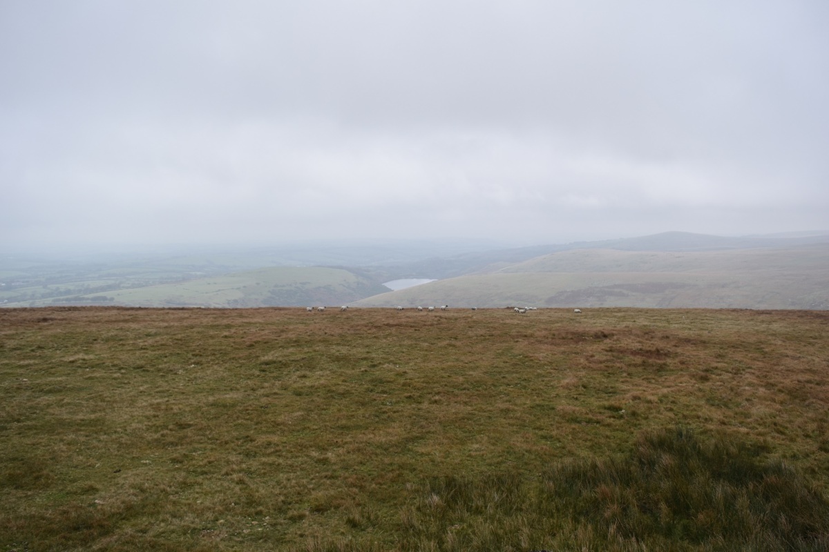
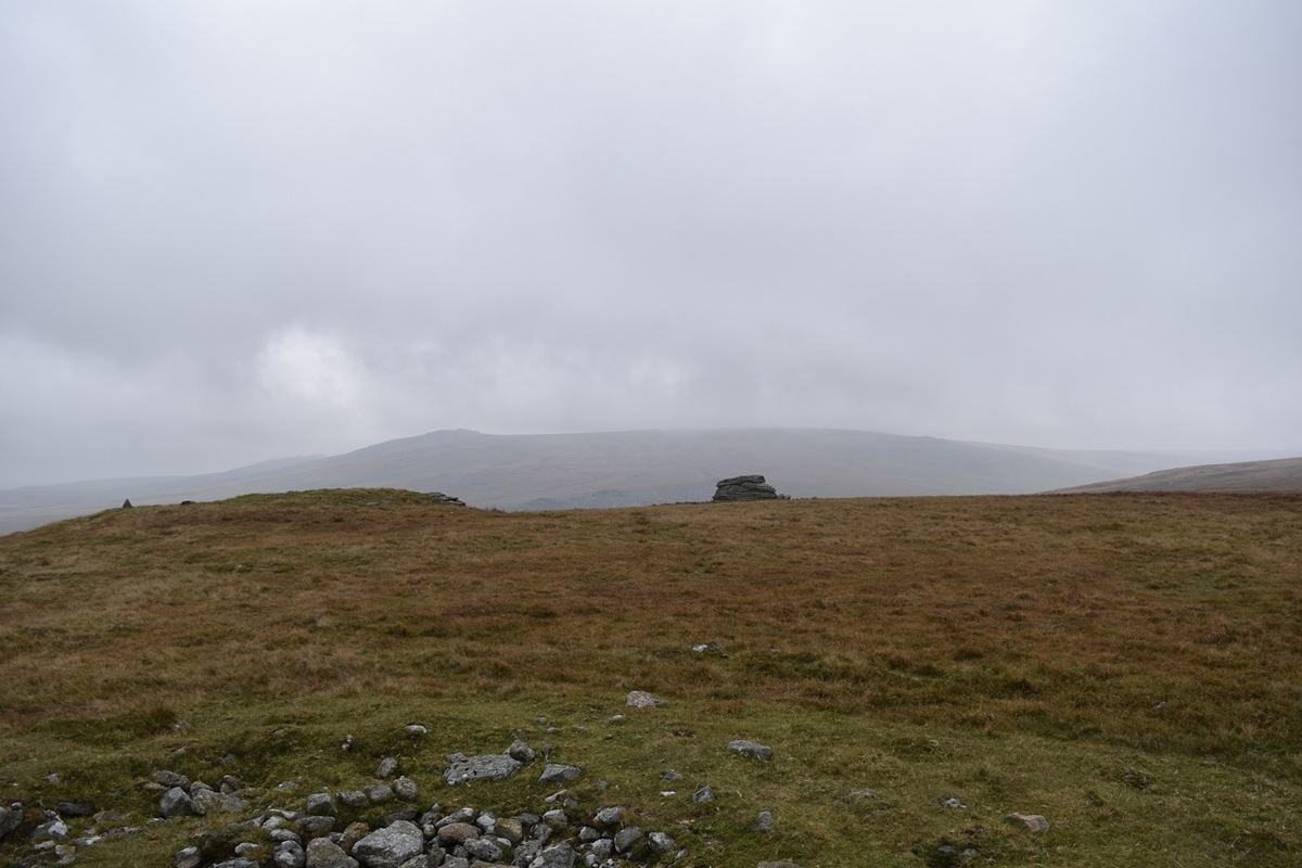
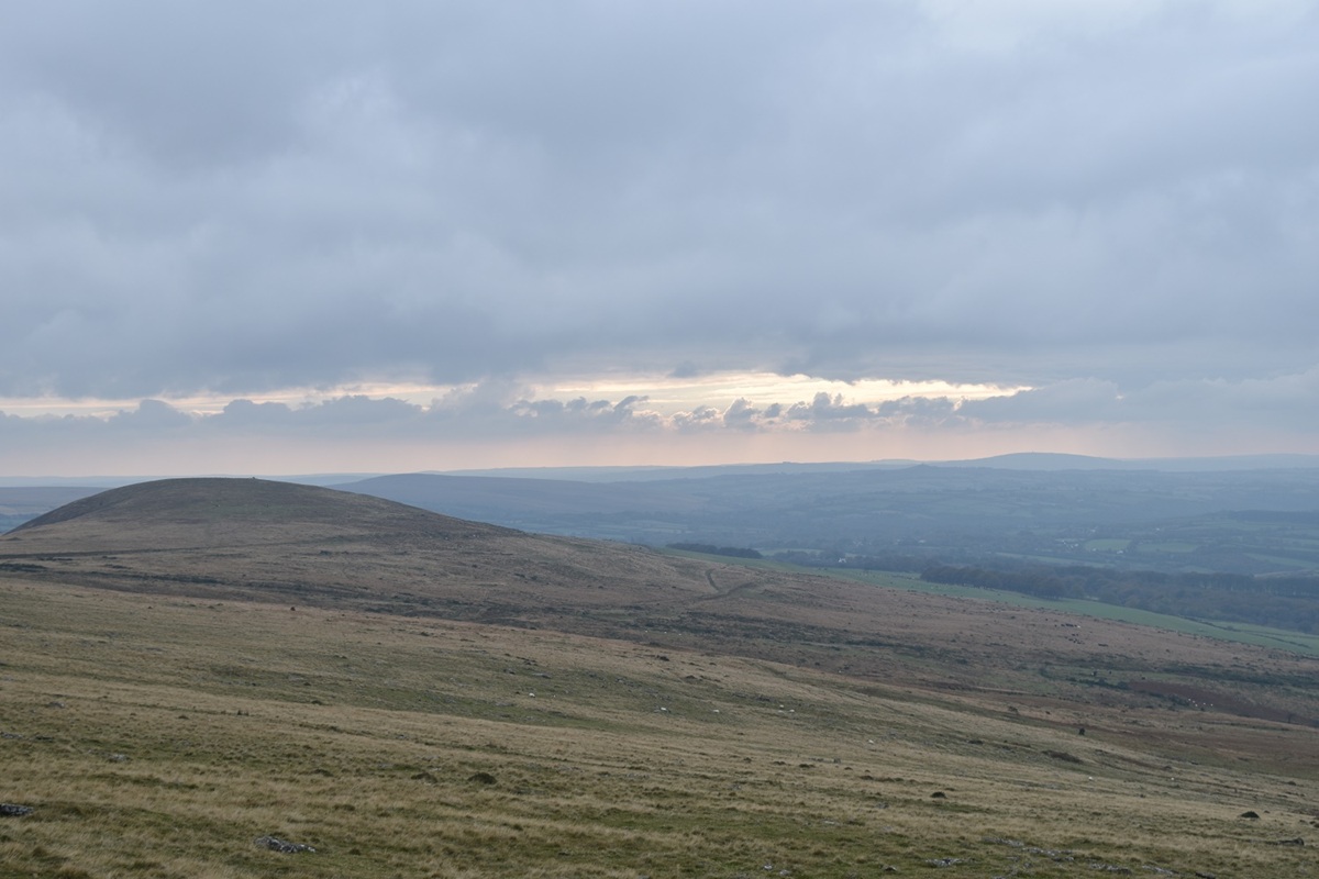
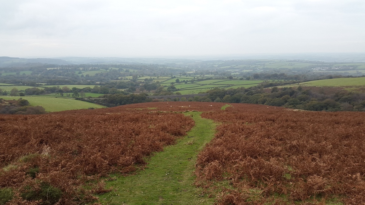
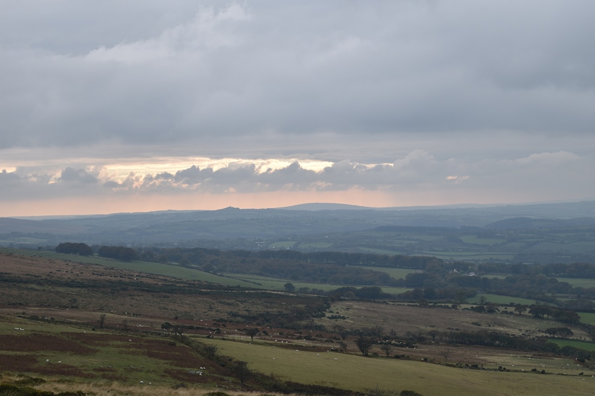
This wasn’t the walk that was planned for this weekend, originally I had ear marked Cosdon Hill to Hangingstone Hill as the walk for today. However when I joined the A30 at Okehampton, having driven through some sunshine around Lydford, I hit low cloud and grey skies. I turned around and headed back to Lake to have a walk around Hunt Tor instead, hoping to have cloud free tops at least. The day was mostly free of cloud, just, however the sun never came out and as a result the day was mostly painted in the grey palette!!
| Start – Lake |
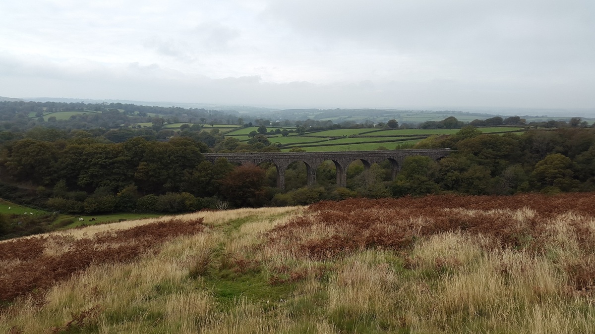
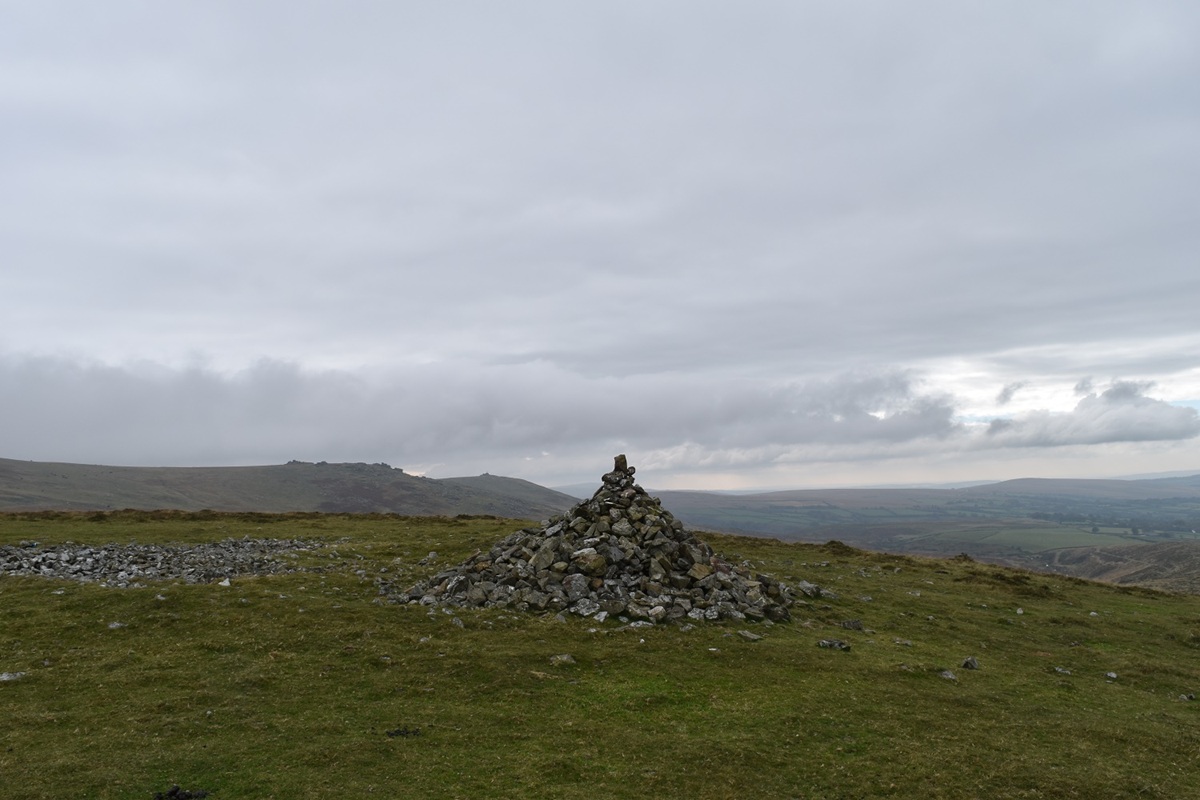
| Route – Lake viaduct – Great Nodden – Rattlebrook railway – Lydda Bridge – Gren Tor – Hunt Tor – Kitty Tor – Stenga Tor – Slipper Stones – Branscombe’s Loaf – Lake viaduct |
| Distance – 7.5 miles Start time – 11.20am Time taken – 4 1/2hrs Highest Point – Kitty Tor 585m |
| Weather – Dull and grey, cloud all around |


It may have been grey but it still made for some awesome photos! I find the best walks are the unplanned one sometimes. 🙂
LikeLiked by 1 person
A lovely area for walking with lots of high ground. Not far from Lydda Bridge lies the site of a fatal Flying Fortress crash in 1943. Wondered if you visited it on the walk and could give directions as I’d like to get there some day and I understand it’s not marked.
LikeLiked by 1 person
There is a small plaque there apparently, both legendary dartmoor (search on that website for dartmoor aircraft crash sites) and heritage gateway mention the site. Legendary dartmoor has a photo or two of the site and Heritage Gateway gives the grid location of SX 551 884. Which puts it a few hundred metres north east of Lydda bridge. Hope that helps
LikeLike
Thank you very much. That’s really helpful.
Regards
Graham Brown
Sent from my iPhone
>
LikeLiked by 1 person