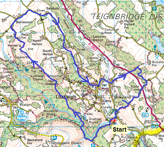
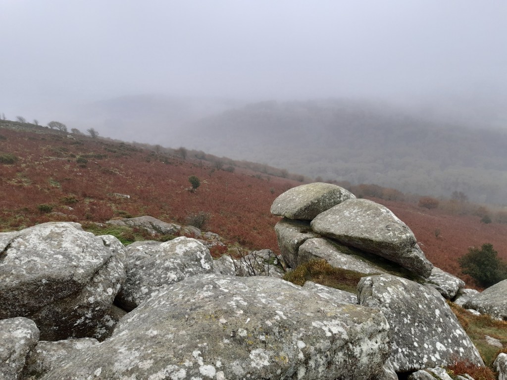
Another weekend in November and they seem to be going the way of every other November weather wise. More often than not they are wet with low cloud and high winds. Well this one had the wet and the low cloud, but very little wind. It was a truly dank day. North Devon and the rest of the country was clear and sunny, but not South Devon, not today. As a result the normally great views along Lustleigh Cleave could not be seen but this is replaced with more tors than you can shake a stick at. Lustleigh is full of rocks, outcrops, boulders and tors and this walk picks up a fraction of them. I also wanted to have another go at Great Warmpit Copse Tor and then head around to Slade Copse and Higher Knowle Wood, two places I haven’t been to before. All in all it was a fairly long walk and one that could easily be changed to pick up a different lane back to Lustleigh or stop in Lustleigh and head to the pub, if it is ever allowed to open again properly.
Starting out and a marked difference in colour from a few weeks ago, more green and brown only now. The yellows and oranges have gone from autumn as we head full on into the dark winter months
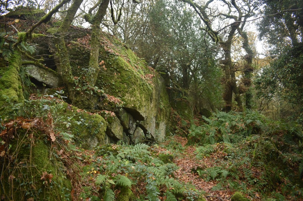
I hadn’t walked this path in Pullabrook Woods before, however I can tell you that you should not cross anything that ever look like this. Tussocky elephant grass is common in bogs, and sitting right by the River Bovey as the path turns this is one. I did hold the faint path by the river for a short while into this, ignoring the gate and stile. Having gone ankle deep and then prodded forward with my walking pole to find it disappear completely, I retreated. Bogs aren’t just on the moor proper but are very prevalent in woods as well.
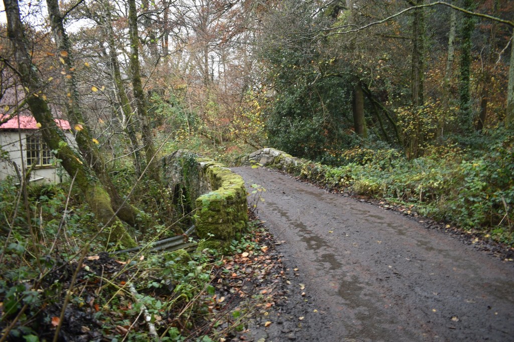
Back on the main path to Hisley Bridge
And here it is. A classic packhorse bridge
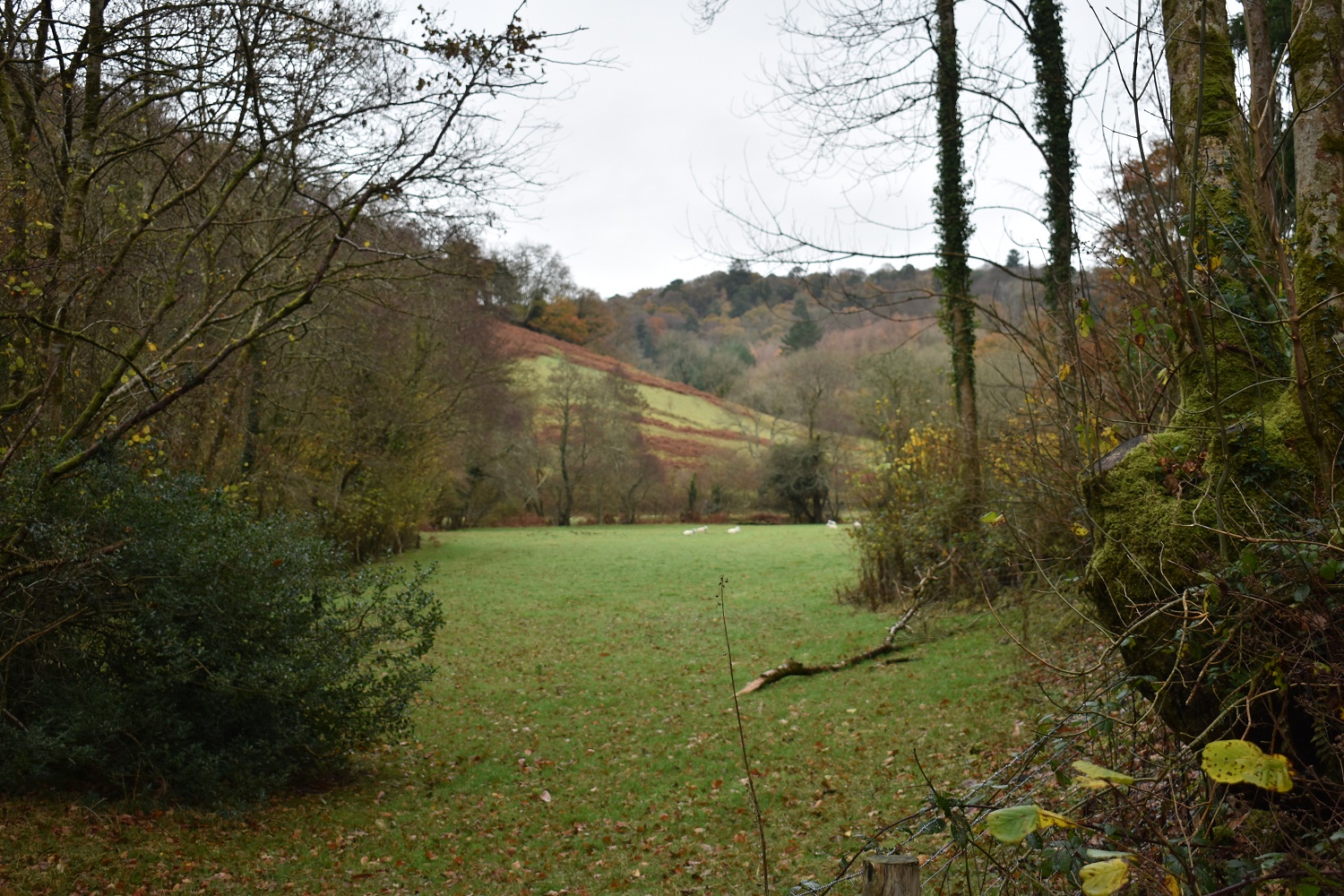
This fella was eyeing up my biscuits as I had a brew
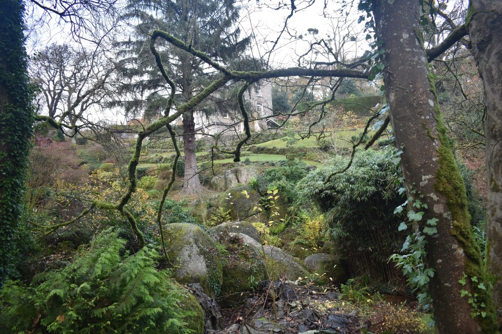
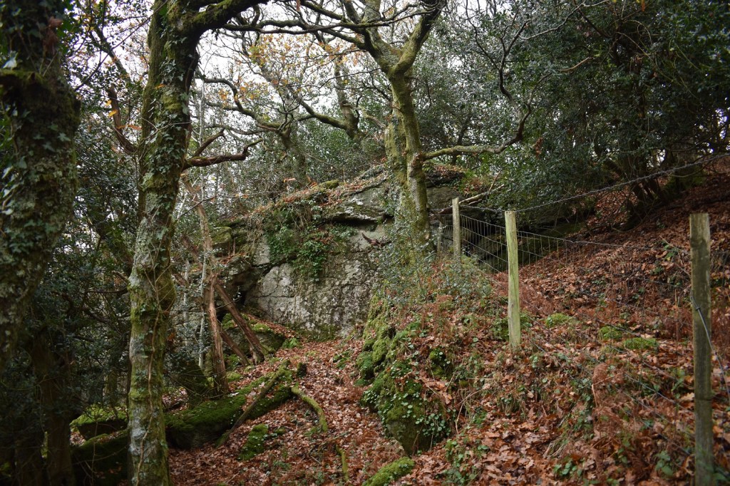
This one is part of Lustleigh Bottom Tor, not one on my list but you will walk past it on the ascending path up from Hisley Bridge towards Sharpitor
Lower Sharpitor, this one is on your right as the path turns to head towards Hammerslake. The outcrop is another which is fairly large, but near to Sharpitor it looks tiny. Another not on my list
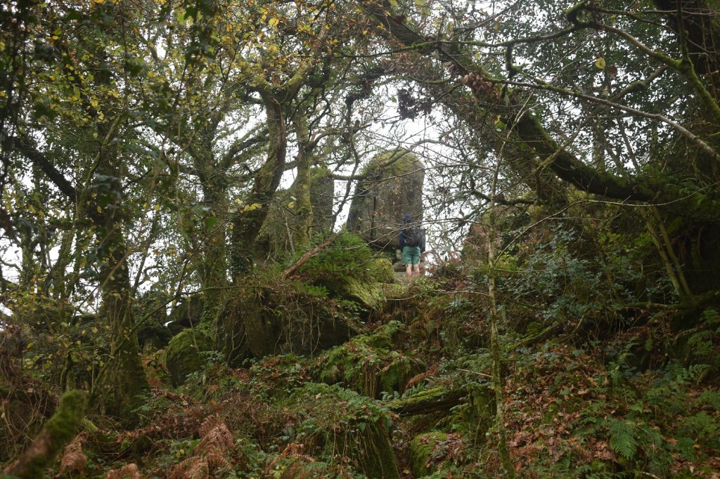
Part of Sharpitor, this tor is huge, some websites split it into 2 tors
The upright sections of Sharpitor and at the highest point of this tor
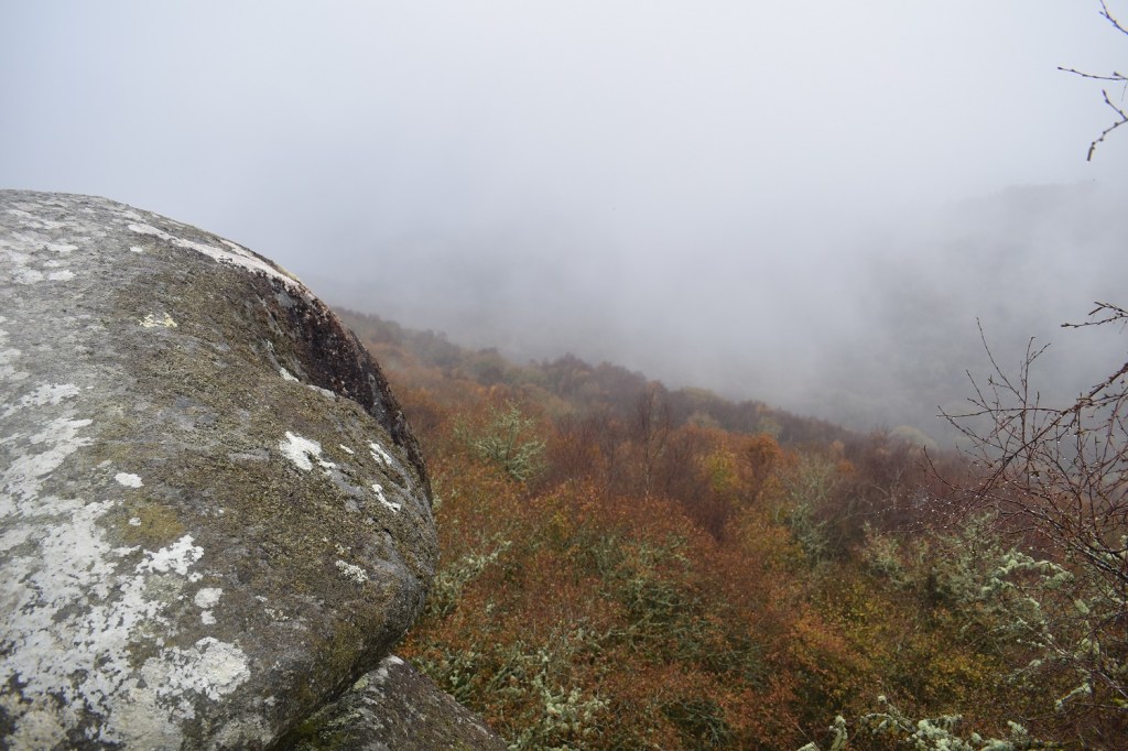
Normally I would show you the view from Sharpitor but today there isn’t one as the cloud is low and it is now drizzling lightly. This is the next outcrop along this ridge and is called Harton Chest, because it looks like a chest! However the best part of this outcrop isn’t the chest but the…..
…rounded boulder over the view of the cleave, only today you can’t see owt
Looking back to the high point of Sharpitor, plenty of browns and greens up here as well
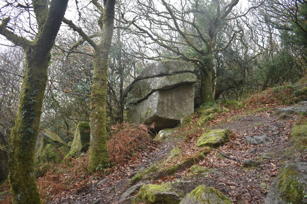
Foxworthy Tor, or part of it anyway, no view behind as there would normally be.
Hunters Tor and a bit of clearing cloud
Hunters Tor and the swirling low cloud
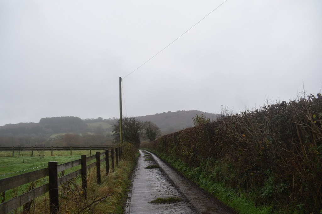
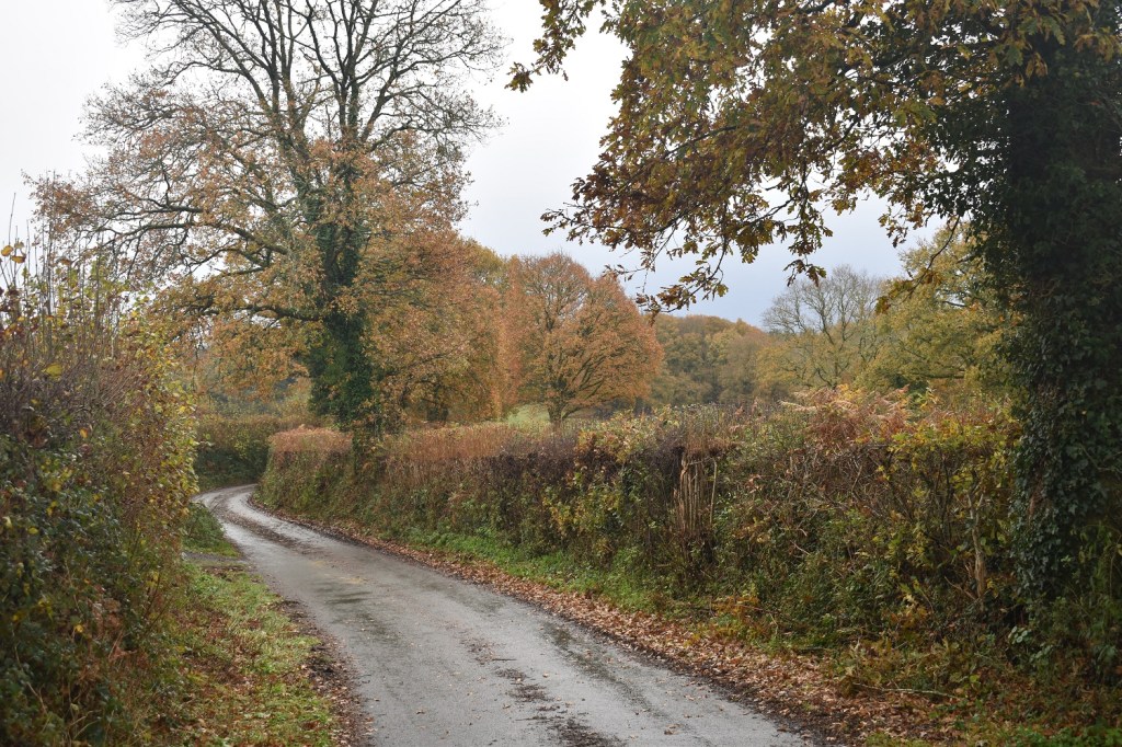
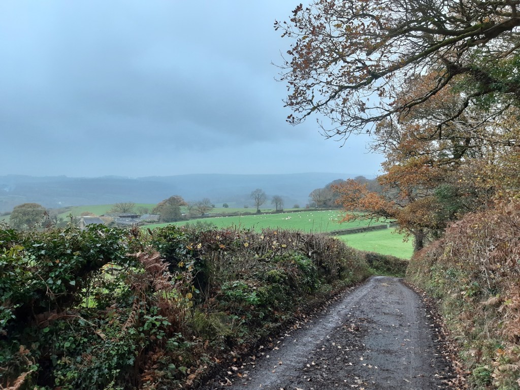
This is the lane out towards Barnecourt, looking back towards Hunters Tor above the hedge on the right
The fields around Barnecourt
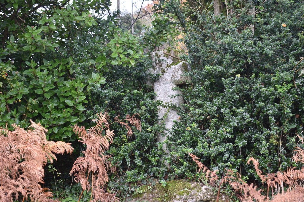
Sanduck Cross, which needs a bit of a haircut
I quite liked this tree in Sanduck
Looking back towards Sanduck, at this point it had brightened a bit and there were spots of blue sky above
Whilst the majority of the walk had been brown and green, this lane section after Sanduck was full of browns, yellows and burnt orange
Sanduck Grove Tor, a decent sized outcrop just off the path as I turn into woodland after leaving the lane. Not on my list currently but might make it on there.
Middle Combe Tor or the part of it by the path, the rest is up to the left in the trees
Which way? Well its right for me, having come from the left. The stall you can see part of is for eggs. Ring in advance to order if you are passing through and need an omelette
The tors really come thick and fast in Lustleigh. This is Pathfields Northwest Tor. Lots more tors in this area.
Pathfields Northwest Tor, a lot bigger than you think
Pathfields Tor is clearly marked by the huge rock with a quarter of it missing, like a carved apple, there is more rocks in this tor up in the treeline behind
I haven’t taken the easy path to Lustleigh from beside the carved apple in the previous photo, instead I’ve passed through a gate below and turned immediately left along a woodland path by the stream, over rocks. This is a sort of bridge across the stream, a ridge rock then a kind of clapper!!
If you like a tor outcrop in your garden then the house behind the tree is for you
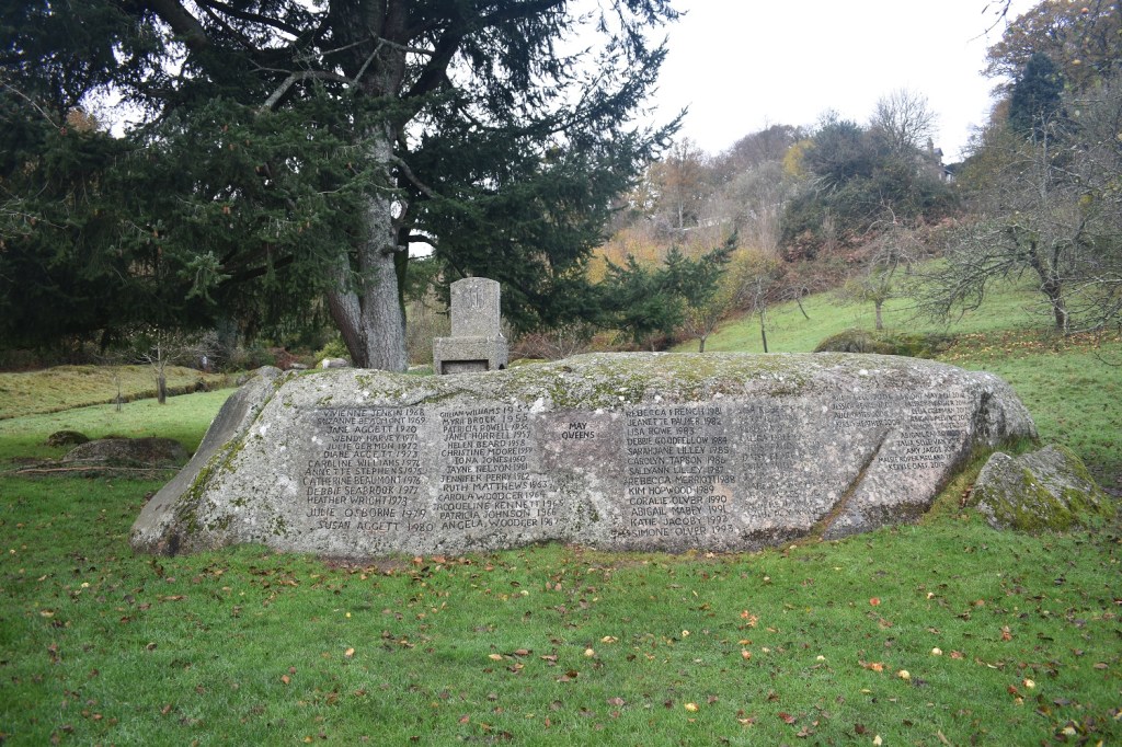
The woodland/stream/rocky path leads you to a green area, with rocks and small trees. The stream, which has been tamed and straightened through it, is present and this is the May Queen stone with the throne on top. the names of the May queens are carved in the stone
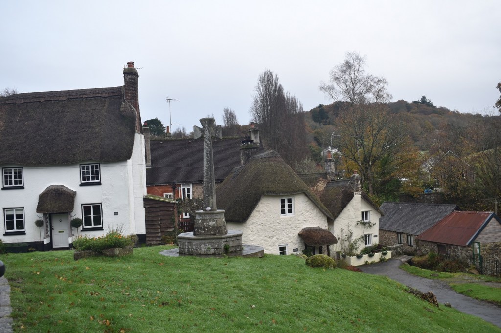
Lustleigh Church
And Lustleigh Village Cross, the pub is just to the left here but is obviously closed, so I will have to walk on
Parts of Lustleigh and the valley that holds the A382 which runs from the A38 up towards Moretonhampstead and beyond. I’m about to cross that to go looking for a tor that I missed previously in this area.
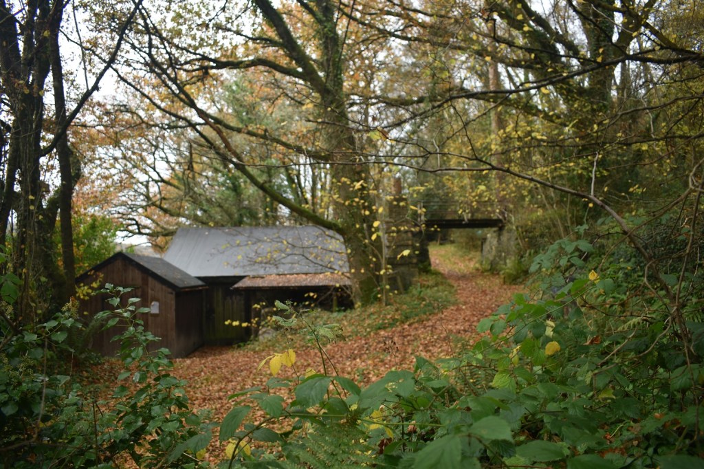
This is Kelly Mine, or the buildings of it at least, this is at the bottom of the hill after crossing the A382, the sign for the path is hard to see in the undergrowth, but if you follow my route its just to your right as you hit the A382
A climbing path leads you past the reservoir for the mine and upwards. to your right you will see some rocks. This is Kelly Mine Tor
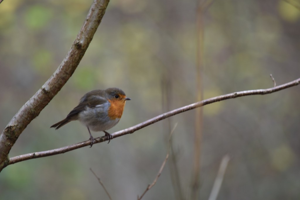
I looped around the small valley, off path at this point, in the woodland and picked up the track/path on the other side of the valley having crossed the stream. This is Little Castor or part of it, I didn’t see much of this one last time I was here. And it might be one that doesn’t stay on my list as I’m not that impressed to be honest.
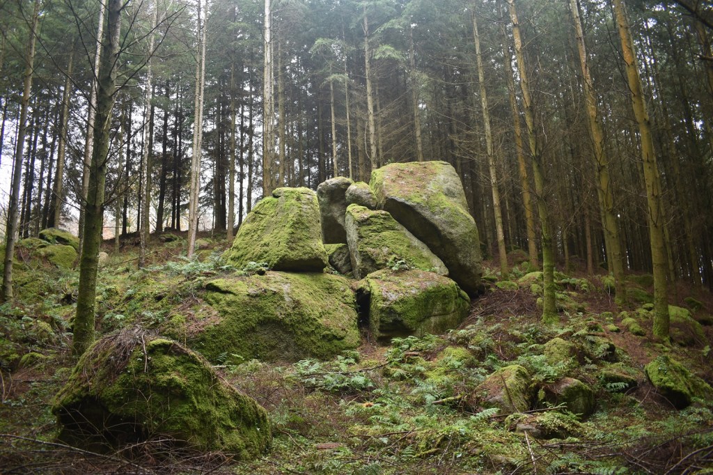
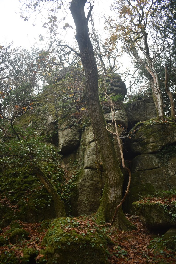
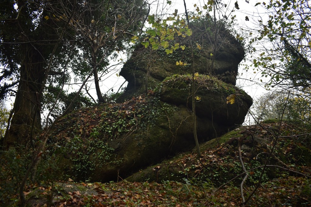
This one however will be on it. Great Warmpit Copse Tor. I missed it last time I was here by 100 metres but its a good one. there is more here than on this photo. The black streak running down under the tor is me. I lost grip at the top and slid into the tree on the left. I still have the elbow scab 5 days later!
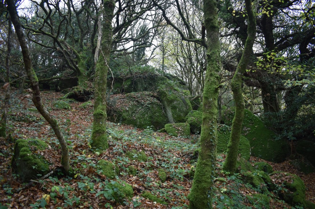
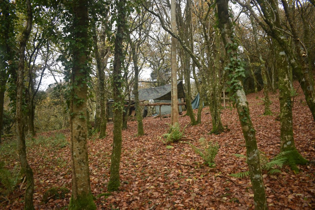
This is a woodland camp above Great Warmpit Copse Tor. It may help you locate the tor when descending from Lower Castor
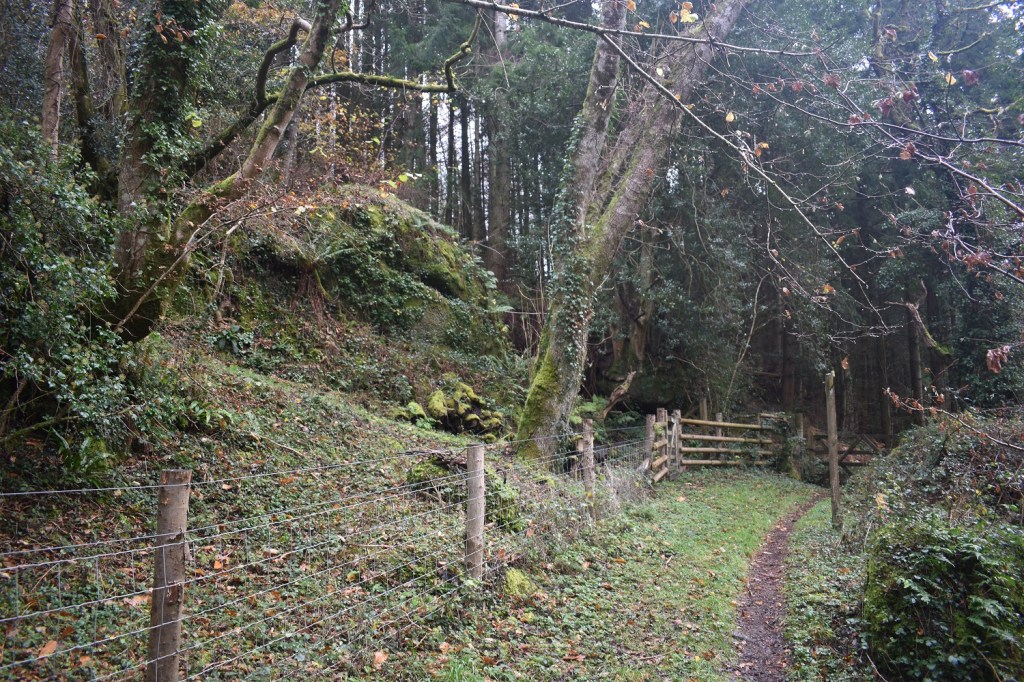
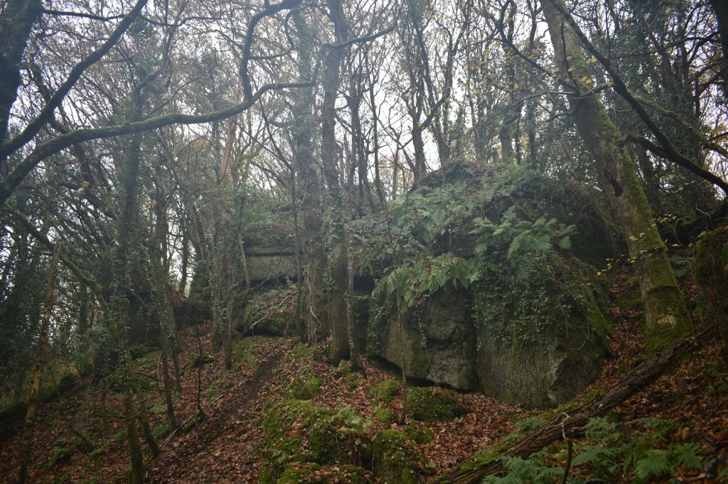
And here is Lower Castor by the fence. Next I headed south east following the fence, into a rarely explored section of the woodland and passed a small tor, not named. Above a house being refurbed and to a gap in the bushes which drops me on to the road above Slade Cross
Slade Cross
I headed straight across the road at Slade Cross and came quickly to Slade Acre house, which is the house on the right here. The rock on the left is part of Slade Copse Tor, the tor runs into the woods on my left for a fair distance
In behind this rock is more outcrops, if you peer between the hedge you can see them
Down the lane towards Higher Knowle Wood
Now I have grouped the two tors of Higher Knowle Wood name into one page, this is the north tor, with more rocks on my right here
And this is the south tor, a more impressive looking tor and much bigger than the north version
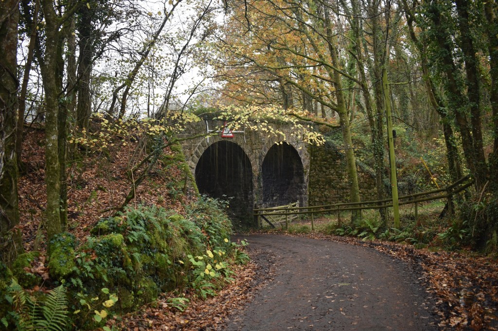
I’ve left the woodland and got back on the road through Knowle and I’m passing under the old railway line, which is now a good cycle path
Just after the last photo you hit Packsaddle Bridge, that’s Ivy Cottage on the left
And finally Drakeford Bridge over the River Bovey. So 3 fine bridges, a cross and dozens of tors and more in between to find on this walk. In fact if you want to have a look at the Tors of Dartmoor website, on the map part, which shows all the tors. And see how many I didn’t go and see in this area, even 50 or so metres off path. A great area to explore.
10 thoughts on “Lustleigh Cleave, Sanduck and Great Warmpit Copse”
Good post, Steve, but the rocks you have called Slade Acre appear to be outliers of Slade Copse Tor with Slade Acre Rock being to the east of the road. I’m glad you like Great Warmpit Copse Tor, it’s deserving of the ‘Great’ title.
I’ll have a look at Slade Acre, thanks Max, I thought originally it was both sides of the road, if not then I will swap over to Slade Copse. I also looked at Sanduck Grove Tor on your website, but the location on your map looked to be the wrong side of the path through the woodland. The outcrop I have photo’d is definitely east of the path on the OS map is there more to the west?
Nice to see this lovely area in pictures. Sanduck was once the home of my old pal Barbara MacDonald, a farmer who campaigned hard for ramblers’ rights.
Superb walk albeit in rather grey weather but at least you have some woods and interesting stuff to retreat to. Have to take what you can get in these difficult (and yet again, confusing and contradictory times, if you know what I mean!). If this was last Sunday you might not want to read my latest post from a walk a hundred miles further north! 🙂
Yes confusing times, great that eating a meal in a pub in tier 2 stops the virus, and just drinking would mean you are clearly infected. I’ve read your new post and yes that is what I’d heard. Everything north of dartmoor was bathed in sunshine. Even the north Devon coast had plenty of sun
Looks like a fab walk – loads of interest. The tree in Sanduck – you’re right. It’s gorgeous. I can also see a face in Sanduck Grove Tor, but that could just be me 😀


Good post, Steve, but the rocks you have called Slade Acre appear to be outliers of Slade Copse Tor with Slade Acre Rock being to the east of the road. I’m glad you like Great Warmpit Copse Tor, it’s deserving of the ‘Great’ title.
LikeLiked by 1 person
I’ll have a look at Slade Acre, thanks Max, I thought originally it was both sides of the road, if not then I will swap over to Slade Copse. I also looked at Sanduck Grove Tor on your website, but the location on your map looked to be the wrong side of the path through the woodland. The outcrop I have photo’d is definitely east of the path on the OS map is there more to the west?
LikeLiked by 1 person
Yes, team have noticed that too. It seems that the public footpath has been rerouted around the west side of the tor.
LikeLiked by 1 person
A very atmospheric looking walk. Fingers crossed your pub reopens!
LikeLiked by 1 person
Nice to see this lovely area in pictures. Sanduck was once the home of my old pal Barbara MacDonald, a farmer who campaigned hard for ramblers’ rights.
LikeLiked by 1 person
Sanduck is a nice little hamlet, lovely cottages and houses there
LikeLiked by 1 person
Superb walk albeit in rather grey weather but at least you have some woods and interesting stuff to retreat to. Have to take what you can get in these difficult (and yet again, confusing and contradictory times, if you know what I mean!). If this was last Sunday you might not want to read my latest post from a walk a hundred miles further north! 🙂
LikeLiked by 1 person
Yes confusing times, great that eating a meal in a pub in tier 2 stops the virus, and just drinking would mean you are clearly infected. I’ve read your new post and yes that is what I’d heard. Everything north of dartmoor was bathed in sunshine. Even the north Devon coast had plenty of sun
LikeLiked by 1 person
Looks like a fab walk – loads of interest. The tree in Sanduck – you’re right. It’s gorgeous. I can also see a face in Sanduck Grove Tor, but that could just be me 😀
LikeLiked by 1 person
Ha, love it. I thought Sanduck Grove Tor was a group of frogs rising up!!
LikeLiked by 1 person